The best running trails around San Gillio
4.5
(281)
8,700
runners
328
runs
Jogging routes around San Gillio offer a blend of nature and varied terrain for outdoor activities in the Metropolitan City of Turin. The region features large green expanses like Parco Naturale La Mandria, providing extensive paths for running. Elevated areas such as Monte Musinè offer opportunities for more challenging trail runs with panoramic views. The landscape includes natural monuments and mountain peaks, creating diverse backdrops for jogging.
Best jogging routes around San Gillio
- The most popular jogging route is Viewpoint…
Last updated: September 29, 2026
76
runners
41.8km
07:11
2,210m
2,210m
Hard run. Very good fitness required. Sure-footedness, sturdy shoes and alpine experience required.
59
runners
12.2km
01:24
240m
240m
Moderate run. Good fitness required. Mostly paved surfaces. Suitable for all skill levels.

4.0
(2)
44
runners
6.56km
00:41
30m
30m
Moderate run. Good fitness required. Mostly paved surfaces. Suitable for all skill levels.
28
runners
9.30km
00:59
40m
40m
Moderate run. Good fitness required. Mostly paved surfaces. Suitable for all skill levels.
3.0
(1)
26
runners
8.30km
00:52
40m
40m
Moderate run. Good fitness required. Mostly paved surfaces. Suitable for all skill levels.
Get access to more routes and recommendations from other explorers.
Already have an account?
Our route recommendations are based on thousands of hikes, rides, and runs completed by other people on komoot.
Start today with a free account
Your next adventure awaits.
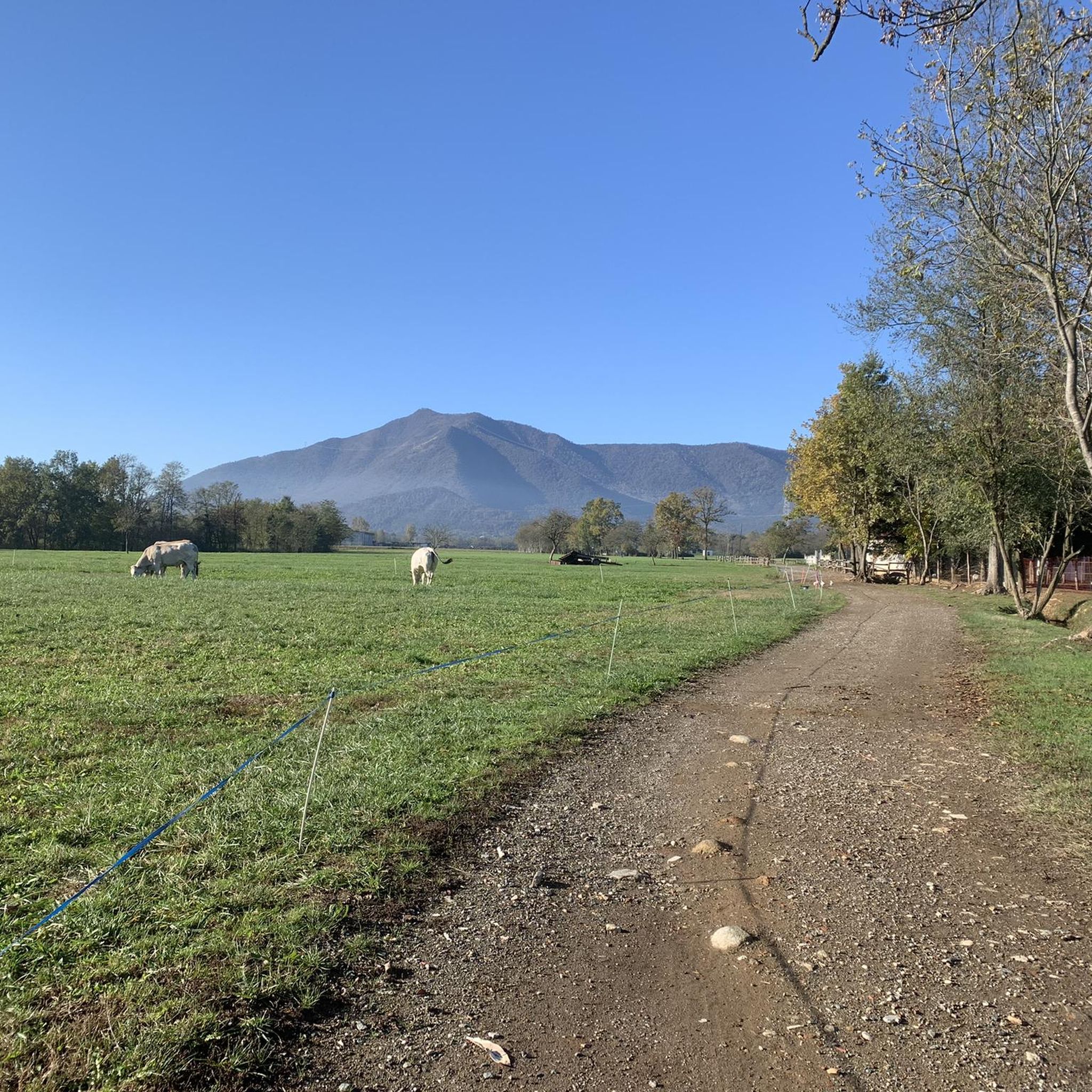
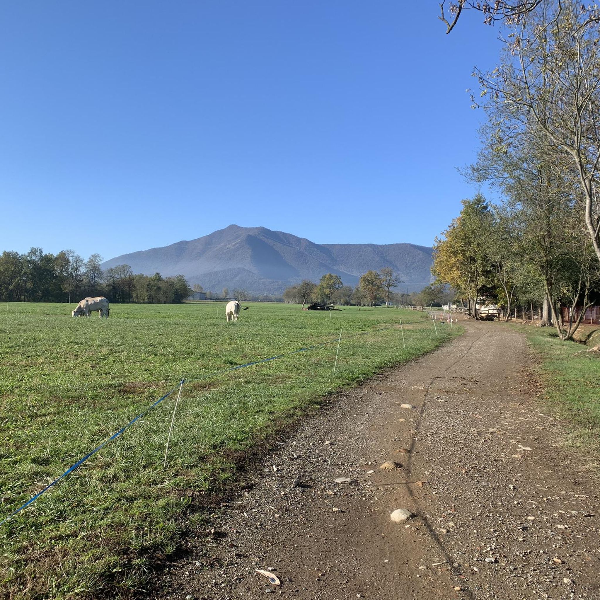

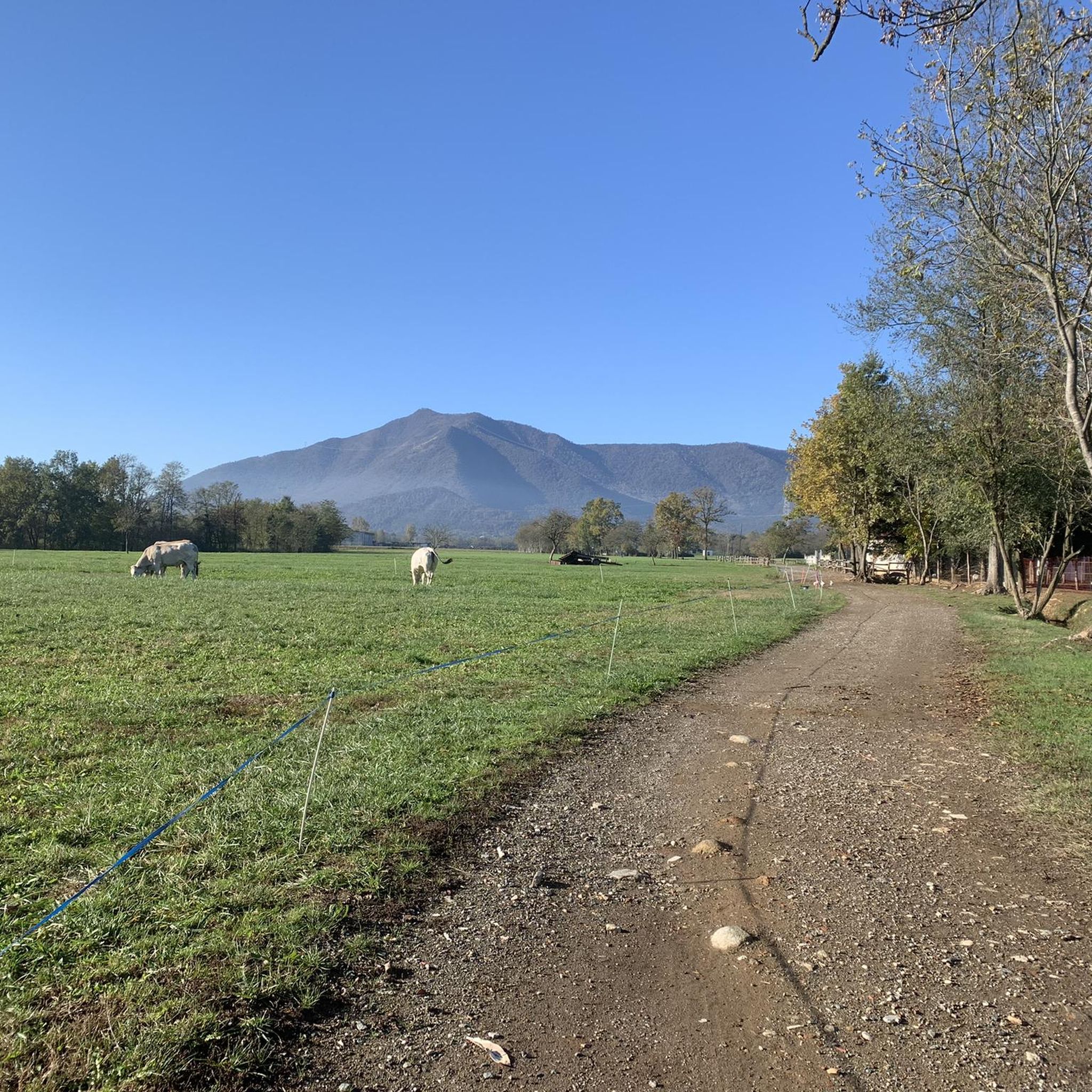
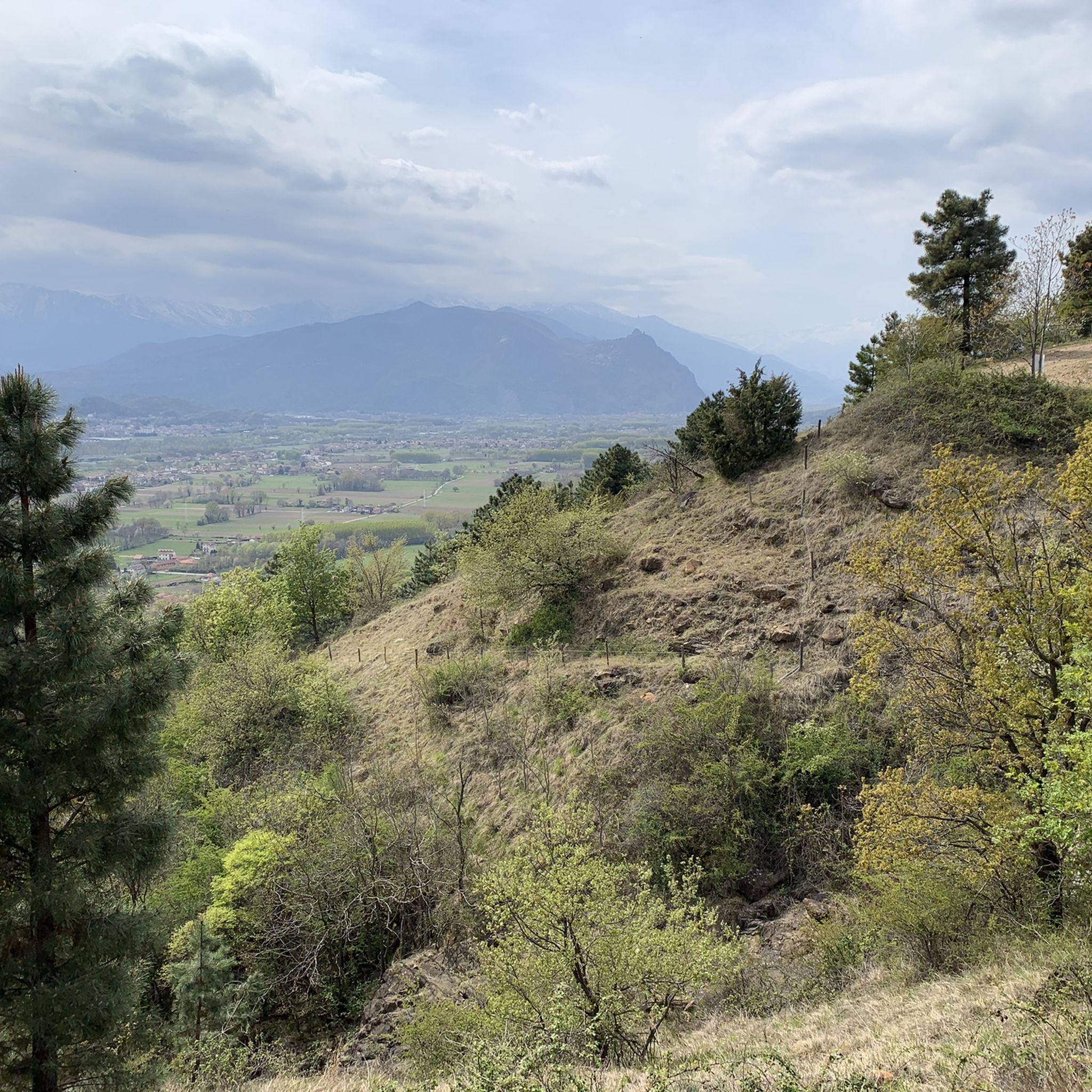
Tips from the Community

Beautiful park to visit on foot or by bike with ponds and many internal paths and roads
0
0

One of the many entrances to the park the herd
0
0

Accessible from Almese on a dirt road or by climbing from Rubiana towards Col del Lys at the crossroads shortly after Mompellato. You can also climb from Val della Torre via a hiking trail.
0
0


Departure for the firebreak trail right in front of the Kiosk
0
0

Very steep, steady climb. No equipment required; can be done in all seasons.
0
0

Good starting point for excursions to Musiné. Convenient parking.
1
0
Frequently Asked Questions
How many running routes are available around San Gillio?
There are over 300 running routes available around San Gillio, offering a wide variety of options for joggers of all levels. These include 21 easy routes, 205 moderate routes, and 79 difficult routes.
What do other runners say about the jogging trails in San Gillio?
The running trails in San Gillio are highly rated by the komoot community, with an average score of 4.4 stars from over 140 reviews. More than 8000 runners have used komoot to explore the varied terrain, often praising the blend of natural beauty and diverse landscapes.
Are there running routes suitable for families in San Gillio?
Yes, San Gillio offers several family-friendly running options, particularly within the nearby Parco Naturale La Mandria. These routes often feature flatter terrain and a tranquil environment, especially during weekdays when car access is restricted, making them ideal for a relaxed jog with children. An example of a moderate route that traverses parts of the park is Cascina Rubbianetta – La Bizzarria loop from San Gillio.
Can I bring my dog on the running trails around San Gillio?
Many natural areas around San Gillio are dog-friendly, but it's always best to check specific park regulations, especially for areas like Parco Naturale La Mandria. Generally, dogs are welcome on trails if kept on a leash. The varied terrain, from open fields to wooded paths, provides a great environment for you and your canine companion to enjoy a run together.
Are there any running routes that feature waterfalls near San Gillio?
Yes, for those who enjoy scenic features, the Viewpoint – Tagliafuoco Waterfall loop from Villaggio is a popular choice. This 7.6-mile (12.2 km) moderate trail offers varied terrain and includes a beautiful waterfall, providing a refreshing highlight during your run.
What kind of terrain can I expect on running routes near San Gillio?
The running routes around San Gillio offer a diverse range of terrain. You can expect a blend of natural parks, gentle hills, and varied surfaces, from paved paths to dirt trails. The region's landscape includes natural monuments and mountain peaks, providing inspiring backdrops and different challenges for your run.
Are there challenging running routes with significant elevation gain?
Absolutely. For runners seeking a more strenuous workout, the region offers routes with considerable elevation. The Summit Cross of Monte Musinè loop from Brione is a difficult 7.2-mile (11.6 km) trail that leads through elevated terrain, providing an excellent opportunity for a good workout and rewarding panoramic views from Monte Musinè.
Are there any running routes that pass by historical or natural landmarks?
Yes, several routes offer points of interest. For instance, the Cascina Rubbianetta – La Bizzarria loop from San Gillio traverses parts of Parco Naturale La Mandria, passing by the historic La Bizzarria villa. Additionally, routes leading to Monte Musinè offer views of the Summit cross of Monte Musinè and other natural monuments like Pera Crusà (Truc Monsagnasco).
Are there easy running routes suitable for beginners in San Gillio?
Yes, San Gillio has 21 easy running routes perfect for beginners or those looking for a relaxed jog. An example is the Running loop from San Gillio, which is a manageable 3-mile (4.9 km) path with minimal elevation, ideal for a gentle introduction to the area's trails.
Are there circular running routes available around San Gillio?
Many of the running routes around San Gillio are designed as loops, allowing you to start and finish at the same point. This includes popular options like the Viewpoint – Tagliafuoco Waterfall loop from Villaggio and the Summit Cross of Monte Musinè loop from Brione, providing convenient and varied experiences.
What are some scenic running trails in the San Gillio area?
The region around San Gillio is known for its natural beauty, offering many scenic trails. Routes within Parco Naturale La Mandria provide tranquil, green expanses, while trails leading up Monte Musinè offer breathtaking panoramic views. The varied landscape, including natural monuments and mountain peaks, ensures inspiring backdrops for your run.
Is public transport available to access running trails near San Gillio?
San Gillio is a municipality within the Metropolitan City of Turin, and public transport options are generally available in the broader region. For specific trailheads, especially those further afield like Monte Musinè, it's advisable to check local bus schedules or consider a short drive from San Gillio to the starting points.
Are there any running routes that pass by cafes or places to rest?
While San Gillio is an agricultural comune, its proximity to larger areas and natural parks means that some routes, particularly those closer to villages or within popular parks like Parco Naturale La Mandria, may have facilities or nearby establishments where you can find refreshments. It's recommended to check the specific route details on komoot for amenities along the way.
Most popular routes around San Gillio
Most popular attractions around San Gillio

Get inspired with the komoot mobile app


Explore more
Browse the best Running Trails & Routes in other regions.
