The best road cycling routes around San Gillio
4.4
(660)
14,969
riders
128
rides
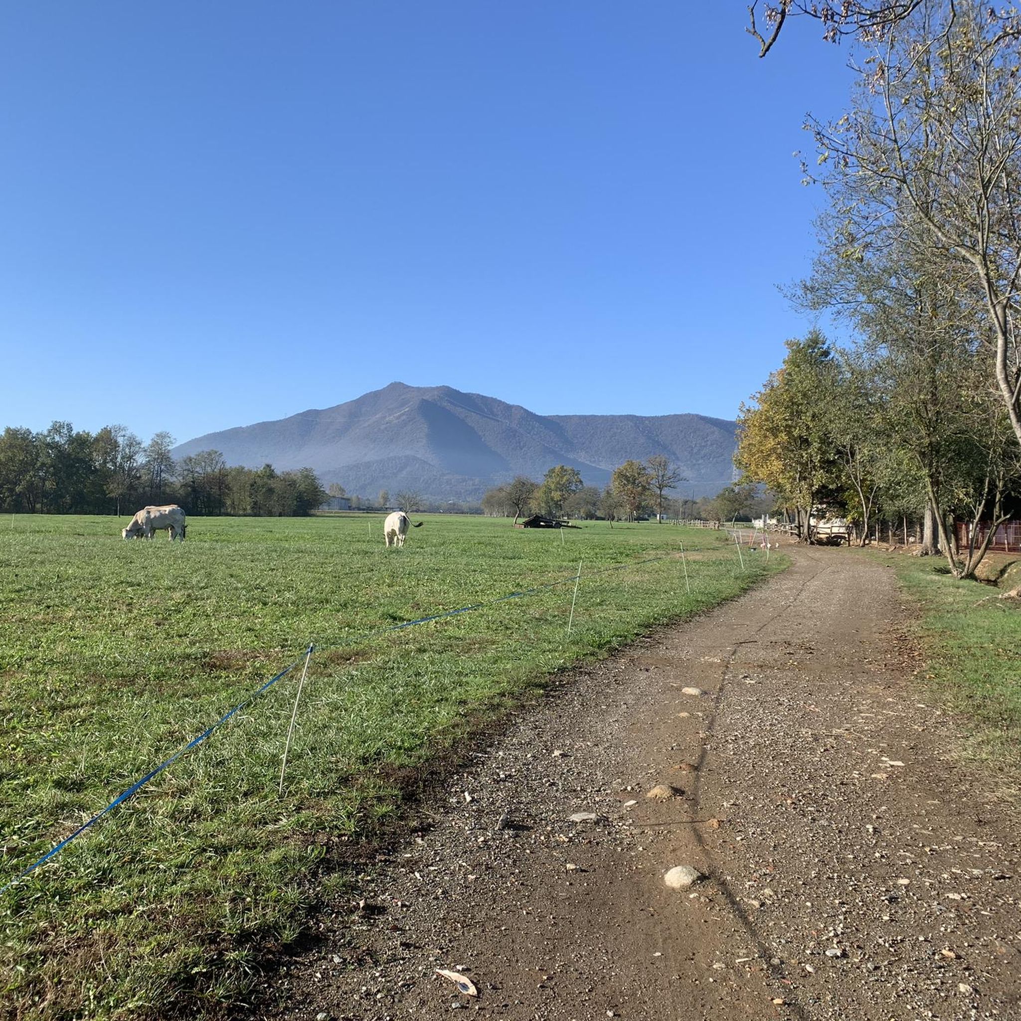
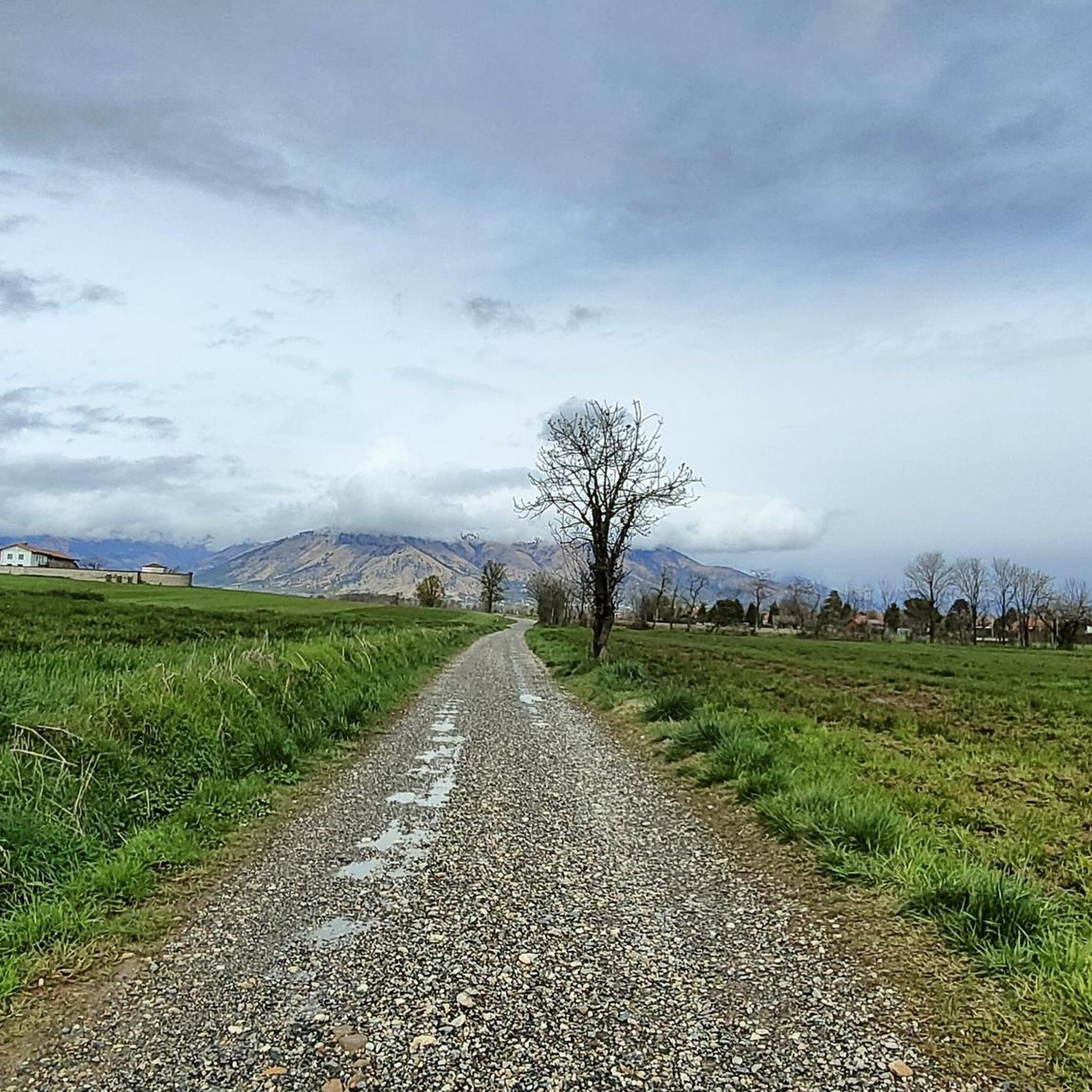
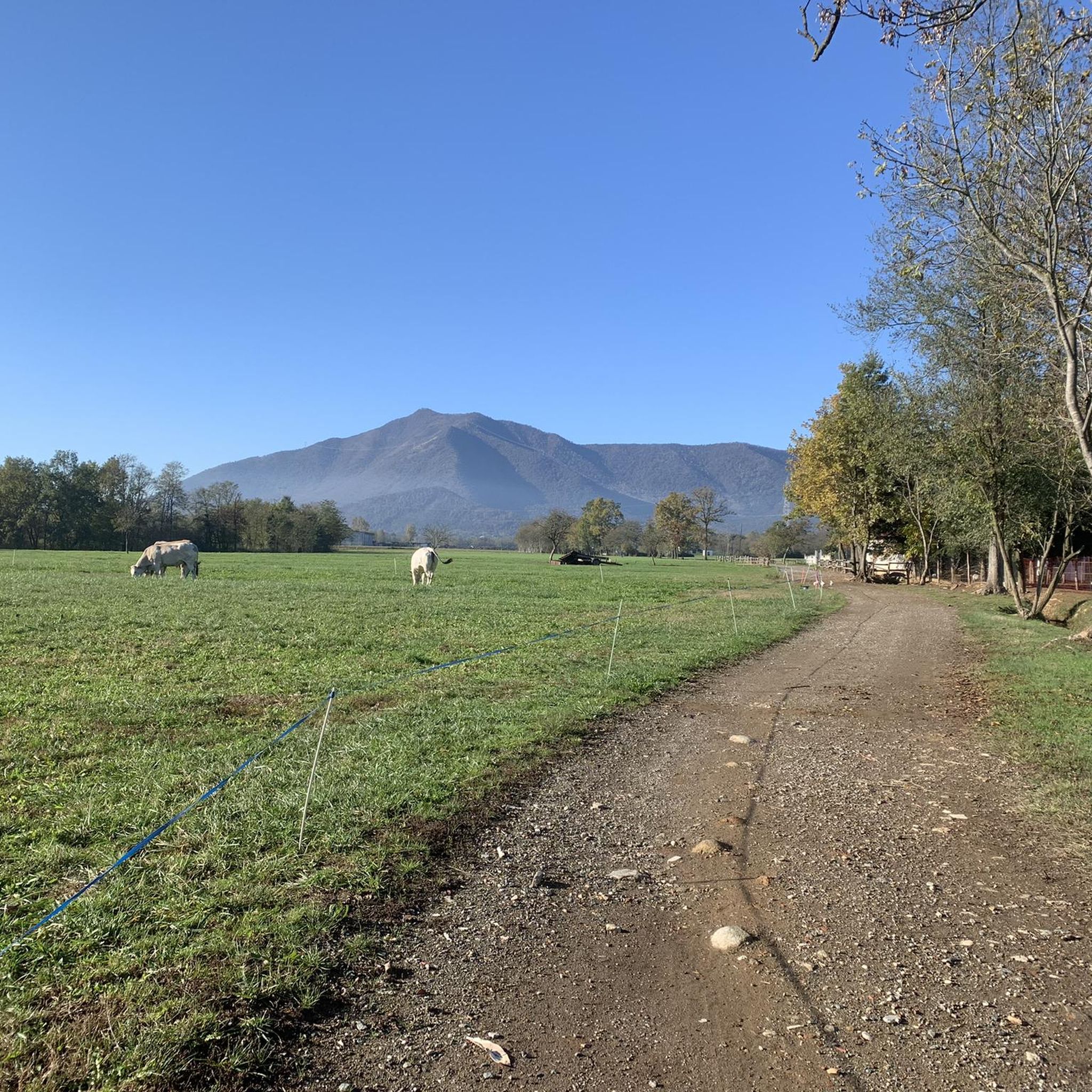
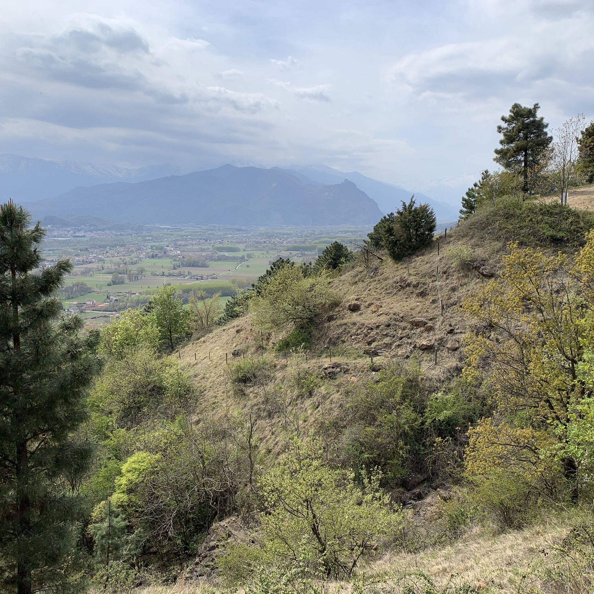
Road cycling around San Gillio offers a diverse landscape transitioning from the plains of Turin to the initial foothills of the Val di Susa. The region features varied terrain, including gentle countryside, extensive woodlands, and views of natural features like the Dora River. This provides a mix of relatively flat routes and more challenging, undulating paths for road cyclists. The proximity to the Val di Susa also allows access to more demanding routes.
Best road cycling routes around San Gillio
…Last updated: October 1, 2026
4.3
(22)
597
riders
89.5km
03:38
490m
490m
Moderate road ride. Good fitness required. Mostly well-paved surfaces and easy to ride.
4.3
(19)
228
riders
39.5km
01:44
310m
310m
Moderate road ride. Good fitness required. Some segments of this route may be unpaved and difficult to ride.

4.1
(7)
112
riders
58.7km
02:32
460m
460m
Moderate road ride. Good fitness required. Mostly well-paved surfaces and easy to ride.
4.3
(3)
74
riders
49.3km
02:13
510m
510m
Moderate road ride. Good fitness required. Mostly well-paved surfaces and easy to ride.
4.0
(2)
18
riders
27.6km
01:14
240m
240m
Easy road ride. Great for any fitness level. Mostly well-paved surfaces and easy to ride.
Get access to more routes and recommendations from other explorers.
Already have an account?
Our route recommendations are based on thousands of hikes, rides, and runs completed by other people on komoot.
Start today with a free account
Your next adventure awaits.

Tips from the Community

Beautiful park with many entrances from all directions
0
0

Beautiful view of the Devil's Bridge!
0
0


Departure for the firebreak trail right in front of the Kiosk
0
0

Originally built as a hunting and pleasure palace, it is now the second-largest castle in Italy and has been declared a UNESCO World Heritage Site. The complex includes the castle, the 60-hectare castle park, the historic village (Borgo) originally built for the servants, and the Parco della Mandria.
0
0


Pizzeria and Trattoria La Piazzetta, excellent and generous sandwiches for a pleasant stop. Good beer! Recommended!!
0
0

This 13th-century church of the Confraternity of the Disciplinati di Santa Croce has been remodeled over the centuries, but retains its general 13th-century layout: in particular, the portal with a round arch, the semicircular rose window, and several small terracotta arches on the side. The exposed stone bell tower has a beautiful modern sundial (1995). It is located just outside the historic center, on Via Roma, and is worth a visit.
1
0
Frequently Asked Questions
What kind of terrain can I expect when road cycling around San Gillio?
The region offers a diverse landscape, transitioning from the plains of Turin to the foothills of the Val di Susa. You'll find a mix of gentle countryside, extensive woodlands, and undulating paths. This provides options for both relaxed rides and more challenging ascents.
Are there road cycling routes suitable for beginners or those looking for an easy ride?
Yes, San Gillio offers a good selection of easier routes. Out of over 130 road cycling routes, 23 are classified as easy. These routes often pass through gentle countryside and offer a pleasant riding experience.
Where can I find challenging road cycling routes near San Gillio?
For more experienced cyclists seeking greater challenges, San Gillio provides access to more demanding routes in the nearby Val di Susa. Additionally, 23 of the routes directly around San Gillio are classified as difficult, offering significant elevation gains.
What natural features can I see along the road cycling routes in San Gillio?
Many routes offer views of the Dora River and pass through extensive woodlands. The region is also home to the large Forest of the Three Saints and provides scenic backdrops of Mount Musinè. You might also encounter natural monuments like the Pessina Pond or the Goja del Pis Waterfall.
Are there any historical landmarks or points of interest along the cycling paths?
Yes, several routes pass by historical sites. For instance, the Villar Dora Castle – San Didero Medieval Village loop from Alpignano offers views of historical sites. You can also explore castles like La Mandria Castle Village or Rivoli Castle, which often provide panoramic views.
What is the best time of year to go road cycling in San Gillio?
The region is generally pleasant for road cycling across multiple seasons. The diverse terrain means you can find suitable routes for different weather conditions. For specific seasonal weather patterns, it's advisable to check local forecasts closer to your visit.
Are there any car-free sections for safer cycling?
Yes, the La Mandria Natural Park, a significant natural attraction in the area, offers accessible routes for cycling, including car-free environments, particularly during weekdays. This enhances safety and enjoyment for cyclists.
How many road cycling routes are available around San Gillio?
There are over 130 road cycling routes available around San Gillio, catering to various abilities and preferences. These include 23 easy, 88 moderate, and 23 difficult routes.
What do other cyclists say about road cycling in San Gillio?
The area is highly rated by the komoot community, with an average score of 4.5 stars from over 480 reviews. Cyclists often praise the diverse terrain, scenic environments, and the variety of routes suitable for all skill levels.
Are there any loop routes for road cycling in the area?
Many of the road cycling routes around San Gillio are designed as loops, offering convenient starting and ending points. Examples include the Lago Grande di Avigliana – Lakes of Avigliana loop from Alpignano and the Truc Mola – Little Climb of Fiano loop from Turin.
Can I find routes that combine natural beauty with historical sites?
Absolutely. Routes like the Villar Dora Castle – San Didero Medieval Village loop from Alpignano offer a blend of scenic countryside and glimpses of historical landmarks, providing a rich cultural and natural experience.
What is the typical elevation gain on road cycling routes in San Gillio?
Elevation gains vary significantly depending on the route's difficulty. Moderate routes, such as the Lago Grande di Avigliana – Lakes of Avigliana loop from Alpignano, can have an elevation gain of around 533 meters. More challenging routes, especially those extending into the Val di Susa, will feature higher ascents.
Most popular routes around San Gillio
Most popular attractions around San Gillio

Get inspired with the komoot mobile app


Explore more
Browse the best Road cycling routes in other regions.
