The best mountain hikes around Chiusa Di San Michele
4.3
(21)
206
hikers
9
hikes
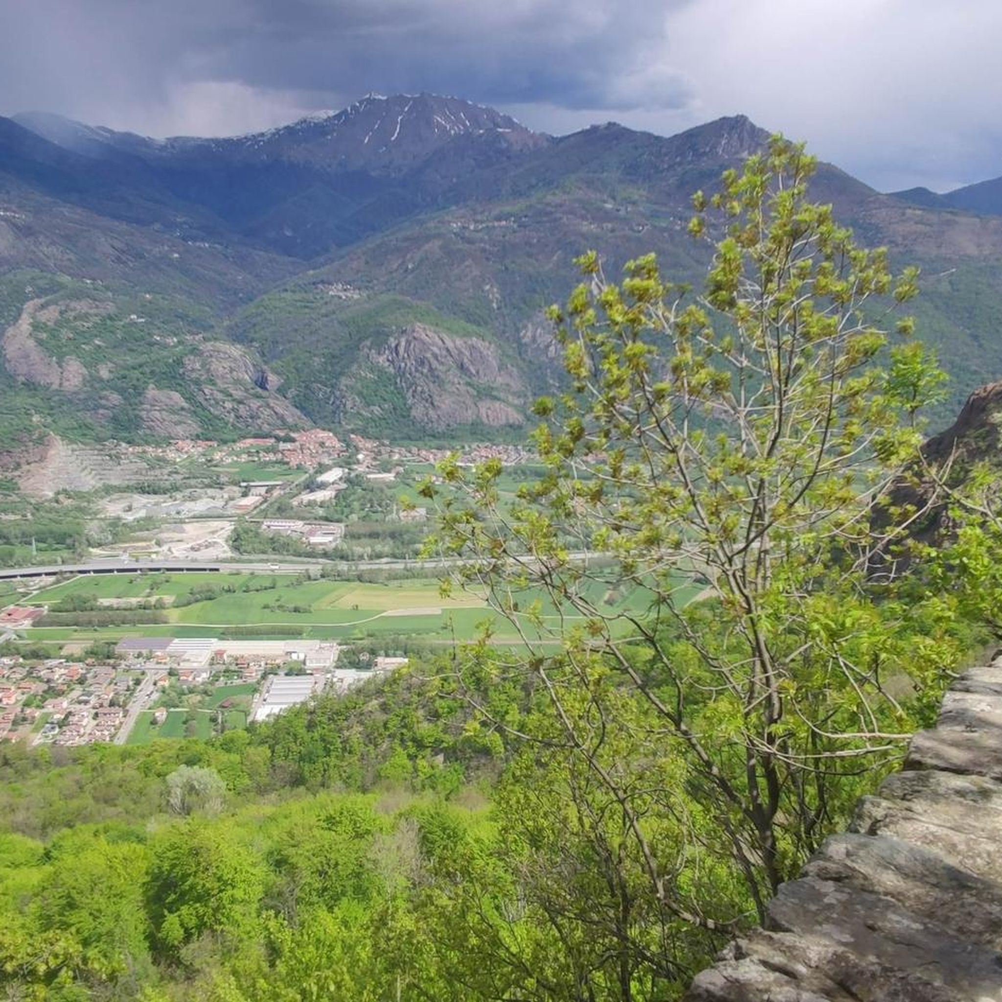
Mountaineering routes around Chiusa Di San Michele are set within the dramatic Susa Valley, characterized by the imposing presence of Mount Pirchiriano and Mount Caprasio. This region offers a rugged landscape with significant elevation changes, featuring dense chestnut and beech forests that provide shaded ascents. The Dora Riparia river winds through the valley, adding to the diverse terrain suitable for various outdoor pursuits.
Best mountaineering routes around Chiusa Di San Michele
- The most popular mountaineering route is Cesana Tibetan Bridge…
Last updated: October 4, 2026
4.8
(11)
114
hikers
6.31km
04:29
530m
530m
Hard mountaineering route. Good fitness required. Sure-footedness, sturdy shoes and alpine experience required.
4.6
(5)
41
hikers
9.08km
04:29
810m
810m
Moderate mountaineering route. Good fitness required. Mostly accessible paths. Sure-footedness required.

12
hikers
3.89km
02:25
460m
460m
Hard mountaineering route. Good fitness required. Sure-footedness, sturdy shoes and alpine experience required.
5.0
(1)
8
hikers
Hard mountaineering route. Good fitness required. Sure-footedness, sturdy shoes and alpine experience required.
5
hikers
8.81km
05:04
900m
900m
Hard mountaineering route. Very good fitness required. Sure-footedness, sturdy shoes and alpine experience required.
Get access to more routes and recommendations from other explorers.
Already have an account?
Our route recommendations are based on thousands of hikes, rides, and runs completed by other people on komoot.
Start today with a free account
Your next adventure awaits.
Popular around Chiusa Di San Michele
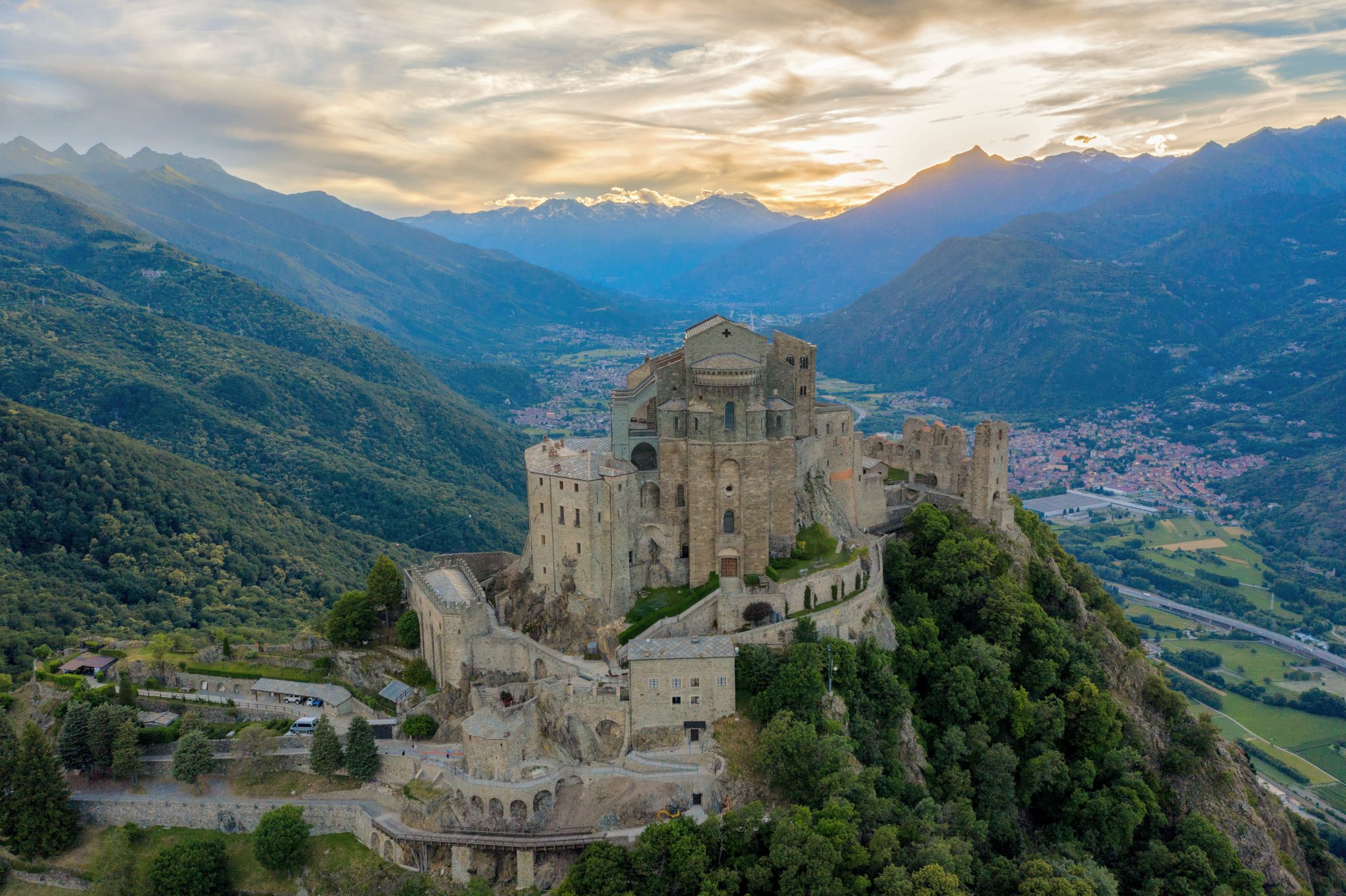
Via Francigena in Valle di Susa – complete route and 'for all' section
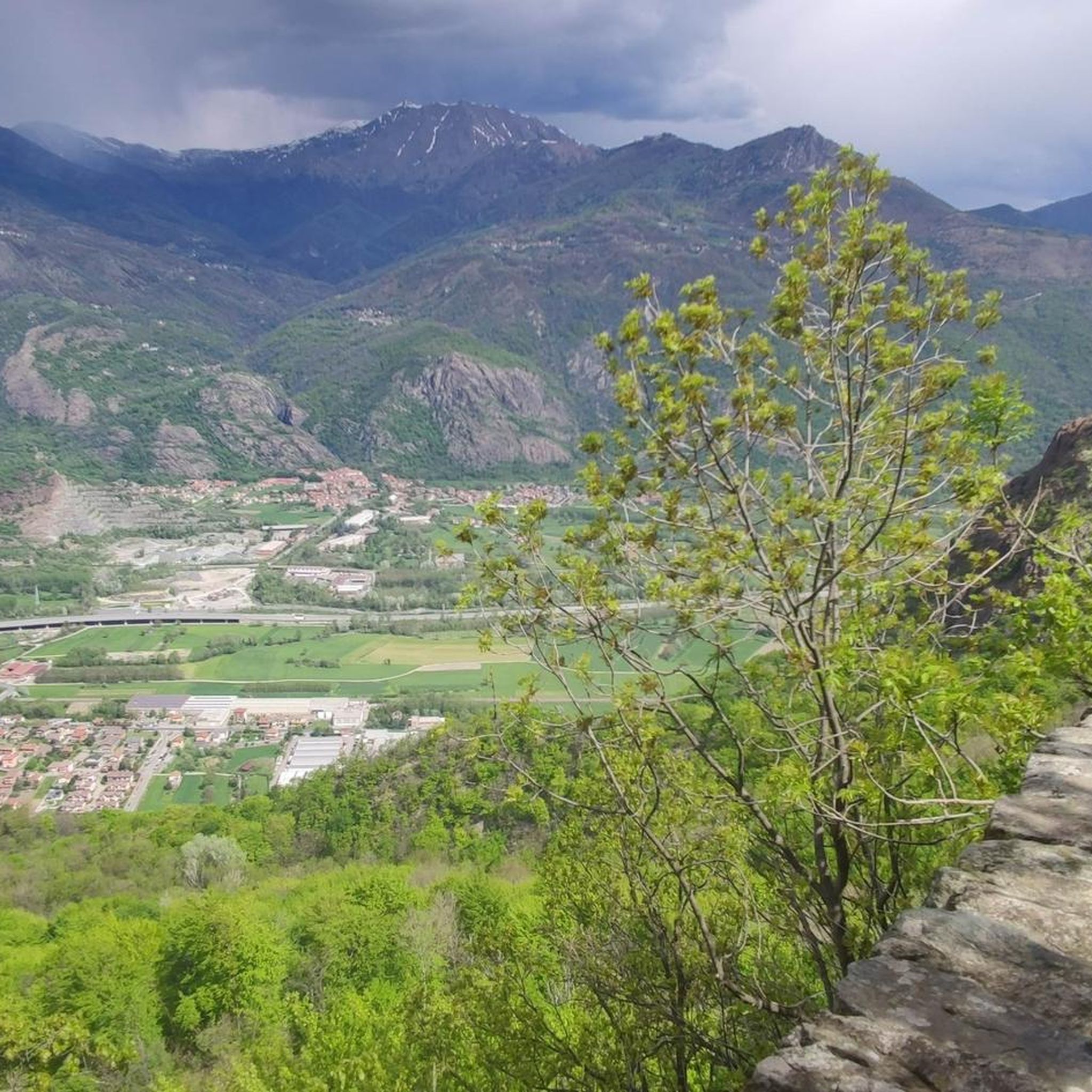
Hiking around Chiusa Di San Michele
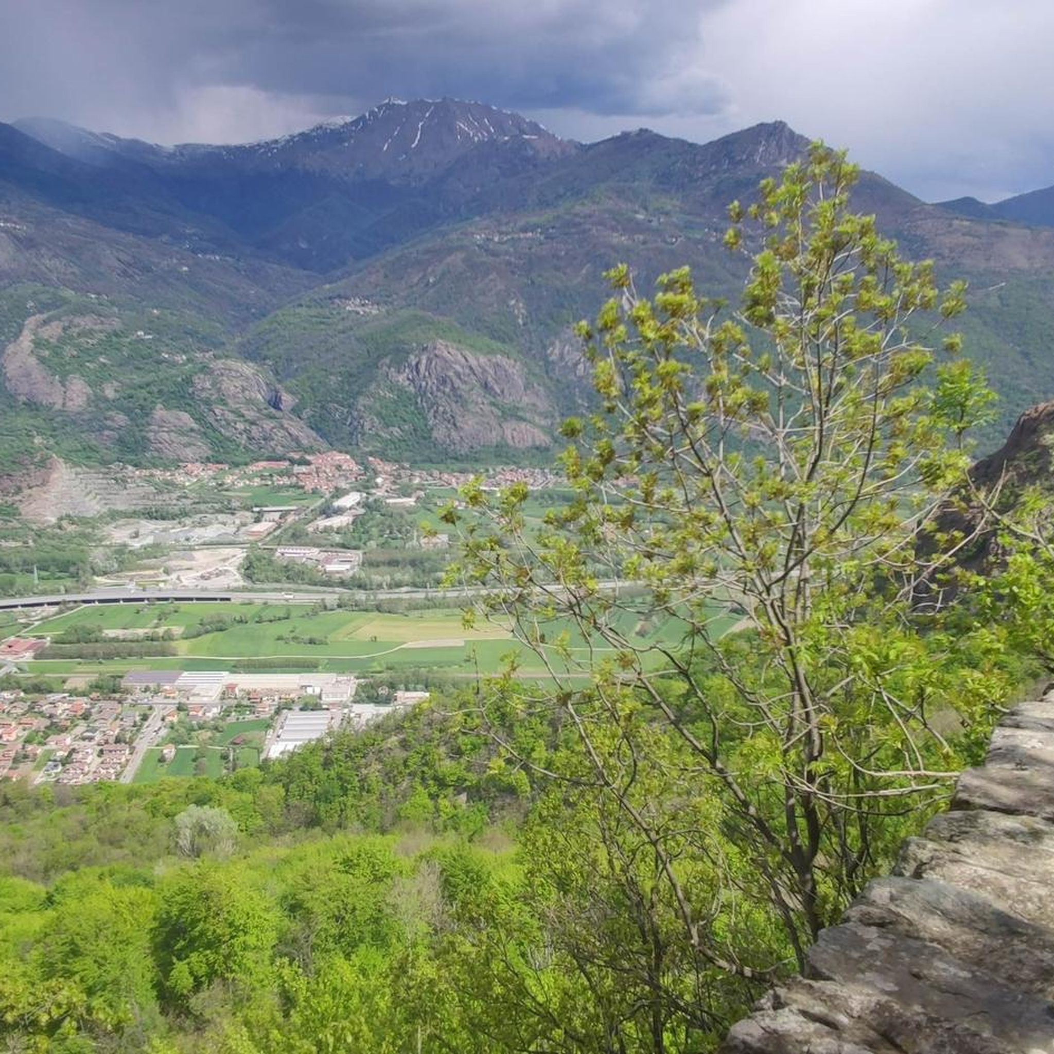
MTB Trails around Chiusa Di San Michele
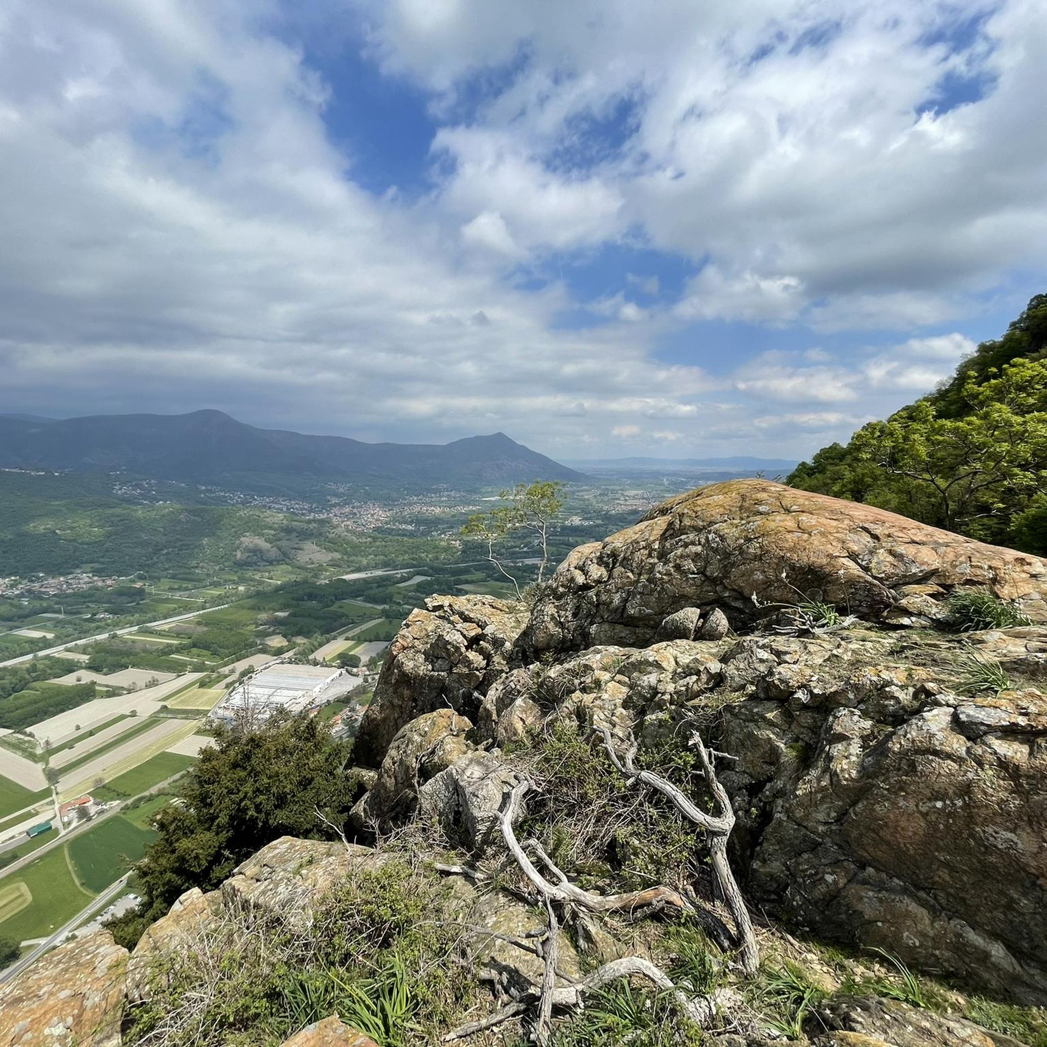
Cycling around Chiusa Di San Michele
Road Cycling Routes around Chiusa Di San Michele
Running Trails around Chiusa Di San Michele

Gravel biking around Chiusa Di San Michele
Other adventures around Chiusa Di San Michele

Tips from the Community

Once we reach the end of the road, the Eagle monument confirms that we've made it. It deserves praise just for that. And besides, it looks good on its own.
0
0

Sant'Ambrogio is an ancient village located at the entrance of the Val di Susa, along the Dora Riparia river, at the foot of the Sacra di San Michele. There is a legend about the foundation of the Sacra di San Michele, an abbey with a very characteristic shape, founded around 1000 by San Giovanni Vincenzo, former archbishop of Ravenna, perhaps replacing a Lombard temple dedicated to the Archangel Michael. You can read it near the Church, the starting point of the mule track that leads to it.
0
0

A grand 13th-century abbey, with walls as strong as the faith of its founders, evocative for its location and history, it's definitely worth a visit. A little trivia: Umberto Eco drew inspiration from this place for the setting of his masterpiece.
4
0
Climbing up to the Sacra di San Michele along the Stations of the Cross. Given the steepness, it's truly a Stations of the Cross.
0
0
Steep climb to the hamlet of San Pietro, which can become a real Stations of the Cross if you get too excited! Beautiful views of San Michele and wonderful woods.
0
0

The path up to San Michele gets steep very quickly!
0
0
Worth popping in to enjoy the coolness after a long hike on a summer's day
1
0

Accessible from multiple directions, both on asphalt and trail. Ideal stopping point
1
0
Frequently Asked Questions
What kind of mountaineering routes can I expect around Chiusa Di San Michele?
The Chiusa Di San Michele area, nestled in the dramatic Susa Valley, offers a variety of mountaineering routes. You'll find challenging ascents, scenic valley paths, and trails winding through dense chestnut and beech forests. The routes are predominantly difficult, with 11 out of 12 routes rated as such, making them suitable for those with good physical condition and alpine experience. There is also one moderate route available.
Are there any moderate mountaineering routes for those with less experience?
Yes, while most routes are challenging, there is a moderate option available. Consider the Punta dell'Aquila Summit Cross loop from Alpe Colombino. This 9.1 km path leads to a summit cross, offering expansive panoramic views of the Susa Valley and is a great choice for those seeking a less strenuous but still rewarding experience.
What are some notable landmarks or attractions I can see while mountaineering in the area?
The most iconic landmark is the Sacra di San Michele, an ancient abbey perched atop Mount Pirchiriano, which is often a destination or a prominent feature along many trails. You might also encounter various mountain passes such as Colle Braida or the Colle del Lys Pass and Memorial Tower. Additionally, there are several mountain huts like Rifugio Rocca Sella that can be found along the routes.
Are there any circular mountaineering routes in Chiusa Di San Michele?
Yes, several routes are designed as loops, allowing you to start and finish in the same location. Examples include the challenging Cesana Tibetan Bridge loop from Sant'Ambrogio di Torino, the moderate Punta dell'Aquila Summit Cross loop from Alpe Colombino, and the Mountaineering loop from Caprie.
What do other mountaineers say about the routes in Chiusa Di San Michele?
The mountaineering routes in Chiusa Di San Michele are highly regarded by the komoot community, with an average rating of 4.3 out of 5 stars from over 16 reviews. More than 200 mountaineers have used komoot to explore the varied terrain, often praising the challenging ascents and the stunning views of the Susa Valley.
Can I bring my dog on the mountaineering trails around Chiusa Di San Michele?
Many trails in the Susa Valley are dog-friendly, but it's always advisable to check specific route details or local regulations, especially when passing through protected areas or private lands. Ensure your dog is well-behaved, on a leash where required, and that you carry out all waste.
What is the best time of year for mountaineering in Chiusa Di San Michele?
The best time for mountaineering in Chiusa Di San Michele is typically from late spring to early autumn (May to October), when the weather is generally more stable and trails are clear of snow. During these months, you can enjoy the lush forests and clearer views. Winter mountaineering is possible but requires specific equipment and experience due to snow and ice conditions.
Are there any family-friendly mountaineering options in the area?
While most mountaineering routes in Chiusa Di San Michele are rated as difficult, the region does offer a variety of outdoor activities. For families, consider exploring the easier sections of trails leading to the Sacra di San Michele, or look for less strenuous hiking paths in the Susa Valley. Always check the difficulty and elevation gain of a route to ensure it's suitable for all family members.
How can I reach the trailheads using public transport in Chiusa Di San Michele?
Chiusa di San Michele is situated in the Susa Valley, which has some public transport connections. Local bus services may connect the town to nearby villages and some trailhead access points. For specific routes, it's recommended to check local bus schedules and routes in advance, as direct access to all mountaineering trailheads might require a short walk or a taxi from the nearest bus stop.
Where can I find parking for mountaineering routes near Chiusa Di San Michele?
Parking availability varies by trailhead. For popular starting points like Sant'Ambrogio di Torino (for the Cesana Tibetan Bridge loop) or Caprie (for the Mountaineering loop from Caprie), you can often find designated parking areas in or near the villages. It's advisable to arrive early, especially on weekends, as spaces can fill up quickly. Always check local signage for parking restrictions and fees.
Are there any places to eat or stay in Chiusa Di San Michele after a mountaineering trip?
Chiusa di San Michele, being a charming municipality, offers various amenities. You'll find cafes and restaurants in the town where you can refuel after your mountaineering adventures. There are also accommodation options available, ranging from guesthouses to hotels, providing a comfortable base for exploring the Susa Valley.
What is the elevation gain like on these mountaineering routes?
The mountaineering routes around Chiusa Di San Michele feature significant elevation changes, contributing to their challenging nature. For example, the Cesana Tibetan Bridge loop from Sant'Ambrogio di Torino involves an elevation gain of approximately 530 meters, while the Punta dell'Aquila Summit Cross loop from Alpe Colombino has an elevation gain of around 805 meters. Be prepared for sustained climbs.
Most popular routes around Chiusa Di San Michele
Most popular attractions around Chiusa Di San Michele

Get inspired with the komoot mobile app


Explore more
Browse the best Mountain Hikes & Routes in other regions.
