The best walks and hikes around Mattie
4.4
(1649)
7,614
hikers
24
hikes
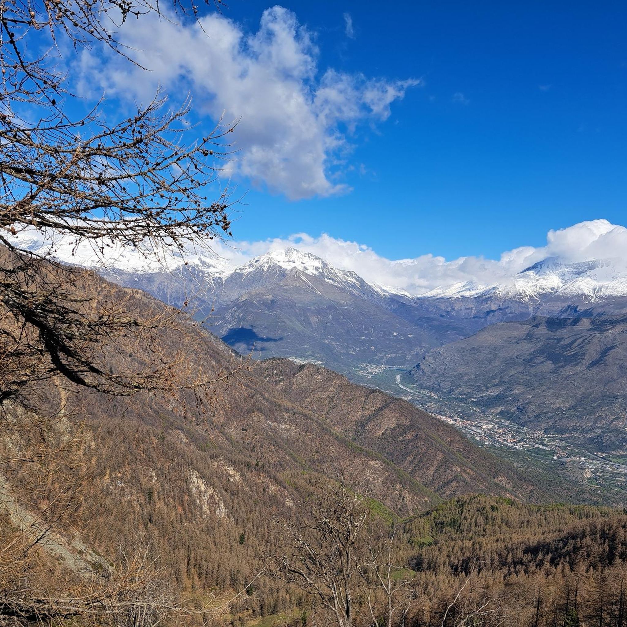
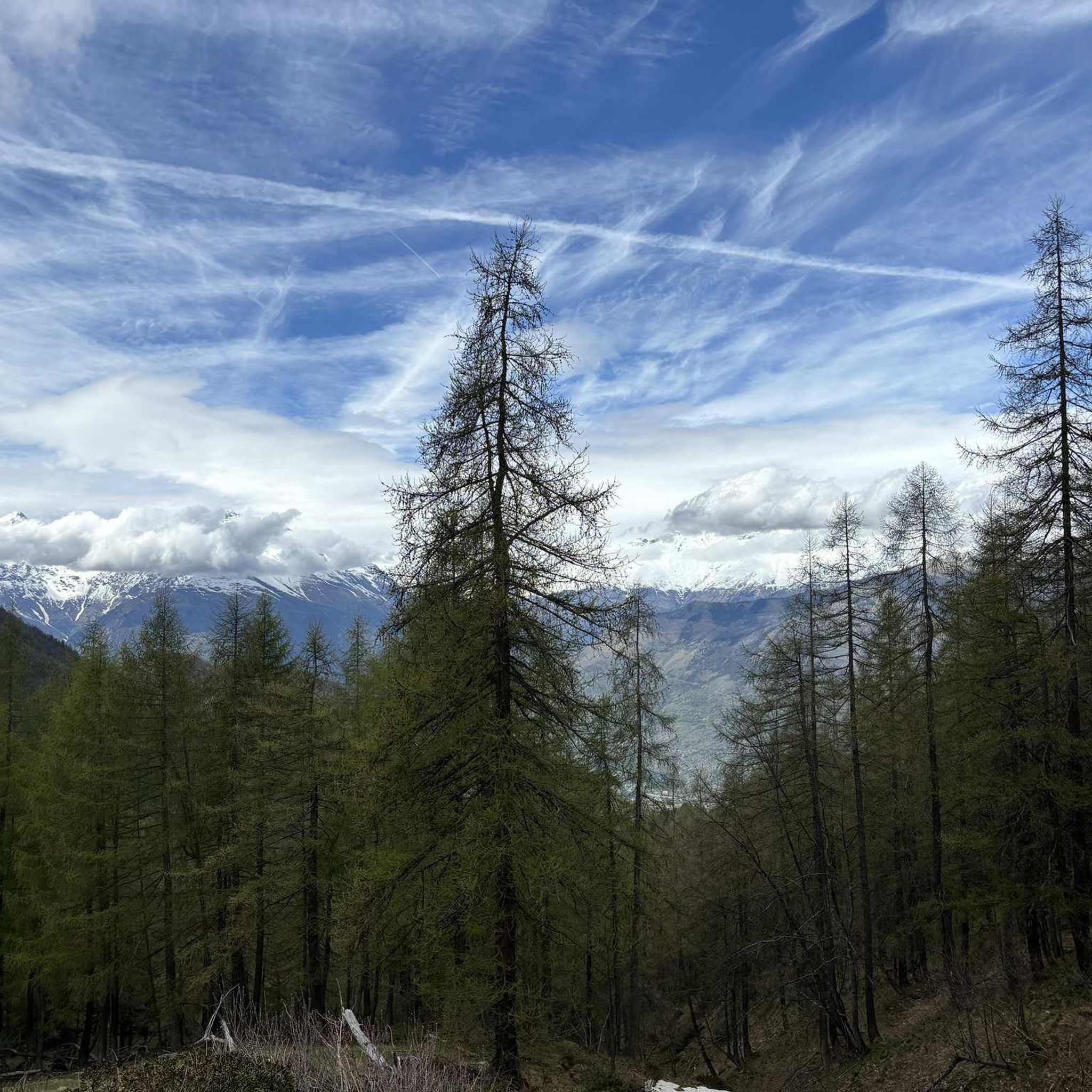
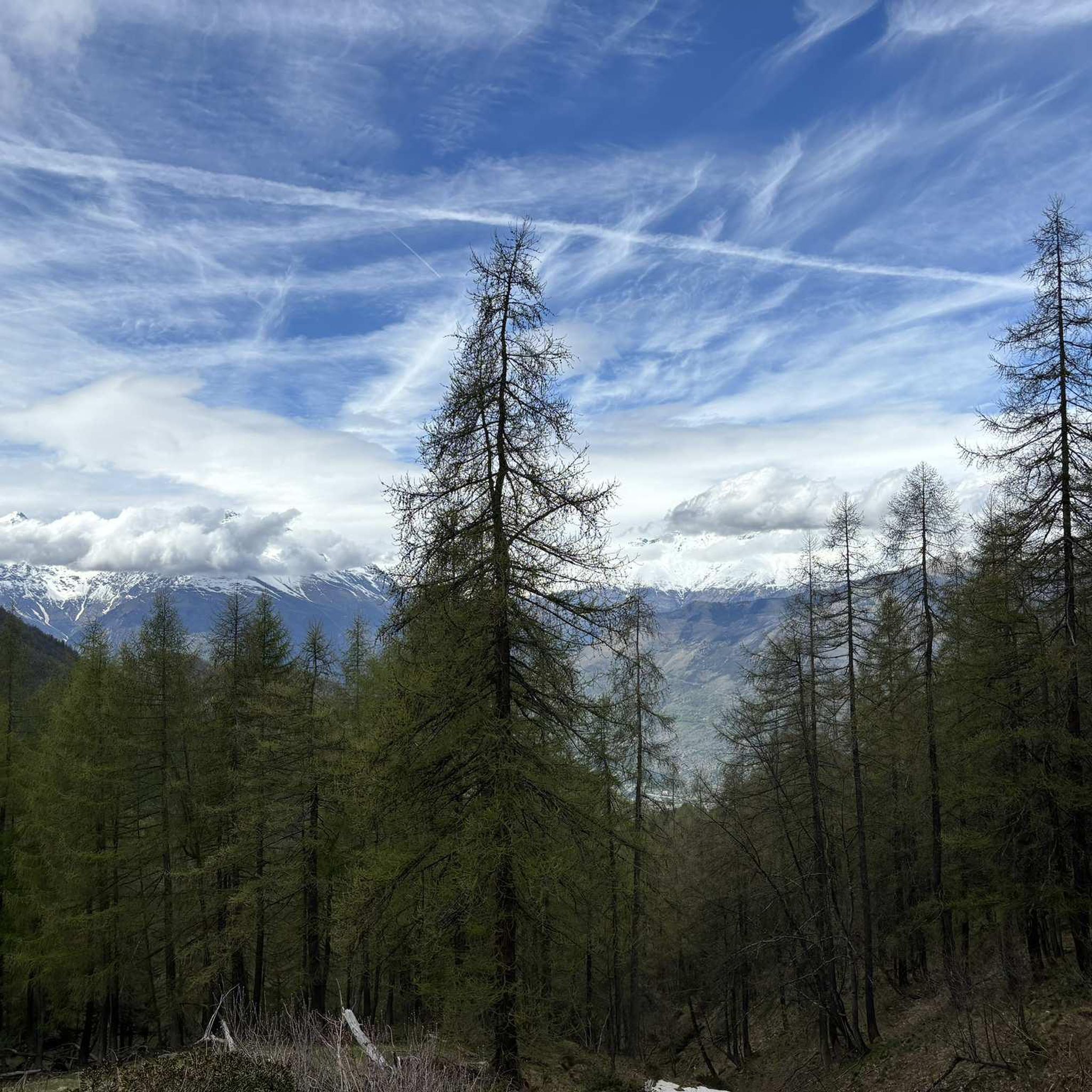
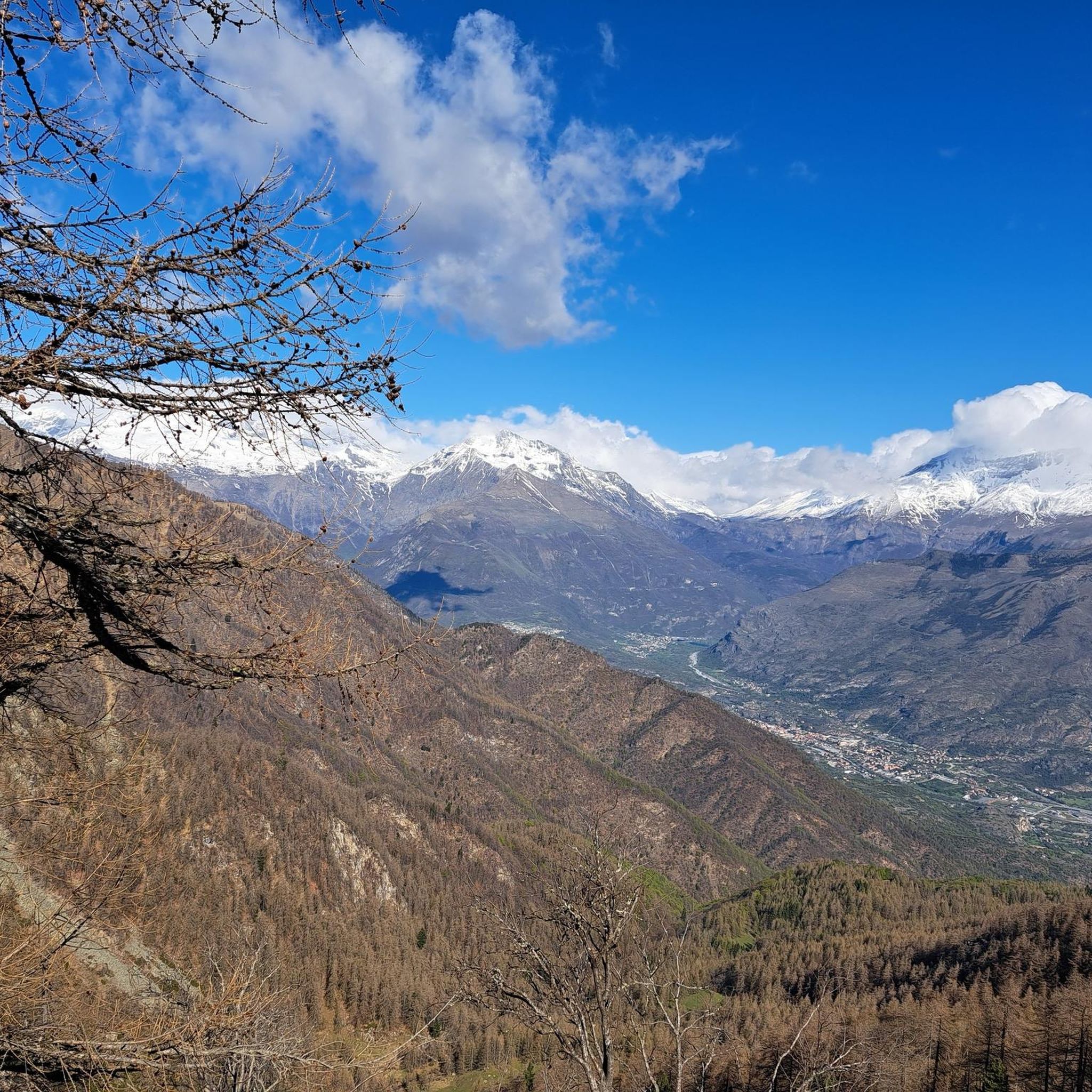
Hiking around Mattie, a village located in Italy's Val di Susa, offers access to diverse mountain terrain within the Piedmont region. The area is characterized by its valleys, forests, and the rugged landscapes of the Orsiera-Rocciavrè Park. Trails often feature significant elevation changes, leading to high-altitude bivouacs and mountain refuges. This environment provides a range of hiking experiences from moderate forest paths to challenging alpine ascents.
Best hiking trails around Mattie
- The most popular hiking route is Trail 514 from…
Last updated: August 19, 2026
4.0
(1)
15
hikers
13.1km
06:49
1,200m
1,200m
Hard hike. Very good fitness required. Mostly accessible paths. Sure-footedness required.
5
hikers
14.8km
07:16
1,200m
1,200m
Hard hike. Very good fitness required. Mostly accessible paths. Sure-footedness required.

Sign up for free
2
hikers
11.8km
03:45
380m
380m
Moderate hike. Good fitness required. Mostly accessible paths. Sure-footedness required.
4.0
(1)
3
hikers
12.1km
03:30
310m
300m
Moderate hike. Good fitness required. Easily-accessible paths. Suitable for all skill levels.
4.0
(4)
18
hikers
17.7km
07:52
1,150m
1,150m
Hard hike. Very good fitness required. Mostly accessible paths. Sure-footedness required.
Get access to more routes and recommendations from other explorers.
Sign up for free
Already have an account?
Our route recommendations are based on thousands of hikes, rides, and runs completed by other people on komoot.
Start today with a free account
Your next adventure awaits.
Login or Signup


Tips from the Community

The path runs beautifully through the forest
0
0

Pretty little village, restored houses and 2 fountains.
0
0
A small chapel nestled among the chestnut trees, not far from the stream. Unfortunately, I found it closed.
0
0

In the Orsiera Rocciavrè park. Reachable only by paths, not all of which are ideal for MTB. The effort is rewarded by this splendid place.
1
0

The Rifugio Toesca is located in the heart of the Orsiera-Rocciavrè Natural Park, in Val di Susa. It offers typical Piedmontese cuisine and the possibility of overnight stays in both rooms and tents. It is open all year round, every day in summer until the end of September, and weekends and holidays during the rest of the year. To check, consult the website or contact the refuge directly: https://rifugiotoesca.it/
2
0

Also called Cappella San Lorenzo Toglie, it is located a few steps from the road that goes to Alpe Toglie. Very well looked after, and with large green lawns around where you can lie down
1
0
Hamlet of Mattie characterized by the huts and mountain pastures where cheese products are produced, as well as the numerous fountains where you can fill your water bottles. In the period from 16 April to 15 November it is possible to go by car (the road is dirt but in good condition). Excursions start from here, and you can head to the Orsiera bivouac, or to the Amprimo refuge.
0
0
Bivouac on a large plateau, always open in summer, while between September and May it is closed. The keys must be requested at the municipal offices of Mattie. In the period from 16 April to 15 November you can drive up to Prà la Grangia, a hamlet of Mattie, on a fairly passable dirt road, proceeding with caution.
1
0
Frequently Asked Questions
How many hiking trails are there in Mattie?
Mattie, located in Italy's Val di Susa, offers a diverse network of over 20 hiking routes. These trails explore mountain valleys, dense forests, and lead to high-altitude refuges within the Piedmont region.
What are the difficulty levels of hiking trails around Mattie?
The trails around Mattie cater to various skill levels. You'll find 14 moderate routes, often leading through forested slopes, and 9 challenging trails that involve significant elevation changes and alpine ascents. There is also 1 easy route available for a more relaxed experience.
What natural attractions can I see while hiking near Mattie?
The Mattie area is rich in natural beauty. Hikers can discover stunning natural monuments such as Lake Laux and Lake Malciaussia. For those seeking panoramic views, the Rocciamelone Summit and Monte Albergian Summit offer breathtaking vistas of the surrounding mountains.
Are there mountain huts or refuges available along the trails in Mattie?
Yes, the Mattie region features several mountain huts and refuges that provide resting points or overnight stays for hikers. Notable options include Amprimo Mountain Hut, Toesca Hut, and Selleries Hut. These can be found along various routes, such as the Forest trail to Rifugio Amprimo (via Trail 521).
What do other hikers say about the trails in Mattie?
The hiking trails around Mattie are highly regarded by the komoot community, holding an average rating of 4.4 stars from over 1300 reviews. Hikers often praise the diverse mountain terrain, the challenging alpine ascents, and the serene forest paths that lead to high-altitude bivouacs and refuges.
Are there any family-friendly hiking routes in Mattie?
While many trails in Mattie involve significant elevation changes, there is 1 easy route available that could be suitable for families. For a moderate option, the Forest trail to Rifugio Amprimo (via Trail 521) is a popular choice, offering a pleasant walk through forested slopes.
Can I find circular walks around Mattie?
Yes, there are options for circular walks in the Mattie area. An example is the Toesca Hut – Balmetta Alpine Pasture loop from Case Plaia, which offers a challenging yet rewarding experience through the alpine landscape.
What kind of wildlife can I expect to see while hiking in the Mattie region?
Hiking in the Mattie region, particularly within the Orsiera-Rocciavrè Park, offers opportunities to observe local wildlife. The diverse mountain terrain and dense forests provide habitats for various species, though specific sightings depend on the season and trail. Keep an eye out for local fauna typical of the Piedmont Alps.
Are there any historical or cultural points of interest along the trails?
The Mattie area, being part of Italy's Val di Susa, has a rich history. Trails like the Mulattiera Trail through Orsiera-Rocciavrè Park (via Route 525) follow old mule tracks, hinting at historical passages. Additionally, the Susa Valley pilgrimage trail to San Gregorio (via Trail 526) suggests a connection to historical and religious routes in the region.
What is the best time of year to hike in Mattie?
Mattie's mountain environment means hiking conditions vary significantly by season. Spring and autumn offer pleasant temperatures and vibrant scenery, while summer is ideal for higher-altitude trails. Winter hiking is possible but requires appropriate gear and awareness of snow conditions, especially on challenging alpine routes.
Are there any long-distance or multi-day hiking options in Mattie?
Many trails around Mattie lead to mountain huts and bivouacs, suggesting possibilities for longer excursions or multi-day hikes. For instance, the Trail 514 from Mattie to Bivacco Bergerie dell'Orsiera leads to a high-altitude bivouac, which can be part of a more extended adventure.
Most popular routes around Mattie
Most popular attractions around Mattie

Get inspired with the komoot mobile app


Explore more
Browse the best Hikes in other regions.
