The best mountain hikes around Mattie
39
hikers
6
hikes
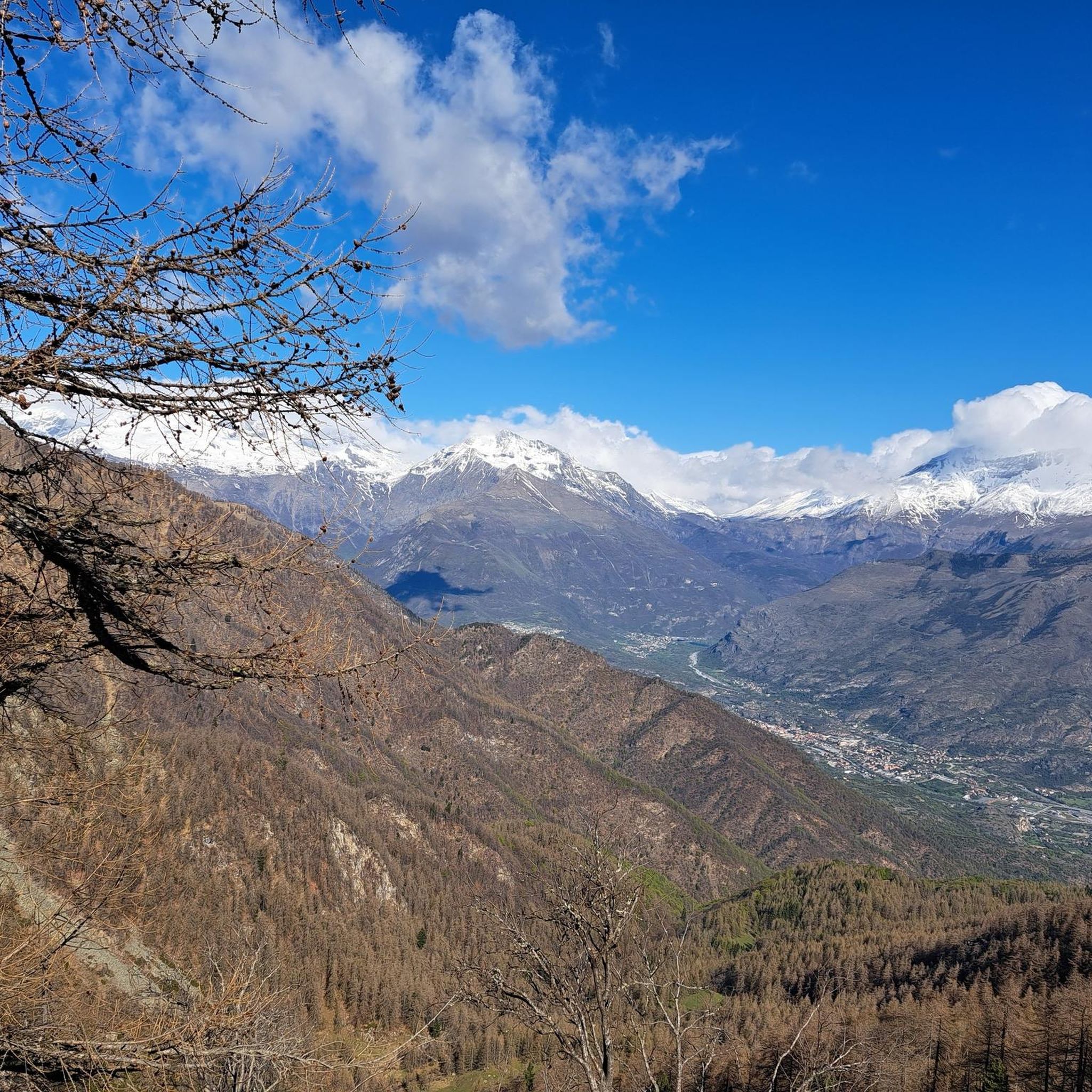
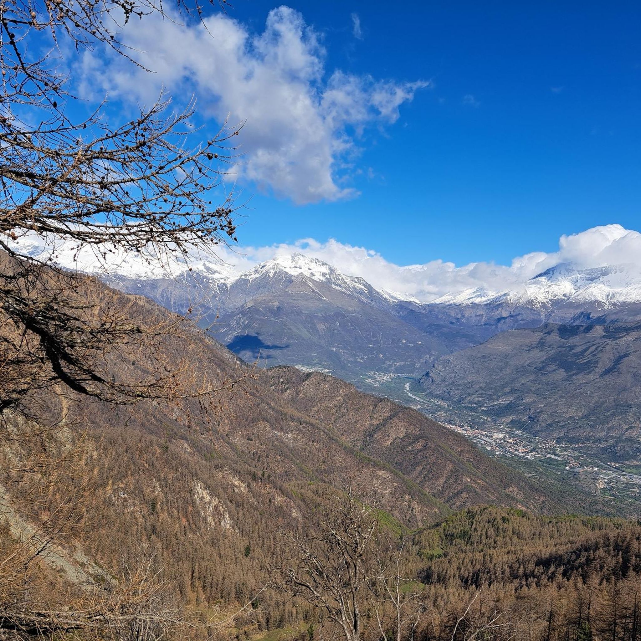
Mountaineering routes around Mattie are situated in Italy's Piedmont region, within the Susa Valley, approximately 45 km west of Turin. This area is characterized by the majestic Graian and Cottian Alps, featuring towering peaks, alpine lakes, and dense forests. Notable natural features include significant summits like Mount Rocciamelone (3,538 meters) and historic mountain passes. The region also encompasses protected areas such as the Orsiera-Rocciavrè Natural Park, offering diverse terrain for mountaineering.
Best mountaineering routes around Mattie
- The most popular mountaineering…
Last updated: July 4, 2026
12
hikers
10.4km
03:26
490m
490m
Moderate mountaineering route. Good fitness required. Easily-accessible paths. Suitable for all skill levels.
8
hikers
3.17km
01:56
270m
270m
Hard mountaineering route. Great for any fitness level. Sure-footedness, sturdy shoes and alpine experience required.

Sign up for free
7
hikers
4.38km
03:14
620m
610m
Hard mountaineering route. Good fitness required. Sure-footedness, sturdy shoes and alpine experience required.
6
hikers
14.9km
06:52
1,080m
1,080m
Hard mountaineering route. Very good fitness required. Sure-footedness, sturdy shoes and alpine experience required.
6
hikers
8.80km
05:04
900m
900m
Hard mountaineering route. Very good fitness required. Sure-footedness, sturdy shoes and alpine experience required.
Our route recommendations are based on thousands of hikes, rides, and runs completed by other people on komoot.
Start today with a free account
Your next adventure awaits.
Login or Signup

Tips from the Community

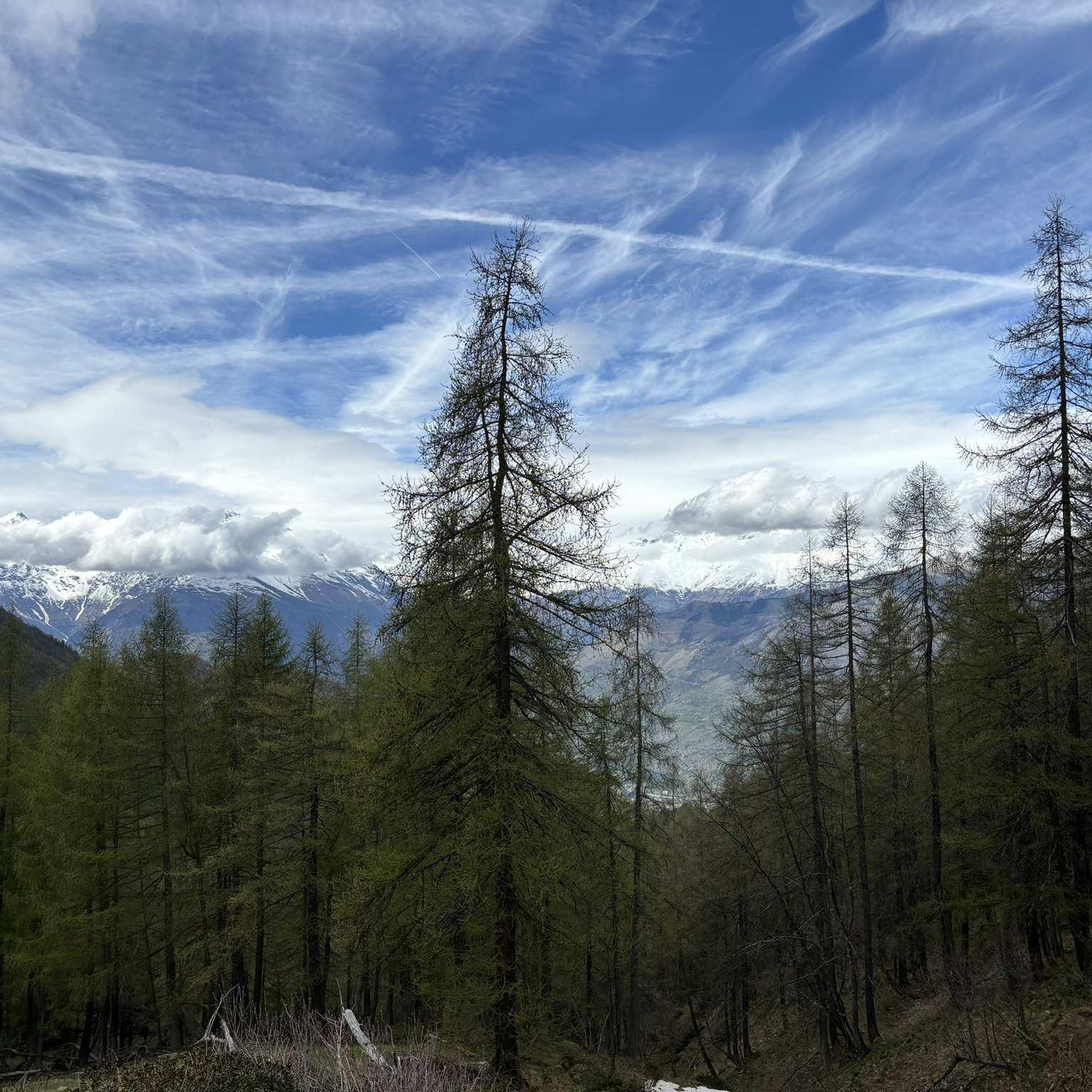
beautiful refuge in the Selleries valley
0
0

This refuge is managed and open only during the summer months. It's possible to stop for a break when climbing to the summit of Rocciamelone. It's located approximately halfway between La Riposa and Rocciamelone.
0
0

The Selleries refuge is located in the municipality of Roure (TO), in the Chisone valley, in the Cottian Alps, at 2,035 m above sea level. It can be easily reached by mountain bike from the paved road, but also on foot. The craft beers are excellent.
0
0

Massimo is one of the best and kindest refugee managers I have ever met.
1
0

Accessible from multiple directions, both on asphalt and trail. Ideal stopping point
1
0

in case of snow be careful not to lose the path
0
0
landing place for beginners, or a useful support point to break the climb in 2
0
0

Frequently Asked Questions
What kind of terrain can I expect on mountaineering routes around Mattie?
The mountaineering routes around Mattie are situated in Italy's Piedmont region, within the Susa Valley. You can expect diverse terrain characterized by the majestic Graian and Cottian Alps, featuring towering peaks, alpine lakes, and dense forests. The region also includes protected areas like the Orsiera-Rocciavrè Natural Park, offering varied landscapes from high alpine to wooded paths.
Are there any moderate mountaineering routes available in Mattie?
Yes, while many routes are challenging, there is a notable moderate option. The Jouglard bivouac – Selleries Hut loop from Grange is a moderate 10.5 km path that connects two mountain huts, offering varied alpine scenery suitable for those looking for a less strenuous but still rewarding experience.
What are some of the prominent natural features or landmarks to see while mountaineering in Mattie?
The Mattie area is rich in natural and historical landmarks. You can encounter significant summits like Rocciamelone Summit and Monte Albergian Summit. Historic mountain passes such as Colle La Rossa and Strada dell'Assietta and Colle dell'Assietta (2472 m) are also notable. Additionally, you might pass by historical sites like Fort Gran Serin or the Abbey of Novalaise.
Are there any circular mountaineering routes in the Mattie area?
Yes, several routes in Mattie are designed as loops. For instance, the challenging Rifugio Ca' d'Asti – Rocciamelone (3,538 m) loop from Rocciamelone is a popular circular option. Another loop is the Lago della Manica – Colle Superiore di Malanotte loop from Parco Naturale Orsiera-Rocciavrè, which takes you through the Orsiera-Rocciavrè Natural Park.
What is the best time of year for mountaineering in Mattie?
The best time for mountaineering in the Mattie area, particularly for higher alpine ascents, is typically during the warmer months from late spring to early autumn (June to September). During this period, snowmelt allows for better access to trails, and weather conditions are generally more stable. However, conditions can vary, so always check local forecasts before heading out.
Are there any routes that explore the Orsiera-Rocciavrè Natural Park?
Absolutely. The Lago della Manica – Colle Superiore di Malanotte loop from Parco Naturale Orsiera-Rocciavrè is a challenging 6.6 km route that leads directly through the Orsiera-Rocciavrè Natural Park, offering a chance to experience its diverse wilderness.
How long do mountaineering routes in Mattie typically take to complete?
The duration of routes in Mattie varies significantly based on difficulty and length. For example, the moderate Jouglard bivouac – Selleries Hut loop from Grange typically takes around 3 hours 28 minutes. More challenging routes like the Rifugio Ca' d'Asti – Rocciamelone (3,538 m) loop from Rocciamelone can take over 7 hours.
What do other mountaineers say about the routes in Mattie?
The mountaineering routes in Mattie are highly rated by the komoot community, with an average score of 4.75 stars from over 4 reviews. Mountaineers often praise the challenging ascents, the stunning alpine scenery, and the opportunities to explore protected wilderness areas within the Susa Valley.
Are there any longer, more challenging routes for experienced mountaineers?
Yes, for experienced mountaineers seeking a significant challenge, the Lago della Manica – Colle Superiore di Malanotte loop from Cianfulcre is a difficult 14.7 km route that involves over 1000 meters of elevation gain and typically takes around 6 hours 34 minutes to complete.
Can I find routes that offer views of prominent peaks like Rocciamelone?
Many routes in the Mattie area provide excellent views of the surrounding peaks. The Rifugio Ca' d'Asti – Rocciamelone (3,538 m) loop from Rocciamelone specifically ascends to the prominent peak of Rocciamelone itself, offering unparalleled panoramic vistas.
Are there any routes that lead to mountain huts or bivouacs?
Yes, the Jouglard bivouac – Selleries Hut loop from Grange is a great option as it connects two mountain shelters, the Jouglard bivouac and Selleries Hut, providing opportunities for rest or potentially overnight stays for multi-day trips.
Most popular attractions around Mattie

Get inspired with the komoot mobile app


Explore more
Browse the best Mountain Hikes & Routes in other regions.
