The best running trails around Meana Di Susa
4.8
(11)
793
runners
113
runs
Jogging around Meana Di Susa offers access to a varied Alpine landscape in Italy's Val di Susa, characterized by verdant terrain, dense forests, and refreshing natural springs. The region, situated at over 750 meters above sea level, provides routes with diverse elevation changes, winding through picturesque hamlets and along historic paths. Joggers can explore trails that traverse shaded woodlands and connect to mountain passes, offering both challenging ascents and panoramic views.
Best jogging routes around Meana Di Susa
- The most…
Last updated: July 1, 2026
5.0
(1)
34
runners
23.3km
05:32
2,300m
2,300m
Hard run. Very good fitness required. Sure-footedness, sturdy shoes and alpine experience required.
5.0
(1)
31
runners
12.4km
01:25
180m
180m
Moderate run. Good fitness required. Mostly paved surfaces. Suitable for all skill levels.

Sign up for free
29
runners
13.8km
01:28
130m
130m
Moderate run. Good fitness required. Mostly paved surfaces. Suitable for all skill levels.
20
runners
12.7km
01:21
130m
130m
Moderate run. Good fitness required. Mostly paved surfaces. Suitable for all skill levels.
19
runners
18.2km
03:24
1,200m
1,200m
Hard run. Very good fitness required. Sure-footedness, sturdy shoes and alpine experience required.
Get access to more routes and recommendations from other explorers.
Sign up for free
Already have an account?
Our route recommendations are based on thousands of hikes, rides, and runs completed by other people on komoot.
Start today with a free account
Your next adventure awaits.
Login or Signup
Popular around Meana Di Susa
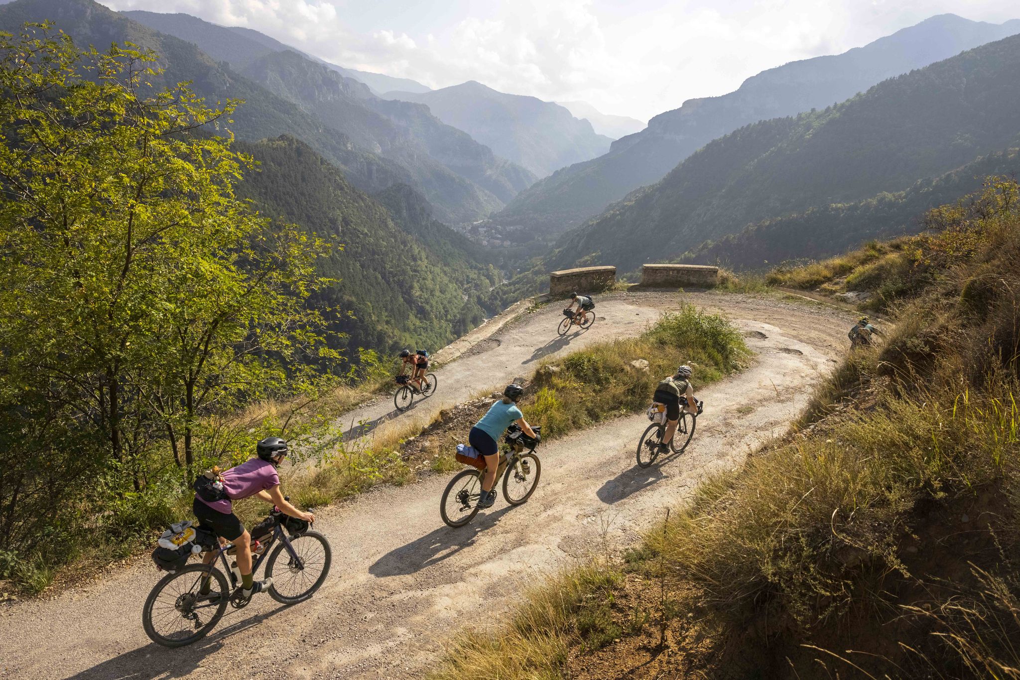
Lael's 2021 Komoot Women's Torino Nice Rally
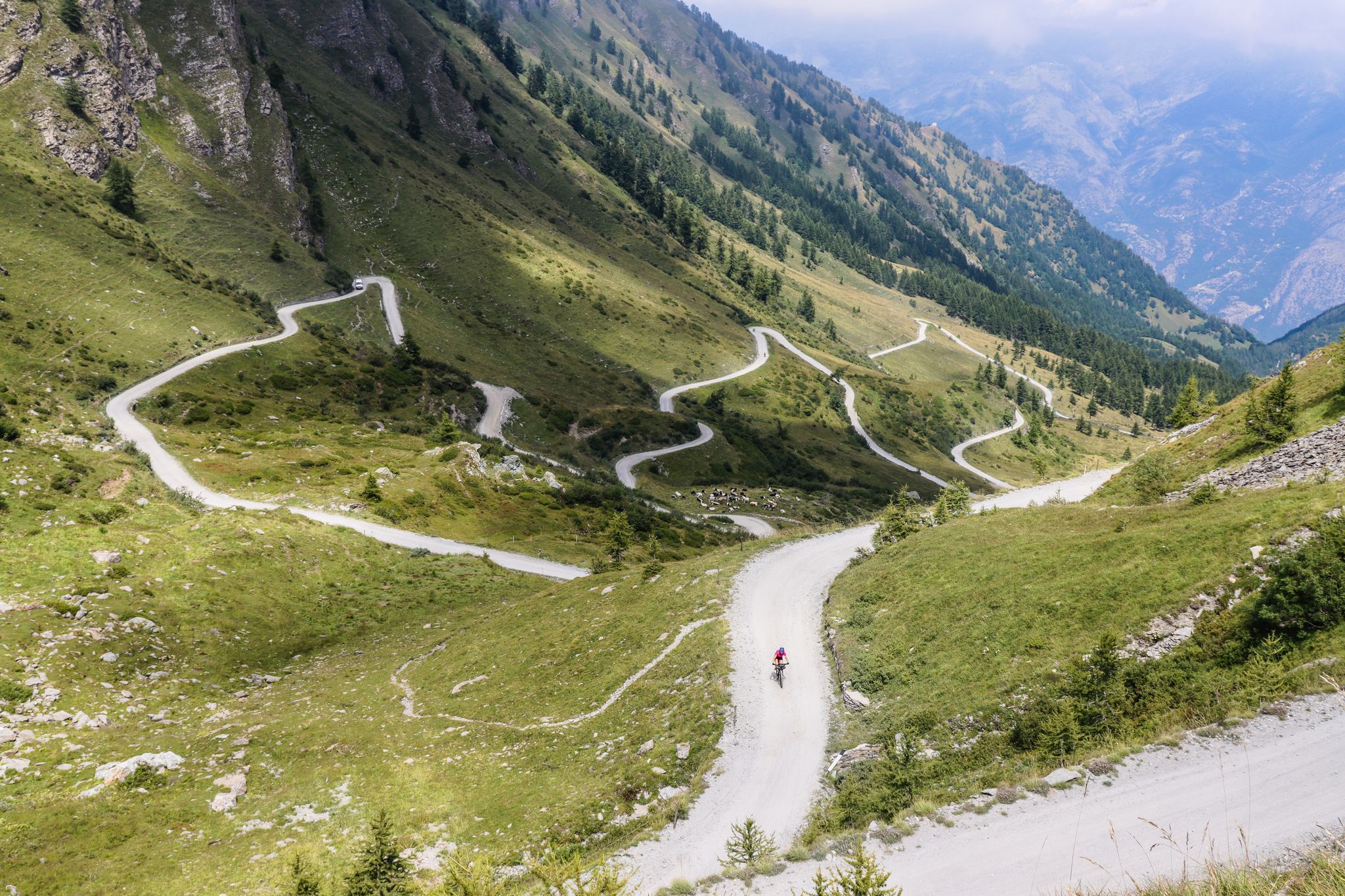
Colle del Colombardo and the Colle delle Finestre — Two of the Italian gravel giants
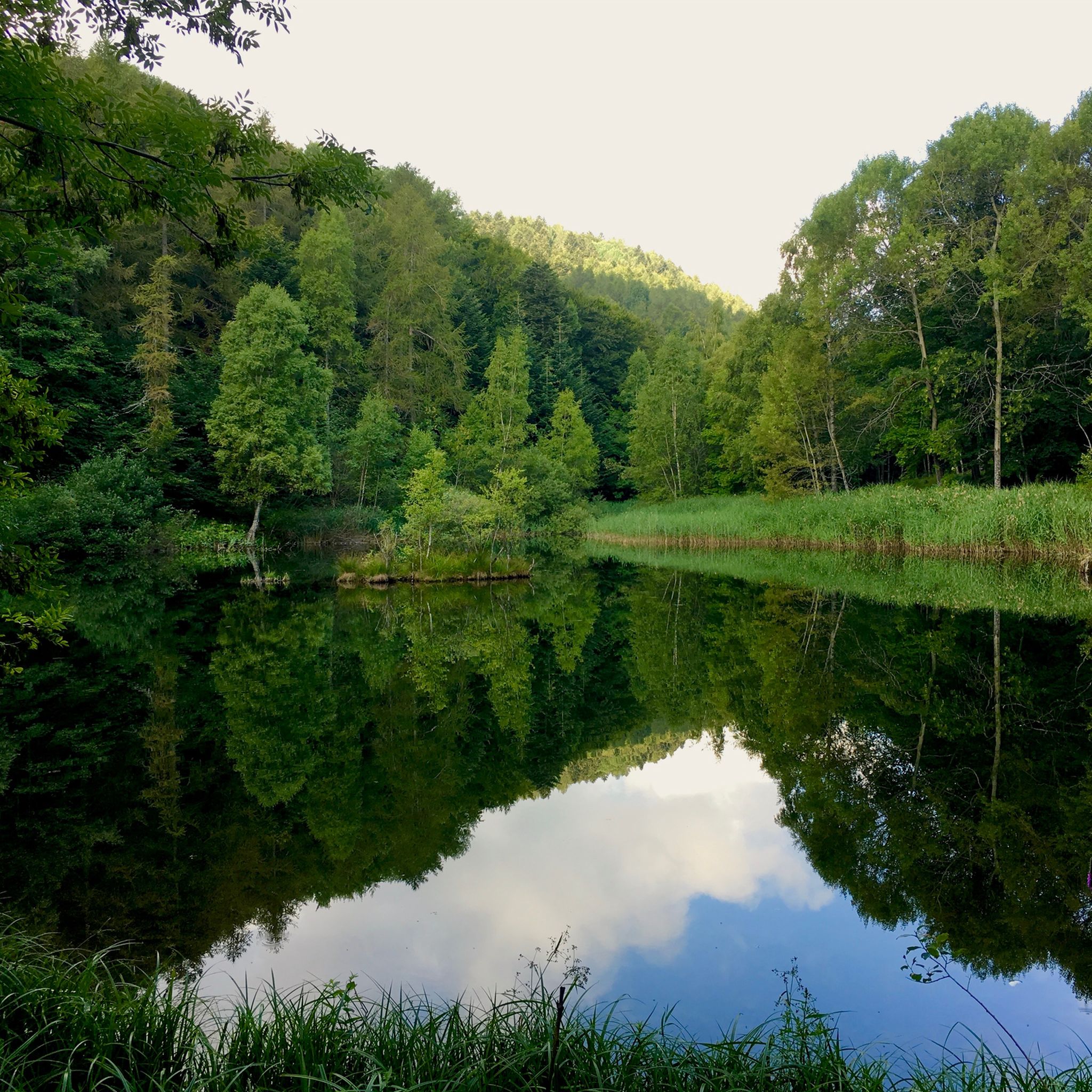
Hiking around Meana Di Susa
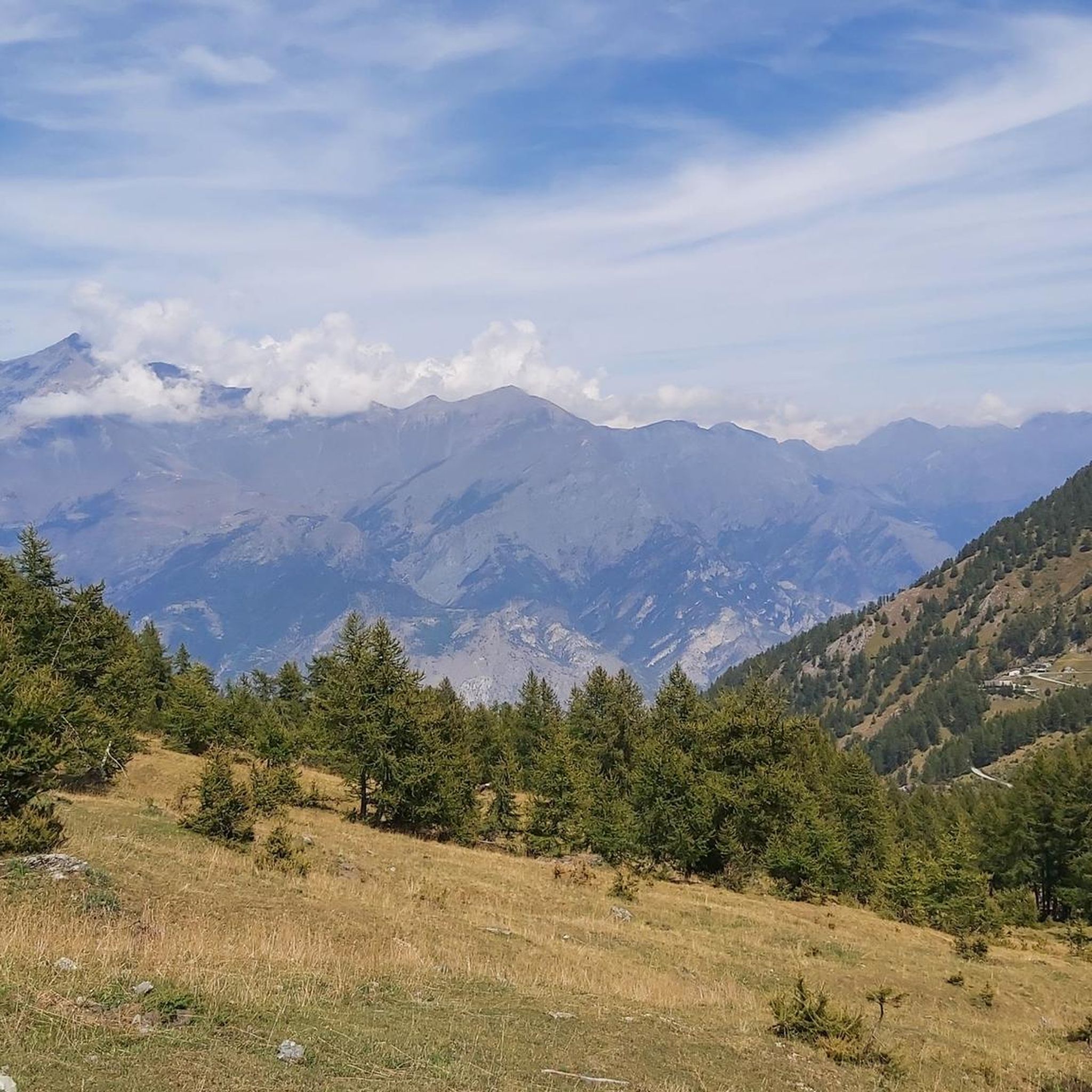
Cycling around Meana Di Susa
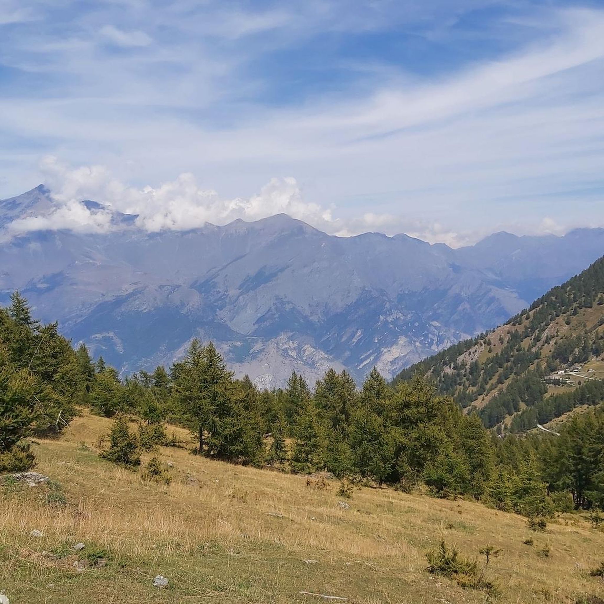
Road Cycling Routes around Meana Di Susa

Gravel biking around Meana Di Susa
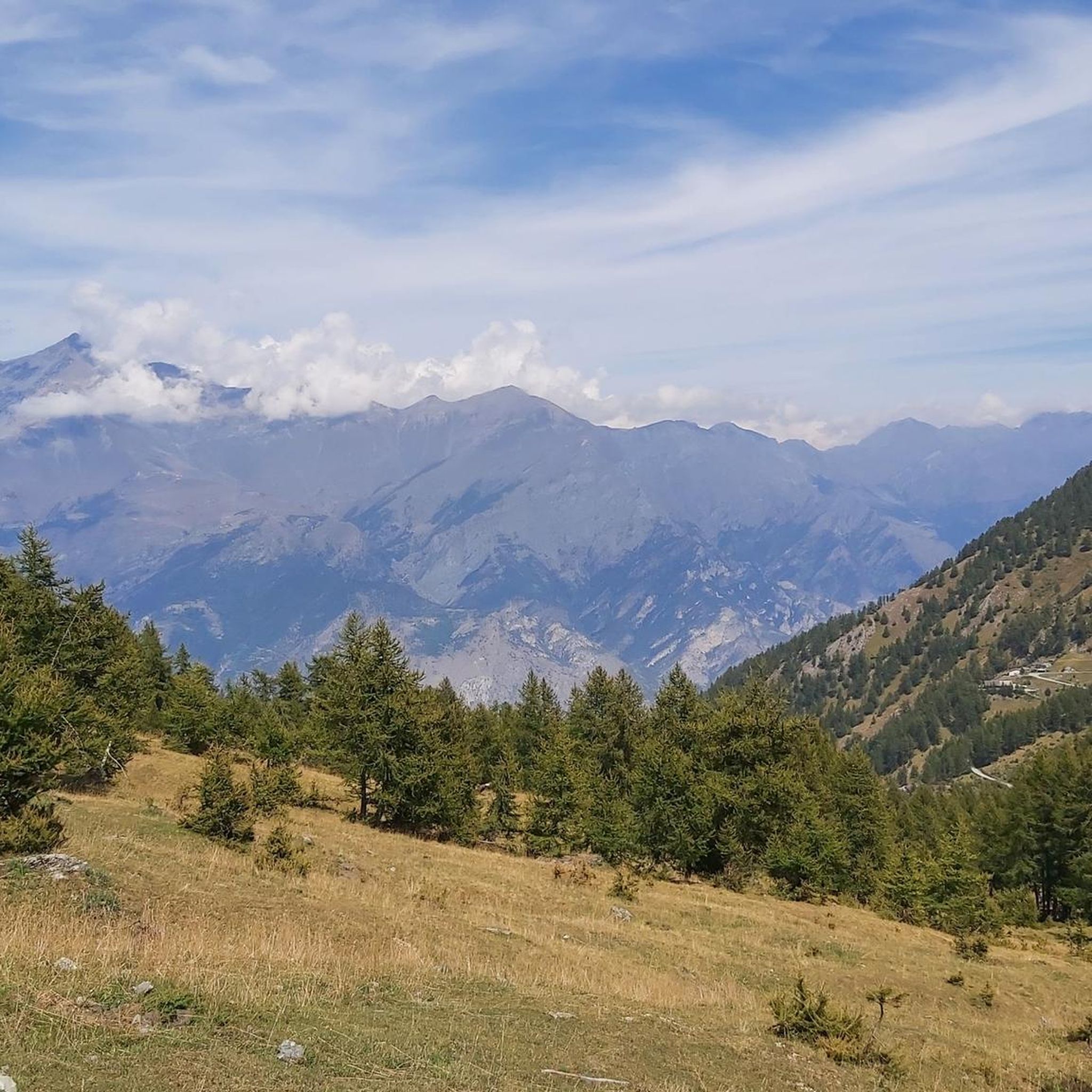
MTB Trails around Meana Di Susa

Mountain Hikes around Meana Di Susa


Tips from the Community

beautiful refuge in the Selleries valley
0
0

This refuge is managed and open only during the summer months. It's possible to stop for a break when climbing to the summit of Rocciamelone. It's located approximately halfway between La Riposa and Rocciamelone.
0
0

The Selleries refuge is located in the municipality of Roure (TO), in the Chisone valley, in the Cottian Alps, at 2,035 m above sea level. It can be easily reached by mountain bike from the paved road, but also on foot. The craft beers are excellent.
0
0

Massimo is one of the best and kindest refugee managers I have ever met.
1
0

It's a little pearl of our Piedmont Alps...
0
0

landing place for beginners, or a useful support point to break the climb in 2
0
0

Susa is a town of 6,000 inhabitants in the province of Turin. The historic center boasts many Roman remains, such as the Arch of Augustus, the Roman amphitheater, the temple of the Forum and the Roman aqueduct.
3
0

Puy is an abandoned village located above the Fort of the Valleys; the route to reach it offers breathtaking views of the valley that extends below.
0
0
Frequently Asked Questions
How many running routes are available around Meana di Susa?
Meana di Susa offers a wide selection of running routes, with over 90 trails available for exploration. These routes cater to various preferences, from moderate valley runs to challenging high-altitude ascents.
Are there running routes for all fitness levels in Meana di Susa?
Yes, the Meana di Susa area provides a diverse terrain suitable for various fitness levels. While the majority of routes are classified as difficult (over 70), there are also more than 20 moderate paths and a few easier options, ensuring there's something for everyone.
What kind of scenic views or landmarks can I expect on the running routes?
Jogging routes around Meana di Susa offer a blend of natural beauty and historical interest. You can expect to pass through verdant Alpine landscapes, dense forests, and picturesque hamlets. Many trails provide panoramic views, especially those leading to higher altitudes like the Strada dell'Assietta and Colle dell'Assietta. Historic paths like the "Sentiero dei Franchi" and "Sentiero dei Frati" also add a cultural dimension to your run.
Are there any family-friendly jogging paths in the Meana di Susa area?
While many routes in Meana di Susa involve significant elevation, there are options that are more suitable for families. Look for paths that wind through the charming hamlets or along shaded woodlands at lower altitudes, which tend to be less strenuous. The region's extensive trail network includes routes that can be tailored for a more relaxed family outing.
Can I bring my dog on the running trails near Meana di Susa?
Meana di Susa is generally very welcoming to outdoor enthusiasts and their dogs. Many trails, especially those through forests and connecting hamlets, are suitable for running with your canine companion. However, always ensure your dog is under control, and be mindful of local regulations, especially when passing through agricultural areas or near wildlife.
Are there circular running routes available in Meana di Susa?
Yes, many of the running routes in Meana di Susa are designed as loops, allowing you to start and finish at the same point. For example, the Savoia Gate, Susa – Arch of Augustus in Susa loop from Susa is a moderate 11.2 km circular path that explores historical landmarks. Other loops like the Rifugio Ca' d'Asti loop from Susa offer more challenging circular options.
What is the best time of year for running in Meana di Susa?
The best time for running in Meana di Susa is typically from late spring to early autumn (May to October). During these months, the weather is generally mild, and the trails are clear of snow, making high-altitude routes accessible. The shaded woodlands and natural springs are particularly appealing during warmer months. Winter running is possible but may require specialized gear for snow and ice, especially on higher trails.
Are there any mountain huts or refuges along the running routes for rest?
Yes, the Meana di Susa area, being part of an extensive Alpine network, features several mountain huts and refuges that can serve as welcoming stops. Notable options include the Assietta Refuge and the Amprimo Mountain Hut. These provide opportunities for rest and refreshment, especially on longer or more challenging runs.
What do other runners enjoy the most about jogging in Meana di Susa?
The running routes in Meana di Susa are highly rated by the komoot community, with an average score of 4.6 stars. Runners often praise the varied Alpine landscape, the blend of natural beauty with historical paths, and the stimulating environment with diverse elevation changes. The extensive network of trails, from shaded village paths to challenging high-altitude climbs, is also a frequently highlighted aspect.
Are there any historical running paths in the region?
Absolutely. Meana di Susa is rich in history, and several running routes follow ancient paths. The "Sentiero dei Franchi" (Path of the Franks) is historically significant, believed to be the route Charlemagne's army took. Another notable historical path is the "Sentiero dei Frati" (Path of the Friars). These routes offer a unique cultural experience alongside your workout.
Can I access running routes near Meana di Susa using public transport?
While specific public transport access points for every trail may vary, the Val di Susa region generally has public transport options connecting its towns and villages. It's advisable to check local bus schedules or train services to Susa, which is a central hub, and then plan your route from there. Some trailheads might require a short walk or a local taxi from the nearest public transport stop.
Are there running routes that offer views of the Colle delle Finestre?
Yes, the iconic Colle delle Finestre, known for its challenging ascents and panoramic views, is a significant feature of the region. While it's a classic for cycling, advanced runners seeking a strenuous workout can find routes that incorporate or offer breathtaking vistas of this mountain pass. The high-altitude excursions towards Assietta also provide unforgettable landscapes.
Most popular routes around Meana Di Susa
Most popular attractions around Meana Di Susa

Get inspired with the komoot mobile app


Explore more
Browse the best Running Trails & Routes in other regions.
