The best mountain hikes around Meana Di Susa
40
hikers
5
hikes
Mountaineering routes around Meana Di Susa are set within the dramatic Alpine landscape of the Val Susa, offering a range of challenging ascents and high-altitude excursions. The region is characterized by prominent mountain peaks, including Rocciamelone at 3538 meters, and extensive trail networks that traverse varied terrain. These routes often lead through forests, past natural springs, and into the Orsiera Rocciavrè Natural Park, providing a diverse environment for alpine exploration. The area features significant elevation gains, making it suitable for…
Last updated: July 4, 2026
12
hikers
10.4km
03:26
490m
490m
Moderate mountaineering route. Good fitness required. Easily-accessible paths. Suitable for all skill levels.
8
hikers
3.17km
01:56
270m
270m
Hard mountaineering route. Great for any fitness level. Sure-footedness, sturdy shoes and alpine experience required.

Sign up for free
7
hikers
4.38km
03:14
620m
610m
Hard mountaineering route. Good fitness required. Sure-footedness, sturdy shoes and alpine experience required.
6
hikers
14.9km
06:52
1,080m
1,080m
Hard mountaineering route. Very good fitness required. Sure-footedness, sturdy shoes and alpine experience required.
3
hikers
11.4km
05:07
800m
800m
Hard mountaineering route. Very good fitness required. Sure-footedness, sturdy shoes and alpine experience required.
Our route recommendations are based on thousands of hikes, rides, and runs completed by other people on komoot.
Start today with a free account
Your next adventure awaits.
Login or Signup
Popular around Meana Di Susa
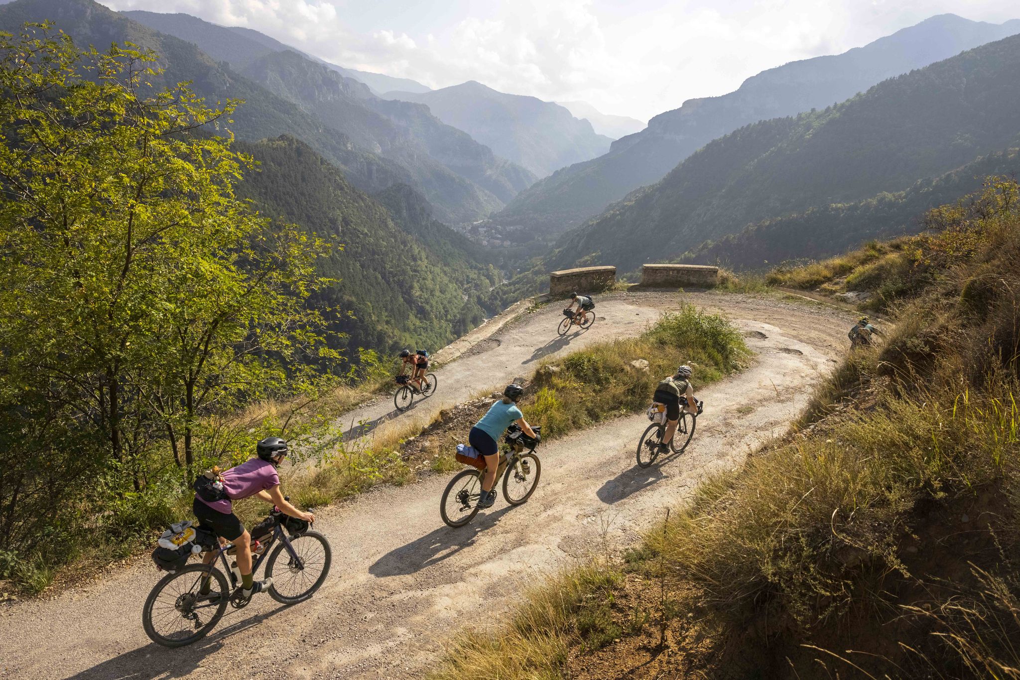
Lael's 2021 Komoot Women's Torino Nice Rally
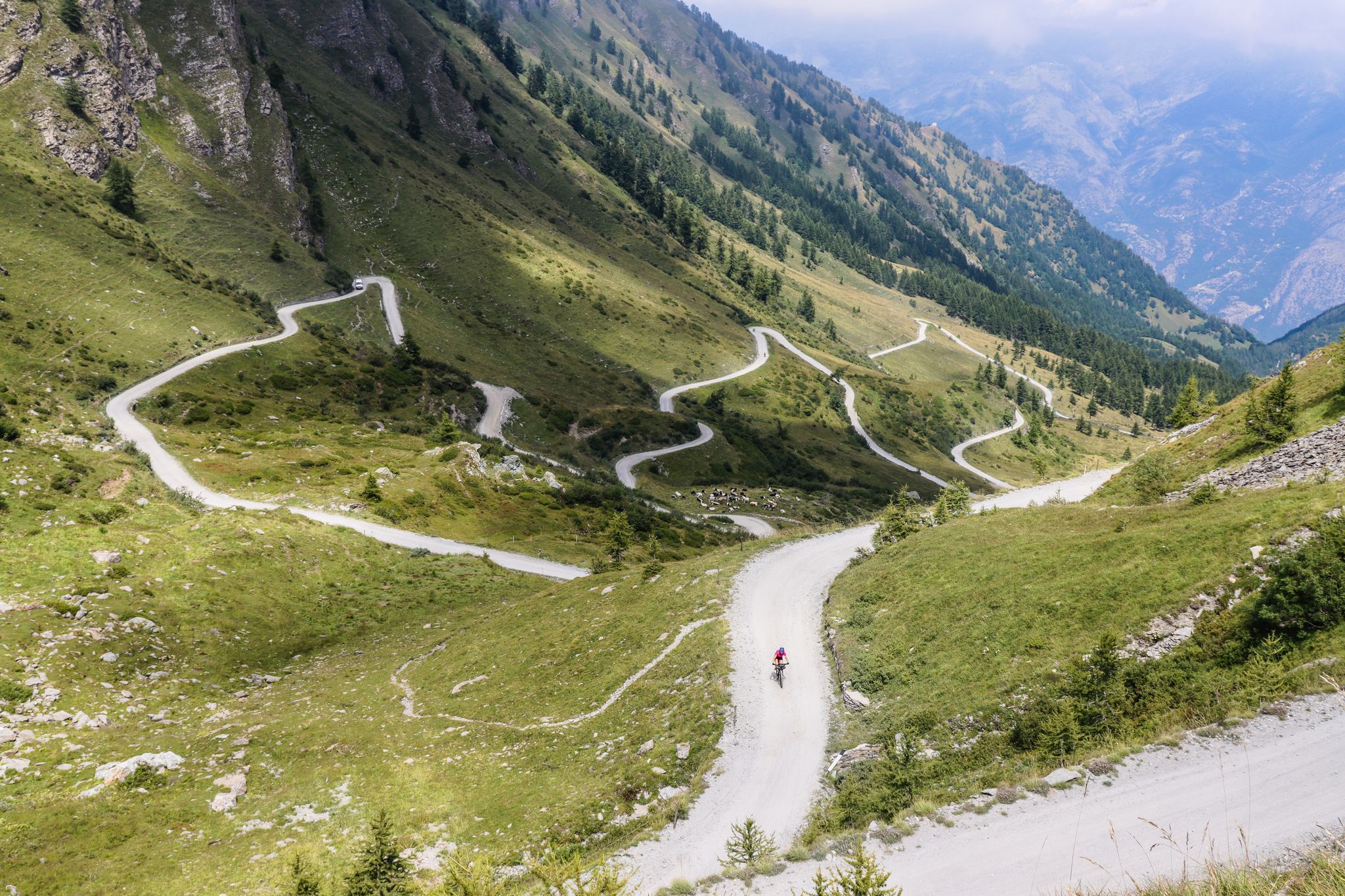
Colle del Colombardo and the Colle delle Finestre — Two of the Italian gravel giants
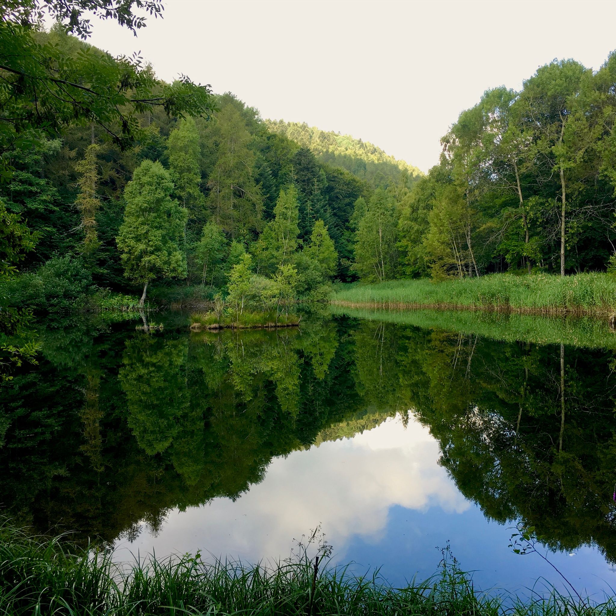
Hiking around Meana Di Susa
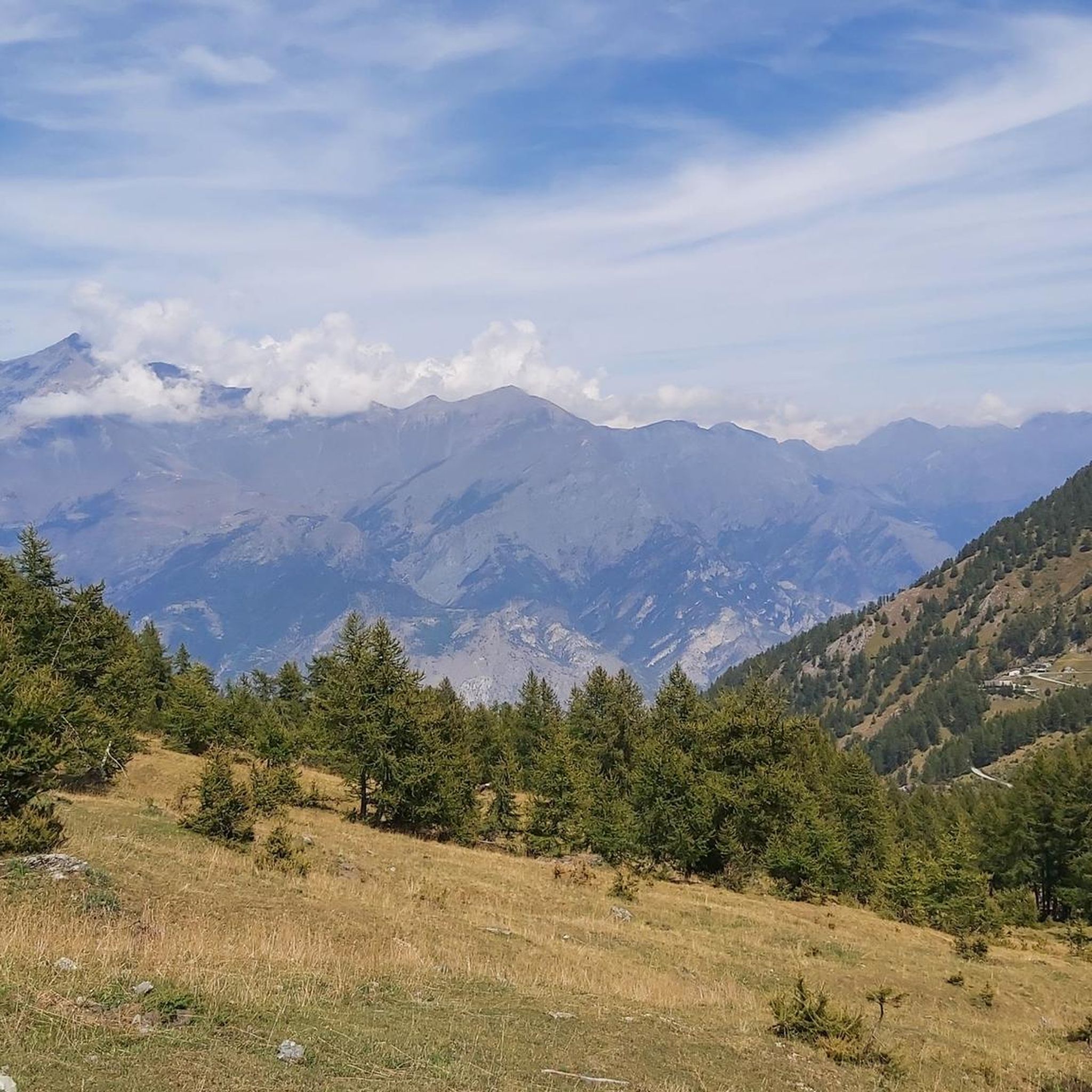
Cycling around Meana Di Susa
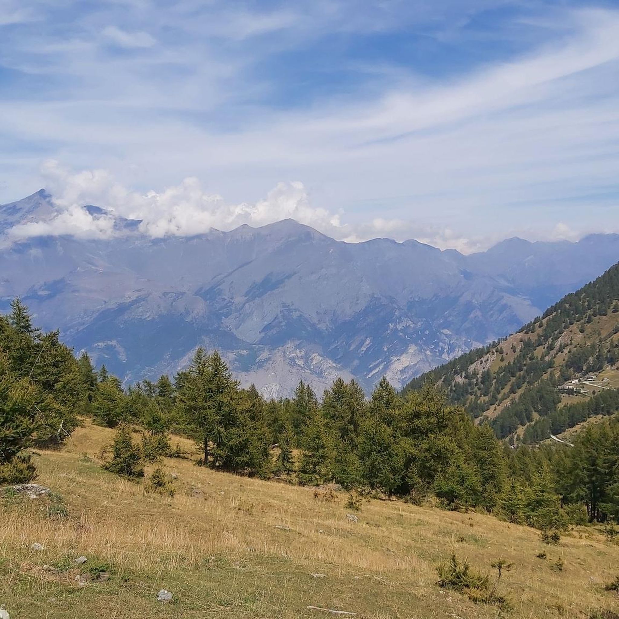
Road Cycling Routes around Meana Di Susa

Gravel biking around Meana Di Susa
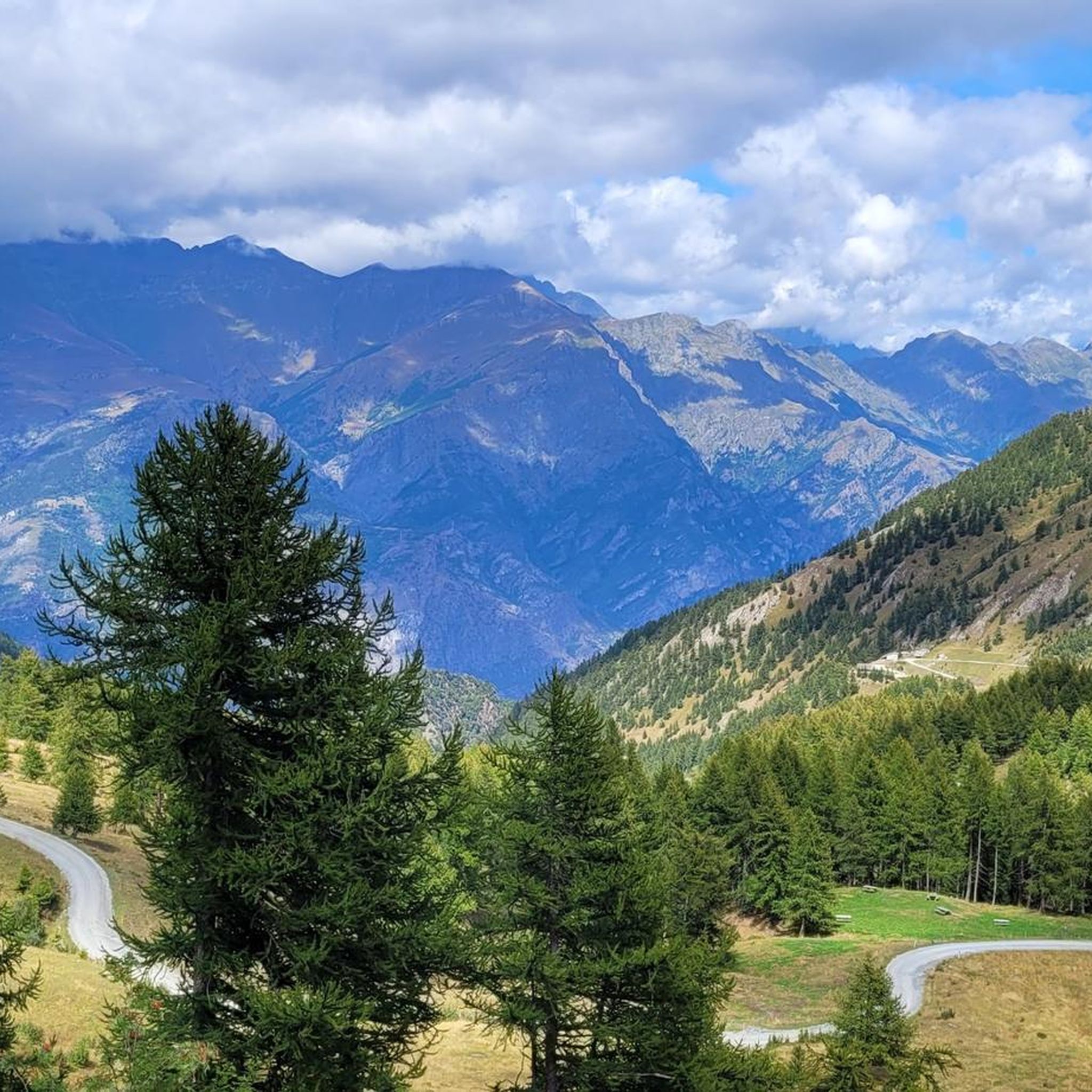
Running Trails around Meana Di Susa
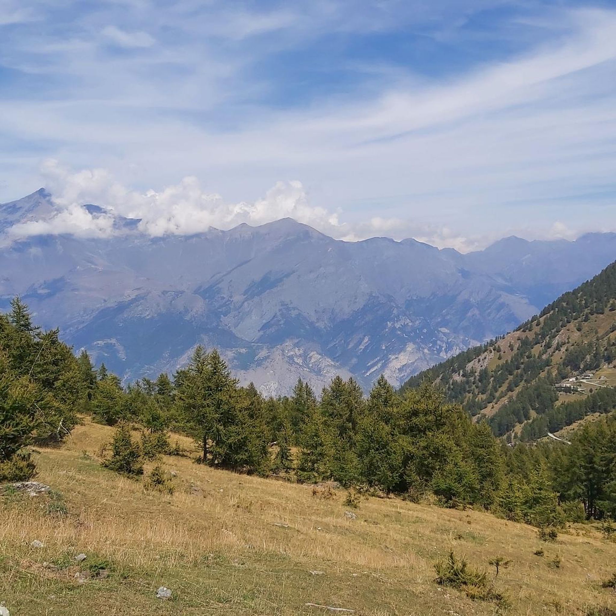
MTB Trails around Meana Di Susa


Tips from the Community

beautiful refuge in the Selleries valley
0
0

This refuge is managed and open only during the summer months. It's possible to stop for a break when climbing to the summit of Rocciamelone. It's located approximately halfway between La Riposa and Rocciamelone.
0
0

The Selleries refuge is located in the municipality of Roure (TO), in the Chisone valley, in the Cottian Alps, at 2,035 m above sea level. It can be easily reached by mountain bike from the paved road, but also on foot. The craft beers are excellent.
0
0

Massimo is one of the best and kindest refugee managers I have ever met.
1
0

in case of snow be careful not to lose the path
0
0
landing place for beginners, or a useful support point to break the climb in 2
0
0

In the Orsiera Rocciavrè park. Reachable only by paths, not all of which are ideal for MTB. The effort is rewarded by this splendid place.
1
0

The Valgravio refuge, near the Gravio stream, was built in 1928, then destroyed during the Second World War, rebuilt and expanded after the war. Today it is an essential destination for those who walk in the Orsiera-Rocciavré park. The manager, Mario Sorbino, keeps the dining room and the rooms in the best possible condition.
1
0
Frequently Asked Questions
What kind of mountaineering routes can I find around Meana Di Susa?
Meana Di Susa offers a variety of mountaineering routes, predominantly challenging ascents and high-altitude excursions within the dramatic Alpine landscape of the Val Susa. While most routes are rated difficult, there is also a moderate option available. The terrain varies, often leading through forests, past natural springs, and into the Orsiera-Rocciavrè Natural Park.
Are there any moderate mountaineering routes in the area?
Yes, for those seeking a less strenuous but still rewarding experience, consider the Jouglard bivouac – Selleries Hut loop from Grange. This moderate 10.5 km path explores the alpine environment around the Jouglard bivouac and Selleries Hut, offering a high-mountain experience without the extreme difficulty of other local routes.
What are some of the most challenging mountaineering climbs near Meana Di Susa?
The region is known for its demanding climbs. The Rifugio Ca' d'Asti – Rocciamelone (3,538 m) loop from Rocciamelone is a particularly difficult 10.8 km trail ascending to the high-altitude summit of Rocciamelone, offering breathtaking panoramic views. Another challenging option is the Via Ferrata des Cascades loop from Novalesa, which features a technical via ferrata section with cascades.
Can I find circular mountaineering routes in Meana Di Susa?
Yes, several routes are designed as loops, allowing you to start and finish at the same point. Examples include the challenging Rifugio Ca' d'Asti – Rocciamelone (3,538 m) loop from Rocciamelone and the moderate Jouglard bivouac – Selleries Hut loop from Grange. The Lago della Manica – Colle Superiore di Malanotte loop from Parco Naturale Orsiera-Rocciavrè also offers a circular option through the natural park.
Are there any notable natural attractions or landmarks along these routes?
Absolutely. Many routes traverse the Orsiera-Rocciavrè Natural Park, home to diverse wildlife and stunning alpine scenery. You might encounter significant peaks like Rocciamelone Summit. The region also features beautiful lakes such as Lake Laux and Frogs' Paradise Lake, which can be found near some of the mountaineering areas.
What is the best season for mountaineering in Meana Di Susa?
The best season for mountaineering in Meana Di Susa typically runs from late spring through early autumn (June to September) when the high-altitude trails are generally free of snow and weather conditions are more stable. However, the Susa Valley also offers opportunities for ski mountaineering and ice climbing in winter, thanks to its unique microclimate.
What kind of wildlife can I spot while mountaineering here?
The Orsiera-Rocciavrè Natural Park, which many routes pass through, is a haven for alpine wildlife. Keep an eye out for chamois, alpine ibexes, marmots, and golden eagles. The park's pristine nature provides an excellent opportunity for wildlife observation.
Are there any via ferrata routes in the Meana Di Susa area?
Yes, the Susa Valley offers several excellent via ferrata options. One notable route is the Via Ferrata des Cascades loop from Novalesa, which winds along a narrow gorge past waterfalls, providing a guided rock climbing experience suitable for those seeking a challenging and scenic adventure.
What do other mountaineers say about the routes in Meana Di Susa?
The mountaineering routes around Meana Di Susa are highly rated by the komoot community, with an average score of 4.8 stars. Mountaineers often praise the dramatic Alpine landscape, the challenging ascents, and the diverse terrain that leads through forests and into the Orsiera-Rocciavrè Natural Park.
Are there multi-day trekking opportunities in the region?
Yes, the Orsiera-Rocciavrè Natural Park features an extensive network of paths, including the 55-km "Giro dell'Orsiera," a GR footpath that connects five mountain huts. This offers excellent opportunities for multi-day trekking and mountaineering, allowing for deeper exploration of the park's vast alpine protected area.
Can I find mountain passes popular for hiking in this area?
The region is renowned for its challenging mountain passes. The Colle dell'Assietta (2,472 m), located within the Orsiera-Rocciavrè Natural Park, is particularly notable and offers a rugged mountain experience. These passes provide stunning alpine views and are popular among hikers and cyclists alike.
Most popular routes around Meana Di Susa
Most popular attractions around Meana Di Susa

Get inspired with the komoot mobile app


Explore more
Browse the best Mountain Hikes & Routes in other regions.
