Top 10 Mountain Passes around Bagnolo Piemonte
Best mountain passes around Bagnolo Piemonte are situated in a region that serves as a gateway to the Pinerolese and Monviso areas, offering diverse mountainous terrain. This area is characterized by its alpine landscapes, providing opportunities for hiking, mountain biking, and road cycling. The natural environment includes elevated viewpoints and historical routes. Bagnolo Piemonte's surroundings feature significant natural attractions and challenging routes for outdoor enthusiasts.
Best mountain passes around Bagnolo Piemonte
- The most popular mountain pass is Pian della Regina…
Last updated: October 13, 2026
Pian della Regina Plateau
Highlight • Trail
Translated by Google •
Tip by

Tunnel de la Traversette (Buco di Viso)
Highlight (Segment) • Monument
Translated by Google •
Tip by

Sign up now to discover places like this
Get recommendations on the best single tracks, peaks, & plenty of other exciting outdoor places.
Vallanta Pass
Highlight • Mountain Pass
Translated by Google •
Tip by
Rucas
Highlight • Mountain Pass
Translated by Google •
Tip by

Traversette Pass
Highlight • Mountain Pass
Showing Translation
Tip by

Sign up for free to discover even more mountain passes around Bagnolo Piemonte.
Already have an account?
Start today with a free account
Your next adventure awaits.
Popular around Bagnolo Piemonte
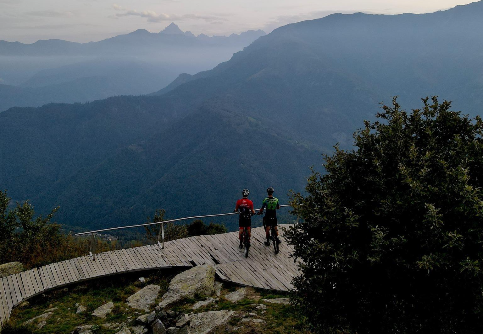
The great climbs of the Pinerolese – Pinerolese Land of Bikes
Hiking around Bagnolo Piemonte
MTB Trails around Bagnolo Piemonte
Road Cycling Routes around Bagnolo Piemonte
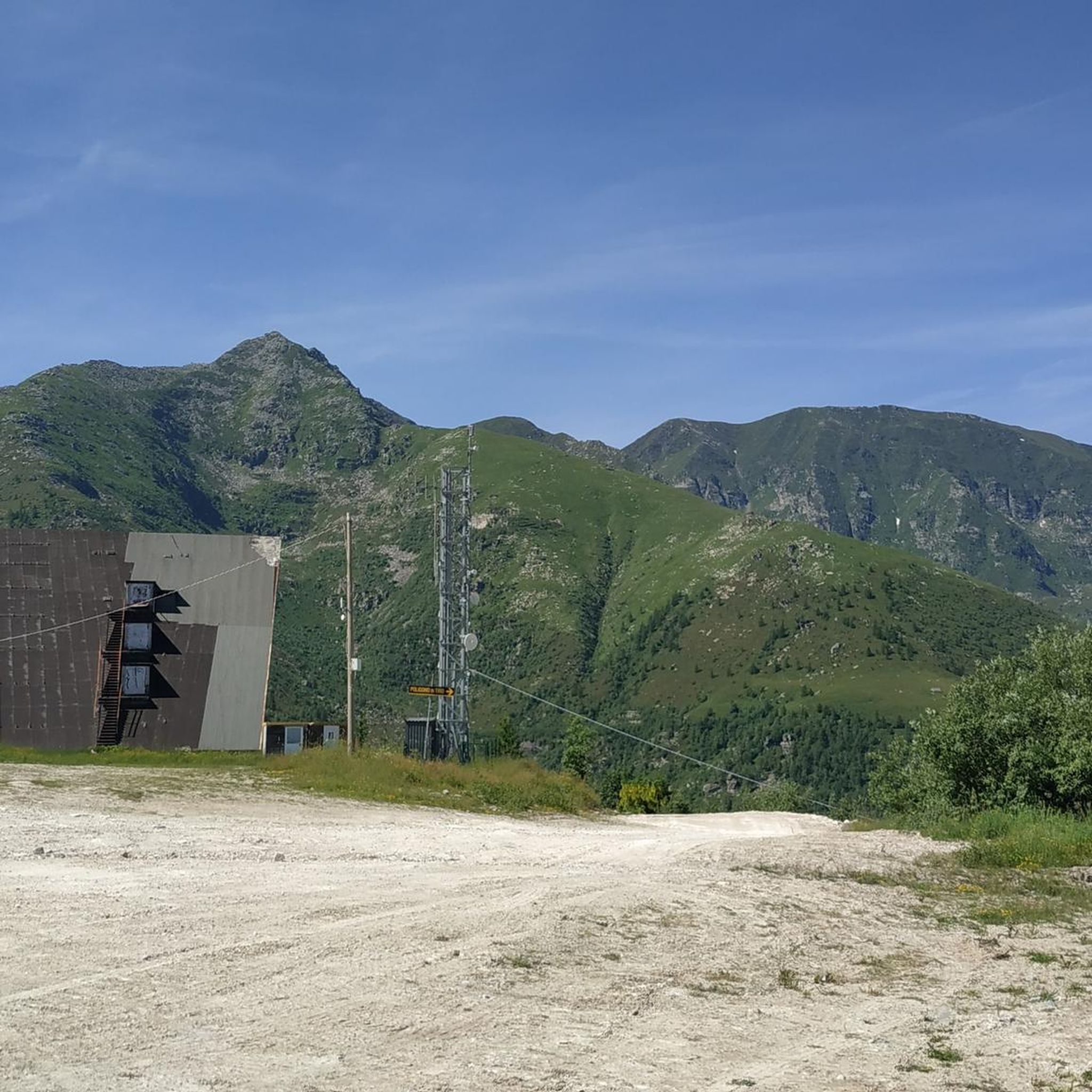
Cycling around Bagnolo Piemonte
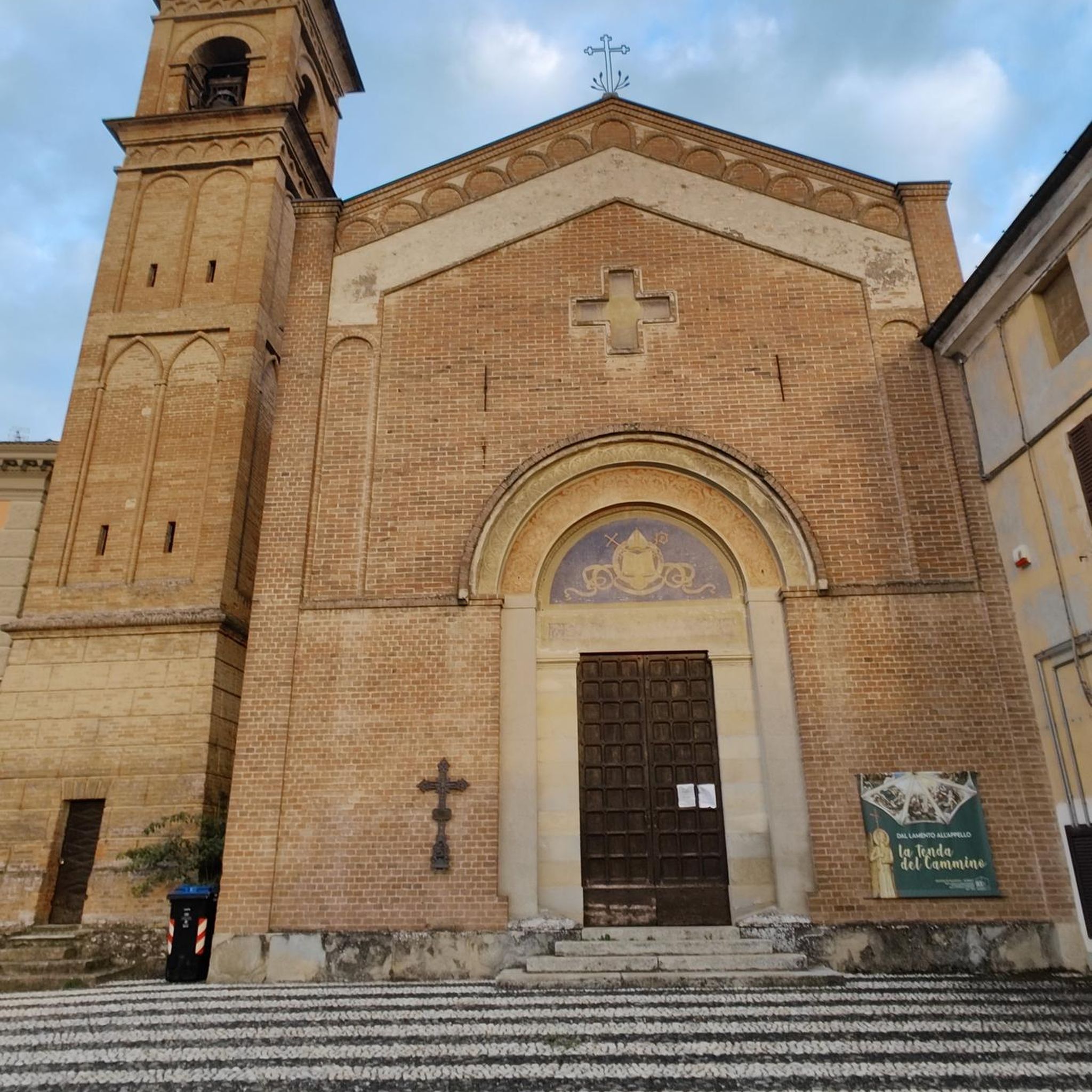
Gravel biking around Bagnolo Piemonte
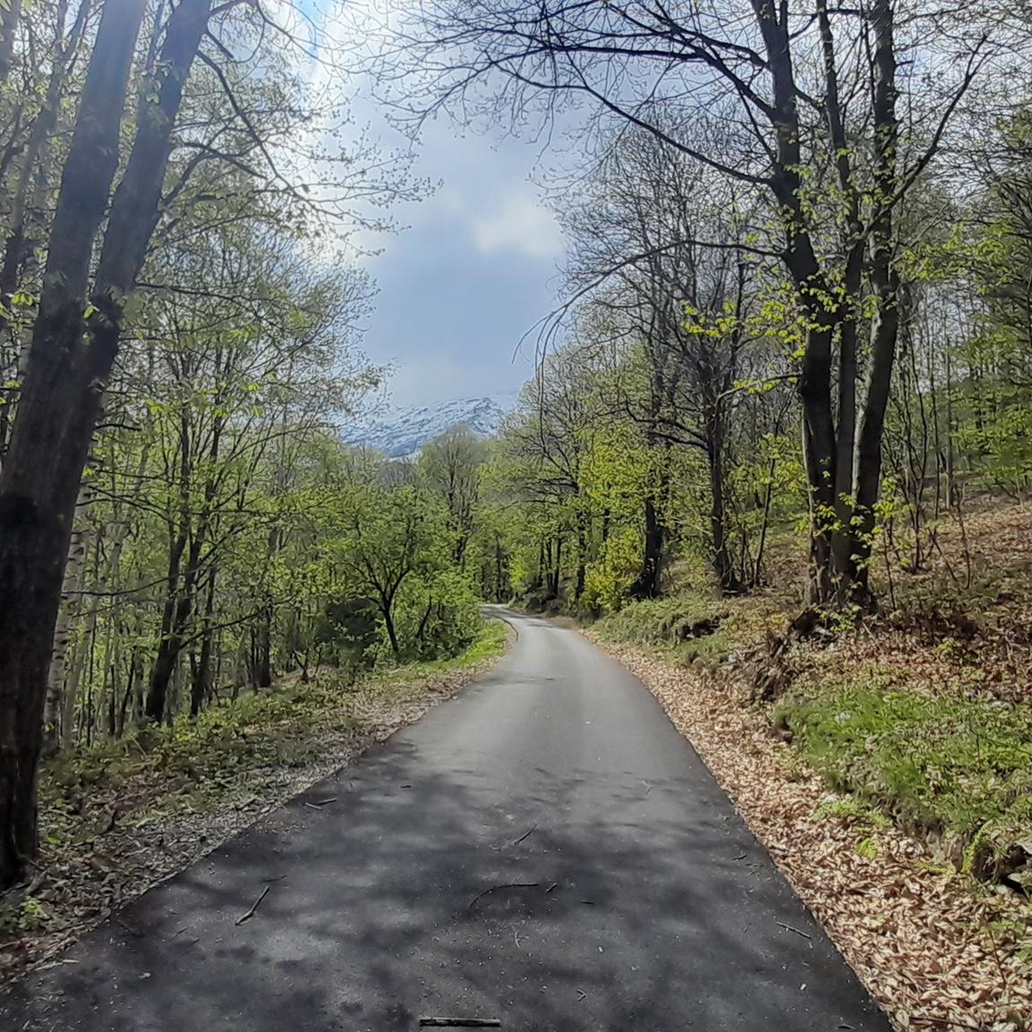
Running Trails around Bagnolo Piemonte
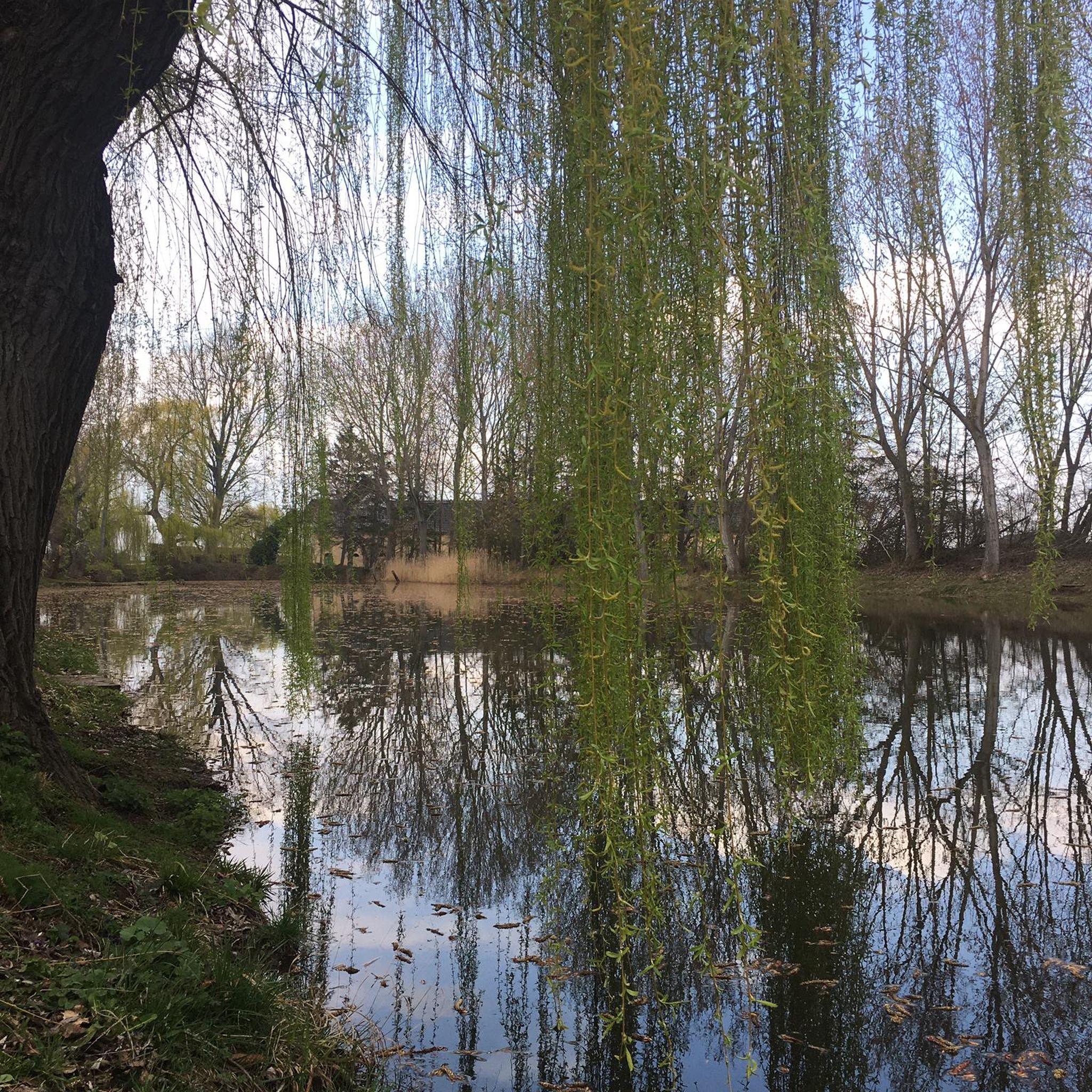
Mountain Hikes around Bagnolo Piemonte
Other adventures around Bagnolo Piemonte

Tips from the Community

Spectacular pass that allows passage from the Guil Valley to the Po Valley; the ascent from France is not particularly difficult from a technical point of view, while the descent into Italy requires great attention as the first section takes place on steep scree. On clear days, from the summit of the pass, it is possible to admire a panorama that reaches as far as Gran Paradiso. This pass, according to the most recent reconstructions, is said to have been crossed by Hannibal with his elephants on the descent towards Rome.
2
0

If you plan to cross the pass as part of an Alpine cross-country bike ride, it's essential to lift and carry your bike over large boulders and rocks. Simply pushing isn't enough. The exit is very steep. An alternative route would be via the Col Agnel road.
0
0

Beautiful hill reachable from Buco di Viso (about 10-15 minutes) with a view of Monviso and France. I recommend the ascent from the Italian side, more exposed and steep, and the descent from the French side, returning to Italy through the tunnel.
1
0

Done in two days it remains less demanding with an overnight stay at the Vallanta refuge
0
0

Iconic point of passage to go up to Pian del Re, ideal for a stop with refreshment in the extraordinary Alpine scenery of Monviso.
0
0

At this point you are almost at the top. Take a picture and then make the last stretch of climb.
13
0

Be attentive, the ibexes are present and if you are lucky you will even be able to witness a fight of large males who stand on their hindquarters before throwing themselves at their opponent, the sound of the horns hitting each other is impressive.
0
0

Beautiful walk from Pian della Regina to the sources of the Po. I recommend it to families with children. Once you arrive at the Springs there is the Rifugio del Pian del Re and a large space where you can spend a few hours having a picnic
1
0
Frequently Asked Questions
What are some of the most popular mountain passes and viewpoints around Bagnolo Piemonte?
Visitors frequently enjoy the Pian della Regina Plateau, which offers unique views of Monviso and is accessible via an asphalt road. Another popular spot is Rucas, a natural terrace providing panoramic views of the Po Valley and the Cottian Alps.
Are there any historical or cultural landmarks among the mountain passes?
Yes, the Tunnel de la Traversette (Buco di Viso) is a significant historical site. Completed in the 15th century, this 75-meter tunnel was the first Alpine tunnel, dug at over 2,800 meters above sea level to facilitate trade. It's a remarkable example of early civil and Alpine engineering.
What kind of outdoor activities can I do near these mountain passes?
The region around Bagnolo Piemonte is excellent for various outdoor activities. You can find numerous options for road cycling, mountain biking, and hiking. For detailed routes, explore the Road Cycling Routes around Bagnolo Piemonte, MTB Trails around Bagnolo Piemonte, and Mountain Hikes around Bagnolo Piemonte guides.
Are there challenging mountain passes for experienced hikers or cyclists?
Absolutely. For those seeking a challenge, the Vallanta Pass is a demanding mountain pass marking the border between Italy and France, offering views of Monviso's northwest face. Another challenging option is Col Sellière, also on the Franco-Italian border, known for its magnificent views at 2,834 meters above sea level.
What is the best time of year to visit the mountain passes around Bagnolo Piemonte?
The best time to visit is generally from late spring through early autumn (May to October) when the weather is most favorable for outdoor activities. Some higher passes, like Col Sellière, can have snow on the Italian side until early July, so check conditions before planning a trip to higher elevations.
Are there family-friendly options for exploring the mountain passes?
Yes, the Pian della Regina Plateau is considered family-friendly, offering an accessible asphalt road and beautiful views towards the Monviso area. It's a great spot for a leisurely visit with the family.
Where can I find routes that incorporate the Montoso climb?
The Montoso climb, known from the Giro d'Italia, is a challenging ascent for cyclists. You can find routes that include this climb, such as the 'Barge–Bricherasio Cycle Path – Montoso loop from Barge', within the Road Cycling Routes around Bagnolo Piemonte guide.
What natural features can I expect to see in the Monviso area near Bagnolo Piemonte?
The Monviso area, a UNESCO heritage site, is renowned for its stunning alpine scenery. You'll encounter the distinctive pyramidal shape of Monviso, the highest mountain in the Cottian Alps, and the source of the Po River at its foot. The area offers breathtaking vistas and diverse natural landscapes.
Are there opportunities for mountain biking that explore the region's history?
Yes, routes near Bagnolo Piemonte, such as those around the stone quarries of Luserna, offer scenic gravel and mountain biking experiences. These trails provide panoramic views and connect visitors to the region's historical quarrying industry, offering a blend of nature and cultural heritage.
What are the typical terrain characteristics of trails around Bagnolo Piemonte's mountain passes?
The terrain varies significantly. You'll find asphalt roads leading to accessible viewpoints like Pian della Regina, challenging climbs with hairpin bends such as the Montoso climb, and dirt roads suitable for gravel and mountain biking, particularly around areas like Rucas and the Luserna stone quarries. Higher passes often feature rocky paths.
Is parking available at the mountain passes?
Yes, for some of the more accessible mountain passes and viewpoints, such as the Pian della Regina Plateau, parking facilities are available, making it easier to start your exploration.
What is the elevation of the mountain passes in this region?
The elevations vary widely, from natural terraces around 1,560 meters like Rucas, to high-altitude passes exceeding 2,800 meters, such as the Tunnel de la Traversette (Buco di Viso) at 2,882 meters, Col Sellière at 2,834 meters, and Vallanta Pass at 2,811 meters.
Most popular routes around Bagnolo Piemonte
Most popular attractions around Bagnolo Piemonte

Get inspired with the komoot mobile app


Explore more
See even more epic mountain passes by checking out these guides around Bagnolo Piemonte:
