The best road cycling routes around Pancalieri
4.4
(152)
2,695
riders
102
rides
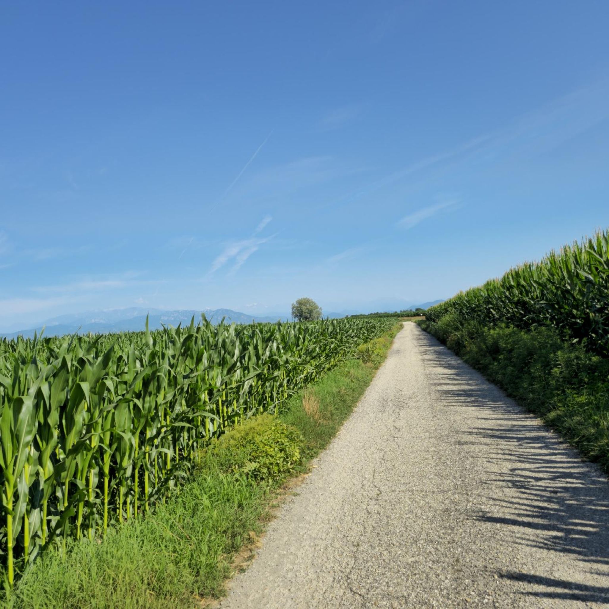
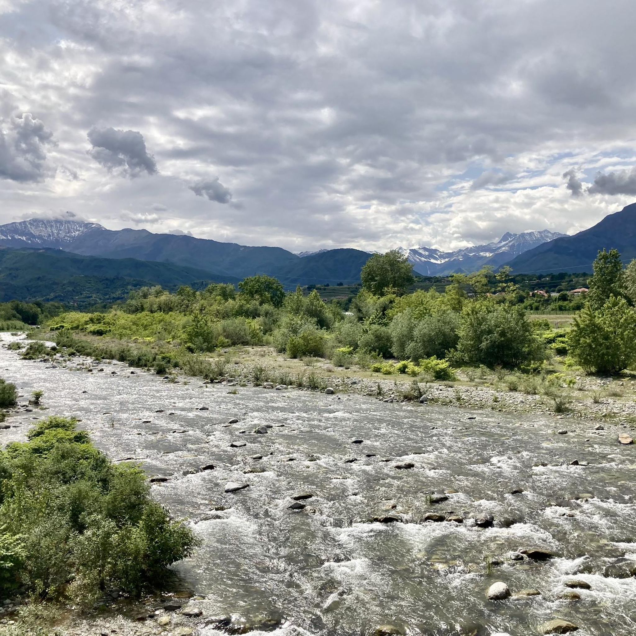
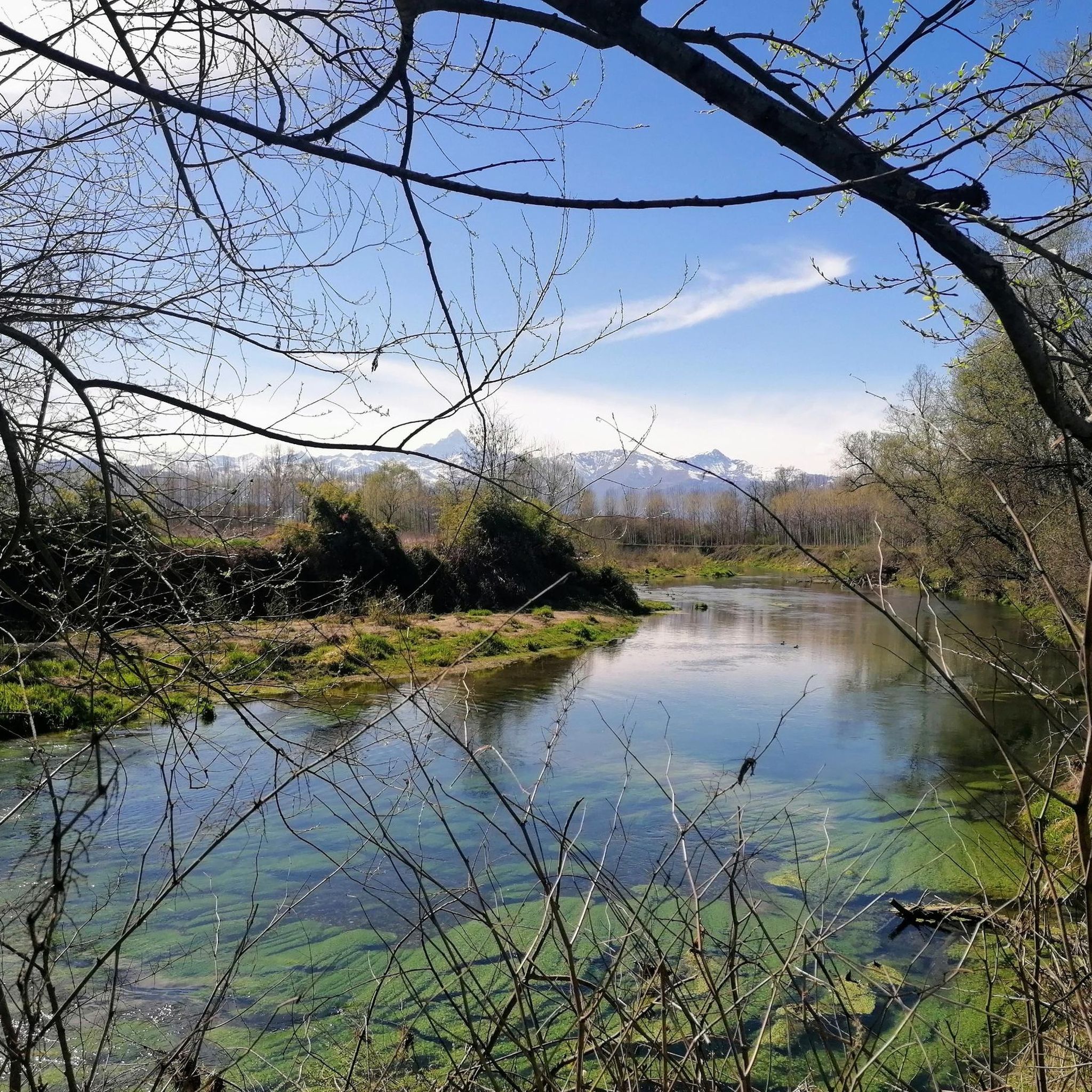
Road cycling routes around Pancalieri are primarily characterized by flat to gently rolling terrain, typical of the Piedmont region's plains. The landscape features agricultural fields, scattered villages, and riverine environments, with minimal elevation changes. This area offers a network of paved roads suitable for road bikes, providing accessible cycling for various skill levels.
Best road cycling routes around Pancalieri
- The most popular road cycling route is Borgonuovo Mill loop from Pancalieri, a 25.6 miles (41.2 km) trail that takes…
Last updated: November 1, 2026
29
riders
41.4km
01:34
40m
40m
Easy road ride. Mostly well-paved surfaces and easy to ride.
20
riders
25.3km
00:58
30m
30m
Easy road ride. Mostly well-paved surfaces and easy to ride.

4.4
(18)
13
riders
29.5km
01:08
40m
40m
Easy road ride. Mostly well-paved surfaces and easy to ride.
4.0
(1)
12
riders
Moderate road ride. Some segments of this route may be unpaved and difficult to ride.
5.0
(1)
15
riders
53.9km
02:04
70m
70m
Moderate road ride. Good fitness required. Mostly well-paved surfaces and easy to ride.
Get access to more routes and recommendations from other explorers.
Already have an account?
Our route recommendations are based on thousands of hikes, rides, and runs completed by other people on komoot.
Start today with a free account
Your next adventure awaits.

Tips from the Community

Fabulous storks, at the same time their creation seems to slide 😱 into the void. SPECTACULAR 😵💫
0
0

Just at the exit of the Airasca-Moretta cycle path, a perfect place for a prolonged stop, in the shade and with water available, immersed in the quiet.
0
0
Beautiful mural, from the cat to the shadows of the leaves 🌿absolutely a must see ☝️
0
0

Beautiful mill just "for advertising" next to the main road. Very easy to see. Worth stopping and admiring calmly.
0
0

The Sanctuary of the Blessed Virgin of the Pilone originates from an extraordinary event: according to the chronicles, on July 23, 1684, a votive pillar dedicated to the Madonna began to mysteriously swing for several days, attracting crowds of faithful. On August 7, the first mass was celebrated under a tent, followed by the construction of a chapel to protect the Pilone. However, the influx of pilgrims made a larger building necessary: thus the current sanctuary was born, designed by the architect Gian Francesco Baroncelli, with a three-nave structure that still today houses the original chapel.
1
0
On the old railway (now cycle path) Airasca-Moretta, the former railway toll booth of Vigone has been revisited in a modern key to welcome cycle tourists in the small town with an enviable look. Restyling performed by the artist Coco Cano.
1
0

It is located on the road between Piobesi Torinese and Castagnole Piemonte
0
0

Place of worship and prayer Via Po, 1, 12033 Moretta CN 017294148
1
1
Frequently Asked Questions
How many road cycling routes are available around Pancalieri?
There are over 110 road cycling routes around Pancalieri listed on komoot, offering a wide range of options for cyclists. These include 44 easy routes, 61 moderate routes, and 8 more challenging options.
What is the typical terrain and difficulty level for road cycling in Pancalieri?
Road cycling routes in Pancalieri are primarily characterized by flat to gently rolling terrain, typical of the Piedmont region's plains. The landscape features agricultural fields, scattered villages, and riverine environments with minimal elevation changes. This makes the area suitable for various skill levels, with many easy and moderate routes available.
Are there family-friendly road cycling routes in Pancalieri?
Yes, Pancalieri offers several easy routes suitable for families. The generally flat terrain and well-paved roads make it accessible for riders of different ages and abilities. For example, the Castello Monastero loop from Lombriasco is an easy 15.7-mile (25.3 km) path that offers pleasant views of the local countryside.
Can I find circular road cycling routes around Pancalieri?
Many of the road cycling routes in Pancalieri are designed as loops, allowing you to start and end in the same location. A popular option is the Borgonuovo Mill loop from Pancalieri, an easy 25.6-mile (41.2 km) trail with minimal elevation gain.
What kind of landmarks or points of interest can I see along the road cycling routes?
While cycling around Pancalieri, you can encounter various points of interest. Notable attractions include the Racconigi Royal Castle and the Sanctuary of the Blessed Virgin of the Pilone. The region also features historical sites like the Historic Center of Cavallerleone.
Are there any natural attractions to explore while road cycling in Pancalieri?
Yes, the area around Pancalieri offers several natural attractions. You can visit the Bosco del Merlino, the Lanca di San Michele and Bosco del Gerbasso Nature Reserve, or the Fontanile Ulè Spring. The Racconigi Stork Center is also a unique natural monument in the vicinity.
What is the best time of year for road cycling in Pancalieri?
The best time for road cycling in Pancalieri is generally during the spring (April to June) and autumn (September to October) months. During these periods, the weather is typically mild and pleasant, making for comfortable riding conditions. Summers can be warm, while winters may bring colder temperatures and occasional fog.
Where can cyclists find parking or access routes via public transport in Pancalieri?
Pancalieri and its surrounding towns offer various parking options, particularly in village centers, which serve as convenient starting points for many routes. While specific public transport links directly to trailheads may be limited, regional bus services connect Pancalieri to larger towns, from where cycling routes can be accessed. It's advisable to check local transport schedules for the most current information.
What do other road cyclists enjoy the most about road cycling in Pancalieri?
The road cycling routes in Pancalieri are highly rated by the komoot community, with an average score of 4.6 stars from over 120 reviews. Cyclists often praise the quiet, well-paved roads, the serene agricultural landscapes, and the accessibility of routes for all skill levels. The minimal elevation gain is frequently highlighted as a positive aspect for relaxed and enjoyable rides.
Are there any specific cycle paths or dedicated cycling infrastructure in the area?
Yes, the region includes dedicated cycling infrastructure such as the Airasca-Moretta Cycle Path in Villafranca Piemonte and the broader Airasca–Moretta Cycle Path. These paths provide safe and enjoyable options for exploring the area away from vehicle traffic.
Are there any moderate or more challenging road cycling routes available?
While Pancalieri is known for its flat terrain, there are routes that offer a bit more distance and can be considered moderate. For example, the Old Scalenghe Station – Borgonuovo Mill loop from Lombriasco is a 26.7-mile (42.9 km) moderate trail that leads through agricultural areas and small towns, providing a longer ride without significant climbs.
Most popular routes around Pancalieri
Most popular attractions around Pancalieri

Get inspired with the komoot mobile app


Explore more
Browse the best Road cycling routes in other regions.
