The best walks and hikes around Giaveno
4.3
(776)
3,679
hikers
123
hikes
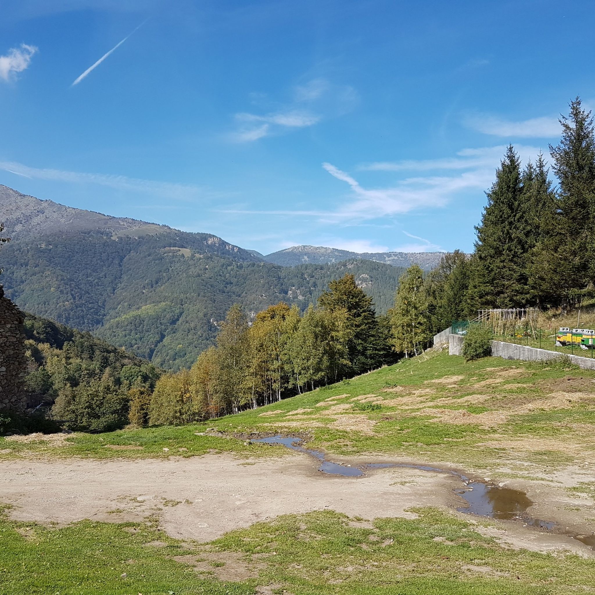
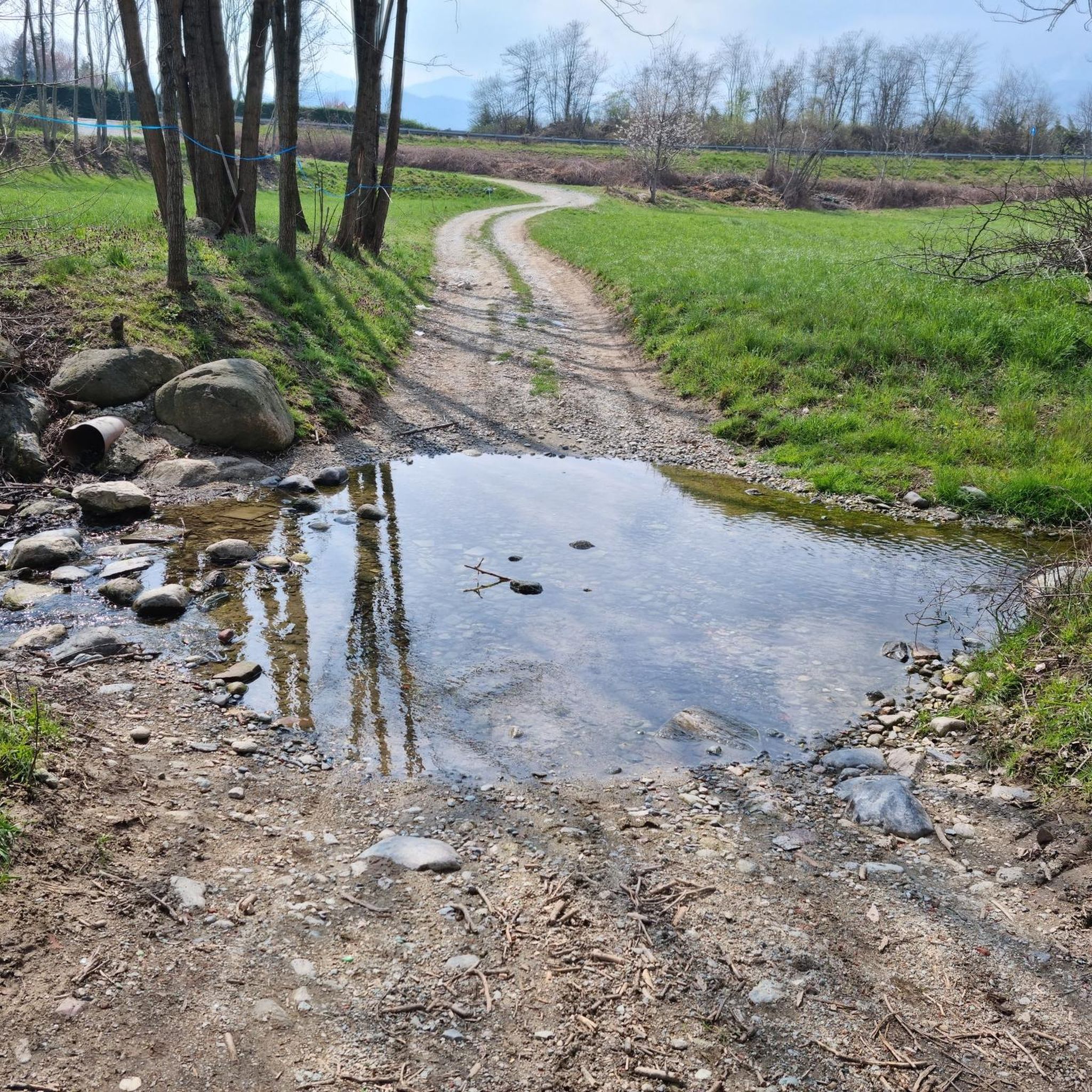
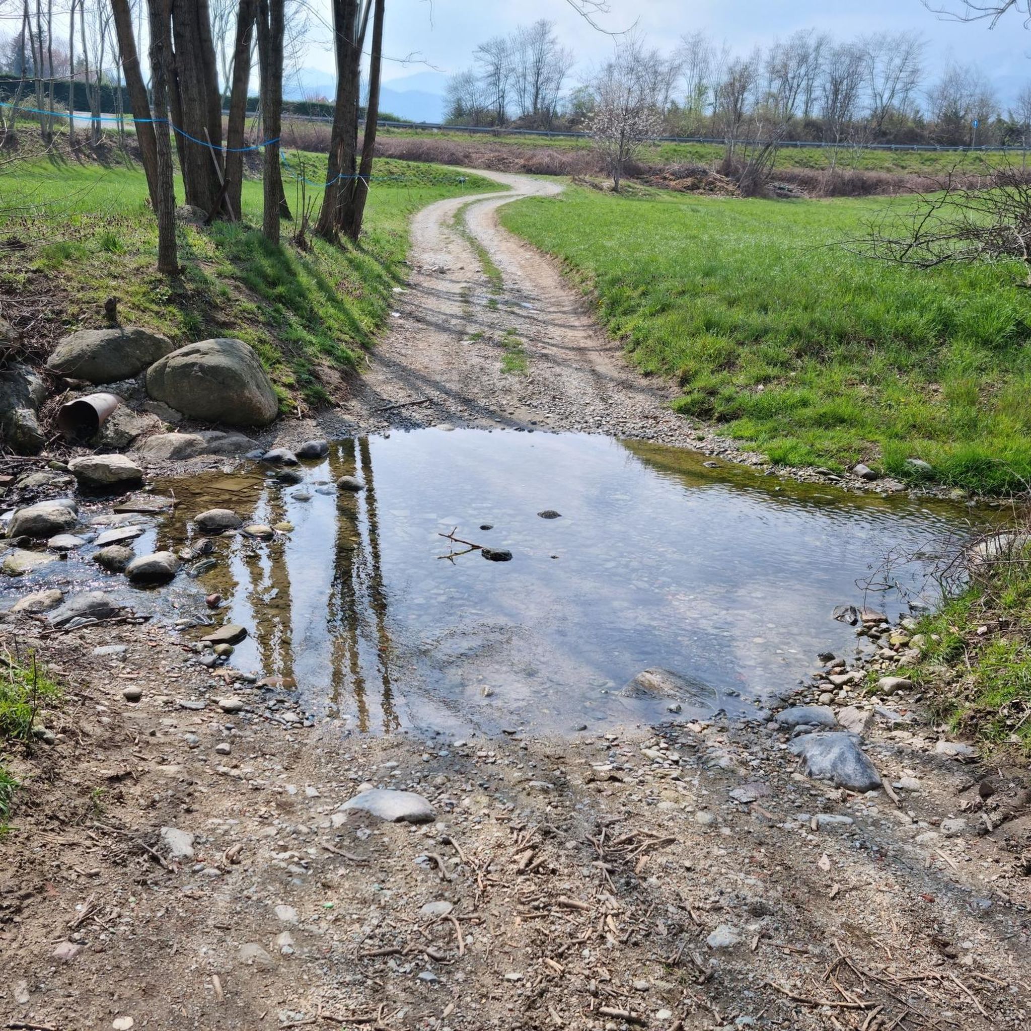
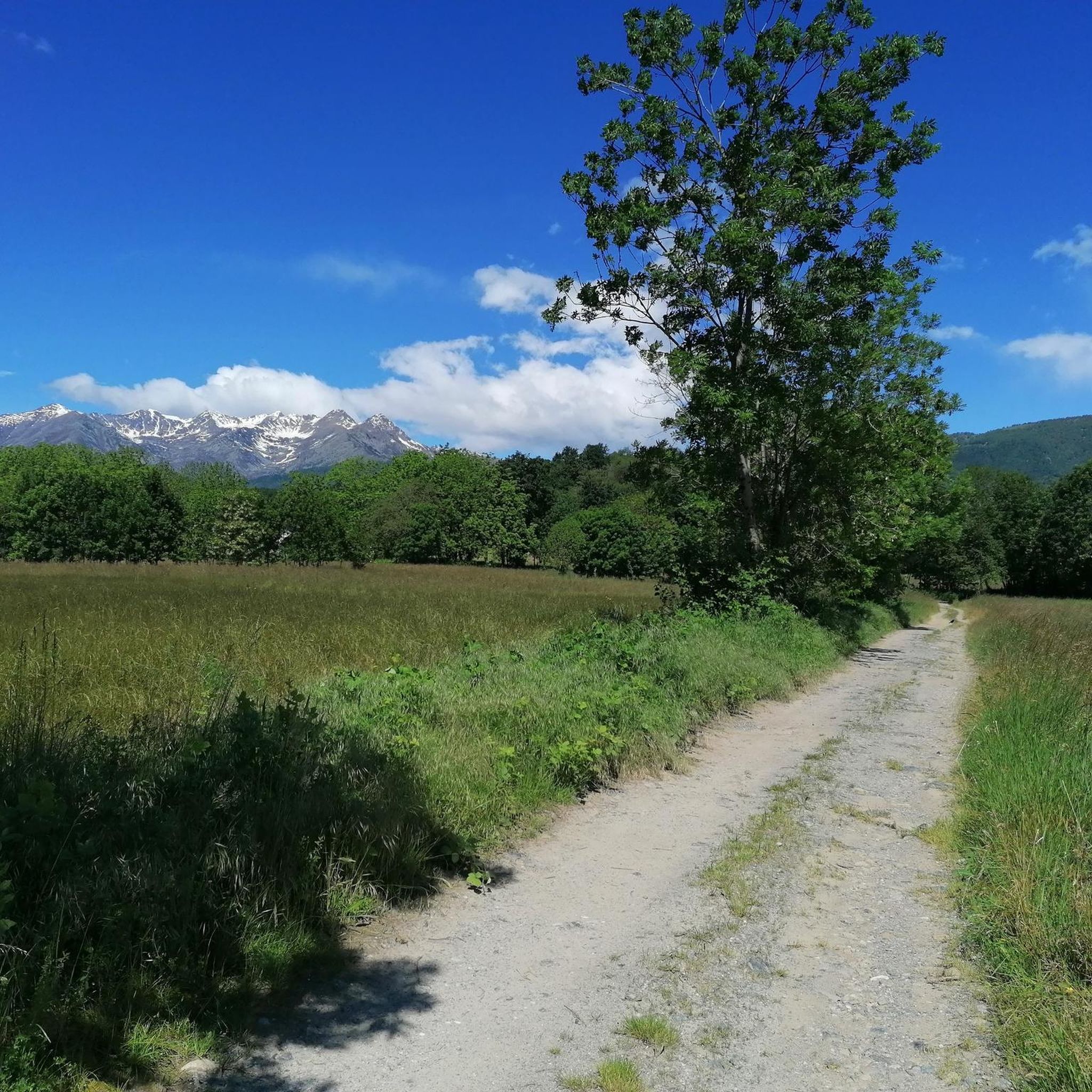
Hiking around Giaveno offers access to the diverse landscapes of the Graian Alps, characterized by mountainous terrain, dense forests, and river valleys. The region features a network of trails traversing through centuries-old woodlands and green meadows. Hikers can explore various mountain peaks and passes, with routes often following historic paths. The area's natural features include rivers like those in the Alta Val Sangone Ecomuseum, contributing to varied hiking experiences.
Best hiking trails around Giaveno
- The most popular hiking route is…
Last updated: August 17, 2026
4.3
(24)
62
hikers
7.42km
02:19
280m
270m
Hike the moderate 4.6-mile Augusto Monti Trail loop near Giaveno, exploring varied landscapes and literary panels dedicated to Augusto Monti
3.7
(3)
18
hikers
12.1km
04:53
760m
760m
Hike the Miniera Garida loop tour, a moderate 7.5-mile trail in Turin, combining panoramic mountain views with a unique historical mine expl

Sign up for free
4.3
(6)
44
hikers
6.20km
02:25
420m
420m
Embark on the David Bertrand Trail, a moderate hike that takes you through the varied terrain of Parco Naturale del Monte Tre Denti - Freidour. This route covers 3.9 miles…
5.0
(1)
3
hikers
19.9km
06:33
830m
830m
Hard hike. Very good fitness required. Mostly accessible paths. Sure-footedness required.
4.0
(1)
6
hikers
11.9km
04:12
700m
700m
Moderate hike. Good fitness required. Easily-accessible paths. Suitable for all skill levels.
Get access to more routes and recommendations from other explorers.
Sign up for free
Already have an account?
Our route recommendations are based on thousands of hikes, rides, and runs completed by other people on komoot.
Start today with a free account
Your next adventure awaits.
Login or Signup


Tips from the Community

From the parking lot, you can enjoy a wonderful panorama.
0
0
Beautiful little church in the hamlet of the same name, with its facade somewhat squeezed against the slope, but a magnificent bell tower that can be seen from afar. Also interesting is the abandoned little house not far away, right by the road, with traces of propaganda writings from the Ventennio still visible. Given that, as you climb, the worst is yet to come, it's a good opportunity to take a break and prepare yourself, physically and mentally, for the ascent to L'Aquila.
0
0

A pool of mountain water, collected in a rock basin pierced by a waterfall. A very strenuous climb, but one that is generously rewarding. The Leuja Scura is very evocative, a haven from the heat of the Turin summer. You can also sit and relax at the picnic table.
0
0

We leave the road for the Aquila point for a moment, and go to this plain with green grass and rhododendrons
0
0

Panoramic point located on the ridge that leads to the Picchi del Pagliaio, reachable from Borgata Ferria (Forno di Coazze) or Cervelli or Palè (Sagonetto valley).
0
0
It is worth a visit just to see the outside.
0
0

Pian del Secco top at 1440 m above sea level with a spectacular panorama
0
0
Perfect place to take selfies with friends
0
0
Frequently Asked Questions
How many hiking trails are available around Giaveno?
Giaveno offers a wide selection of hiking opportunities, with over 100 trails documented on komoot. These routes cater to various skill levels, including 38 easy, 66 moderate, and 12 difficult options, ensuring there's a path for every hiker.
What kind of terrain can I expect on hikes near Giaveno?
The hiking terrain around Giaveno is incredibly diverse, ranging from mountainous landscapes and peaks in the Graian Alps to dense, centuries-old forests, green meadows, and river valleys. Many trails follow historic mule tracks, offering varied scenery and elevation changes.
Are there any challenging hikes for experienced mountaineers in the Giaveno area?
Yes, for experienced hikers seeking a challenge, Giaveno provides several strenuous mountaineering routes. An example of a difficult route is the Sorgenti del Sangone – loop tour in the province of Turin, which features significant elevation gain and covers nearly 20 km.
Are there any circular hiking routes around Giaveno?
Yes, Giaveno offers several circular hiking routes perfect for day trips. For example, the Garida Mine - La Falconiera Loop is a moderate 12.1 km path with notable elevation gain, offering panoramic views. Another option is the Pian del Secco – loop tour in the province of Turin, a moderate 11.9 km loop.
What natural attractions can I discover while hiking near Giaveno?
Beyond the stunning mountain vistas, Giaveno's surroundings are rich in natural monuments and features. You can explore various rivers, such as those within the Alta Val Sangone Ecomuseum, and discover beautiful waterfalls like the Goja del Pis Waterfall, Leuja Scura Waterfall, and Gravio Waterfall.
Are there any mountain huts or refuges along the trails in Giaveno?
Yes, hiking in the Giaveno area often provides opportunities to pass through charming villages and reach mountain huts (rifugi). Notable huts include Toesca Hut, Selleries Hut, and Melano Mountain Hut (Casa Canada), which offer places for rest and to experience local traditions.
What do other hikers say about the trails around Giaveno?
The trails around Giaveno are highly regarded by the komoot community, boasting an average rating of 4.3 stars from over 700 reviews. Hikers frequently praise the diverse landscapes, from quiet woodlands to challenging mountain paths, and the well-maintained network of trails.
Are there any historical routes or long-distance trails accessible from Giaveno?
Yes, Giaveno serves as a gateway to significant historical and long-distance routes. A prominent example is the 'Trail of the Franks,' a historic route that follows ancient trade paths. For multi-day adventures, the 'Susa Valley Crossing' offers a traverse reaching the French border with spectacular mountain views.
What are some good moderate hikes for a day out in Giaveno?
For a moderate day hike, consider the Augusto Monti Trail, a 7.4 km route with a steady ascent through forested areas. Another excellent choice is the David Bertrand Trail, which is 6.2 km long and leads through varied forest landscapes.
Can I find trails that pass through charming villages or offer cultural insights?
Many trails in the Giaveno region traverse through picturesque villages and historic areas, allowing hikers to experience local culture and traditions. The presence of the Alta Val Sangone Ecomuseum also highlights the region's rich heritage and diverse natural environment.
What kind of flora and fauna can I expect to see while hiking in Giaveno?
Hiking in Giaveno offers opportunities to observe diverse flora and fauna, particularly along trails that wind through centuries-old forests, green meadows, and river valleys. The region's location in the Graian Alps contributes to unique local plant life and wildlife, especially on higher mountain routes like the Susa Valley Crossing.
Most popular routes around Giaveno
Most popular attractions around Giaveno

Get inspired with the komoot mobile app


Explore more
Browse the best Hikes in other regions.
