The best running trails around Sangano
4.5
(247)
6,408
runners
326
runs
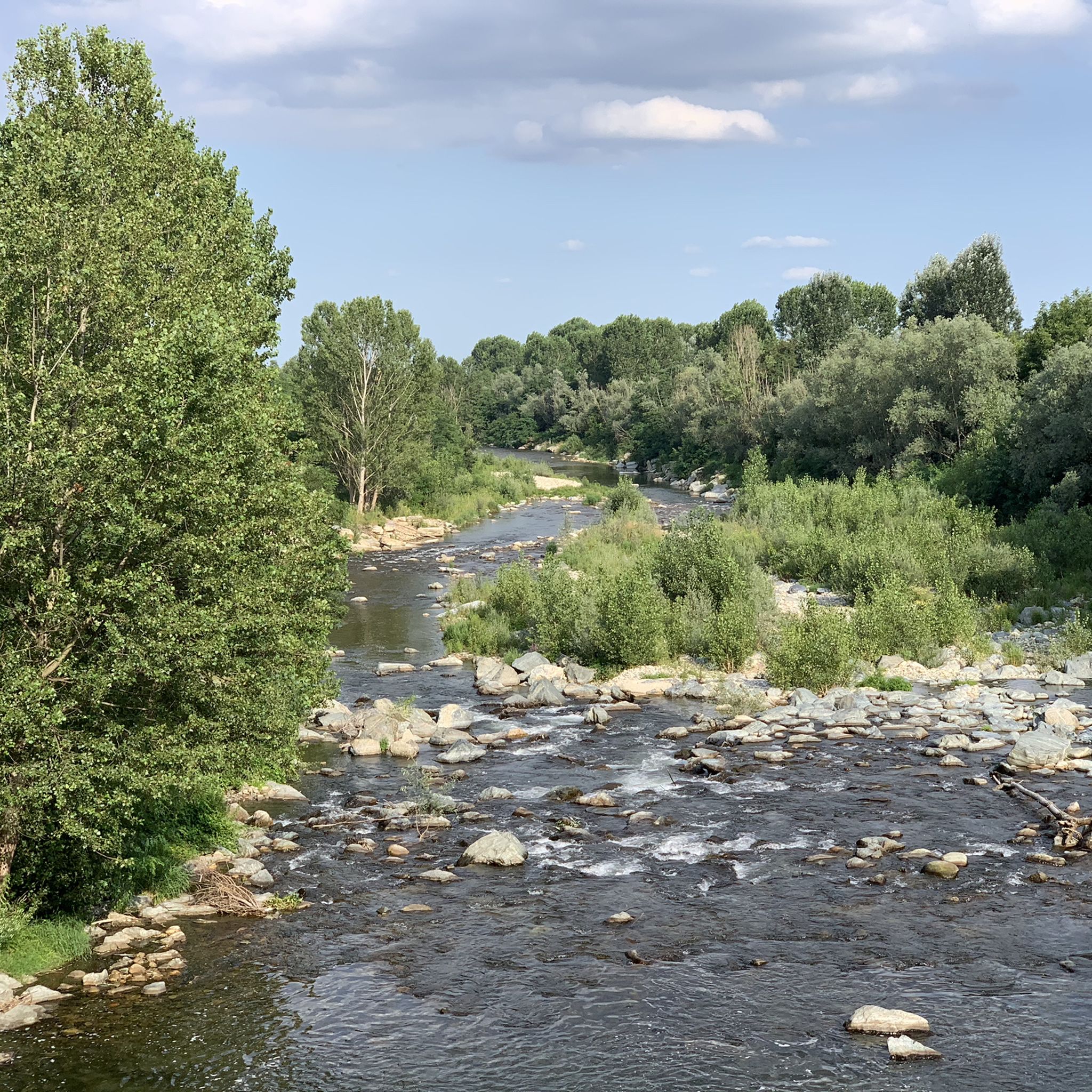
Jogging around Sangano offers a network of routes primarily following river paths and greenway cycle paths. The terrain is generally gentle, characterized by low elevation gains along the Sangone River valley. This area provides accessible running opportunities through varied landscapes, including open stretches and sections alongside water. The routes often feature flat or gently undulating surfaces, suitable for different running paces.
Best jogging routes around Sangano
- The most popular jogging route is Bridge over the Sangone River – Greenway Cycle…
Last updated: October 5, 2026
50
runners
27.8km
02:53
100m
100m
Hard run. Very good fitness required. Mostly paved surfaces. Suitable for all skill levels.
5.0
(3)
42
runners
Hard run. Very good fitness required. Mostly paved surfaces. Suitable for all skill levels.

31
runners
13.9km
01:33
130m
130m
Moderate run. Good fitness required. Mostly paved surfaces. Suitable for all skill levels.
31
runners
4.61km
00:29
20m
20m
Easy run. Great for any fitness level. Mostly paved surfaces. Suitable for all skill levels.
5.0
(2)
57
runners
Moderate run. Good fitness required. Mostly paved surfaces. Suitable for all skill levels.
Get access to more routes and recommendations from other explorers.
Already have an account?
Our route recommendations are based on thousands of hikes, rides, and runs completed by other people on komoot.
Start today with a free account
Your next adventure awaits.
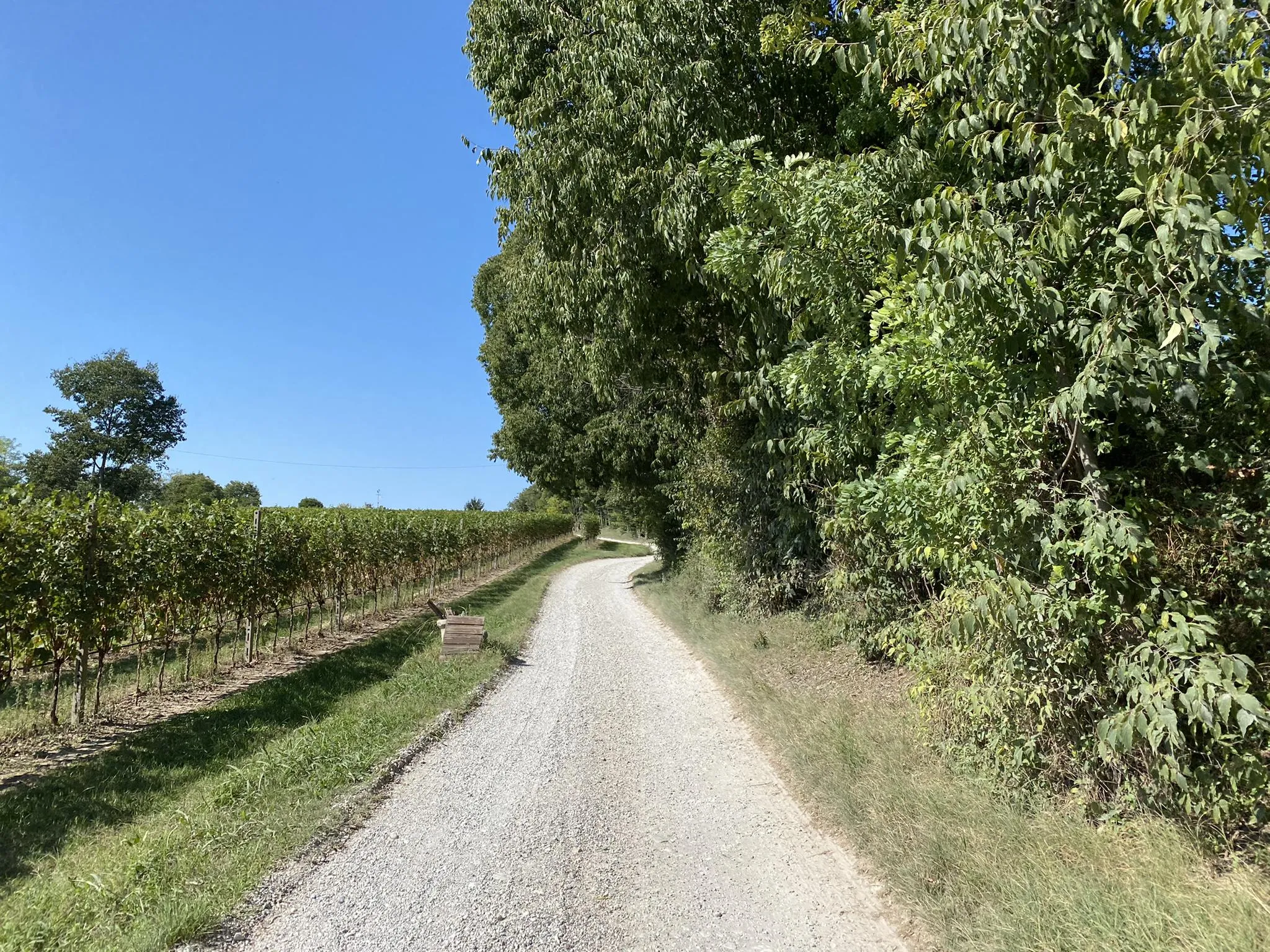
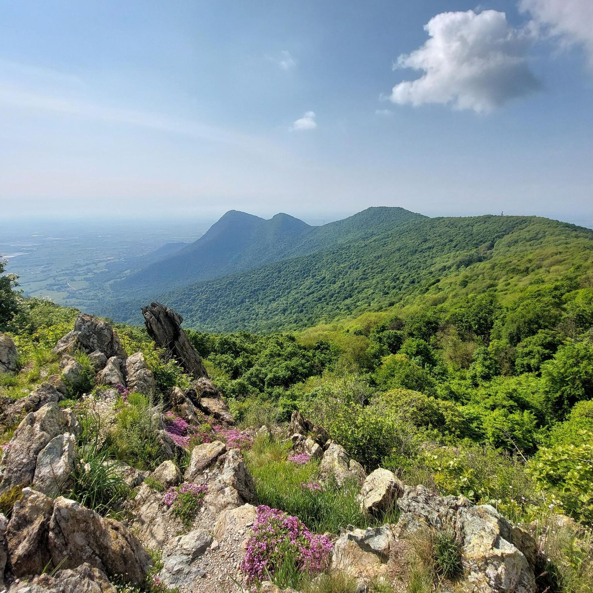
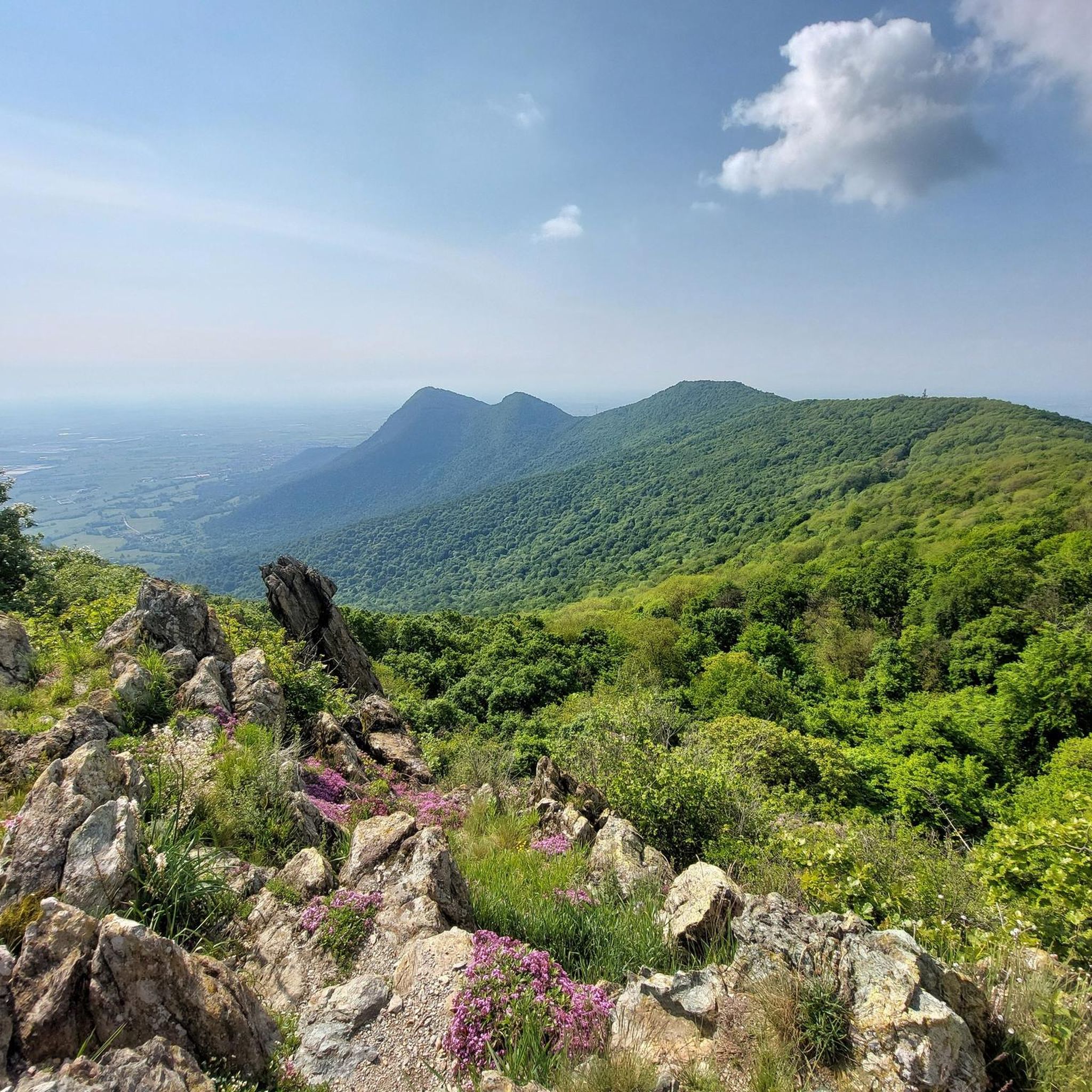
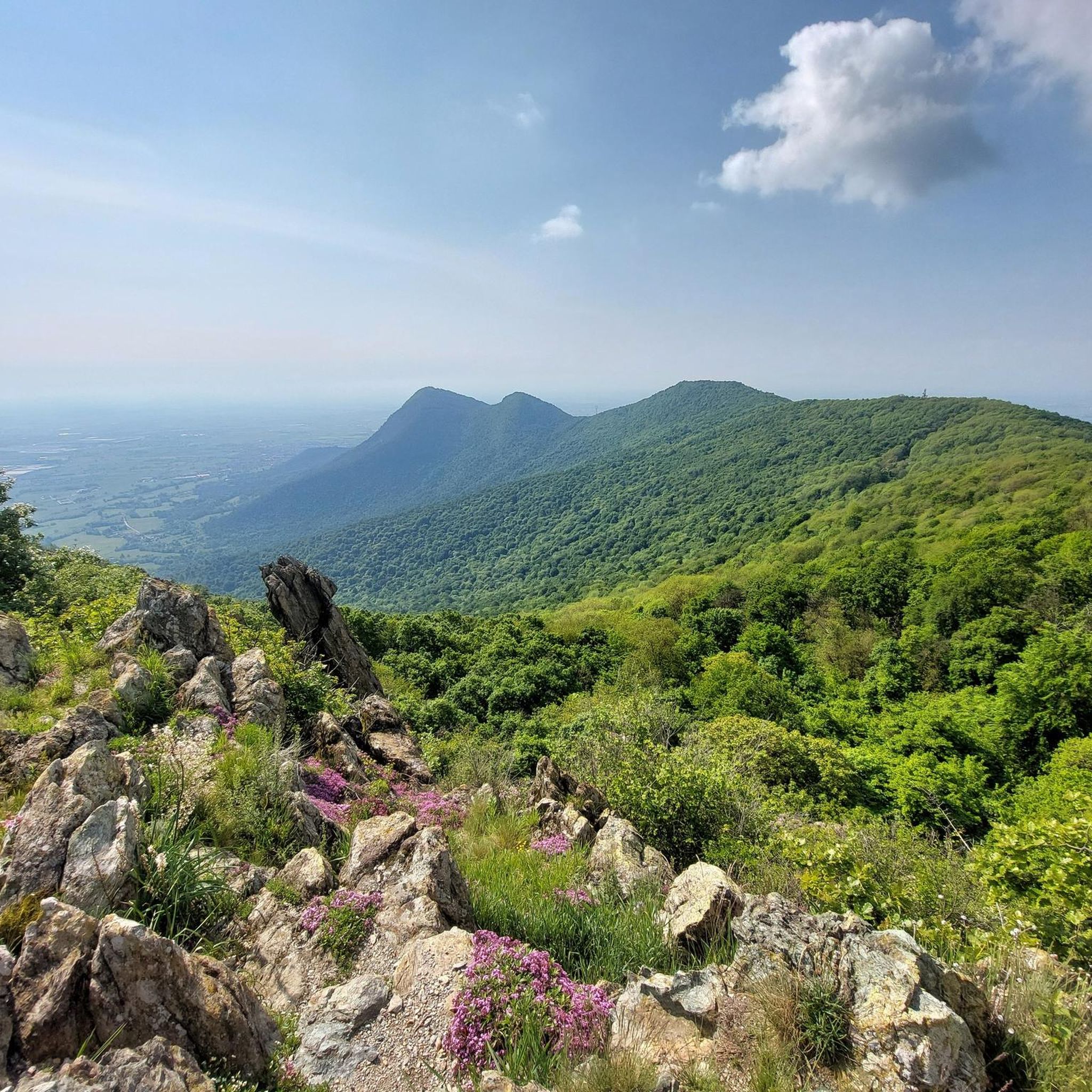

Other adventures around Sangano

Tips from the Community

Nice trail that passes through fields and woods, crossing beautiful places at the foot of the morainic hill. Suitable for almost any bicycle, it has a good surface and does not present overly difficult sections (except perhaps one or two ramps that are however short, where you can also push a bit if necessary).
0
0

Currently totally dry. Water shortage here too and not just in Germany.
1
0

The dirt road leads from the Sangano bridge to the industrial area of Trana, running alongside the stream.
0
0
Beautiful bike path with lots of shade
0
0

easy road for family
1
0

Never seen works of this kind
1
0
the bridge with a spiral climb connects the cycle path along the Sangone with the centre of Beinasco
0
0
The cycle/pedestrian path is always a guarantee
2
0
Frequently Asked Questions
How many running routes are available around Sangano?
Sangano offers a wide selection of running opportunities, with over 270 routes available on komoot. These include 22 easy, 181 moderate, and 69 difficult trails, catering to various fitness levels.
Are there any easy or beginner-friendly jogging routes in Sangano?
Yes, Sangano features several easy jogging routes, many of which follow the gentle terrain of river paths and greenway cycle paths. These are ideal for beginners or those looking for a relaxed run. You can find 22 easy routes in the area.
What kind of terrain can I expect on Sangano's running trails?
The running trails around Sangano are primarily characterized by river paths and greenway cycle paths. The terrain is generally gentle, with low elevation gains, offering accessible running opportunities through varied landscapes. You'll find mostly flat or gently undulating surfaces.
Are there any longer distance running trails for experienced runners?
For those seeking a longer challenge, Sangano offers several routes. One option is the Bridge over the Sangone River loop from Sangano, a moderate 13.1 km (8.1 miles) trail with gentle elevation changes, providing a good endurance run.
Can I find circular running routes in Sangano?
Yes, many of the running routes in Sangano are circular, allowing you to start and finish at the same point. For example, the Bridge over the Sangone River – Greenway Cycle Path loop from Bruino is a moderate 11.9 km (7.4 miles) circular route that follows the river and a dedicated cycle path.
What do other runners say about the trails in Sangano?
The running routes in Sangano are highly regarded by the komoot community, holding an average rating of 4.5 stars from over 129 reviews. Runners often praise the accessible river paths and greenway cycle paths, as well as the varied landscapes and gentle terrain suitable for different paces.
Are there any natural attractions or landmarks along the running routes?
While running around Sangano, you'll be close to several natural attractions. You might encounter highlights like Pessina Pond or the larger Small Lake of Avigliana, which offer scenic views and a chance to enjoy the local natural monuments.
Are there any challenging running routes in the Sangano area?
Yes, for runners looking for a more demanding experience, there are 69 difficult routes available. One such route is the Bridge over the Sangone River – Greenway Cycle Path loop from Sangano, which is 16.8 km (10.5 miles) long and features varied terrain suitable for a challenging run.
What is the best season for running in Sangano?
Given the region's generally gentle terrain and riverine landscapes, running in Sangano is enjoyable across multiple seasons. Spring and autumn offer pleasant temperatures and vibrant scenery, while summer mornings or evenings are ideal to avoid the heat. Winter can also be suitable, especially on the well-maintained greenway paths, though conditions may vary.
Are there running routes that offer viewpoints or scenic spots?
Many routes in Sangano follow the Sangone River, offering pleasant views of the water and surrounding green areas. While not featuring high mountain vistas, the trails provide scenic stretches through natural landscapes. For broader views, you might consider routes that pass near highlights like Monte San Giorgio Summit and Cross, though these may involve more significant elevation.
Are the running paths in Sangano suitable for families?
Yes, the generally gentle and accessible nature of Sangano's river paths and greenway cycle paths makes many of them suitable for families. Routes with low elevation gains and smooth surfaces are ideal for a family outing, allowing everyone to enjoy a run or walk together.
Are there any running routes that pass by cafes or places to rest?
While specific cafes directly on every trail are not guaranteed, many routes pass through or near towns and villages where you can find amenities. The accessibility of the area means you're often not far from a place to refuel or rest after your run.
Most popular attractions around Sangano

Get inspired with the komoot mobile app


Explore more
Browse the best Running Trails & Routes in other regions.
