The best walks and hikes around Wachtendonk
4.5
(1093)
3,807
hikers
114
hikes
Hiking around Wachtendonk provides access to varied natural landscapes, shaped by its location on the River Niers and near the Nette River. The terrain features extensive forest areas, such as the Niersdorfer Wald and Heronger Buschberge, alongside open meadows and fields. A notable highlight is the area around the Krickenbecker Lakes, offering diverse forest environments. The region's low elevation ensures generally gentle gradients across its trail network.
Best hiking trails around Wachtendonk
- The most popular hiking route is Adventure Path…
Last updated: October 8, 2026
4.7
(103)
357
hikers
3.18km
00:48
0m
0m
Easy hike. Great for any fitness level. Easily-accessible paths. Suitable for all skill levels.
4.3
(67)
233
hikers
7.77km
01:57
10m
10m
Easy hike. Great for any fitness level. Easily-accessible paths. Suitable for all skill levels.

4.5
(31)
114
hikers
Moderate hike. Good fitness required. Easily-accessible paths. Suitable for all skill levels.
4.5
(33)
103
hikers
18.1km
04:34
20m
20m
Moderate hike. Good fitness required. Easily-accessible paths. Suitable for all skill levels.
4.7
(43)
132
hikers
Moderate hike. Good fitness required. Easily-accessible paths. Suitable for all skill levels.
Get access to more routes and recommendations from other explorers.
Already have an account?
Our route recommendations are based on thousands of hikes, rides, and runs completed by other people on komoot.
Start today with a free account
Your next adventure awaits.
Popular around Wachtendonk
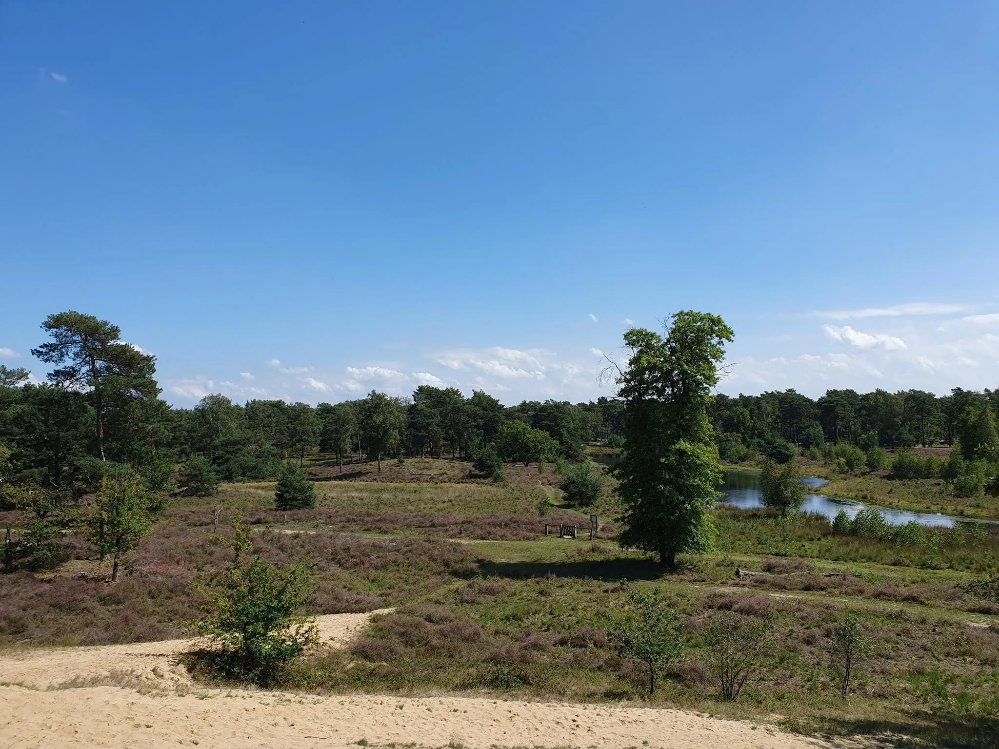
The Maas-Niederrhein Trail - Cross-border hiking in 19 stages
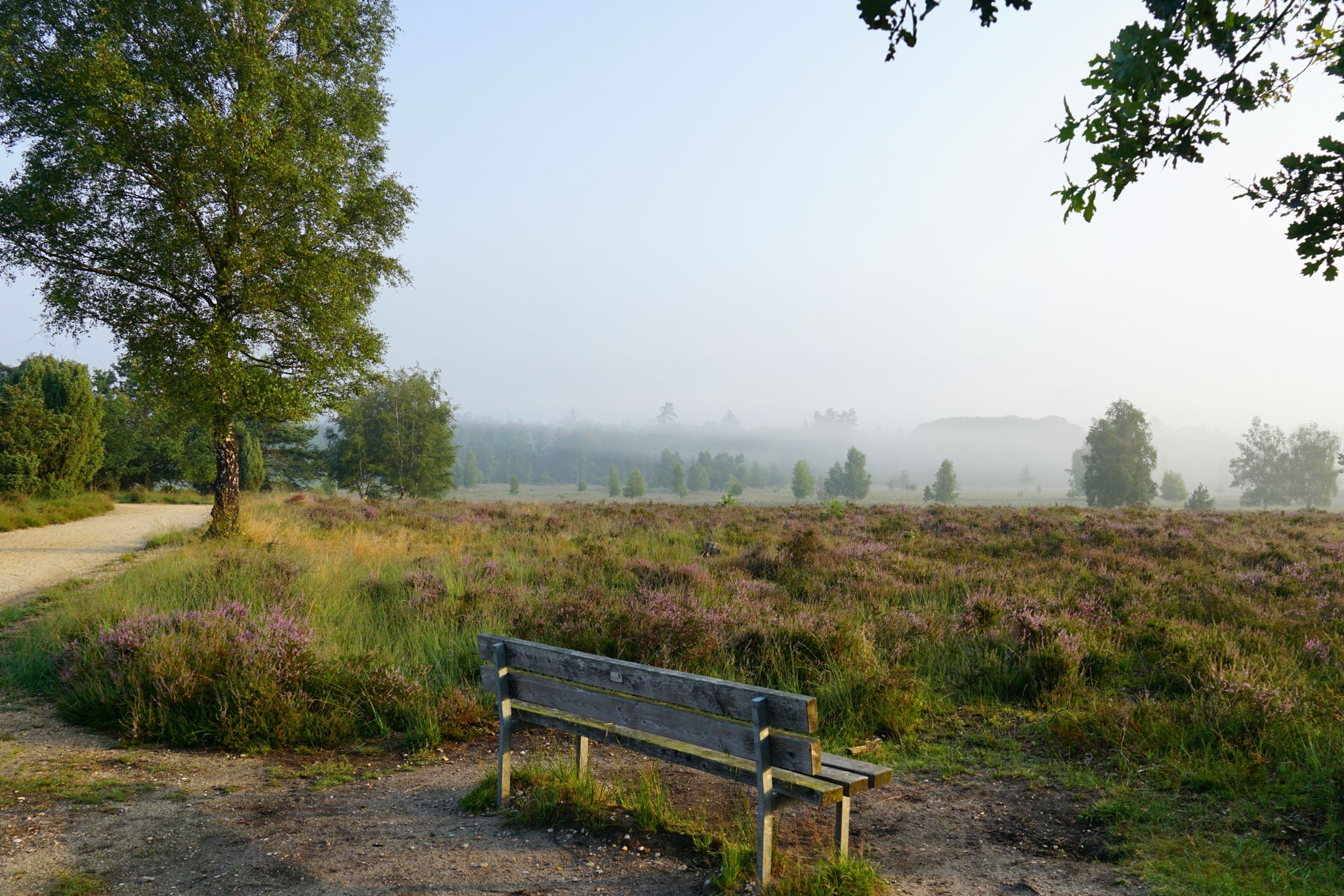
Leichte.Wander.Welt. - 10 barrier-free paths
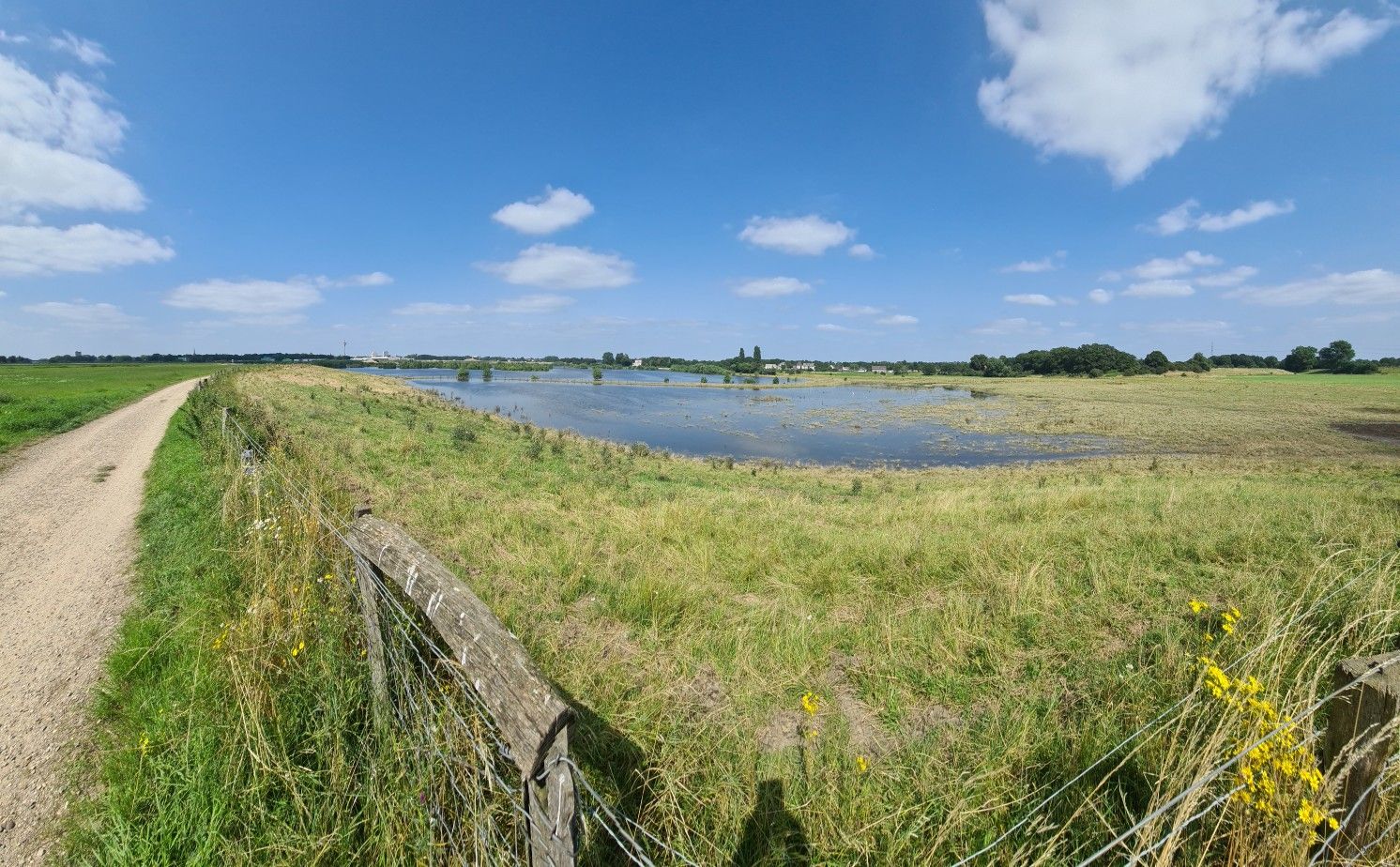
The way is the goal – Lower Rhein Route
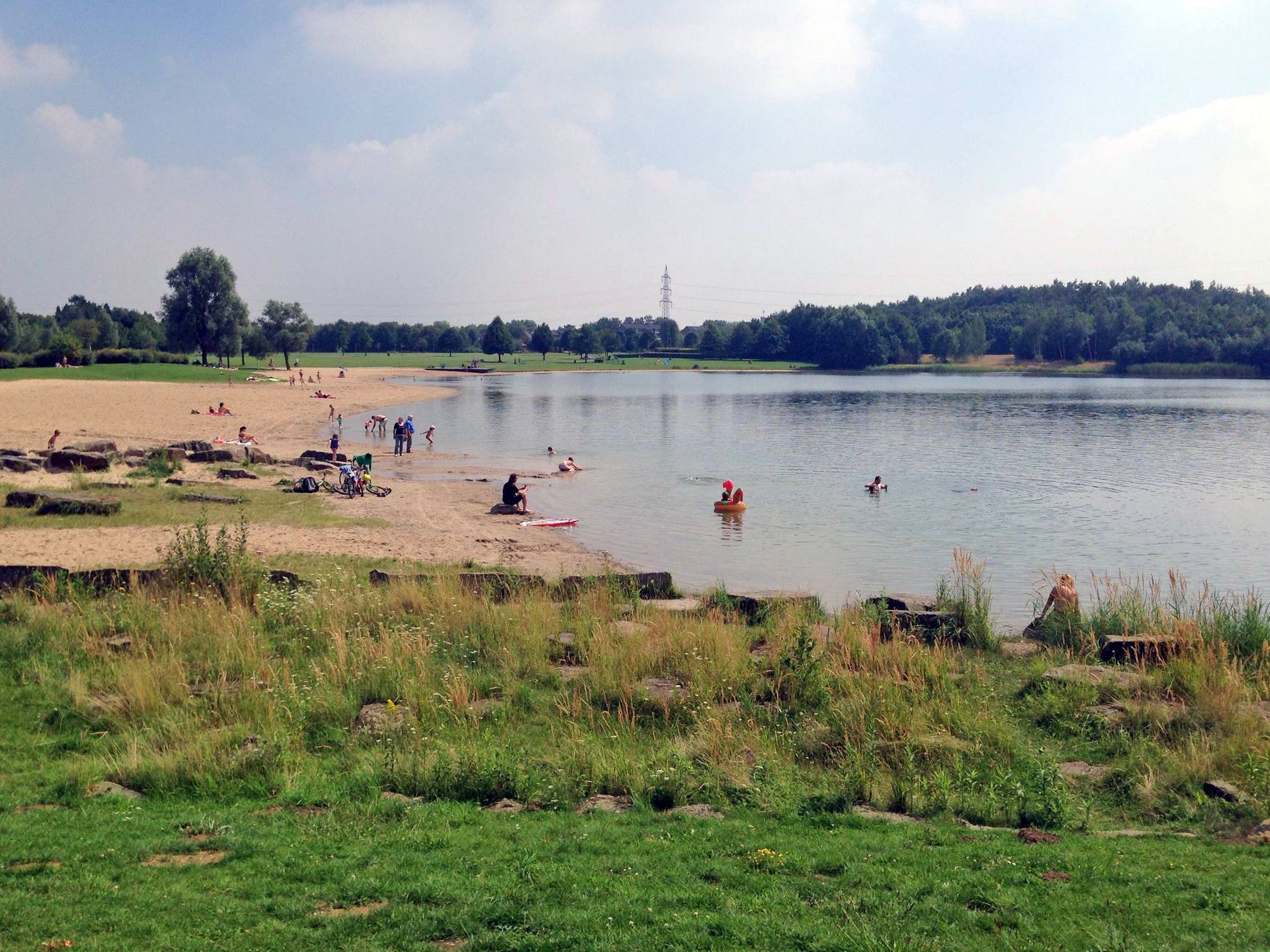
The best swimming lakes in the Ruhr Area
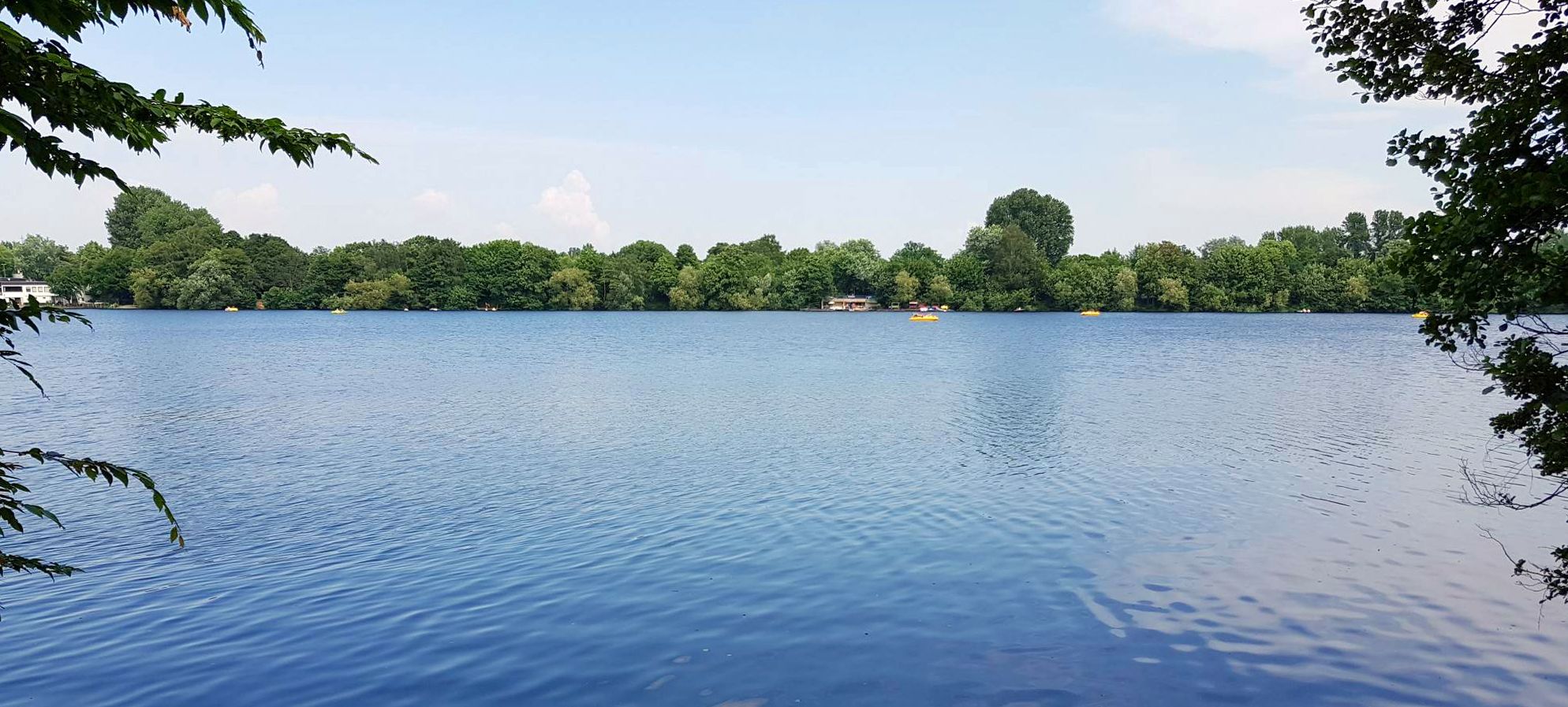
The most beautiful swimming lakes around Düsseldorf
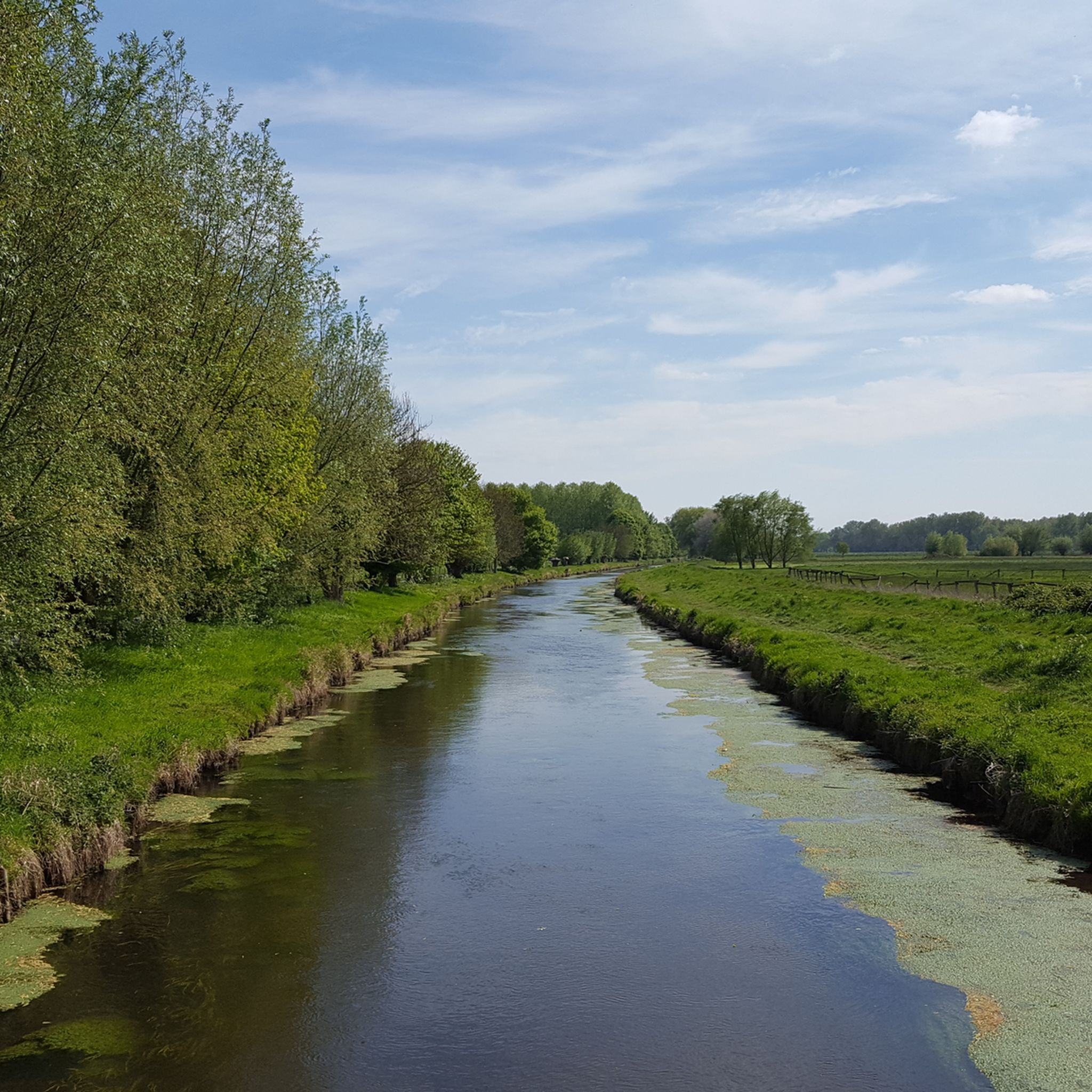
Cycling around Wachtendonk
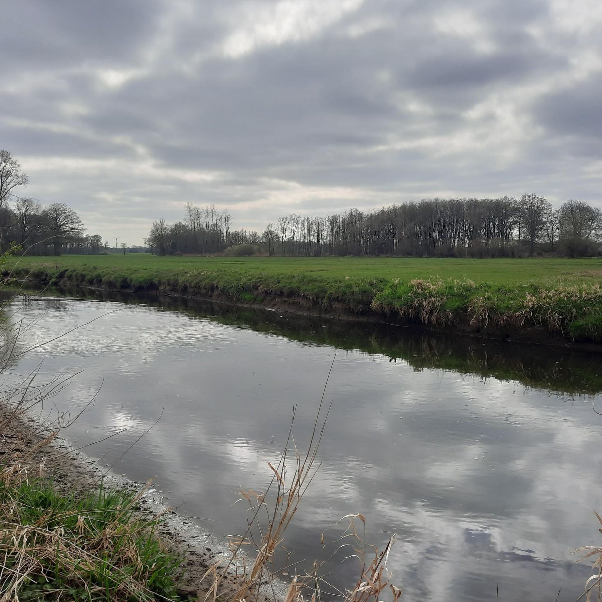
Running Trails around Wachtendonk
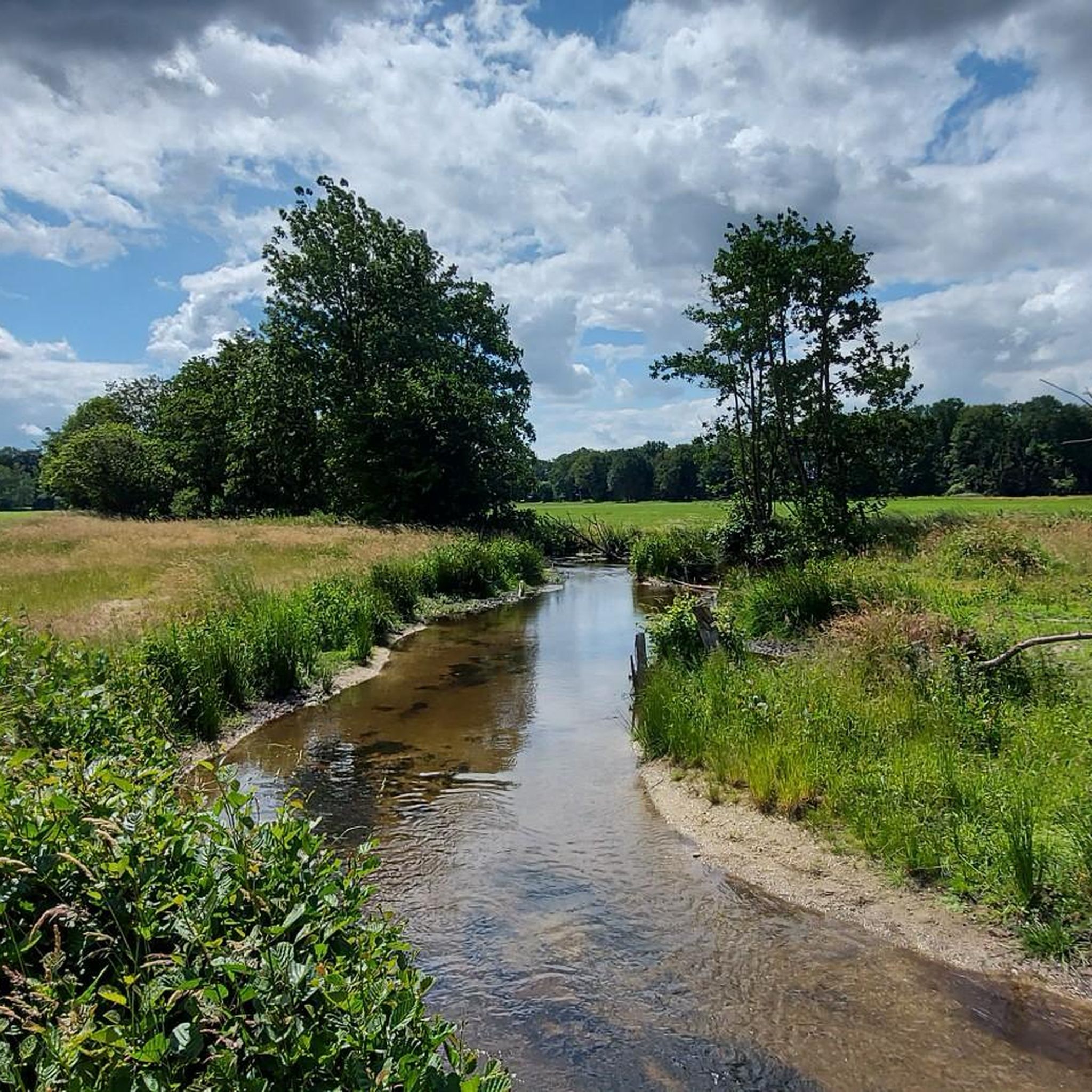
Road Cycling Routes around Wachtendonk
Gravel biking around Wachtendonk
MTB Trails around Wachtendonk
Other adventures around Wachtendonk


Tips from the Community

A town/village with really beautiful buildings.
2
0
beautiful piece of nature here.
2
0
Beautiful piece of nature.
2
0

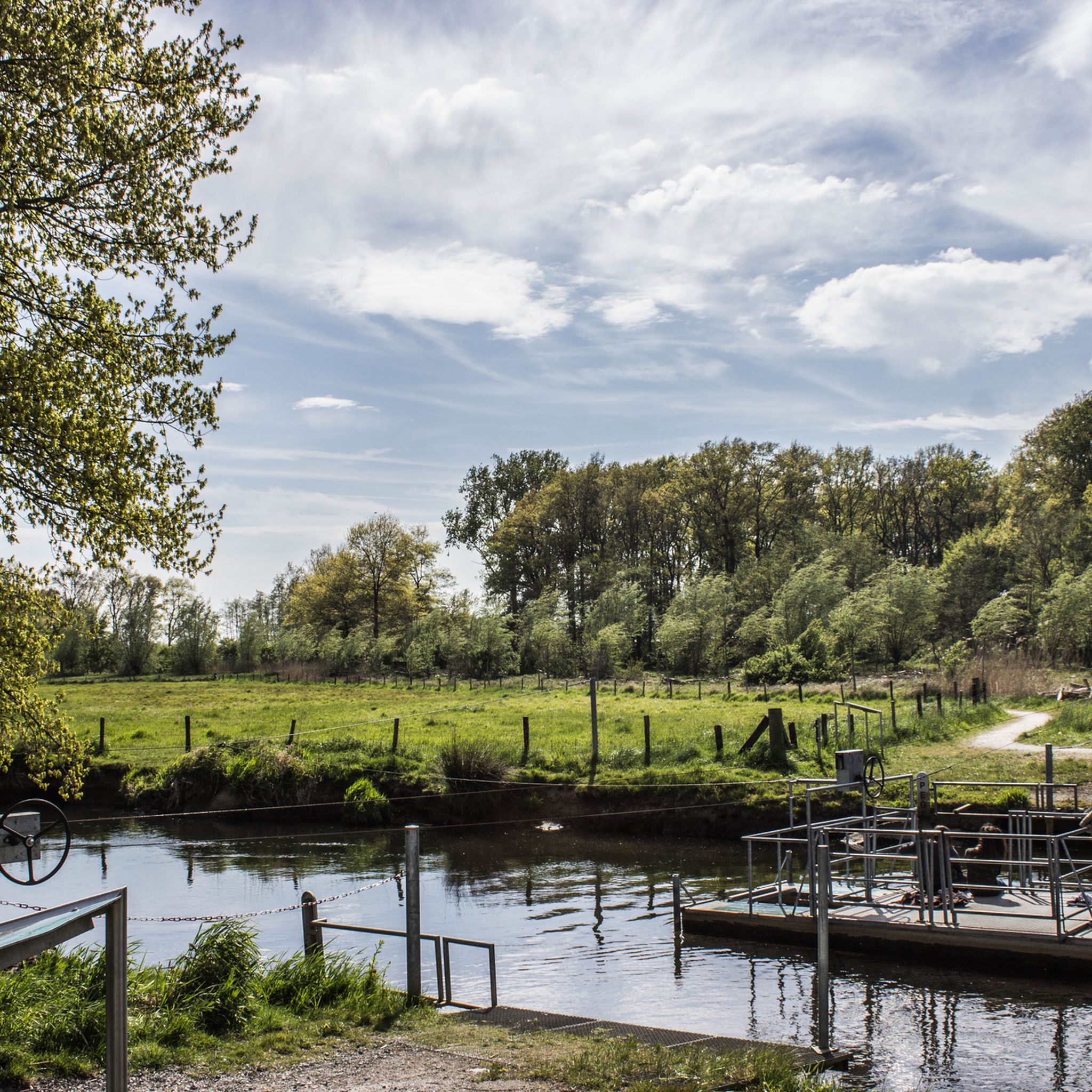
From this place, the Niers and Nette flow together until they confluence with the Meuse.
7
0

Here you can canoe in the Niers
2
0

Typical for the Lower Rhine, these willow trees, also called pollard trees.
8
0

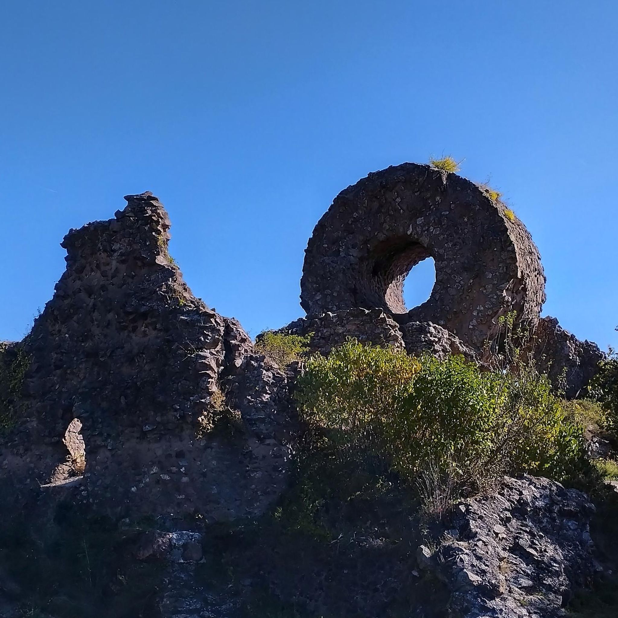
"Two-story brick building with a square floor plan and an unusually stepped Renaissance gable. Rebuilt in 1605/1606 on the up to 1.70 m thick cellar foundations of a medieval city tower, although the Wachtendonk Fortress was razed in the following two years. Next to the castle ruins is the "Powder Tower" probably the only visible above-ground sign of the fortress complex. The “powder tower” initially served as a granary for the poor's bread, and the city prison was housed in the cellar vaults until 1812. In the 19th century, the building was converted for residential purposes, only as part of a comprehensive renovation project "The historic building was given its original appearance again and has been used as a restaurant since May 12, 1985." https://www.wachtendonk.de/tourismus-freizeit/service/infomaterial/rundgang-geschichte-zum-anfass.pdf?cid=37s
4
0
The path takes us further along the Niers before we separate from it and turn right into the fields...
2
0
Frequently Asked Questions
How many hiking trails are there in Wachtendonk?
Wachtendonk offers a wide variety of hiking experiences with over 110 trails. You'll find options ranging from easy strolls to more challenging routes, catering to different preferences and fitness levels.
What is the best time of year to go hiking in Wachtendonk?
The best seasons for hiking in Wachtendonk are spring and autumn. In spring, nature awakens with vibrant flora, while autumn offers stunning colorful foliage and mild temperatures, making for picturesque walks through the forests and along the rivers.
Are there any easy, family-friendly hikes in Wachtendonk?
Yes, Wachtendonk is well-suited for families with many easy trails. A great option is the Adventure Path South - Easy.Hiking.World, a short 3.2 km route that takes less than an hour to complete, perfect for a quick and accessible outing with children. The region's generally low-lying terrain ensures gentle gradients.
What kind of natural landscapes can I expect to see while hiking in Wachtendonk?
Wachtendonk's hiking trails showcase diverse natural landscapes. You'll encounter picturesque riverine scenery along the Niers and Nette rivers, extensive forest areas like the Niersdorfer Wald and Heronger Buschberge, and open meadows and fields. The area around the Krickenbecker Lakes is a particular highlight, featuring varied forest types and tranquil waters.
Are there any circular walks available in Wachtendonk?
Yes, Wachtendonk offers several appealing circular walks. For a longer, scenic loop, consider the Krickenbecker Lakes – Schroliksee Viewing Platform loop from Springmeyers Kapelle, which covers about 14.7 km and takes you through diverse landscapes around the lakes.
What historical attractions or landmarks can I explore on a hike?
Wachtendonk is rich in history. You can explore the historic town center with its many listed buildings and the notable Wachtendonk Castle Ruins. The Mühlenpfad (Mill Trail) also allows you to discover impressive old mills like the Hagenmühle, Wankumer Mühle, and Kranenburger Mühle, offering a glimpse into the region's past.
Are there any viewpoints or panoramic spots along the trails?
Yes, for expansive views, head to the observation tower on the Galgenberg. On clear days, you can enjoy panoramic vistas that stretch as far as the Netherlands. Additionally, the Schroliksee Viewing Platform offers beautiful perspectives over the Krickenbecker Lakes.
What do other hikers say about the trails in Wachtendonk?
The hiking trails in Wachtendonk are highly regarded by the komoot community, with an average rating of 4.5 stars from over 900 reviews. Hikers often praise the quiet woodlands, the well-maintained paths, and the diverse scenery, particularly around the Niers River and the Krickenbecker Lakes.
Are there any places to stop for refreshments or information along the hiking routes?
Yes, you'll find options for breaks. The Krickenbecker Lakes Information Center provides information about the area. For refreshments, the Hombergen Forest Lodge is a good spot, and you might also encounter inviting rest areas or self-service farm shops like Bürgers Markthütte.
Can I reach hiking trails in Wachtendonk using public transport?
Wachtendonk is integrated into regional transport networks. While specific routes may require a short walk from bus stops, the area is generally accessible. It's advisable to check local bus schedules to plan your approach to the trailheads.
Are there any longer, more challenging routes for experienced hikers?
While Wachtendonk is known for its gentle terrain, there are longer routes that offer a good workout. The Experience Path North (Alternative route with Wankum) - Easy.Hiking.World is a moderate 9.2 km trail that takes around 2 hours 19 minutes, providing a more extended exploration of the region.
Most popular routes around Wachtendonk
Most popular attractions around Wachtendonk

Get inspired with the komoot mobile app


Explore more
Browse the best Hikes in other regions.
