The best running trails around Quincinetto
4.2
(77)
2,693
runners
199
runs
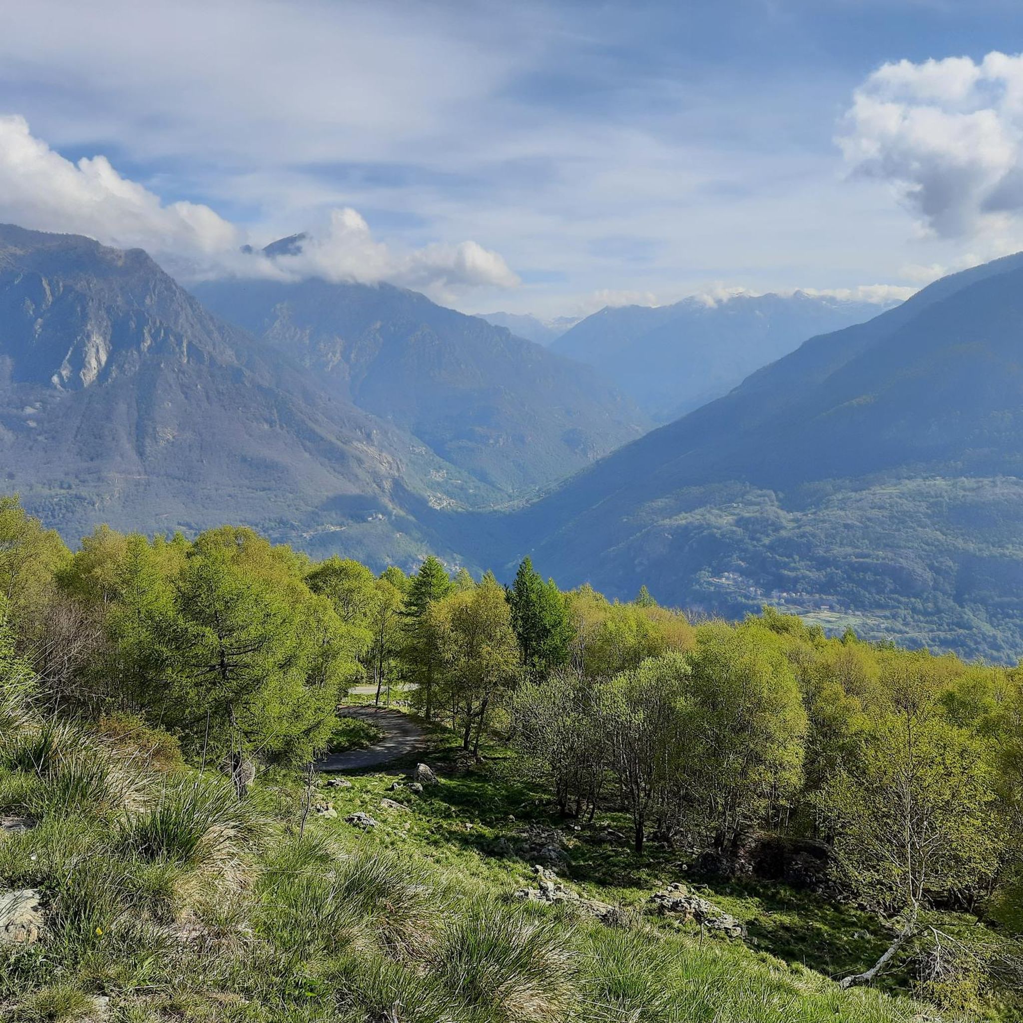
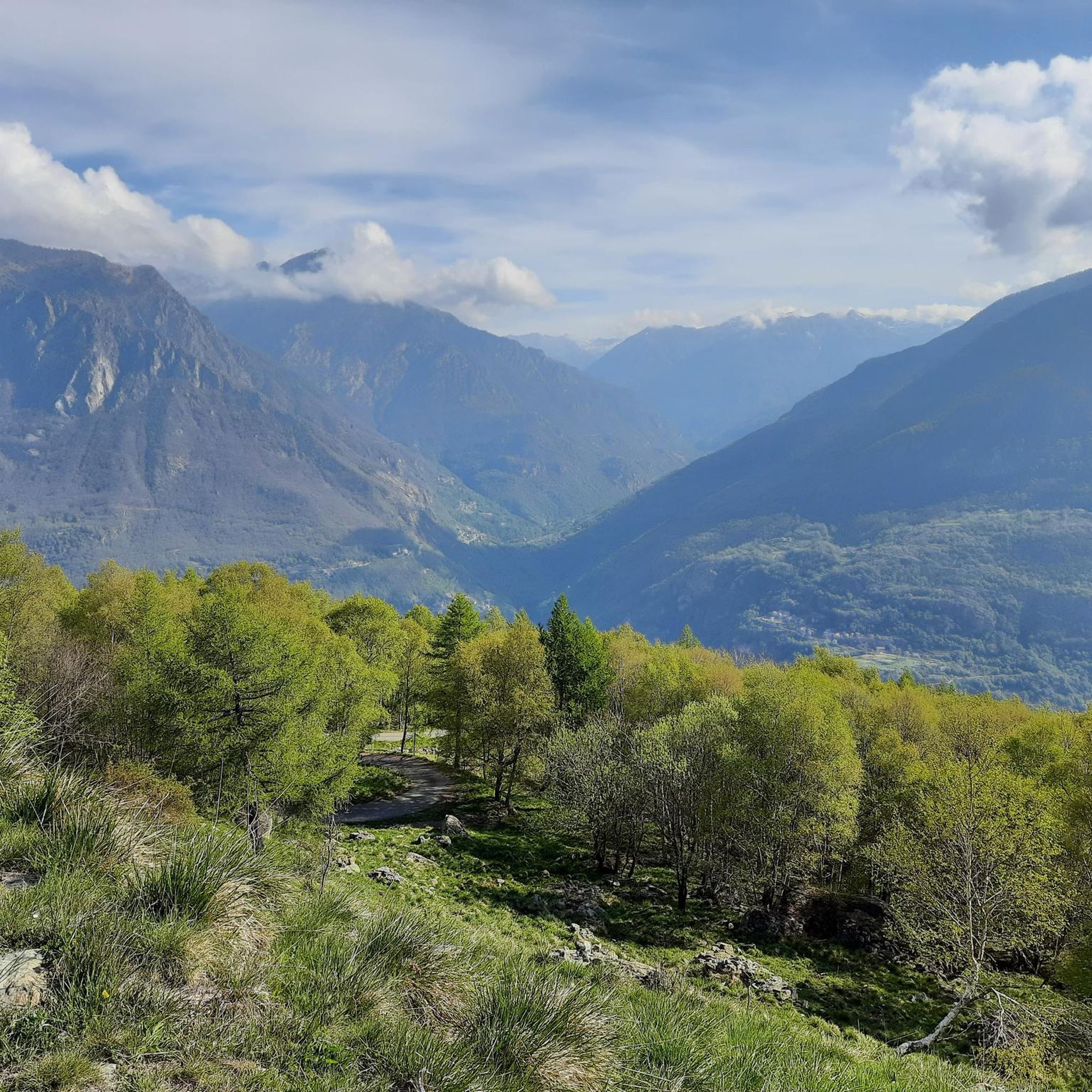
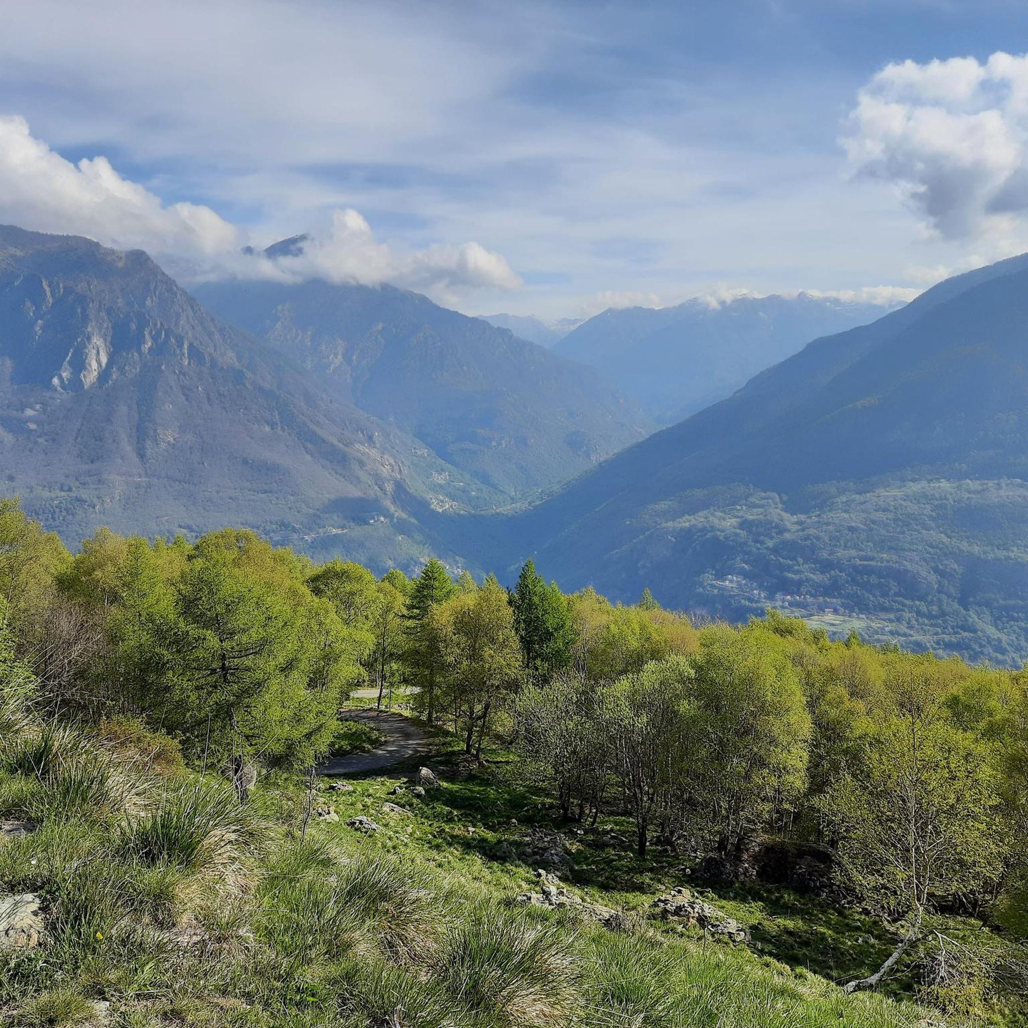
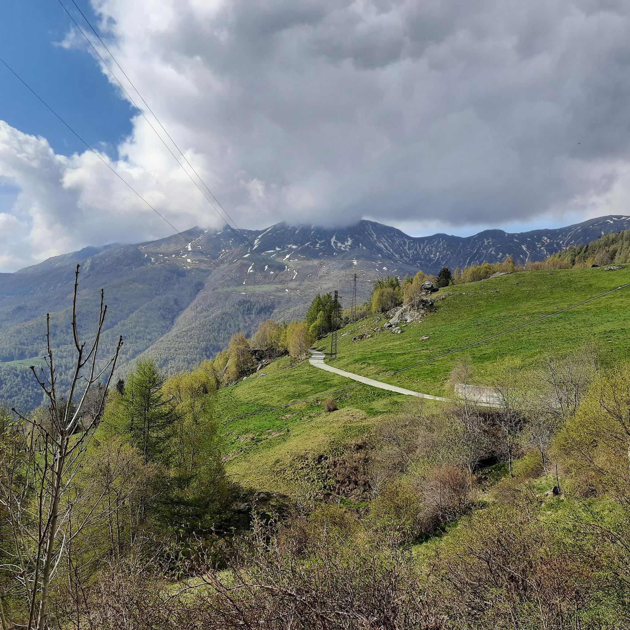
Jogging around Quincinetto offers diverse natural landscapes within the Metropolitan City of Turin, situated in the Italian region of Piedmont. The area is characterized by mountainous and hilly terrain, including pre-alpine valleys like the Dora Baltea Valley, providing varied elevation for running. Joggers can explore routes that traverse forests, meadows, and vineyards, often utilizing old paths. The region also features picturesque lakes, such as Lake Pistono and Lake Sirio, which offer scenic running routes.
Best jogging routes around Quincinetto
- The…
Last updated: October 8, 2026
29
runners
6.95km
01:05
340m
340m
Hard run. Very good fitness required. Sure-footedness, sturdy shoes and alpine experience required.
2.0
(1)
8
runners
6.58km
00:42
60m
60m
Moderate run. Good fitness required. Mostly paved surfaces. Suitable for all skill levels.

14
runners
13.8km
01:33
170m
170m
Moderate run. Good fitness required. Mostly paved surfaces. Suitable for all skill levels.
15
runners
13.1km
01:28
180m
180m
Moderate run. Good fitness required. Mostly paved surfaces. Suitable for all skill levels.
2.5
(2)
17
runners
Hard run. Good fitness required. Sure-footedness, sturdy shoes and alpine experience required.
Get access to more routes and recommendations from other explorers.
Already have an account?
Our route recommendations are based on thousands of hikes, rides, and runs completed by other people on komoot.
Start today with a free account
Your next adventure awaits.


Other adventures around Quincinetto

Tips from the Community

The Forte di Bard seen from the bridge over the Dora Baltea river offers one of the most iconic and photographed views in the Aosta Valley. This spectacular perspective captures the imposing, craggy fortress that dominates the village below and the river waters.
0
0

Pont Saint Martin, excellent and pleasant town at the foot of the Gressoney valley. The gateway to the Aosta Valley.
0
0

Panoramic viewpoint between the heroic vineyards of Donnas and Pont Saint Martin
0
0

Beautiful bridge connecting Hone to Bard. Magnificent view of the fort.
2
0

The Roman road of the Gauls, built to connect Rome with the Rhone Valley, has in the Donnas section one of its most characteristic and spectacular points, carved into the living rock for a length of 221 meters. At a place where in antiquity the rocky promontory plunged into the waters of the Dora, the Romans launched a real challenge to nature by carving a living rock on which they could draw perfectly vertical walls and in whose womb they carved the roadbed. Exciting and unusual, here the Via delle Gallie gives its best by offering the spectacle of a vaulted passage 4 meters thick, 4 meters high and almost 3 meters wide which eloquently illustrates the amount of rock removed and shows all the refinement of a road engineering that has never been reached again until viaducts and modern tunnels. In the Middle Ages it served as the gate of the village, which was closed at night; the other defenses were natural: on one side the mountain and on the other the river. A fundamental road, which has been used a lot over the centuries, as evidenced by the deep ruts left by the passage of carts and the wear of the walking surface which has been patched and repaired at various points over time. A little further on, on the right, we recognize the excellent profile of a milestone, also spared in the rocky bank, which informs us of the distance to Augusta Praetoria (the current city of Aosta): XXXVI miles (about 54 km).
6
0

The origin of this bridge is uncertain, but it was most likely built as early as Roman times. The first documents in which this bridge is mentioned, however, date from the second half of the 13th century. From 1272, the bridge is called the Hôhne Bridge or Bard Bridge in Latin and then in Old French. Apart from its history, the bridge is a beautiful photo point of Fort Bard.
43
0

The church of San Rocco is a small religious building from the 1600s, built to remember the numerous deaths due to the plague. The place is particularly loved for its incredible view of the valley below and the Dora Baltea river.
2
0
In addition to many temporary exhibitions, often aimed at promoting and learning about the culture and territory of the Aosta Valley and the Alps, the Forte di Bard includes three permanent museums. 1.) On the top floor is the Museum of the Alps. Here the secrets of the mountain have been presented through a multimedia path and interactive installations. A truly worthwhile and informative museum!!! 2.) A second museum room is dedicated to the prisons of the fort, twenty-four narrow cells (1.3 x 2 meters) distributed in four areas and accessed from a gallery decorated with historical prints and paintings that tell the story of the building. 3.) Finally, the Fortress and Border Museum of the Opera Ferdinando offers a journey through the history of the Bard through a parade of historical and plastic weapons, including scale models of defensive structures and miniature armies. Source: https://www.visititaly.eu/it/luoghi-e-itinerari/cosa-vedere-a-bard-borgo-in-valle-aosta
43
0
Frequently Asked Questions
How many running routes are available around Quincinetto?
There are over 130 running routes around Quincinetto, offering a wide range of options for different skill levels and preferences. The komoot community has explored more than 1800 of these routes, providing valuable insights and tips.
What kind of terrain can I expect on the jogging trails in Quincinetto?
The jogging trails around Quincinetto are characterized by diverse terrain, including mountainous and hilly sections, pre-alpine valleys, forests, meadows, and vineyards. You'll find varied elevations, from moderate paths to more challenging ascents, often utilizing old scenic paths.
Are there any easy or beginner-friendly running routes in the area?
Yes, Quincinetto offers several easier running options. While many routes feature varied elevation, there are at least 7 routes classified as easy, perfect for beginners or those looking for a less strenuous run. You can find options that traverse flatter sections of valleys or meadows.
What are some scenic points of interest I can see while running near Quincinetto?
The region boasts numerous scenic points. You can run past picturesque lakes like Lake Pistono and Lago Sirio, or explore areas with panoramic views such as Pian delle Nere. Some routes even incorporate historical elements like the ancient Roman road near Donnas.
Are there any running routes that are suitable for families or children?
While specific family-friendly routes are not explicitly detailed, the presence of easy and moderate trails suggests options suitable for families. Look for routes with lower elevation gain and shorter distances, often found around the lakes or through meadows, which provide a more relaxed experience for children.
Can I bring my dog on the running trails in Quincinetto?
Generally, dogs are welcome on many outdoor trails in the Piedmont region, provided they are kept under control, especially in nature areas or near livestock. It's always advisable to check specific trail regulations or local signage for any restrictions, particularly in protected natural reserves.
What is the best time of year to go jogging in Quincinetto?
Quincinetto offers great running opportunities throughout much of the year. Spring and autumn provide pleasant temperatures and vibrant scenery, ideal for exploring the varied terrain. Summer can be warm, so early morning or late afternoon runs are recommended. Winter running is possible, but some higher elevation trails might be affected by snow or ice, requiring appropriate gear.
Are there any circular running routes available?
Yes, many of the running routes around Quincinetto are designed as loops, allowing you to start and finish at the same point. For example, the Running loop from Carema is a popular circular option, and the Start of S. Vittone Climb loop from Quincinetto also offers a circular path.
Where can I find parking near the running trails in Quincinetto?
Parking availability varies by trailhead. For routes starting directly from Quincinetto or nearby towns like Pont-Saint-Martin, you can often find public parking areas. For specific trails, it's recommended to check the route details on komoot, as users often share information about parking spots in their tips and photos.
What do other runners say about the trails in Quincinetto?
The running routes in Quincinetto are highly rated by the komoot community, with an average score of 4.2 stars from over 40 reviews. Runners often praise the diverse landscapes, the challenging yet rewarding climbs, and the opportunity to combine natural beauty with historical sights like the ancient Roman road.
Are there any challenging running routes for experienced runners?
Absolutely. Quincinetto is known for its challenging terrain, with 77 out of 139 routes classified as difficult. Trails like the Col Finestra – Col de La Cou loop from Pont-Saint-Martin, with significant elevation gain, offer a demanding experience for seasoned runners.
Can I access the running trails using public transport?
Access to trails by public transport can be limited in some more remote areas. However, for routes starting from larger towns like Quincinetto or Pont-Saint-Martin, there may be local bus services or train connections that can get you close to the starting points. It's best to research specific routes and local transport schedules in advance.
Are there any cafes or pubs near the jogging routes for a post-run refreshment?
Quincinetto and its surrounding villages offer local cafes and trattorias where you can enjoy a refreshment or a meal after your run. While not directly on every trail, many routes start or pass through areas with amenities. Checking local maps or komoot tips for specific routes can help you find nearby establishments.
Most popular routes around Quincinetto
Most popular attractions around Quincinetto

Get inspired with the komoot mobile app


Explore more
Browse the best Running Trails & Routes in other regions.
