The best walks and hikes around Buttigliera Alta
4.5
(2711)
12,118
hikers
16
hikes
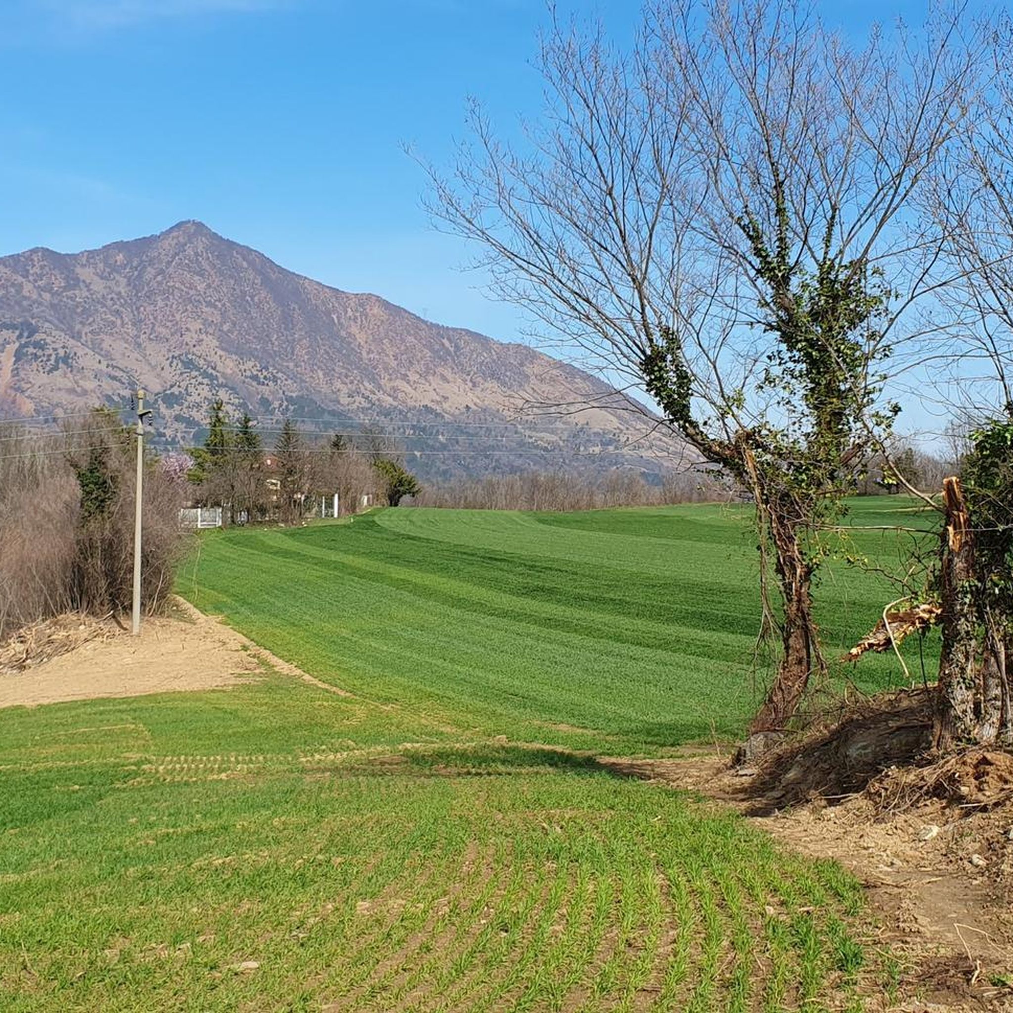
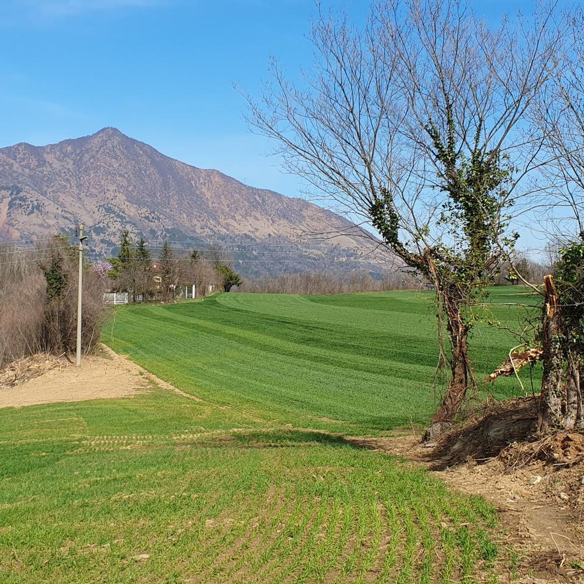
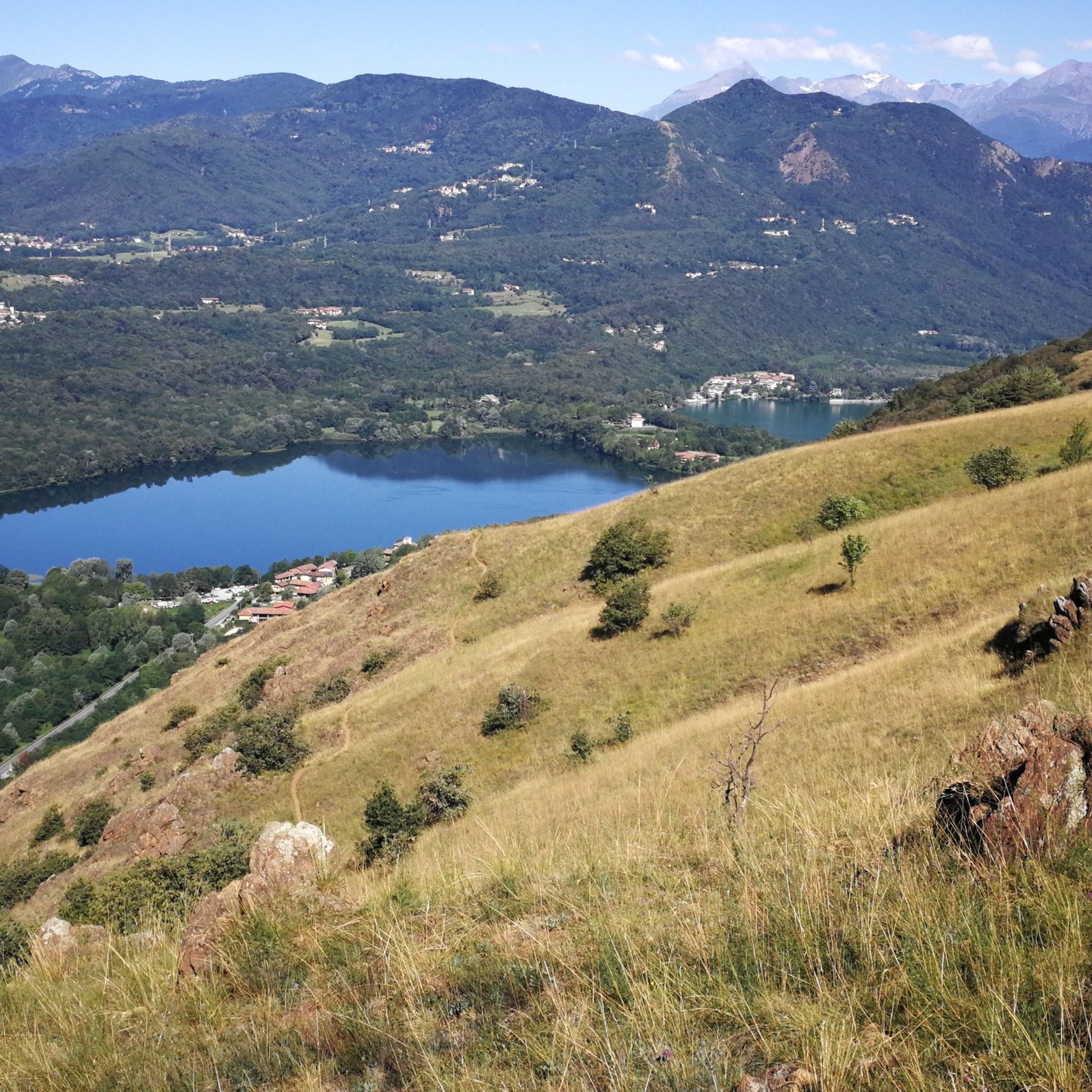
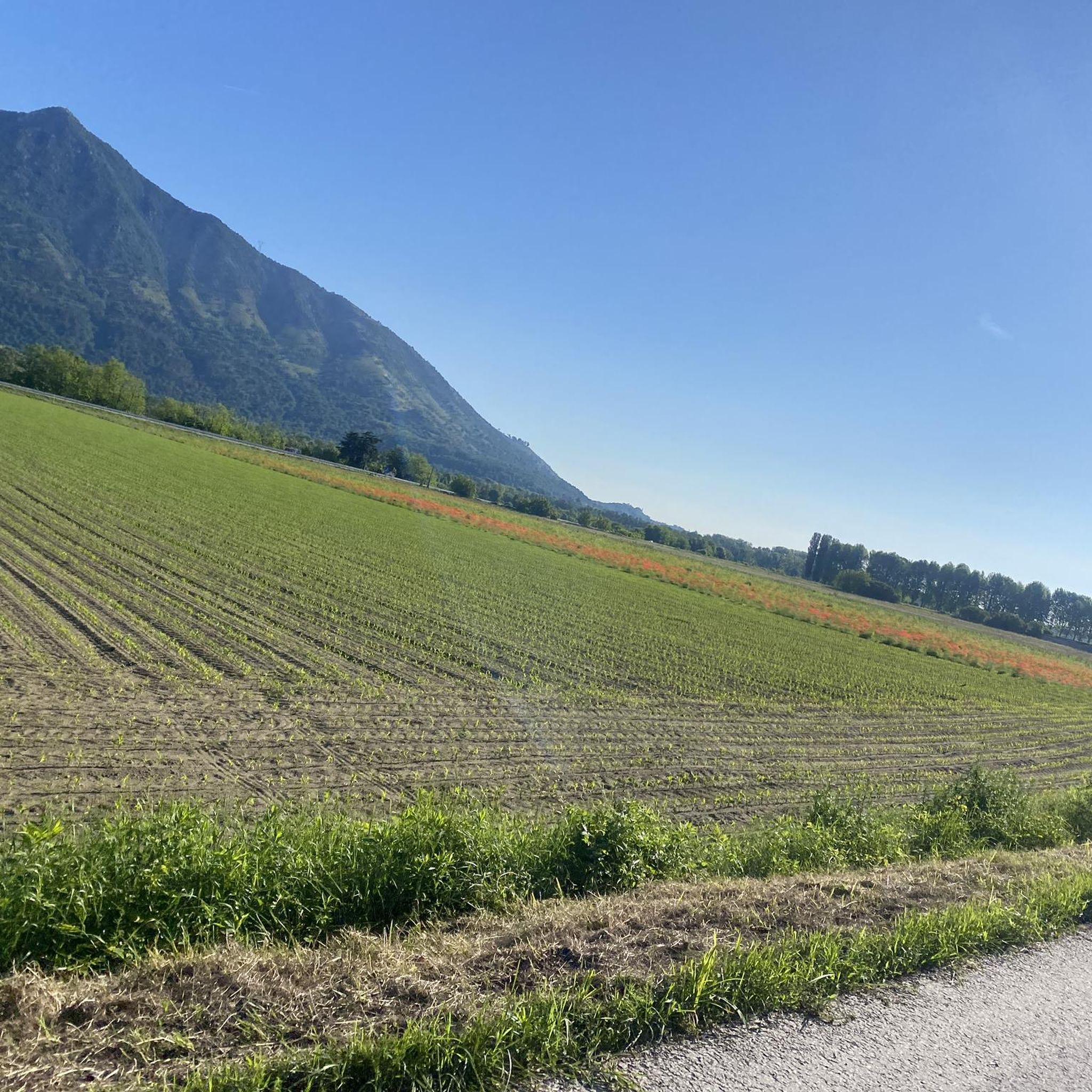
Hiking around Buttigliera Alta offers diverse terrain characterized by mountainous landscapes and morainic hills, which are ancient glacial deposits. The region features varied forests and scenic views over the Lakes of Avigliana and Val Sangone. This topography provides a range of elevations and natural backdrops for outdoor exploration.
Best hiking trails around Buttigliera Alta
- The most popular hiking route is Forest – Grassland Near Rosta loop from Buttigliera Alta, a 3.2 miles (5.2 km) trail that takes 1 hour…
Last updated: September 27, 2026
13.4km
03:38
140m
180m
Moderate hike. Good fitness required. Easily-accessible paths. Suitable for all skill levels.
4.3
(6)
13
hikers
11.2km
03:14
270m
270m
Moderate hike. Good fitness required. Mostly accessible paths. Sure-footedness required.

5.0
(1)
11
hikers
5.17km
01:23
60m
60m
Easy hike. Great for any fitness level. Easily-accessible paths. Suitable for all skill levels.
7
hikers
7.75km
02:14
180m
180m
Moderate hike. Good fitness required. Mostly accessible paths. Sure-footedness required.
4.5
(2)
6
hikers
7.64km
02:04
110m
110m
Moderate hike. Good fitness required. Easily-accessible paths. Suitable for all skill levels.
Get access to more routes and recommendations from other explorers.
Already have an account?
Our route recommendations are based on thousands of hikes, rides, and runs completed by other people on komoot.
Start today with a free account
Your next adventure awaits.


Tips from the Community

Beautiful roads with wonderful views.
0
0

Nice installation near the summit of Moncuni
1
0
Asphalted cycle/pedestrian road with final stretch, near S.Antonio di Ranverso, in cobblestones
0
0

The view of the Avigliana lakes is worth the hike, but it's not the best place for a quiet getaway, as it's always quite crowded with picnickers. The trail to get there is very easy.
1
0

Beautiful panoramic benches on the Moncuni ridge. Made of wood with sculptures on the back, they offer beautiful views of the Sangone and Susa Valleys.
1
0
Excellent road suitable for all types of bikes.
0
0

A must-see for everyone
0
0

The Gothic style facade is very beautiful, like the entire complex.
1
0
Frequently Asked Questions
How many hiking trails are available around Buttigliera Alta?
There are 16 hiking trails around Buttigliera Alta, offering a mix of easy and moderate options. Specifically, you'll find 7 easy routes and 9 moderate routes to explore.
Are there family-friendly hiking options in Buttigliera Alta?
Yes, Buttigliera Alta offers several easy trails suitable for families. For instance, the Forest – Grassland Near Rosta loop from Buttigliera Alta is an easy 3.2-mile (5.2 km) path through varied forest and grassland, perfect for a family outing.
Can I find circular hiking routes in the area?
Yes, many of the hiking routes around Buttigliera Alta are circular, allowing you to start and end at the same point. An example is the Pera Luvera Erratic Boulder – Roc del Picapera loop from Buttigliera Alta, which takes you through morainic hills and past notable boulders.
What kind of natural features or landmarks can I expect to see on hikes?
The region is characterized by mountainous landscapes, morainic hills, and varied forests. You can also enjoy scenic views over the Lakes of Avigliana and Val Sangone. Some routes, like the Dead Tree – Mount Cuneo (Moncuni) loop from Buttigliera Alta, offer views towards Mount Cuneo (Moncuni) and the Lakes of Avigliana.
Are there any challenging hikes near Buttigliera Alta?
While there are no routes classified as 'difficult' directly from Buttigliera Alta in our guide, there are 9 moderate routes that offer more of a challenge than the easy paths. These often involve greater elevation changes and longer distances, such as the Dead Tree – Mount Cuneo (Moncuni) loop from Buttigliera Alta, which covers 6.3 miles (10.1 km) with significant elevation gain.
What do other hikers enjoy most about hiking in Buttigliera Alta?
The area is highly rated by the komoot community, with an average score of 4.5 stars from over 2400 reviews. Hikers often praise the diverse terrain, from varied forests to morainic hills, and the scenic views over the Lakes of Avigliana and Val Sangone.
Are there hikes with panoramic views?
Yes, several routes offer excellent panoramic views. The Dead Tree – Mount Cuneo (Moncuni) loop from Buttigliera Alta provides fantastic views over the Lakes of Avigliana, Val Sangone, and even towards Turin on clear days. The ascent to the Sacra di San Michele, though not a specific route in this guide, is also known for its splendid valley views.
What is the typical duration for hikes around Buttigliera Alta?
Hike durations vary depending on the route's length and difficulty. Easy trails, like the Forest – Grassland Near Rosta loop from Buttigliera Alta (3.2 miles), typically take around 1 hour 23 minutes. Moderate routes, such as the Pera Luvera Erratic Boulder – Roc del Picapera loop from Buttigliera Alta (4.8 miles), can take about 2 hours 12 minutes.
Are there any pilgrimage routes in the area?
Yes, the area around Buttigliera Alta includes sections of historical pilgrimage routes, such as the Via Francigena, offering a cultural dimension to your outdoor experience.
What are the best seasons for hiking in Buttigliera Alta?
The diverse terrain of Buttigliera Alta, with its varied forests and morainic hills, makes it enjoyable across multiple seasons. Spring and autumn generally offer pleasant temperatures and beautiful scenery, while summer can be great for higher elevation routes. Winter hiking is also possible, though conditions may vary.
Can I find trails that pass by lakes or water features?
Yes, the region is close to the picturesque Lakes of Avigliana. Some routes, like the Dead Tree – Mount Cuneo (Moncuni) loop from Buttigliera Alta, offer views towards these lakes, providing beautiful waterside scenery during your hike.
Are there any easy trails for beginners or casual walkers?
Absolutely. Buttigliera Alta has 7 easy routes perfect for beginners or those looking for a relaxed walk. The Forest – Grassland Near Rosta loop from Buttigliera Alta is a great example, offering an accessible path through pleasant natural surroundings.
Most popular routes around Buttigliera Alta
Most popular attractions around Buttigliera Alta

Get inspired with the komoot mobile app


Explore more
Browse the best Hikes in other regions.
