The best running trails around Borgone Susa
4.4
(23)
1,852
runners
187
runs
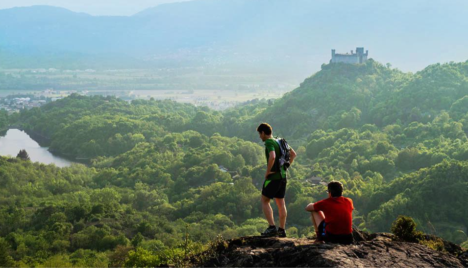
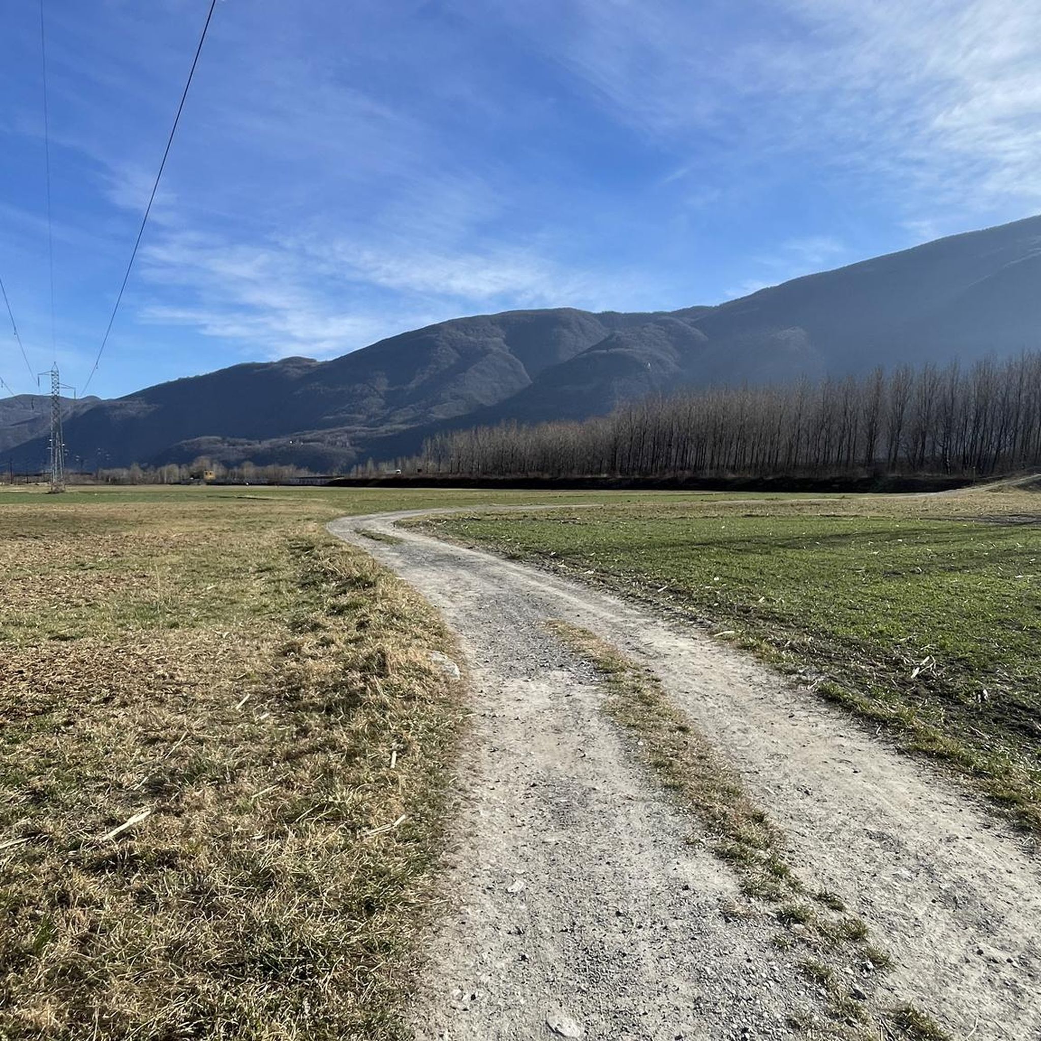
Jogging routes around Borgone Susa are set within the Val di Susa in Piedmont, Italy, offering a diverse landscape for runners. The region features mountainous terrain with surrounding hills, lush wooded areas, and paths along the Dora Riparia river. This varied topography provides options ranging from flatter, scenic runs to more challenging inclines through natural environments.
Best jogging routes around Borgone Susa
- The most popular jogging route is Running loop from Sant'Antonino - Vaie, a 3.9 miles (6.3 km)…
Last updated: May 20, 2026
32
runners
7.73km
00:58
230m
230m
Hard run. Good fitness required. Sure-footedness, sturdy shoes and alpine experience required.
5.0
(1)
14
runners
7.11km
00:46
30m
30m
Moderate run. Good fitness required. Mostly paved surfaces. Suitable for all skill levels.

Sign up for free
16
runners
8.91km
01:14
270m
270m
Hard run. Good fitness required. Sure-footedness, sturdy shoes and alpine experience required.
28
runners
22.9km
02:29
180m
180m
Hard run. Very good fitness required. Mostly paved surfaces. Suitable for all skill levels.
12
runners
14.0km
01:31
70m
70m
Moderate run. Good fitness required. Mostly paved surfaces. Suitable for all skill levels.
Get access to more routes and recommendations from other explorers.
Sign up for free
Already have an account?
Our route recommendations are based on thousands of hikes, rides, and runs completed by other people on komoot.
Start today with a free account
Your next adventure awaits.
Login or Signup


Other adventures around Borgone Susa

Tips from the Community

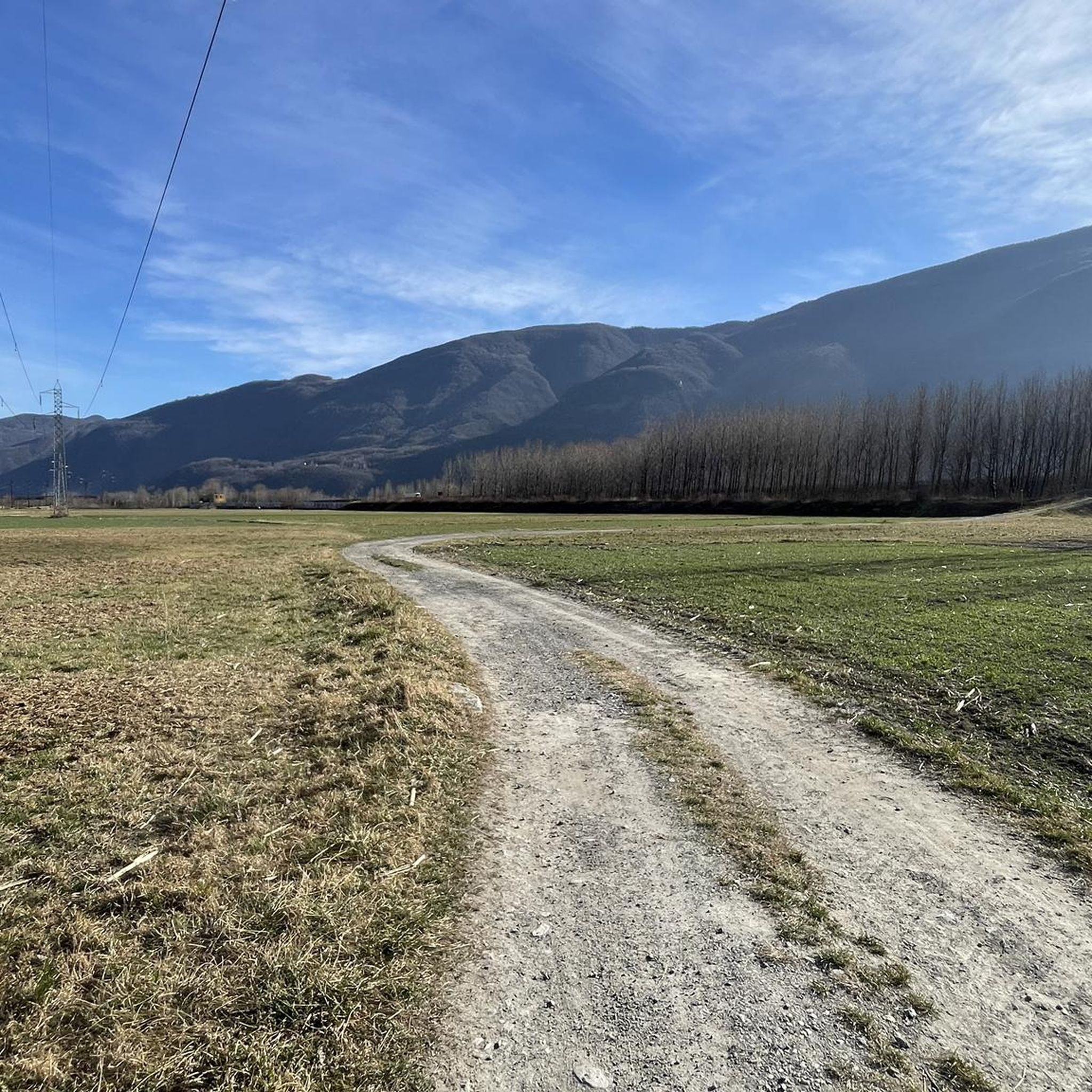
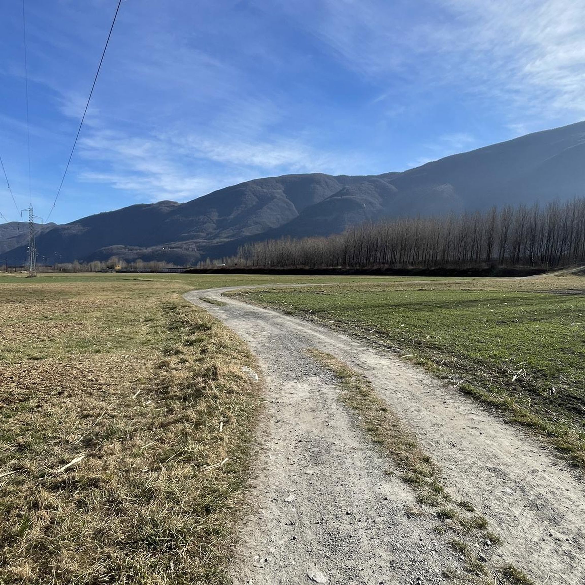
A very picturesque stretch of cycle path connecting Vaie to Chiusa San Michele.
1
0

The parish church of Sant'Antonino di Susa is one of the oldest in the Susa Valley. In fact, it is already mentioned in documents dating back to 1029. Over time it has undergone renovations and modernizations and today the bell tower is the only part that retains its original style.
1
0
Chiusa di San Michele is a small but charming village located at the gates of the Val di Susa in the province of Turin. One of the places of interest is certainly the church of San Pietro Apostolo, built between the end of the eighteenth century and the beginning of the nineteenth century in neoclassical style. From here, you can also see the Sacra di San Michele: the ancient abbey overlooks the village and stands on top of Mount Pirchiriano.
1
0
The Prehistory Laboratory Museum collects experimental reconstructions and casts of archaeological finds found in the Vaie area. Established in 2000, this museum is an interesting stop if you want to delve deeper into pre-protohistoric archaeology. It is also suitable for children and you can find more information (such as timetables and fares) on the website: https://www.museopreistoriavaie.it/
2
0

The Church is located in Chiusa San Michele. From here you can see the Sacra di San Michele.
0
0

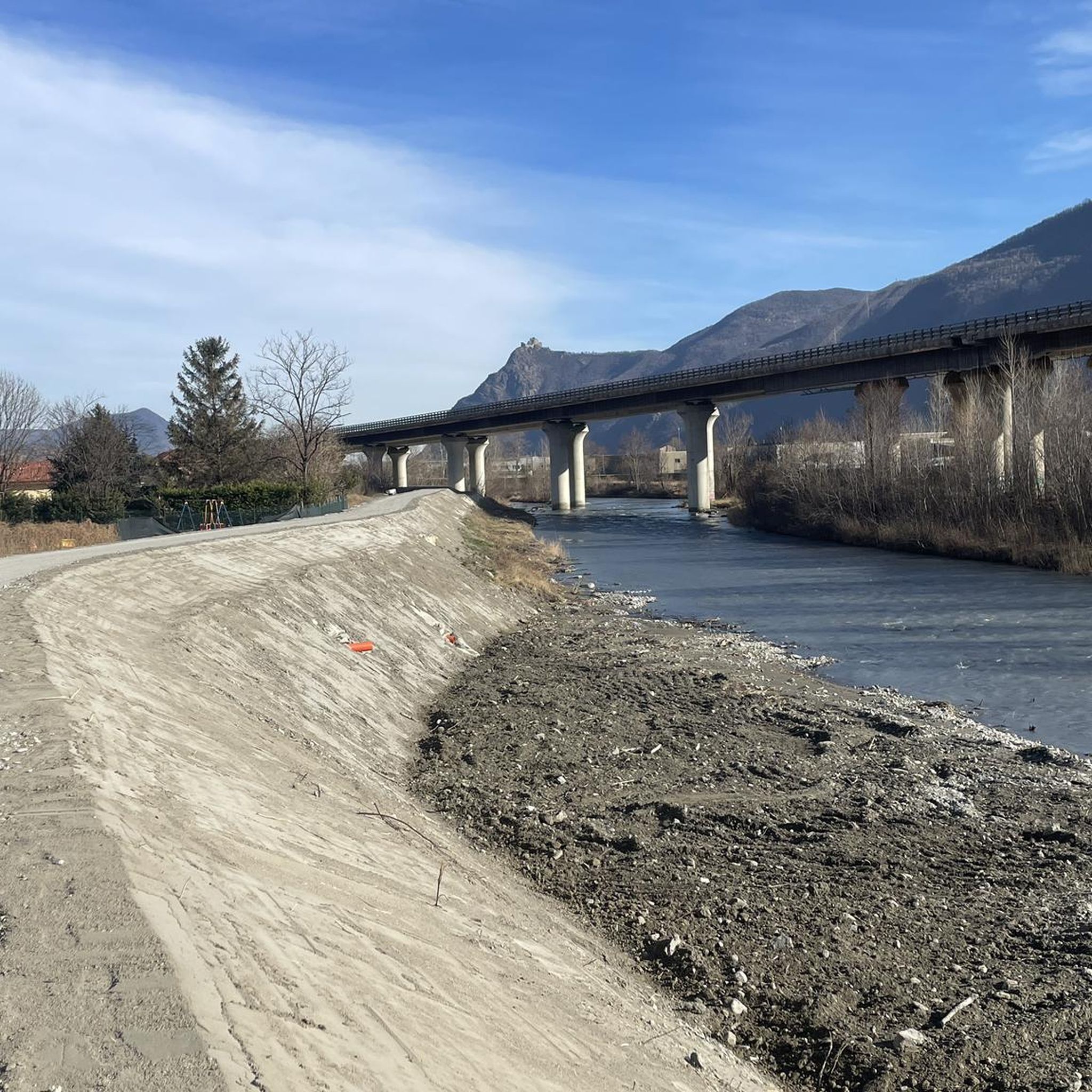
cyclostrada that connects the various villages of the valley
2
0
Building built between the end of the 18th and the beginning of the 19th century in neoclassical style. Next to it starts the path that leads to the Sacra di San Michele. It is located on the route of the Via Francigena / Val Susa cycle route, so it is on the road. Worth a stop.
0
0
Frequently Asked Questions
How many running routes are available around Borgone Susa?
There are over 180 running routes around Borgone Susa, offering a wide variety of options for different fitness levels and preferences. These include easy, moderate, and more challenging trails through the diverse landscapes of the Val di Susa.
What do other runners enjoy most about the trails in Borgone Susa?
The running routes in Borgone Susa are highly rated by the komoot community, with an average score of 4.5 stars from over 20 reviews. Runners often praise the diverse terrain, from flat riverside paths to wooded hills, and the stunning mountainous backdrops that make for a refreshing outdoor experience.
Are there any easy running routes suitable for beginners or a relaxed pace?
Yes, Borgone Susa offers several easy running routes. For a relatively flat and steady run, consider the Running loop from Sant'Antonino di Susa, which is 4.4 miles (7.1 km) long and features minimal elevation gain, making it ideal for a relaxed pace.
Can I find circular running routes in the area?
Absolutely. Many of the running paths around Borgone Susa are circular, allowing you to start and finish at the same point. A popular moderate option is the Running loop from Sant'Antonino - Vaie, which covers 3.9 miles (6.3 km) with varied terrain.
What kind of terrain can I expect on the running trails around Borgone Susa?
The terrain around Borgone Susa is quite varied. You'll find flatter sections along the Dora Riparia river, ideal for easier jogs, as well as more challenging inclines through lush wooded areas and on the surrounding hills. Some trails also offer stunning mountain views.
Are there any family-friendly running paths in Borgone Susa?
While specific 'family-friendly' designations aren't always explicit, routes with less elevation and through pleasant wooded areas or along the river are generally suitable. The Running loop from Sant'Antonino di Susa, being relatively flat, could be a good option for families looking for a steady run.
What interesting landmarks or natural features can I see while running?
The region is rich in both natural beauty and historical sites. You might encounter the ancient Via Francigena pilgrim route, pass through dense acacia forests, or spot historical structures like Il Castlas, a 14th-century tower. For a unique discovery, some trails lead to the curious 'Il Maometto' Bas-relief. You can also find mountain passes like Colle Braida or huts such as Amprimo Mountain Hut in the wider area.
Are there running routes that offer mountain views?
Yes, many trails in Borgone Susa provide refreshing mountain views. The town is nestled within the Val di Susa, surrounded by mountains of the Metropolitan City of Turin, so you'll often have panoramic vistas, especially on trails that gain some elevation.
Are there any longer running routes for more experienced runners?
For those seeking a longer challenge, the Lago Primavera – Mura longobarde loop from Sant'Antonino - Vaie is a moderate 8.4 miles (13.5 km) route. Another option is the Running loop from Borgone Susa, which is 7.3 miles (11.7 km) long.
Is there parking available near the running trails?
While specific parking details for every trailhead are not listed, Borgone Susa and nearby towns like Sant'Antonino di Susa typically offer public parking options. It's advisable to check local maps or komoot route details for parking suggestions near your chosen starting point.
What is the best time of year to go running in Borgone Susa?
Borgone Susa offers good running conditions for much of the year. Spring and autumn provide pleasant temperatures and beautiful scenery. Summer can be warm, so early morning or late afternoon runs are recommended. Even in winter, some lower-elevation routes can be accessible, though higher trails might require more preparation due to snow or ice.
Most popular routes around Borgone Susa
Most popular attractions around Borgone Susa

Get inspired with the komoot mobile app


Explore more
Browse the best Running Trails & Routes in other regions.
