The best running trails around Quarna Sotto
4.3
(138)
7,465
runners
251
runs
Jogging around Quarna Sotto offers routes through a mountain basin west of Lake Orta, characterized by extensive forests and varied terrain. The region features a network of trails that traverse alpine pastures and provide views of Lake Orta. This area is well-suited for running, with paths ranging from gentle forest routes to more challenging mountain trails. The landscape includes natural features like the Pescone Waterfall and small lakes, enhancing the outdoor experience.
Best jogging routes around Quarna Sotto
- The most…
Last updated: October 8, 2026
4.5
(2)
65
runners
11.8km
01:14
90m
90m
Moderate run. Good fitness required. Mostly paved surfaces. Suitable for all skill levels.
38
runners
17.9km
03:05
1,060m
1,060m
Hard run. Very good fitness required. Sure-footedness, sturdy shoes and alpine experience required.

34
runners
17.2km
02:29
610m
610m
Hard run. Very good fitness required. Sure-footedness, sturdy shoes and alpine experience required.
3.0
(1)
29
runners
20.1km
02:05
100m
100m
Hard run. Very good fitness required. Mostly paved surfaces. Suitable for all skill levels.
55
runners
17.5km
02:19
700m
700m
Hard run. Very good fitness required. Sure-footedness, sturdy shoes and alpine experience required.
Get access to more routes and recommendations from other explorers.
Already have an account?
Our route recommendations are based on thousands of hikes, rides, and runs completed by other people on komoot.
Start today with a free account
Your next adventure awaits.
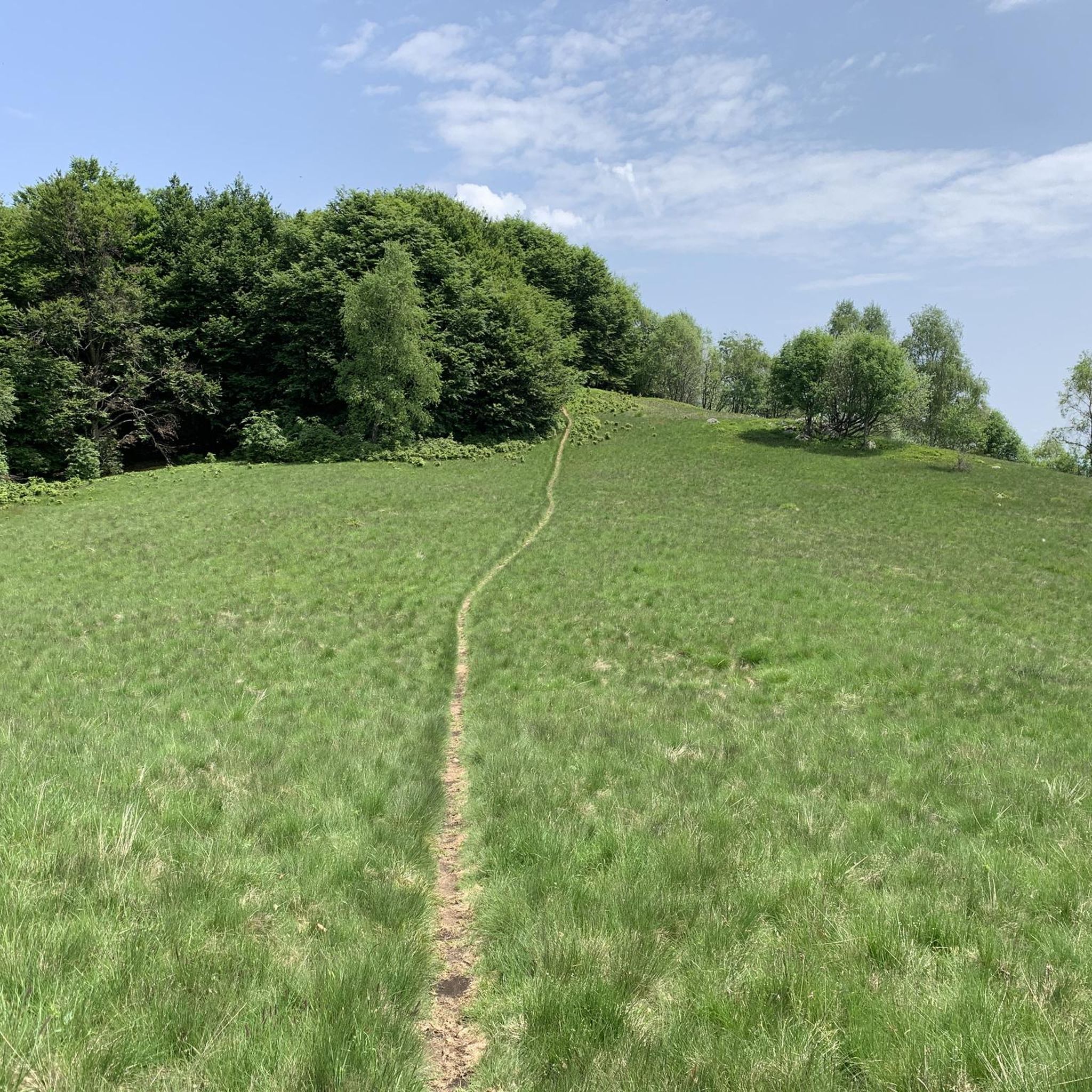
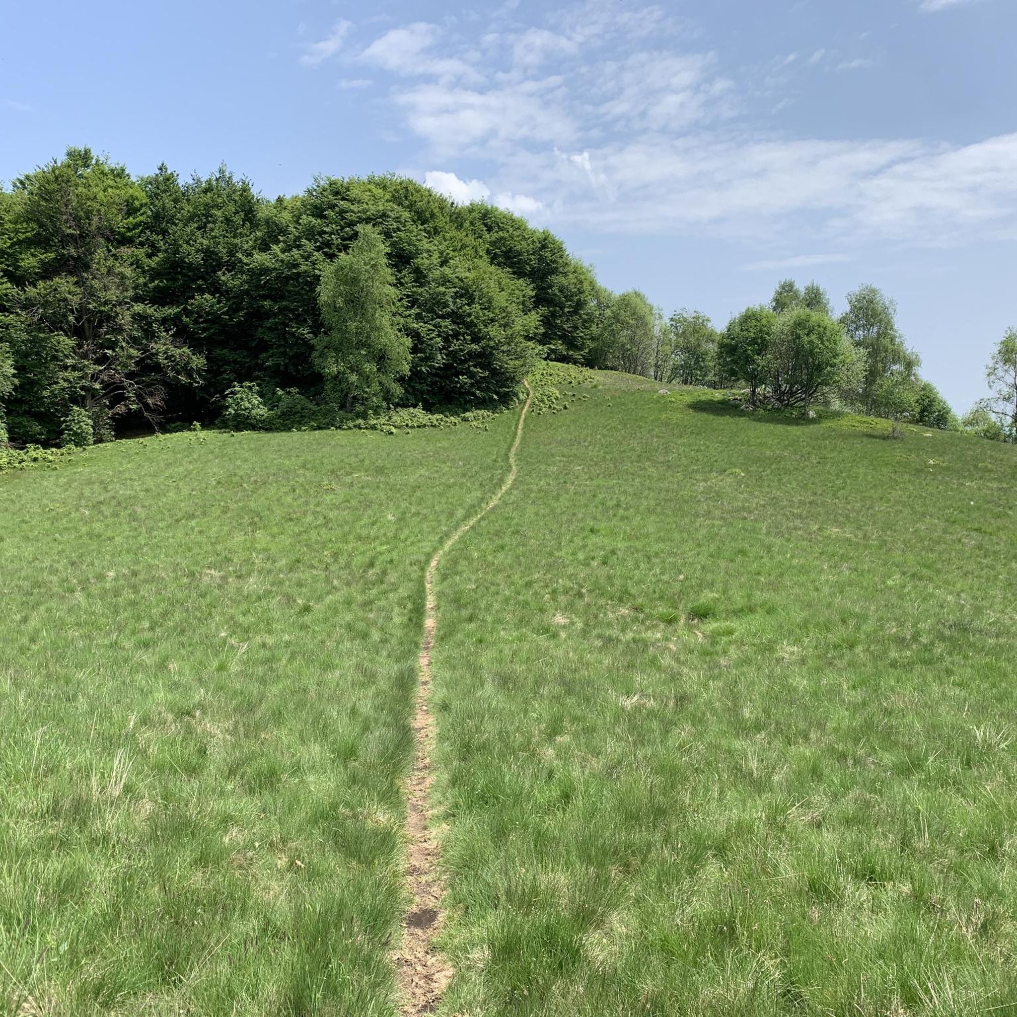
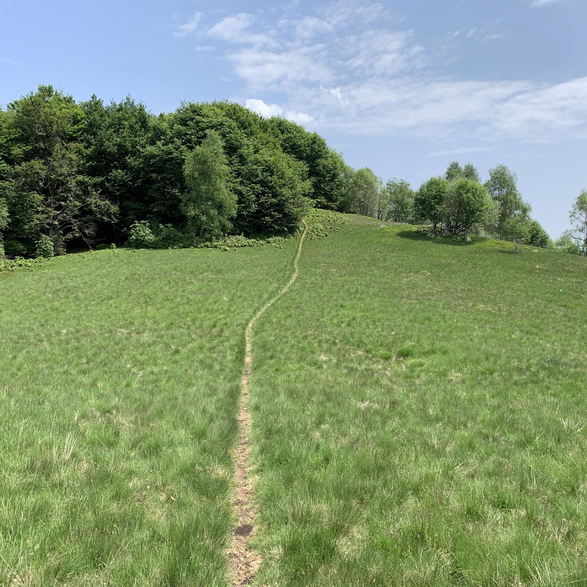
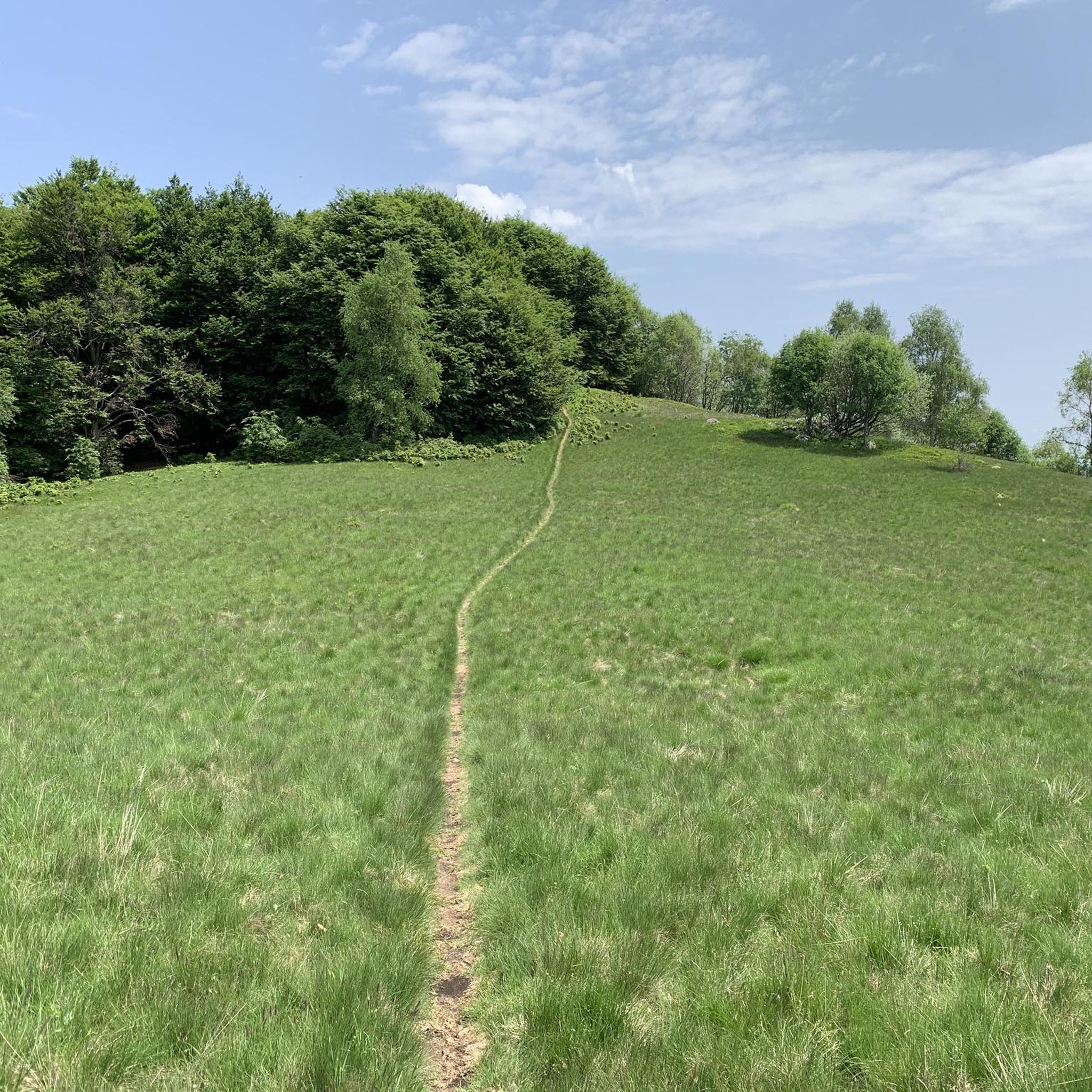

Tips from the Community


Laghetti di Nonio
6
0

Beautiful lake view, especially during sunset.
0
0

The photos, map and trails are not of Mount Sasso del Ferrero but of Mount Mazzuccone above Le Quarne in the province of VCO
0
0

Don't miss this superb hike -- it is, however, a bit challenging with rewarding slopes.
0
1

park on the lakeside of Omegna
0
1

Spectacular view, just before going up from Saccarello there are some chains that facilitate the more delicate passages of the path (nothing particularly technical or dangerous)
0
0

departure from the Camasca alp along a well-marked path, initially in the woods and then becoming a path that climbs up taking us to the top in about an hour, from here we continue towards the Turlo mass with a panoramic walk and an up and down almost all on the crest, in three hours total the climb is completed
0
0
Frequently Asked Questions
How many running routes are available around Quarna Sotto?
There are over 190 running routes around Quarna Sotto, offering a wide variety of options for all skill levels. You'll find everything from easy forest paths to more challenging mountain trails.
What kind of terrain can I expect on the jogging routes in Quarna Sotto?
The terrain around Quarna Sotto is quite varied, ranging from extensive forests and alpine pastures to paths along the western shore of Lake Orta. You can expect a mix of natural surfaces, including dirt trails, gravel paths, and potentially some paved sections, especially closer to the lakefront areas. The region is characterized by its mountainous basin landscape.
Are there any easy running routes suitable for beginners or a relaxed jog?
Yes, Quarna Sotto offers several easy running routes. There are 9 routes specifically categorized as easy, perfect for beginners or those looking for a more relaxed pace through the beautiful natural surroundings. These often traverse gentler forest paths.
What are some scenic points or landmarks I might encounter while running near Quarna Sotto?
Jogging routes in the area often provide breathtaking panoramic views of Lake Orta, especially from locations like Quarna Sopra's Belvedere. You might also encounter natural features such as the refreshing Pescone Waterfall and small, relaxing lakes. Historically, there are also 32 rural chapels scattered across the municipal territory and alpine pastures, and the ancient water mill of Batíne, which add cultural interest to your run.
Are there any routes that offer views of Lake Orta or Lake Mergozzo?
Absolutely. Many routes in the region provide stunning views of both Lake Orta and Lake Mergozzo. For instance, the View of Lake Orta and the town of Omegna – Bagnella Lakeside loop from Nonio offers great lake views. Another option is the Lago di Mergozzo Cycle Path – Bagnella Lakeside loop from Omegna, which also features scenic lakefront sections.
Is Quarna Sotto a good destination for trail running?
Yes, Quarna Sotto is an excellent destination for trail running. The region's mountainous terrain, extensive forests, and well-established network of trails are ideal for the sport. Local organizations like "Quarna outdoor" actively promote trail running and trekking, even organizing races, which speaks to the quality and suitability of the trails for runners.
What is the best time of year to go jogging in Quarna Sotto?
Quarna Sotto generally enjoys a mild climate, making it suitable for outdoor activities for much of the year. Spring and autumn offer pleasant temperatures and vibrant scenery, while summer provides longer daylight hours. Even in winter, the region can be beautiful, though some higher elevation trails might be less accessible depending on snow conditions.
Are the running routes around Quarna Sotto suitable for families?
Many of the easier and moderate routes through forests and along lakefronts are suitable for families. The varied terrain means you can choose paths that are less strenuous and offer beautiful, safe environments for a family jog or walk. Always check the route's difficulty and length to ensure it matches your family's capabilities.
Can I bring my dog on the running trails in Quarna Sotto?
Generally, the natural trails and paths in the Quarna Sotto area are dog-friendly, allowing you to enjoy a run with your canine companion. However, it's always advisable to keep your dog on a leash, especially in more populated areas or near wildlife, and to be mindful of local regulations and other trail users.
What do other runners say about jogging in Quarna Sotto?
The running routes in Quarna Sotto are highly rated by the komoot community, with an average score of 4.2 stars from over 70 reviews. Runners often praise the diverse terrain, the stunning panoramic views of Lake Orta, and the peaceful, natural environment of the forests and alpine pastures.
Are there options for public transport to reach the jogging routes?
While Quarna Sotto is nestled in a mountain basin, local bus services might connect to nearby towns like Omegna, which is a common starting point for some lakefront routes. For specific trailheads, personal transport is often the most convenient option, but checking local bus schedules for connections to the broader Lake Orta area is recommended.
Where can I find parking for the running trails in Quarna Sotto?
Parking is generally available in the villages of Quarna Sotto and Quarna Sopra, as well as at common starting points for popular trails. Look for designated parking areas near trailheads or in village centers. It's always a good idea to arrive early during peak seasons to secure a spot.
Are there any permits required for running on the trails in Quarna Sotto?
No specific permits are generally required for recreational running or hiking on the public trails around Quarna Sotto. The area is open for outdoor enthusiasts to explore freely. However, always respect private property and any posted signs.
Most popular routes around Quarna Sotto
Most popular attractions around Quarna Sotto

Get inspired with the komoot mobile app


Explore more
Browse the best Running Trails & Routes in other regions.
