The best walks and hikes around Quarna Sotto
4.4
(4258)
18,060
hikers
16
hikes
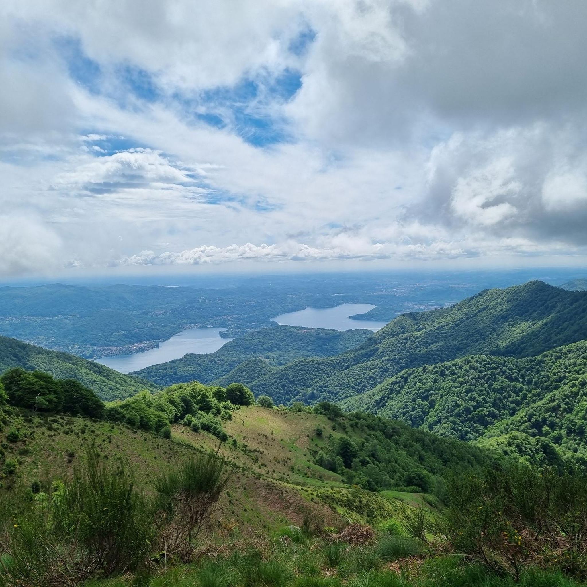
Hiking around Quarna Sotto offers exploration within a mountain basin west of Lake Orta, characterized by expansive woods and mountain pastures. The region features diverse terrain, including alpine pastures, rocky areas, and dense forests of maple and chestnut trees. Hikers can encounter panoramic mountain views, including vistas over Lake Orta, and natural attractions like the Pescone Waterfall and small lakes such as Vorio and Laghetti di Nonio. This varied landscape provides a range of hiking experiences.
Best hiking trails around…
Last updated: October 10, 2026
5.0
(1)
2
hikers
20.3km
07:12
930m
940m
Hike the difficult T22: Laghetti di Nonio - Monte Croce Trail for 12.6 miles (20.3 km) and enjoy panoramic views over Lake Orta.
4.0
(1)
1
hikers
9.34km
03:01
430m
420m
Hike the moderate Alpe Camasca Trail T20b, a 5.8-mile route through Piedmont's alpine pastures with panoramic views.

4.2
(13)
87
hikers
14.8km
05:37
840m
840m
Hard hike. Very good fitness required. Mostly accessible paths. Sure-footedness required.
4.3
(10)
76
hikers
6.83km
03:01
470m
480m
Moderate hike. Good fitness required. Mostly accessible paths. Sure-footedness required.
5.0
(8)
46
hikers
11.9km
03:27
310m
300m
Moderate hike. Good fitness required. Mostly accessible paths. Sure-footedness required.
Get access to more routes and recommendations from other explorers.
Already have an account?
Our route recommendations are based on thousands of hikes, rides, and runs completed by other people on komoot.
Start today with a free account
Your next adventure awaits.

Tips from the Community

Laghetti di Nonio
6
0

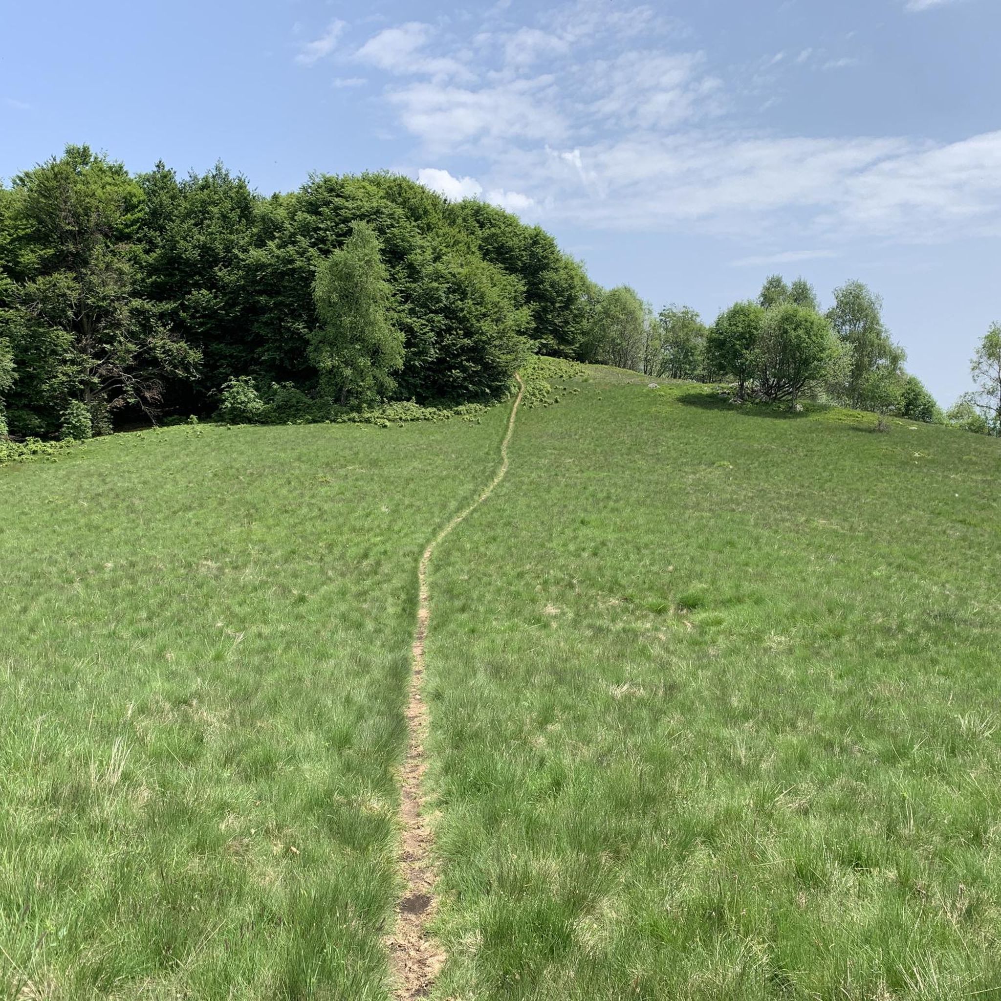
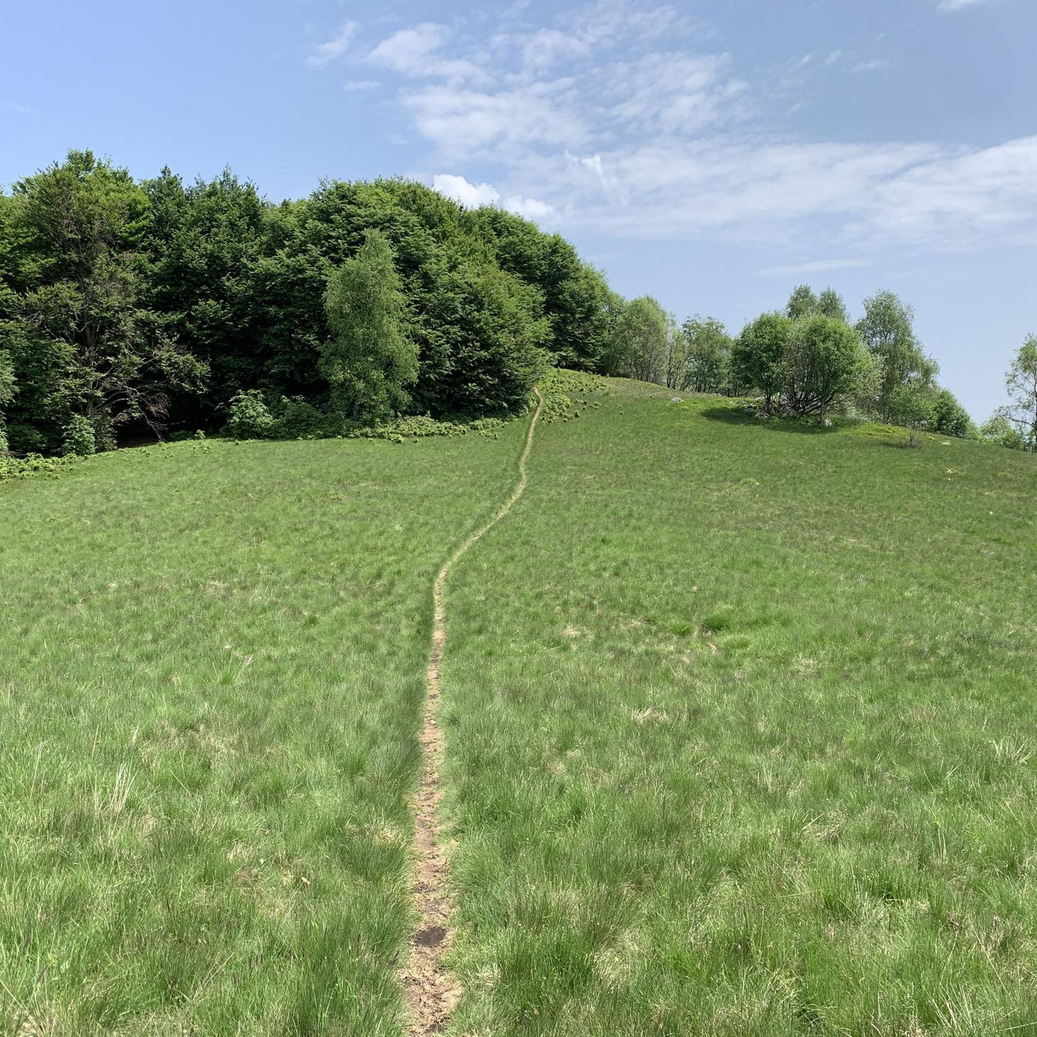
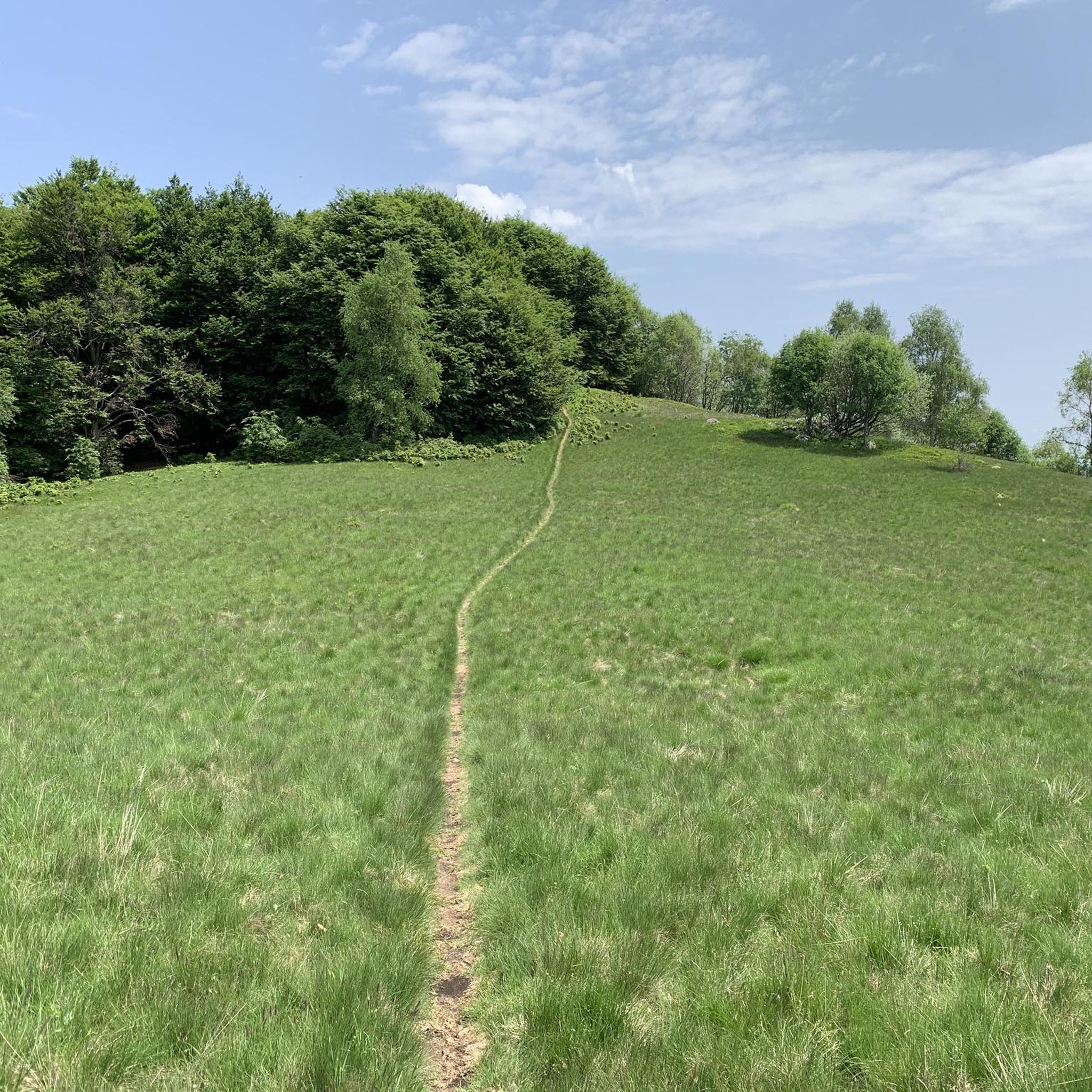
departure from the Camasca alp along a well-marked path, initially in the woods and then becoming a path that climbs up taking us to the top in about an hour, from here we continue towards the Turlo mass with a panoramic walk and an up and down almost all on the crest, in three hours total the climb is completed
0
0


Beautiful panoramic point and a place to rest for a picnic
0
0

Alpeggio easily reachable by car, starting point for many excursions of all levels, from short walks to more challenging walks in the pre-Alps on the border with Vallestrona and Valsesia
1
0

At the lakes we find the Osteria Rifugio del Pescatore, managed by the Nonio Hunters and Fishermen Association, an excellent refreshment point and just above the inn there is a large car park where you can leave your cars and a small picnic area with a small playground (excellent for spending a summer afternoon for families with children)
0
0


Lake for sport fishing in the municipality of Nonio (VB)
0
0
Frequently Asked Questions
What types of hiking trails can I find around Quarna Sotto?
Quarna Sotto offers a diverse range of hiking trails, from easy paths suitable for beginners to more challenging treks. The landscape features expansive woods, mountain pastures, rocky areas, and dense forests of maple and chestnut trees. You'll find routes with panoramic mountain views, including vistas over Lake Orta, and trails that pass by natural attractions like the Pescone Waterfall and small lakes.
Are there any easy hiking routes suitable for families or beginners?
Yes, Quarna Sotto has several easy routes. Out of nearly 20 available hikes, 4 are classified as easy, making them suitable for families or those new to hiking. These trails often traverse gentle terrain through woods and pastures, providing a pleasant outdoor experience.
What are some notable natural attractions to see while hiking in the area?
Hikers can discover several natural attractions. The Pescone Waterfall is a notable spot with suggestive small waterfalls, perfect for relaxing. You might also encounter relaxing small lakes, such as the artificial lake of Vorio and the Laghetti di Nonio. For stunning views, many trails offer panoramic vistas over Lake Orta, and you can even find a highlight like the View from Mottarone Summit nearby.
Can I find circular hiking routes around Quarna Sotto?
Yes, circular routes are a popular option in the area. For example, the "Ring of Quarna" connects Quarna Sotto, Quarna Sopra, and Laghetti di Nonio, offering a panoramic trek. Another popular option is the Alpe Ruschini – Monte Croce Summit loop from Quarna Sotto, which leads through dense forests and towards summit views.
What do other hikers enjoy most about the trails in Quarna Sotto?
The hiking trails around Quarna Sotto are highly rated by the komoot community, with an average score of 4.5 stars from over 3800 reviews. Hikers frequently praise the varied terrain, from dense woodlands to alpine pastures, and the stunning panoramic views, especially those overlooking Lake Orta. The well-maintained paths and the sense of immersion in nature are also commonly highlighted.
Are there any historical or cultural points of interest along the hiking trails?
Beyond natural beauty, some trails in the area are linked to episodes of the Resistance during World War II, adding a historical dimension. Quarna Sotto is also known as the "village of music" for its wind instrument crafting tradition, and the Ethnographic and Wind Musical Instrument Museum is located here. You can also visit the nearby Sacro Monte of Orta, a religious complex overlooking Orta San Giulio.
What is the best time of year to go hiking in Quarna Sotto?
The region around Quarna Sotto generally enjoys a mild climate, making it suitable for hiking across much of the year. Spring and autumn offer pleasant temperatures and vibrant scenery with blooming flowers or colorful foliage. Summer is also popular, though some higher altitude trails might be more exposed. Winter hiking is possible, but conditions can vary, especially at higher elevations, so checking local weather is always recommended.
Are there any challenging hikes for experienced trekkers?
Absolutely. For experienced trekkers, there are 4 difficult routes available. A notable challenging option is the T22: Laghetti di Nonio - Monte Croce Trail, a 20.3 km route that takes over 7 hours to complete and offers panoramic views over Lake Orta. Another demanding trail is the Alpe Camasca (1,230 m) – Monte Croce Summit loop from Alpe Camasca.
What kind of terrain should I expect on the trails?
The trails around Quarna Sotto offer diverse terrain. You can expect to traverse through dense forests of maple and chestnut trees, open alpine pastures, and some rocky sections, particularly on more challenging routes. This variety ensures an engaging and visually rewarding hiking experience, with constant changes in scenery.
Are there any other interesting places to explore near Quarna Sotto after a hike?
Yes, Quarna Sotto is well-situated for exploring other regional highlights. The beautiful, pedestrianized historic center of Orta San Giulio is a short distance away, where you can also take a boat to the island of San Giulio. The Santuario Madonna del Sasso is another nearby religious site with impressive views. For more extensive outdoor exploration, the Val Grande National Park is also within reach.
How many hiking routes are available in total around Quarna Sotto?
There are nearly 20 distinct hiking routes available around Quarna Sotto, catering to various skill levels. These include 4 easy, 11 moderate, and 4 difficult trails, ensuring options for every type of hiker.
Is there a trail that offers a good mix of scenery and a moderate challenge?
For a moderate challenge with varied scenery, consider the Alpe Camasca Trail T20b. This 9.3 km path winds through alpine pastures and offers a good balance of effort and reward, typically taking around 3 hours to complete.
Most popular routes around Quarna Sotto
Most popular attractions around Quarna Sotto

Get inspired with the komoot mobile app


Explore more
Browse the best Hikes in other regions.
