The best walks and hikes around Montacuto
4.4
(651)
2,500
hikers
256
hikes
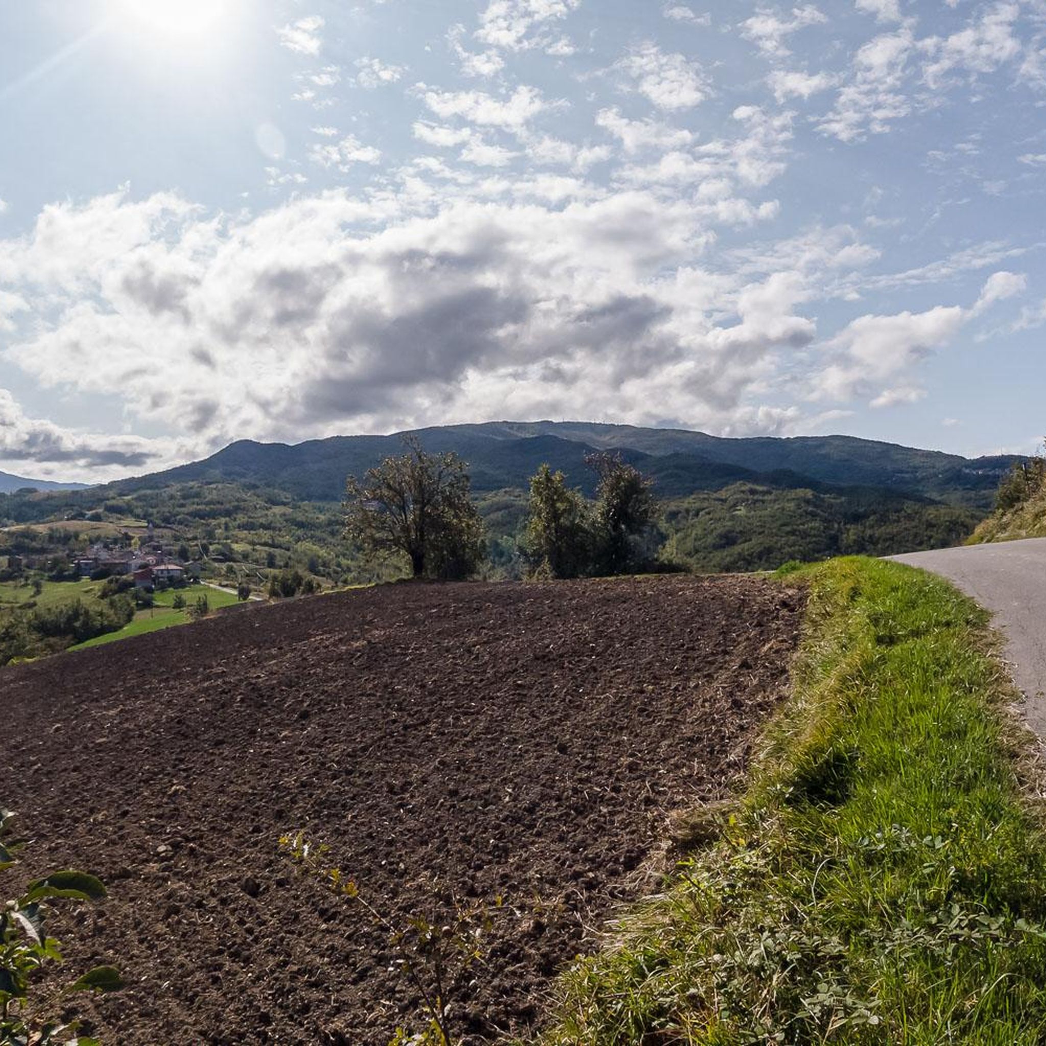
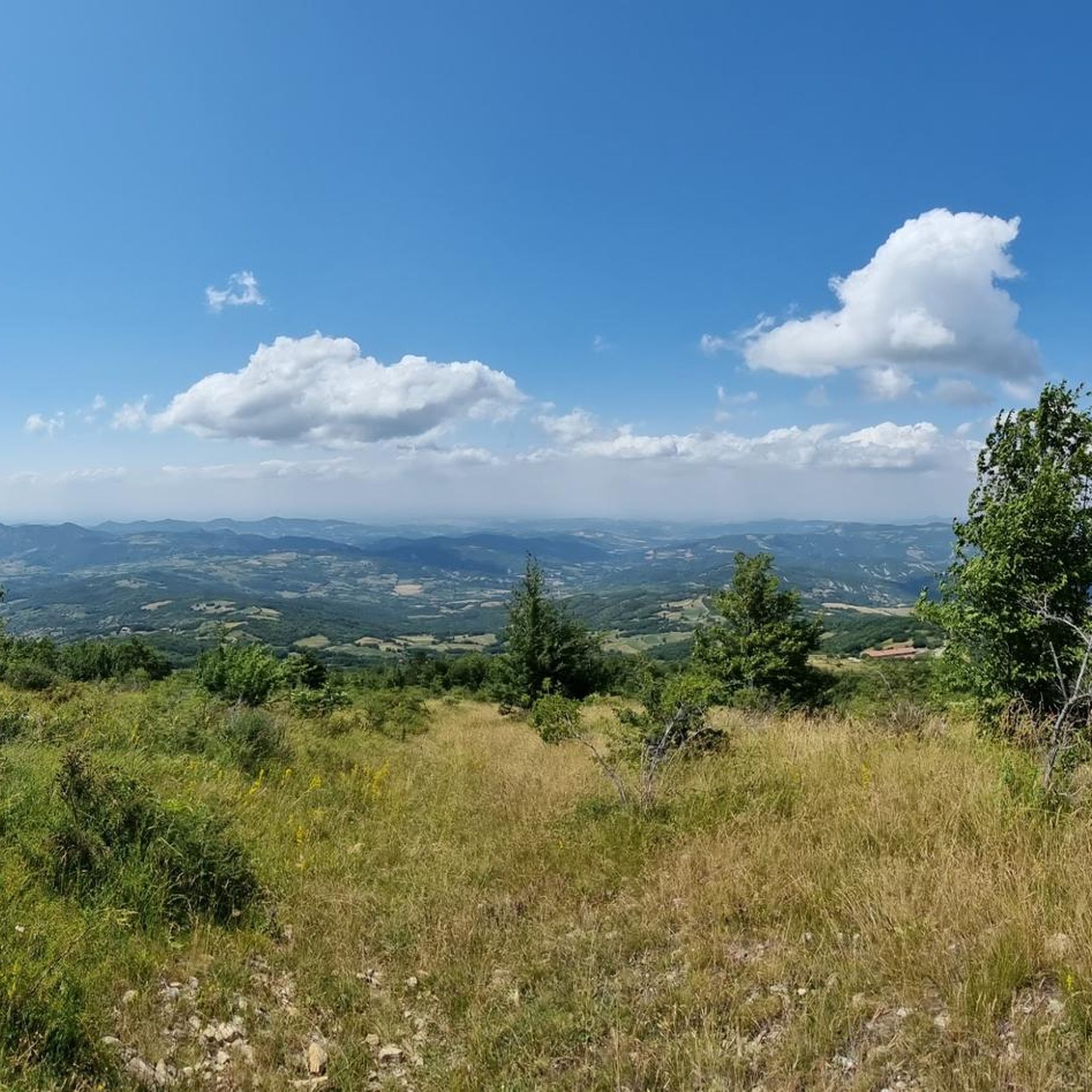
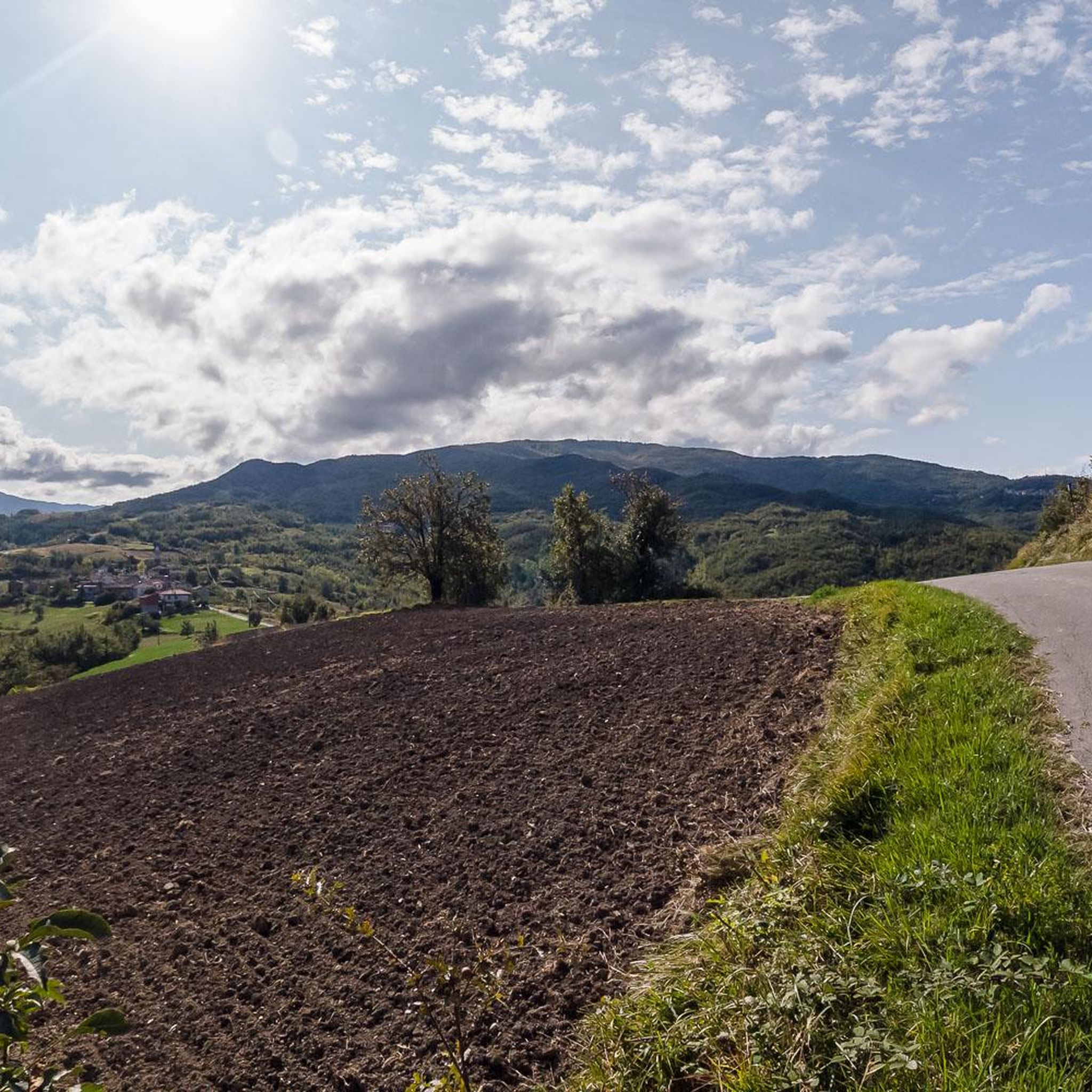
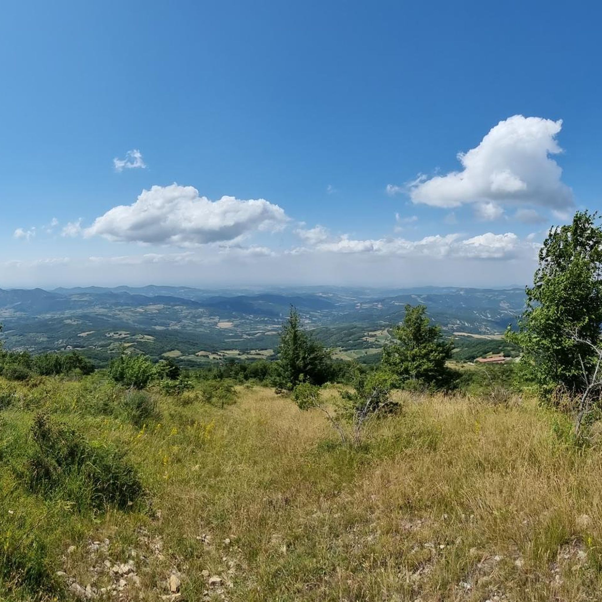
Hiking around Montacuto, located in Italy's Piedmont region, offers diverse terrain for outdoor enthusiasts. The landscape transitions from cultivated fields to expansive woods and pastures, with the prominent Monte Giarolo shaping the local topography. Trails ascend through rich woodlands, beech forests, and grazing lands, providing varied environments for exploration. The communal territory extends up to Monte Giarolo, characterized by dense woods and open pastures.
Best hiking trails around Montacuto
- The most popular hiking route is Monte Giarolo — Ring Tour…
Last updated: July 1, 2026
4.8
(12)
34
hikers
8.27km
03:00
520m
520m
Moderate hike. Good fitness required. Easily-accessible paths. Suitable for all skill levels.
4.2
(5)
8
hikers
16.7km
05:53
770m
770m
This difficult 10.4-mile (16.7 km) hiking loop to Monte Ebro and Monte Cosfrone offers panoramic views and diverse terrain.

Sign up for free
5
hikers
9.33km
03:14
500m
500m
Historic fountain trail connecting eight ancient water sources through Caldirola's mountain heritage.
16.6km
05:13
650m
650m
Hike the Curone Valley Walk to San Sebastiano Curone (via Trail 155), a difficult 10.3-mile route with 2139 feet of elevation gain.
4.6
(22)
136
hikers
11.1km
03:53
540m
540m
Moderate hike. Good fitness required. Mostly accessible paths. Sure-footedness required.
Get access to more routes and recommendations from other explorers.
Sign up for free
Already have an account?
Our route recommendations are based on thousands of hikes, rides, and runs completed by other people on komoot.
Start today with a free account
Your next adventure awaits.
Login or Signup

Tips from the Community

The Rifugio Monte Elfo is a small hiking refuge in the Ligurian-Piedmontese Apennines, located in the surroundings of Pian del Poggio and the Monte Ebro / Monte Chiappo area. It appears in various trekking and MTB itineraries in the area of Caldirola and Pian del Poggio.
12
0

Each of these crosses, which travelers often encounter in the fields or, as here, on mountain peaks, is a reminder of the crucifixion and resurrection of Jesus Christ. “Here on earth, His memory exists, but in the Kingdom of Heaven is His presence: this presence is the joy of those who have already attained salvation. Remembrance is our comfort, we who are still wanderers, traveling toward our homeland.” (Saint Bernard of Clairvaux, c. 1090–1153)
0
0
Up here, on Monte Giarolo, the hiker won't find the classic summit cross that crowns many mountains. Instead, on a pedestal divided into two sections, stands the figure of the Risen Christ, adorned with a cross. Christ raises one arm in greeting—or rather, in blessing—and with the other, he embraces the cross, that gruesome symbol of suffering and death, which, through his resurrection, he transformed into a glorious symbol of victory over death.
0
0

At 1,473 meters above sea level, the peak of Mount Giarolo is on the so-called Ligurian Apennines but in the province of Alessandria, Piedmont. It is the northernmost point of the Antola chain and divides the Borbera and Curone valleys. On the summit there is a statue of Christ the Redeemer.
1
0

This mountain rises to 1667 meters, marking the border between the municipalities of Cabella Ligure and Fabbrica Curone, in the province of Alessandria. A curious detail is that on different maps its name changes: some call it Monte Oserone, others even Monte Coserone, but the correct name is Monte Cosfrone.
2
0
Mount Ebro (1700 m above sea level) is the most beautiful and panoramic mountain of the entire Ántola chain, and one of the most beautiful and panoramic of the entire Ligurian Apennines. It is a gigantic pyramid, mostly grassy, that rises on the watershed between Borbera and Curone, a short distance from the important node of Mount Chiappo. The slopes of the mountain are generally wide and slightly sloping, covered by thick woods at lower altitudes, and meadows above 1400-1500 meters. The imposing southern slope is an exception, which towers, very high and steep, over the village of Aie di Cósola.
4
0
The Feast of the Redeemer has been celebrated on Mount Giarolo since the beginning of the last century, when the first statue of the Redeemer was erected on August 11, 1901 (replaced with the new one exactly one hundred years later) in order to celebrate the 19th centenary of the birth of Christ. It was inaugurated by the Bishop of Tortona who, for the occasion, promoted a diocesan pilgrimage in which approximately 12,000 faithful participated. Since then, every year on the first Sunday of August tourists and faithful go to the top of the mountain to renew the tradition.
3
0

Very panoramic view of the Curone valley and the plain. Access is easy even if the last stretch is quite steep
1
0
Frequently Asked Questions
How many hiking trails are available around Montacuto?
There are over 230 hiking routes around Montacuto, offering a wide range of options for different skill levels and preferences. You'll find everything from easy strolls to challenging mountain ascents.
What kind of landscapes can I expect to see while hiking in Montacuto?
Hiking in Montacuto offers a diverse landscape experience. Trails transition from cultivated fields to expansive woods, beech forests, and open pastures. The prominent Monte Giarolo shapes the local topography, providing varied environments and panoramic views as you gain elevation.
Are there any challenging hikes for experienced trekkers?
Yes, Montacuto offers several challenging routes. For instance, the Caldirola, Monte Giarolo, and Monte Ebro Loop is a difficult 16.7 km path that traverses varied environments with significant elevation gain. The Montacuto Ring Trail is also classified as 'E' (for experienced hikers) by the Italian Alpine Club (CAI).
What are some notable landmarks or viewpoints along the trails?
A significant landmark is the Statue of Christ the Redeemer on Monte Giarolo, which offers panoramic views of the surrounding pristine landscape. You can reach this via routes like the Monte Giarolo — Ring Tour. Other peaks like Monte Ebro also provide excellent viewpoints.
Are there any circular walks available in Montacuto?
Yes, many routes in Montacuto are designed as circular walks. A popular option is the Monte Giarolo — Ring Tour, a moderate 8.3 km trail. Another is the Caldirola Fountain Trail (Anello delle fontane), which is a moderate 9.3 km loop.
What do other hikers enjoy most about hiking in Montacuto?
The area is highly rated by the komoot community, with an average score of 4.4 stars from over 500 reviews. Reviewers often praise the tranquil, uncontaminated natural setting, the diverse terrain, and the panoramic views from peaks like Monte Giarolo.
Are there any huts or refuges along the hiking trails?
Yes, there are several huts and refuges in the Montacuto area that can serve as rest stops or overnight accommodation. Notable options include Rifugio Monte Chiappo and Capanne di Cosola.
What is the best time of year to go hiking in Montacuto?
Montacuto offers beautiful hiking experiences across multiple seasons. Spring and autumn generally provide pleasant temperatures and vibrant scenery, with autumn showcasing rich colors in the beech forests. Summer is also suitable, especially for higher elevations, but can be warmer.
Are there any trails that lead through the Curone Valley?
Yes, the region is nestled in the Val Curone. You can explore this area with routes such as the Curone Valley Walk to San Sebastiano Curone (via Trail 155), a difficult 16.6 km route that allows you to experience the valley's natural beauty.
What is the typical duration for a moderate hike in Montacuto?
For moderate hikes in Montacuto, you can generally expect durations ranging from 3 to 4 hours. For example, the Monte Giarolo — Ring Tour typically takes about 3 hours to complete, while the Caldirola Fountain Trail is around 3 hours and 14 minutes.
Are there options for other outdoor activities besides hiking?
Beyond dedicated hiking paths, the Montacuto area and its surroundings are also suitable for other outdoor activities, including mountain biking and trail running, thanks to its varied terrain and extensive network of trails.
Most popular attractions around Montacuto

Get inspired with the komoot mobile app


Explore more
Browse the best Hikes in other regions.
