The best walks and hikes around Brignano-Frascata
4.5
(559)
1,756
hikers
207
hikes
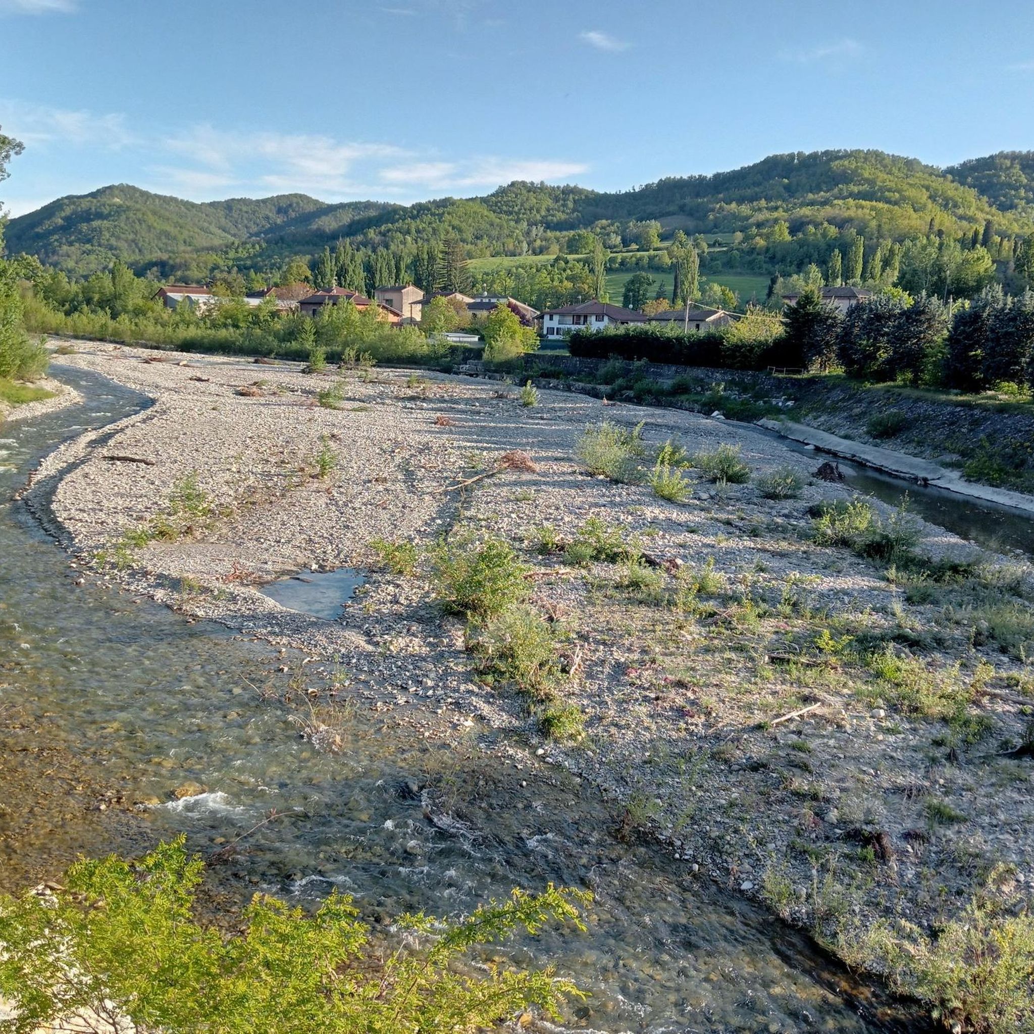
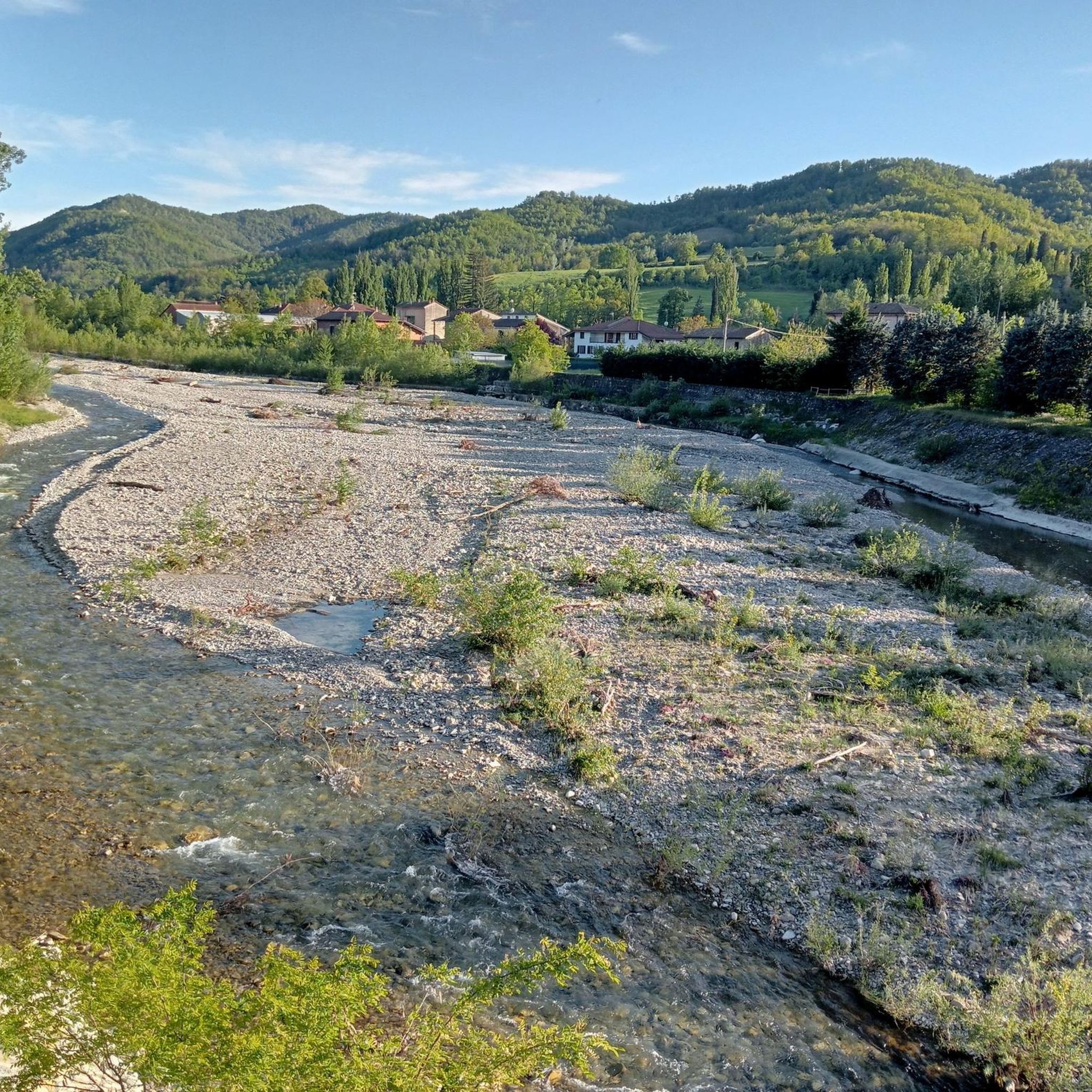
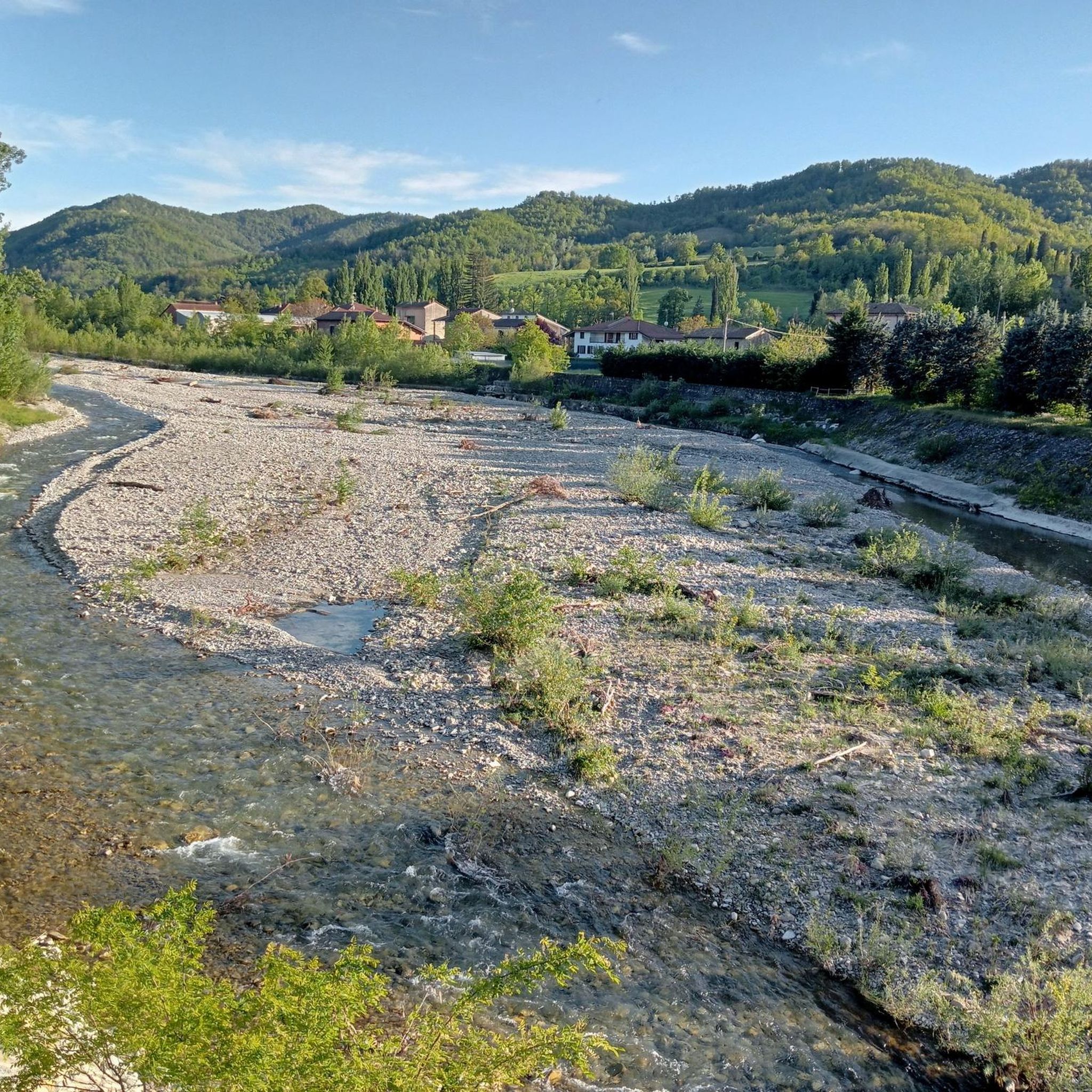
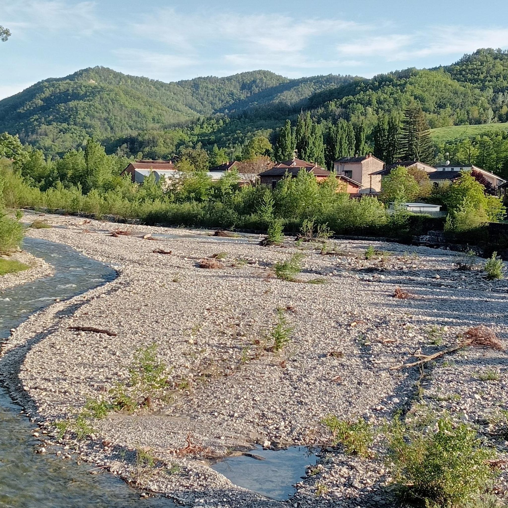
Hiking around Brignano-Frascata explores the varied terrain of the Curone Valley, characterized by agricultural landscapes, vineyards, and rolling hills. The area features the Curone stream and offers views of historical elements like the Castello di Spinetta Spinola. Trails often traverse rural paths and forested sections, providing diverse walking experiences.
Best hiking trails around Brignano-Frascata
- The most popular hiking route is Serra del Monte to Paragliding Launch (via Trail 103), a 3.0 miles (4.9 km) trail that takes 1 hour…
Last updated: October 24, 2026
1
hikers
4.90km
01:31
180m
180m
Forest trail to a paragliding launch with sweeping views from Piedmont plains to Alpine peaks.
4.3
(8)
24
hikers
3.83km
01:04
80m
80m
Easy hike. Easily walkable paths.

4.0
(1)
5
hikers
7.21km
02:11
240m
240m
Moderate hike. Good fitness required. Easily walkable paths.
4.8
(4)
6
hikers
8.29km
02:42
310m
310m
Moderate hike. Good fitness required. Mostly walkable paths. Sure-footedness required.
5.0
(1)
4
hikers
6.39km
01:51
170m
170m
Easy hike. Easily walkable paths.
Get access to more routes and recommendations from other explorers.
Already have an account?
Our route recommendations are based on thousands of hikes, rides, and runs completed by other people on komoot.
Start today with a free account
Your next adventure awaits.

Tips from the Community

Dernice is a municipality in the high Monferrato hills on the western slopes of Mount Giarolo. The town sits atop a hill at the intersection of three valleys (Val Borbera, Val Grue, and Val Curone).
18
0

the chapel, linked to a vow made by a believer, is located high on the ridge that forms the border between the provinces of Pavia and Alessandria
0
0

Panoramic point used as a launch pad for paragliders. View that extends over the plain to the Alpine arc!
2
0
360° view of the territory; very ancient tower; Dernice was part of the anti-barbarian alignment desired and implemented by the Emperor of the Western Roman Empire Constantius III, and which started from ancient Libarna. https://fondoambiente.it/luoghi/torre-di-dernice?ldc
2
0

Structure dedicated to teaching, dissemination and observation of the sky. The complex is composed of a central dome with 36 seats which houses the Planetarium, two lateral domes and an outdoor amphitheater with 200 seats. The structure, owned by the Oltrepò Pavese Mountain Community, was inaugurated in 2008 and is named after G. Giacomotti. The educational-scientific management of the structure has been entrusted to the Tethys Amateur Astronomers Association. (Source: https://www.observatoriocadelmonte.it/)
1
0
The "Grande Vecchio" is a centuries-old tree near the caves of San Ponzo Semola. It is located half-hidden among the other plants on the plateau which houses the caves and the small Sanctuary. A rather battered plaque (and without the installation date) indicates an age of 370 years and an almost illegible caption. Further details are welcome
0
0

Excavated over millions of years by water infiltrations, the San Ponzo Caves became famous for the discovery of the Saint, the famous miracle worker. The first of the two caves, from which a spring flows, has been transformed into an oratory.
0
0
Ca’ del Monte è un posto magico sulle dolci colline dell’Oltrepo. Situato su di un altopiano a 700 mt di quota, fra la valle Staffora e la val Curone, al confine fra Lombardia e Piemonte.
19
1
Frequently Asked Questions
What kind of terrain can I expect on hikes around Brignano-Frascata?
The hiking trails around Brignano-Frascata traverse a varied landscape. You'll find agricultural areas with vineyards and fruit cultivations, rolling hills, and riparian sections along the Curone stream. Many routes also lead through forested areas, offering a mix of open views and shaded paths.
Are there easy hiking options suitable for beginners in Brignano-Frascata?
Yes, Brignano-Frascata offers a good selection of easy hikes. Out of 170 available routes, 44 are classified as easy. An example is the Serra del Monte to Paragliding Launch (via Trail 103), which is 3.0 miles (4.9 km) long and takes about 1 hour 31 minutes.
What historical landmarks or natural features can I see while hiking?
The region is rich in history and natural beauty. You can explore the medieval Castello di Spinetta Spinola, which dominates the town from a hillside, or visit the Hermitage of St. Albert of Butrio. Natural features include the scenic Curone stream and the picturesque agricultural landscapes with vineyards. Other notable points of interest nearby include the Guardamonte Rock Outcrops.
Are there any circular hiking routes available?
Yes, many routes around Brignano-Frascata are designed as loops. For instance, the San Ponzo Chapel – San Ponzo Cave loop from Moglia is a moderate 4.9 miles (7.9 km) path that includes historical points of interest. Another option is the Viewpoint over the Staffora Valley loop from Cecima.
What is the best time of year to go hiking in Brignano-Frascata?
Spring is particularly beautiful for hiking in Brignano-Frascata, as the agricultural landscapes, vineyards, and fruit cultivations are vibrant. The mild weather of spring and autumn generally offers comfortable conditions for exploring the trails. Summer can be warm, but shaded routes provide relief, while winter offers a different, tranquil experience.
Are the hiking trails around Brignano-Frascata suitable for families with children?
Yes, the area offers family-friendly options, especially among the 44 easy routes. The varied terrain and historical elements can make for an engaging experience for children. Consider shorter, less strenuous loops that allow for stops to explore the natural surroundings or historical sites.
Can I bring my dog on the hiking trails?
Generally, dogs are welcome on most hiking trails in the Brignano-Frascata area. However, it's always advisable to keep your dog on a leash, especially in agricultural areas, near livestock, or in protected natural spaces. Always carry water for your pet and clean up after them.
What do other hikers enjoy most about hiking in Brignano-Frascata?
The area is highly rated by the komoot community, with an average score of 4.4 stars from nearly 400 reviews. Reviewers often praise the tranquil rural setting, the picturesque vineyards, and the blend of natural beauty with historical charm, such as the views of the Castello di Spinetta Spinola.
Is there parking available at the trailheads?
While specific parking details vary by trailhead, Brignano-Frascata is a rural area, and parking is generally available in or near the villages that serve as starting points for many hikes. It's recommended to check the specific route details on komoot for information on parking facilities close to your chosen starting point.
Are there any cafes or places to eat near the hiking routes?
Brignano-Frascata is a quaint agricultural town, and you can find local cafes and eateries within the village itself. Many routes pass through or near small towns and hamlets in the Curone Valley where you can find refreshments or a meal after your hike. It's a good idea to check local opening hours, especially in smaller villages.
How many hiking routes are there in total around Brignano-Frascata?
There are over 170 hiking routes available around Brignano-Frascata, catering to various skill levels. This includes 44 easy routes, 105 moderate routes, and 21 difficult routes, offering plenty of options for exploration.
Are there any viewpoints offering panoramic scenery?
Yes, the rolling hills and elevated positions around Brignano-Frascata offer several scenic viewpoints. For example, the Viewpoint over the Staffora Valley loop from Cecima provides expansive views. The Castello di Spinetta Spinola also offers commanding views of the surrounding valley and agricultural landscapes.
Most popular routes around Brignano-Frascata
Most popular attractions around Brignano-Frascata

Get inspired with the komoot mobile app


Explore more
Browse the best Hikes in other regions.
