The best walks and hikes around Castelletto D'Erro
4.5
(400)
1,601
hikers
135
hikes
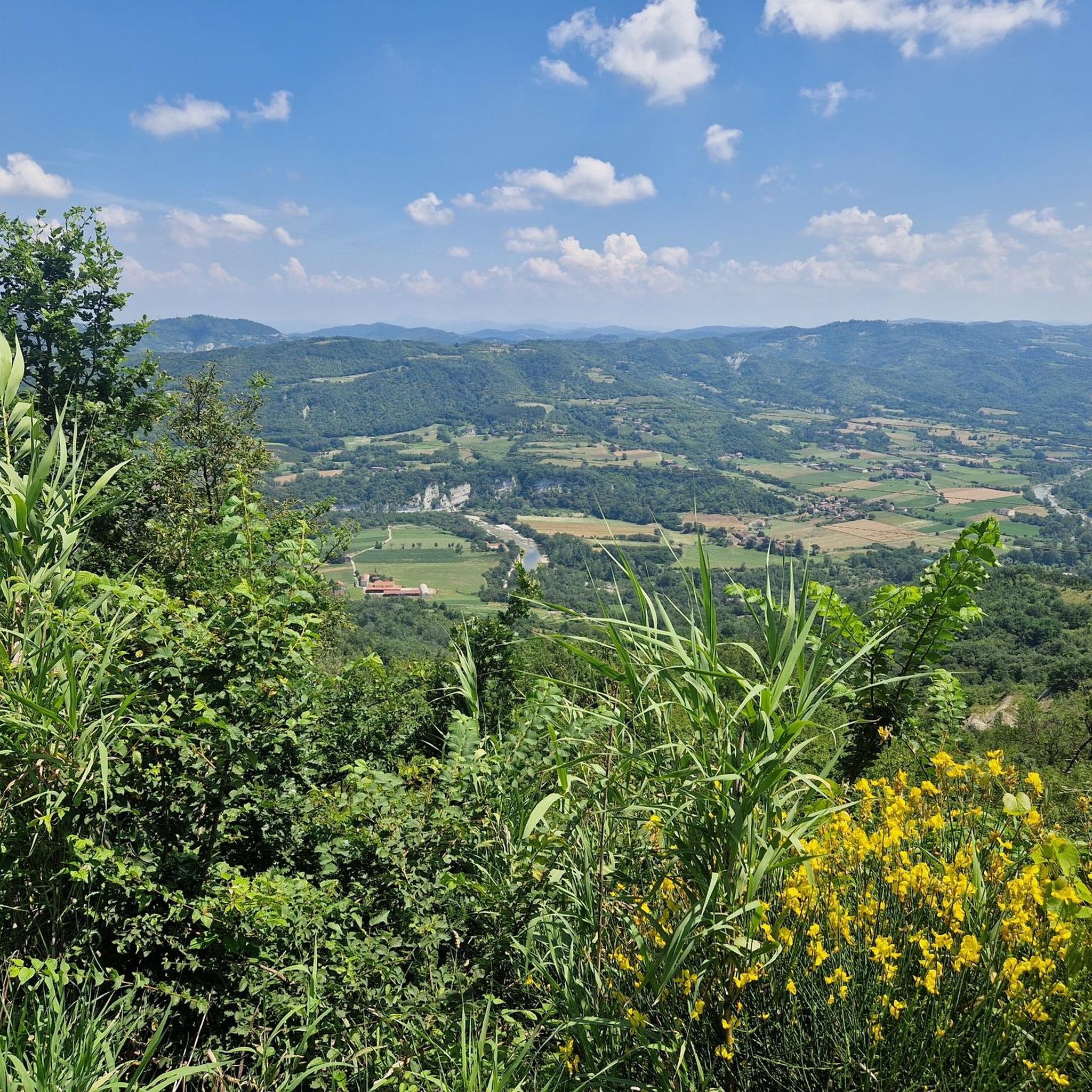
Hiking around Castelletto D'Erro offers routes through the rolling hills of Italy's Alto Monferrato region, characterized by extensive vineyards and verdant fields. The landscape provides panoramic views of these characteristic vineyards and, on clear days, the distant peaks of the Alpine arc. The area also features the Bormida Valley, with trails winding through its scenic hills and past country churches.
Best hiking trails in Castelletto D'Erro
- The most popular hiking route is Ponti and Castelletto d'Erro Loop, a 5.4…
Last updated: June 23, 2026
4.5
(8)
31
hikers
8.64km
02:43
330m
330m
Embark on the Ponti and Castelletto d'Erro Loop, a moderate hike that takes you through the picturesque rolling hills of Piedmont. This circular route covers 5.4 miles (8.6 km) and…
4.5
(4)
15
hikers
16.4km
04:49
450m
450m
Moderate hike. Good fitness required. Easily-accessible paths. Suitable for all skill levels.

Sign up for free
4.9
(7)
17
hikers
4.78km
01:29
180m
180m
Embark on the Castelletto d'Erro Loop Trail, an easy hiking route that guides you through the picturesque rolling hills of Piedmont. This 3.0-mile (4.8 km) journey involves a gentle ascent…
4.7
(6)
14
hikers
18.8km
05:36
570m
570m
Hike the difficult 11.7-mile Rural Churches Trail 571 through Monferrato, featuring panoramic views and ancient churches.
5.0
(1)
6
hikers
15.7km
04:29
360m
360m
Hilltop loop from historic railway station through vineyards to panoramic views over Piedmont's rolling hills.
Get access to more routes and recommendations from other explorers.
Sign up for free
Already have an account?
Our route recommendations are based on thousands of hikes, rides, and runs completed by other people on komoot.
Start today with a free account
Your next adventure awaits.
Login or Signup

Tips from the Community

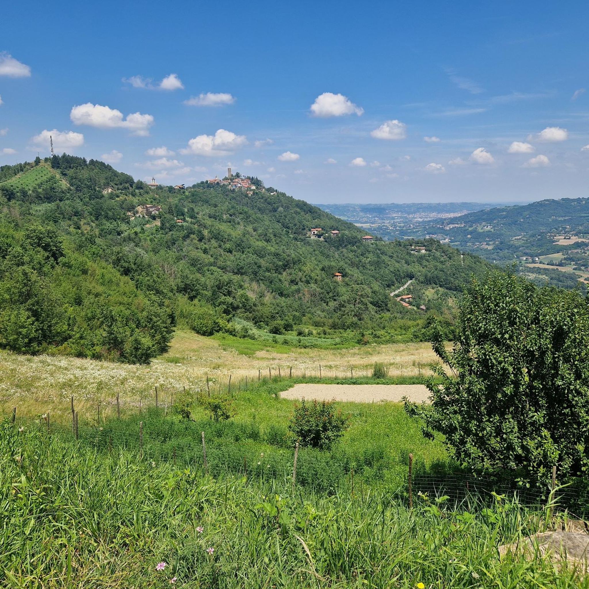
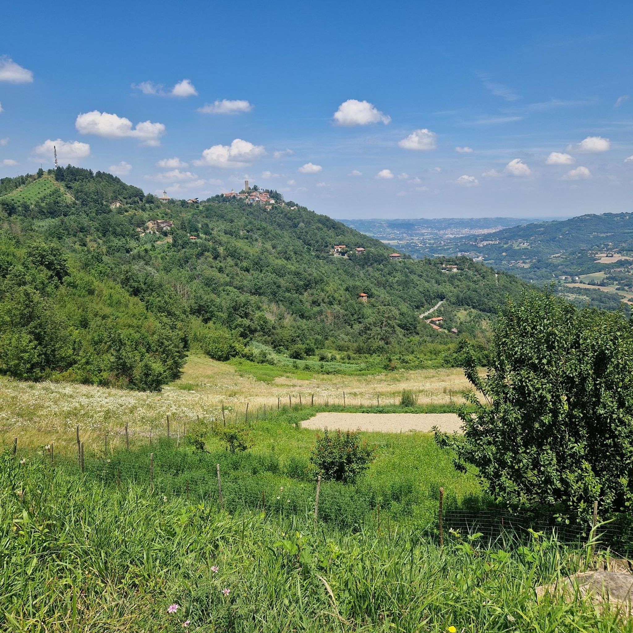
Splendid panoramic view from the small town of Castelletto d'Erro in the province of Alessandria.
0
0
Excellent point for a stop in which to catch your breath and in the meantime admire the view.
1
1
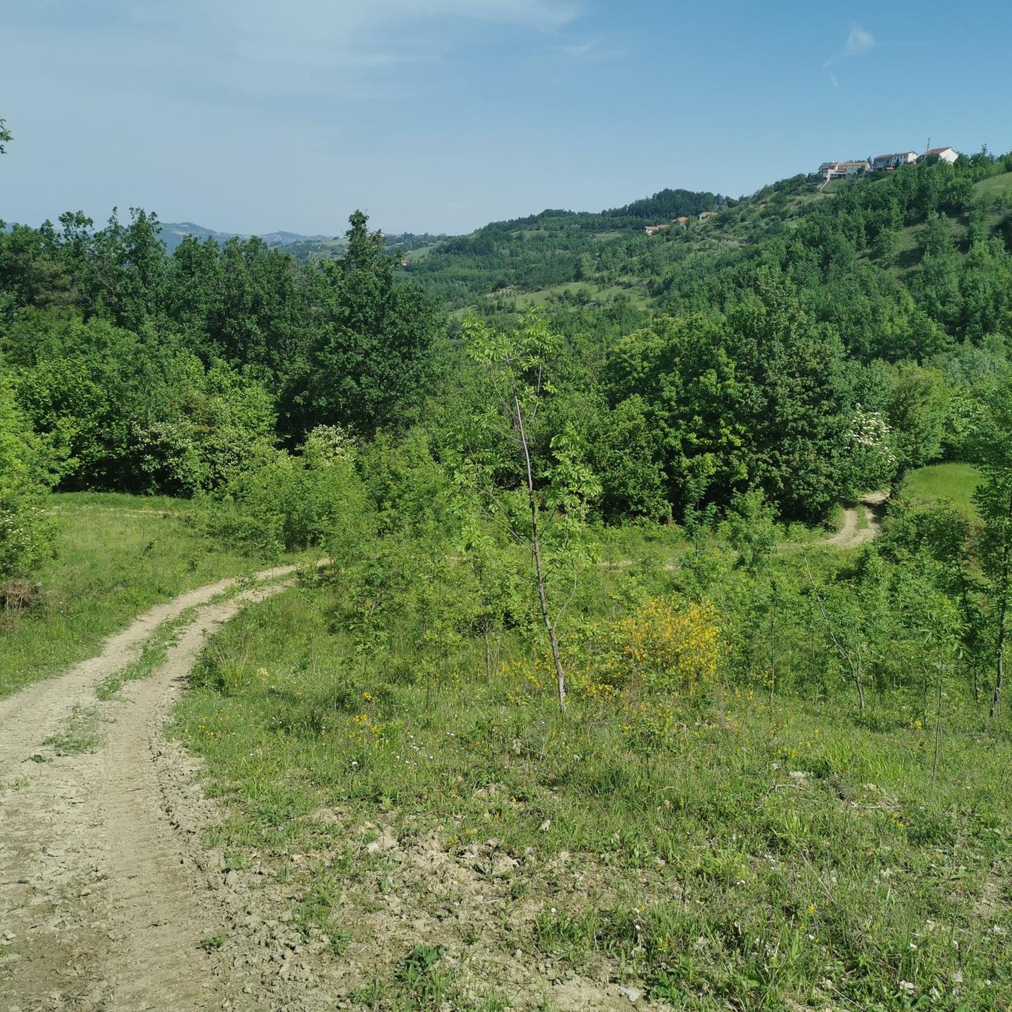
Beautiful path immersed in the woods with breathtaking views.
0
0

It was a great ride! Some paths, however, were not very clean. The path was instead marked punctually. Attention should be paid to the initial part because there are some flocks with shepherd dogs.
0
0

It is located on top of a hill, with TV repeaters and a beautiful view over the entire Alpine arc. It can be reached by taking the Bistagno ring
0
0


Walk along the MTB track and the marked trail (red white mark)
1
1
Great view, good place to rest in the grass
1
1
Frequently Asked Questions
How many hiking trails are available around Castelletto D'Erro?
There are over 130 hiking routes in the Castelletto D'Erro area, offering a wide range of options for different skill levels. These include 29 easy trails, 87 moderate routes, and 15 more challenging hikes.
What kind of terrain can I expect on hikes in Castelletto D'Erro?
The terrain around Castelletto D'Erro is characterized by rolling hills, extensive vineyards, and verdant fields. Many trails wind through scenic hills and past country churches, with some offering panoramic views of the characteristic vineyards and, on clear days, the distant peaks of the Alpine arc.
Are there any circular hiking routes in Castelletto D'Erro?
Yes, many routes in the area are circular. For example, the Castelletto d'Erro Loop Trail is an easy 4.8 km (3.0 miles) path that takes about 1 hour 29 minutes to complete. Another option is the Ponti and Castelletto d'Erro Loop, a moderate 8.6 km (5.4 miles) trail.
What are some interesting landmarks or attractions to see while hiking in the area?
The region is rich in historical and natural attractions. You can explore the ancient Torre (Tower) in Castelletto D'Erro itself, which offers panoramic views. Nearby, the village of Bubbio features urban characteristics, ancient houses, a castle, and the octagonal Church of San Grato. The town of Roccaverano, at one of the highest elevations, provides breathtaking 360° panoramas. You can find more details on these and other points of interest like the Medieval Tower of Castelletto d'Erro, Bubbio Village and Church of San Grato, and Roccaverano.
What is the best time of year to go hiking in Castelletto D'Erro?
The rolling hills and vineyards of Monferrato are beautiful throughout much of the year. Spring and autumn offer pleasant temperatures for hiking, with vibrant colors from blooming flowers or changing leaves. During summer, fields near Castelletto D'Erro burst into color with lavender blooms. On clear days, you can enjoy views of the distant Alpine peaks, which are particularly striking in cooler months.
Are there any long-distance hiking options near Castelletto D'Erro?
While many routes are day hikes, the region does feature itineraries that explore country churches and scenic gullies within the Bormida Valley, some of which are multi-day routes. The Trail of the Rural Churches is a more challenging 18.8 km (11.7 miles) route that takes around 5 hours 36 minutes, offering a longer experience.
Is Castelletto D'Erro a good destination for family-friendly hikes?
Yes, Castelletto D'Erro offers several easy trails suitable for families. These routes often lead through local fields and past historical points, providing an enjoyable experience for all ages without being overly strenuous. The Castelletto d'Erro Loop Trail is a good example of an easy, family-friendly option.
Are dogs allowed on the hiking trails in Castelletto D'Erro?
Generally, dogs are welcome on trails in the Monferrato region. However, it's always advisable to keep your dog on a leash, especially when passing through vineyards, agricultural areas, or near livestock. Always ensure you clean up after your pet to maintain the natural beauty of the area for everyone.
Where can I find parking for hiking trailheads in Castelletto D'Erro?
Parking is typically available in or near the main village of Castelletto D'Erro and other smaller towns that serve as starting points for trails. Specific parking information for individual trailheads can often be found on komoot tour pages or local signage.
What do other hikers enjoy most about hiking in Castelletto D'Erro?
The area is highly rated by the komoot community, with an average score of 4.5 stars from over 300 reviews. Reviewers often praise the diverse terrain, from rolling vineyards to scenic hills, and the panoramic views that encompass the characteristic Monferrato landscape and distant Alps. The well-maintained paths and opportunities to explore historical sites are also frequently highlighted.
Are there cafes or restaurants available along the hiking routes or in Castelletto D'Erro?
Castelletto D'Erro and nearby villages offer local amenities including cafes and restaurants where you can enjoy traditional Piedmontese cuisine and local wines. While not every trail will have facilities directly on route, you'll find options in the towns at the start or end of your hike, or in villages you pass through.
Can I reach Castelletto D'Erro by public transport for hiking?
Public transport options to reach Castelletto D'Erro and its surrounding areas may be limited, as is common in many rural Italian regions. It's recommended to check local bus schedules or consider driving to access trailheads. For routes starting from larger towns like Bistagno, public transport might be more accessible, such as for the Anello di Bistagno hilltop loop from railway station.
Most popular attractions around Castelletto D'Erro

Get inspired with the komoot mobile app


Explore more
Browse the best Hikes in other regions.
