The best walks and hikes around Cabella Ligure
4.6
(704)
2,868
hikers
24
hikes
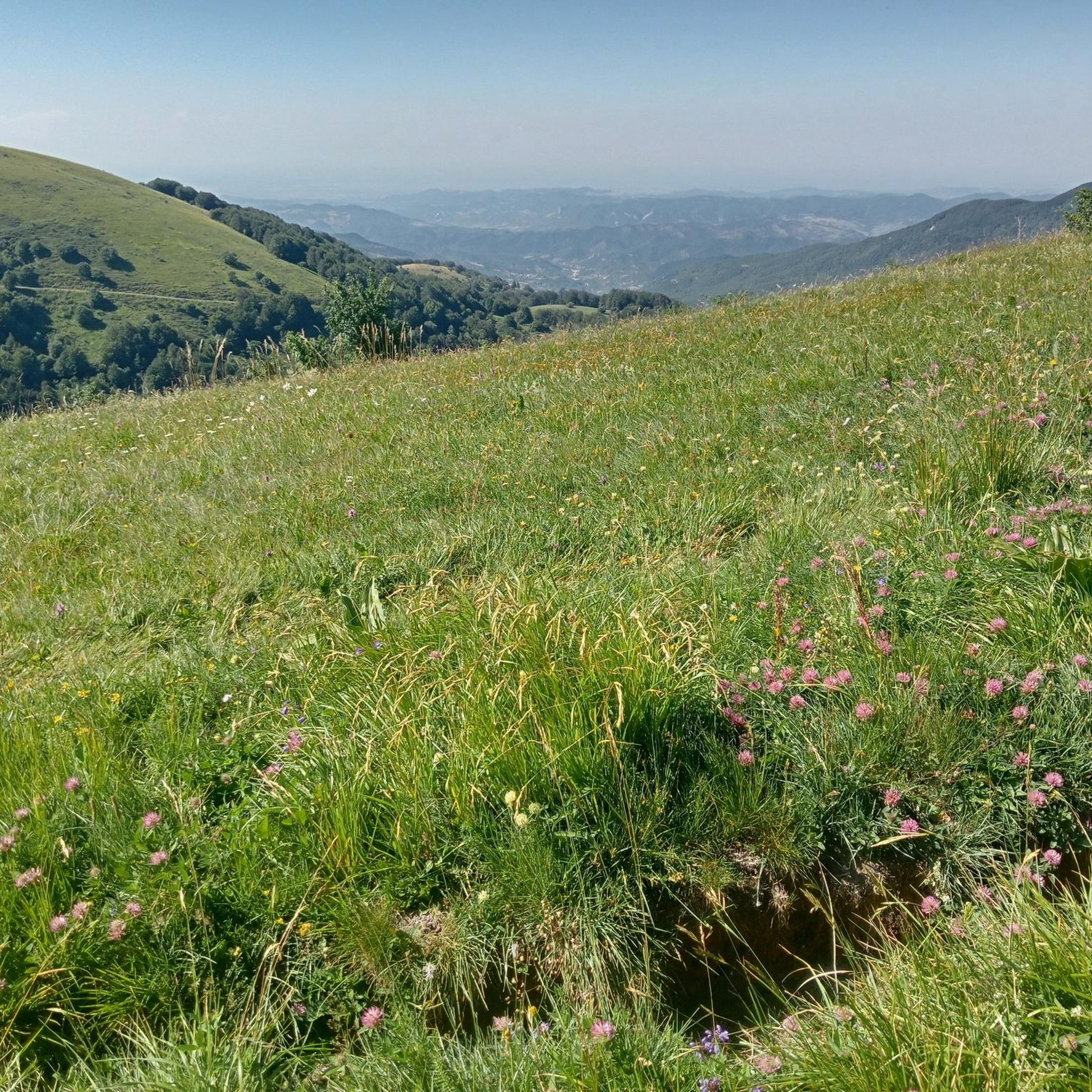
Hiking around Cabella Ligure offers diverse landscapes within the Ligurian Apennines, characterized by rugged mountainous terrain. The region features significant peaks such as Monte Ebro and Monte Antola, providing elevated viewpoints. Trails traverse thick woodlands, expansive meadows, and grassy slopes, with routes tracing the borders of the Borbera and Spinti valleys. This area provides a varied environment for outdoor activities.
Best hiking trails around Cabella Ligure
- The most popular hiking route is Trail from Cosola to Piuzzo, a 6.0…
Last updated: June 23, 2026
5.0
(1)
5
hikers
9.61km
02:45
230m
230m
Moderate hike. Good fitness required. Easily-accessible paths. Suitable for all skill levels.
1
hikers
18.7km
06:24
950m
950m
Hard hike. Very good fitness required. Easily-accessible paths. Suitable for all skill levels.

Sign up for free
1
hikers
19.8km
06:29
910m
910m
Hard hike. Very good fitness required. Easily-accessible paths. Suitable for all skill levels.
1
hikers
9.85km
03:44
660m
660m
Moderate hike. Good fitness required. Easily-accessible paths. Suitable for all skill levels.
14.8km
05:09
810m
810m
Hard hike. Very good fitness required. Easily-accessible paths. Suitable for all skill levels.
Get access to more routes and recommendations from other explorers.
Sign up for free
Already have an account?
Our route recommendations are based on thousands of hikes, rides, and runs completed by other people on komoot.
Start today with a free account
Your next adventure awaits.
Login or Signup



Tips from the Community

This mountain rises to 1667 meters, marking the border between the municipalities of Cabella Ligure and Fabbrica Curone, in the province of Alessandria. A curious detail is that on different maps its name changes: some call it Monte Oserone, others even Monte Coserone, but the correct name is Monte Cosfrone.
2
0

The chapel of San Fermo stands in a dominant position at 1,177 m above sea level, at the top of a relief not far from the pass of the same name on the provincial SP 81, on the border between Liguria and Piedmont.
0
0

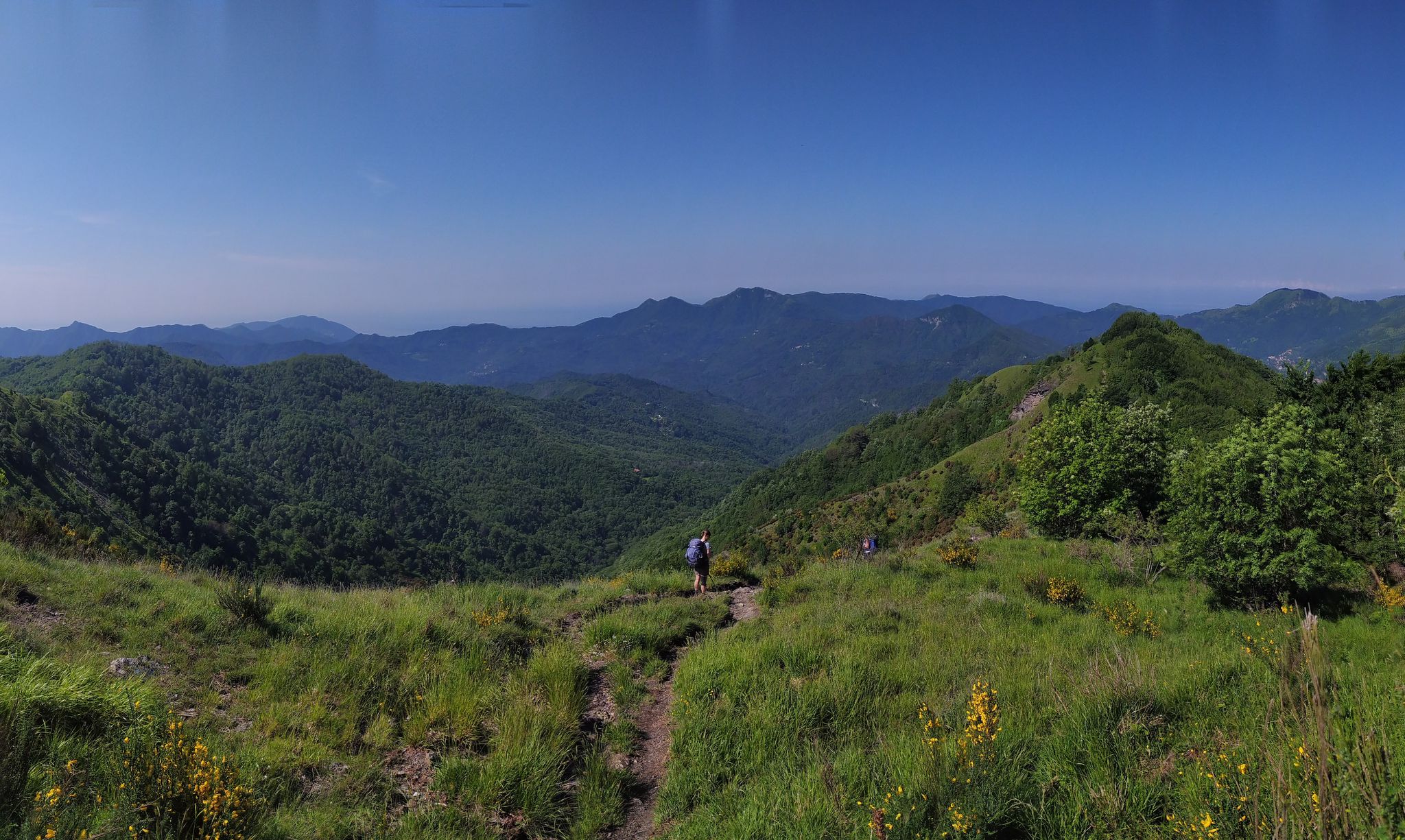
The chapel of San Fermo, located at the top of the pass of the same name, is a small place of peace that offers a breathtaking 360 degree view of the Val Vobbia. On clear days, the panorama extends from the Alps to the sea, touching four Italian regions. Occasional presence of horses.
0
0

Wonderful Spot! 360° view!
0
0

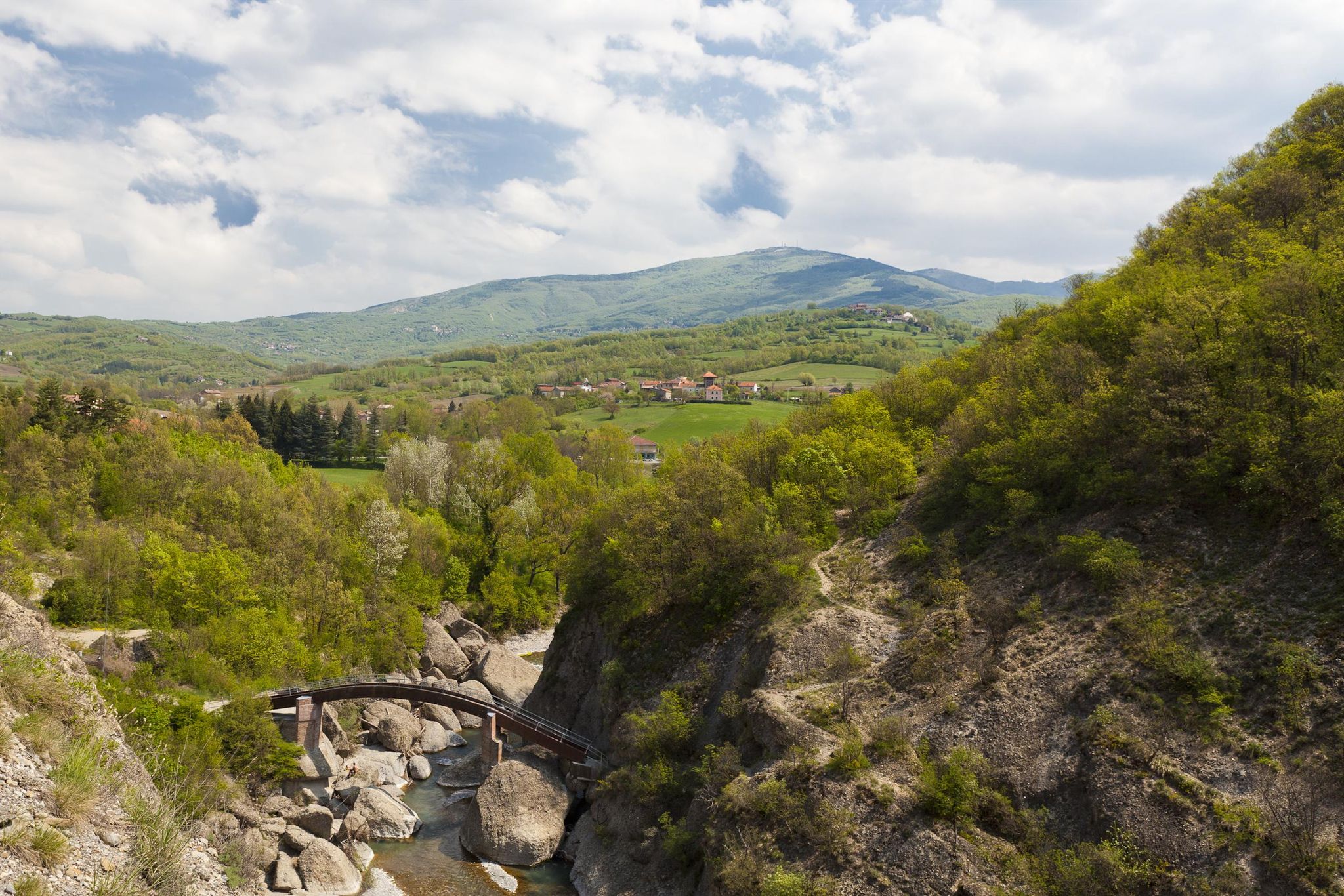
Before entering Cosola, you can enjoy a beautiful view of the village, with the church and some houses that stand out against the background of the surrounding mountains.
1
0
This is a nice vantage point to enjoy the view. From here begins the path that leads up to Mount Ebro and a few meters along the road there is a water fountain.
0
0

1667 meters high, it is a mountain in the Ligurian Apennines, located on the watershed between the Curone and Borbera valleys, in the province of Alessandria.
0
0

Frequently Asked Questions
How many hiking trails are available around Cabella Ligure?
There are over 20 hiking trails around Cabella Ligure, offering a variety of experiences. These include routes of varying difficulty, from easy walks to more challenging ascents, all set within the picturesque Ligurian Apennines.
What kind of landscapes will I encounter while hiking in Cabella Ligure?
Hikers in Cabella Ligure will experience diverse landscapes within the Ligurian Apennines. Expect rugged mountainous terrain with significant peaks like Monte Antola and Monte Ebro, offering panoramic views. Trails wind through thick woodlands, expansive meadows, and grassy slopes, often tracing the borders of the Borbera and Spinti valleys.
Are there trails suitable for families with children?
Yes, Cabella Ligure offers several easy trails perfect for families. These routes typically feature gentler terrain and shorter distances, allowing everyone to enjoy the natural beauty of the area. While specific family-friendly routes are not detailed here, you can find over 3 easy trails on komoot suitable for a relaxed outing.
What are the difficulty levels of the hiking trails in Cabella Ligure?
The trails around Cabella Ligure cater to various fitness levels. You'll find 3 easy routes for leisurely strolls, 15 moderate trails that offer a good challenge, and 5 difficult routes for experienced hikers seeking more demanding ascents and longer distances.
Are there any circular walks or loop trails in the area?
Yes, many of the hiking routes around Cabella Ligure are designed as circular walks, allowing you to start and end your journey in the same location without retracing your steps. These loop trails offer a complete exploration of the local scenery and natural features.
What do other hikers enjoy most about the trails in Cabella Ligure?
The hiking trails in Cabella Ligure are highly regarded by the komoot community, with an average rating of 4.6 stars from over 600 reviews. Hikers frequently praise the varied terrain, the stunning panoramic viewpoints from peaks like Monte Ebro, and the well-maintained paths that lead through quiet woodlands and open meadows.
Can I bring my dog on the hiking trails in Cabella Ligure?
Generally, dogs are welcome on hiking trails in Cabella Ligure. However, it's always advisable to keep your dog on a leash, especially in areas with livestock or wildlife, and to check for any specific local regulations or protected areas that might have restrictions. Always carry water for your pet and clean up after them.
Are there any notable landmarks or attractions to see along the trails?
Yes, the trails often lead to or pass by significant natural and historical landmarks. You can explore natural monuments like Mount Antola and Monte Ebro, or discover historical sites such as Castello della Pietra. The characteristic Church of San Pietro near Monte Antola also offers a picnic area for hikers.
What are some of the more challenging hikes in Cabella Ligure?
For experienced hikers, challenging routes include the Dovanelli - San Fermo Trail 258, which covers nearly 20 km with significant elevation gain, and the Monte Costrone Summit Trail (via Route 220), an 18.7 km route offering panoramic views. These trails require good fitness and sure-footedness.
Are there any mountain huts or refuges along the hiking routes?
Yes, there are mountain huts and refuges available in the vicinity of Cabella Ligure that can serve as rest stops or overnight accommodations. Notable options include Casa del Romano and Capanne di Cosola, which are often accessible from various trails.
What is the best time of year to go hiking in Cabella Ligure?
The best time for hiking in Cabella Ligure is typically from spring through autumn. During these seasons, the weather is generally mild and pleasant, making for ideal conditions to explore the mountainous terrain and enjoy the lush woodlands and open meadows. Summer offers warmer temperatures, while spring and autumn provide vibrant foliage and cooler air.
Are there any long-distance hiking routes that pass through Cabella Ligure?
Yes, Cabella Ligure is connected to significant long-distance routes. These include sections of the "Via del Sale" (Salt Road), a historic 90 km route crossing multiple regions, and "La Via del Mare," which connects Tortona to Capanne di Cosola and continues towards Portofino, offering extensive trekking opportunities.
Most popular attractions around Cabella Ligure

Get inspired with the komoot mobile app


Explore more
Browse the best Hikes in other regions.
