The best walks and hikes around Seevetal
4.6
(1838)
7,167
hikers
600
hikes
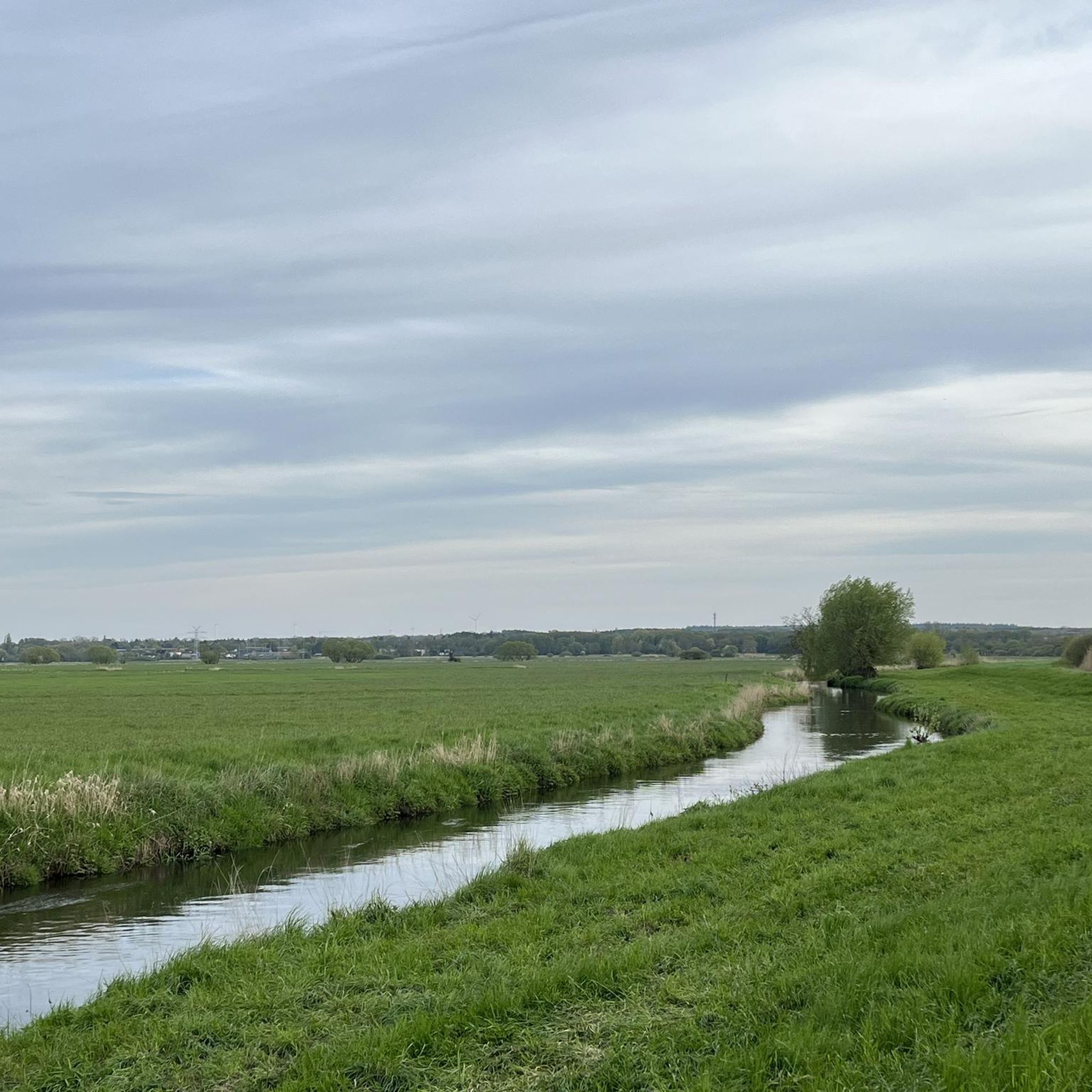
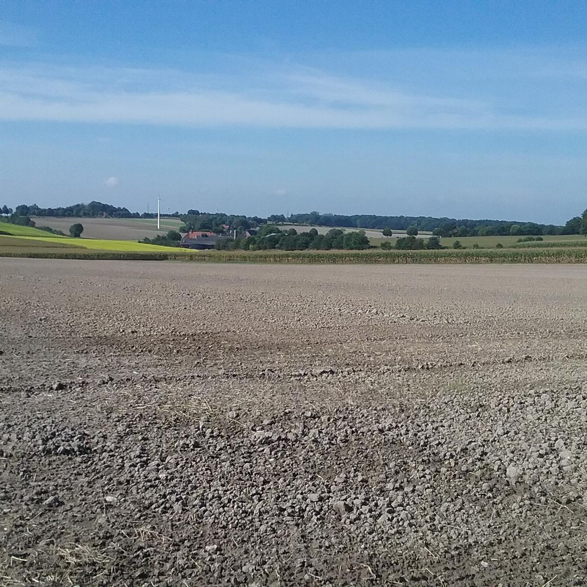
Hiking around Seevetal offers diverse natural landscapes characterized by lush forests, scenic rivers, and expansive countryside in Lower Saxony, Germany. The region features gentle terrain with minimal elevation changes, making it accessible for various hiking abilities. Key geographical elements include the Seeve River, the Elbe River, and the Harburg Mountains, providing varied environments for exploration. The Lower Seeveniederung Nature Reserve is also a notable feature, offering opportunities to observe local flora and fauna.
Best hiking trails around Seevetal
- The most…
Last updated: July 4, 2026
4.7
(263)
786
hikers
Moderate hike. Good fitness required. Easily-accessible paths. Suitable for all skill levels.
4.6
(132)
386
hikers
Moderate hike. Good fitness required. Easily-accessible paths. Suitable for all skill levels.

Sign up for free
4.8
(45)
127
hikers
5.40km
01:22
10m
10m
Easy hike. Great for any fitness level. Easily-accessible paths. Suitable for all skill levels.
4.6
(37)
123
hikers
Moderate hike. Good fitness required. Easily-accessible paths. Suitable for all skill levels.
4.6
(28)
103
hikers
Moderate hike. Good fitness required. Easily-accessible paths. Suitable for all skill levels.
Get access to more routes and recommendations from other explorers.
Sign up for free
Already have an account?
Our route recommendations are based on thousands of hikes, rides, and runs completed by other people on komoot.
Start today with a free account
Your next adventure awaits.
Login or Signup

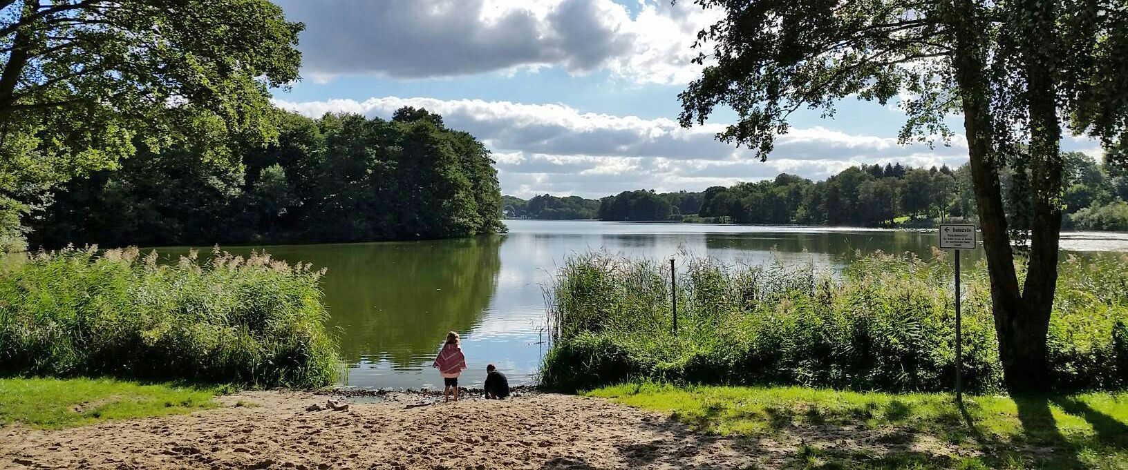
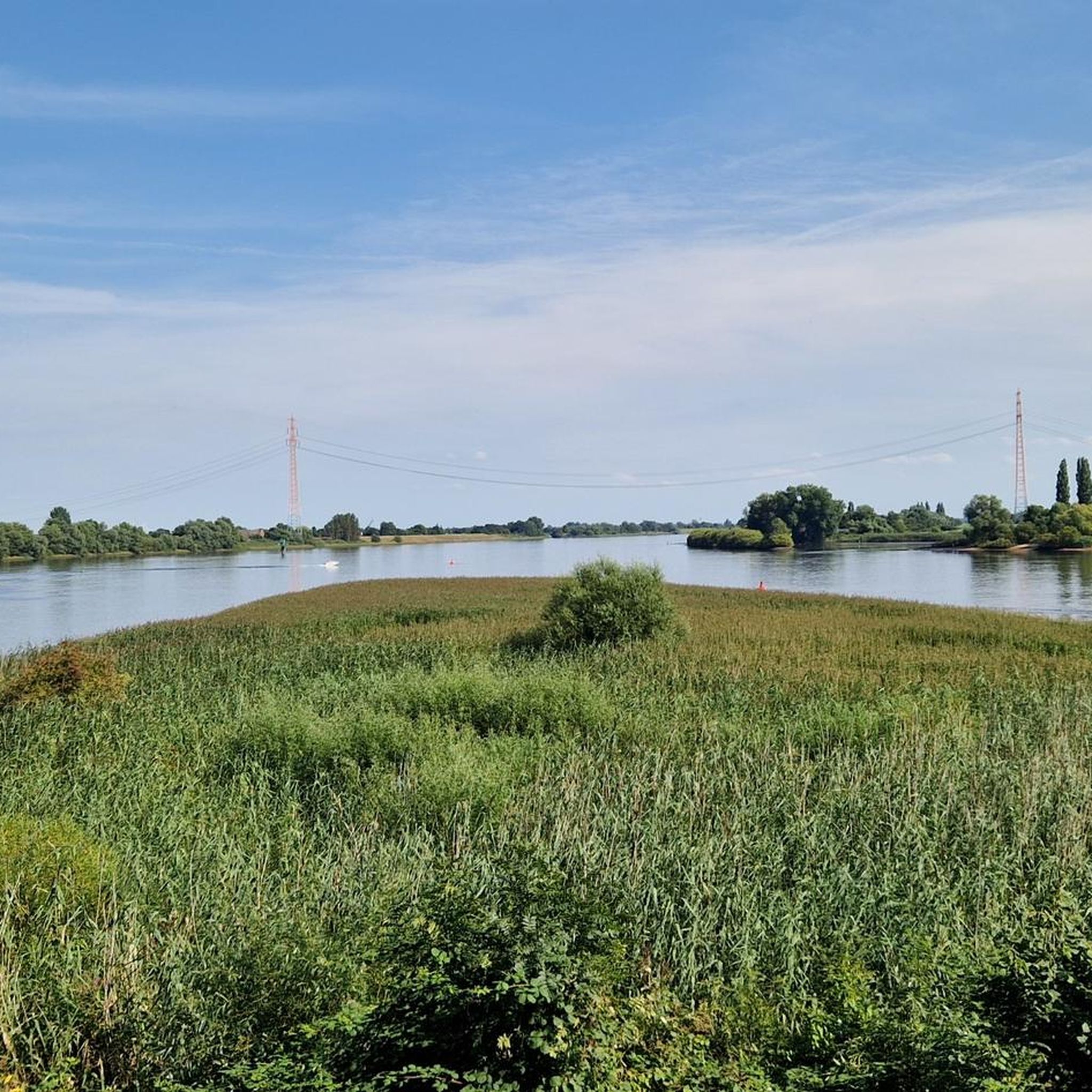
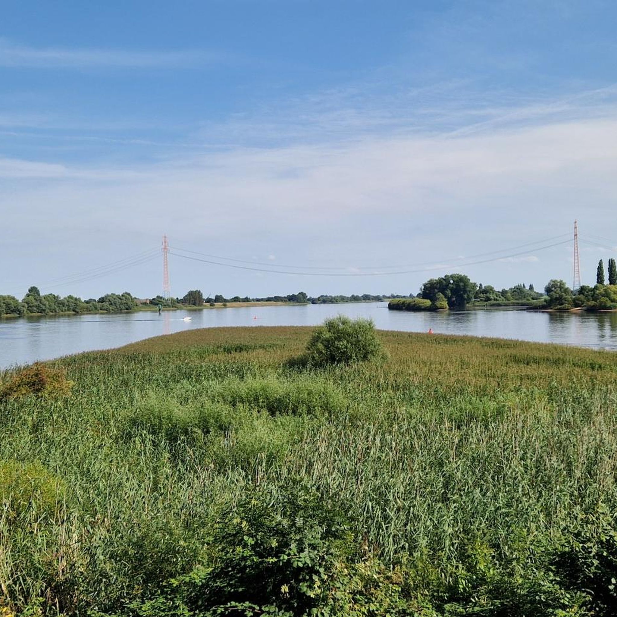
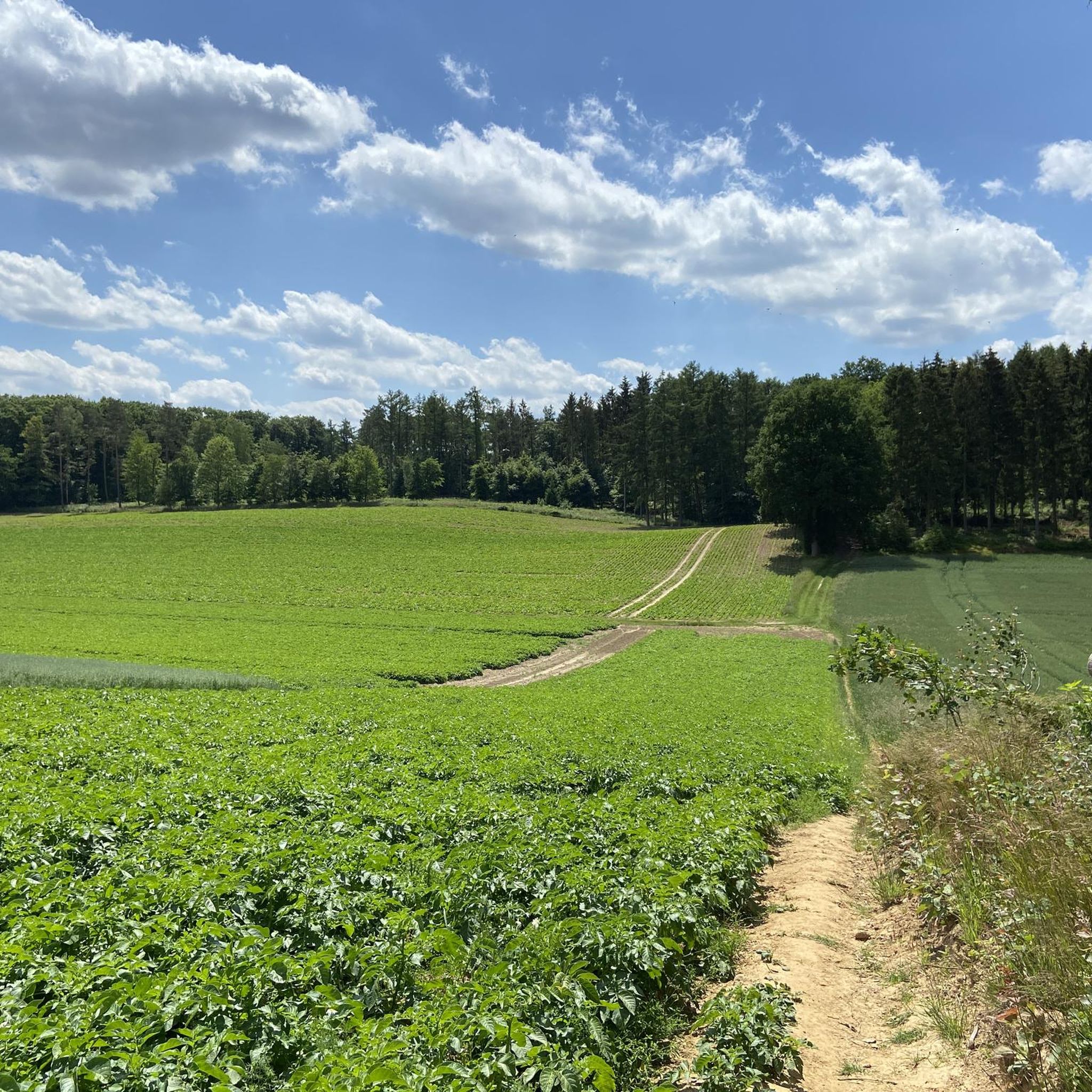

Tips from the Community

Always beautiful to look at.
0
0
There is a lot to observe here. Always beautiful, also how the ancient willows change.
0
0

A beautiful spot right on a bend in the Elbe River. We "only" walked along the Elbe River toward the Over water level measuring station, but the path is varied, sometimes interrupted by trees where you can also linger. There are a few park benches on the dike from which you can easily observe boats, anglers, and the occasional surfer.
1
0

... even if the ground is anything but perfect ... the walk over the bridge is worth it.
1
0


You should also turn around; if you're lucky, you can see the deer walking across the fields on the other side.
0
0

Beauty in every season - not only when the checkerboard flowers bloom
1
0
Here you can walk in all directions and always have beautiful views!
2
0
Frequently Asked Questions
What kind of landscapes can I expect to see while hiking in Seevetal?
Seevetal offers a diverse natural landscape characterized by lush forests, tranquil rivers like the Seeve and Elbe, and expansive countryside. You'll find areas with charming rural settings, extensive forest areas like the Harburg Mountains, and significant natural reserves such as the Lower Seeveniederung, providing varied backdrops for your hikes.
Are there many hiking trails available in Seevetal?
Yes, Seevetal boasts a comprehensive network of hiking trails. There are over 580 routes available, catering to various preferences and skill levels.
Are there easy hiking trails suitable for beginners or families in Seevetal?
Absolutely. Seevetal is known for its gentle terrain with minimal elevation changes, making it ideal for easy strolls. Over 415 of the available routes are classified as easy, perfect for beginners or families looking for a relaxed outdoor experience. For example, the Lake in the Great Moor – Lake in the Großen Moor loop from Meckelfeld is an easy 1.5-mile path exploring a peaceful natural setting.
Can I find circular hiking routes in Seevetal?
Many of the trails in Seevetal are designed as circular routes, allowing you to start and end at the same point. This makes planning your hike convenient, especially if you're driving. An example is the Old Post Bridge – Alter Postweg Junction loop from Holtorfsloh, a moderate 4.9-mile route.
What natural attractions or landmarks can I see along the hiking trails?
Seevetal's trails often lead to interesting natural features. You can explore the Seeve Estuary and Seeve Sluice, or visit the Hasselbrack – Highest Point in Hamburg. Other notable natural monuments nearby include the Hell Gorge and the Boberger Dunes. The Seevengeti Nature Reserve – Lake Junkernfeld loop from Tideelbe von Rönne bis Bunthäuser Spitze offers a chance to experience a significant natural reserve.
Are there opportunities for wildlife spotting in Seevetal?
Yes, the diverse landscapes of Seevetal, particularly the natural reserves, provide excellent opportunities for observing local wildlife. The Lower Seeveniederung Nature Reserve is a significant highlight, where you can spot checkerboard flowers in April and May, and buzzards courting in the sky during March. The Seeve Estuary also offers birdwatching opportunities.
What is the best time of year to hike in Seevetal?
Seevetal offers enjoyable hiking experiences throughout the year. Spring is particularly beautiful, with checkerboard flowers blooming in the Lower Seeveniederung Nature Reserve in April and May, and buzzards visible in March. The lush forests and riverside paths are pleasant during warmer months, and paved paths in areas like the Lower Seeveniederung ensure accessibility even after prolonged rainfall, making it suitable for winter hikes as well.
Are there options for longer or more challenging hikes in Seevetal?
While many trails are easy, Seevetal also offers options for more moderate and even a few difficult excursions. There are 157 moderate routes and 9 difficult routes for those seeking a greater challenge. The Lapwing observation hut – Seeve Estuary on the Elbe loop from Maschen is a moderate 7.8-mile trail that takes about 3 hours to complete.
How accessible is Seevetal for hikers using public transport?
Seevetal is easily accessible by public transportation from Hamburg, making it a convenient option for a day trip. This allows hikers to reach various trailheads without needing a car.
What do other hikers enjoy most about the trails in Seevetal?
The trails in Seevetal are highly rated by the komoot community, with an average score of 4.6 stars from over 1200 reviews. Hikers often praise the tranquil river paths, verdant forests, and open countryside, appreciating the diverse and well-maintained network of routes.
Are there trails that follow rivers or waterways?
Yes, the region is defined by its location between the Elbe and Seeve rivers, offering lovely riverside paths. The Seeve River, in particular, features prominently in many hiking routes, providing tranquil waterside views. The "Glück zu" pier – Seeve River Near Horst loop from Seeve is an excellent example, following the Seeve River for 3.4 miles.
Most popular routes around Seevetal
Most popular attractions around Seevetal

Get inspired with the komoot mobile app


Explore more
Browse the best Hikes in other regions.
