The best walks and hikes around Schwerinsdorf
4.7
(469)
2,169
hikers
288
hikes
Hiking trails around Schwerinsdorf traverse a landscape characterized by expansive green meadows, dense forests, and numerous lakes and rivers. Situated on the edge of the East Frisian Peninsula, the region offers diverse natural environments for outdoor exploration. Trails often lead through protected areas like the Heseler Forest, providing opportunities to observe local flora and fauna. The terrain is generally gentle, with minimal elevation changes, making it accessible for various activity levels.
Best hiking trails around Schwerinsdorf
- The most popular hiking…
Last updated: May 17, 2026
5.0
(4)
13
hikers
Easy hike. Great for any fitness level. Easily-accessible paths. Suitable for all skill levels.
5.0
(2)
9
hikers
Easy hike. Great for any fitness level. Easily-accessible paths. Suitable for all skill levels.

Sign up for free
5.0
(9)
12
hikers
Easy hike. Great for any fitness level. Easily-accessible paths. Suitable for all skill levels.
10
hikers
Easy hike. Great for any fitness level. Easily-accessible paths. Suitable for all skill levels.
5.0
(21)
10
hikers
1.82km
00:28
0m
0m
Easy hike. Great for any fitness level. Easily-accessible paths. Suitable for all skill levels.
Get access to more routes and recommendations from other explorers.
Sign up for free
Already have an account?
Our route recommendations are based on thousands of hikes, rides, and runs completed by other people on komoot.
Start today with a free account
Your next adventure awaits.
Login or Signup
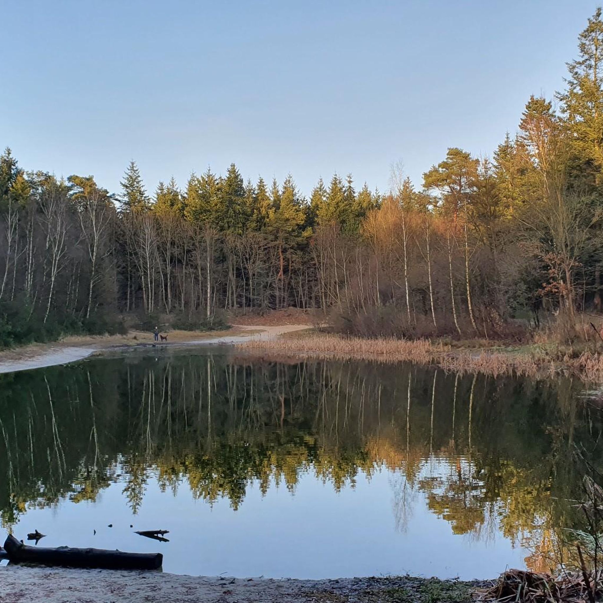
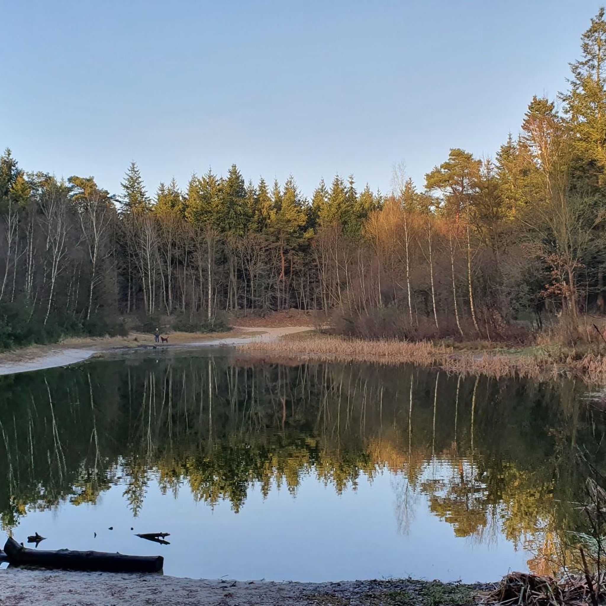
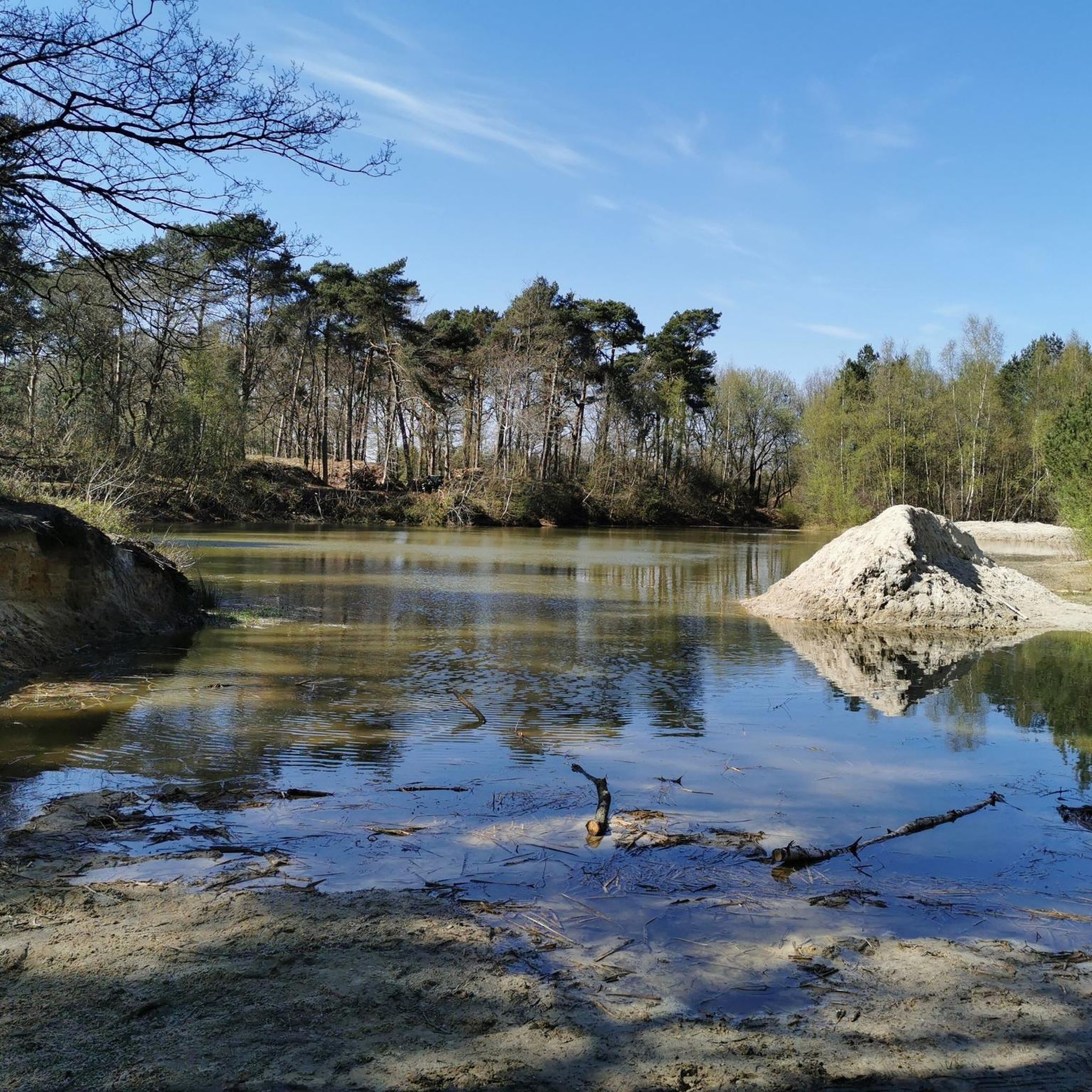
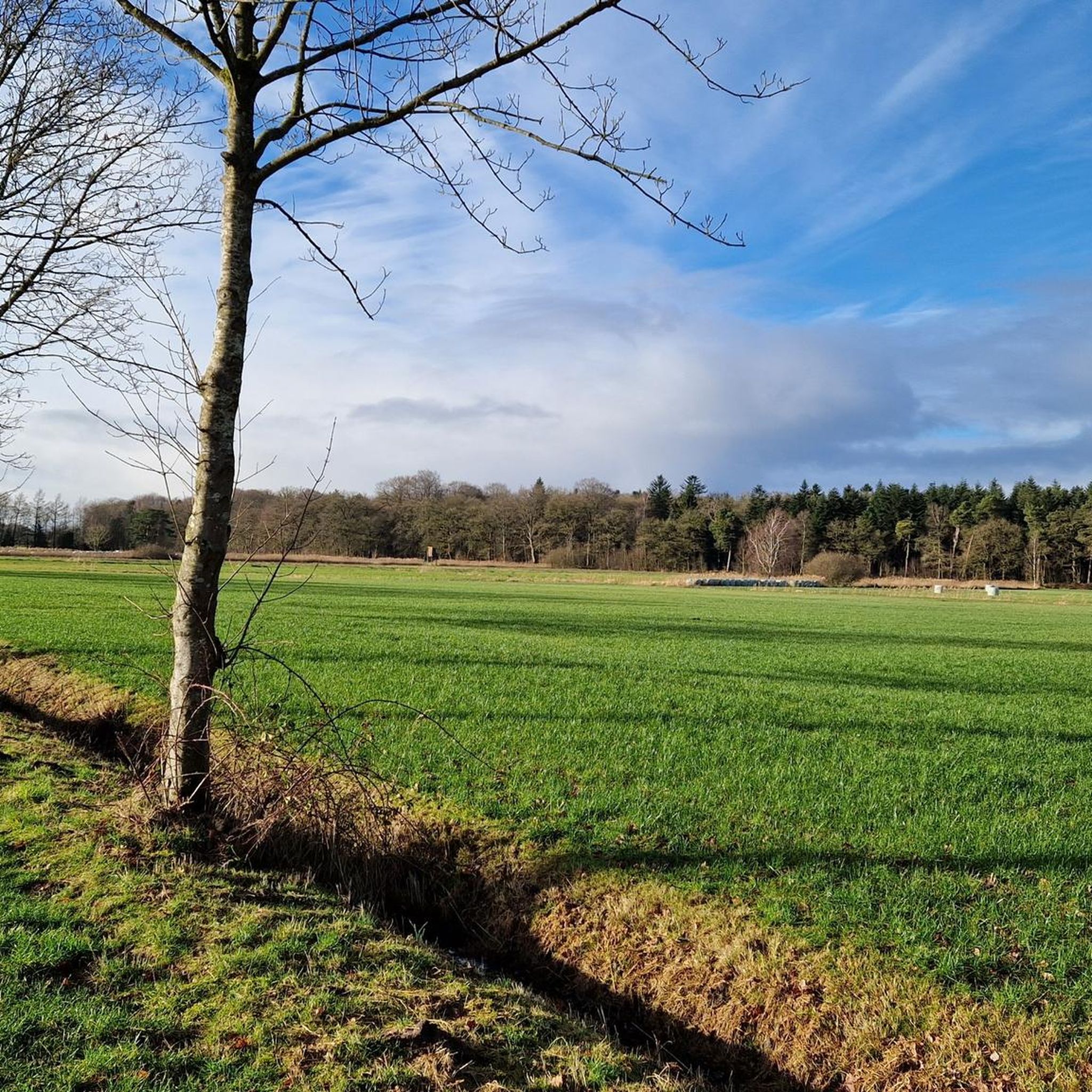

Tips from the Community

18 meters above sea level in East Frisia, you simply have to have that entered in your altitude book :-)
0
0

Somewhat unspectacular, but nice.
0
0
Great for letting the children run around and play, even in winter.
1
0


A playground in the middle of the Hesel Forest. Great for kids 👧
0
0

Very idyllic and quiet. There are three benches by the lake, but almost none in the forest. But the small paths completely compensate for that.
0
0

Frequently Asked Questions
What kind of terrain can I expect on hiking trails around Schwerinsdorf?
The hiking trails around Schwerinsdorf feature a generally gentle terrain with minimal elevation changes. You can expect to traverse expansive green meadows, dense forests, and scenic paths alongside numerous lakes and rivers. Many routes lead through protected natural areas like the Heseler Forest, offering varied scenery.
Are there many easy hiking routes suitable for beginners or leisurely walks?
Yes, Schwerinsdorf is an excellent destination for easy hikes. Out of nearly 300 available routes, over 200 are classified as easy, making them perfect for beginners, families, or those seeking a leisurely pace. These trails often provide tranquil forest paths and open meadows.
Are there any circular hiking routes in the Schwerinsdorf area?
Many of the hiking routes around Schwerinsdorf are designed as loops, allowing you to start and end at the same point. For example, the Silbersee Heseler Forest – Spot at Silbersee loop from Samtgemeinde Hesel is an easy 3.9-mile circular trail offering scenic views around Silbersee.
What natural features or landmarks can I see while hiking near Schwerinsdorf?
The region is rich in natural features. You can explore areas like the Heseler Forest, Lengener Meer, and Stapeler Moor. Highlights include the Neudorfer Moor Observation Tower for panoramic views, the tranquil Hasselt Water Park, and the picturesque Silbersee Heseler Forest. You might also encounter the Bagbander Tief river.
Are the hiking trails around Schwerinsdorf suitable for families with children?
Absolutely. The gentle terrain and numerous easy routes make Schwerinsdorf very family-friendly. Many trails wind through forests and meadows, offering a safe and enjoyable environment for children to explore. The Fairy Houses in Holle Sand – Witch’s Cottage in Holle Sand loop from Holle Sand is an easy 4.5-mile path through forested areas that families often enjoy.
Can I bring my dog on the hiking trails in Schwerinsdorf?
Yes, many trails in Schwerinsdorf are suitable for hiking with dogs. The diverse natural landscapes, including forests and open meadows, provide ample space for your canine companion. Always ensure your dog is under control and check for any specific local regulations regarding nature reserves.
What is the best time of year to go hiking in Schwerinsdorf?
Schwerinsdorf offers pleasant hiking experiences throughout much of the year. Spring brings blooming meadows, while summer provides shaded forest paths. Autumn showcases beautiful foliage. The gentle terrain means trails are generally accessible, though checking local weather conditions is always advisable.
Are there any historical sites or cultural landmarks to discover on the trails?
While the region is primarily known for its natural beauty, you can find points of interest such as the Memorial stone for the Schipper uprising against Napoleon. Additionally, the Ruins of Barthe Monastery – Spot at Silbersee loop from Samtgemeinde Hesel trail leads through varied natural landscapes that hint at the area's past.
What do other hikers say about the trails in Schwerinsdorf?
The komoot community highly rates the hiking experience in Schwerinsdorf, with an average score of 4.7 stars from over 400 reviews. Hikers often praise the tranquil forest paths, the serene waterside routes, and the well-maintained trails that allow for a deep connection with nature.
Is there public transport available to reach the hiking trailheads in Schwerinsdorf?
While Schwerinsdorf is situated in a rural area, local bus services connect it to nearby towns. For specific trailheads, it's recommended to check local public transport schedules in advance, as direct access to all starting points might vary. Many routes are also easily accessible by car.
Are there parking facilities available near the hiking trails?
Yes, parking is generally available near popular trailheads and points of interest in and around Schwerinsdorf. As many routes are loops, you can often find designated parking areas at common starting points, particularly near natural attractions like the Silbersee or within the Heseler Forest.
Most popular attractions around Schwerinsdorf

Get inspired with the komoot mobile app


Explore more
Browse the best Hikes in other regions.
