The best walks and hikes around Cabuderra/Capoterra
4.4
(332)
2,697
hikers
70
hikes
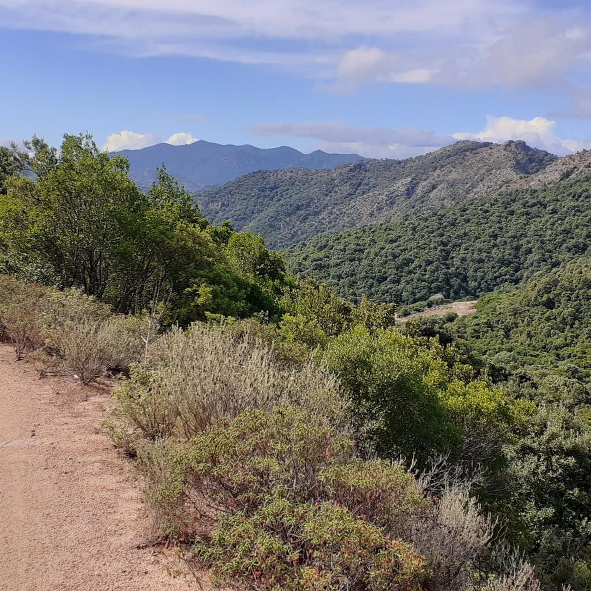
Hiking around Cabuderra/Capoterra offers access to a diverse landscape characterized by rocky plateaus, streams, and waterfalls within the Monti di Capoterra area. The region features varied terrain, from gentle paths along watercourses to more challenging ascents. These hiking trails provide opportunities to explore the natural environment of southern Sardinia.
Best hiking trails around Cabuderra/Capoterra
- The most popular hiking route is Cascata Is Scillaras – Viewpoint on the Rocky Plateau loop from Rio Pula, a 7.4 miles (11.9 km) trail…
Last updated: May 11, 2026
4.3
(3)
25
hikers
11.9km
03:38
380m
390m
Moderate hike. Good fitness required. Easily-accessible paths. Suitable for all skill levels.
4.3
(3)
24
hikers
Moderate hike. Good fitness required. Easily-accessible paths. Suitable for all skill levels.

Sign up for free
4.6
(10)
33
hikers
6.44km
01:50
150m
150m
Easy hike. Great for any fitness level. Easily-accessible paths. Suitable for all skill levels.
4.0
(1)
6
hikers
Moderate hike. Good fitness required. Mostly accessible paths. Sure-footedness required.
8
hikers
23.7km
06:49
600m
600m
Hard hike. Very good fitness required. Easily-accessible paths. Suitable for all skill levels.
Get access to more routes and recommendations from other explorers.
Sign up for free
Already have an account?
Our route recommendations are based on thousands of hikes, rides, and runs completed by other people on komoot.
Start today with a free account
Your next adventure awaits.
Login or Signup

Other adventures around Cabuderra/Capoterra

Tips from the Community

The strawberry tree is the national tree of Italy because of its green leaves, its white flowers and its red berries, colors that recall the Italian flag.
0
0

Very foggy day
0
0

A short detour along a somewhat improvised and little-traveled path, the view repays the (little) effort.
1
0

At the saddle, a path marked with cairns leads off to the right and leads to a rocky plateau with an outstanding view - very suitable for a rest.
2
0
The gorge is located southeast of the town of Bidda Mores, on the border between the municipalities of Capoterra and Sarroch. The canyon lies at approximately 180-200 meters above sea level and is flanked by two vertical quartzite walls over 100 meters high. At its narrowest point the gorge is only about 1m wide. In spring, aqua shoes are an advantage when crossing the gorge. Link to further information in Italian: https://www.giand.it/biddamores/#:~:text=La%20gola%20%C3%A8%20situata%20fra%20rilievi%20impervi%20di,circa%202%20metri %20di%20larghezza%20scavato%20nella%20quartzite.
2
0

Frequently Asked Questions
What kind of terrain can I expect on hikes around Cabuderra/Capoterra?
The hiking trails in Cabuderra/Capoterra offer a diverse landscape. You'll encounter rocky plateaus, streams, and waterfalls, particularly within the Monti di Capoterra area. The terrain varies from gentle paths along watercourses to more challenging ascents, providing a mix of experiences.
Are there any easy hiking trails suitable for beginners in Cabuderra/Capoterra?
Yes, Cabuderra/Capoterra offers a good selection of easy trails. Out of the 71 available routes, 32 are classified as easy. An example is the Stream Crossing loop from Poggio dei Pini, which is 4.0 miles (6.4 km) long and takes about 1 hour 49 minutes to complete.
Can I find trails with waterfalls in the Cabuderra/Capoterra region?
Absolutely. Waterfalls are a defining feature of the hiking experience here. Routes like the Cascata Is Scillaras – Viewpoint on the Rocky Plateau loop from Rio Pula specifically highlight the Cascata Is Scillaras, offering a chance to enjoy these natural spectacles.
Are there any circular hiking routes available?
Yes, many of the trails in Cabuderra/Capoterra are designed as loops, allowing you to start and end at the same point. For instance, the Cascata Is Scillaras – Viewpoint on the Rocky Plateau loop from Punta Tiriaxeddu is a popular moderate circular route.
What are some interesting natural attractions or landmarks to see while hiking?
Beyond the trails themselves, the region boasts several natural highlights. You could explore the Oasi del Cervo e della Luna – Monte Arcosu Wildlife Sanctuary, visit the Mitza Fanebas Spring, or even see the unique Spiaggia della Faccia (Face Beach) nearby.
What do other hikers say about the trails in Cabuderra/Capoterra?
The trails in Cabuderra/Capoterra are highly regarded by the komoot community, with an average rating of 4.4 stars from over 300 reviews. Hikers often praise the varied terrain, the presence of waterfalls, and the panoramic views from rocky plateaus.
Are there any longer or more challenging hikes for experienced hikers?
Yes, for those seeking a greater challenge, there are 11 difficult routes available. An example is the Stream Crossing – Singletrack Moto Masoni loop from Poggio dei Pini, which covers 10.9 km (6.8 miles) and involves significant elevation changes.
What is the best time of year to go hiking in Cabuderra/Capoterra?
Given Sardinia's Mediterranean climate, spring (April-May) and autumn (September-October) are generally ideal for hiking, offering pleasant temperatures and lush landscapes. Winter can also be suitable for hiking, especially on sunny days, while summer months might be very hot, making early morning or late afternoon hikes preferable.
Are there any historical or cultural sites near the hiking areas?
While the immediate hiking areas focus on natural beauty, the broader region around Cabuderra/Capoterra offers rich historical sites. You can explore the Historic Centre of Cagliari, visit the Bastion of Saint Remy, or see the Elephant Tower in the nearby city.
How long do hikes typically take in this region?
Hike durations vary significantly depending on the route's length and difficulty. For example, an easy route like the Stream Crossing loop from Poggio dei Pini can be completed in under 2 hours, while moderate trails such as the Pei de Prua on Sruescxiu – Cascata Is Scillaras loop from S'Arcu s'Enna e sa Craba might take around 2 hours 45 minutes to 3 hours.
Are there opportunities for wildlife spotting on the trails?
Yes, the Monti di Capoterra area, including the Oasi del Cervo e della Luna – Monte Arcosu Wildlife Sanctuary, is known for its biodiversity. Hikers might spot various bird species, wild boar, and even the Sardinian deer, especially during quieter times of the day.
Most popular routes around Cabuderra/Capoterra
Most popular attractions around Cabuderra/Capoterra

Get inspired with the komoot mobile app


Explore more
Browse the best Hikes in other regions.
