The best gravel rides around Cabuderra/Capoterra
4.5
(9)
48
riders
3
rides
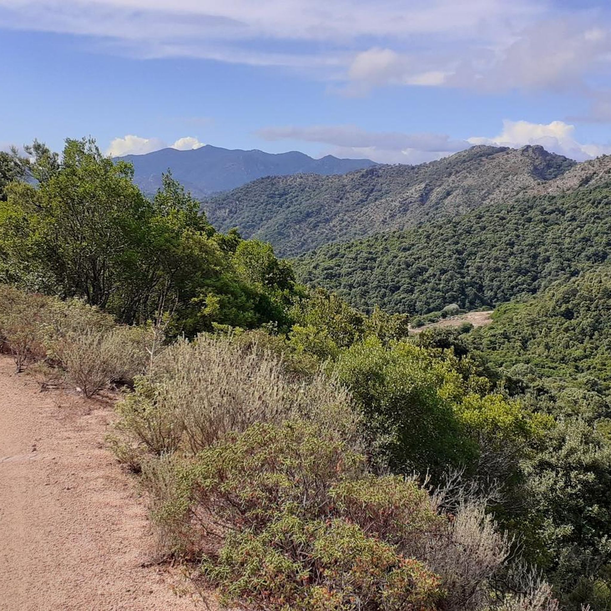
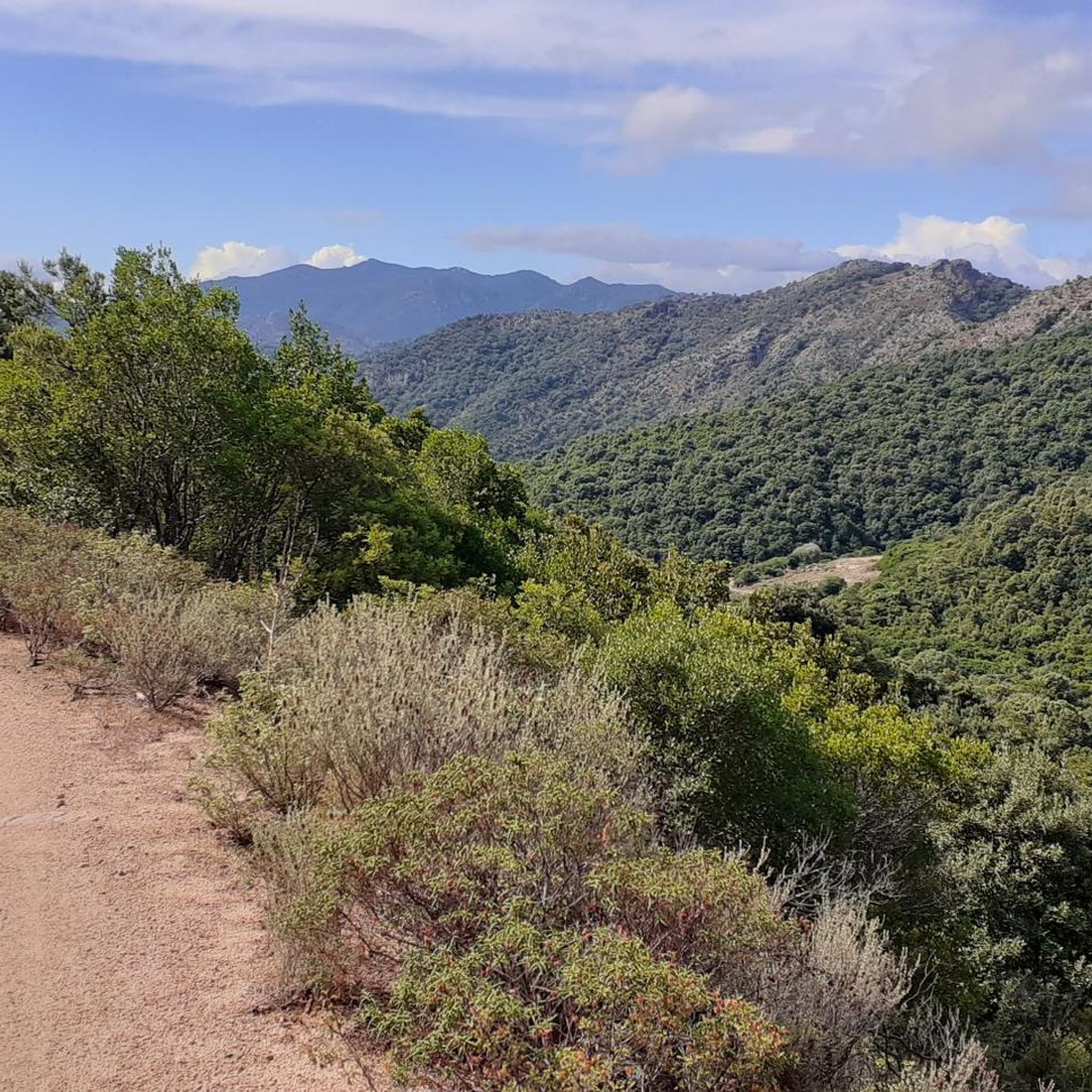
Gravel biking around Cabuderra/Capoterra offers diverse landscapes, from mountainous terrain to dense forests and unique wetlands. The region is characterized by hills, coastal paths, and ancient trails, providing varied conditions for gravel cyclists. Located at the foot of Monte Arcosu and bordered by the Santa Gilla lagoon, the area features significant natural features like the Gutturu Mannu forest. These elements combine to create a natural environment suitable for active exploration on gravel bikes.
Best gravel bike trails around Cabuderra/Capoterra
- The…
Last updated: July 4, 2026
5.0
(1)
12
riders
Hard gravel ride. Very good fitness required. Mostly paved surfaces. Suitable for all skill levels.
3.0
(2)
9
riders
Hard gravel ride. Very good fitness required. Mostly paved surfaces. Suitable for all skill levels.

Sign up for free
4
riders
41.8km
03:35
840m
840m
Hard gravel ride. Very good fitness required. Mostly paved surfaces. Suitable for all skill levels.
5.0
(5)
13
riders
18.6km
01:05
60m
60m
Easy gravel ride. Great for any fitness level. Mostly paved surfaces. Suitable for all skill levels.
5
riders
Hard gravel ride. Very good fitness required. Mostly paved surfaces. Suitable for all skill levels.
Our route recommendations are based on thousands of hikes, rides, and runs completed by other people on komoot.
Start today with a free account
Your next adventure awaits.
Login or Signup
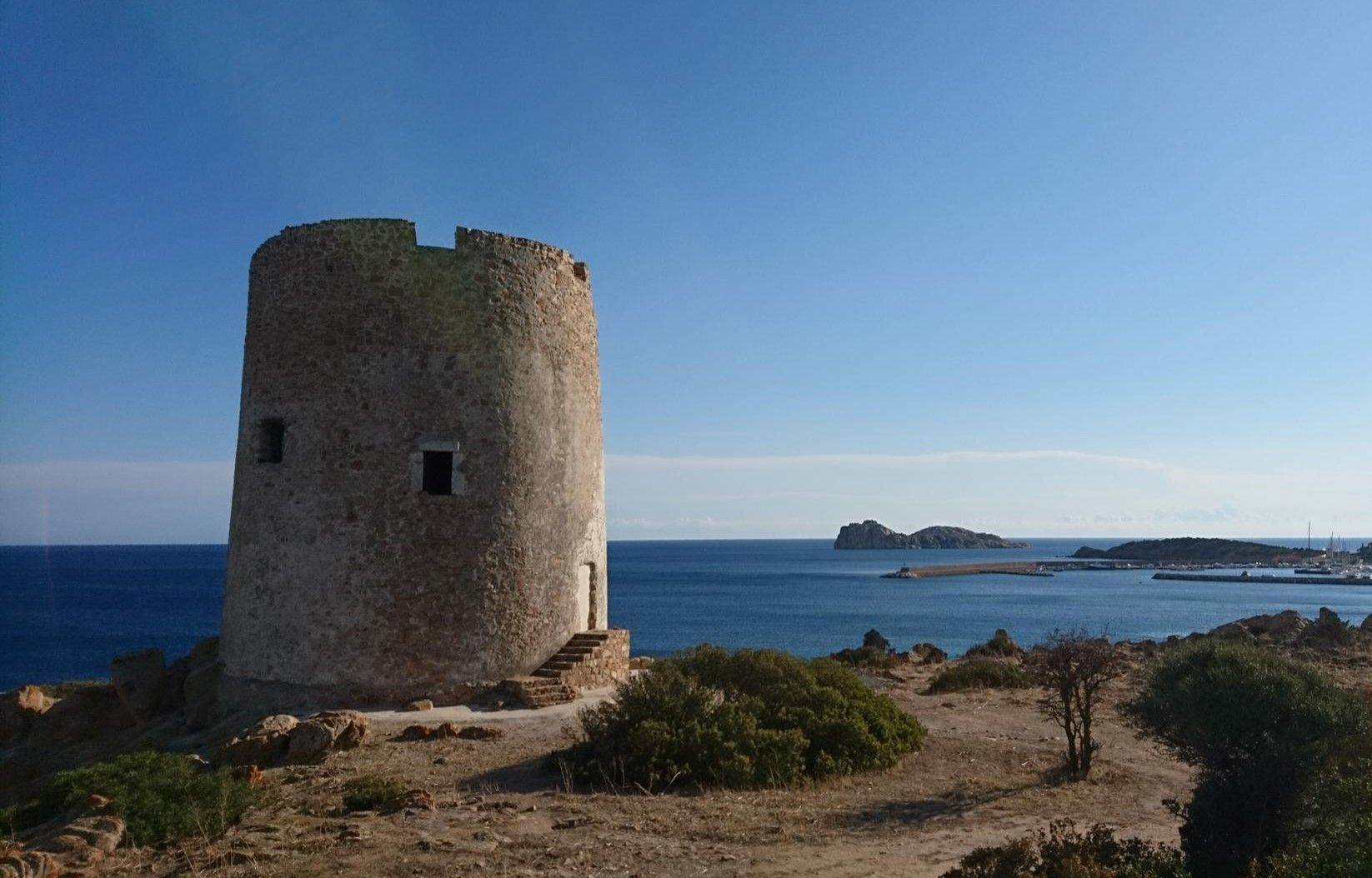
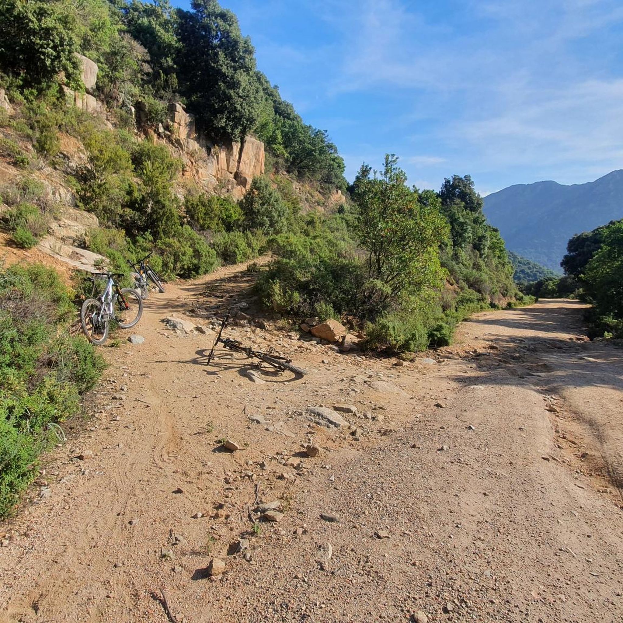
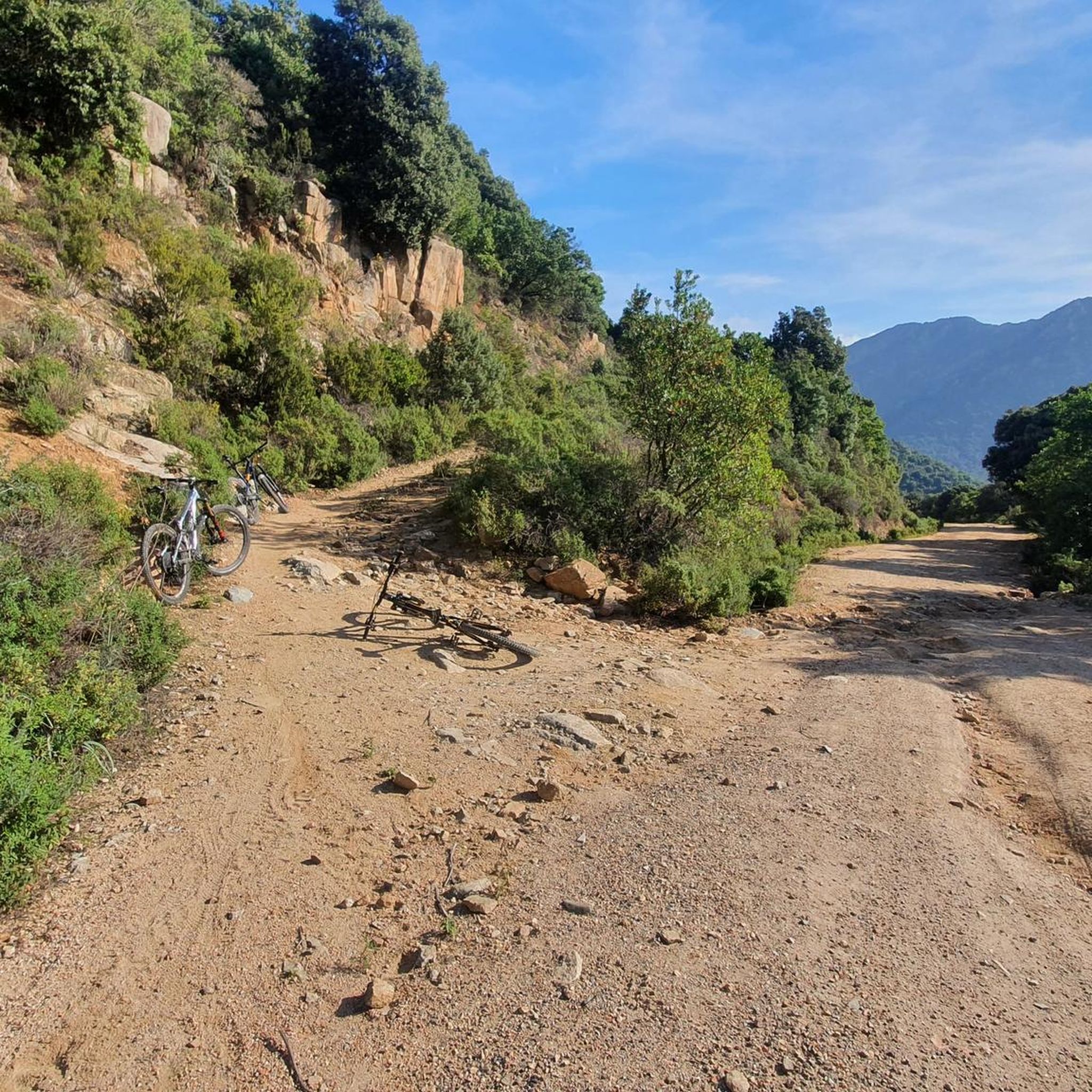
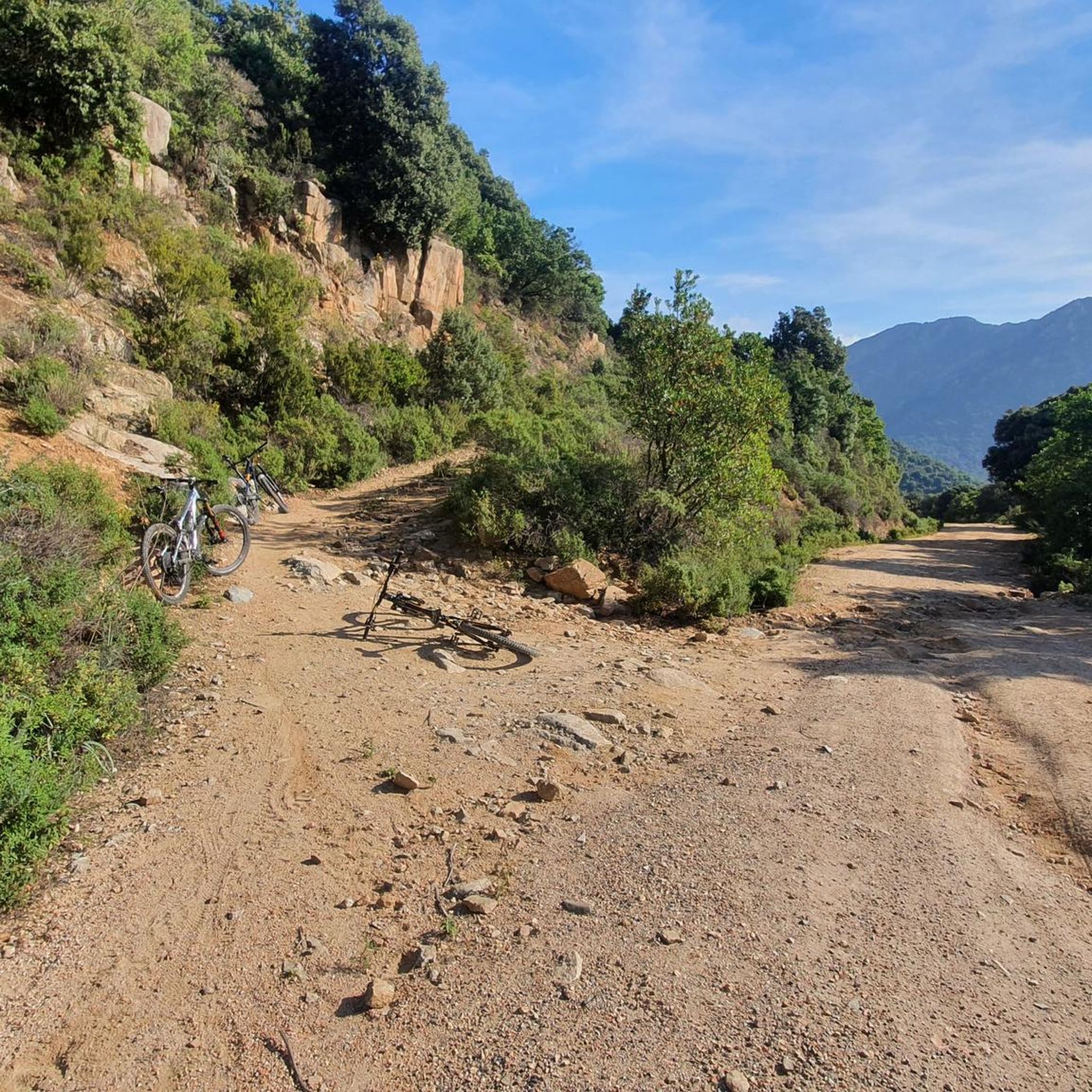
Other adventures around Cabuderra/Capoterra

Tips from the Community

I followed the entire route along the SP1, but there are several trails in the woods that branch off from the dirt road and then rejoin. The highest point is at the end of the Santadi area, then you descend again to the picnic area. I recommend following the SP1 for the uphill sections and using the trails to descend the mountains.
0
0

Calling it a cycle path seems too much to me given its length that does not reach 300 meters. Cycle paths are something else.
0
0

At the top of the Sinnai pine forest, a view of the gulf and the nearby mountains
0
0

Hi, can you send me an intermediate MTB route? 600 dsl is 50 km thanks
1
0

This place is a good example of how conservation can be overdone. Driving along the dam allows you to get closer to the flamingos than walking or cycling through the so-called park. I was disappointed. It's better to go to the zoo to see the flamingos.
0
0

A path useful to reach many beautiful trail to do downhill
0
0

Once you have passed this milestone you will be able to begin the long climb towards the antennas or towards some nice singles that will take you through the Campidano Forest to a forestry barracks. There are no water sources on this route.
0
0

View of Sinnai
0
0
Frequently Asked Questions
What kind of terrain can I expect on gravel bike trails around Cabuderra/Capoterra?
The region offers a diverse mix of landscapes, from the mountainous terrain of Monte Arcosu and the Gutturu Mannu forest to the unique wetlands surrounding the Santa Gilla lagoon. You'll encounter hills, dense forests, and coastal paths, providing varied conditions for gravel cyclists. Trails often wind through Mediterranean scrub, offering a rich sensory experience.
Are there many gravel bike trails in Cabuderra/Capoterra?
While the komoot guide features a curated selection of 3 challenging gravel bike routes, the broader Capoterra area, especially within the Monte Arcosu and Gutturu Mannu Regional Nature Park, is known for an extensive network of trails. The 'Capotrail Riding Area' alone boasts over 20 natural trails, many of which are suitable for gravel biking.
What are the difficulty levels of gravel bike trails in Cabuderra/Capoterra?
The routes highlighted in this guide are generally considered difficult, featuring significant elevation gain and technical sections. For example, the Church of Santa Lucia of Uta – Mitza Fanebas Spring loop from Cabuderra/Capoterra involves over 700 meters of ascent. The region's varied topography, however, suggests that easier and moderate paths can also be found, particularly on flatter sections near the coast or around the lagoon.
What natural attractions can I see while gravel biking in Cabuderra/Capoterra?
You can explore significant natural features like the Oasi del Cervo e della Luna – Monte Arcosu Wildlife Sanctuary, home to the largest WWF reserve in Italy. The Mitza Fanebas Spring is also a notable point of interest. Additionally, the Santa Gilla Lagoon is a crucial birdlife oasis where you might spot pink flamingos and other species.
Are there any specific landmarks or points of interest along the gravel routes?
Yes, several routes pass by interesting sites. The Church of Santa Lucia of Uta – Mitza Fanebas Spring loop from Cabuderra/Capoterra explores historical sites and natural springs. You might also encounter the Saline Conti Vecchi, an old saltworks, or enjoy views of Poetto and Cagliari from various viewpoints, such as the View of Poetto, salt pans, and Cagliari.
What is the best time of year for gravel biking in Cabuderra/Capoterra?
The favorable weather conditions from October to May make it an ideal destination for riding. During these months, temperatures are generally milder and more suitable for outdoor activities compared to the hotter summer months.
Are there any circular gravel routes available?
Yes, several routes are designed as loops. For instance, the Climb to Senna e Sa Craba – Purgatory Trail loop from La Maddalena offers a challenging circular ride through mountainous areas. Another option is the Cuili Cuaddus Switchbacks – Singletrack trail in the forest loop from Cagliari Santa Gilla, which takes you through forested singletrack.
What do other gravel bikers enjoy most about the trails in Cabuderra/Capoterra?
The komoot community rates the routes in Cabuderra/Capoterra with an average score of 3.5 stars. Reviewers often praise the varied terrain, from challenging mountain climbs to scenic routes through dense forests, and the opportunities to explore unique natural features like the Monte Arcosu reserve and the Santa Gilla lagoon.
Can I access gravel trails in Cabuderra/Capoterra using public transport?
While the region is well-suited for cycling, direct public transport access to the trailheads can be limited, especially for routes deep within the Monte Arcosu area. It's advisable to research local bus services to nearby towns or consider starting points that are more accessible from larger centers like Cagliari, such as the Cuili Cuaddus Switchbacks – Singletrack trail in the forest loop from Cagliari Santa Gilla.
Are there any family-friendly gravel biking options in the area?
While the routes highlighted in this guide are generally difficult, the broader Capoterra region, with its mix of coastal plains and rolling hills, likely offers easier, flatter paths suitable for families. Areas surrounding the Santa Gilla lagoon, for example, might provide less challenging, unpaved roads ideal for a more relaxed family ride, though specific family-friendly gravel routes are not detailed in this guide.
Most popular routes around Cabuderra/Capoterra
Most popular attractions around Cabuderra/Capoterra

Get inspired with the komoot mobile app


Explore more
Browse the best Gravel rides in other regions.
