The best running trails around Mogoredda/Mogorella
19
runners
3
runs
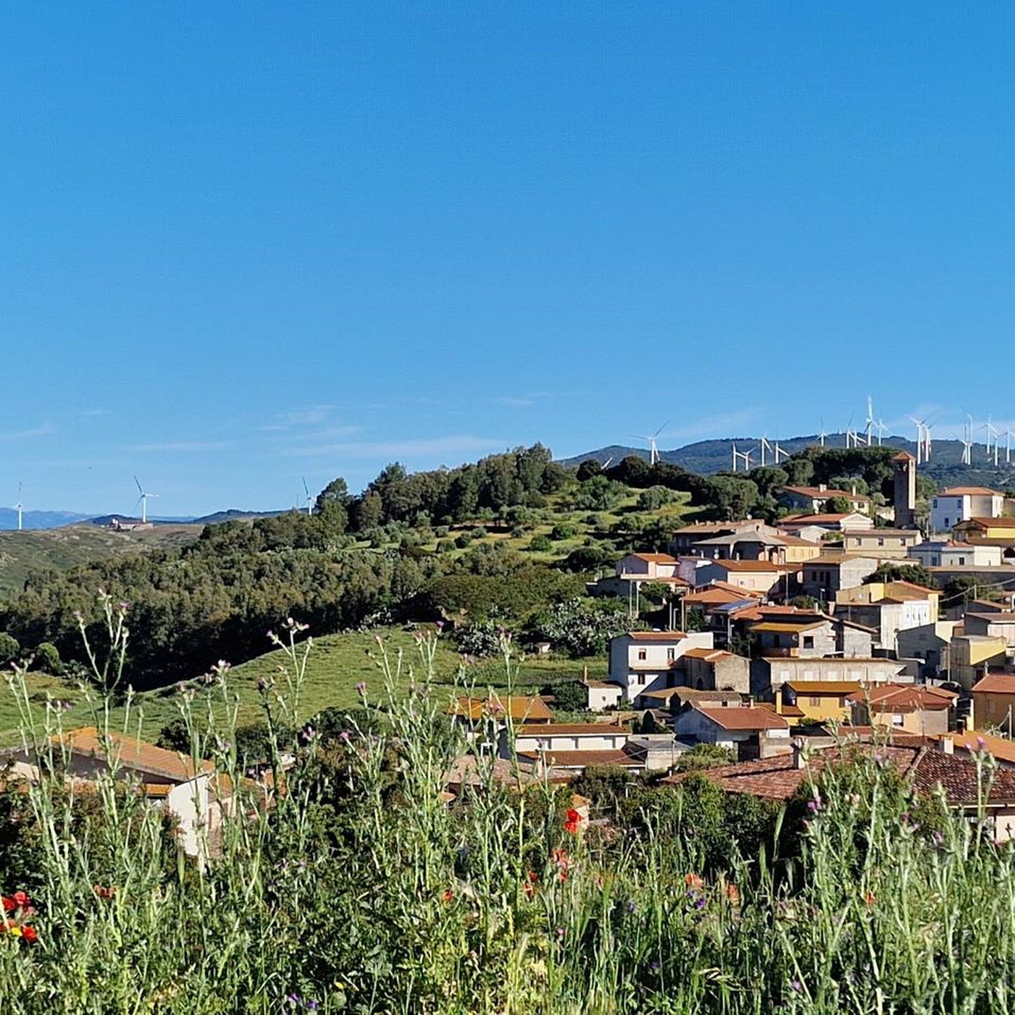
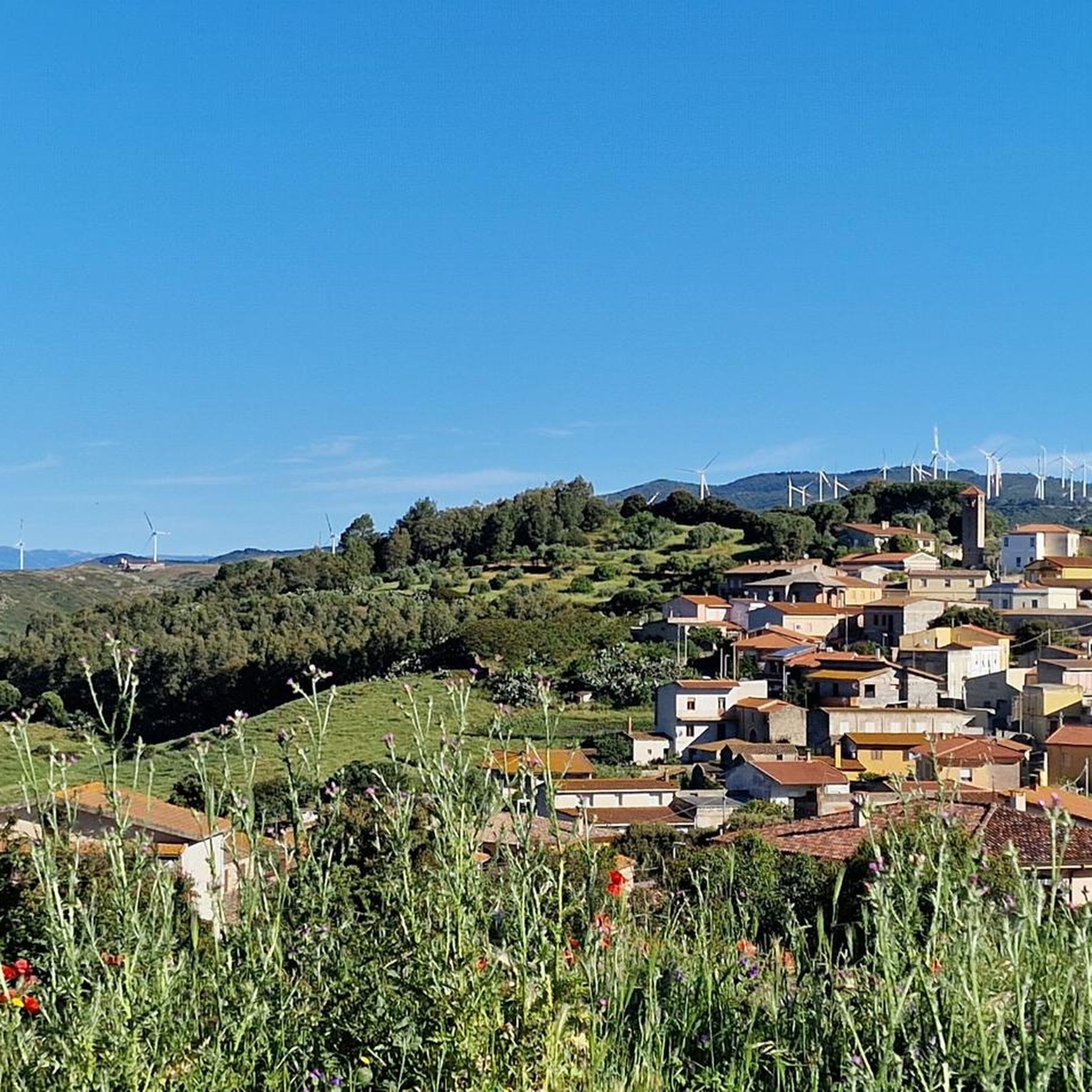
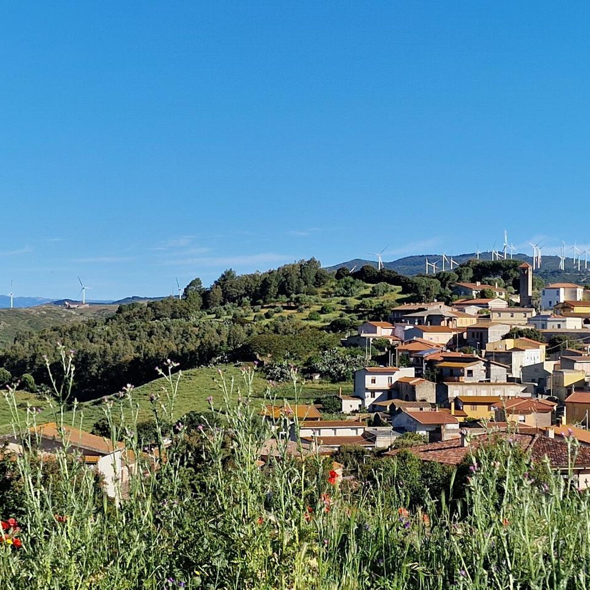
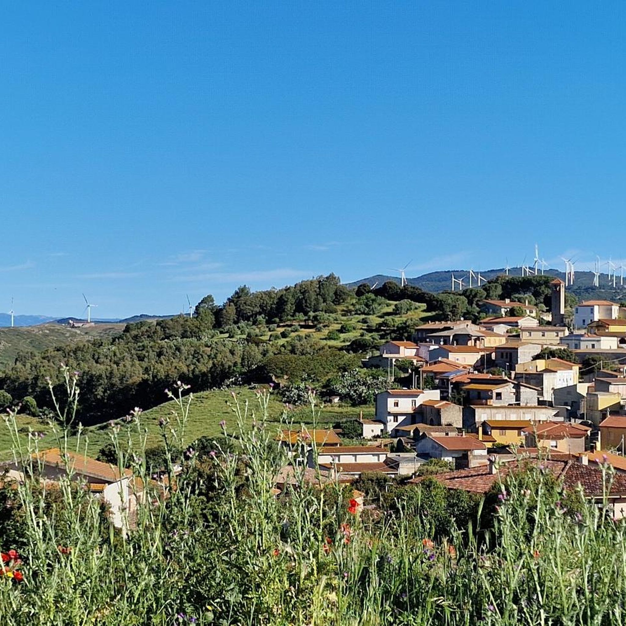
Jogging routes around Mogoredda/Mogorella traverse a landscape characterized by rugged terrain and green hills, offering diverse running experiences. The region is nestled at the base of Mount Grighine and surrounded by the lush Monte Arci park, featuring a vibrant Maquis shrubland. The topography provides a mix of terrain, from relatively easy paths to more challenging routes, ensuring varied inclines and declines for running.
Best jogging routes around Mogoredda/Mogorella
- The most popular jogging route is Running loop from Nureci, a…
Last updated: July 4, 2026
5
runners
15.3km
01:45
310m
310m
Hard run. Very good fitness required. Mostly paved surfaces. Suitable for all skill levels.
8
runners
9.78km
01:03
170m
160m
Moderate run. Good fitness required. Mostly paved surfaces. Suitable for all skill levels.

Sign up for free
7
runners
8.64km
01:06
440m
440m
Hard run. Very good fitness required. Mostly paved surfaces. Suitable for all skill levels.
2
runners
11.7km
01:14
100m
100m
Moderate run. Good fitness required. Mostly paved surfaces. Suitable for all skill levels.
1
runners
Moderate run. Good fitness required. Mostly paved surfaces. Suitable for all skill levels.
Our route recommendations are based on thousands of hikes, rides, and runs completed by other people on komoot.
Start today with a free account
Your next adventure awaits.
Login or Signup
Tips from the Community

The view of the Oristano valley from Monte Arci is spectacular
1
0

Cathedral of Saints Peter and Paul, the main place of worship in the city built in Baroque style by the Genoese architect Domenico Spotorno between the end of the 1600s and the beginning of the 1800s.
0
0

Starting from the pedemontana road or from the octagonal building, you arrive by following two different routes: through the gates. passing through mitza sa figu and cuccuru ureu, or by the "diagonal" whose entrance is located just ahead of the octagon. In both cases, the route on a fairly regular dirt road presents points with a considerable slope. Once you arrive at the belvedere (about 600 m above sea level) where there is also a service building, you can enjoy a view that embraces the entire Gulf of Oristano
3
0
Frequently Asked Questions
How many running routes are available in Mogoredda/Mogorella?
There are several dedicated running routes around Mogoredda/Mogorella. This guide features 5 distinct routes, offering a variety of distances and difficulty levels for runners to explore.
What is the typical terrain like for jogging in this region?
The terrain around Mogoredda/Mogorella is characterized by its ruggedness and green, hilly landscapes. Runners can expect varied inclines and declines, traversing through Mediterranean flora like cistus, arbutus, and holm oaks. The area is part of the predominantly hilly Marmilla region, ensuring a dynamic and engaging running experience.
Are there challenging running trails for experienced runners?
Yes, for those seeking a challenge, the region offers several difficult routes. For instance, the Running loop from Nureci is a demanding 9.8-mile (15.7 km) trail with significant elevation gain. Another challenging option is the Running loop from Ollasta Useddus/Albagiara, which spans over 17 miles (28.8 km) with considerable elevation changes.
Can I find moderate or easier running paths in Mogoredda/Mogorella?
Absolutely. If you prefer a more balanced run, the Running loop from Arruinas/Ruinas is a moderate 5.1-mile (8.2 km) path with balanced elevation changes. Another great moderate option is the Running loop from Abas/Ales, which is 4.1 miles (6.6 km) and takes about 42 minutes to complete.
Are there any scenic viewpoints or natural landmarks along the running routes?
The region is rich in natural beauty. While running, you might encounter stunning panoramas, especially from areas influenced by Monte Grighine. Nearby attractions include the Monte Arci - Beda Manca Viewpoint and the Truzzulla Lookout, offering breathtaking views that enhance your outdoor experience.
What kind of flora and fauna can I expect to see while running?
The area boasts vibrant Mediterranean flora, including cistus, arbutus, holm oaks, lentisks, myrtle, downy oaks, and cork oaks. This diverse vegetation creates a rich habitat for various animal species, offering a sensory experience as you run through the natural environment.
Are the running routes in Mogoredda/Mogorella suitable for families?
While specific family-friendly routes are not detailed, the presence of moderate paths like the Running loop from Abas/Ales could be suitable for active families. The natural surroundings and varied topography offer a great outdoor experience for all ages, though some routes are quite challenging.
Can I bring my dog on the running trails?
The natural environment of Mogoredda/Mogorella is generally welcoming for outdoor activities with dogs. However, it's always advisable to check local regulations or signage on specific trails regarding pets, especially in protected areas or near agricultural lands, to ensure a pleasant experience for everyone.
Is there parking available near the running route starting points?
While specific parking details for each route are not provided, as a rural area, parking is generally available in or near the villages where the loops begin, such as Nureci, Arruinas/Ruinas, Abas/Ales, or Ollasta Useddus/Albagiara. It's recommended to check local village information for designated parking spots.
What is the best time of year to go running in Mogoredda/Mogorella?
The region's Mediterranean climate makes spring and autumn ideal for running, with milder temperatures and lush landscapes. Summer can be quite hot, especially midday, so early morning or late afternoon runs are preferable. Winter offers cooler temperatures, but some trails might be muddy after rain.
What do other runners say about the trails in Mogoredda/Mogorella?
Over 20 runners have used komoot to explore the varied terrain around Mogoredda/Mogorella. They often praise the diverse landscapes, from green hills to rugged paths, and the opportunity to discover the authentic nature of Sardinia. The routes offer options for different ability levels, ensuring a rewarding experience for many.
Are there any long-distance running options in the area?
Yes, for those looking for longer runs, the Nuraghe in Ussaramanna loop from Ollasta Useddus/Albagiara is a substantial 21.4-mile (34.5 km) route. Another extensive option is the Running loop from Ollasta Useddus/Albagiara, covering 17.9 miles (28.8 km).
Most popular attractions around Mogoredda/Mogorella

Get inspired with the komoot mobile app


Explore more
Browse the best Running Trails & Routes in other regions.
