The best walks and hikes around Mogoredda/Mogorella
4.4
(22)
93
hikers
3
hikes
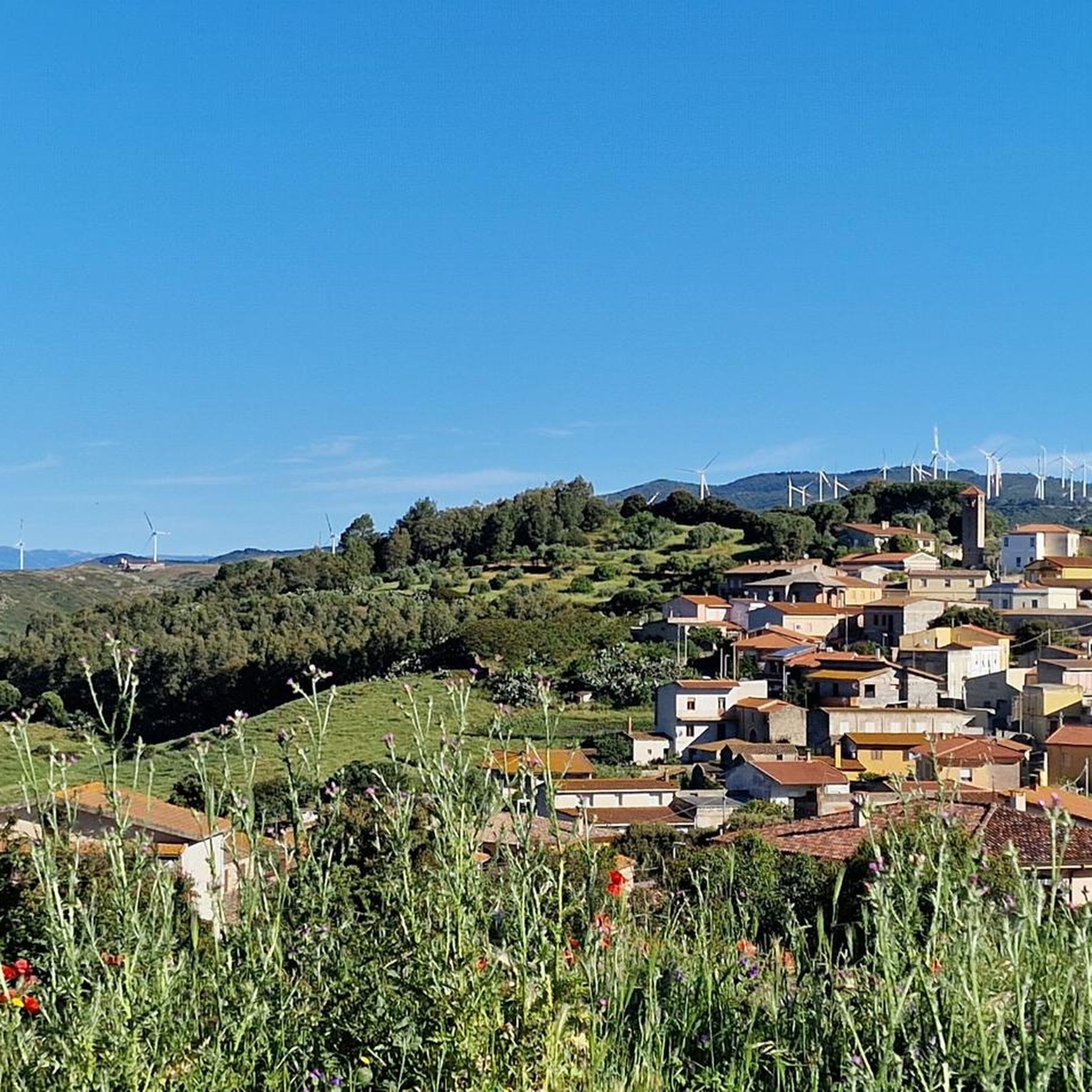
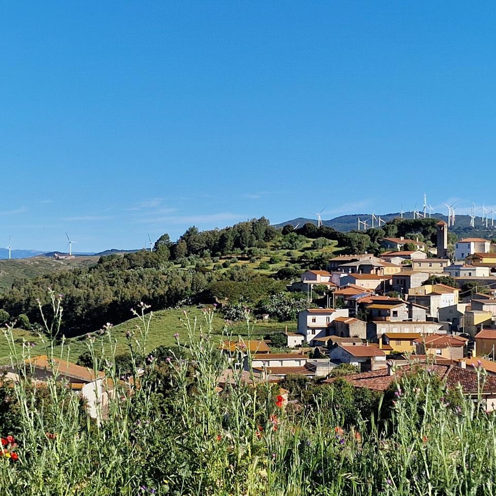
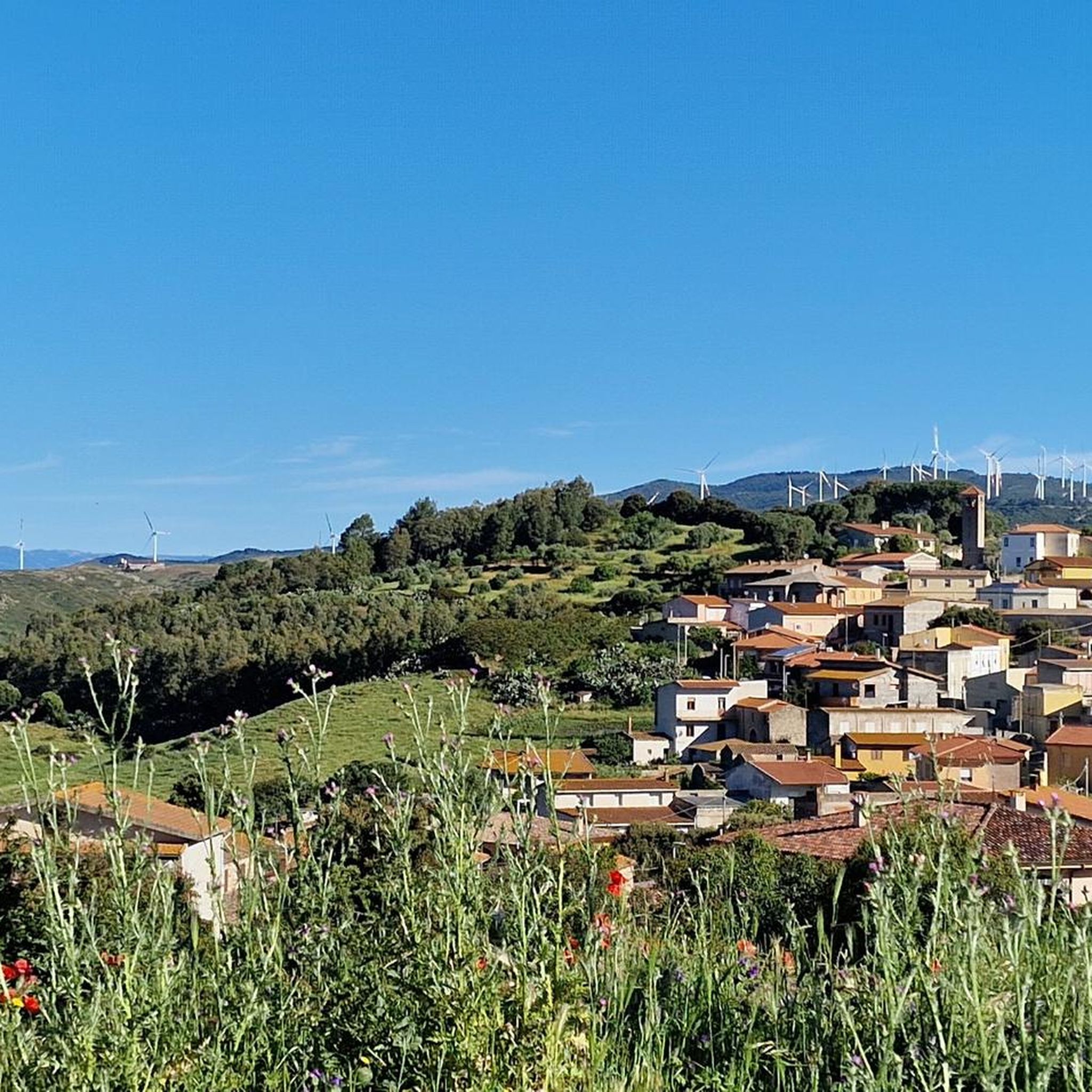
Hiking around Mogoredda/Mogorella, situated in the Oristano province of Sardinia, Italy, provides diverse landscapes for outdoor activities. The area is defined by the Monte Arci Park, featuring Mediterranean shrubland, holm oaks, and cork oaks. This varied terrain includes trails with elevation gains up to 1,000 feet, alongside historical attractions such as ancient Nuragic remnants.
Best hiking trails around Mogoredda/Mogorella
- The most popular hiking route is View of Beda Manca Valley loop from Mitza sa Figu, a 5.4 miles (8.7 km) trail that takes 2 hours 54 minutes to complete. This moderate route offers views of the Beda Manca Valley.
- Another top favourite among local hikers is Acquafrida – Monte Arci - Trebina Longa loop from Sennisceddu, a moderate 7.6 miles (12.3 km) path. This trail explores the Monte Arci area, known for its natural features.
- Local hikers also love the Punta su Ventosu – View of Beda Manca Valley loop from Sennisceddu, a 4.3 miles (7.0 km) trail leading through varied terrain, often completed in about 2 hours 3 minutes.
- Hiking around Mogoredda/Mogorella is defined by the Monte Arci Park, Mediterranean shrubland, and ancient Nuragic remnants. The network offers options for different ability levels, from moderate walks to more challenging treks.
- The routes in Mogoredda/Mogorella are highly rated by the komoot community with an average score of 4.3 stars from around 20 reviews. Nearly 80 hikers have used komoot to explore Mogoredda/Mogorella's varied terrain.
Last updated: June 24, 2026
5.0
(9)
23
hikers
8.70km
02:54
440m
440m
Moderate hike. Good fitness required. Easily-accessible paths. Suitable for all skill levels.
1.5
(2)
8
hikers
12.1km
03:30
300m
300m
Moderate hike. Good fitness required. Easily-accessible paths. Suitable for all skill levels.

Sign up for free
16
hikers
Moderate hike. Good fitness required. Easily-accessible paths. Suitable for all skill levels.
4.5
(2)
8
hikers
12.4km
04:00
550m
550m
Moderate hike. Good fitness required. Easily-accessible paths. Suitable for all skill levels.
5.0
(3)
13
hikers
8.84km
02:55
440m
440m
Moderate hike. Good fitness required. Easily-accessible paths. Suitable for all skill levels.
Our route recommendations are based on thousands of hikes, rides, and runs completed by other people on komoot.
Start today with a free account
Your next adventure awaits.
Login or Signup

Tips from the Community

Source of drinking water, often dry.
0
0

Two hard climbs in rapid sequence: the mum (even 18/20% gradient) up to pranu staddas; the Aru (with traits even over 20%). Dirt surface slippery in several sections.
0
0

The view of the Oristano valley from Monte Arci is spectacular
1
0
Volcanic black stone, highest point of Monte Arci
1
0
A small sign indicates this source on a detour from the main road, good fresh water
0
0

Summit of Monte Arci - about 820 m
2
0
Frequently Asked Questions
What kind of terrain can I expect on hikes around Mogoredda/Mogorella?
The hiking trails around Mogoredda/Mogorella offer a diverse range of terrain, primarily within the Monte Arci Park. You'll encounter lush Mediterranean shrubland, including holm oaks, cork oaks, cistus, and myrtle. The paths vary from moderate ascents with elevation gains up to 1,000 feet to more challenging treks with over 3,000 feet of elevation gain, requiring good fitness and sturdy shoes. Expect varied landscapes that provide both engaging natural experiences and scenic vistas.
Are there any easy or beginner-friendly hiking routes in the area?
While the guide primarily lists moderate routes, the region's varied terrain suggests options for different fitness levels. For those looking for a moderate but accessible experience, consider the Punta su Ventosu – View of Beda Manca Valley loop from Sennisceddu, which is 4.3 miles (7.0 km) long and typically takes about 2 hours 3 minutes to complete. This route offers a good introduction to the area's natural beauty.
What historical landmarks or points of interest can I see while hiking?
The Mogoredda/Mogorella area is rich in history, featuring several prehistoric Nuragic remnants. The most notable is the Protonuraghe Friarosu, a 'corridor' structured Nuraghe located on a 400-meter-high limestone plateau. Other Nuraghi like Aresti, Pastoris, Ruina Tassa, and Nuraghe Fenugu also add cultural depth to your hiking experience. These ancient structures offer a fascinating glimpse into the region's past alongside its natural beauty.
Are there any scenic viewpoints along the trails?
Yes, the area offers several scenic viewpoints. The View of Beda Manca Valley loop from Mitza sa Figu is specifically known for its views of the Beda Manca Valley. Additionally, you can find panoramic opportunities at the Monte Arci - Beda Manca Viewpoint and the Truzzulla Lookout, both offering stunning vistas of the surrounding landscapes.
What do other hikers enjoy most about the trails around Mogoredda/Mogorella?
The trails around Mogoredda/Mogorella are highly rated by the komoot community, with an average score of 4.3 stars from nearly 20 reviews. Hikers often praise the diverse natural environment within the Monte Arci Park, the varied terrain suitable for different fitness levels, and the presence of historical Nuragic sites that add a unique cultural dimension to their outdoor adventures.
Are there any circular hiking routes available?
Yes, many of the routes in Mogoredda/Mogorella are circular, allowing you to start and end at the same point. An example is the Acquafrida – Monte Arci - Trebina Longa loop from Sennisceddu, a moderate 7.6 miles (12.3 km) path that explores the natural features of the Monte Arci area.
What is the best time of year to go hiking in Mogoredda/Mogorella?
The diverse vegetation of the Monte Arci Park, with its Mediterranean shrubland, holm oaks, and cork oaks, makes hiking enjoyable across multiple seasons. Spring and autumn generally offer the most pleasant temperatures for hiking. While the guide doesn't specify winter conditions, the presence of varied terrain suggests that with appropriate gear, some trails might be accessible year-round, though cooler temperatures and potential rain should be considered.
Are the hiking trails around Mogoredda/Mogorella suitable for families?
The region offers varied terrain, and while specific 'family-friendly' routes are not explicitly detailed, the presence of moderate trails suggests options for families with some hiking experience. Routes like the Punta su Ventosu – View of Beda Manca Valley loop from Sennisceddu, which is shorter and takes about 2 hours, could be suitable for active families.
Can I bring my dog on the hiking trails?
The Monte Arci Park, which encompasses the hiking areas around Mogoredda/Mogorella, is a natural environment. While specific regulations for dogs on trails are not provided, it's generally advisable to keep dogs on a leash to protect local wildlife and ensure a pleasant experience for all hikers. Always check local signage for any specific restrictions.
What are the typical distances and elevation gains for hikes in this area?
Hikes in Mogoredda/Mogorella vary in length and elevation. You can find routes ranging from approximately 4.3 miles (7.0 km) to over 7.8 miles (12.6 km). Elevation gains typically range from around 200 meters (650 feet) to over 550 meters (1,800 feet), offering options for both moderate walks and more strenuous climbs. For example, the View of Beda Manca Valley – Acquafrida loop from Mitza sa Figu covers 7.8 miles (12.6 km) with an elevation gain of about 555 meters.
Is there parking available at the trailheads?
While specific parking information for individual trailheads is not detailed, hiking areas within natural parks like Monte Arci typically have designated parking spots or areas near common starting points. It is recommended to check local maps or komoot tour details for specific trailhead parking suggestions before your visit.
Are there any unique natural features to look out for?
Beyond the diverse Mediterranean flora, the Monte Arci Park is known for its rich ecosystem supporting various animal species. Keep an eye out for the unique geological formations and the lush vegetation that defines the park. You might also encounter the Grazing Wild Horses of Giara di Gesturi, a notable natural attraction in the broader region.
Most popular attractions around Mogoredda/Mogorella

Get inspired with the komoot mobile app


Explore more
Browse the best Hikes in other regions.
