The best running trails around Marliana
4.1
(139)
3,781
runners
351
runs
Jogging around Marliana offers a compelling experience through its diverse terrain, characterized by a hilly environment with varied inclines and descents. The region features numerous routes that often weave through forested areas, providing expansive views of the surrounding countryside. Many paths are easily accessible, catering to a range of abilities and allowing runners to immerse themselves in nature.
Best jogging routes around Marliana
- The most popular jogging route is Running loop from Montecatini Alto, a 4.3 miles (6.9 km) trail that takes about 54 minutes to complete, offering moderate challenges and scenic views.
- Another top favourite among local runners is Avaglio Church loop from Avaglio, a moderate 5.9 miles (9.4 km) path winding through the local landscape with varied elevation.
- Local runners also love the Running loop from Serravalle Pistoiese, a 4.4 miles (7.0 km) trail leading through the hilly countryside, often completed in about 49 minutes.
- Jogging around Marliana is defined by its hilly environment, forested areas, and varied inclines, with routes offering options for different ability levels.
- The routes in Marliana are highly rated by the komoot community with an average score of 4.2 stars from over 80 reviews. More than 3000 runners have used komoot to explore Marliana's varied terrain.
Last updated: June 29, 2026
4.8
(4)
34
runners
Moderate run. Good fitness required. Mostly paved surfaces. Suitable for all skill levels.
4.4
(5)
11
runners
Moderate run. Good fitness required. Mostly paved surfaces. Suitable for all skill levels.

Sign up for free
13
runners
9.41km
01:06
280m
270m
Moderate run. Good fitness required. Mostly paved surfaces. Suitable for all skill levels.
7
runners
5.72km
00:38
140m
140m
Moderate run. Good fitness required. Mostly paved surfaces. Suitable for all skill levels.
5
runners
7.02km
00:49
220m
220m
Moderate run. Good fitness required. Mostly paved surfaces. Suitable for all skill levels.
Get access to more routes and recommendations from other explorers.
Sign up for free
Already have an account?
Our route recommendations are based on thousands of hikes, rides, and runs completed by other people on komoot.
Start today with a free account
Your next adventure awaits.
Login or Signup

Tips from the Community

Piazza del Mercato in Montecatini Alto, which houses the statue of the poet Giuseppe Giusti. The square is dominated by the Church of Fonte Nuova, famous for its miraculous cave from which a spring flows that allowed the church to be completed during a drought. Every year the Santissima Madre della Fonte Nuova is celebrated here.
1
0

Mountain station of the funicular. The view is simply overwhelming.
0
0

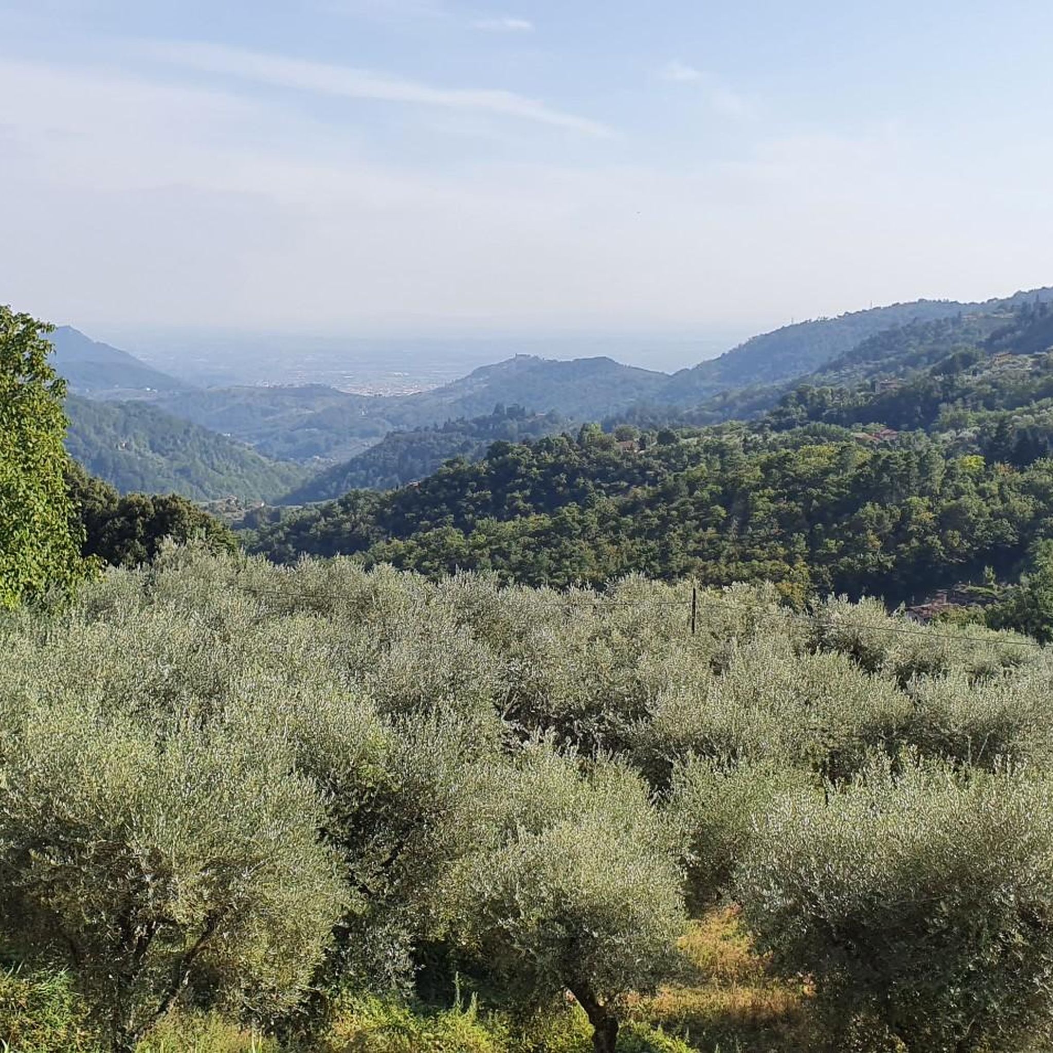
It is located on the southern slope of the Pistoia mountains, in a panoramic position, at the center of the head of the Nievole valley, facing Montecatini Terme and Monsummano Terme; it is located at an altitude of m. 750 above sea level, therefore intermediate between the Valdinievole plain and the highest peaks of the Tuscan-Emilian Apennines. The area where Avaglio stands is covered by sunny slopes, vast cultivated areas and above all by thick woods, mainly of chestnut but also of acacia, Turkey oak, fir and maple. Source: https://it.wikipedia.org/wiki/Avaglio_(Marliana)
0
0

July 2022: The Way of the Cross is currently closed due to repair work. It is better to ask beforehand whether the path is free again.
0
0

On the Piazza Giuseppe Giusti there are lots of nice bars and restaurants that invite you to stop by. The piazza itself with its buildings is absolutely worth seeing.
1
0

Montecatini alto has three towers. One tower is part of the remains of the castle, the second is the clock tower and the last is in front of the monastery of Santa Maria a Ripa (century XVI). This monastery is the only one that has been inhabited by the Benedictine nuns since 1861. The old Augustinian monastery of Santa Margherita now houses a rest home.
0
0
One way with the funicular, back on the Way of the Cross through olive groves
0
0
Definitely recommended, taking the funicular. 4 euros per person, dogs free, but with a muzzle that can be borrowed free of charge at the checkout. Tip One way by train, Way of the Cross back
0
0
Frequently Asked Questions
How many running routes are available around Marliana?
Marliana offers a wide selection of running routes, with over 300 trails available for exploration. These routes cater to various fitness levels, from easy strolls to more challenging ascents.
What kind of terrain can I expect on running routes in Marliana?
The running routes in Marliana are characterized by a diverse, hilly environment, featuring varied inclines and descents. You'll often find yourself weaving through beautiful forested areas, which provide both shade and expansive views of the surrounding countryside.
Are there easy running routes suitable for beginners in Marliana?
Yes, Marliana has several easy running routes perfect for beginners or those looking for a less strenuous run. For example, the region offers 16 routes classified as easy, ensuring there's something for every skill level.
Can I find challenging running trails in Marliana?
Absolutely. For experienced runners seeking a challenge, Marliana provides 86 difficult routes. One such demanding option is the Sammommè – Piteccio Railway Bridge loop from Le Piastre, which spans over 33 km with significant elevation changes, requiring very good fitness and sure-footedness.
Are there any running routes that offer scenic viewpoints or historical landmarks?
Many running routes in Marliana pass by interesting landmarks and offer scenic views. You can explore areas with historical significance like the Vinacciano Historic Village or enjoy breathtaking vistas such as the View of Montecarlo and the Valdinievole Valley. Some trails also lead near charming castles like the Cozzile Castle and the Clock Tower.
Are the running routes in Marliana suitable for families?
Yes, many paths in Marliana are easily accessible and suitable for a range of abilities, making them ideal for families. While specific 'family-friendly' designations aren't always explicit, the variety of easy and moderate routes means you can find options that are enjoyable for all ages.
What do other runners enjoy most about jogging in Marliana?
The running routes in Marliana are highly rated by the komoot community, with an average score of 4.2 stars from over 80 reviews. Runners often praise the diverse terrain, the immersive natural surroundings, and the expansive views of the countryside.
Are there any circular running routes in Marliana?
Yes, many of the running routes in Marliana are designed as loops, allowing you to start and finish at the same point. An example of a popular circular route is the Grotta Maona loop from Montecatini Alto, which offers a moderate run through the local landscape.
What is the best time of year to go running in Marliana?
Marliana's diverse terrain makes it suitable for running throughout much of the year. However, the spring and autumn months generally offer the most pleasant temperatures and vibrant scenery, making them ideal for exploring the trails. Always check local weather conditions before heading out.
Are there any running routes that start from specific towns or villages in the Marliana area?
Yes, several routes conveniently start from local towns and villages. For instance, you can find a popular running loop that begins from Montecatini Alto, or another that sets off from Avaglio, providing easy access to the trails.
How long do running routes in Marliana typically take to complete?
The duration of running routes in Marliana varies significantly based on distance and difficulty. Many moderate routes, like the Running loop from Serravalle Pistoiese, can be completed in under an hour. More strenuous options, however, can take several hours, especially those with significant elevation gain.
Most popular attractions around Marliana

Get inspired with the komoot mobile app


Explore more
Browse the best Running Trails & Routes in other regions.
