The best road cycling routes around Vaglia
4.5
(711)
23,153
riders
11
rides
Road cycling routes around Vaglia navigate a landscape characterized by significant elevation changes, including mountain passes and summits. The region features a mix of challenging climbs and descents, with routes often traversing through hilly terrain. Key geographical features include passes like Muraglione and Giogo, alongside prominent summits such as Le Croci. This area offers diverse road cycling experiences for those seeking varied gradients.
Best road cycling routes around Vaglia
- The most popular road cycling route is Muraglione Pass – Lamone…
Last updated: May 28, 2026
5.0
(2)
145
riders
128km
06:38
2,250m
2,250m
Hard road ride. Very good fitness required. Mostly well-paved surfaces and easy to ride.
5.0
(1)
61
riders
31.9km
01:47
650m
650m
Moderate road ride. Good fitness required. Mostly well-paved surfaces and easy to ride.

Sign up for free
53
riders
74.3km
03:21
780m
780m
Moderate road ride. Good fitness required. Mostly well-paved surfaces and easy to ride.
22
riders
38.7km
01:45
390m
390m
Moderate road ride. Good fitness required. Mostly well-paved surfaces and easy to ride.
10
riders
22.8km
01:14
370m
370m
Moderate road ride. Good fitness required. Mostly well-paved surfaces and easy to ride.
Get access to more routes and recommendations from other explorers.
Sign up for free
Already have an account?
Our route recommendations are based on thousands of hikes, rides, and runs completed by other people on komoot.
Start today with a free account
Your next adventure awaits.
Login or Signup

Tips from the Community

Nestled in a flat area wedged between verdant mountains, Dicomano is the gateway to Casentino, Mugello, and Valdisieve. Thanks to its fortunate geographical position, it has developed since ancient times as a large market, a tradition still confirmed today by the fairs it hosts in autumn and spring.
0
0

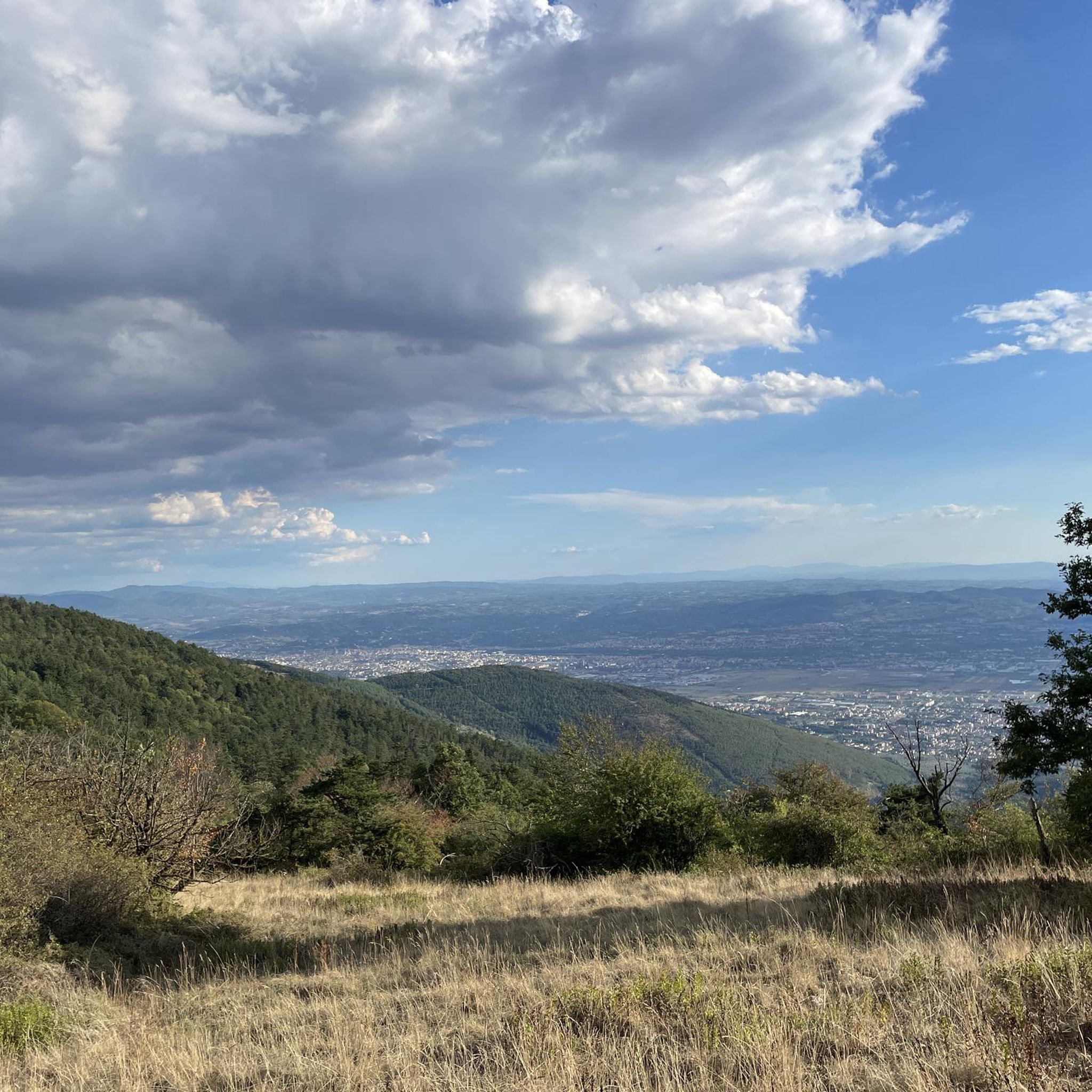
Starting from Florence, the climb presents few difficulties and is pleasant. The climb to Fiesole is the toughest part, but it's less than four kilometers with an average gradient of 5% and a peak of 8%. After passing the Fiesole square, there are about 10 kilometers of road, mostly uphill but with a fairly easy gradient, and the view that opens up over the valley makes the effort worthwhile. At the intersection of roads that we Florentines call the "four roads," you can turn right, take the final ramp and descend into the beautiful Mugello valley, but in this case I continued straight to the village of Bivigliano. The road isn't long but includes a short 11% climb, fortunately very brief. In Bivigliano, there are refreshments and a public fountain in the square.
0
0

Great for a quick break, nice view, only outdoor
0
0

Village of Villages
0
0

Very few cars, cyclists to/from Vetta Le Croci and Apennine passes
0
0

Tourist hotspot, beautiful view, ancient amphitheater
0
0

good secondary route with less traffic
0
0
good opportunity for a break and refill
0
0
Frequently Asked Questions
How many road cycling routes are available around Vaglia?
There are 11 road cycling routes around Vaglia, offering diverse experiences for cyclists seeking varied gradients and challenging terrain.
What is the general difficulty level of road cycling routes in Vaglia?
The road cycling routes around Vaglia are primarily moderate to difficult. There are 5 moderate and 6 difficult routes available, characterized by significant elevation changes, including mountain passes and summits like Muraglione and Giogo.
Are there any beginner-friendly road cycling routes in Vaglia?
The road cycling routes in Vaglia are generally suited for moderate to experienced cyclists, with no easy routes listed. The terrain often includes challenging climbs and descents.
What are some of the most scenic viewpoints along the road cycling routes in Vaglia?
Many routes offer scenic views, particularly those that climb to summits. For instance, the Le Croci Summit – Scenic View Towards Pratolino loop from Mulinaccio provides stunning vistas towards Pratolino. You can also find beautiful views from highlights like the Rose Garden or from various summits such as Croce della Retaia and Monte Maggiore Summit.
What is the best time of year for road cycling in Vaglia?
The best time for road cycling in Vaglia is typically during the spring (April to June) and autumn (September to October) when the weather is milder and the landscapes are vibrant. Summers can be hot, especially on exposed climbs, while winters may bring colder temperatures and potential for snow at higher elevations.
Are there any loop road cycling trails in Vaglia?
Yes, many of the road cycling routes in Vaglia are loops. Examples include the challenging Muraglione Pass – Lamone River in Marradi loop from Vaglia and the moderate Passo del Giogo – Passo del Giogo di Scarperia loop from Vaglia.
What can I expect in terms of duration for road cycling routes in Vaglia?
Route durations vary significantly based on distance and elevation. Shorter, moderate routes like the Scenic View Towards Pratolino – Le Croci Summit loop from Montorsoli can take around 1 hour 47 minutes, while longer, difficult routes such as the Muraglione Pass – Lamone River in Marradi loop from Vaglia can take over 6 hours.
What do other road cyclists enjoy most about road cycling in Vaglia?
The road cycling routes in Vaglia are highly rated by the komoot community, with an average score of 4.6 stars from over 700 reviews. Cyclists often praise the challenging climbs, the rewarding descents, and the scenic beauty of the Tuscan landscape, particularly the views from mountain passes and summits.
Are there any notable landmarks or attractions near the road cycling routes in Vaglia?
Yes, Vaglia is close to several significant attractions. You can find natural monuments like Piazzale Leonardo and the Monument to Leonardo da Vinci’s Flight, or explore historical sites in nearby Florence such as the Florence Cathedral, Ponte Vecchio, and Piazza della Signoria and the Palazzo Vecchio.
Where can I find GPS data for road cycling routes in Vaglia?
All road cycling routes listed on komoot, including those around Vaglia, provide detailed GPS data. You can access and download the GPX files directly from each route's page, such as the Le Croci Summit – Scenic View Towards Pratolino loop from Vaglia, to navigate your ride.
Are there opportunities for coffee stops or refreshments along the road cycling routes?
While specific coffee stops are not detailed for every route, the region's routes often pass through small towns and villages where you can find cafes, bars, or trattorias. Planning your route with komoot allows you to identify potential refreshment points along the way.
Most popular attractions around Vaglia

Get inspired with the komoot mobile app


Explore more
Browse the best Road cycling routes in other regions.
