The best walks and hikes around Vaglia
4.6
(404)
2,200
hikers
53
hikes
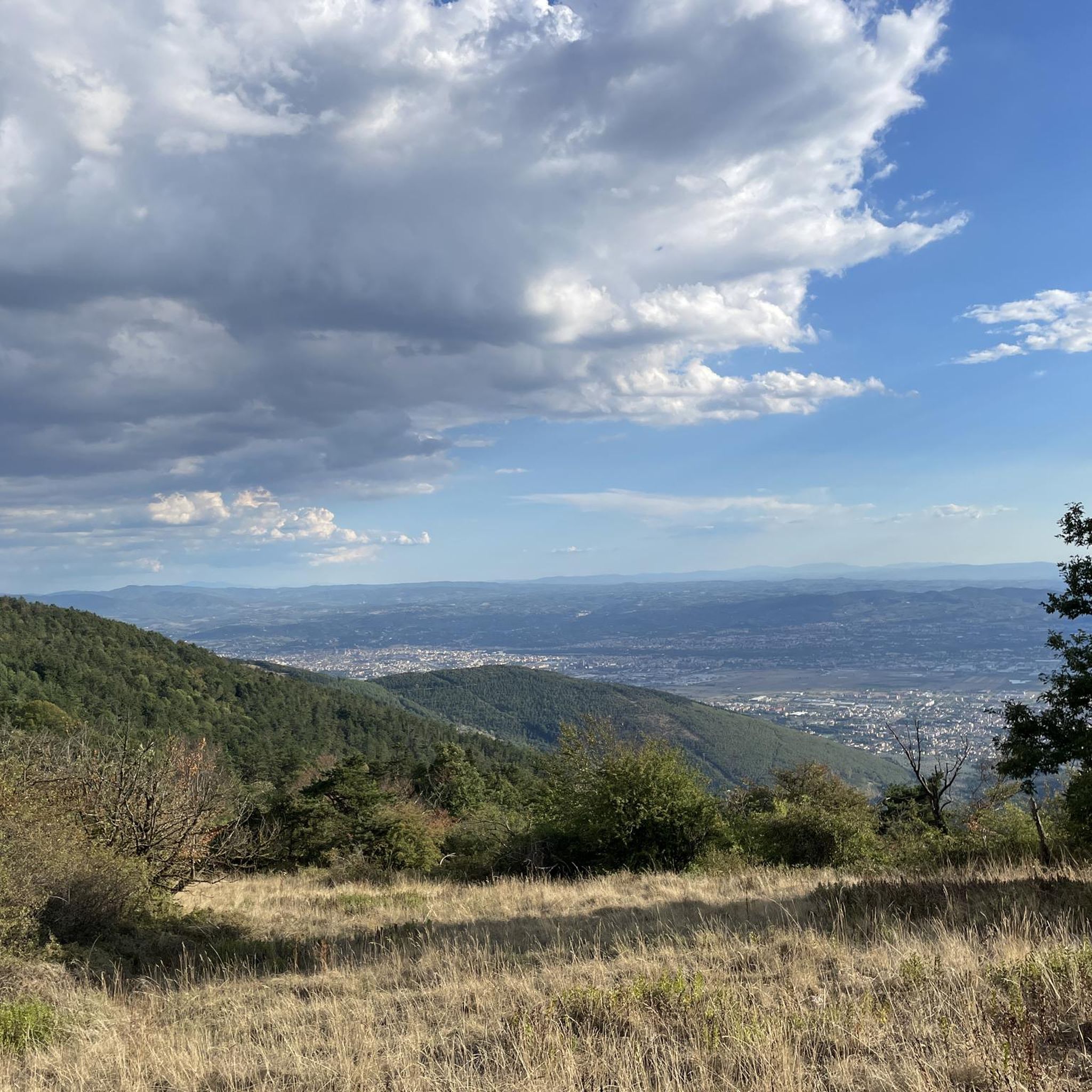
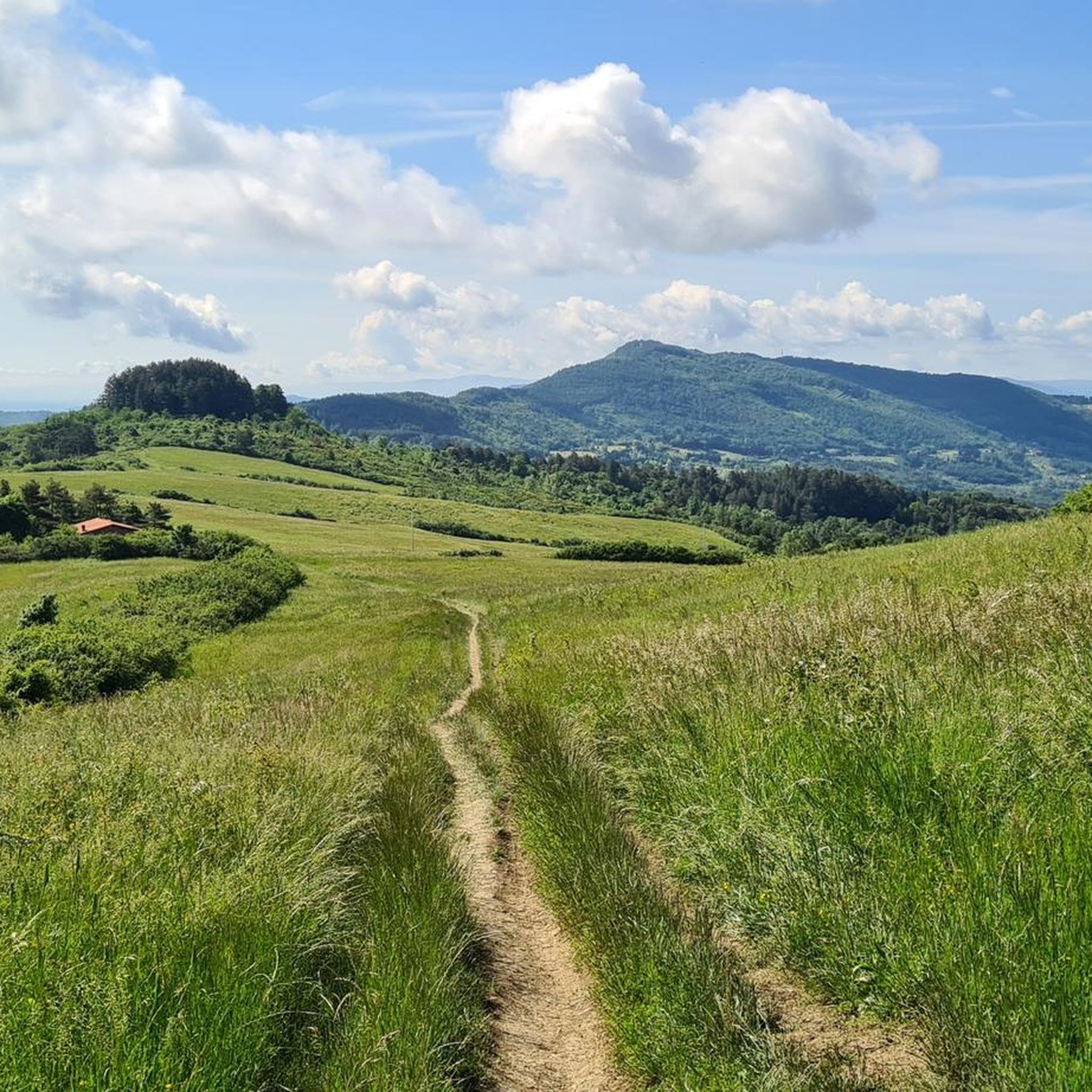
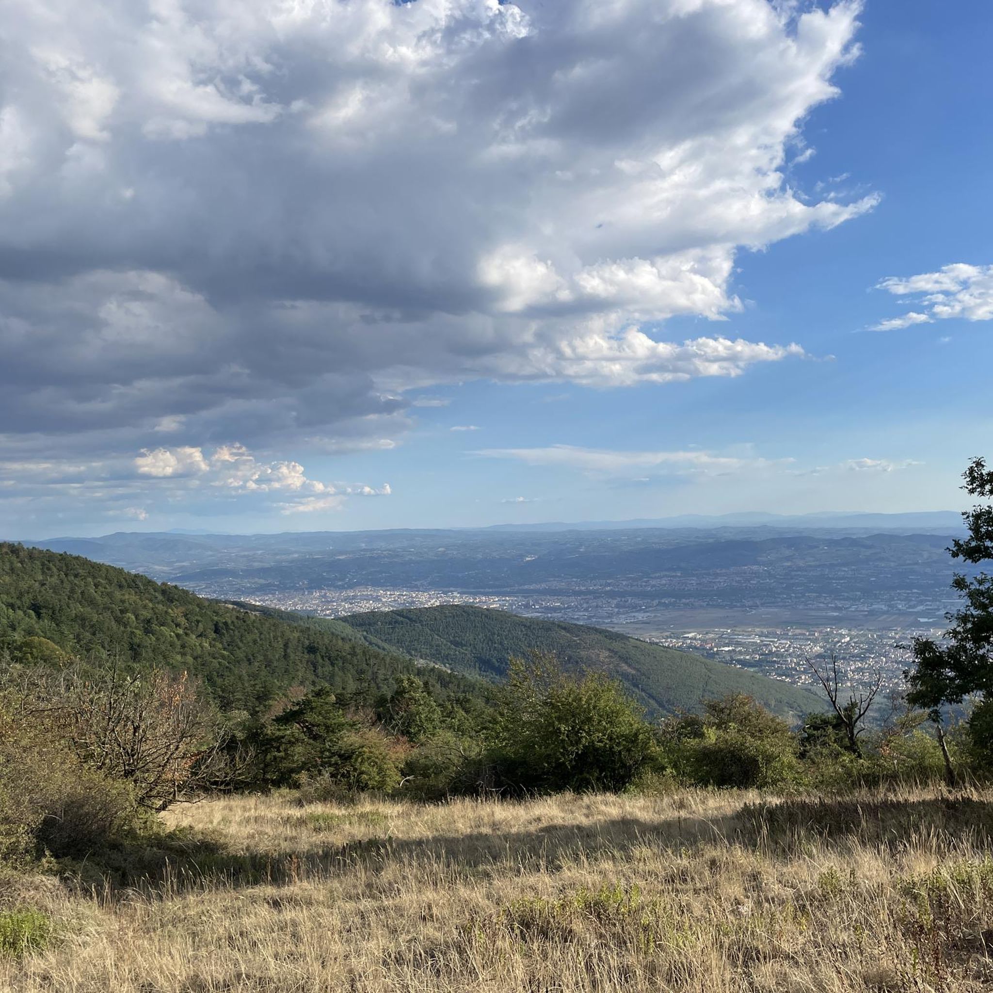
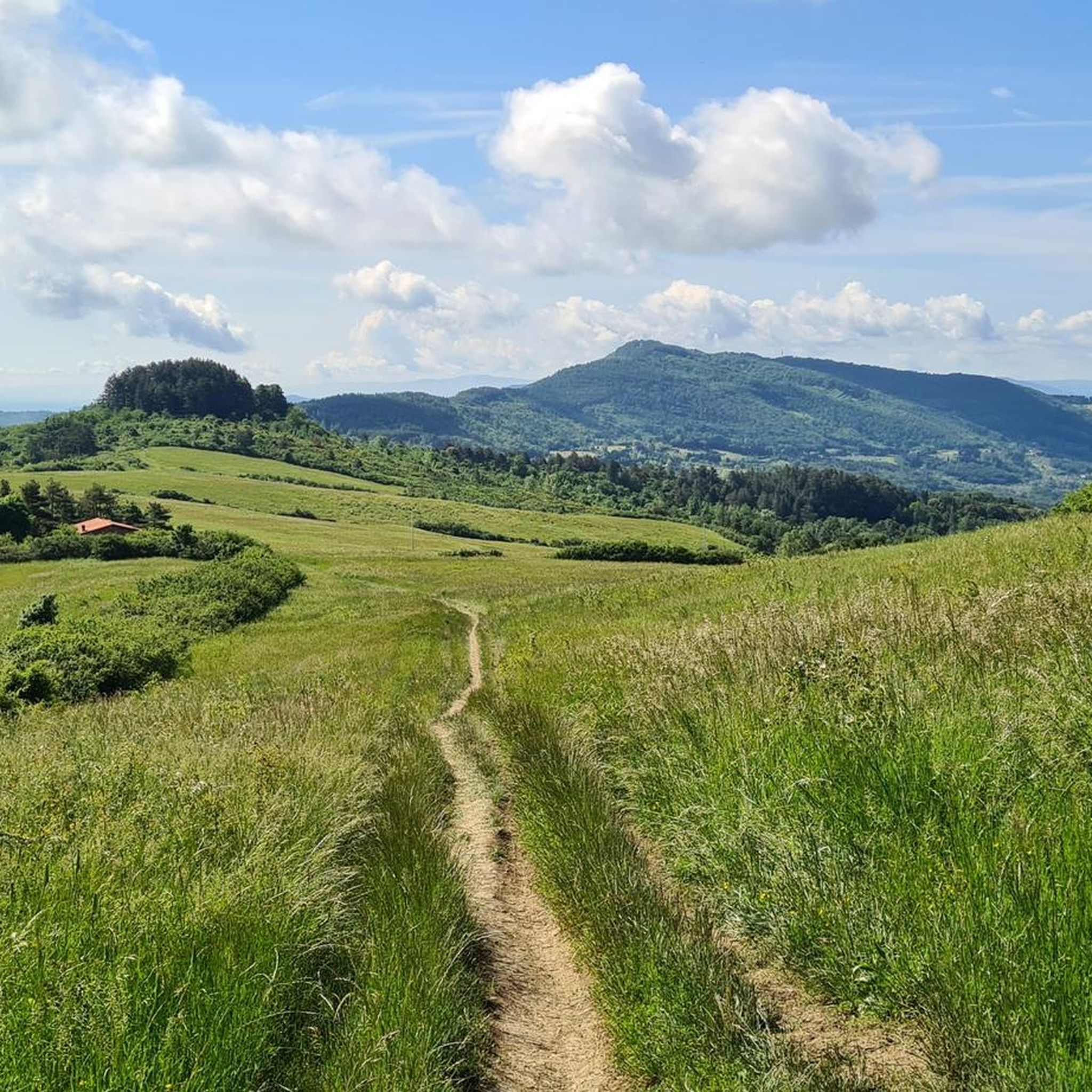
Hiking around Vaglia offers diverse landscapes, transitioning from the Fiesole hills to the Mugello mountains. The region features rolling hills, dense forest-covered slopes, and elevated areas providing panoramic views. This varied terrain provides a range of hiking opportunities for different skill levels.
Best hiking trails around Vaglia
- The most popular hiking route is Monte Senario Sanctuary – Montesenario Ice House loop from Bivigliano, a 6.5 miles (10.5 km) trail that takes 3 hours 9 minutes to complete. This route…
Last updated: May 18, 2026
4.4
(27)
78
hikers
10.8km
03:14
320m
320m
Moderate hike. Good fitness required. Mostly accessible paths. Sure-footedness required.
4.6
(15)
166
hikers
22.3km
06:48
780m
780m
Hard hike. Very good fitness required. Easily-accessible paths. Suitable for all skill levels.

Sign up for free
4.3
(20)
48
hikers
18.4km
05:36
600m
600m
Hard hike. Very good fitness required. Mostly accessible paths. Sure-footedness required.
4.2
(10)
26
hikers
Moderate hike. Good fitness required. Mostly accessible paths. Sure-footedness required.
4.9
(7)
15
hikers
7.07km
02:10
230m
230m
Moderate hike. Good fitness required. Mostly accessible paths. Sure-footedness required.
Get access to more routes and recommendations from other explorers.
Sign up for free
Already have an account?
Our route recommendations are based on thousands of hikes, rides, and runs completed by other people on komoot.
Start today with a free account
Your next adventure awaits.
Login or Signup

Tips from the Community

Perfectly suited as a break on the Via degli Dei. There are toilets, a water point, and a bar selling ice cream and snacks. The abbey has an impressive altar.
0
0
If you're lucky, there are some snacks and drinks here for the Via degli Dei trail.
0
0

after a good climb, a well-deserved rest
0
0

a lot of ribbons and various things, memories of someone or thoughts that want to be sent from the heart.
0
0
excellent refreshment point, you eat well.
0
0


Small cafe next to the restaurant. Really kind service, great snacks and good coffee :)
0
0
Frequently Asked Questions
How many hiking trails are available around Vaglia?
Vaglia offers a wide variety of hiking opportunities, with over 50 routes available. These range from easy strolls to challenging treks, catering to different fitness levels and preferences.
Are there easy hiking trails suitable for beginners or families in Vaglia?
Yes, Vaglia has 18 easy trails perfect for beginners or families. An example is the Monte Senario Sanctuary – Sacred Hermitage of Monte Senario loop from Bivigliano, which is an easy 6.5 km route. The region's rolling hills and dense forests provide a gentle introduction to hiking.
What kind of landscapes can I expect to see while hiking in Vaglia?
Hiking in Vaglia offers diverse landscapes, as the area transitions from the Fiesole hills to the Mugello mountains. You'll encounter rolling hills, dense forest-covered slopes, and elevated areas that provide breathtaking panoramic views, especially from spots like the Santuario di Monte Senario.
Are there any circular hiking routes in Vaglia?
Yes, many routes in Vaglia are circular. For instance, the popular Monte Senario Sanctuary – Montesenario Ice House loop from Bivigliano is a moderate 10.5 km circular trail. Another option is the more challenging Montesenario Ice House – Monte Senario Sanctuary loop from Vaglia, an 18.4 km loop through dense forests.
What are some notable attractions or landmarks I can see along the trails in Vaglia?
Vaglia's trails often lead to or pass by interesting landmarks. You can explore historical sites like the Pieve di San Pietro in Vaglia or the ancient Parish Church of San Cresci. For natural beauty, look for highlights such as the Borro Waterfall and Pond or the Rio Buti Waterfall. The Castello del Trebbio is also a point of interest on some routes, such as the Buonsollazzo Abbey – Castello di Trebbio loop from Bivigliano.
Are there any waterfalls to discover while hiking in Vaglia?
Yes, the Vaglia area features several beautiful waterfalls. You can find highlights like the Borro Waterfall and Pond, the Rio Buti Waterfall, and the Waterfall of Torrente Terzolle, offering picturesque spots for a break.
What do other hikers enjoy most about hiking in Vaglia?
The hiking routes in Vaglia are highly rated by the komoot community, with an average score of 4.6 stars from nearly 400 reviews. Hikers often praise the diverse terrain, the peaceful forest paths, and the rewarding panoramic views from elevated points like Monte Senario.
Is Vaglia well-connected by public transport for hikers?
Vaglia is a village nestled between Florence and the Mugello region. While specific public transport options to trailheads vary, the village itself is generally accessible. For detailed information on bus or train connections to Vaglia or nearby starting points, it's advisable to check local public transport schedules.
Are there places to park near the hiking trailheads in Vaglia?
Parking availability can vary by trailhead. Many routes, especially those starting from villages like Vaglia or Bivigliano, typically have designated parking areas or street parking nearby. It's recommended to check the specific tour details on komoot for information on parking at your chosen starting point.
What is the best time of year to go hiking in Vaglia?
Vaglia offers pleasant hiking conditions for much of the year. Spring and autumn are particularly ideal, with mild temperatures and vibrant natural colors. Summer can be warm, so early morning or late afternoon hikes are recommended. While winter hiking is possible, some higher elevation trails might be affected by colder weather, so checking conditions beforehand is wise.
Can I bring my dog on the hiking trails in Vaglia?
Generally, many trails in the Vaglia region are dog-friendly, allowing you to enjoy the natural beauty with your canine companion. However, it's always best to check local regulations for specific trails or protected areas, and to keep your dog on a leash, especially near wildlife or other hikers.
Most popular attractions around Vaglia

Get inspired with the komoot mobile app


Explore more
Browse the best Hikes in other regions.
