The best running trails around San Potito Sannitico
59
runners
25
runs
Jogging routes around San Potito Sannitico traverse the Matese Massif, offering diverse landscapes within the Matese Regional Park. The region features rugged mountains, deep valleys, and lush forests, with terrain ranging from gentle paths to more challenging ascents. Routes often connect local villages and agricultural areas, providing views of the surrounding hills and the serene Lake Matese. The area is characterized by rolling hills and a mix of paved and unpaved surfaces.
Best jogging routes around San Potito Sannitico
- The…
Last updated: July 8, 2026
2
runners
8.57km
01:27
90m
90m
This difficult 5.3-mile jogging ring tour in Matese Regional Park offers 301 feet of elevation gain and takes about 1 hour 26 minutes.
4.16km
00:31
100m
100m
Enjoy an easy 2.6-mile jogging loop through the scenic Matese Regional Park, passing the Ecocampus Monte Orso Refuge.

Sign up for free
8.62km
01:41
420m
420m
Hard run. Very good fitness required. Sure-footedness, sturdy shoes and alpine experience required.
8
runners
17.4km
01:56
180m
180m
Hard run. Very good fitness required. Mostly paved surfaces. Suitable for all skill levels.
4
runners
11.8km
01:13
80m
80m
Moderate run. Good fitness required. Mostly paved surfaces. Suitable for all skill levels.
Get access to more routes and recommendations from other explorers.
Sign up for free
Already have an account?
Our route recommendations are based on thousands of hikes, rides, and runs completed by other people on komoot.
Start today with a free account
Your next adventure awaits.
Login or Signup
Other adventures around San Potito Sannitico

Tips from the Community

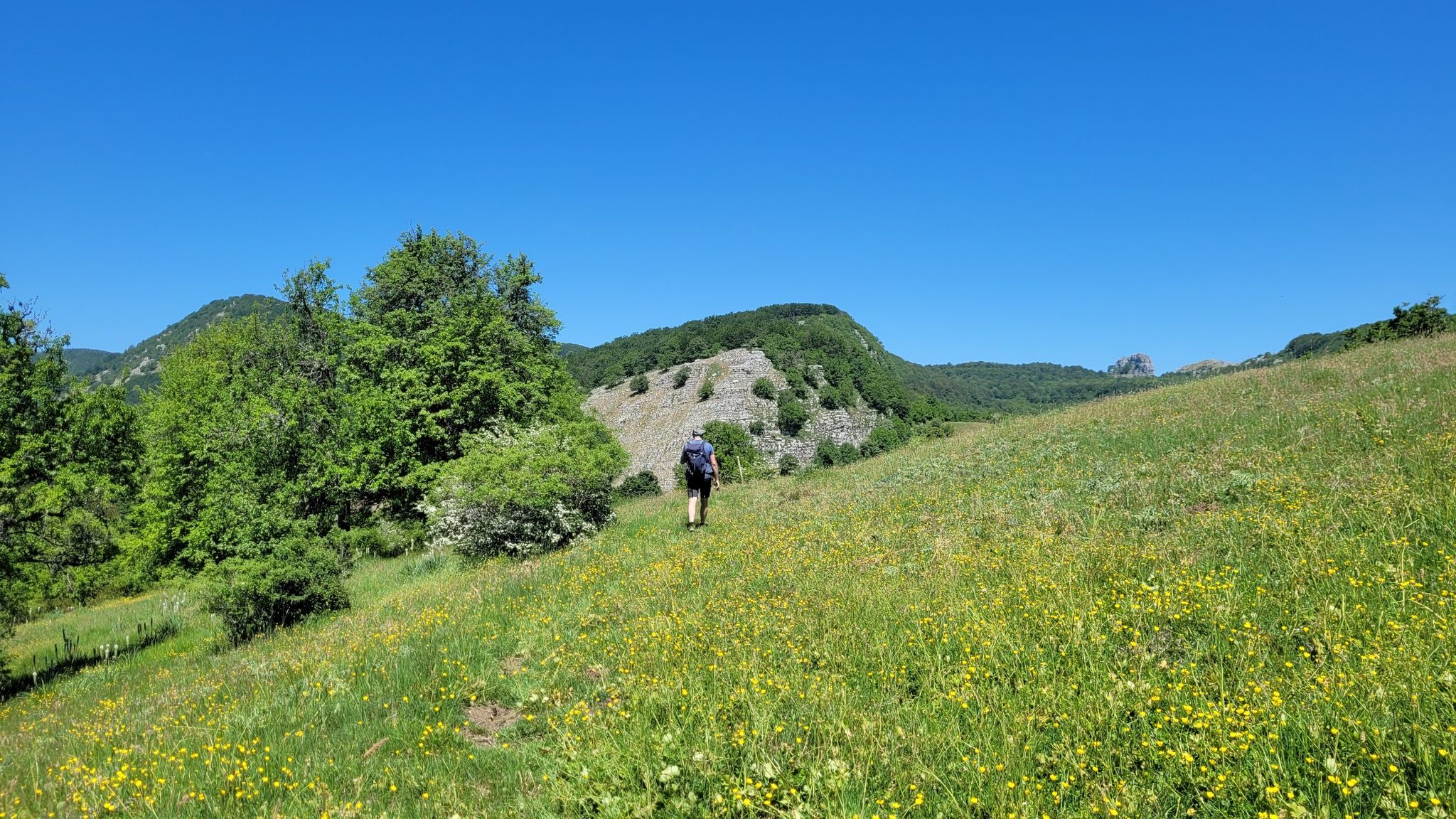
Piedimonte Matese is a municipality in the province of Caserta, located between the Campania plain and the Matese massif. It is located at the foot of Mount Muto, near the 'Castello terrace', where the town of Castello del Matese stands.
1
0

Beautiful Campania regional park full of paths and hiking trails. Famous above all for the homonymous lake.
1
0

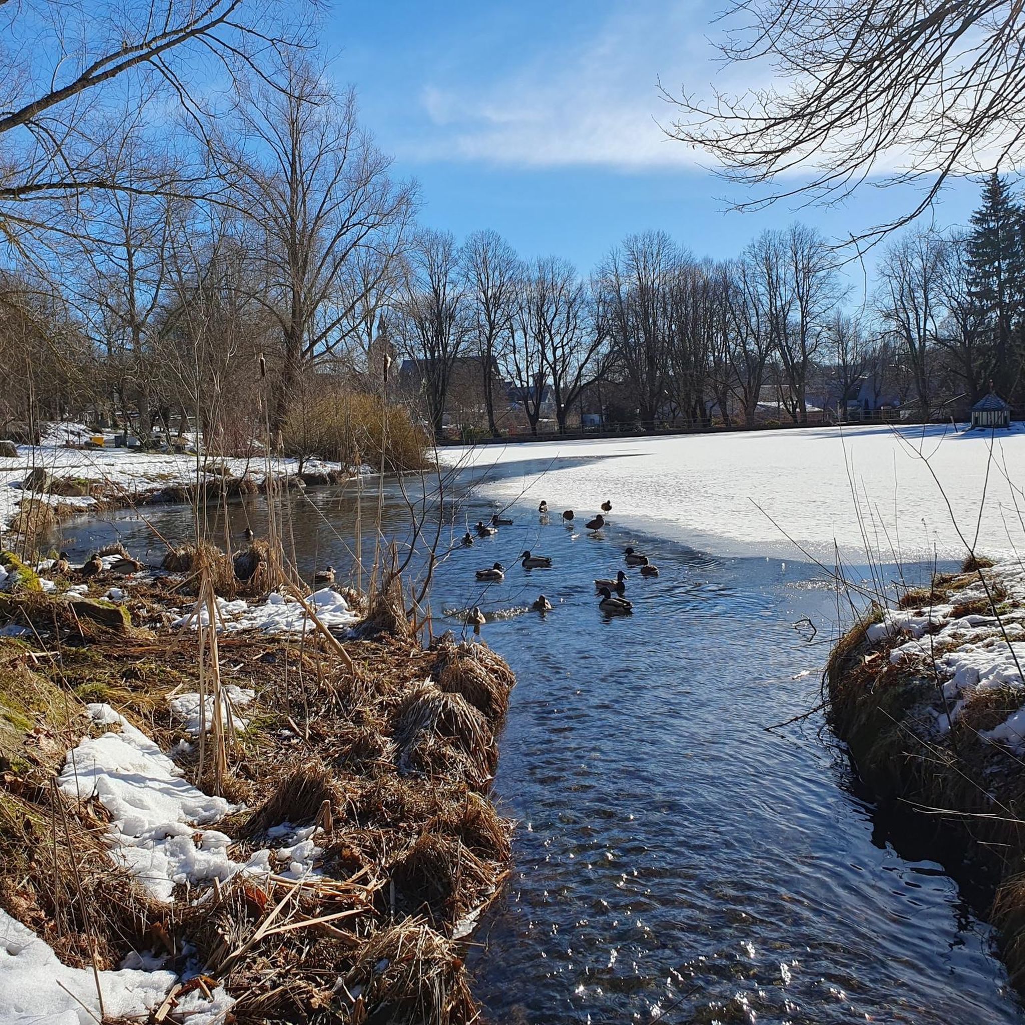
Lake Matese is a karst lake located at just over 1,000 meters above sea level in the Matese Regional Park and nestled in the Matese massif. The lake has no tributaries, but fills with water coming from melting snow and from some perennial springs.
2
0

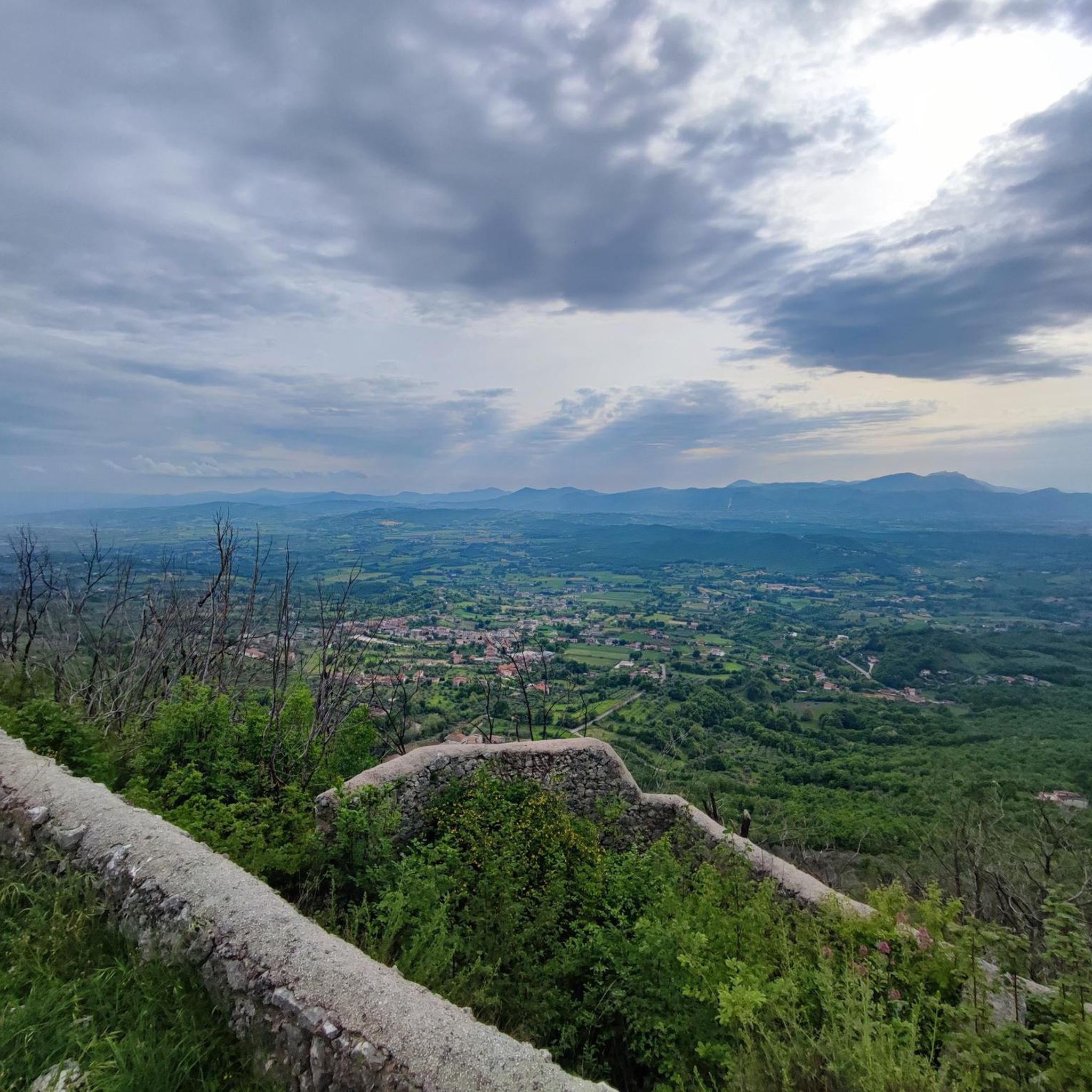
This rooftop terrace offers a breathtaking view of the Maltese lake.
1
0
The Monte Orso ecocampus, also known as the Santa Maria Valley Refuge, is located at an altitude of 1500 metres.
1
0
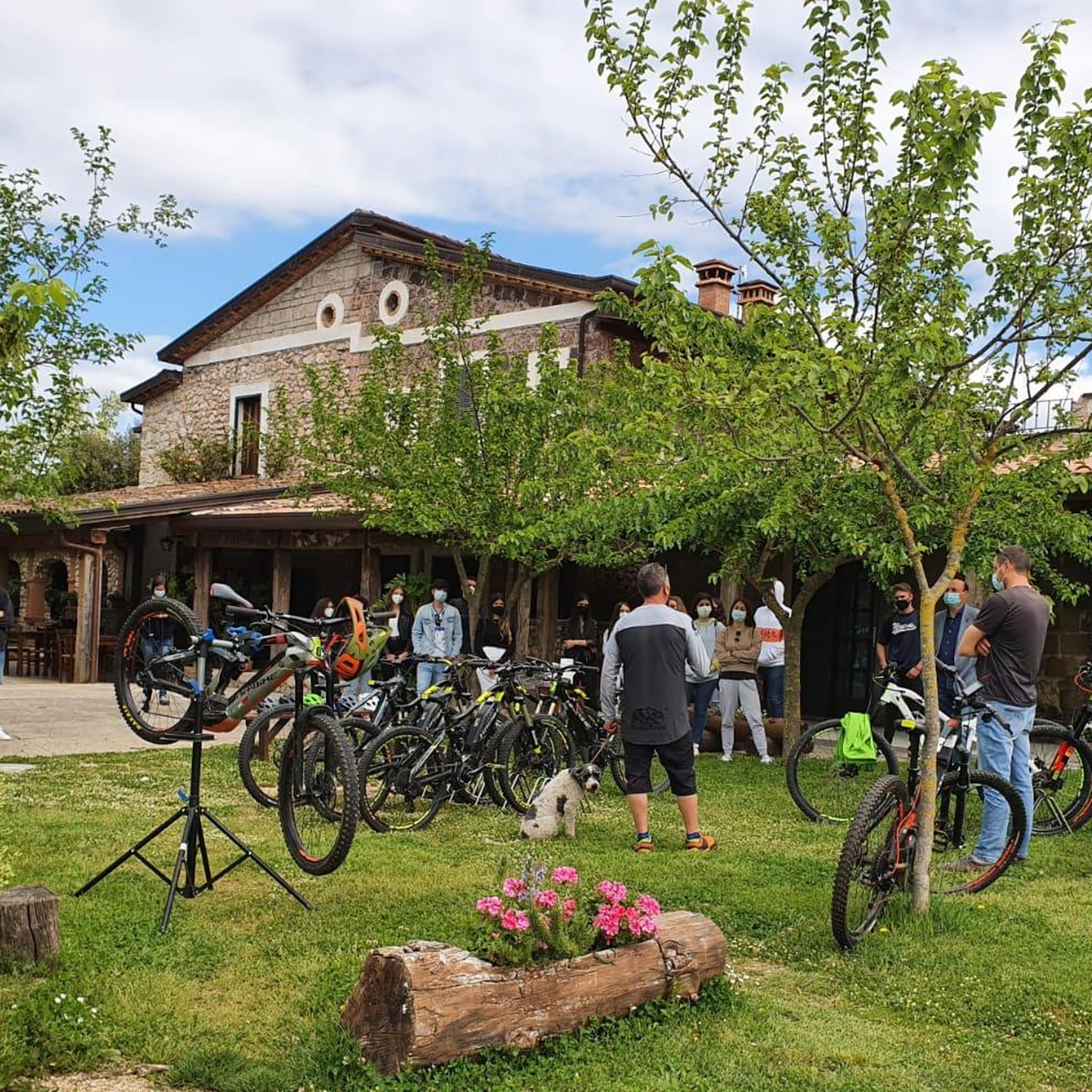
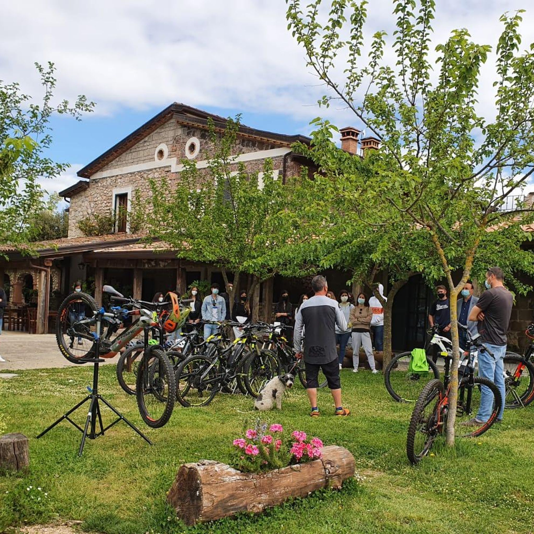
The Falode agritourism is an activity which, in addition to the restaurant, offers bike rental and also offers horseback riding. They also offer sleeping accommodation and there is also a camping area.
1
0
The Pianellone is located at an altitude of 1390 meters. It is one of the largest karst basins in the Matese area.
1
0

Among the best viewpoints to observe the lake in its entirety
2
0
Frequently Asked Questions
How many running routes are available around San Potito Sannitico?
There are over 20 running routes in the San Potito Sannitico area, catering to various fitness levels. These include 2 easy routes, 14 moderate routes, and 7 difficult routes, offering a diverse range of options for runners.
Are there any easy running trails suitable for beginners in San Potito Sannitico?
Yes, San Potito Sannitico offers a couple of easy running trails perfect for beginners or those looking for a relaxed pace. These routes typically feature gentle gradients through the local countryside.
What kind of terrain can I expect on the jogging routes in this region?
The jogging routes around San Potito Sannitico feature a mix of gentle rolling terrain and agricultural landscapes. You'll find both paved and unpaved surfaces, often connecting local villages and providing views of the surrounding hills.
Are there any long-distance running options for advanced runners?
For advanced runners seeking a longer challenge, consider routes like the Torre San Picozzo loop from Piedimonte Matese. This moderate trail covers approximately 10.4 km (6.4 miles) and offers varied terrain for a steady, longer run.
Are there any circular running routes in San Potito Sannitico?
Yes, many of the running routes in the area are circular, allowing you to start and finish in the same location. An example is the Running loop from San Potito Sannitico, which is about 7.8 km (4.9 miles) long.
What are some scenic points or attractions I might see while running?
While running, you might encounter charming local villages and enjoy views of the surrounding hills. For specific landmarks, consider exploring areas near Piedimonte Matese or the historical Ducal Castle of Castelpagano, which are notable points of interest in the wider region.
Are the running trails around San Potito Sannitico suitable for families?
Many of the routes, especially the easier and moderate ones, can be suitable for families. The gentle rolling terrain and agricultural paths provide a pleasant environment for a family run or walk. Always check the specific route details for distance and elevation to ensure it matches your family's capabilities.
What are the typical starting points or trailheads for running in the area?
Common starting points for running routes include the towns of San Potito Sannitico and Piedimonte Matese. Many loops, such as the Running loop from Piedimonte Matese, begin and end directly in these villages, making access convenient.
What is the best season for jogging in San Potito Sannitico?
The region's climate generally makes spring and autumn ideal for jogging, with milder temperatures. Summer mornings and evenings can also be pleasant, while winter might offer cooler, crisp conditions, though some paths could be affected by weather.
Are there any less crowded running routes in San Potito Sannitico?
While specific crowd levels vary, the agricultural landscapes and village paths often provide a sense of tranquility. Exploring routes that start slightly outside the main village centers or during off-peak hours can help you find a more solitary running experience.
What do other runners enjoy most about jogging in San Potito Sannitico?
The komoot community frequently praises the varied terrain, which includes both paved and unpaved surfaces, and the scenic views of the surrounding hills and agricultural areas. Runners appreciate the mix of options, from easy jogs to more challenging trails.
Can I find routes that offer views of natural monuments or mountain passes?
Yes, the broader region around San Potito Sannitico features natural attractions. While not directly on every jogging route, you can find highlights like the Campitello Matese Plateau or the La Casella Pass within a short distance, offering impressive natural scenery.
Most popular routes around San Potito Sannitico
Most popular attractions around San Potito Sannitico

Get inspired with the komoot mobile app


Explore more
Browse the best Running Trails & Routes in other regions.
