The best walks and hikes around San Potito Sannitico
4.3
(148)
690
hikers
86
hikes
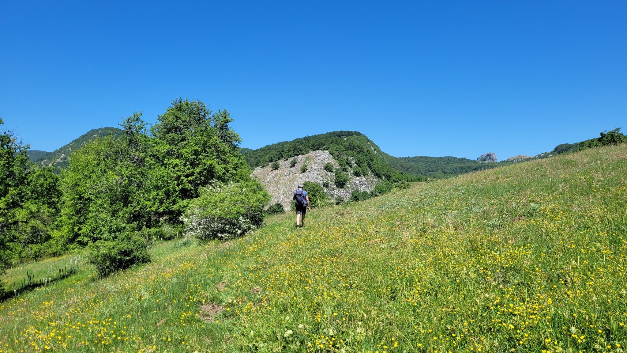
Hiking around San Potito Sannitico offers access to the Matese Massif, with routes situated at the foot of Mount Maggiore and extending from the Alifana plain towards Mount Serra dell'Airola. The region is characterized by diverse natural features, including the unique Lavello Gorges, which feature large potholes carved by the Titerno stream. Extensive beech woods are present, particularly around the Hermitage of Sant'Egidio, and the Torano stream flows nearby.
Best hiking trails around San Potito Sannitico
- The most popular hiking…
Last updated: June 24, 2026
4.0
(8)
44
hikers
4.80km
01:41
260m
260m
Imagine hiking through varied terrain, from shaded paths in ancient beech forests to open sections offering expansive views. This easy 3.0-mile (4.8 km) loop takes about 1 hour and 40…
4.0
(1)
3
hikers
12.4km
04:02
550m
550m
Embark on a moderate hike through the Bocca della Selva loop tour in Matese Regional Park, covering 7.7 miles (12.4 km) with an elevation gain of 1818 feet (554 metres).…

Sign up for free
9.89km
03:13
390m
390m
Moderate hike. Good fitness required. Mostly accessible paths. Sure-footedness required.
4.5
(6)
24
hikers
29.4km
08:33
700m
690m
Hard hike. Very good fitness required. Easily-accessible paths. Suitable for all skill levels.
4.5
(4)
19
hikers
Moderate hike. Good fitness required. Easily-accessible paths. Suitable for all skill levels.
Get access to more routes and recommendations from other explorers.
Sign up for free
Already have an account?
Our route recommendations are based on thousands of hikes, rides, and runs completed by other people on komoot.
Start today with a free account
Your next adventure awaits.
Login or Signup

Other adventures around San Potito Sannitico

Tips from the Community

Monte Mutria is the highest peak of the Guardiaregia-Campochiaro Regional Reserve, with its 1823 meters of altitude. Near the top is the chapel of Sant'Antonio, built in the 1990s and a destination for summer pilgrimages. The panorama extends over the great mountains of the Apennines, and on the clearest days you can even see the sea.
2
0

Piedimonte Matese is the starting point for many excursions. The Campania section of the Sentiero Italia also passes through here. This city offers all the primary services needed on a long-distance journey.
1
0

Here we are in an area with forest near the "5 of Coins" (they are along the path continuing south). This is five beech hedge.
1
0
From here it is possible to enjoy a beautiful panoramic view of the Pesco Lombardo and Pastonico mountains, among the closest ones, and the whole valley below.
1
0
The Church of San Sebastiano was built in 1600. It was consecrated by Bishop Porfirio in 1709.
1
0
The ancient bell tower, which is located at 544 meters, is part of a convent-hermitage built in 1447.
1
0
Here it is possible to see the Arcichiaro dam, designed in 1975 but never put into operation.
1
0
The Rifugio Bocca della Selva is a mountain refuge, and also a restaurant, bar, hotel, tobacco shop and a location for events. The day of the weekly closure is currently Monday.
1
0
Frequently Asked Questions
How many hiking trails are available around San Potito Sannitico?
There are over 75 hiking trails in the San Potito Sannitico area, offering a wide range of options for all skill levels. This includes 14 easy routes, 32 moderate routes, and 30 difficult routes, ensuring there's a path for every hiker.
What natural features can I expect to see while hiking in San Potito Sannitico?
The region is rich in natural beauty, including the stunning Matese Massif with its panoramic views. You can explore the unique Lavello Gorges along the Titerno stream, known for their giant potholes, and wander through extensive beech woods, particularly around the Hermitage of Sant'Egidio. The Torano stream also adds to the area's natural charm.
Are there any easy hiking trails suitable for beginners or families?
Yes, San Potito Sannitico offers 14 easy routes perfect for beginners or families. An excellent option is the Monte Mutria Summit Loop, a 3.0-mile (4.8 km) trail that provides access to the summit area of Monte Mutria with an easy difficulty grade.
What are some challenging hikes for experienced trekkers?
For experienced trekkers, the Matese Massif offers several challenging ascents. You can aim for La Gallinola Summit, which at 1923 meters is the highest point in Campania, offering expansive panoramic views. There are 30 difficult routes in the area to test your endurance.
Are there any circular hiking routes in the area?
Yes, there are several circular routes available. A popular choice is the Bocca della Selva – loop tour – Matese Regional Park, a moderate 7.7-mile (12.4 km) path that explores varied terrain and natural scenery within the Matese Regional Park.
What historical or cultural sites can be visited while hiking?
Hikers can combine nature with history by visiting the ancient Hermitage of Sant'Egidio, located at 1025m above sea level amidst beech woods. This site also features a mountain refuge with picnic tables. Additionally, a section of the historic Via Francigena Sud passes near San Potito Sannitico, offering beautiful countryside views.
What do other hikers say about the trails in San Potito Sannitico?
The trails around San Potito Sannitico are highly rated by the komoot community, with an average score of 4.4 stars from over 130 reviews. Hikers often praise the diverse landscapes, from mountainous terrain to ancient village paths, and the pristine nature of the Matese Regional Park.
Can I bring my dog on the hiking trails?
While specific regulations for dogs on every trail can vary, the Matese Regional Park generally welcomes dogs, often requiring them to be on a leash. It's always recommended to check local signage or park guidelines for the specific trail you plan to hike to ensure a pleasant experience for everyone.
Are there good viewpoints or panoramic spots along the hikes?
Absolutely. The Matese Massif itself provides breathtaking panoramic views. For an expansive vista, consider a hike towards La Gallinola Summit or Mount Mutria. The trails often wind through areas that offer stunning outlooks over the Alifana plain and the surrounding valleys.
Is there parking available for hikers in San Potito Sannitico?
Parking availability can vary depending on the specific trailhead. San Potito Sannitico, being a base for exploring the Matese Massif, typically has designated parking areas within or near the town, and at popular starting points for trails. It's advisable to check the route details on komoot for specific parking information related to your chosen hike.
What is the best time of year to go hiking in San Potito Sannitico?
The best time for hiking in San Potito Sannitico is generally during spring (April to June) and autumn (September to October) when the weather is mild and the natural scenery is vibrant. Summer can also be pleasant, especially at higher altitudes, but be prepared for warmer temperatures. Winter offers opportunities for snowshoeing or more challenging hikes, particularly in the higher reaches of the Matese Massif.
Are there any long day hikes in the region?
Yes, for those looking for longer excursions, there are several options. The Mount Mutria – View of the Arcichiaro Dam loop is a moderate 7.3-mile (11.7 km) hike that takes approximately 4 hours to complete, offering a substantial day out in nature.
Most popular routes around San Potito Sannitico
Most popular attractions around San Potito Sannitico

Get inspired with the komoot mobile app


Explore more
Browse the best Hikes in other regions.
