The best road cycling routes around Sant'Angelo All'Esca
4.2
(33)
628
riders
91
rides
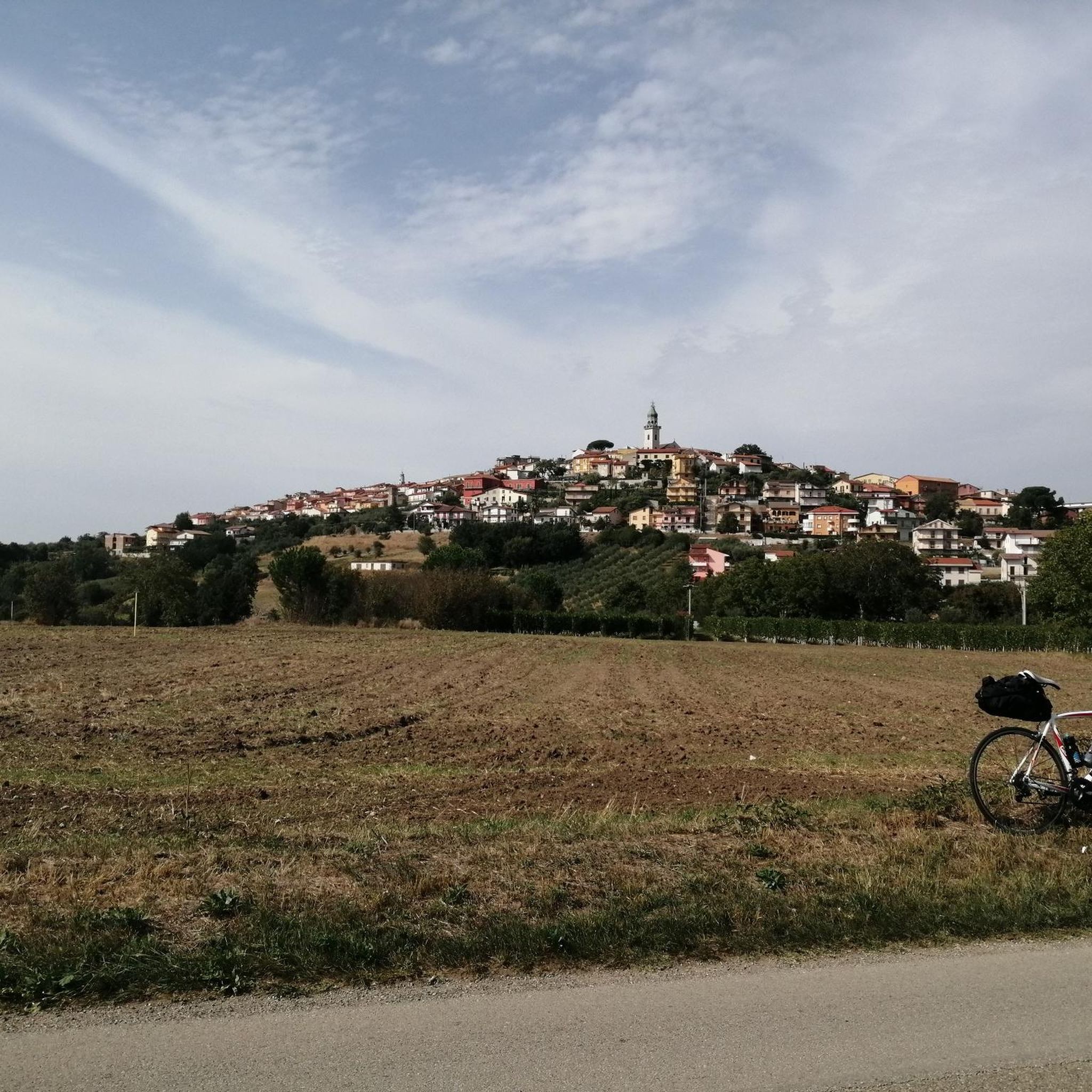
Road cycling routes around Sant'Angelo All'Esca traverse a landscape characterized by rolling hills and valleys, with significant elevation changes. The region features a mix of open roads and routes passing through areas with historical landmarks. Road cyclists can expect varied terrain, including climbs and descents, typical of inland Italian regions.
Best road cycling routes around Sant'Angelo All'Esca
- The most popular road cycling route is Strada Statale del Formicoso – Abbey of Goleto loop from Luogosano-San Mango sul Calore, a…
Last updated: July 8, 2026
5.0
(7)
28
riders
79.3km
03:50
1,070m
1,070m
Hard road ride. Very good fitness required. Mostly well-paved surfaces and easy to ride.
22
riders
Moderate road ride. Good fitness required. Mostly well-paved surfaces and easy to ride.

Sign up for free
16
riders
Hard road ride. Very good fitness required. Mostly well-paved surfaces and easy to ride.
3.0
(1)
14
riders
Hard road ride. Very good fitness required. Some segments of this route may be unpaved and difficult to ride.
10
riders
Hard road ride. Very good fitness required. Mostly well-paved surfaces and easy to ride.
Get access to more routes and recommendations from other explorers.
Sign up for free
Already have an account?
Our route recommendations are based on thousands of hikes, rides, and runs completed by other people on komoot.
Start today with a free account
Your next adventure awaits.
Login or Signup


Tips from the Community

Landmark Roman gateway with carved stone reliefs, built around 114 A.D. in honor of Emperor Trajan.
0
0

From this point, you can enjoy a good view of the Miscano Valley. There are also benches where you can rest.
3
0

Excellent view from Buonalbergo on the territory of the province of Avellino. Useful for resting a few minutes along the SS90 delle Puglie in any direction you go
0
0

Some views of the main square of the new town of Conza della Campania, the monument of two figures tearing apart the earth is evocative of the 1980 earthquake.
0
0

The heart of Ariano Irpino is the Norman castle which is located in the highest part of the town and is surrounded by lots of greenery.
0
0
Trajan's arch is the symbol of Benevento and represents a well-preserved testimony of Roman civilisation.
0
0

Splendid find from the Roman era in Benevento.
0
0

Frequently Asked Questions
How many road cycling routes are available around Sant'Angelo All'Esca?
There are over 90 road cycling routes in the Sant'Angelo All'Esca area, offering a wide range of options for different skill levels and preferences.
What kind of terrain can I expect when road cycling in Sant'Angelo All'Esca?
The region around Sant'Angelo All'Esca is characterized by rolling hills and valleys, featuring significant elevation changes. Cyclists can expect varied terrain, including both challenging climbs and rewarding descents, typical of inland Italian landscapes. Routes often combine open roads with sections passing through areas rich in historical landmarks.
Are there road cycling routes suitable for beginners or families in Sant'Angelo All'Esca?
While the region is known for its rolling hills and significant elevation, there are 28 moderate routes available. These routes offer a less strenuous experience compared to the more difficult options, making them suitable for cyclists looking for a moderate challenge. For example, the Fontanarosa Fountain – Drinking Water Fountain loop from Luogosano-San Mango sul Calore is a moderate path with a manageable climb.
What are some challenging road cycling routes for advanced riders?
Advanced riders will find plenty of challenging options, with 64 difficult routes in the area. These routes feature substantial elevation gains and longer distances. Consider the Strada Statale del Formicoso – Abbey of Goleto loop from Luogosano-San Mango sul Calore, which covers 92.3 km with over 1600 meters of elevation gain, or the even longer Lago Laceno – Abbey of Goleto loop from Luogosano-San Mango sul Calore, spanning 121.5 km with over 2400 meters of ascent.
Are there any circular road cycling routes in the area?
Yes, many of the routes around Sant'Angelo All'Esca are designed as loops, allowing you to start and finish at the same point. Examples include the challenging Carro di Fontanarosa – Ariano Irpino Castle loop from Luogosano-San Mango sul Calore and the moderate Fontanarosa Fountain – Drinking Water Fountain loop from Luogosano-San Mango sul Calore.
What interesting landmarks or attractions can I see along the road cycling routes?
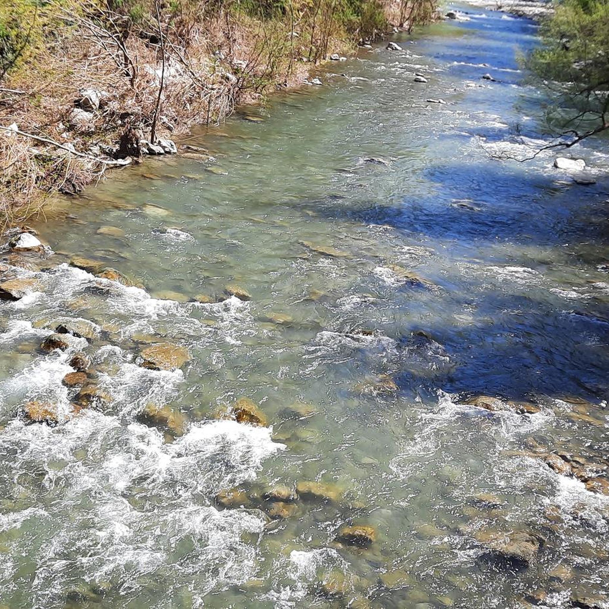
The routes often pass by historical sites and natural beauty. You might encounter the ancient Ponte Principe, the serene Calore River Between Lapio and Taurasi, or the charming Historic Center of Fontanarosa. Some routes also lead past the Historic Village of Castelvetere sul Calore or the picturesque Laghetto di Calore.
What do other road cyclists say about the routes in Sant'Angelo All'Esca?
The road cycling routes in Sant'Angelo All'Esca are highly rated by the komoot community, with an average score of 4.5 stars from over 30 reviews. Nearly 900 road cyclists have explored the varied terrain, often praising the scenic valleys and the challenging yet rewarding climbs.
Are there routes that offer refreshment points or cafes along the way?
Many routes pass through or near villages where you can find cafes and shops. Specifically, the Fontanarosa Fountain – Drinking Water Fountain loop from Luogosano-San Mango sul Calore is noted for passing by local fountains, offering convenient spots for refreshment.
What is the best time of year for road cycling in Sant'Angelo All'Esca?
The spring and autumn months generally offer the most pleasant conditions for road cycling in this inland Italian region. Temperatures are milder, and the landscapes are vibrant. Summers can be hot, especially in July and August, while winters can be cooler with a higher chance of rain or even snow at higher elevations.
Are there any less crowded road cycling routes in Sant'Angelo All'Esca?
While popular routes like the Strada Statale del Formicoso – Abbey of Goleto loop attract many cyclists, the extensive network of over 90 routes means you can often find quieter roads, especially on weekdays or by exploring some of the less-trafficked local roads that connect the smaller villages. The region's character of rolling hills and open roads naturally disperses cyclists.
What should I bring for a road cycling trip in Sant'Angelo All'Esca?
Given the varied terrain and significant elevation changes, it's advisable to bring appropriate gear. This includes a well-maintained road bike, helmet, water bottles (with sufficient capacity for climbs), energy snacks, sun protection, and layers of clothing suitable for changing weather conditions. A basic repair kit and a fully charged phone with navigation are also recommended.
Most popular attractions around Sant'Angelo All'Esca

Get inspired with the komoot mobile app


Explore more
Browse the best Road cycling routes in other regions.
