The best walks and hikes around Sant'Angelo All'Esca
4.8
(13)
19
hikers
2
hikes
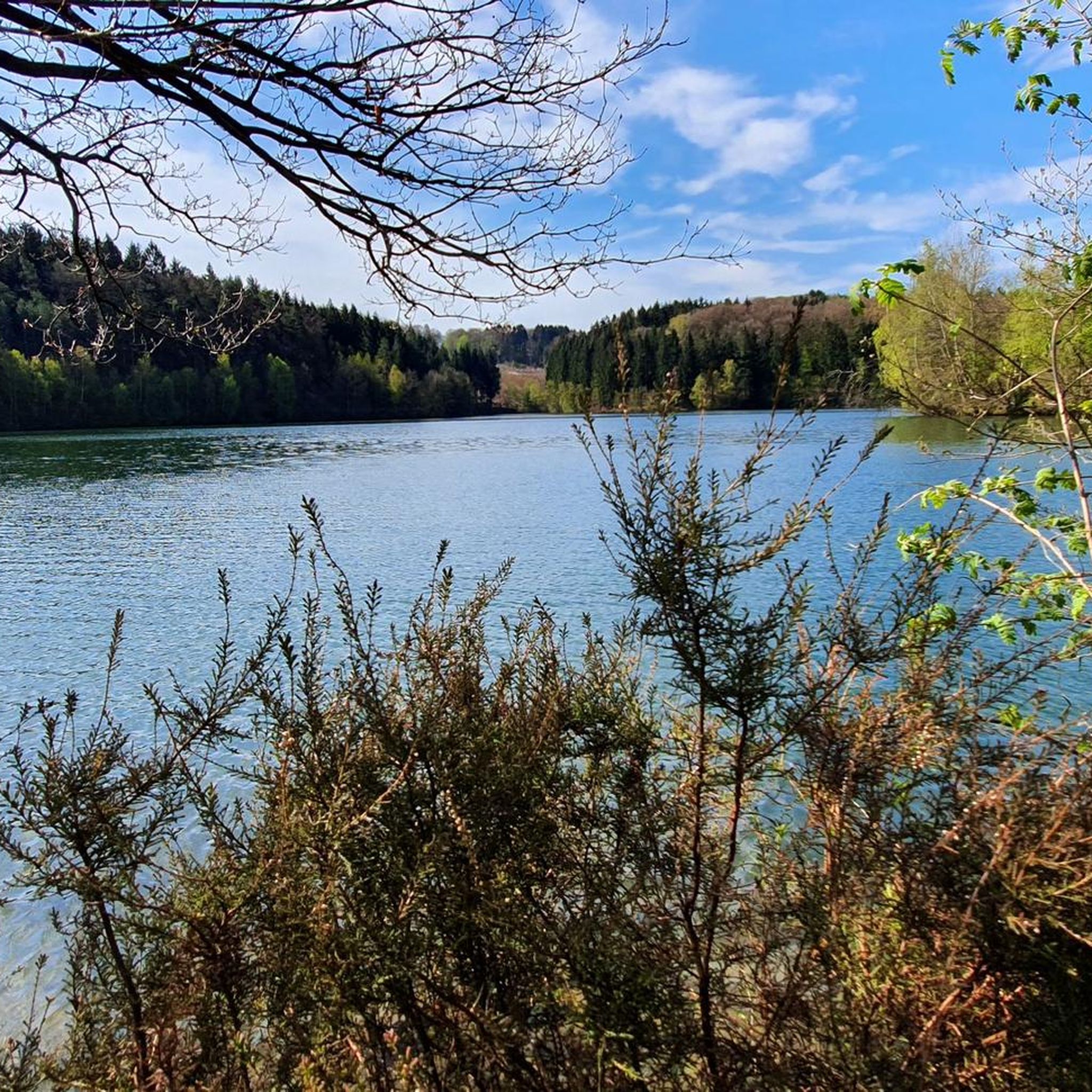
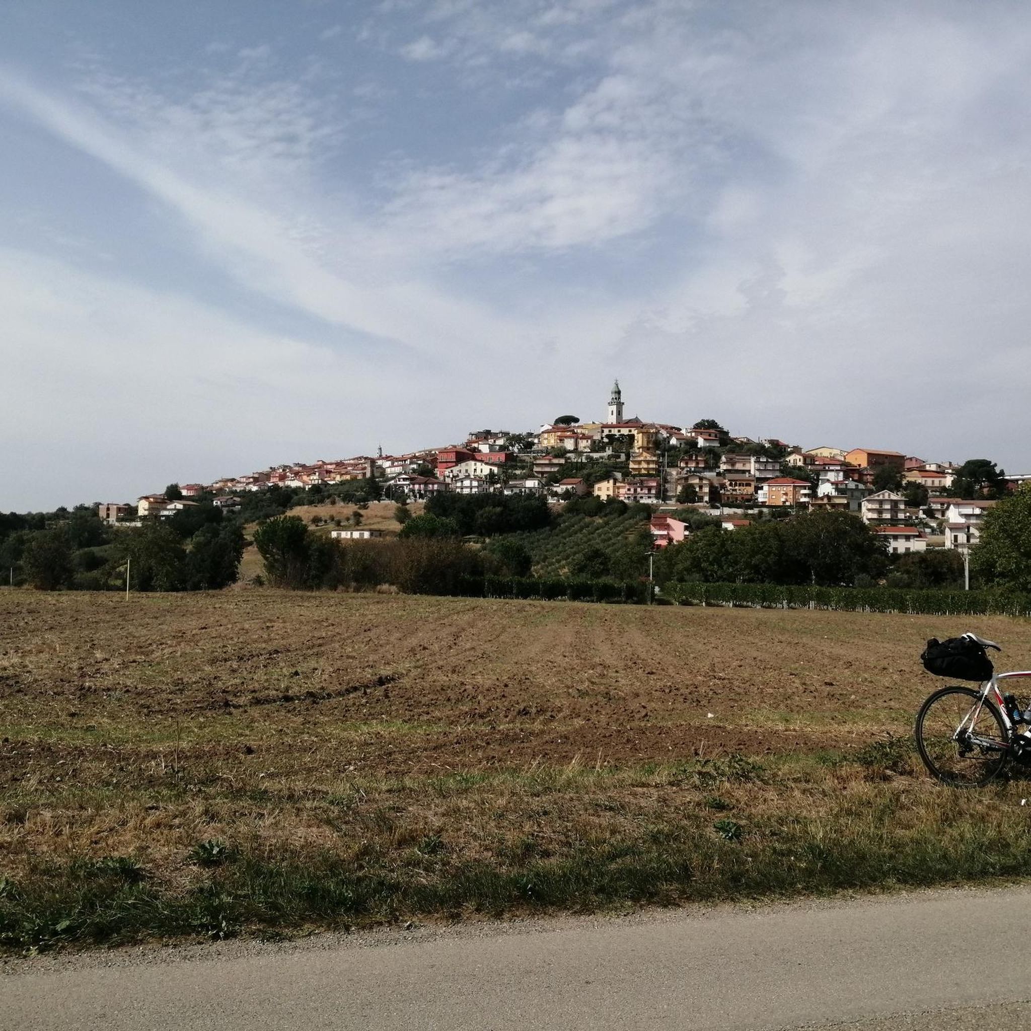
Hiking around Sant'Angelo All'Esca offers exploration of a region characterized by its hilly terrain and the scenic Calore Valley. Situated at 460 meters above sea level, the area features rolling hills and extensive vineyards, contributing to a varied landscape. This environment provides a natural backdrop for outdoor activities, with opportunities to traverse agricultural areas and woodlands.
Best hiking trails around Sant'Angelo All'Esca
- The most popular hiking route is Monte Tuoro loop from Castelvetere sul Calore, a 8.4 miles (13.4…
Last updated: May 16, 2026
4.5
(2)
7
hikers
13.3km
04:21
630m
630m
Moderate hike. Good fitness required. Easily-accessible paths. Suitable for all skill levels.
5.0
(11)
8
hikers
7.18km
02:02
160m
160m
Moderate hike. Good fitness required. Easily-accessible paths. Suitable for all skill levels.

Sign up for free
4
hikers
9.57km
02:48
260m
260m
Moderate hike. Good fitness required. Easily-accessible paths. Suitable for all skill levels.
Our route recommendations are based on thousands of hikes, rides, and runs completed by other people on komoot.
Start today with a free account
Your next adventure awaits.
Login or Signup
Popular around Sant'Angelo All'Esca
Tips from the Community

Frequently Asked Questions
What kind of terrain can I expect on hikes around Sant'Angelo all'Esca?
The hiking trails around Sant'Angelo all'Esca are characterized by a varied landscape. You'll find yourself traversing
hilly terrain and extensive vineyards, particularly in the scenic Calore Valley. The area is known for its rolling hills and agricultural areas, offering a peaceful and authentic atmosphere for your outdoor adventures.
Are there any circular hiking routes available in the area?
Yes, Sant'Angelo all'Esca offers several circular hiking routes. For instance, you can explore the Monte Tuoro loop from Castelvetere sul Calore, which provides views over the Calore Valley. Another option is the La taverna rossa loop from Sturno, winding through hilly terrain and vineyards.
What are the typical difficulty levels for hiking trails near Sant'Angelo all'Esca?
The hiking routes around Sant'Angelo all'Esca primarily feature moderate difficulty levels. These trails are suitable for hikers with a reasonable level of fitness, offering engaging experiences without being overly strenuous. An example is the Monte Tuoro loop from Sant'Agata.
What natural features or viewpoints can I discover while hiking?
While hiking, you'll encounter the picturesque Calore Valley, offering expansive views. The region is also known for its hilly and vine-covered terrain. The Belvedere provides a suggestive panoramic vista over the Calore Valley, and the impressive 19th-century Ponte Principe spans the Calore River, showcasing the beauty of the river valley.
Are there any historical or cultural landmarks to see along the trails?
Yes, hiking trails in Sant'Angelo all'Esca can incorporate cultural routes that wind through the village's historic center, allowing you to admire ancient architecture. Additionally, nearby attractions include the Historic Center of Fontanarosa and the Historic Village of Castelvetere sul Calore, which can be explored in conjunction with your hikes.
How long do hikes typically take in this region?
The duration of hikes varies depending on the route. For example, the Monte Tuoro loop from Castelvetere sul Calore is approximately 8.4 miles (13.4 km) and takes about 4 hours 23 minutes. Shorter options like the Masseria Di Chiara – La taverna rossa loop from Frigento, at 6.0 miles (9.6 km), can be completed in about 2 hours 47 minutes.
What do other hikers enjoy most about the trails around Sant'Angelo all'Esca?
The area is highly rated by the komoot community, with an average score of 4.75 stars from more than 10 reviews. Hikers often praise the varied terrain, which includes rolling hills and vineyards, and the peaceful atmosphere of the Calore Valley.
Are there any trails suitable for families with children?
While specific 'family-friendly' designations are not provided, the moderate difficulty of the trails suggests that many could be suitable for families with active children. Routes like the La taverna rossa loop from Sturno, which is 4.5 miles (7.2 km), offer a manageable distance through scenic vineyards and hilly terrain.
Can I bring my dog on the hiking trails?
The natural environment around Sant'Angelo all'Esca, with its extensive vineyards and woodlands, generally welcomes dogs on trails. However, it's always recommended to keep your dog on a leash and ensure you follow local regulations regarding pets in natural areas.
Are there any bodies of water or rivers to see during a hike?
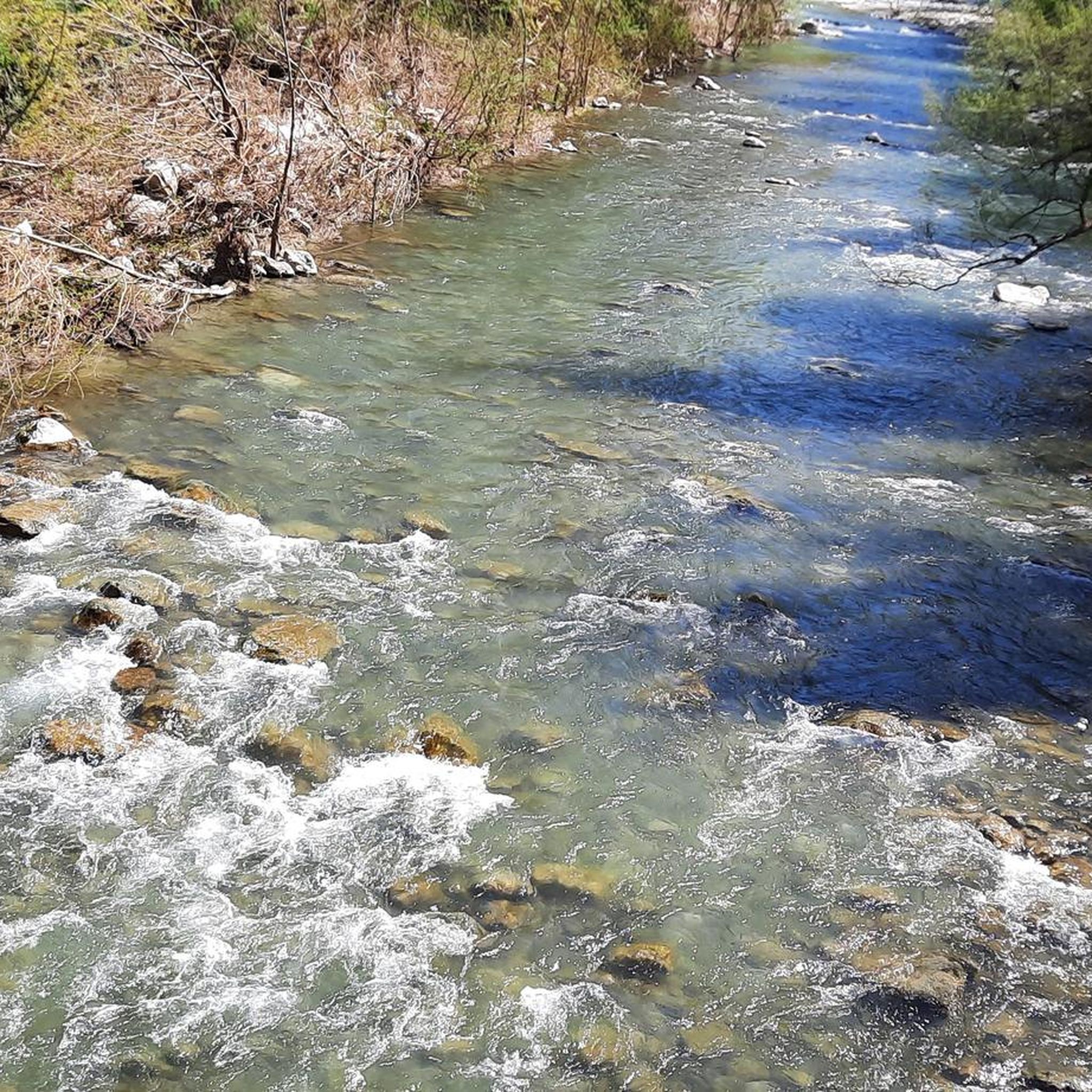
Yes, the region is defined by its location in the Calore Valley, and you can encounter the Calore River itself. The impressive Ponte Principe crosses this river, and you might also find the Laghetto di Calore nearby, offering serene spots along your journey.
What is the best season for hiking in Sant'Angelo all'Esca?
The region's varied terrain, including vineyards and woodlands, makes it suitable for outdoor activities across multiple seasons. Spring and autumn generally offer pleasant temperatures and vibrant landscapes, ideal for exploring the rolling hills and the Calore Valley. Summers can be warm, while winters are typically mild.
Are there options for longer treks or runs in the area?
Yes, the area is well-suited for longer treks. The annual 'Correre tra le Terre di Bacco' (Run across the Lands of Bacchus) is an 11 km race that crosses Sant'Angelo all'Esca and neighboring municipalities, highlighting the region's suitability for extended runs and hikes through its wine country.
Most popular attractions around Sant'Angelo All'Esca

Get inspired with the komoot mobile app


Explore more
Browse the best Hikes in other regions.
