The best walks and hikes around Corleto Monforte
4.5
(170)
551
hikers
53
hikes
Hiking around Corleto Monforte offers diverse landscapes within the Cilento, Vallo di Diano e Alburni National Park, situated at the foot of the Alburni Mountains. The region is characterized by rugged karst terrain, dense forests of beech and chestnut, and significant geological features like gorges and streams. Hikers can explore trails leading through woodlands, past unique karst formations, and to summits offering panoramic views.
Best hiking trails around Corleto Monforte
- The most popular hiking route is Il Figliolo Loop Trail, a 5.7 miles (9.2 km) trail that takes 2 hours 45 minutes to complete, leading to a summit with 360-degree views.
- Another top favourite among local hikers is Antece and Casone Aresta Loop via The Silent Way, a moderate 5.2 miles (8.4 km) path. This route traverses dense forests and offers views of the region's natural features.
- Local hikers also love the Sacrificial basin of the Antece – Antece – Costa Palomba loop from Antece, a 1.4 miles (2.3 km) trail leading through karst formations, often completed in about 40 minutes.
- Hiking around Corleto Monforte is defined by the rugged Alburni Mountains, dense woodlands, and unique karst phenomena. The network offers options for various ability levels, from easy walks to more challenging ascents.
- The routes in Corleto Monforte are highly rated by the komoot community with an average score of 4.6 stars from over 130 reviews. More than 440 hikers have used komoot to explore Corleto Monforte's varied terrain.
Last updated: August 18, 2026
5.0
(1)
9
hikers
9.24km
02:45
290m
290m
Hike the moderate Il Figliolo loop trail in Cilento, Vallo di Diano and Alburni National Park for 360-degree summit views.
4.5
(2)
3
hikers
8.37km
02:28
240m
240m
Hike the moderate 5.2-mile Costa Palomba and Casone Aresta loop in Cilento National Park, featuring ancient rock art and scenic views.

Sign up for free
5.0
(3)
24
hikers
Easy hike. Great for any fitness level. Easily-accessible paths. Suitable for all skill levels.
5.0
(1)
3
hikers
5.56km
01:44
190m
190m
Easy hike. Great for any fitness level. Easily-accessible paths. Suitable for all skill levels.
4.0
(3)
8
hikers
Moderate hike. Good fitness required. Mostly accessible paths. Sure-footedness required.
Get access to more routes and recommendations from other explorers.
Sign up for free
Already have an account?
Our route recommendations are based on thousands of hikes, rides, and runs completed by other people on komoot.
Start today with a free account
Your next adventure awaits.
Login or Signup
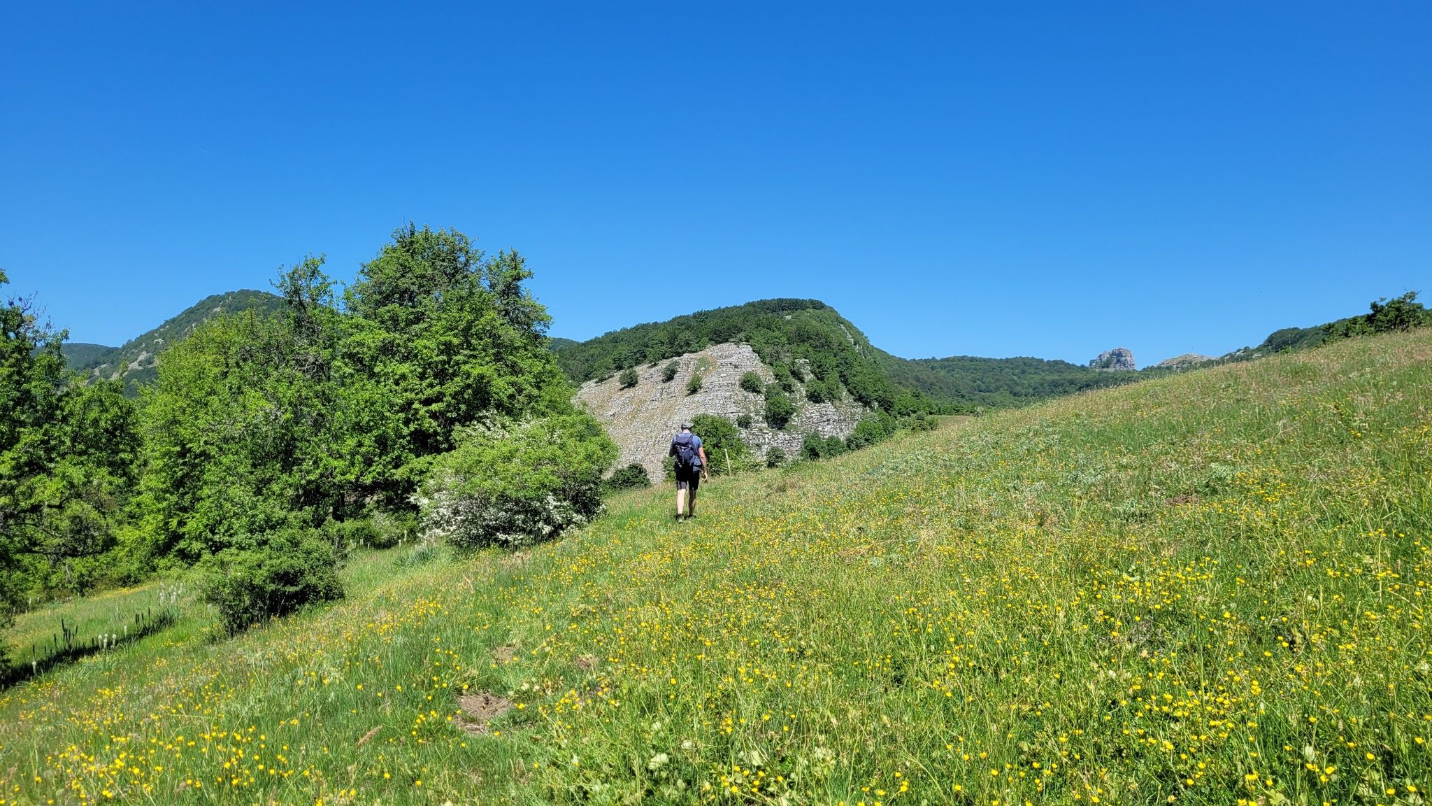
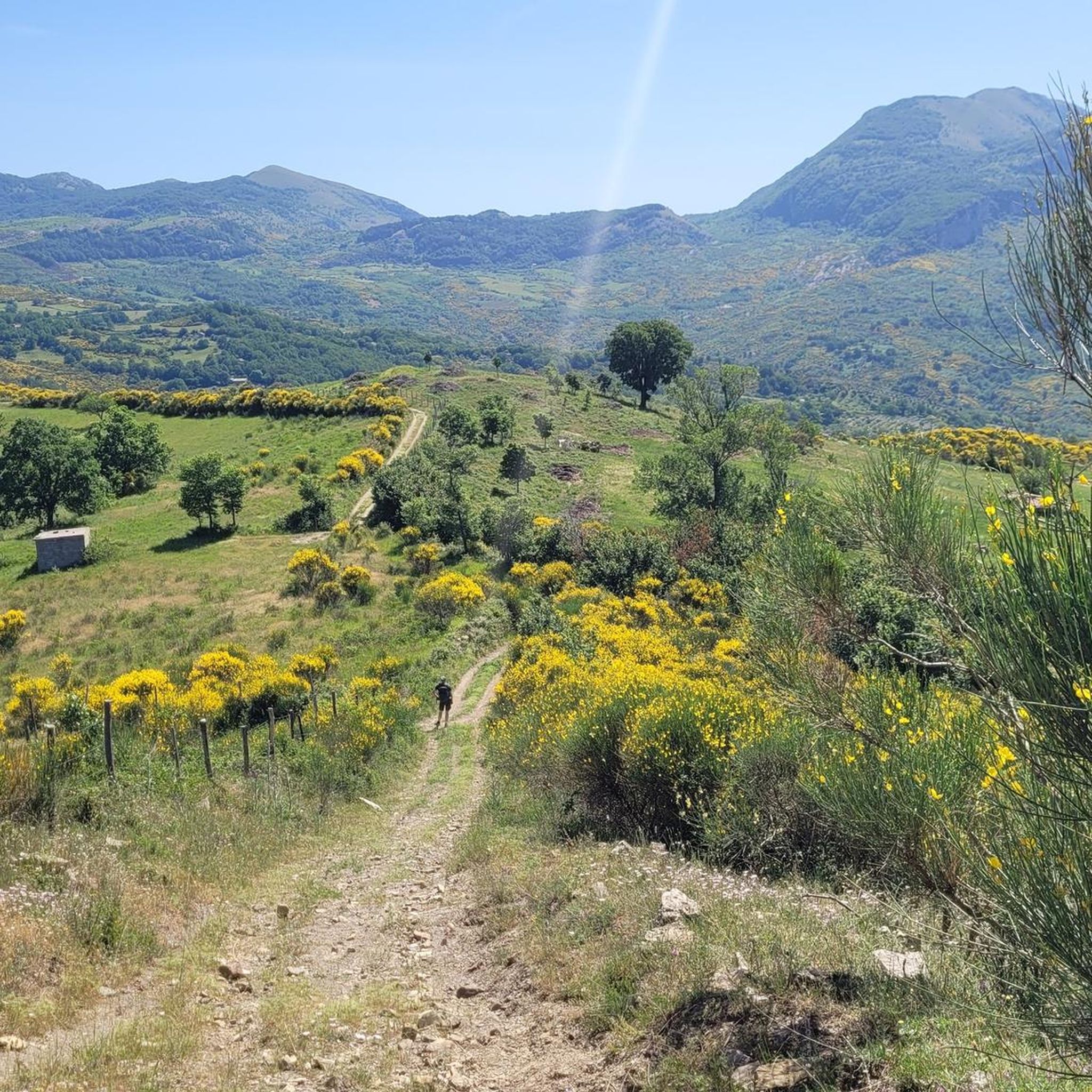
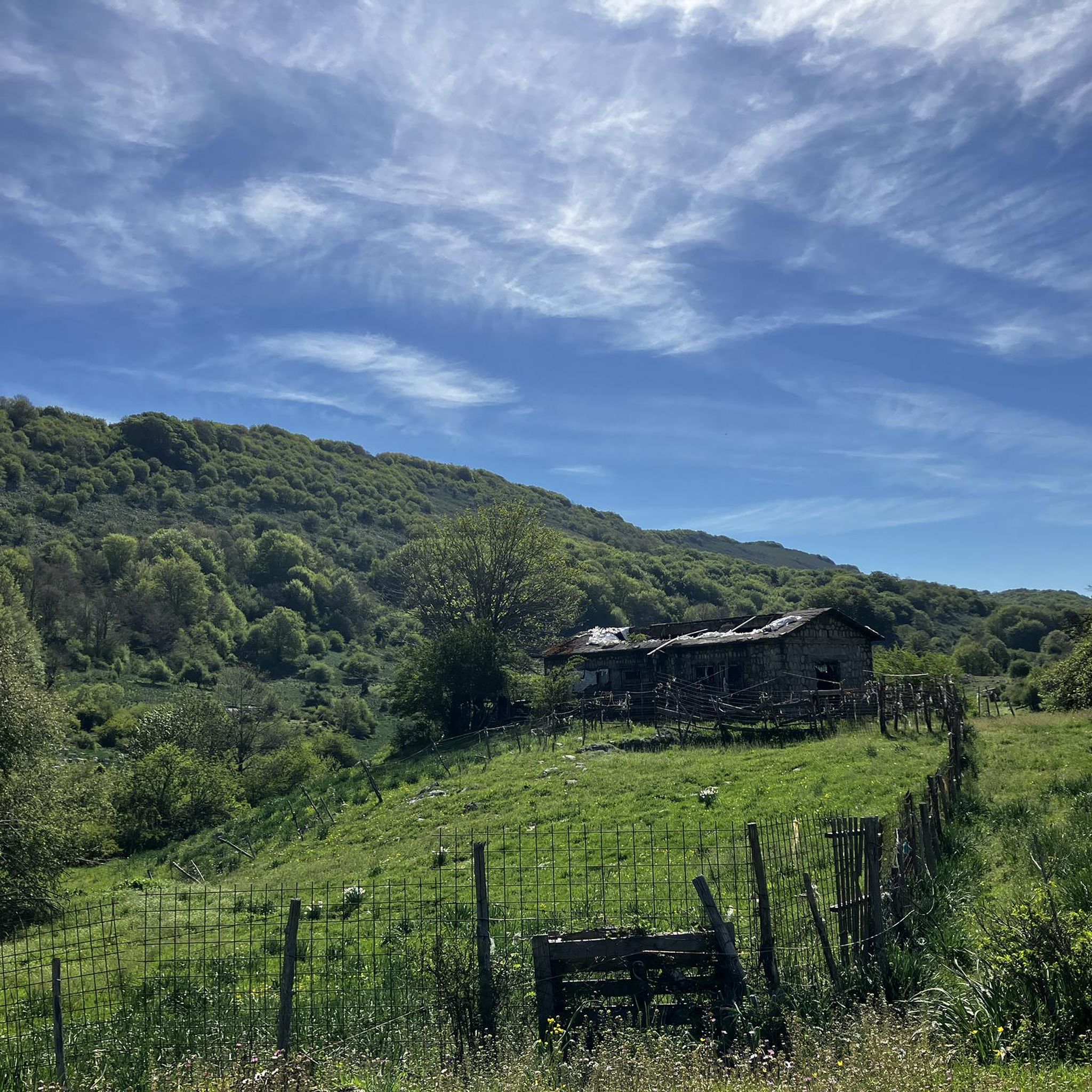
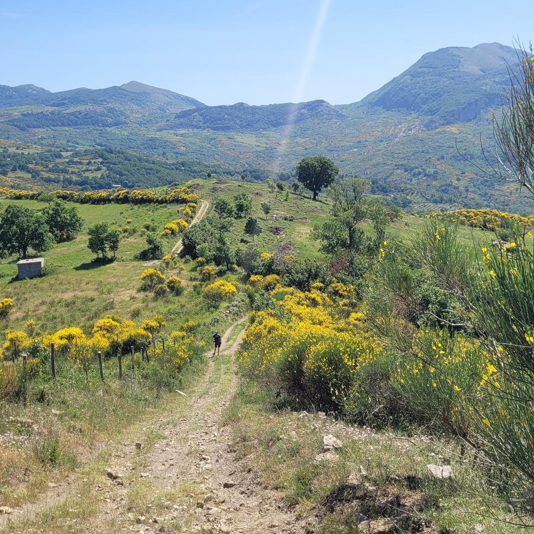
Other adventures around Corleto Monforte

Tips from the Community

I hope you get a chance to meet Ettore, the volunteer who runs the observatory and currently the only person in the world who knows how to use the telescope inside. Spending a night here on an observing day must be fantastic.
0
0

Near the large rocky spur of Figliolo it is necessary to climb to reach the summit, where the statue of the Madonna marks the highest point. From here you can enjoy a spectacular 360 degree view. WARNINGS for those who want to reach the summit of Figliolo (see photo!) For the more adventurous you can climb to the top of Figliolo, to do so go around the wall towards SE climbing on a gravelly trail up to a crack between the rocks. You will find a huge boulder stuck between the walls, you have to go beyond it and you have to climb in this crack between the rocks (you need a bit of agility and caution especially when going down). You climb up reaching the summit ridge, paying attention to a slightly exposed section and avoiding the side where more friable rock is visible (yellow color). From the Madonna on the summit you can read Monte Figliolo 1337 m. The view is phenomenal and worth the little "climb" but, it is NOT for everyone, you need good mountaineering experience and you must not suffer from vertigo.
2
0
Near the Sinkhole under Serra Carpinrto is the sinkhole Cavaggione. Beware of the opening in the ground !!!!
2
0
Sinkhole under Serra Carpineto: this cavity descends into the depths through a large meander with very high walls. On the bottom, which is 117m lower than the entrance and half a kilometer away from it, there is a perennial lake with a siphon. On the opposite shore of the lake there is a narrow, unexplored crack from which cold air blows [Atlas of the Caves of Campania, CP 488]. The visit should NOT be improvised. You must be properly equipped with torches, sturdy shoes, gloves as well as appropriate cave experience.
2
0

On the summit of Costa Palomba there are remains dating back to more than 2000 years ago. According to scholars, the large sculpture is a funerary monument to celebrate a warrior hero, but there is also a basin used as a sacrificial altar and the remains of fortification walls.
1
0
Cima Il Figliolo is a rocky outcrop in the municipality of Petina. At more than 1300 meters above sea level, it offers a splendid view of Monte Panormo, the highest peak of the Alburni Mountains, and of the Tanagro valley.
0
0
The Madonna della Montagna is the name by which the Sanctuary of the Madonna delle Grazie is known, located in the Alburni Mountains, in the municipality of Sant'Angelo a Fasanella, in the province of Salerno. It can be easily reached from Casone Aresta or from the Ausoneto refuge.
0
0
Karst sinkhole located in the territory of Petina, it is one of the many naturalistic attractions of the Alburni Mountains, in the National Park. The cave is more than 200 meters deep and it is necessary to have adequate speleological equipment. There is a picnic area outside.
1
0
Frequently Asked Questions
How many hiking trails are available around Corleto Monforte?
Corleto Monforte offers a wide selection of hiking opportunities, with over 45 trails to explore. These routes cater to various skill levels, from easy walks to more challenging mountain ascents.
What is the typical terrain like for hiking in Corleto Monforte?
The terrain around Corleto Monforte is characterized by the rugged Alburni Mountains, often called the 'Dolomites of Campania'. You'll encounter diverse landscapes including dense forests of beech, chestnut, and maple, unique karst formations, and dramatic gorges like the Sammaro Gorge. Trails can range from shaded woodland paths to rocky ascents.
Are there hiking trails suitable for beginners or those looking for an easy walk?
Yes, there are several easy hiking trails around Corleto Monforte. For instance, the Sacrificial basin of the Antece – Antece – Costa Palomba loop from Antece is a shorter, less strenuous option that takes you through interesting karst formations. In total, there are 8 easy routes available.
What is the best time of year to go hiking in Corleto Monforte?
The best times for hiking in Corleto Monforte are generally spring and autumn. During these seasons, temperatures are pleasant, making it ideal for exploring the forests and trails without the intense heat of summer or the potential snow of winter in higher elevations.
Are there any challenging mountain trails for experienced hikers?
Yes, the Alburni Mountains provide challenging options for experienced hikers. Peaks like Monte Panormo, the highest in the Alburni range at 1,742 meters, offer strenuous ascents. There are 12 difficult routes in the area for those seeking a greater challenge.
What kind of natural attractions can I expect to see while hiking?
While hiking around Corleto Monforte, you can expect to discover a rich variety of natural attractions. These include dense woodlands, unique karst phenomena, and dramatic gorges such as the Sammaro Gorge and Gole del Calore. The region is also home to diverse wildlife, including the wildcat, within its extensive forest cover.
Are there any hikes that offer panoramic views?
Absolutely. Many trails lead to summits with breathtaking panoramic views. For example, the Il Figliolo Loop Trail takes you to Il Figliolo Summit, a rocky spur offering 360-degree views of the landscape. Monte Pruno also provides magnificent vistas of the Alburni range and the highest Cilento mountains.
Can I visit any caves or historical sites on a hike?
Yes, the karst nature of the Alburni Mountains means there are several caves to explore, such as The Cave of San Michele and Grotta Fra Gentile. Historically, Monte Pruno was an ancient Lucanian settlement, and remains of rural settlements like 'Timpa degli Antichi' can be accessed by foot, offering a glimpse into the region's past.
Are there any circular hiking routes in the area?
Yes, Corleto Monforte offers several circular hiking routes. A popular choice is the Il Figliolo Loop Trail, which is a moderate 5.7-mile (9.2 km) path. Another option is the Antece and Casone Aresta Loop via The Silent Way, which traverses dense forests.
What do other hikers enjoy the most about hiking in Corleto Monforte?
The hiking routes in Corleto Monforte are highly rated by the komoot community, with an average score of 4.6 stars from over 130 reviews. Hikers often praise the diverse landscapes, the rugged beauty of the Alburni Mountains, and the peaceful experience of walking through the dense, ancient forests.
Are there any family-friendly hiking options?
While specific family-friendly routes are not detailed, the presence of 8 easy trails suggests there are options suitable for families. These easier paths would likely involve less elevation gain and shorter distances, allowing for a pleasant outing with children.
Is it possible to access hiking trails using public transport?
Information regarding specific public transport access to trailheads in Corleto Monforte is limited. It is generally advisable to check local bus schedules or consider driving to reach the starting points of many trails, especially those deeper within the national park.
Where can I find parking for hiking trails?
While specific parking locations for each trailhead are not detailed, Corleto Monforte is a small town, and parking is typically available in or near the village center. For routes starting further afield, you may find designated parking areas or roadside spots near popular trailheads. It's recommended to check the route details on komoot for specific parking suggestions.
Most popular attractions around Corleto Monforte

Get inspired with the komoot mobile app


Explore more
Browse the best Hikes in other regions.
