The best road cycling routes around Ottati
5.0
(4)
207
riders
28
rides
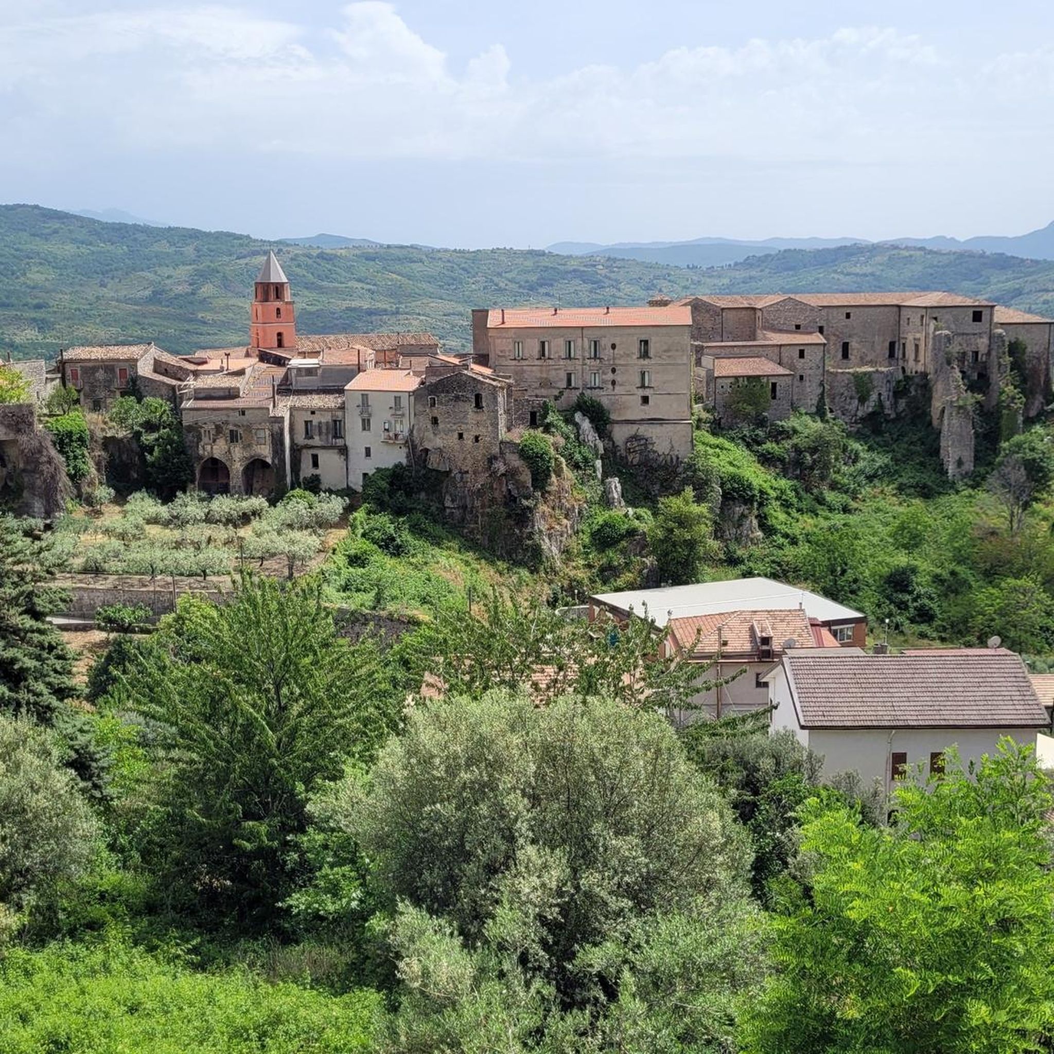
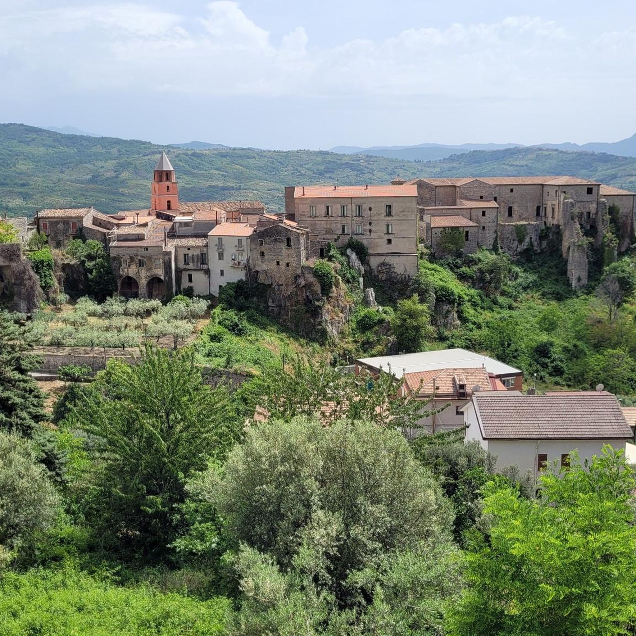
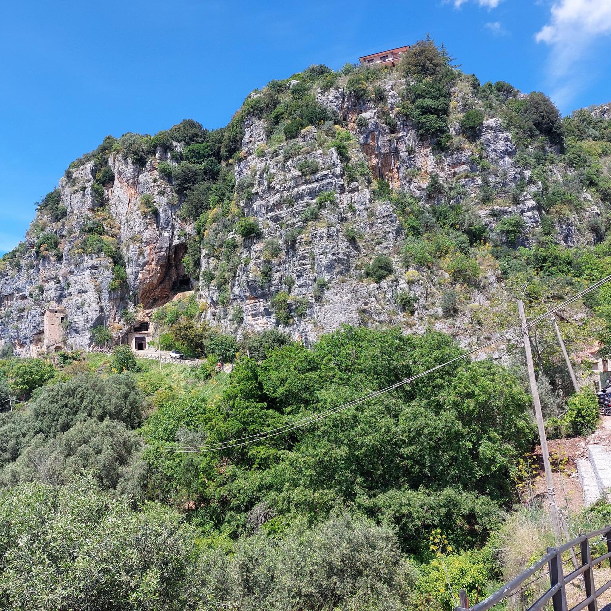
Road cycling routes around Ottati are situated within the Cilento, Vallo di Diano e Alburni National Park, characterized by mountainous terrain and deep valleys. The region's geology includes limestone formations and forested areas, providing diverse backdrops for rides. These routes often feature sustained climbs and descents, with significant elevation changes.
Best road cycling routes around Ottati
- The most popular road cycling route is Parco Nazionale del Cilento, Vallo di Diano e Alburni along the Via Silente – loop from Sant'Angelo…
Last updated: June 24, 2026
5.0
(1)
21
riders
Hard road ride. Very good fitness required. Mostly well-paved surfaces and easy to ride.
4.0
(1)
9
riders
106km
06:09
2,370m
2,370m
Hard road ride. Very good fitness required. Mostly well-paved surfaces and easy to ride.

Sign up for free
9
riders
83.2km
04:09
1,270m
1,270m
Hard road ride. Very good fitness required. Mostly well-paved surfaces and easy to ride.
9
riders
68.6km
03:59
1,510m
1,520m
Hard road ride. Very good fitness required. Mostly well-paved surfaces and easy to ride.
10
riders
77.7km
03:54
1,240m
1,240m
Hard road ride. Very good fitness required. Mostly well-paved surfaces and easy to ride.
Get access to more routes and recommendations from other explorers.
Sign up for free
Already have an account?
Our route recommendations are based on thousands of hikes, rides, and runs completed by other people on komoot.
Start today with a free account
Your next adventure awaits.
Login or Signup
Popular around Ottati
Tips from the Community

Directions on Via Campo Fiorito near the Serre municipality.
21
0

Beautiful scenery. 🤔👍
4
1
A beautiful little tree standing out against a clear, clear sky.
21
0
Self-portrait in Via Campofiorito with a beautiful little tree and a clear sky.
18
0
Bridge over the Calore River along the SP 88.
21
0
Another perspective of the Alburni Mountains.
19
0
Beautiful landscape with fabulous colors in the valley below the Alburni Mountains.
20
0
Directions along the SS 19 delle Calabrie.
16
0
Frequently Asked Questions
What is the general difficulty level of road cycling routes around Ottati?
Road cycling around Ottati is primarily characterized by challenging routes. Out of 25 available routes, 19 are classified as difficult, and 6 are moderate. Riders should expect significant elevation changes and sustained climbs, as the region is within the mountainous Cilento, Vallo di Diano e Alburni National Park.
Are there any easy or beginner-friendly road cycling routes in Ottati?
The road cycling routes around Ottati are generally challenging, with no routes specifically classified as easy. Most options are either moderate or difficult, featuring considerable elevation gain. Beginners might find the terrain demanding, so it's advisable to assess your fitness level carefully.
What kind of terrain can I expect on road cycling routes near Ottati?
You can expect mountainous terrain with deep valleys, limestone formations, and forested areas. Routes often feature sustained climbs and descents, providing diverse backdrops for your rides within the Cilento, Vallo di Diano e Alburni National Park. For example, the route Roscigno Vecchia – Roscigno Vecchia loop from Castelcivita navigates through varied landscapes with over 4,200 feet (1,300 meters) of climbing.
Are there circular road cycling routes available in Ottati?
Yes, many of the road cycling routes around Ottati are designed as loops. For instance, you can explore the Parco Nazionale del Cilento, Vallo di Diano e Alburni along the Via Silente – loop from Sant'Angelo a Fasanella, or the Monteforte Cilento – Roccadaspide loop from Controne, which leads through the Alburni Mountains.
What are some notable natural attractions or landmarks to see along the road cycling routes?
The region offers several natural attractions. You might encounter the impressive Calore Gorges, or the scenic The Remolino of Felitto. Other points of interest include the Medieval Bridge of Magliano Nuovo over the Calore River and various summits like Il Figliolo Summit.
What do other road cyclists say about their experience in Ottati?
The road cycling routes in Ottati are highly rated by the komoot community, with an average score of 4.8 stars from 7 reviews. Cyclists often praise the challenging mountain passes, forested valleys, and panoramic views offered by the region's diverse terrain.
Are there any routes that offer particularly scenic views or points of interest?
Many routes provide panoramic views due to the mountainous nature of the area. For example, the route View of Postiglione – Controne Historic Alleyways loop from Controne offers scenic vistas and passes through historic areas. The Alburni Mountains, featured in routes like Via Campo Fiorito – Alburni Mountains loop from Aquara, are also known for their beauty.
What is the best season for road biking in Ottati?
Given the mountainous terrain within the Cilento, Vallo di Diano e Alburni National Park, spring and autumn generally offer the most pleasant conditions for road cycling in Ottati. Temperatures are milder, and the natural scenery is vibrant. Summer can be hot, especially in the valleys, while winter may bring colder temperatures and potential for snow at higher elevations.
Is public transport available to access road cycling routes in Ottati?
Specific public transport options directly to the start points of all road cycling routes in Ottati are limited. It is advisable to check local bus schedules or consider driving to a suitable starting point, especially for routes that begin in smaller villages within the national park.
Where can I find parking for road biking trails in Ottati?
Parking availability varies by route starting point. Many villages within the Cilento, Vallo di Diano e Alburni National Park, such as Sant'Angelo a Fasanella, Castelcivita, or Controne, offer public parking areas. It's recommended to check the specific starting location of your chosen route for the most convenient parking options.
Are there any less crowded road cycling routes around Ottati?
While the region is popular, some routes might offer a more secluded experience, especially those venturing deeper into the Alburni Mountains or less frequented areas of the national park. Exploring routes that start from smaller, less central villages might lead to a quieter ride. The Via Campo Fiorito – Alburni Mountains loop from Aquara, for example, explores a more remote part of the Alburni range.
Most popular attractions around Ottati

Get inspired with the komoot mobile app


Explore more
Browse the best Road cycling routes in other regions.
