The best walks and hikes around Laurino
4.4
(479)
1,534
hikers
90
hikes
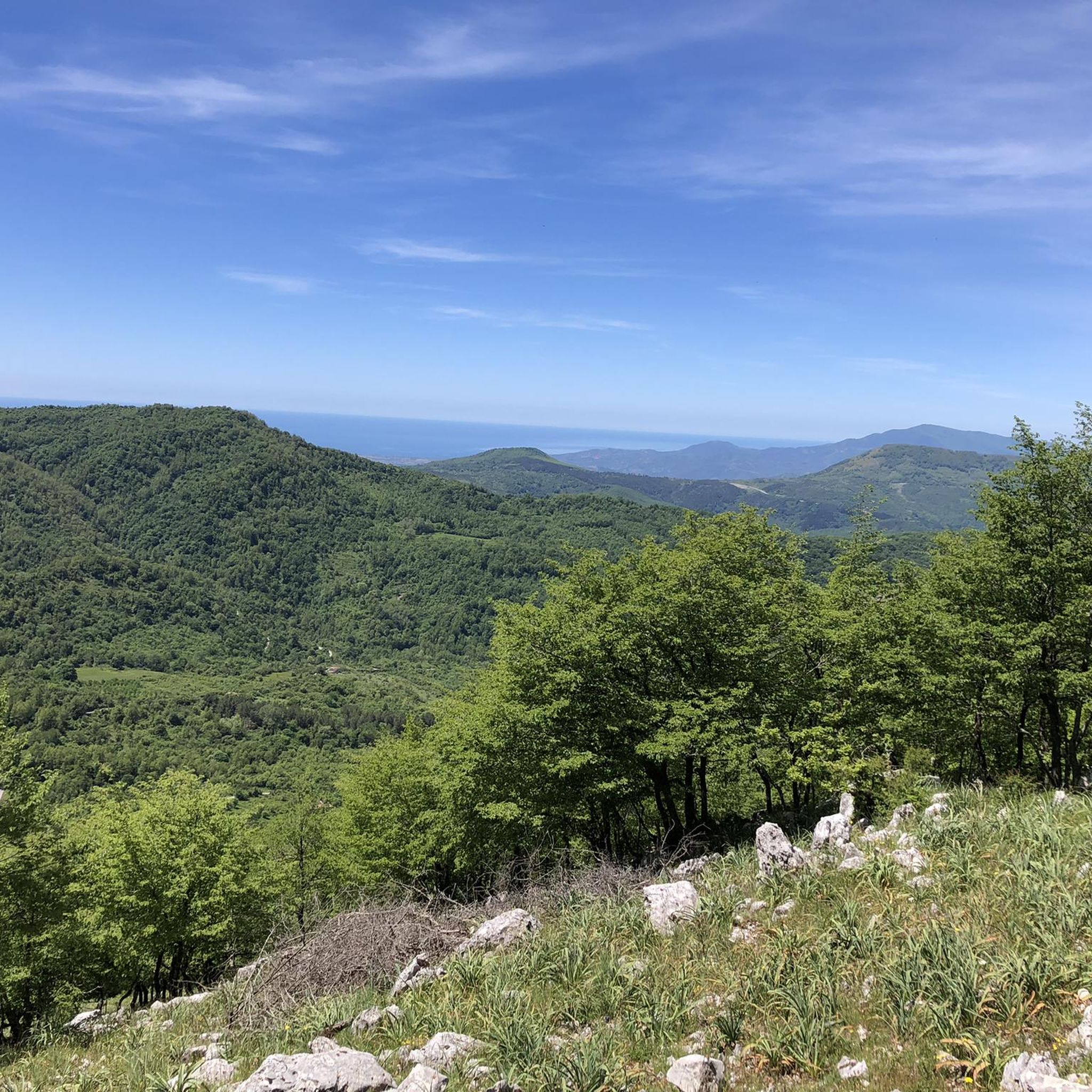
Hiking around Laurino offers access to the diverse landscapes of the Cilento and Vallo di Diano National Park, a UNESCO World Heritage Site. The region is characterized by its mountainous terrain, deep river gorges like the Calore and Sammaro, and a karst environment featuring sinkholes and springs. Trails often follow river valleys, ascend hills, and pass through areas of rich biodiversity, providing varied elevation changes.
Best hiking trails around Laurino
- The most popular hiking route is The Silent Way: Sacco…
Last updated: August 30, 2026
4.4
(10)
36
hikers
14.2km
04:37
620m
610m
Moderate hike. Good fitness required. Easily-accessible paths. Suitable for all skill levels.
4.0
(5)
14
hikers
20.9km
06:38
860m
860m
Hard hike. Very good fitness required. Easily-accessible paths. Suitable for all skill levels.

Sign up for free
4.5
(26)
90
hikers
12.4km
04:05
560m
560m
Moderate hike. Good fitness required. Easily-accessible paths. Suitable for all skill levels.
4.1
(15)
32
hikers
5.05km
01:41
250m
250m
Easy hike. Great for any fitness level. Easily-accessible paths. Suitable for all skill levels.
4.5
(8)
22
hikers
8.59km
02:46
380m
380m
Moderate hike. Good fitness required. Easily-accessible paths. Suitable for all skill levels.
Get access to more routes and recommendations from other explorers.
Sign up for free
Already have an account?
Our route recommendations are based on thousands of hikes, rides, and runs completed by other people on komoot.
Start today with a free account
Your next adventure awaits.
Login or Signup
Popular around Laurino
Tips from the Community

Valuable
0
0

Unfortunately, it's currently impassable due to rockfall.
0
0

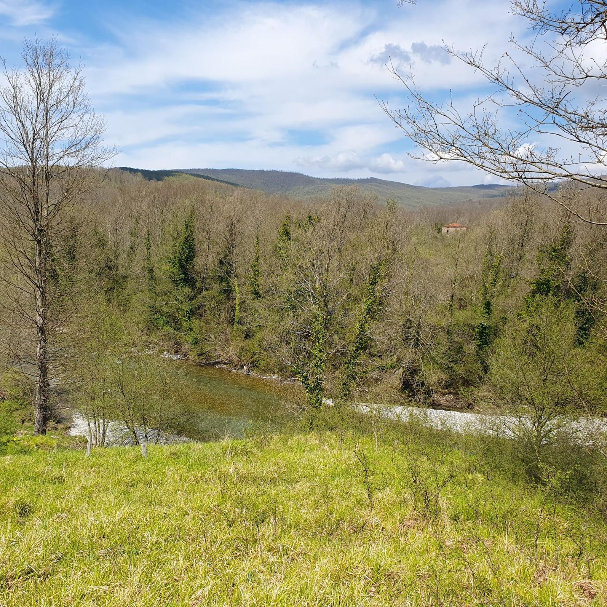
The "Petratetta Bridge" is a natural bridge made of boulders that connects the two banks of the Calore River, located in the Calore Gorges, near Felitto, in the province of Salerno. It can be reached via a trail starting from Remolino, or from another trail starting from the historic center of Felitto. The bridge marks an interesting crossing point for hikers walking through the gorges, also offering the opportunity to admire the "Marmitte dei Giganti," grooves carved by water in the rock.
2
0


Uninhabited town at the foot of the new town
1
0
Free parking in front of the cemetery in the municipality of Roscigno.
1
0
Every time you return you always feel the same amazement at the beauty and (fairly) uncontaminated nature. The path is not difficult, however, non-slip shoes are always recommended.
1
0
Old Roscigno, the UNESCO heritage museum town https://www.ecoturismocampania.it/roscigno-vecchia-paese-museo-patrimonio-unesco-parco-del-cilento/
1
0
Frequently Asked Questions
How many hiking trails are available around Laurino?
There are over 70 hiking trails around Laurino, offering a wide range of options from easy walks to challenging excursions within the Cilento and Vallo di Diano National Park.
Are there easy hiking trails suitable for beginners or families in Laurino?
Yes, Laurino offers 14 easy hiking trails. A good option is the Sammaro Spring – Sammaro Gorge loop from Sacco, which is a relatively short and accessible route, perfect for those looking for a gentle introduction to the area's natural beauty.
What kind of natural landmarks or features can I expect to see on hikes around Laurino?
Hiking around Laurino allows you to explore diverse natural features. You can encounter deep river gorges like the Calore Gorges and the Sammaro Gorge, which are characterized by high peaks and abundant water springs. The area also features unique karst environments, including the Vallivona Sinkhole and the Grava di Vesalo (Gorgonero di Laurino), a large chasm.
Are there any challenging hikes for experienced trekkers in the Laurino area?
Yes, for experienced trekkers, there are 23 difficult routes. A challenging option is the Gorgonero Springs and Grava di Vesalo Loop, a 20.9 km path that explores natural springs and a significant chasm, requiring very good fitness and sure-footedness.
What do other hikers enjoy most about the trails in Laurino?
The trails in Laurino are highly rated by the komoot community, with an average score of 4.5 stars from over 380 reviews. Hikers often praise the diverse landscapes, the well-preserved natural environment of the national park, and the opportunity to explore ancient villages and unique geological formations.
Are there any circular hiking routes around Laurino?
Yes, many routes around Laurino are designed as loops. For example, the Silent Way: Sacco to Roscigno Loop is a popular circular route connecting two historic villages, offering a complete experience without retracing your steps.
Can I find trails that lead to scenic viewpoints or mountain summits near Laurino?
Absolutely. The region offers trails with breathtaking panoramic views. For instance, Monte Gelbison, the fourth highest mountain in Cilento, provides expansive views over Cilento, Vallo di Diano, and the Gulf of Salerno. You can find highlights like the Madonna del Monte Sacro Sanctuary and Monte Gelbison Summit for such experiences.
Are there any historical or cultural sites accessible via hiking trails?
Yes, the area is rich in history. Many trails pass through or near ancient villages and historical structures. The Calore Gorges, for example, feature paths leading to the historic Medieval Bridge of Magliano Nuovo, a well-preserved structure over the Calore River. The Calore Gorges – Calore Gorges Trail loop from Magliano Vetere is one such route.
Is it possible to reach hiking trailheads in Laurino using public transport?
While Laurino is a medieval village nestled within a national park, public transport options to specific trailheads can be limited. It's generally recommended to check local bus schedules for connections to nearby towns like Sacco or Roscigno, which serve as starting points for some routes. However, for many trails, personal vehicle access is often more convenient.
Are there any specific attractions related to water, like springs or rivers, along the hiking routes?
Yes, the region is known for its abundant water features. The Sammaro Springs and Gorge offer picturesque hiking loops, and the Calore River flows through the valley, featuring natural formations like the "Marmitte dei Giganti" (giant's kettles) and the Ponte Petratetta, a natural bridge formed by boulders.
What is the best time of year to go hiking in Laurino?
The best time to hike in Laurino is typically during the spring (April to June) and autumn (September to October) when the weather is mild and the natural scenery is at its most vibrant. Summers can be hot, especially in the gorges, while winters may bring colder temperatures and potentially snow at higher elevations.
Most popular attractions around Laurino

Get inspired with the komoot mobile app


Explore more
Browse the best Hikes in other regions.
