The best road cycling routes around San Gregorio Magno
4.5
(7)
99
riders
17
rides
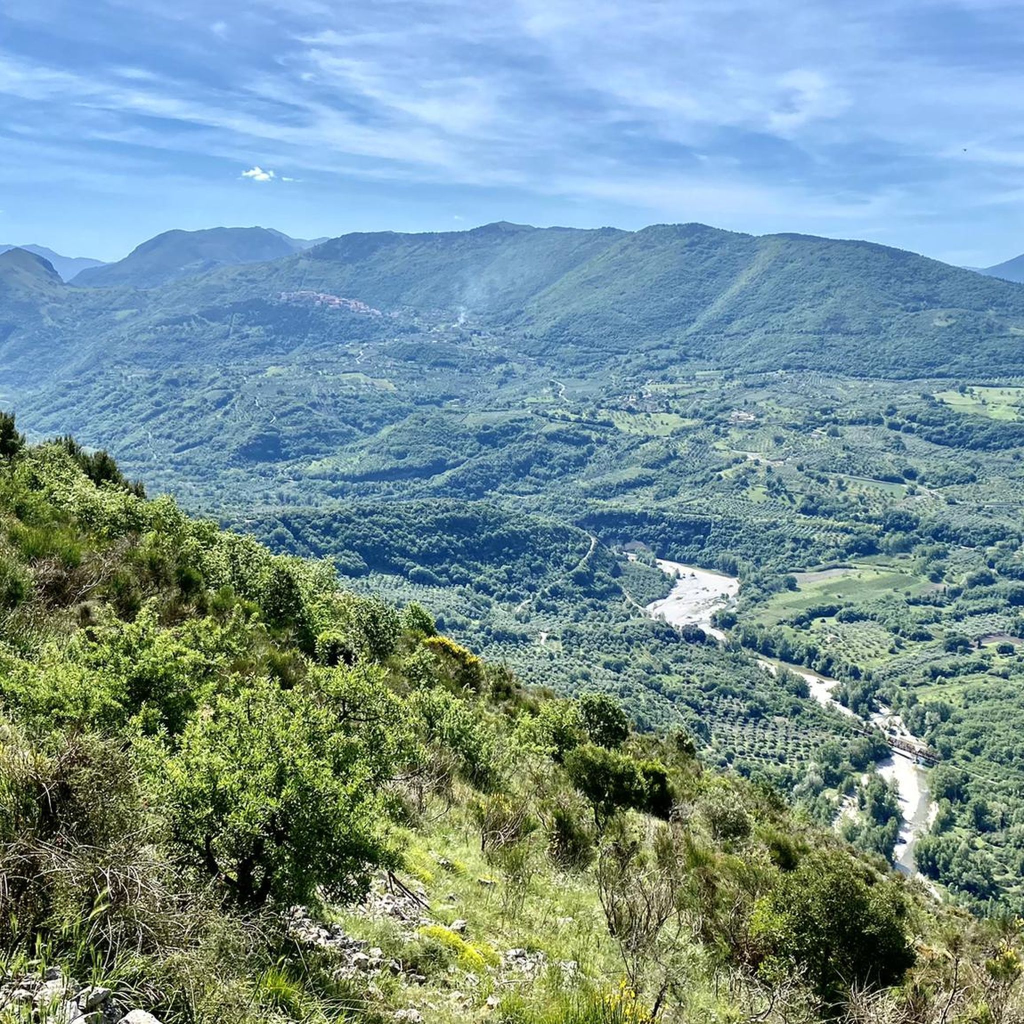
Road cycling routes around San Gregorio Magno, located in the province of Salerno, Italy, traverse a region characterized by its varied topography within the Cilento, Vallo di Diano and Alburni National Park. The area features a blend of mountains and valleys, offering diverse cycling experiences. Road bike routes in this setting often include challenging climbs and descents through natural landscapes. The terrain provides a range of elevation changes suitable for experienced road cyclists.
Best road cycling routes around San Gregorio…
Last updated: May 24, 2026
12
riders
95.5km
04:43
1,450m
1,450m
Hard road ride. Very good fitness required. Mostly well-paved surfaces and easy to ride.
8
riders
Hard road ride. Very good fitness required. Mostly well-paved surfaces and easy to ride.

Sign up for free
8
riders
58.3km
03:12
1,120m
1,120m
Hard road ride. Very good fitness required. Mostly well-paved surfaces and easy to ride.
3.0
(1)
11
riders
72.9km
03:55
1,380m
1,380m
Hard road ride. Very good fitness required. Mostly well-paved surfaces and easy to ride.
13
riders
68.3km
04:19
1,670m
1,670m
Hard road ride. Very good fitness required. Mostly well-paved surfaces and easy to ride.
Get access to more routes and recommendations from other explorers.
Sign up for free
Already have an account?
Our route recommendations are based on thousands of hikes, rides, and runs completed by other people on komoot.
Start today with a free account
Your next adventure awaits.
Login or Signup
Popular around San Gregorio Magno

Tips from the Community

Petina is perhaps one of the most mountainous villages in Campania. It sits directly on the slopes of the Alburni Mountains, completely surrounded by centuries-old chestnut groves. The village is very small and offers a grocery store, almost always open and well-stocked, a restaurant renowned for its local dishes, and a bar with tables in a beautiful courtyard.
1
0

Pertosa is a small village in the Tanagro Valley, known for its connection to the nearby Pertosa-Auletta Caves. Its stone houses, quiet streets, and valley viewpoints lend it a welcoming, rural atmosphere. Strolling through the center, you'll discover internal courtyards, ancient fountains, and glimpses of the Alburni Mountains.
0
0
Auletta is a village overlooking the Tanagro Valley, characterized by a stone historic center, medieval alleys, and panoramic terraces overlooking the Alburni Mountains. Walking or cycling through its streets, you'll find ancient buildings, small squares, and the tranquil atmosphere of the Salerno hinterland.
0
0
The Pertosa-Auletta Caves, also known as the Angel Caves, are one of the most fascinating speleological complexes in Campania, famous for their navigable underground river: the only one in Italy and one of the few in Europe. The cave system extends for over three kilometers beneath the Alburni Mountains, through immense chambers, ancient concretions, and natural light effects. For information on admission, guided tours, and opening hours, visit: https://fondazionemida.com/grotte-pertosa-auletta
1
0

Map of the ancient medieval village of Quaglietta, a small hamlet in the municipality of Calabritto.
11
0
A sign of centuries-old charm that has remained unchanged over time, the medieval village of Quaglietta is an important historical testimony to the Lombard domination in Irpinia: with its castle and its Albergo Diffuso, it offers unique sensations in a magical and fairytale setting.
8
0
Some of the many arches that are a distinctive feature of the medieval village of Quaglietta.
15
0
Coat of arms of the hamlet of Quaglietta.
14
0
Frequently Asked Questions
What kind of terrain can I expect when road cycling around San Gregorio Magno?
The region around San Gregorio Magno, situated within the Cilento, Vallo di Diano and Alburni National Park, offers a diverse topography of mountains and valleys. This means cyclists can anticipate a mix of challenging climbs and rewarding descents through natural landscapes, providing a varied experience for road biking enthusiasts.
Are there road cycling routes suitable for beginners in San Gregorio Magno?
While many routes in the San Gregorio Magno area present significant challenges with substantial elevation changes, there are some moderate options available. For example, the Quaglietta Church – Valle della Caccia Oasis loop from Colliano is a moderate 35.3 km route with 593 meters of elevation gain, offering a less strenuous option compared to the more difficult trails.
What are some of the longer and more challenging road cycling routes in the area?
For experienced cyclists seeking a challenge, routes like the A.N.A.S. Fountain and Fig Tree – Fontana del Vescovo loop from Sicignano degli Alburni stand out. This difficult path covers an extensive 169.3 km with nearly 3000 meters of elevation gain, offering extensive riding through varied terrain and substantial climbs. Another demanding option is the Roadbike loop from Romagnano Vietri Salvitelle, which is over 100 km long with significant climbing.
What attractions or landmarks can I see along road cycling routes near San Gregorio Magno?
The region is rich in historical and natural sights. Along various routes, you might encounter historical castles such as The Castle of Buccino or the Fortified Village of Quaglietta. Natural features like the "Pietra Spaccata" area and The Split Rock also offer interesting points of interest.
Are there any circular road cycling routes around San Gregorio Magno?
Yes, many of the road cycling routes in the area are designed as loops, allowing you to start and finish at the same point. Examples include the popular Roadbike loop from Petina and the View of Sasso di Castalda loop from Vietri di Potenza, both offering extensive circular rides through the regional landscape.
What do other road cyclists enjoy most about road cycling in San Gregorio Magno?
The road cycling routes around San Gregorio Magno are highly rated by the komoot community, with an average score of 5.0 stars from over 5 reviews. Cyclists often praise the challenging nature of the routes, the stunning natural landscapes within the national park, and the diverse terrain that makes for engaging rides.
Is San Gregorio Magno a good destination for family-friendly road cycling?
Given the predominantly difficult and challenging nature of many road cycling routes in San Gregorio Magno, with significant elevation changes, it may not be ideal for very young children or families seeking entirely flat, easy rides. However, families with older, experienced cycling members might find the moderate routes enjoyable. Always check the route difficulty and elevation profiles before heading out.
What is the best time of year for road cycling in San Gregorio Magno?
While specific weather data isn't provided, the region's location in southern Italy suggests that spring (April-June) and autumn (September-October) would likely offer the most pleasant temperatures for road cycling, avoiding the intense heat of summer and the cooler, potentially wetter conditions of winter. These seasons typically provide comfortable riding conditions for tackling the area's varied terrain.
Are there places to stop for refreshments or accommodation along the road cycling routes?
The region features charming towns and villages, and while specific cafes or hotels on every route are not detailed, you can generally find places for refreshments and accommodation in the larger towns or at the start/end points of routes. Planning your stops in advance, especially on longer routes, is advisable.
What are the parking options for cyclists in San Gregorio Magno?
While specific dedicated cycling parking facilities are not detailed, you can typically find public parking in and around the town centers of San Gregorio Magno and other nearby villages where routes often begin. It's recommended to check local parking regulations upon arrival.
Are there any specific permits required for road cycling within the Cilento, Vallo di Diano and Alburni National Park?
Generally, no specific permits are required for road cycling on public roads within national parks in Italy. However, it's always good practice to respect park regulations, stay on designated routes, and be mindful of the natural environment. For any specific concerns, you can consult the official park authority website.
Can I reach the road cycling routes around San Gregorio Magno using public transport?
San Gregorio Magno is a town in a rural part of Campania. While there might be local bus services connecting it to larger towns, direct public transport links specifically for accessing remote cycling route starting points might be limited. It's advisable to research local bus schedules or consider driving to your chosen starting point for greater flexibility.
Most popular routes around San Gregorio Magno
Most popular attractions around San Gregorio Magno

Get inspired with the komoot mobile app


Explore more
Browse the best Road cycling routes in other regions.
