The best road cycling routes around Valstagna
4.5
(526)
14,764
riders
99
rides
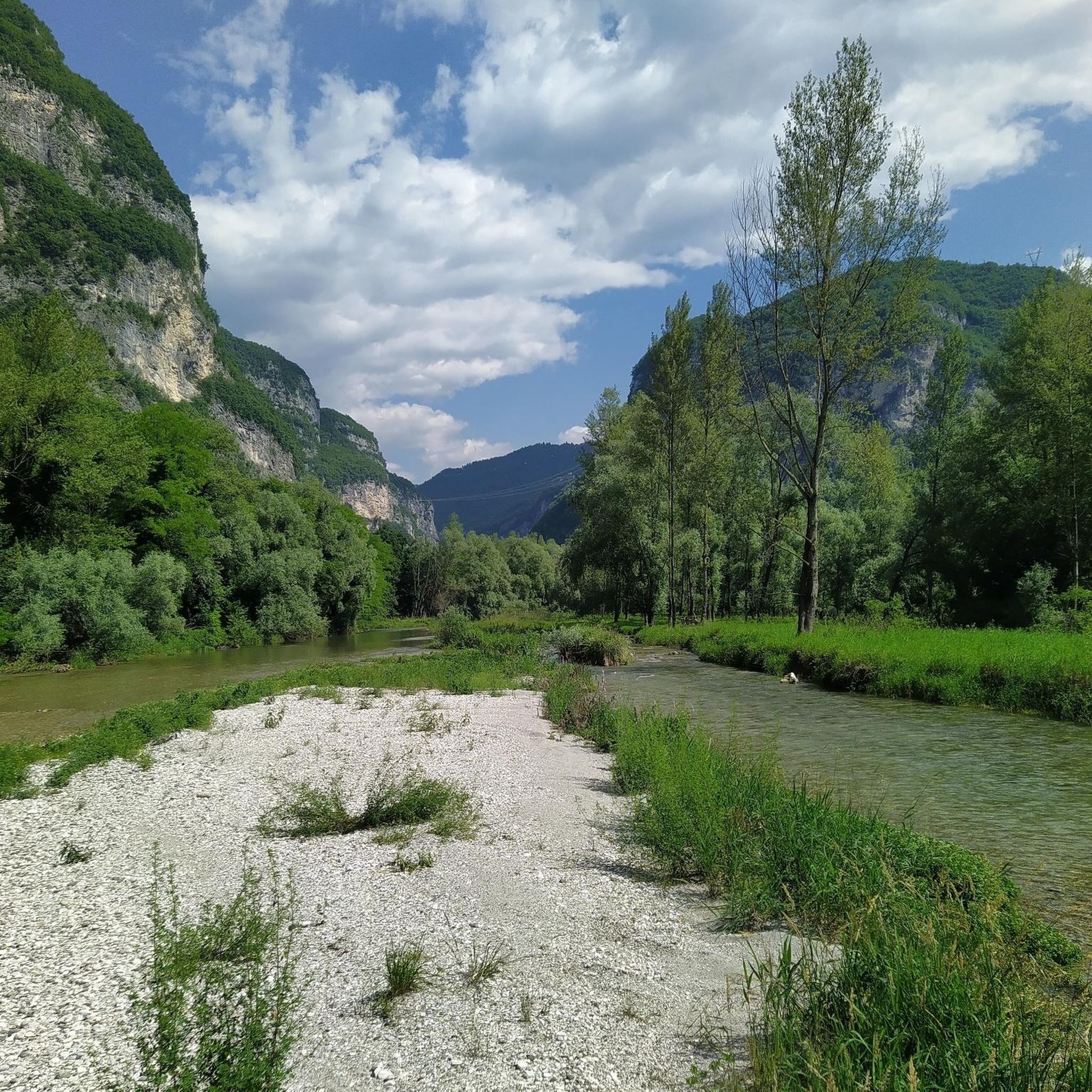
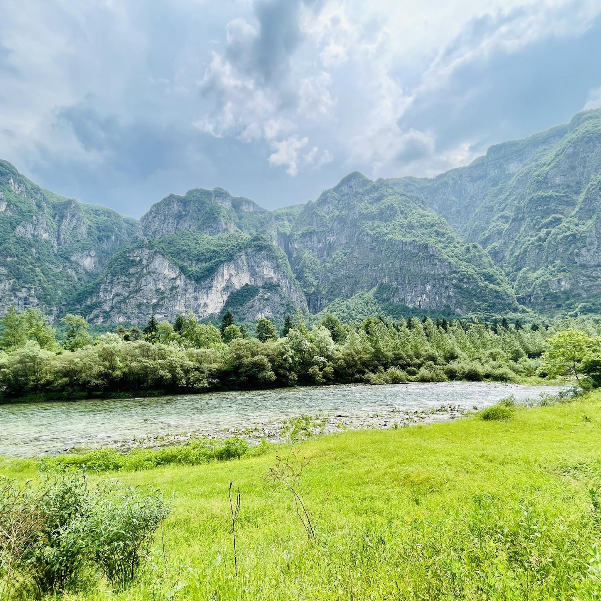
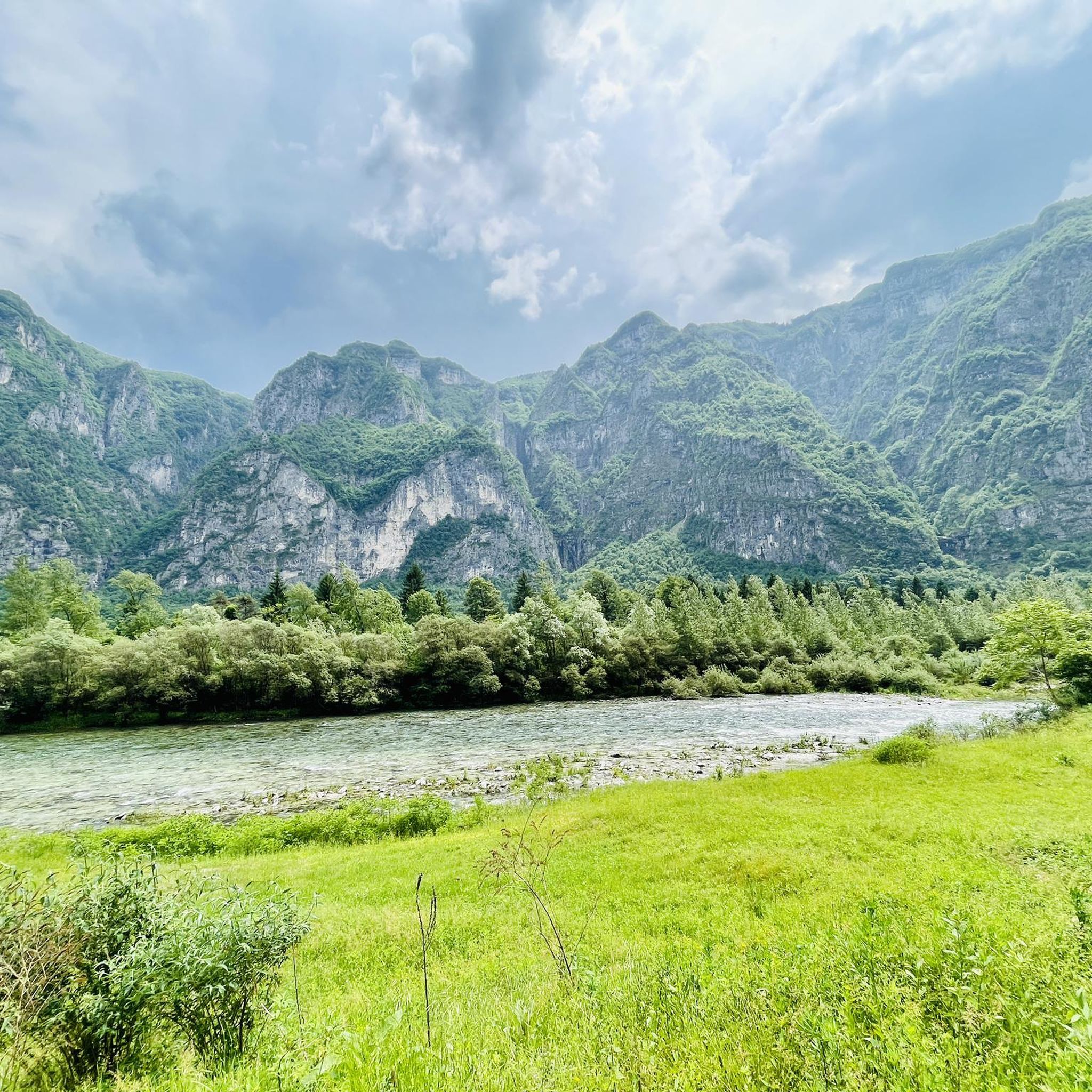
Road cycling around Valstagna is characterized by its location within the scenic Brenta Valley, where the Brenta River flows. The terrain features dramatic terraced hillsides known as "marocche" and is flanked by mountain spurs leading to the Asiago Plateau. This combination offers varied cycling experiences, from riverside paths to challenging mountain climbs.
Best road cycling routes around Valstagna
- The most popular road cycling route is Valsugana Cycle Path – Valsugana Cycle Route loop from San Marino, a 68.2 miles…
Last updated: September 30, 2026
4.7
(65)
1,579
riders
109km
04:49
1,010m
1,010m
Hard road ride. Very good fitness required. Some segments of this route may be unpaved and difficult to ride.
5.0
(5)
20
riders
25.3km
03:01
1,740m
190m
Hard road ride. Very good fitness required. Some segments of this route may be unpaved and difficult to ride.

4.9
(15)
372
riders
92.0km
05:14
2,030m
2,030m
Hard road ride. Very good fitness required. Some segments of this route may be unpaved and difficult to ride.
4.4
(12)
229
riders
43.0km
02:27
960m
960m
Hard road ride. Very good fitness required. Some segments of this route may be unpaved and difficult to ride.
5.0
(5)
262
riders
107km
06:23
2,690m
2,690m
Hard road ride. Very good fitness required. Some segments of this route may be unpaved and difficult to ride.
Get access to more routes and recommendations from other explorers.
Already have an account?
Our route recommendations are based on thousands of hikes, rides, and runs completed by other people on komoot.
Start today with a free account
Your next adventure awaits.


Tips from the Community

From Caldonazzo, a beautiful cycle path leads along the shore of the lake to Pergine. For swimming, it's better to head to the neighboring Lago di Levico.
0
0
It is also worth riding on service roads off the Valsugana cycle path, but partly this involves a few meters of altitude.
0
0

Quiet village, touristy in summer due to its beautiful lake,
0
0

Cima di Campo (1,425–1,512 m) in Arsiè is a well-known mountain and alpine pass in the Belluno Dolomites, famous for its cycling climb, the Forte Leone from World War I, and hiking routes. Length: Approximately 18.5 km starting from the center of Arsiè. Elevation gain and Gradient: 1,111 meters of elevation gain with an average gradient of 6% and double-digit peaks in the initial sections towards Mellame and Col Perer. Famous for being the first iconic climb of the Dolomiti Bellunesi cycling granfondo. Forte Leone: A large armored military fortress built between 1906 and 1912 to defend the border, currently undergoing renovation.
1
0
historic mountain road with eight hairpin bends, the Tagliata della Scala and the Tagliata delle Fontanelle. They are located between the Valsugana and the territory of Feltre, in Veneto. The fortifications: Between 1892 and 1895, the Tagliata della Scala in the lower part and the Tagliata delle Fontanelle in the upper part were built to defend the border. The walkway: The two parts are joined by a long covered gallery with loopholes. War: They did not play a major military role during World War I and were later abandoned.
0
0
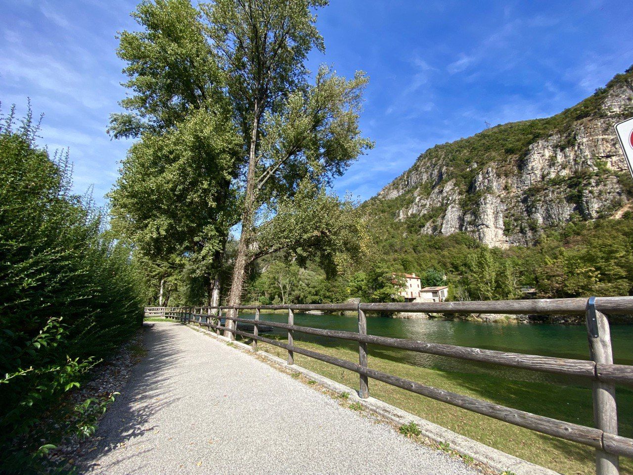
The cycle path towards Cismon del Grappa, very cool and shaded.
0
0
Fortification built in a natural cave. In the Great War it was a blocking point defending Valsugana. There are references to it as a fortification around the year 1000.
0
0
The Murello road, the route of the old military road, allows you to reach Castel Tesino and the Brocon pass from Grigno. Striking panoramic views.
0
0
Frequently Asked Questions
How many road cycling routes are available around Valstagna?
Valstagna offers a wide variety of road cycling experiences, with over 110 routes available. These range from easier rides to very challenging climbs, catering to different fitness levels.
What kind of terrain can I expect when road cycling around Valstagna?
Road cycling in Valstagna is defined by its dramatic landscapes. You'll find routes along the scenic Brenta Valley and River, through terraced hillsides known as 'marocche', and up into the mountain spurs leading to the Asiago Plateau. This means a mix of riverside paths and demanding mountain climbs.
Are there easy road cycling routes suitable for beginners in Valstagna?
Yes, Valstagna has options for beginners. There are 12 easy road cycling routes, often found along the valley floor, providing a gentler introduction to the area's beauty. These routes typically feature less elevation gain and are ideal for a relaxed ride.
Where can I find challenging road cycling routes with significant climbs?
For experienced cyclists seeking a challenge, Valstagna offers 50 difficult routes. Notable climbs include the Climb to Monte Grappa from Cismon del Grappa, which features significant elevation gain. Other demanding options include the View of Valstagna – Primolano Steps loop from San Nazario and the Lake Corlo – Cima di Campo loop from Cismon del Grappa.
What natural attractions can I see along road cycling routes in Valstagna?
Many routes offer stunning views of the Brenta River and the surrounding valley. You can also explore natural wonders like the Silan Waterfalls or the impressive Gorghi Scuri gorge. The famous Grotta di Oliero (Oliero Caves), among Europe's largest karstic caves, are also a significant natural attraction in the region, often accessible from cycling paths like the Valsugana Cycle Path.
Is the Valsugana Cycle Path suitable for road bikes, and what does it offer?
Yes, the Valsugana Cycle Path (Ciclopista del Brenta) is excellent for road bikes. It's largely flat and follows the Brenta River, connecting the lakes of Levico and Caldonazzo to Valstagna and continuing to Bassano del Grappa. It offers picturesque views and numerous interesting stops, including the Oliero Caves. For more details, you can visit visitvalsugana.it.
Are there any long-distance road cycling routes in the area?
For those looking for longer rides, the Valsugana Cycle Path – Valsugana Cycle Route loop from San Marino is a popular choice, covering nearly 110 km. Another extensive option is the Lake Corlo – Cima di Campo loop from Cismon del Grappa, which is over 100 km long and features significant elevation.
What do other road cyclists enjoy most about road cycling in Valstagna?
The road cycling routes around Valstagna are highly rated by the komoot community, with an average score of 4.6 stars from over 300 reviews. Cyclists often praise the diverse terrain, from scenic riverside paths to challenging mountain ascents, and the stunning views of the Brenta Valley and surrounding landscapes.
Are there family-friendly road cycling routes in Valstagna?
While many routes involve varied terrain, the flatter sections of the Valsugana Cycle Path are generally suitable for families. These paths offer a safe and enjoyable environment along the Brenta River, with opportunities for stops and refreshments.
Are there places to stop for refreshments or bike services along the routes?
Along popular cycling routes, especially the Valsugana Cycle Path, you can find service points for bike repairs and 'Bicigrill' rest areas. These spots often offer refreshments and tourist information, making them convenient stops during your ride.
What is the best time of year for road biking in Valstagna?
The spring and autumn months generally offer the most pleasant conditions for road cycling in Valstagna, with milder temperatures and beautiful scenery. Summer can also be good, but be prepared for warmer weather, especially on climbs. Winter can be challenging due to colder temperatures and potential snow at higher elevations.
Are there road cycling routes that are loop trails?
Yes, many road cycling routes in Valstagna are designed as loops, allowing you to start and end in the same location. Examples include the Valsugana Cycle Path – Valsugana Cycle Route loop from San Marino and the Primolano Steps – Lake Corlo loop from Cismon del Grappa.
Most popular routes around Valstagna
Most popular attractions around Valstagna

Get inspired with the komoot mobile app


Explore more
Browse the best Road cycling routes in other regions.
