The best running trails around Arsiero
4.5
(95)
6,061
runners
14
runs
Jogging around Arsiero, nestled in the Provincia di Vicenza, offers a diverse landscape for runners. The region features varied terrain, from river trails along the Astico to paths around natural ponds and routes with significant elevation changes. Historical elements, such as old railway sections and stone bridges, are integrated into many running routes, providing unique points of interest. The surrounding mountains contribute to challenging trails and scenic backdrops for running.
Best jogging routes around Arsiero
- The most popular jogging route…
Last updated: October 8, 2026
5.0
(2)
154
runners
19.5km
02:41
800m
800m
Hard run. Very good fitness required. Sure-footedness, sturdy shoes and alpine experience required.
5.0
(2)
236
runners
Moderate run. Good fitness required. Mostly paved surfaces. Suitable for all skill levels.

16
runners
8.09km
00:52
130m
130m
Moderate run. Good fitness required. Mostly paved surfaces. Suitable for all skill levels.
11
runners
13.2km
01:25
200m
200m
Moderate run. Good fitness required. Mostly paved surfaces. Suitable for all skill levels.
9
runners
6.40km
00:46
210m
220m
Moderate run. Good fitness required. Mostly paved surfaces. Suitable for all skill levels.
Get access to more routes and recommendations from other explorers.
Already have an account?
Our route recommendations are based on thousands of hikes, rides, and runs completed by other people on komoot.
Start today with a free account
Your next adventure awaits.

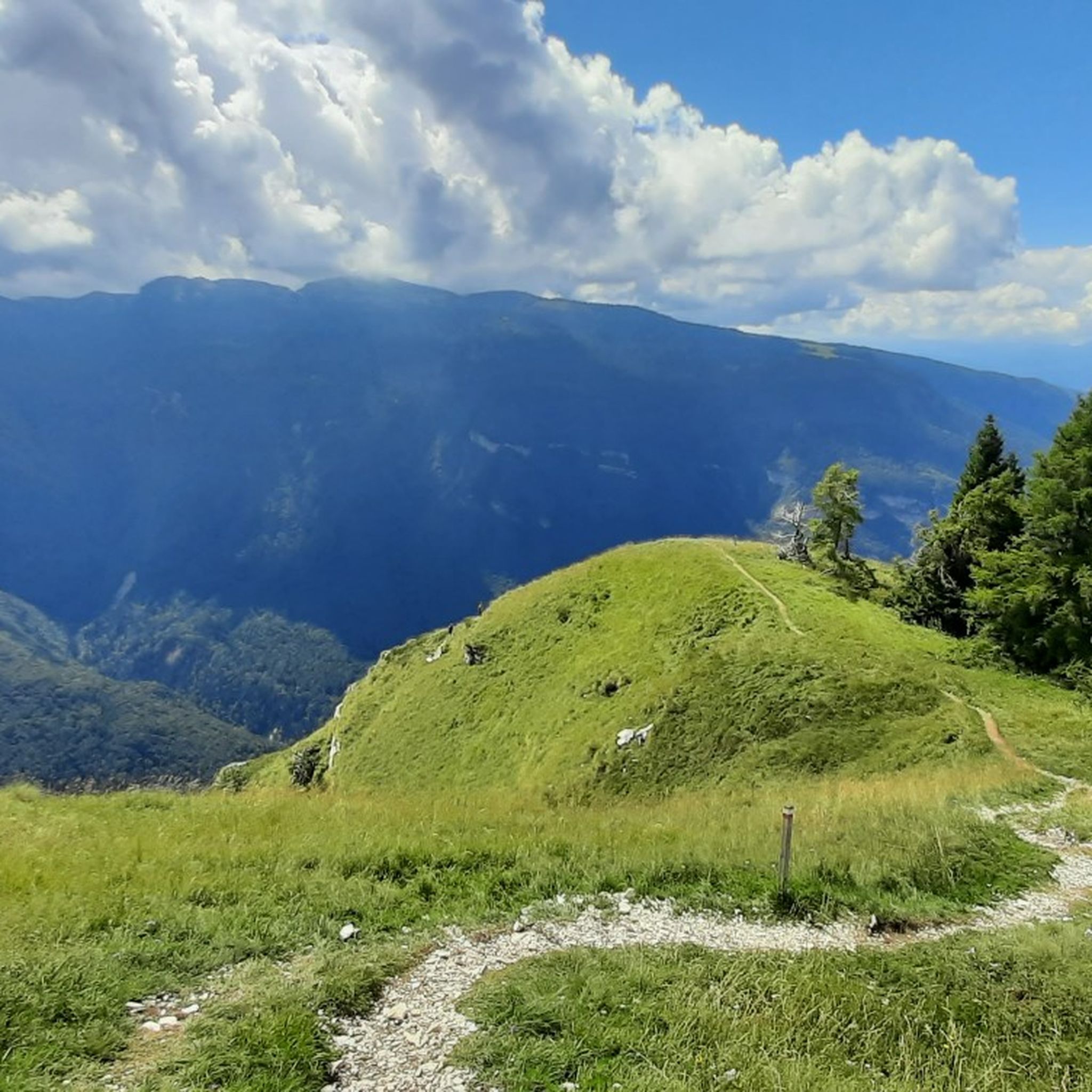
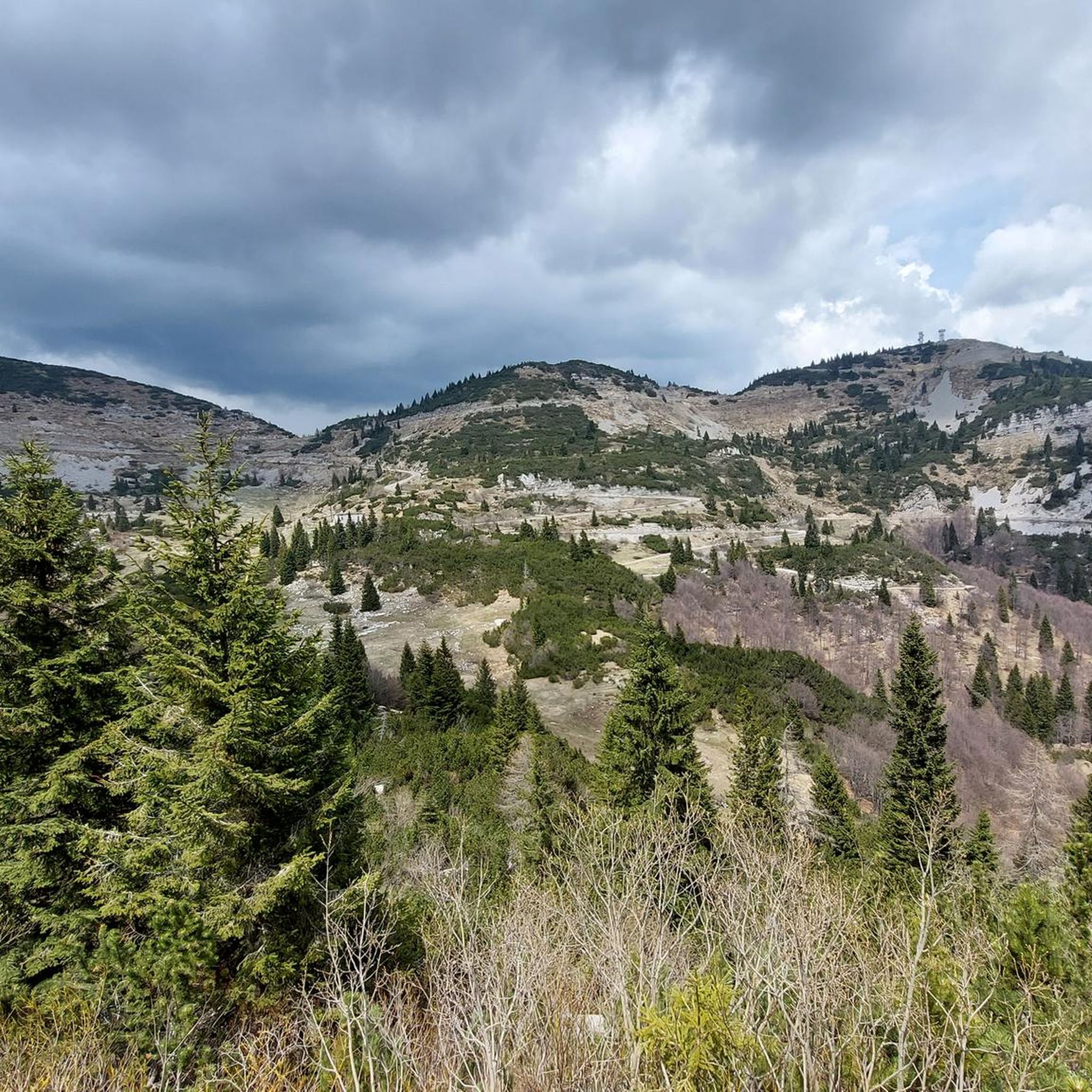
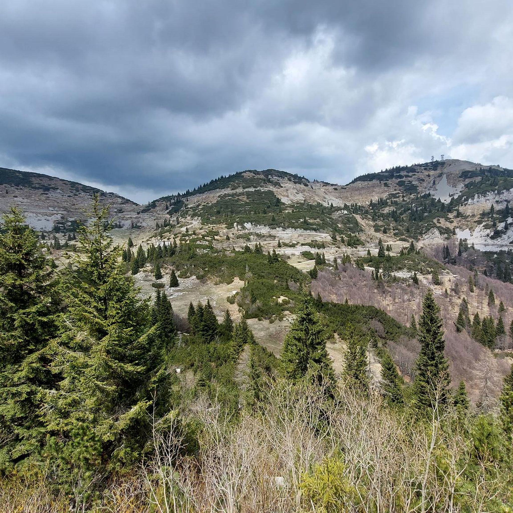
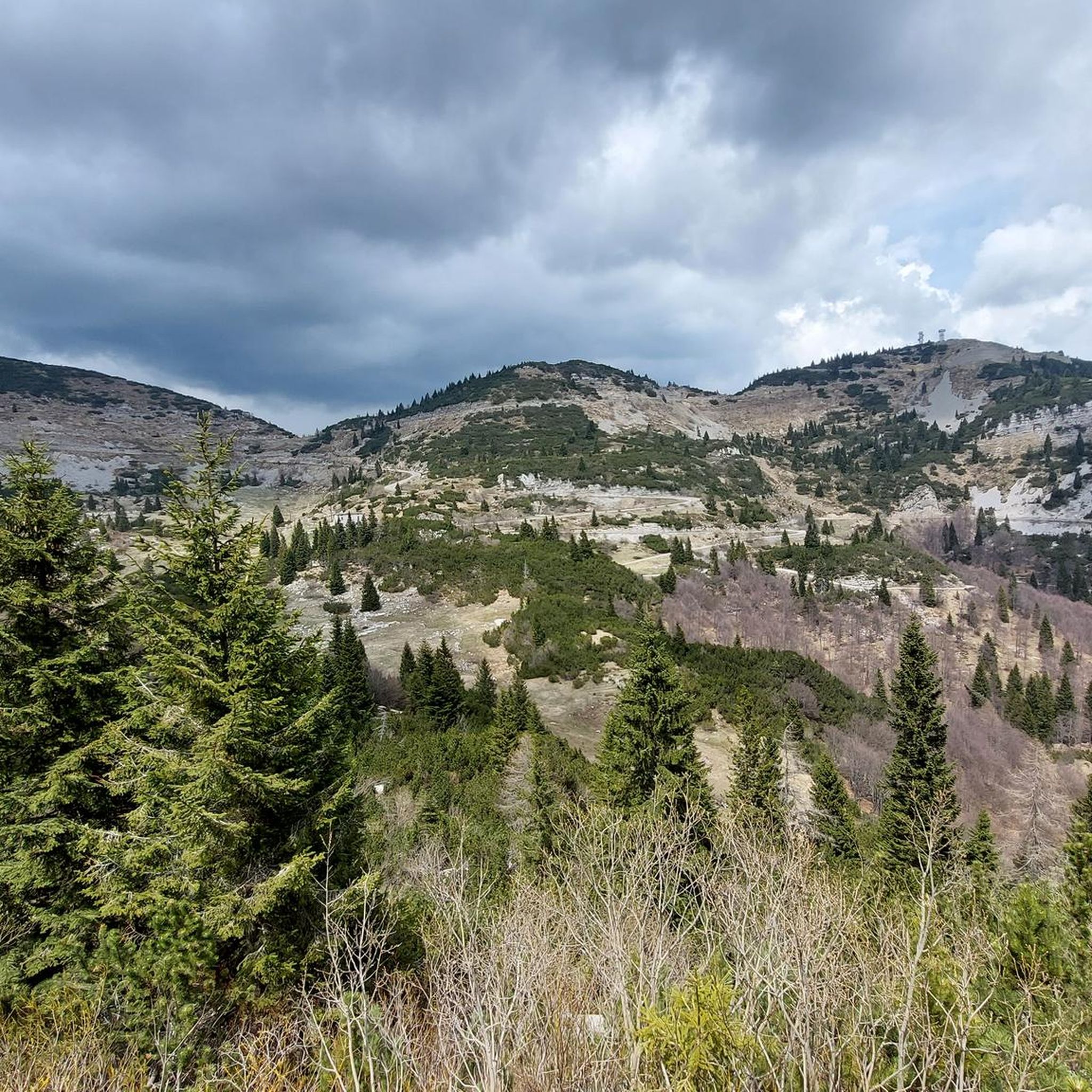
Other adventures around Arsiero

Tips from the Community


To remember those who lost their lives in the war and to admire the mountains that surround us
1
0

beautiful stretch to reach Arsiero from Piovene Rocchette.... away from traffic and asphalt!!!
0
0


Laghi, the smallest municipality in Veneto, is an enchanted village surrounded by mountains and immersed in greenery. With its two lakes, it offers a fairytale atmosphere, especially during the Christmas period, making it a magical place to visit.
0
0

Laghi, with its 120-130 inhabitants including the districts, is the smallest municipality in Veneto: it is the size of a district, but — like any self-respecting municipality — it has a square, a church (almost as big as the rest of the town!), a town hall, a post office, a cemetery, a bar and an excellent restaurant. The excellent restaurant Dalla Santa is historic and popular, with gnocchi as a traditional specialty. Laghi is located in the center of the Val di Ferro, a tributary of the Val Posina, crowned by an amphitheater of majestic and jagged mountains, surrounded by fields, reflected in two clear lakes from which it takes its name: a bucolic and scenic picture of rare beauty. In this adorable little village, secluded from the rest of the world, silence and peace reign supreme: it seems like a journey through time! https://it.wikipedia.org/wiki/Laghi_(comune)
1
0

Evocative old arched stone bridge over the Posina stream. Construction date unknown. Flanked by the tallest and parallel bridge from the end of the 19th century (in masonry with high arches at the ends and in the central part in metal), built for the passage of the Rocchette-Arsiero railway and the arrival at the Arsiero station.
0
0
Frequently Asked Questions
How many running routes are available in the Arsiero region?
The Arsiero area offers a diverse network of over 15 running routes, catering to various fitness levels. You'll find everything from easier paths to challenging trails with significant elevation changes.
Are there any easy or beginner-friendly jogging routes around Arsiero?
Yes, while many routes offer a moderate to difficult challenge, there is at least one easy route available. For those looking for a less strenuous run, consider paths with minimal elevation gain, often found along river trails or around flatter sections of the region.
What kind of terrain can I expect on the running trails in Arsiero?
Jogging in Arsiero offers a rich variety of terrain. You can expect scenic river trails along the Astico, paths winding around natural ponds like the Laghi Ponds, and routes that ascend into the surrounding mountains, providing breathtaking views and significant elevation changes. Many trails also incorporate historical elements, such as old railway sections.
Are there any circular running routes in Arsiero?
Absolutely. Many of the popular running routes in Arsiero are loops, allowing you to start and finish in the same location. For example, the Stone Bridge over the Posina loop from Arsiero is a moderate 13.2 km circular trail, and the Laghi Ponds loop from Laghi offers a moderate 6.4 km option.
What historical landmarks or points of interest can I see while running in Arsiero?
Arsiero's running routes are rich with history. You can encounter historical railway sections, such as those on the Stone Bridge over the Posina – Rocchette-Arsiero Rail Trail loop from Arsiero. The region also features notable stone bridges like the Stone Bridge over the Posina and Ponte degli Schiri. For a truly unique experience, the historic WWI 'Road of the 52 Tunnels' offers a challenging run with historical significance, though it requires a torch and appropriate footwear.
Are there any running routes that feature water bodies like rivers or lakes?
Yes, the region is known for its beautiful water features. The Astico River Trail – Contrà Pria Pools loop from Arsiero follows the scenic Astico River. You can also explore routes around the picturesque Laghi Ponds, such as the challenging Laghi – Laghi Ponds loop from Laghi.
What do other runners say about the trails in Arsiero?
The running routes in Arsiero are highly regarded by the komoot community, boasting an average rating of 4.5 stars from over 80 reviews. More than 6,000 runners have explored the varied terrain, often praising the diverse landscapes, from river paths to challenging mountain trails, and the integration of historical elements.
Are there any challenging running trails for experienced runners in Arsiero?
Definitely. Arsiero offers several difficult routes for experienced runners seeking a challenge. Trails like the Stone Bridge over the Posina – Rocchette-Arsiero Rail Trail loop from Arsiero (15.7 km) and the Laghi – Laghi Ponds loop from Laghi (21.1 km) feature significant elevation gains and require good fitness. The 'Road of the 52 Tunnels' is another demanding option for the very fit.
Can I find routes with good viewpoints or natural scenery?
Many routes in Arsiero offer stunning natural scenery and mountain views. Locations like Contra' Pria are known for their beautiful surroundings. For panoramic vistas, consider routes that lead towards higher altitudes or mountain passes, where you can admire the mountains from points like the General Achille Papa Refuge.
Are the running trails in Arsiero suitable for families?
While some routes are challenging, Arsiero does offer options suitable for families, especially those looking for easier, mostly paved surfaces with minimal elevation gain. Look for shorter, less strenuous paths, particularly those along river trails or around the more accessible pond areas, which can be enjoyed by all skill levels.
What is the typical distance and duration of running routes in Arsiero?
The routes vary significantly. You can find shorter, moderate runs like the Laghi Ponds loop from Laghi at 6.4 km, which takes about 45 minutes. Longer, more challenging routes, such as the Laghi – Laghi Ponds loop from Laghi, can be over 21 km and take more than 2 hours to complete, depending on your pace and fitness level.
Are there any specific attractions or refuges accessible via running trails?
Yes, some longer and more strenuous runs can lead to significant attractions. While not directly on a jogging path, destinations like the General Achille Papa Refuge or Forte di Punta Corbin offer rewarding historical insights and stunning views for those willing to undertake a longer, more challenging trail run.
Most popular attractions around Arsiero

Get inspired with the komoot mobile app


Explore more
Browse the best Running Trails & Routes in other regions.
