The best MTB trails around Arsiero
4.4
(85)
500
riders
20
rides
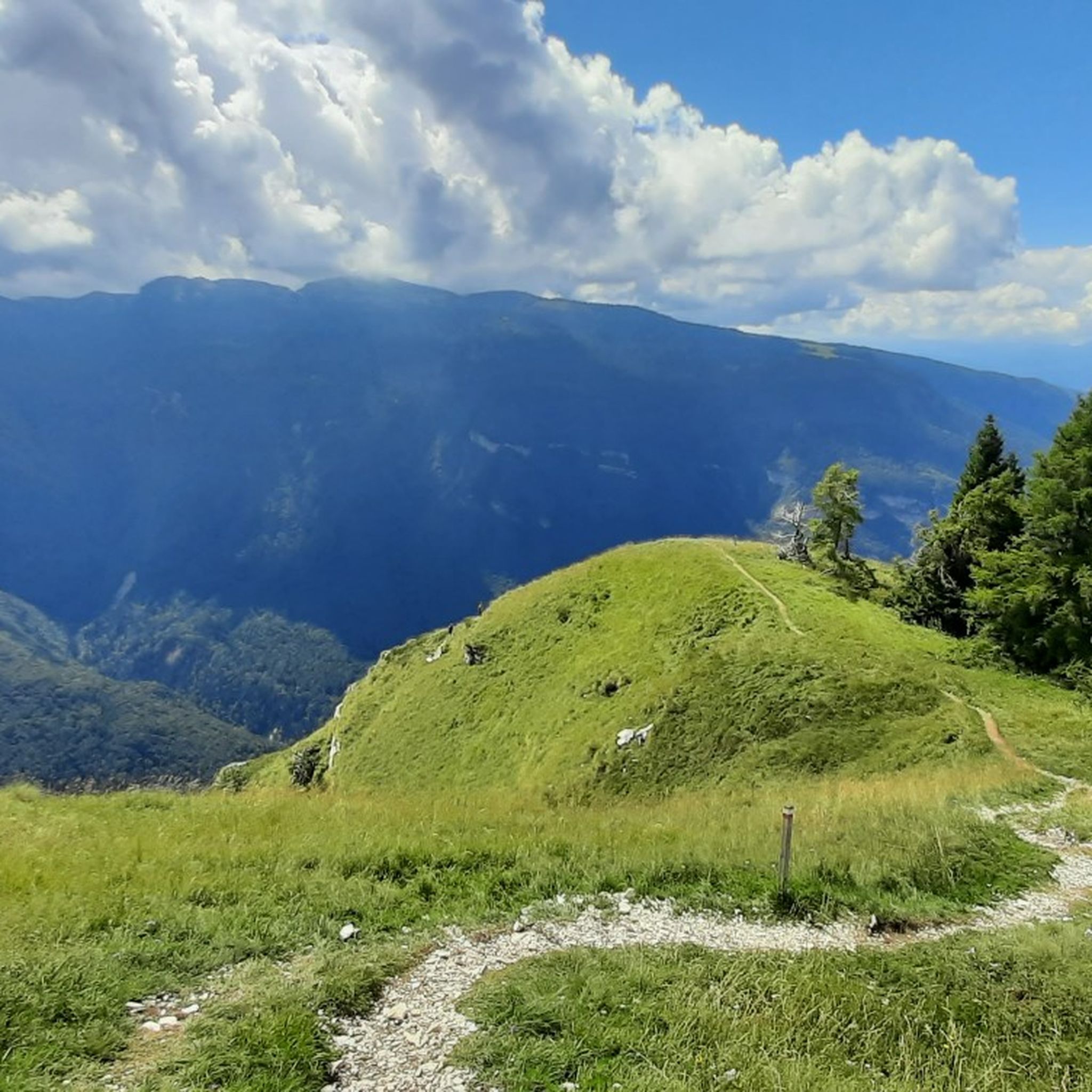
Mountain bike trails around Arsiero offer diverse landscapes, from challenging technical paths to scenic, less demanding routes. The region is characterized by the Alte Valli Vicentine, with views of mountains like Monte Toraro and the Pasubio massif, and features the Astico River. Cyclists can explore alpine environments, historical war trails, and the thriving nature of the Tonezza Plateau.
Best mountain bike trails around Arsiero
- The most popular mountain bike trail is Anello di Monte Toraro, a 14.4 miles (23.2…
Last updated: October 9, 2026
4.7
(3)
22
riders
23.2km
02:32
700m
700m
Moderate mountain bike ride. Good fitness required. Suitable for all skill levels.
4.7
(18)
86
riders
69.3km
06:52
2,200m
2,200m
Hard mountain bike ride. Very good fitness required. Advanced riding skills necessary. Some portions of the route may require you to push your bike.

3.9
(11)
38
riders
54.9km
05:23
1,700m
1,700m
Hard mountain bike ride. Very good fitness required. Advanced riding skills necessary. Some portions of the route may require you to push your bike.
4.3
(8)
34
riders
38.5km
04:11
1,390m
1,390m
Hard mountain bike ride. Very good fitness required. Advanced riding skills necessary.
4.7
(7)
39
riders
34.1km
03:11
1,110m
1,110m
Hard mountain bike ride. Very good fitness required. Advanced riding skills necessary.
Get access to more routes and recommendations from other explorers.
Already have an account?
Our route recommendations are based on thousands of hikes, rides, and runs completed by other people on komoot.
Start today with a free account
Your next adventure awaits.

Other adventures around Arsiero

Tips from the Community

Long climb, but never too demanding, leading from Arsiero to Monte Toraro. Varied terrain but always very rideable
0
0

Beautiful and evocative. It can be easily traversed on foot or by bicycle. No lights are needed.
1
0
We passed through there on MTB in August. It was closed ☹
1
0
Great viewpoint. A break is highly recommended.
1
0

Putting your feet in the icy water is a great relief from the African heat of this scorching summer.
0
0

Suggestive forest road around Toraro
1
0

The cross is a memorial to where the military cemetery of the Great War stood.
1
0
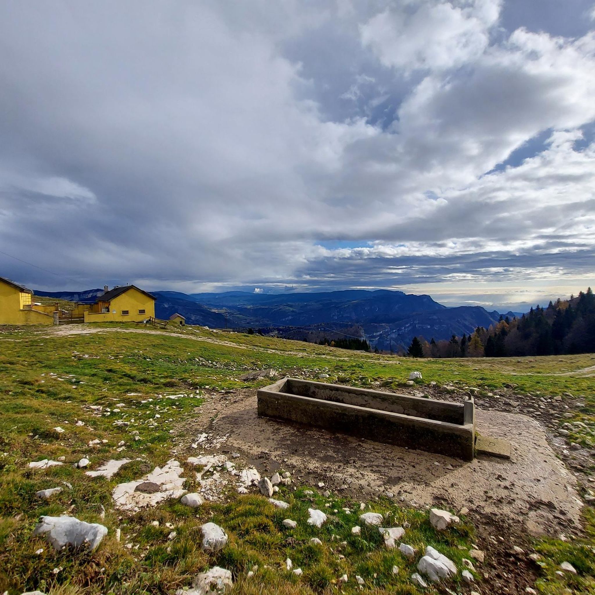
The complex of mountain huts straddling the border between the provinces of Trento and Vicenza
0
0
Frequently Asked Questions
How many mountain bike trails are available around Arsiero?
There are over 25 mountain bike trails around Arsiero, offering a diverse range of experiences for cyclists. The komoot community has explored more than 700 mountain biking routes in the area.
What is the typical difficulty level of mountain bike trails in Arsiero?
The mountain bike trails in Arsiero primarily cater to experienced riders, with 21 routes classified as difficult and 6 as moderate. These routes often feature significant climbs and descents, as well as unpaved segments that require good fitness and technical skill. For example, the Anello di Monte Toraro is a moderate trail, while the Generale D'Havet Tunnel – General Achille Papa Refuge loop from Forte Casa Ratti is considered difficult.
Are there any circular mountain bike routes in Arsiero?
Yes, many mountain bike routes in Arsiero are designed as loops, allowing you to start and finish in the same location. Examples include the Anello di Monte Toraro, which is a 14.4-mile (23.2 km) moderate loop, and the more challenging Trail to Malga Zolle – Beech Forest of Forest Trail loop from Arsiero, covering 19.8 miles (31.9 km).
What kind of natural landscapes can I expect to see while mountain biking around Arsiero?
Arsiero offers breathtaking natural beauty. You'll encounter diverse landscapes, from the alpine environments of the Alte Valli Vicentine with views of Monte Toraro and the Pasubio massif, to the charming Astico River. The thriving nature of the Tonezza Plateau also provides unique scenery, with trails leading through valleys and alpine pastures.
Are there mountain bike trails in Arsiero that offer historical insights?
Absolutely. The region is rich in history, particularly from World War I. Many trails follow historically significant routes, such as the famous Road of the 52 Tunnels (Strada delle 52 Gallerie) and the Strada degli Scarubbi in the Pasubio massif. These routes offer a unique blend of physical challenge and a glimpse into the past, with remnants and testimonies of the Great War visible along the way. The Generale D'Havet Tunnel – General Achille Papa Refuge loop from Forte Casa Ratti passes by the historic Rifugio Achille Papa, built after WWI.
What are some notable landmarks or viewpoints along the mountain bike trails in Arsiero?
You'll find several interesting landmarks and viewpoints. The Canale Valley (Pasubio) offers stunning vistas, and the Contrà Pria Pools are a beautiful natural feature. For historical interest, you can visit the Forra del Lupo – World War I Trench or the Gun Emplacement Tunnel of Monte Cengio. The Rifugio Achille Papa, located at 1928 meters, also provides breathtaking views and a place to rest.
Are there any trails that feature waterfalls or gorges in Arsiero?
Yes, the region around Arsiero features beautiful natural gorges and even a waterfall. You can explore the Val Fontana d'Oro and the Canale Valley (Pasubio). The Pach waterfall is another notable natural attraction in the area.
What is the best time of year to go mountain biking in Arsiero?
The best time for mountain biking in Arsiero is generally during the spring, summer, and early autumn months when the weather is most favorable. These seasons offer pleasant temperatures and clearer trails, allowing for optimal enjoyment of the diverse landscapes and historical routes. Always check local weather conditions before heading out.
What do other mountain bikers enjoy most about the trails in Arsiero?
The mountain bike trails in Arsiero are highly rated by the komoot community, with an average score of 4.4 stars from over 90 reviews. Riders frequently praise the diverse terrain, from challenging technical paths to scenic routes, and the stunning panoramic views over the Alte Valli Vicentine and mountains like Monte Toraro and the Pasubio massif. The historical war trails also add a unique and engaging dimension to the riding experience.
Are there any trails that pass by lakes or natural pools?
Yes, some routes will take you past beautiful water features. The Contrà Pria Pools – Colletto al Sulmano Cross loop from Forte Casa Ratti and the Contrà Pria Pools – Schiri Pass Trail loop from Monte Cimone both feature the scenic Contrà Pria Pools. Additionally, the nearby Lake Lavarone is another natural monument worth exploring.
What is the longest mountain bike trail available in Arsiero?
One of the longest and most challenging mountain bike trails in the area is the Generale D'Havet Tunnel – General Achille Papa Refuge loop from Forte Casa Ratti. This difficult route spans 43.8 miles (70.5 km) and involves significant elevation changes, making it suitable for very fit and technically proficient riders.
Most popular attractions around Arsiero

Get inspired with the komoot mobile app


Explore more
Browse the best MTB trails in other regions.
