The best walks and hikes around Guarcino
4.6
(404)
1,822
hikers
24
hikes
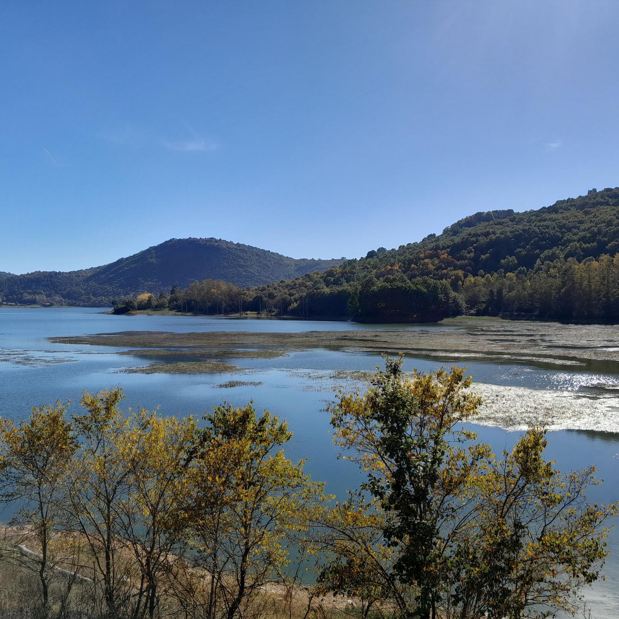
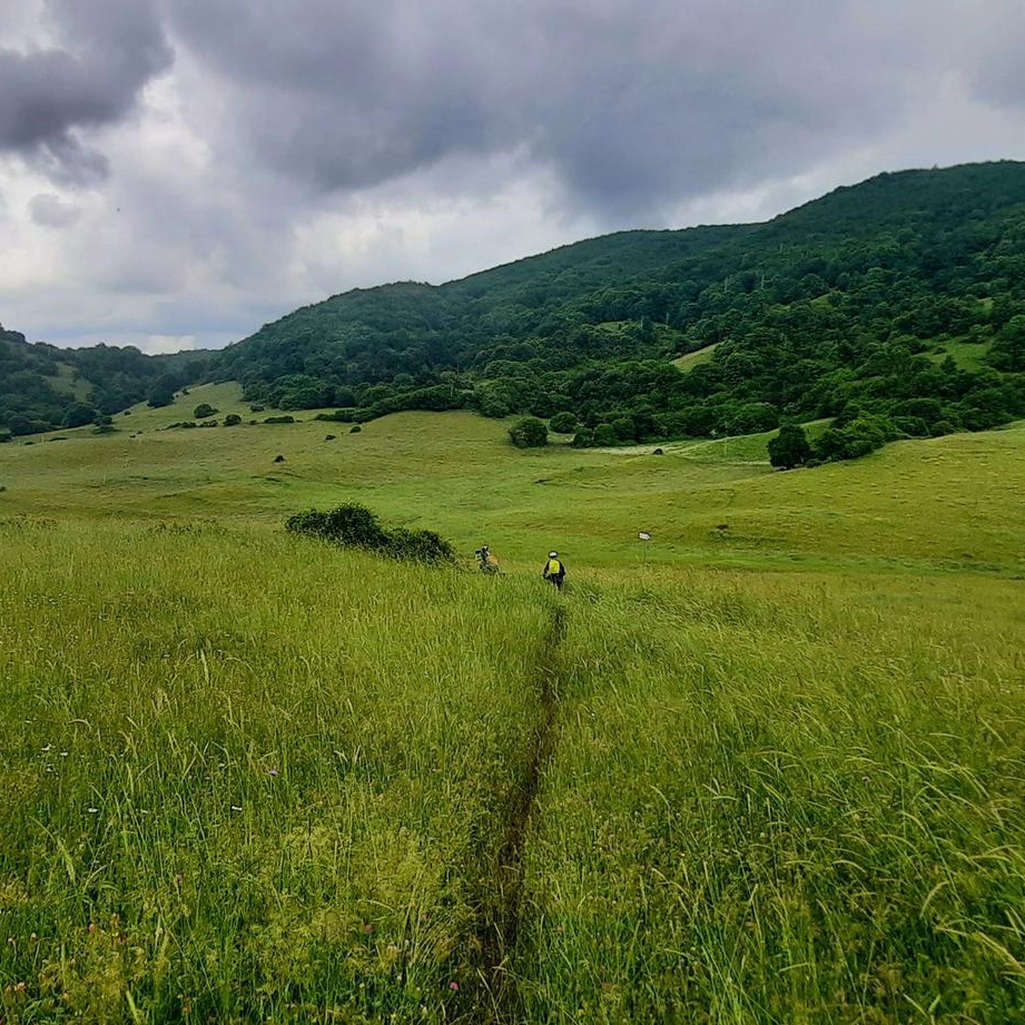
Hiking around Guarcino offers diverse natural landscapes within the Ernici Mountains of Italy's Lazio region. The area is characterized by lush forests, rolling ridges, and peaks that reach over 2000 meters, with the town itself situated at 625 meters above sea level. Notable features include the Campocatino plateau at approximately 1800 meters, which provides panoramic views, and numerous springs like Capo Cosa and Caporelle feeding the Cosa River. The terrain varies from hilly landscapes to ancient sites and agricultural lands.
Best hiking trails around Guarcino
- The most popular hiking route is Frassati Trail - Stage 2, a 7.6 miles (12.2 km) trail that takes 4 hours 9 minutes to complete. This moderate route traverses varied terrain, offering a comprehensive experience of the region's natural beauty.
- Another top favourite among local hikers is Sentiero Italia - Stage O04, a moderate 8.7 miles (13.9 km) path. This section of the national trail provides expansive views and passes through the characteristic landscapes of the Ernici Mountains.
- Local hikers also love the Campocatino – Campocatino loop from Campocatino, a 6.4 miles (10.2 km) trail leading through the high-altitude Campocatino plateau, often completed in about 3 hours 4 minutes.
- Hiking around Guarcino is defined by mountainous terrain, lush forests, and high-altitude plateaus. The network offers options for different ability levels, from moderate walks to more challenging ascents.
- The routes in Guarcino are highly rated by the komoot community with an average score of 4.6 stars from over 380 reviews. More than 1700 hikers have used komoot to explore Guarcino's varied terrain.
Last updated: July 7, 2026
4.3
(23)
77
hikers
12.1km
04:10
620m
620m
Moderate hike. Good fitness required. Mostly accessible paths. Sure-footedness required.
4.8
(25)
127
hikers
13.9km
04:08
410m
410m
Moderate hike. Good fitness required. Easily-accessible paths. Suitable for all skill levels.

Sign up for free
4.8
(9)
55
hikers
10.2km
03:04
320m
320m
Moderate hike. Good fitness required. Easily-accessible paths. Suitable for all skill levels.
4.6
(25)
141
hikers
Moderate hike. Good fitness required. Mostly accessible paths. Sure-footedness required.
5.0
(3)
19
hikers
15.1km
05:06
710m
720m
Hard hike. Very good fitness required. Easily-accessible paths. Suitable for all skill levels.
Get access to more routes and recommendations from other explorers.
Sign up for free
Already have an account?
Our route recommendations are based on thousands of hikes, rides, and runs completed by other people on komoot.
Start today with a free account
Your next adventure awaits.
Login or Signup

Tips from the Community

They say it's drinkable but I would never drink it anyway.
0
0

Monte La Monna, a beautiful surprise with a breathtaking view
0
0

Campocatino transforms into an amazing ski and winter sports area during the winter. It offers a great view of the central Apennine mountains and lots of places to rent equipment and buy local food at accessible prices.
0
0

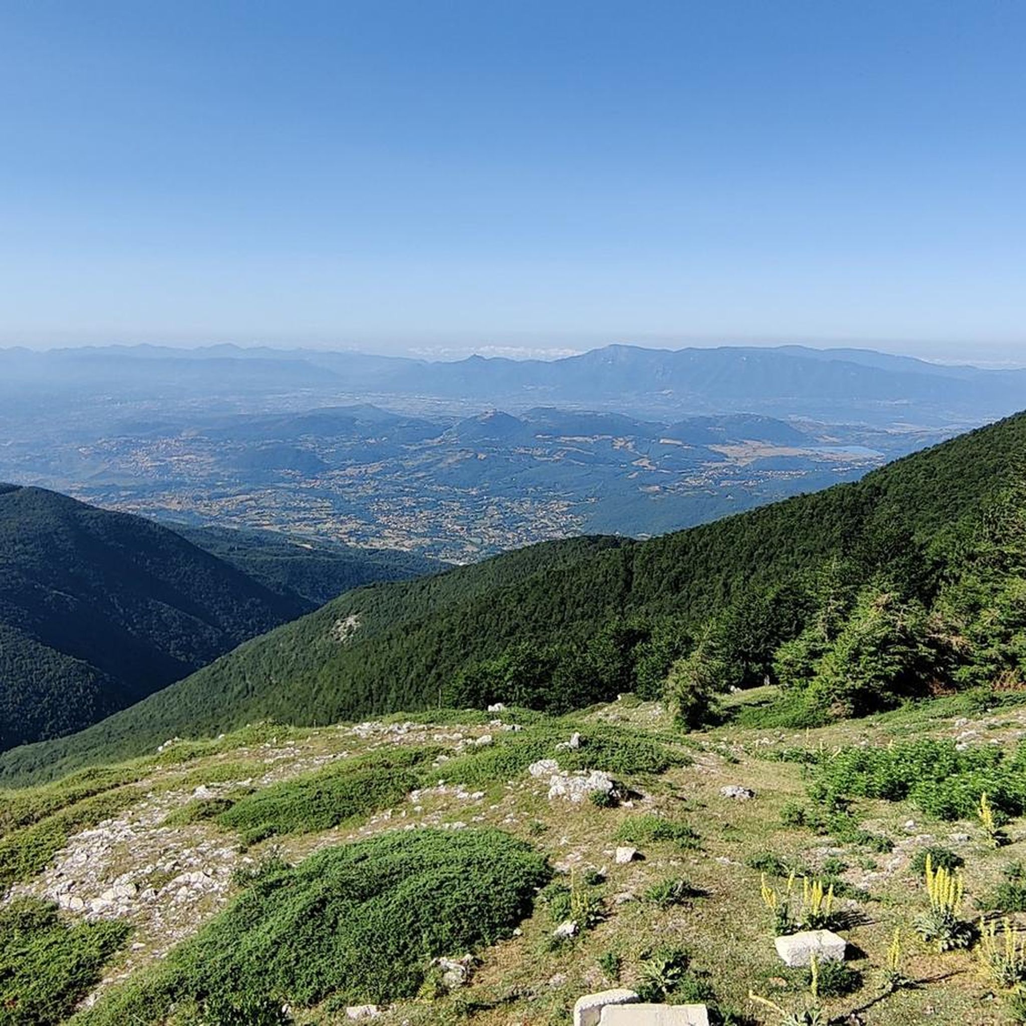
Once you reach the "peschio delle cornacchie" peaks, you can enjoy a wonderful 360° view! If you arrive at Mount Monna when there is snow, equip yourself with crampons or snowshoes, given that the path hidden by the snow remains a bit difficult!
0
0
Once you reach the first peak "peschio delle cornacchie" you have a 360° view that is worth it!
0
0

Barren landscape, I advise against making the excursion in hot periods.
0
0


Monte Monna is one of the major peaks of the Ernici Mountains, with a height of 1952 m. In the local dialect it is called "monnata" in reference to the peeling of fruit.
1
0
Frequently Asked Questions
What kind of terrain can I expect when hiking around Guarcino?
Hiking around Guarcino offers a diverse range of terrain within the Ernici Mountains. You'll find lush forests, rolling ridges, and peaks reaching over 2000 meters. The area also features high-altitude plateaus like Campocatino, hilly landscapes, ancient sites, and agricultural lands with olive groves and vineyards, providing varied scenery for your walks.
Are there any easy hiking trails suitable for beginners or families?
Yes, Guarcino offers several easy hiking options. Out of the over 20 routes available, 6 are classified as easy. These trails are perfect for those looking for a more relaxed experience or for families hiking with children.
Where can I find panoramic viewpoints during my hike?
For breathtaking panoramic views, head to the Campocatino plateau, situated at approximately 1800 meters above sea level. From this elevated position, hikers can enjoy expansive vistas spanning the Southern Lazio region, all the way to the Tyrrhenian Sea and the Pontine Islands.
Are there any circular hiking routes in the Guarcino area?
Yes, there are several circular routes available. A popular option is the Campocatino – Campocatino loop from Campocatino, which is about 10.2 km long and takes around 3 hours to complete. Another moderate circular trail is the Pozzotello Spring – Monte Crepacuore Summit loop from Campocatino.
What are some natural features or attractions I can see on the trails?
The region is rich in natural beauty. You can encounter numerous springs, such as Capo Cosa and Caporelle, which feed the Cosa River. Fonte Filette is another prominent spring known for its low mineral waters. Nearby attractions include Trevi Waterfalls in Lazio and Lake Canterno.
Are there any challenging hikes for experienced trekkers?
Yes, for experienced trekkers seeking a challenge, Guarcino offers 7 difficult routes. One such demanding trail is the Monte Vermicano – Monte La Monna loop from Colle Pannunzio, which covers over 15 km with significant elevation gain.
What do other hikers say about the trails in Guarcino?
The routes in Guarcino are highly rated by the komoot community, with an average score of 4.7 stars from over 380 reviews. Hikers often praise the diverse landscapes, from lush forests to high-altitude plateaus, and the well-maintained trails that offer options for various ability levels.
Is there a specific trail that connects Guarcino to the Campocatino plateau?
Yes, there is a specific 18 km paved path that connects Guarcino directly to Campocatino. This route features an impressive 1124 meters of vertical ascent, making it a popular choice for hiking as well as various forms of cycling.
Are there any historical or cultural points of interest near the hiking areas?
Guarcino itself is located on the historic St. Benedict's Way, indicating well-established routes with historical significance. Additionally, you can visit the Fiuggi Historic Center and Bonifacio VIII Spring, which is a notable historical site in the vicinity.
What is the best way to get to Guarcino for hiking?
Guarcino is nestled in the Ernici Mountains of Italy's Lazio region. While specific public transport details for trailheads vary, the town itself is accessible. For detailed information on reaching Guarcino, you might find useful resources on the local tourism website: visitlazio.com.
Can I find any long-distance trails passing through Guarcino?
Yes, Guarcino is part of significant long-distance routes. The town is located on the historic St. Benedict's Way. Additionally, a section of the national Sentiero Italia - Stage O04 passes through the area, offering expansive views and characteristic landscapes of the Ernici Mountains.
Most popular attractions around Guarcino

Get inspired with the komoot mobile app


Explore more
Browse the best Hikes in other regions.
