The best MTB trails around Schillingsfürst
4.6
(451)
1,598
riders
252
rides
Mountain biking around Schillingsfürst offers varied terrain within the Frankenhöhe nature park. The region is characterized by its forested hills and proximity to the Tauber River, providing diverse natural features for routes. Situated at an elevation of 550 meters, it marks a high point on the European watershed, contributing to its varied topography. This area provides a network of trails suitable for different skill levels, from easy paths to more challenging routes with significant elevation gains.
Best mountain bike trails…
Last updated: September 29, 2026
4.5
(4)
20
riders
37.1km
02:49
440m
440m
Moderate mountain bike ride. Good fitness required. Advanced riding skills necessary.
4.8
(13)
15
riders
Moderate mountain bike ride. Good fitness required. Suitable for all skill levels.

4.8
(4)
12
riders
Easy mountain bike ride. Great for any fitness level. Suitable for all skill levels.
5.0
(5)
16
riders
48.4km
03:01
450m
450m
Moderate mountain bike ride. Good fitness required. Suitable for all skill levels.
5.0
(4)
8
riders
49.3km
04:09
660m
660m
Moderate mountain bike ride. Good fitness required. Advanced riding skills necessary.
Get access to more routes and recommendations from other explorers.
Already have an account?
Our route recommendations are based on thousands of hikes, rides, and runs completed by other people on komoot.
Start today with a free account
Your next adventure awaits.
Popular around Schillingsfürst

The Romantic Road – To the Pearls of Southern Germany
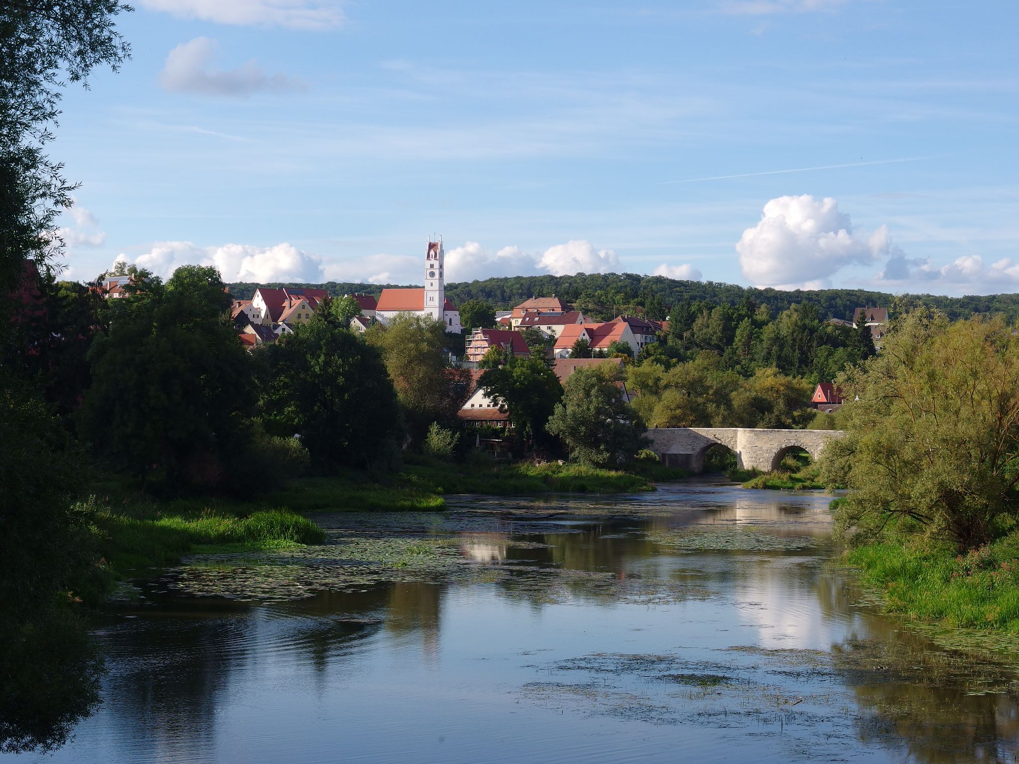
The Romantic Road – 10 fabulous stages
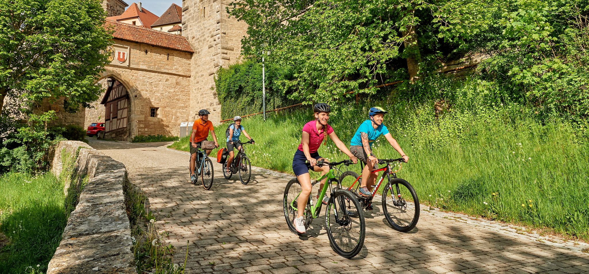
Cycling in Romantic Franconia – beautiful landscapes & local food
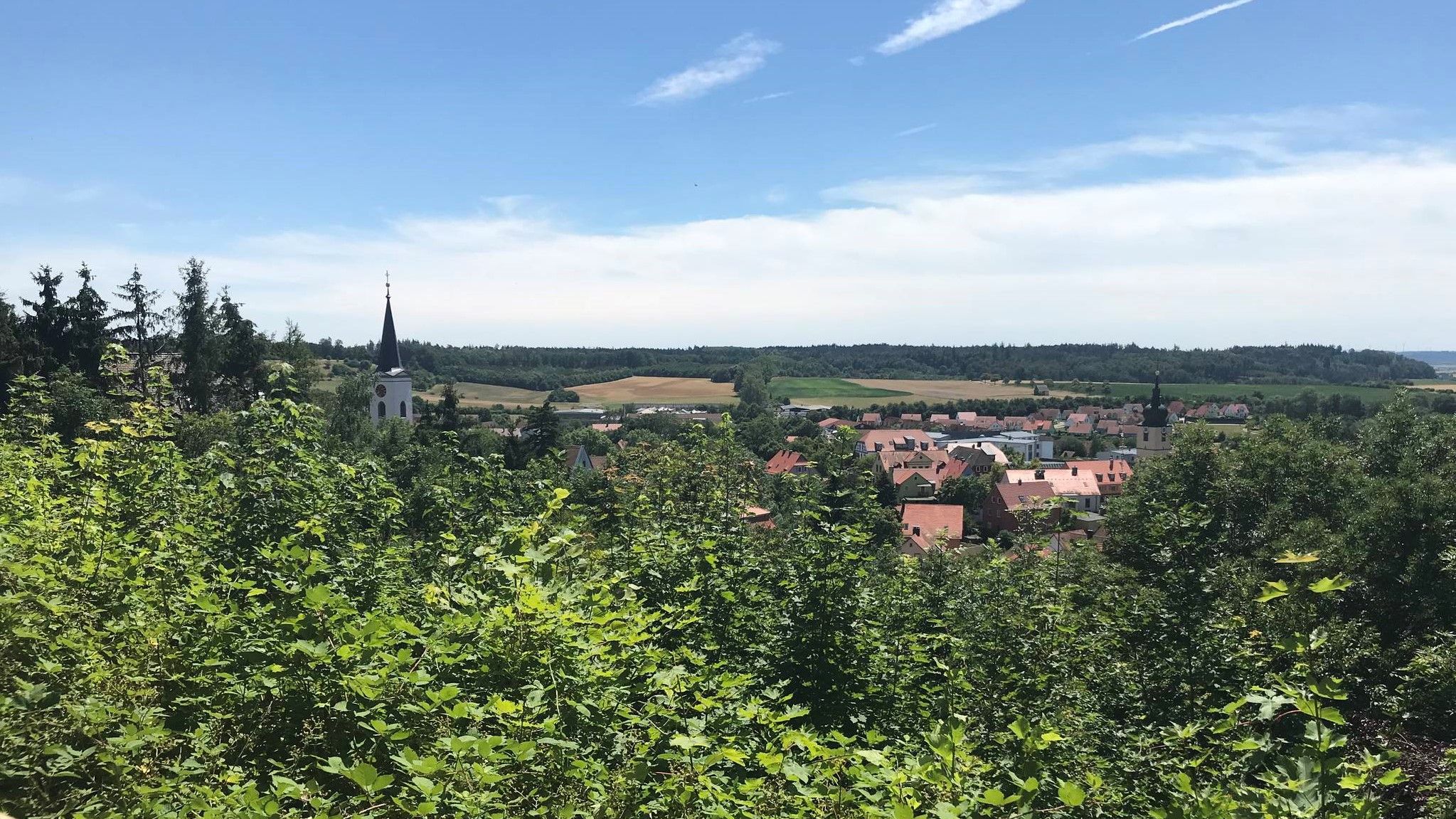
Hike through Franconia in Germany – European Watershed Trail
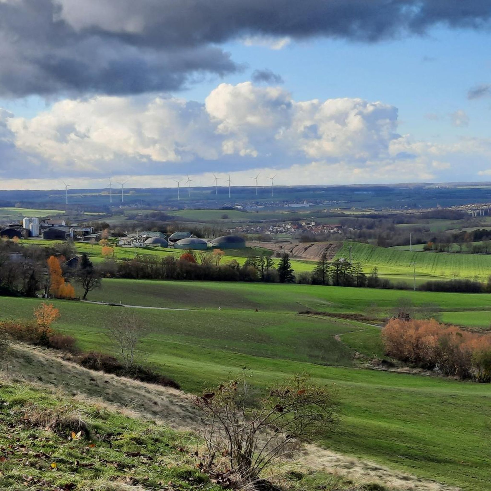
Cycling around Schillingsfürst
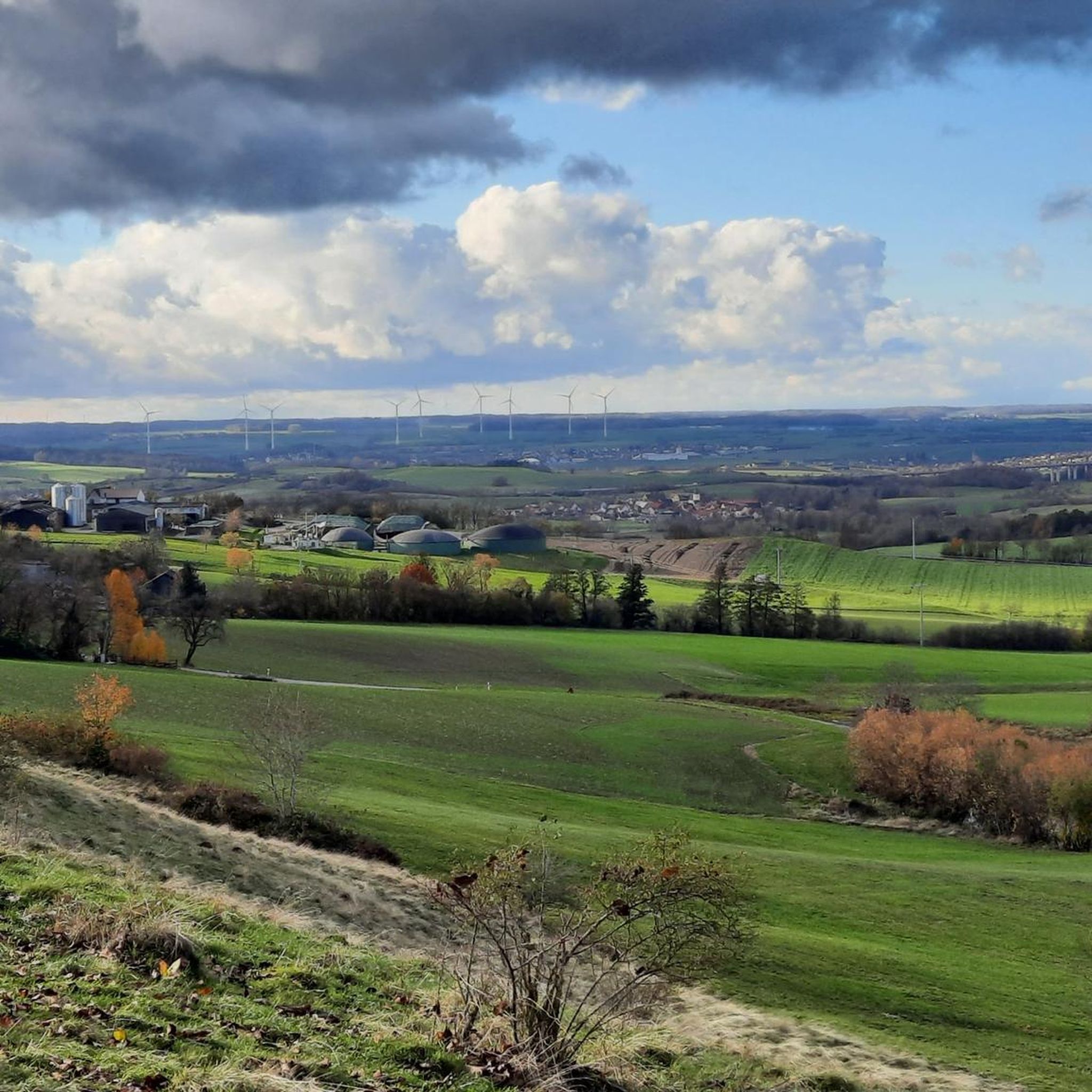
Hiking around Schillingsfürst

Gravel biking around Schillingsfürst
Road Cycling Routes around Schillingsfürst
Running Trails around Schillingsfürst
Other adventures around Schillingsfürst


Tips from the Community

An extraordinary weekend cottage that has stood here since 1388 :-)
0
0

From here you have a beautiful view of the historic city and city wall. It's worth it, even if you just drive by below.
1
0

The Bottomless Hole is a summit karst spring
0
0

Exciting legend🧜 💦 In sunshine, you can see to the bottom along the edges of the "Bottomless Hole" and observe the water plants and small fish 🐟. Only approx. 100m from the cycle path that leads to Rothenburg, and therefore a clear recommendation for everyone who hikes 🥾 or cycles 🚵🏽♀️🙃 nearby.
0
0

Beautiful view of the historic old town.
1
0

Breathtakingly beautiful, medieval old town including battlements, accessible for several kilometers
8
0

Easily rideable, flat section between Sengelhof and Kühberger Golf Course or a little further to Dragonergrund;
0
0
Frequently Asked Questions
How many mountain bike trails are available around Schillingsfürst, and what are their difficulty levels?
There are over 270 mountain bike trails around Schillingsfürst, offering a diverse network for all skill levels. Approximately 80 are considered easy, over 180 are moderate, and a few are difficult, ensuring options for beginners to experienced riders.
What kind of terrain and elevation changes can I expect on mountain bike trails in Schillingsfürst?
The terrain around Schillingsfürst, situated at 550 meters above sea level within the Frankenhöhe nature park, features varied topography. You can expect a mix of forested hills, river valleys, and some unpaved segments. Trails range from easy paths with gentle inclines to more challenging routes with significant elevation gains, reflecting its position on the European watershed.
Are there family-friendly mountain bike trails suitable for all ages in Schillingsfürst?
Yes, Schillingsfürst offers many family-friendly mountain bike trails. With over 80 easy routes, there are plenty of options that feature gentler gradients and less technical terrain, making them suitable for families and those looking for a more relaxed ride. These often include paved paths through scenic areas.
Can I bring my dog on the mountain bike trails in Schillingsfürst?
While many trails in the Frankenhöhe nature park are generally accessible, it's always recommended to keep dogs on a leash, especially in nature reserves or areas with wildlife. Check local signage for specific regulations on individual trails to ensure a pleasant experience for everyone.
What are some notable natural features or viewpoints I can see along the mountain bike routes?
The routes often lead through picturesque forests and hills, offering wonderful views of Franconia and the Wörnitz Valley. You can also encounter the idyllic Tauber River. Specific highlights include the Steinbachtal Valley, the Tauber Valley, and the Saubachtal Nature Trail. Many routes also pass by beautiful lakes such as Lindleinsee.
Are there any circular mountain bike routes available in Schillingsfürst?
Yes, many mountain bike routes in Schillingsfürst are designed as circular loops. For example, the Covered Bridge over the Tauber – Bodenloses Loch loop from Schillingsfürst is a popular moderate circular trail. Another option is the Lauterbacher Lake – Dragonergrund Viewpoint (Kühberg Nature Reserve) loop from Schillingsfürst, which is an easy circular route.
What are some longer mountain bike routes for experienced riders?
For those seeking longer rides, the region offers several options. The Bodenloses Loch – View of the Topplerschlösschen loop from Unteroestheim is a moderate 47.9 km trail. Another substantial route is the Tauber River – Little Lindlein Lake loop from Gastenfelden, covering nearly 50 km with significant elevation changes.
What do other mountain bikers enjoy the most about mountain biking in Schillingsfürst?
The area is highly rated by the komoot community, with an average score of 4.6 stars from over 390 reviews. Reviewers often praise the varied terrain, the scenic forested hills, and the well-maintained network of trails that cater to different ability levels within the beautiful Frankenhöhe nature park.
Are there any cultural attractions or landmarks near the mountain bike trails?
Absolutely. Schillingsfürst is home to the prominent Baroque Castle Hohenlohe-Schillingsfürst, visible from afar and offering historical insights. You can also find the Wilhelminian-style Water Tower, the Ludwig Doerfler Museum, and the Stuppler Monument in the town center. Many trails pass close to these points of interest, allowing for cultural stops during your ride.
Are there options for e-bike users, such as charging stations?
Yes, the region around Schillingsfürst is accommodating for e-bike users. E-bike charging stations are available in the area, catering to a wider range of cyclists and allowing for longer rides without range anxiety.
What is a good moderate mountain bike trail that offers scenic views?
The Tauber River – View of the Topplerschlösschen loop from Schafhutungen um Kirnberg is a great moderate option. This 28.8 km trail offers beautiful views of the Tauber River valley and passes by historical points of interest, making it a favorite among local mountain bikers.
Most popular routes around Schillingsfürst
Most popular attractions around Schillingsfürst

Get inspired with the komoot mobile app


Explore more
Browse the best MTB trails in other regions.
