The best walks and hikes around Schillingsfürst
4.3
(144)
669
hikers
88
hikes
Hiking around Schillingsfürst offers a network of trails through the region's varied landscape. The area is characterized by rolling hills, dense woodlands, and open fields, providing diverse scenery for outdoor activities. Many routes incorporate local landmarks and natural features, making for engaging walks. The terrain generally features moderate elevation changes, suitable for a range of hiking abilities.
Best hiking trails around Schillingsfürst
- The most popular hiking route is Trail to Schillingfürst – Schillingsfürst Water Tower loop from Schillingsfürst, a 5.6 miles (9.0 km) trail that takes 2 hours 27 minutes to complete. This moderate circular route explores the local area, including the Schillingsfürst Water Tower.
- Another top favourite among local hikers is Villa Roth Town Hall – Path Above Dragonergrund loop from Schillingsfürst, an easy 3.7 miles (5.9 km) path. This route offers scenic views along the Path Above Dragonergrund, starting from Villa Roth Town Hall.
- Local hikers also love the Villa Roth Town Hall – Schillingsfürst Water Tower loop from Schillingsfürst, a 4.8 miles (7.8 km) trail leading through local landmarks and woodlands, often completed in about 2 hours 3 minutes.
- Hiking around Schillingsfürst is defined by rolling hills, dense woodlands, and local landmarks like the Schillingsfürst Water Tower. The network offers options for easy, moderate, and challenging hikes, catering to different ability levels.
- The routes in Schillingsfürst are highly rated by the komoot community with an average score of 4.4 stars from over 100 reviews. More than 600 hikers have used komoot to explore Schillingsfürst's varied terrain.
Last updated: October 5, 2026
4.8
(13)
42
hikers
Moderate hike. Good fitness required. Easily-accessible paths. Suitable for all skill levels.
4.7
(3)
19
hikers
Easy hike. Great for any fitness level. Easily-accessible paths. Suitable for all skill levels.

4.7
(6)
34
hikers
Easy hike. Great for any fitness level. Easily-accessible paths. Suitable for all skill levels.
4.2
(9)
32
hikers
Moderate hike. Good fitness required. Easily-accessible paths. Suitable for all skill levels.
4.5
(15)
26
hikers
3.49km
00:56
40m
40m
Easy hike. Great for any fitness level. Easily-accessible paths. Suitable for all skill levels.
Get access to more routes and recommendations from other explorers.
Already have an account?
Our route recommendations are based on thousands of hikes, rides, and runs completed by other people on komoot.
Start today with a free account
Your next adventure awaits.
Popular around Schillingsfürst

The Romantic Road – To the Pearls of Southern Germany
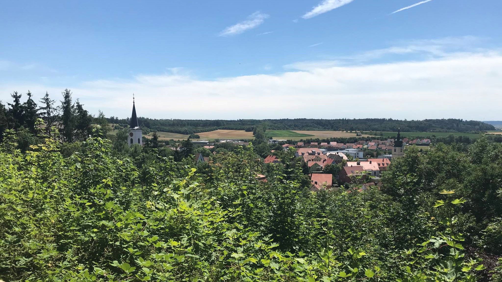
Hike through Franconia in Germany – European Watershed Trail
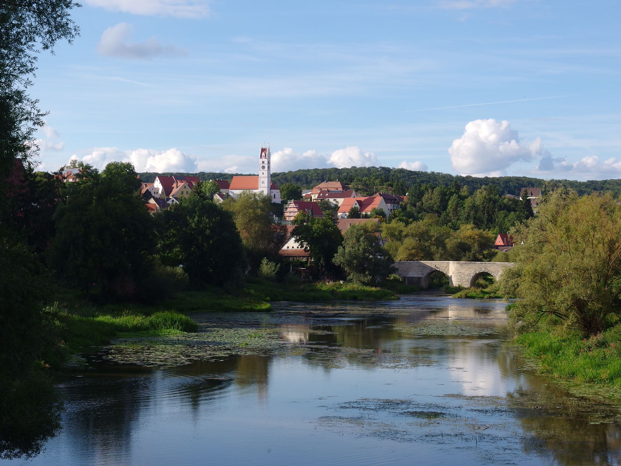
The Romantic Road – 10 fabulous stages
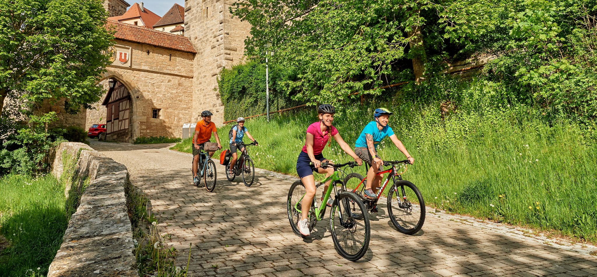
Cycling in Romantic Franconia – beautiful landscapes & local food
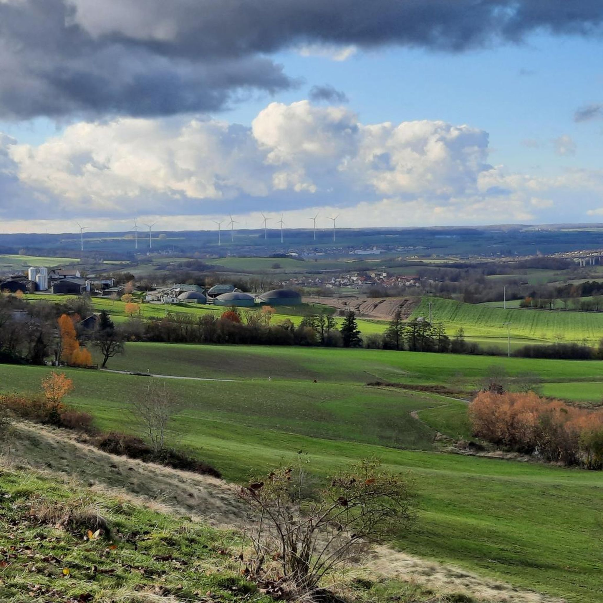
Cycling around Schillingsfürst
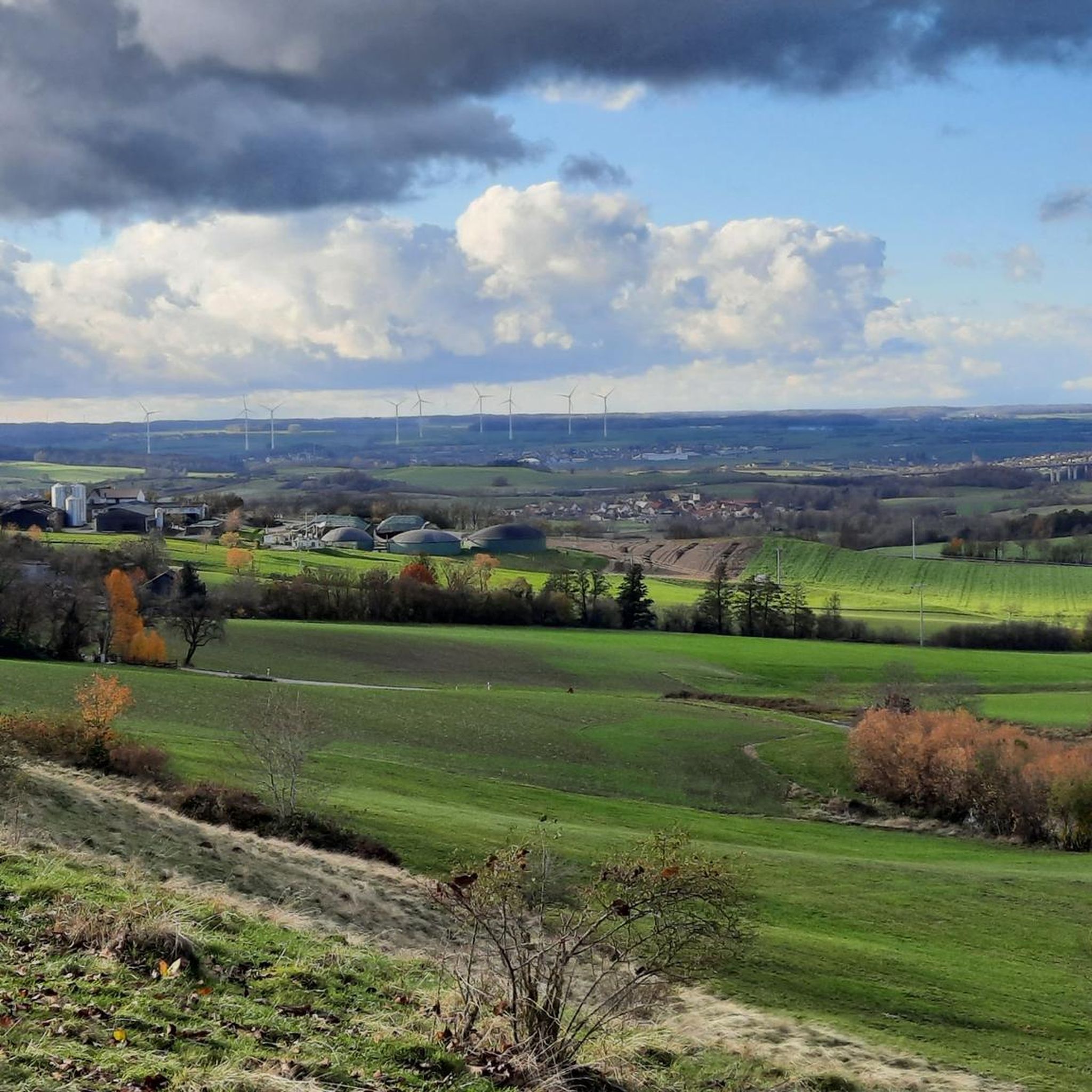
MTB Trails around Schillingsfürst

Gravel biking around Schillingsfürst
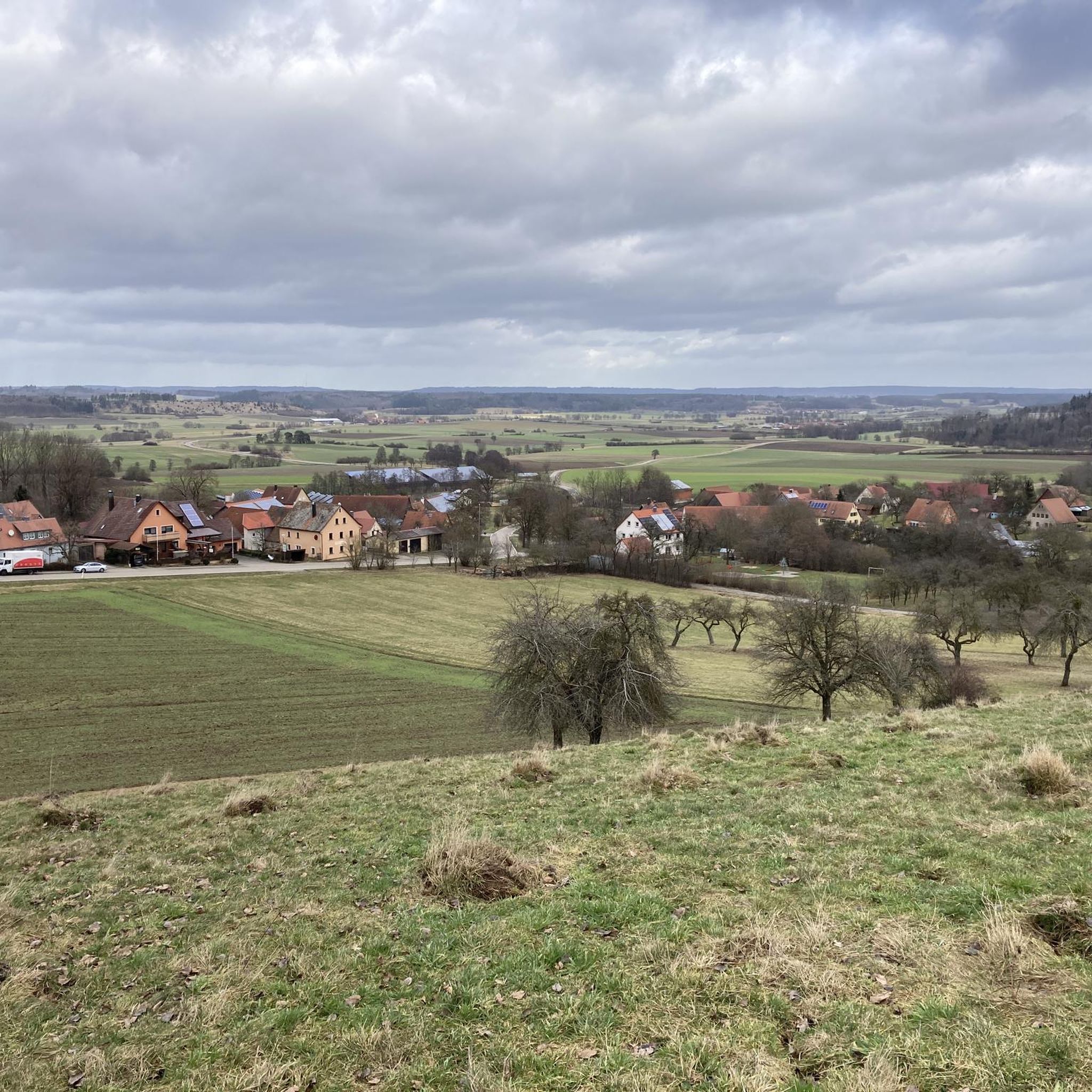
Road Cycling Routes around Schillingsfürst
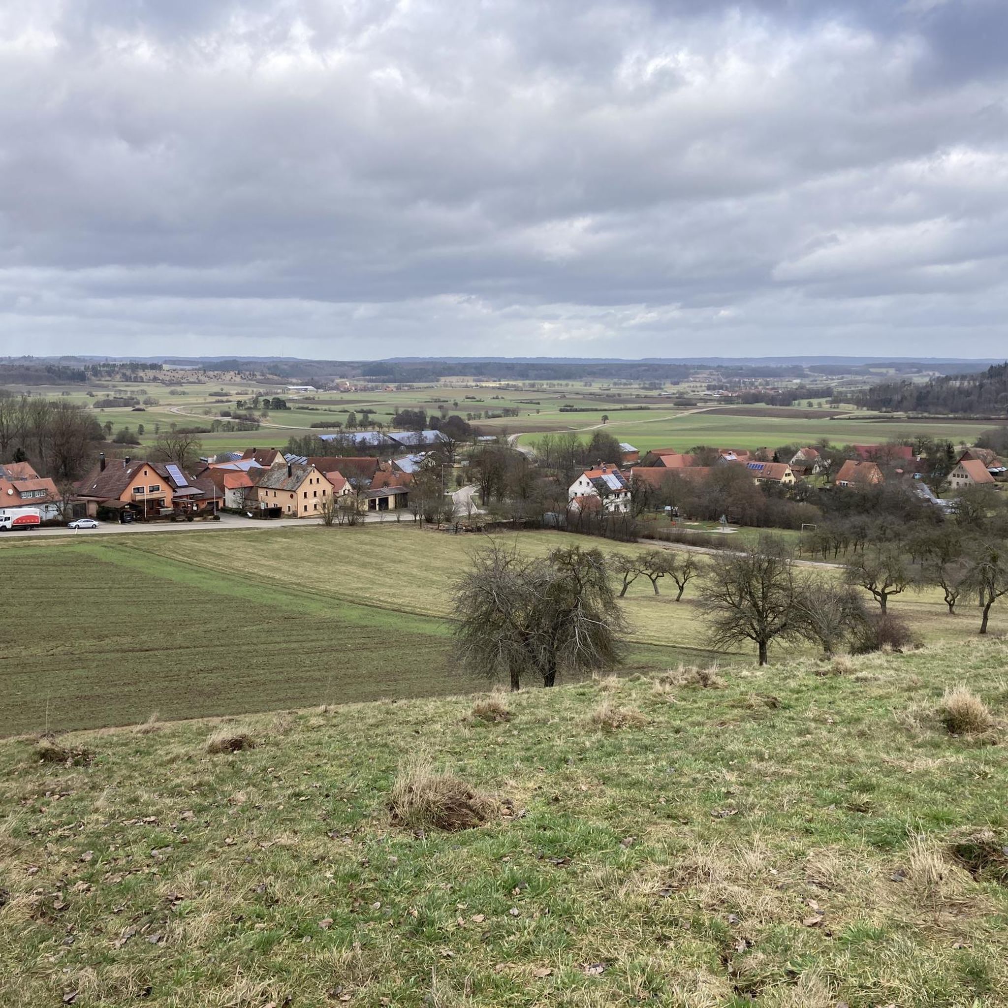
Running Trails around Schillingsfürst
Other adventures around Schillingsfürst


Tips from the Community


The path through the gorge to Magdalenenbrünnlein is actually a hiking trail. Therefore, please show due consideration for hikers!
0
0
The Magdalenenbrünnle is located in a gorge near the village of Wohnbach. The outflow of the Magdalenenbrünnle flows into the Wohnbach. It is easily accessible on foot via a signposted footpath. The starting point is a small rest area with a seating group (follow the path to the left for approx. 350 m) at the eastern end of the Schafhof district of Schillingsfürst (direction Stilzendorf). Good local knowledge is required to reach it by bike.
0
0

Two-story hipped-roof buildings with corner pilasters, cornices, and window and door frames made of quarry stone, 17th/18th century.
1
0
Hall church in the type of a margrave church with an east tower divided by cornices and a high spire, according to plans by Johann Dietrich Carl Spindler, 1823
1
0

Beautiful natural swimming lake directly on the new Schillingsfürst-Dombühl bike path. Free admission, changing rooms and restrooms available. Wonderfully soft water for those who enjoy chlorine-free swimming. Open from Whitsun to mid-September with temperatures from 20 degrees Celsius. There's also a small kiosk, run voluntarily by members of the Fischhausbad Friends Association.
0
0
Beautiful natural swimming lake Open from Pentecost to mid-September with temperatures above 20 degrees Celsius. Directly on the new bike path from Schillingsfürst to Dombühl and just 100 meters from the year-round campsite. Pleasant spot - new trees will replace the felled ones for more shade. Changing rooms and restrooms available!
0
0

From Easter onwards, coffee and cake will be available in the Brunnenhaus on Sundays
0
0
Frequently Asked Questions
How many hiking trails are available around Schillingsfürst?
There are over 90 hiking routes available around Schillingsfürst, offering a wide variety of options for different skill levels and preferences. The komoot community has explored these trails over 600 times.
Are there easy hiking trails suitable for beginners or casual walkers?
Yes, Schillingsfürst offers many easy trails. Over 55 of the routes are rated as easy. A good option is the Villa Roth Town Hall – Path Above Dragonergrund loop from Schillingsfürst, an easy 3.7-mile (5.9 km) path with scenic views.
What kind of terrain can I expect on hikes around Schillingsfürst?
The terrain around Schillingsfürst is characterized by rolling hills, dense woodlands, and open fields. You can expect moderate elevation changes, making it suitable for a range of hiking abilities. Many routes incorporate local landmarks and natural features.
Can I find circular hiking routes near Schillingsfürst?
Yes, many of the trails around Schillingsfürst are circular, allowing you to start and end at the same point. For example, the Bildereiche – Schillingsfürst Water Tower loop from Schillingsfürst is an easy 3.8-mile (6.1 km) circular route.
Are the hiking trails around Schillingsfürst family-friendly?
Absolutely. The region's generally moderate terrain and numerous easy routes make it ideal for families. Many trails pass through woodlands and open areas, providing a pleasant experience for all ages. Consider shorter, well-maintained paths for younger children.
Are dogs allowed on the hiking trails in Schillingsfürst?
Most hiking trails in the Schillingsfürst area are dog-friendly, especially those through forests and open fields. It's always recommended to keep your dog on a leash, especially near wildlife or in agricultural areas, and to carry water for them.
What are some interesting landmarks or attractions to see while hiking?
While hiking, you can discover various points of interest. The Tauber River and the Steinbachtal Valley offer natural beauty. For historical sights, the nearby Rothenburg ob der Tauber Market Square and the iconic Plönlein Ensemble are popular attractions.
What is the best time of year to go hiking in Schillingsfürst?
Spring and autumn are generally the best times for hiking in Schillingsfürst, offering pleasant temperatures and beautiful scenery with blooming flowers or vibrant fall foliage. Summer is also enjoyable, though it can be warmer, while winter offers a different, quieter experience, especially on cleared paths.
Are there options for winter hiking in Schillingsfürst?
Yes, winter hiking is possible, especially on trails that are regularly cleared or less prone to heavy snow. The quiet, snow-covered woodlands offer a serene atmosphere. Always check local conditions and wear appropriate gear for colder weather.
Where can I find parking for hiking trails in Schillingsfürst?
Parking is generally available at various trailheads and in the town center of Schillingsfürst. Many routes start near public parking areas or designated hiking car parks. It's advisable to check the specific starting point of your chosen route for the most convenient parking options.
What do other hikers say about the trails in Schillingsfürst?
The trails in Schillingsfürst are highly rated by the komoot community, with an average score of 4.4 stars from over 100 reviews. Hikers often praise the well-maintained paths, the diverse scenery of woodlands and open fields, and the peaceful atmosphere of the region.
Are there any hikes that pass by a pub or restaurant for a refreshment stop?
While specific routes passing directly by pubs aren't detailed in the data, many trails in the region are designed to connect with local villages or towns. Schillingsfürst itself offers dining options, and it's common for hikers to plan routes that conclude near a local Gasthof for refreshments.
Most popular routes around Schillingsfürst
Most popular attractions around Schillingsfürst

Get inspired with the komoot mobile app


Explore more
Browse the best Hikes in other regions.
