The best road cycling routes around S-chanf
4.2
(190)
17,028
riders
38
rides
Road cycling routes around S-chanf are characterized by high alpine passes, glacial lakes, and wide valleys within the Engadin region. The terrain primarily features significant elevation gains and descents, typical of mountain road cycling, with routes often traversing through scenic landscapes and past traditional villages. This area provides a challenging environment for road cyclists, with sustained climbs and long descents.
Best road cycling routes around S-chanf
- The most popular road cycling route is Lake Livigno – Bernina Pass loop from Cinuos-chel-Brail, a 76.7 miles (123.5 km) trail that takes 6 hours 10 minutes to complete. This difficult route features significant climbs over the Bernina Pass and views of Lake Livigno.
- Another top favourite among local road cyclists is Bernina Pass – View of the Bernina Pass loop from Livigno, a difficult 41.9 miles (67.5 km) path. This route offers panoramic views from the Bernina Pass and traverses high mountain scenery.
- Local road cyclists also love the Silvaplana Market Square – Maloja Pass loop from La Punt Chamues-ch, a 75.1 miles (120.8 km) trail leading through the Maloja Pass and past alpine lakes, often completed in about 6 hours 1 minute.
- Road cycling around S-chanf is defined by challenging mountain passes, alpine lakes, and high-altitude valleys. The network offers options for difficult routes, with some moderate and easy road bike trails S-chanf also available.
- The routes in S-chanf are highly rated by the komoot community with an average score of 4.5 stars from over 160 reviews. More than 18,000 road cyclists have used komoot to explore S-chanf's varied terrain.
Last updated: September 29, 2026
4.7
(39)
4,054
riders
132km
06:29
1,980m
1,980m
Hard road ride. Very good fitness required. Mostly well-paved surfaces and easy to ride.
4.8
(4)
880
riders
67.4km
03:47
1,480m
1,480m
Hard road ride. Very good fitness required. Mostly well-paved surfaces and easy to ride.

5.0
(8)
572
riders
53.3km
02:45
900m
900m
Hard road ride. Very good fitness required. Mostly well-paved surfaces and easy to ride.
4.8
(8)
402
riders
98.2km
04:55
1,510m
1,510m
Hard road ride. Very good fitness required. Some segments of this route may be unpaved and difficult to ride.
4.1
(7)
236
riders
39.5km
01:50
400m
400m
Moderate road ride. Good fitness required. Mostly well-paved surfaces and easy to ride.
Get access to more routes and recommendations from other explorers.
Already have an account?
Our route recommendations are based on thousands of hikes, rides, and runs completed by other people on komoot.
Start today with a free account
Your next adventure awaits.
Popular around S-chanf
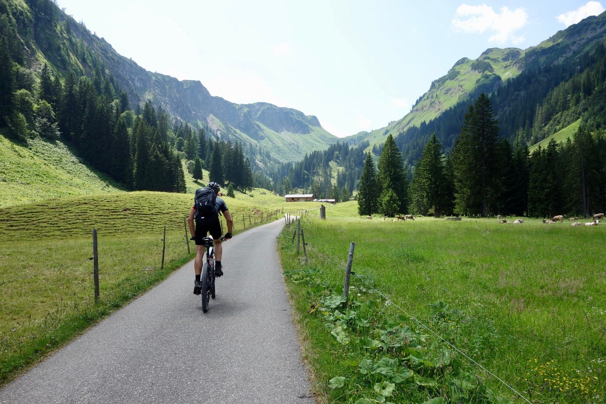
Heckmair Transalp – the original Alpine Crossing
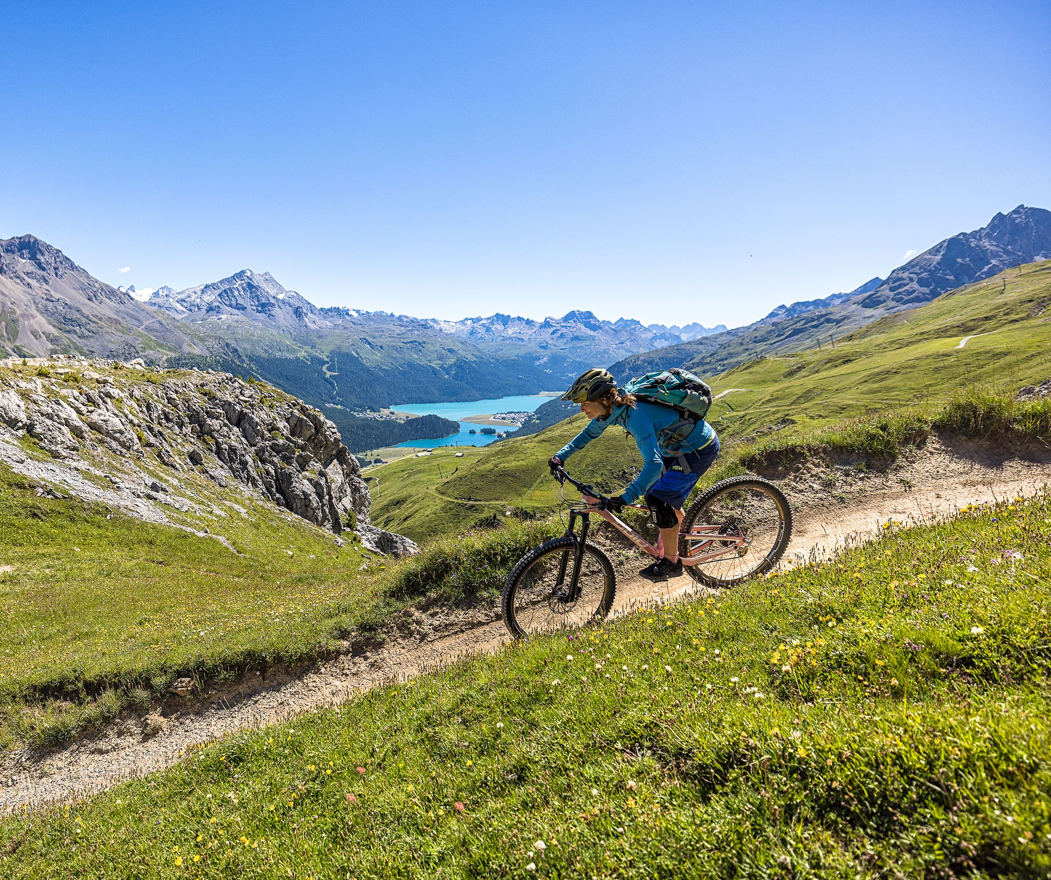
Trails with spectacular alpine panoramas – Engadin MTB region

On ancient paths towards Santiago — the Way of St. James Graubünden
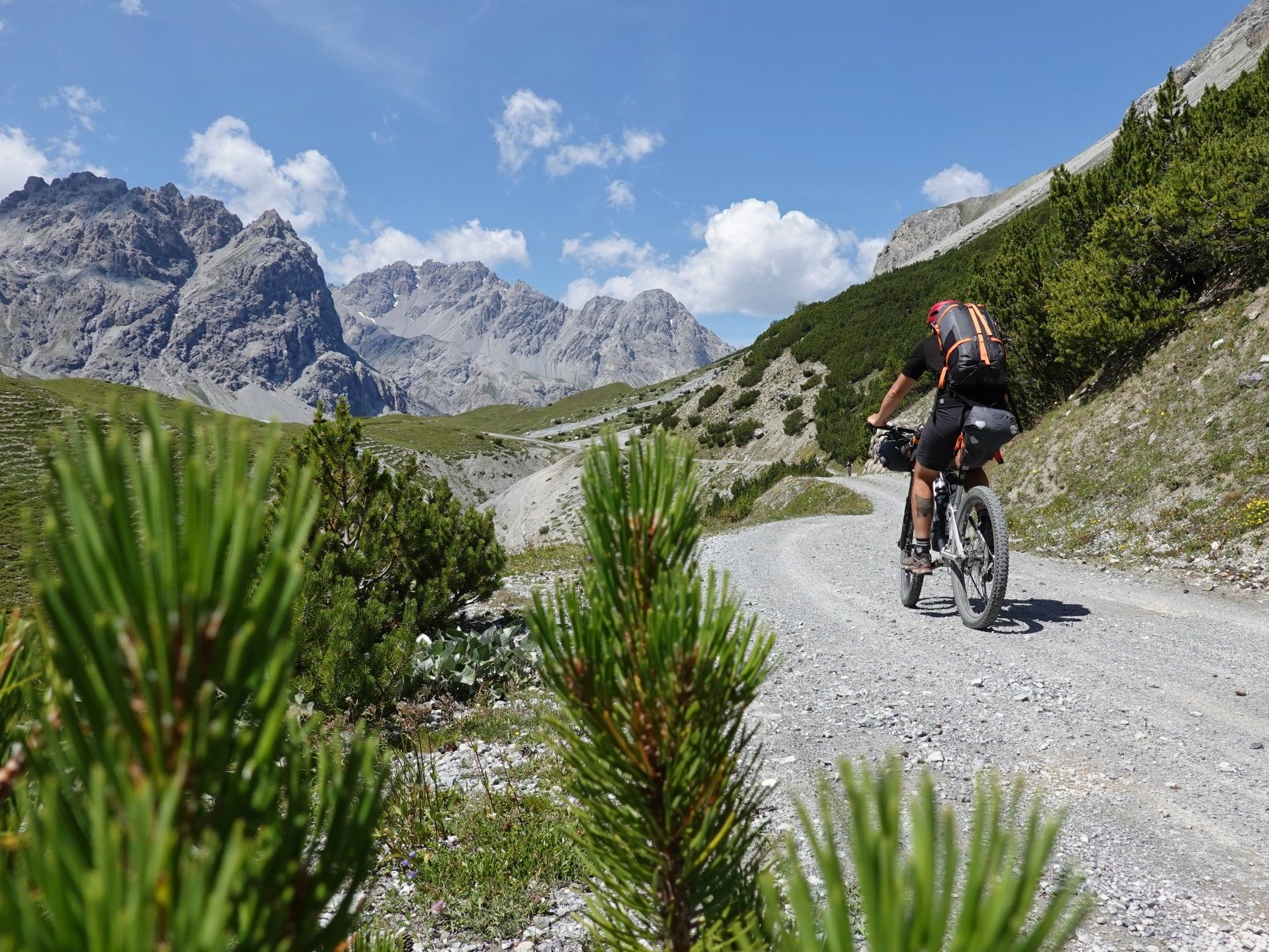
Bikepacking with marmots — explore the Swiss National Park
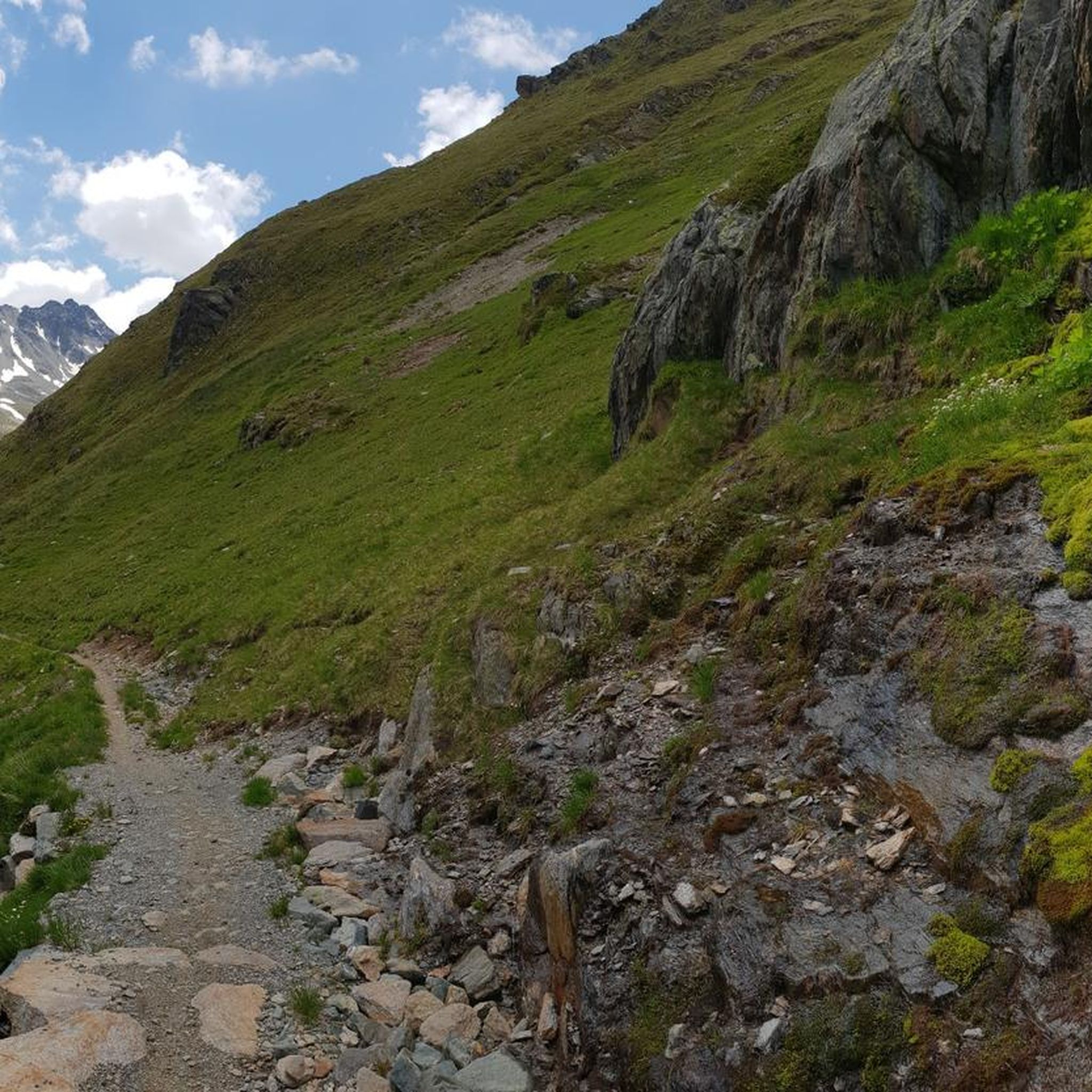
Hiking around S-chanf
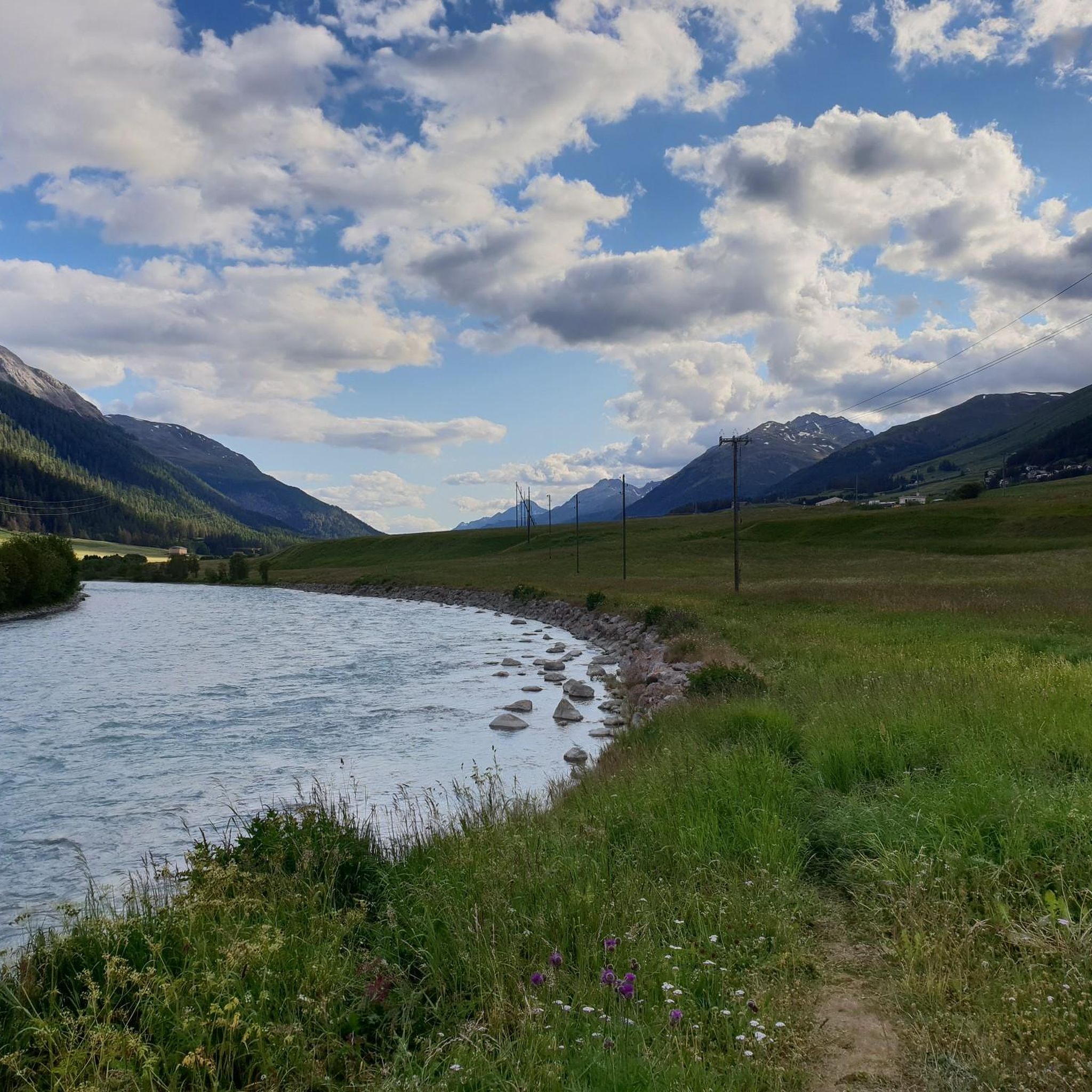
MTB Trails around S-chanf
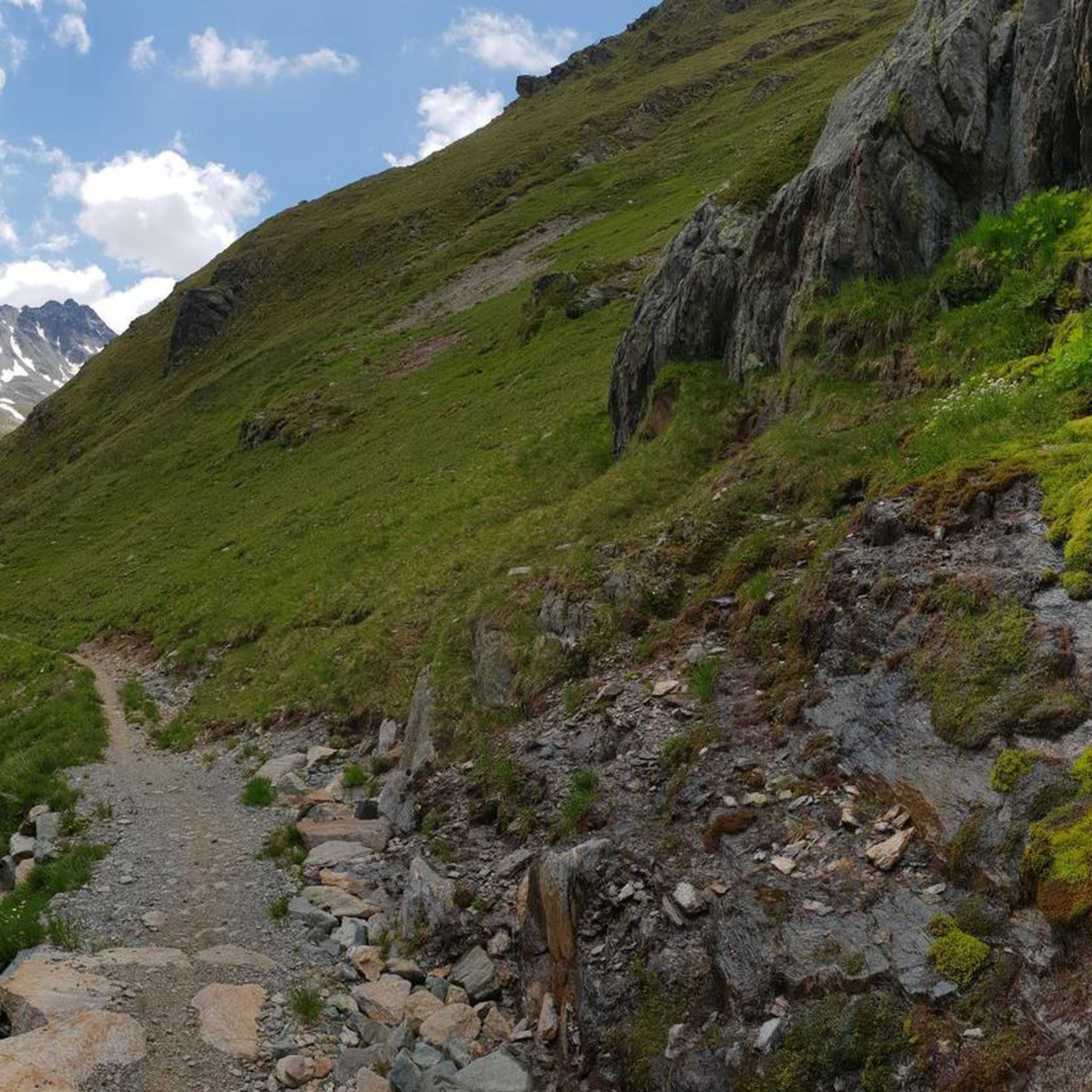
Cycling around S-chanf
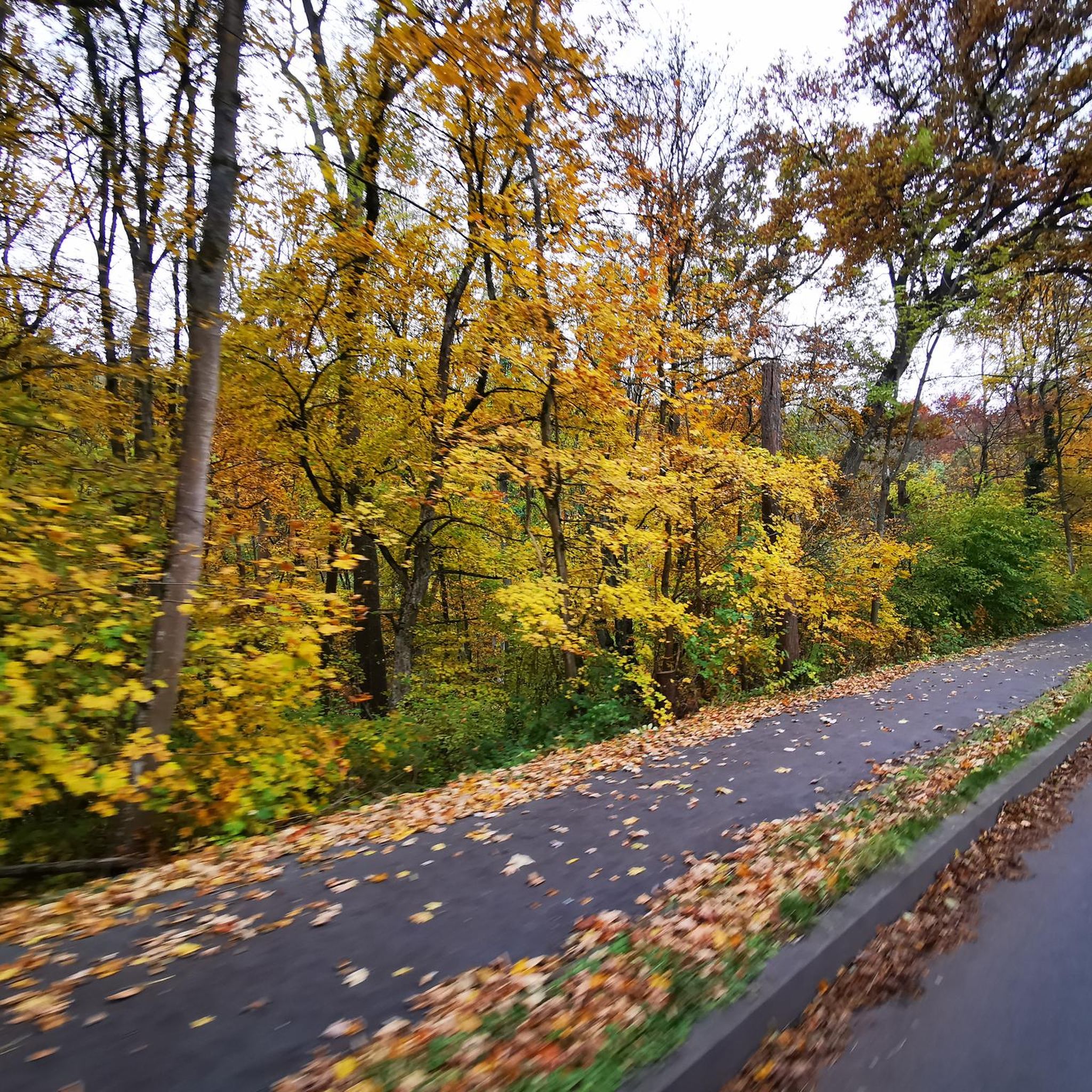
Gravel biking around S-chanf
Mountain Hikes around S-chanf
Running Trails around S-chanf
Other adventures around S-chanf


Tips from the Community

It's worth riding the trail....it's fun
0
0

Morteratsch glacier reached its greatest extent in 1857 AD (after the Little Ice Age 13th/14th century - 19th century) up to 100m from the RhB stop, since then a constant retreat. However, as a tree find from 2018 (C4 + Dendrochronology) of a 10400 year old larch shows, that the glacier after the last ice age, (Pleistocene 20000-14000) at the beginning of the Holocene approx. 10000 years ago, the glacier retreated even further than today. Minimum was around 7000 years ago. Then the glacier grew again until max. 1857. The beginning of measurements was from 1915, since then it has continuously retreated. (around 20000 years ago it had connection to the Bernina and Inn glaciers, around 14000 years ago it reached Pontresina and in 1857 almost to the Rhb Morteratsch stop.
0
0

From Morteratsch and from Montebello, the view towards the Bernina massif is excellent.
0
0
Both from the Morteratsch valley and from Montebello, you can enjoy a magnificent view of glaciers and the Bernina massif.
0
0

Wonderful place of rest, in spring with a partially frozen lake
1
0
Wonderful, quiet floodplain landscape, although close to the road
0
0

A short stop in La Punt is worthwhile. This is mainly due to the striking white house – the Chesa Merleda. This is a prominent example of Engadine architecture.
1
0

CONFISERIE HANSELMANN, A Sweet Paradise in St. Moritz Café Hanselmann is world-renowned for its exquisite cakes, chocolates, and pastries. The beautiful sgraffito facade dates back to 1912, while inside, guests are greeted by an elegant, nostalgic ambiance with artistic details. In addition to classic sweets, Hanselmann also offers select coffee and tea specialties – a must for all lovers of culinary delights. Text / Source: St. Moritz Tourism AG, Via Maistra 12, St. Moritz https://www.stmoritz.com/directory/st-moritz-insider/wenig-zeit-st-moritz-in-zwei-stunden-1
15
0
Frequently Asked Questions
How many road cycling routes are available around S-chanf?
There are over 45 road cycling routes around S-chanf, catering to various skill levels. The region is particularly known for its challenging mountain passes and scenic high-altitude valleys.
What is the best time of year for road cycling in S-chanf?
The prime season for road cycling in S-chanf is typically from late spring to early autumn (June to September) when the high alpine passes are clear of snow and weather conditions are most favorable. Winter road cycling is generally not recommended due to snow and ice on the passes.
Are there any easy or beginner-friendly road cycling routes in S-chanf?
While S-chanf is known for its challenging terrain, there are some easier options. The region offers 12 easy routes, and 14 moderate routes. For a moderate option, consider the Silvaplana Market Square – Bever loop from La Punt Chamues-ch, which covers 39.1 km with less elevation gain compared to the major pass routes.
What kind of challenging road cycling routes can I find in S-chanf?
S-chanf is a paradise for advanced road cyclists, with 19 difficult routes featuring significant elevation gains over high alpine passes. Routes like the Lake Livigno – Bernina Pass loop from Cinuos-chel-Brail offer sustained climbs and breathtaking descents over 123.5 km.
Are there road cycling routes that offer scenic viewpoints or natural attractions?
Absolutely. Many routes in the S-chanf area traverse stunning landscapes. You can enjoy panoramic views from the Bernina Pass on routes like the Bernina Pass – View of the Bernina Pass loop from Livigno. Other notable attractions include the beautiful Lake Livigno and the impressive View of the Upper Engadine from Muottas Muragl.
Can I find circular road cycling routes around S-chanf?
Yes, many of the road cycling routes around S-chanf are designed as loops, allowing you to start and end in the same location. Examples include the popular Silvaplana Market Square – Maloja Pass loop from La Punt Chamues-ch and the Bever – Entrance to St. Moritz loop from Zuoz.
What do other road cyclists say about the routes in S-chanf?
The road cycling routes in S-chanf are highly regarded by the komoot community, boasting an average rating of 4.5 stars from over 160 reviews. Cyclists frequently praise the challenging mountain passes, the stunning alpine scenery, and the well-maintained roads.
Are there any specific landmarks or points of interest along the road cycling routes?
Beyond the natural beauty, you'll encounter several points of interest. Routes often pass by glacial lakes such as Lake Livigno, and offer views from mountain passes like Valle Alpisella Pass. You might also spot unique structures like the Goats' Bridge.
Are there options for road cyclists looking for cafes or refreshment stops along the way?
The Engadin region, including areas around S-chanf, is dotted with traditional villages and towns. Many routes will take you through or near these settlements, where you can find cafes, restaurants, and shops for refreshments. For example, the Georgy's Hut is a notable stop in the area.
How can I access the road cycling routes in S-chanf using public transport?
The Engadin region has a well-developed public transport network, including train and bus services. Many villages, including S-chanf, are accessible by public transport, making it possible to reach starting points of routes without a car. It's advisable to check local transport schedules for specific connections to your chosen route's starting point.
Is parking available for road cyclists in S-chanf?
Yes, parking facilities are generally available in S-chanf and surrounding villages, often near train stations or public areas. It's recommended to check specific parking options for your chosen starting point, especially during peak season, to ensure convenience.
Most popular attractions around S-chanf

Get inspired with the komoot mobile app


Explore more
Browse the best Road cycling routes in other regions.
