The best gravel rides around S-chanf
4.6
(75)
1,138
riders
19
rides
Gravel biking around S-chanf offers routes through the Engadin valley, characterized by the Inn River and surrounding alpine landscapes. The terrain includes a mix of riverside paths, forest trails, and climbs towards higher elevations. Riders can expect varied surfaces suitable for gravel bikes, from compacted dirt to loose gravel. The region provides access to scenic views of lakes and mountain vistas.
Best gravel bike trails around S-chanf
- The most popular gravel bike trail is Alpisella & Trela, a 26.4…
Last updated: October 6, 2026
4.3
(6)
30
riders
42.5km
04:55
1,190m
1,190m
Hard gravel ride. Very good fitness required. You may need to push your bike for some segments of this route.
4.8
(10)
228
riders
49.7km
03:05
440m
440m
Moderate gravel ride. Good fitness required. Mostly paved surfaces. Suitable for all skill levels.

4.0
(6)
59
riders
35.2km
02:50
970m
970m
Hard gravel ride. Very good fitness required. Mostly paved surfaces. Suitable for all skill levels.
5.0
(1)
41
riders
30.5km
02:54
1,120m
1,120m
Hard gravel ride. Very good fitness required. Mostly paved surfaces. Suitable for all skill levels.
4.6
(7)
63
riders
38.8km
02:58
670m
670m
Hard gravel ride. Very good fitness required. Mostly paved surfaces. Suitable for all skill levels.
Get access to more routes and recommendations from other explorers.
Already have an account?
Our route recommendations are based on thousands of hikes, rides, and runs completed by other people on komoot.
Start today with a free account
Your next adventure awaits.
Popular around S-chanf
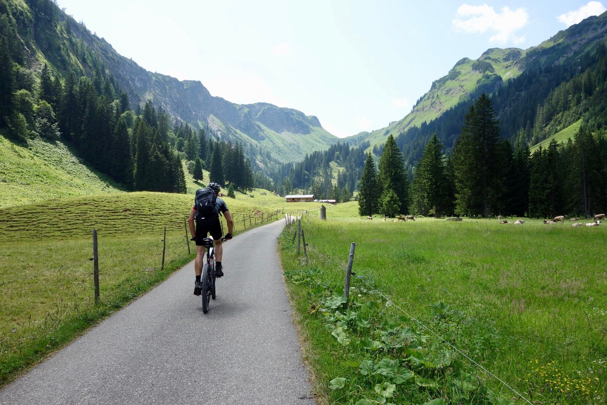
Heckmair Transalp – the original Alpine Crossing
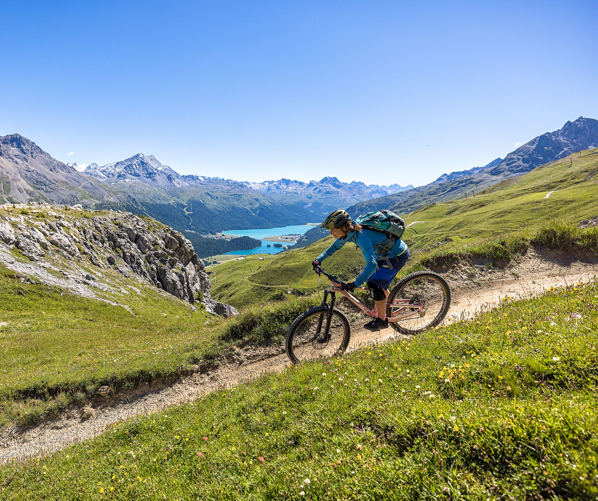
Trails with spectacular alpine panoramas – Engadin MTB region

On ancient paths towards Santiago — the Way of St. James Graubünden
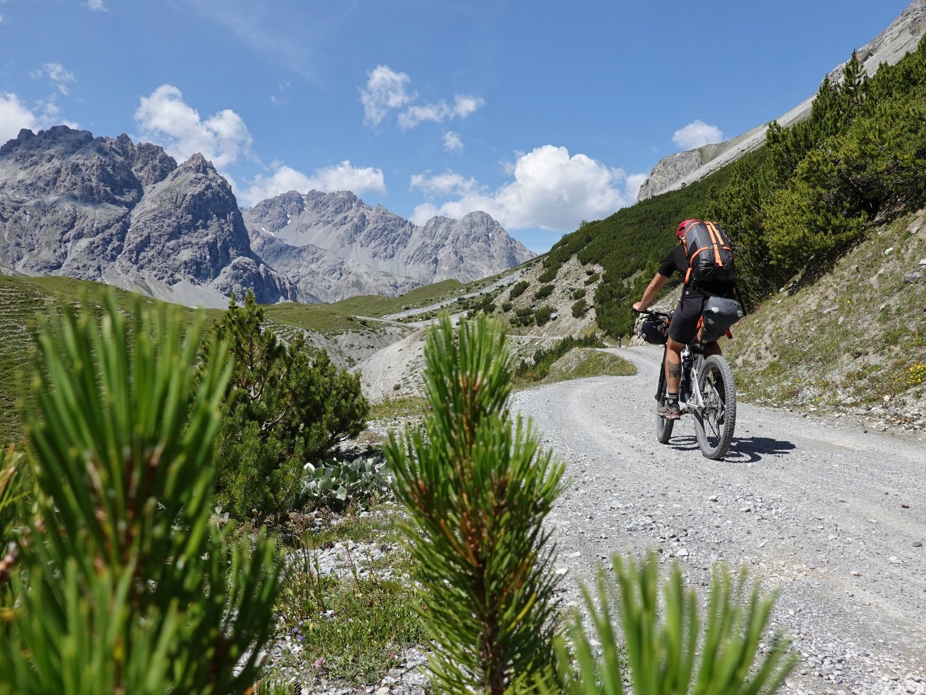
Bikepacking with marmots — explore the Swiss National Park
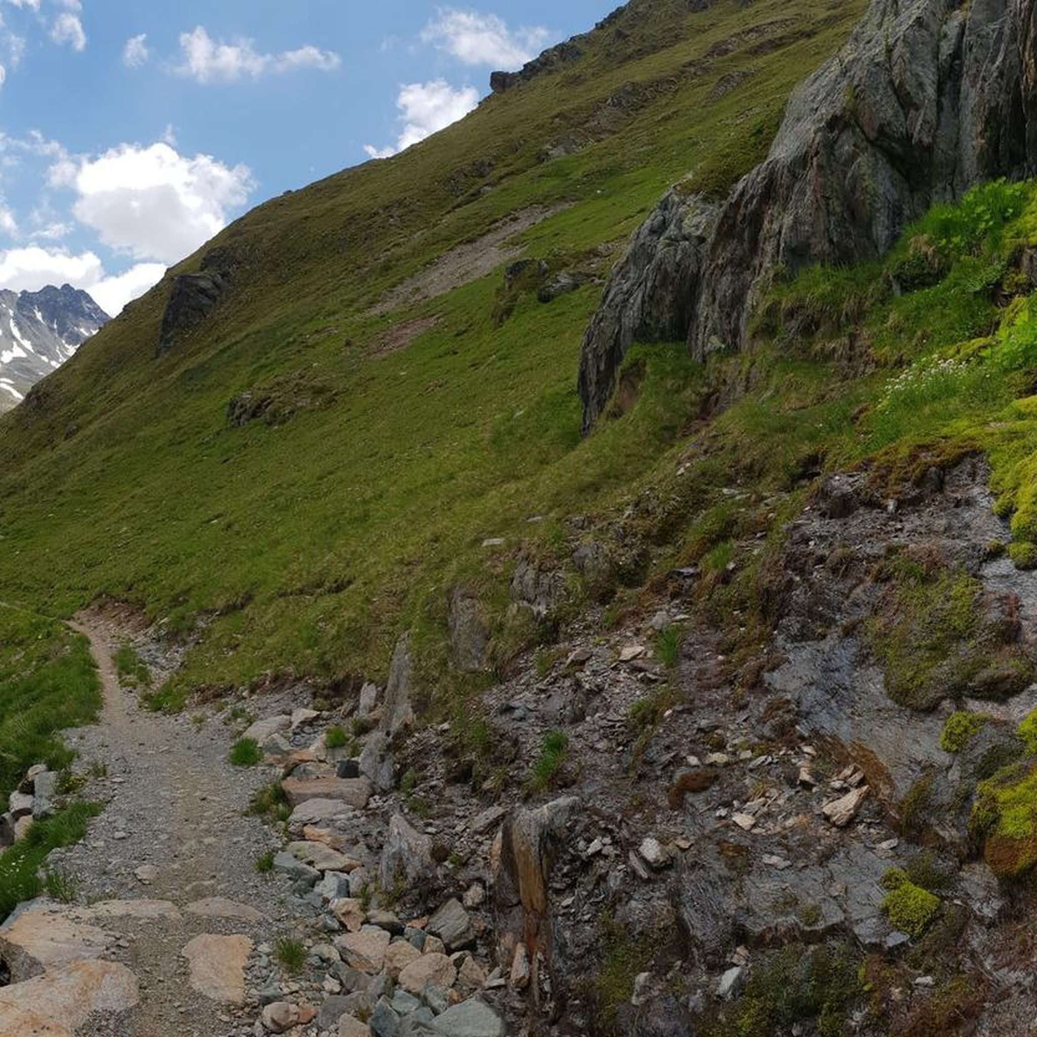
Road Cycling Routes around S-chanf
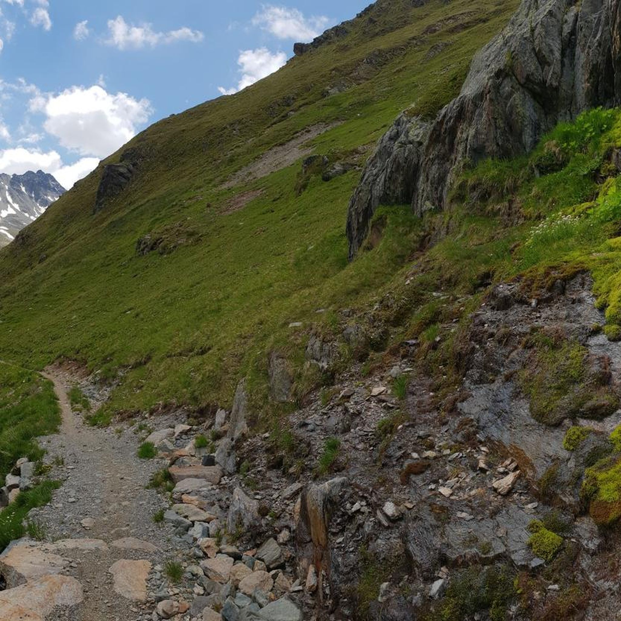
Hiking around S-chanf
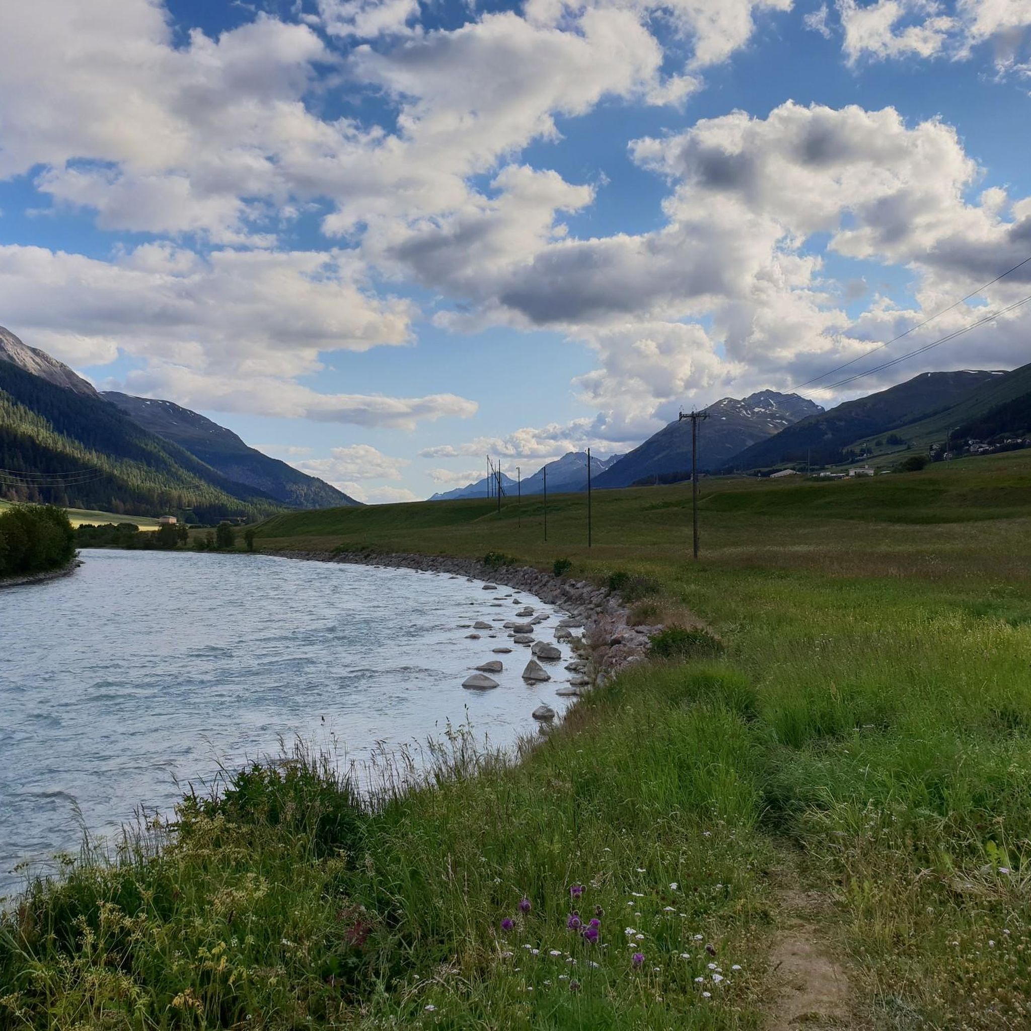
MTB Trails around S-chanf
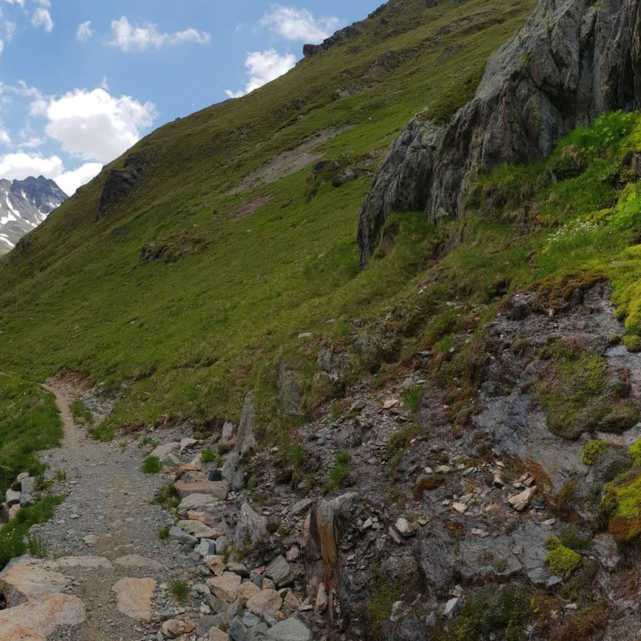
Cycling around S-chanf

Mountain Hikes around S-chanf
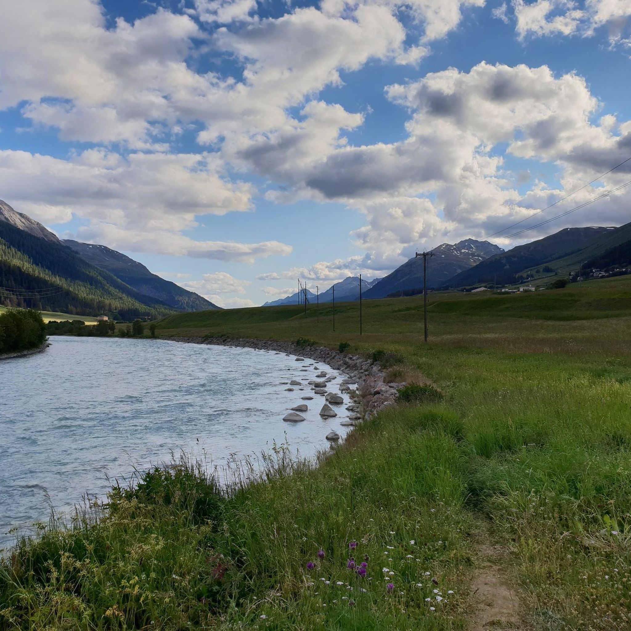
Running Trails around S-chanf
Other adventures around S-chanf


Tips from the Community

Beautiful lake with a nice cycle path
0
0


Silvaplanersee is an ideal windsurfing and kiteboarding area with a reliable Maloja wind in good weather. With strong day/night temperature differences, the rocks before the Maloja Pass in Bergell heat up and the wind pulls down the Inn Valley. This effect can be intensified by an approaching bad weather front -> then things really get going. With north wind (Bise) or Julier wind, however, the wind is weak. An ideal starting point for surfing is the Silvaplana campsite at the surf center with a large parking lot.
0
0

Sül Munt Baselgia e fin Lais da Macun
0
0

The Passo Alpisella is simply a feast for the eyes.
0
0
Very demanding, both downhill and uphill.
0
0

Wonderful lake, popular with water sports enthusiasts, very nice path along the lake on the east bank.
0
0

Frequently Asked Questions
What is the general difficulty level of gravel bike trails around S-chanf?
The gravel bike trails around S-chanf primarily cater to experienced riders, with the majority of the 23 available routes rated as difficult. There are also a few moderate options for those seeking less challenging rides.
Are there any easy gravel bike routes suitable for beginners in S-chanf?
While most routes are challenging, beginners can find suitable options by focusing on the valley paths, which tend to be flatter. For instance, parts of the Lake Silvaplana – Lake St. Moritz loop from Zuoz offer more gentle terrain, especially around the lakes.
How long do gravel bike trails near S-chanf typically take to complete?
The duration varies significantly based on the route's distance and elevation. For example, the challenging Alpisella & Trela route takes nearly 5 hours, while the moderate Lake Silvaplana – Lake St. Moritz loop from Zuoz is typically completed in just over 3 hours.
Where can I find parking for gravel biking trails in S-chanf?
S-chanf and nearby villages like Zuoz and La Punt Chamues-ch offer various public parking facilities, often near train stations or village centers, which serve as convenient starting points for many routes. Always check local signage for specific parking regulations and fees.
Can I access gravel bike trails in S-chanf using public transport?
Yes, the Engadin region is well-served by public transport. S-chanf has a train station, and local buses connect to surrounding villages. Many gravel routes, such as those starting from Zuoz or La Punt Chamues-ch, are easily accessible by train or bus, allowing for flexible tour planning.
Are there any family-friendly gravel bike trails around S-chanf?
For families, routes along the Inn River valley are generally more suitable due to their flatter profiles and less technical terrain. Consider sections of the Bridge Over the Inn River – Inn floodplains loop from Zuoz, which offers scenic views without extreme climbs.
What is the best season for gravel biking in S-chanf?
The best season for gravel biking in S-chanf is typically from late spring (May/June) through early autumn (September/October). During these months, trails are generally clear of snow, and the weather is pleasant for riding. Always check local conditions, especially at higher elevations, as snow can persist longer.
Are there any scenic viewpoints along the gravel bike routes in S-chanf?
Absolutely. Many routes offer stunning vistas of the Engadin valley, its lakes, and surrounding mountains. For panoramic views, consider routes that climb to higher elevations, or visit viewpoints like View of the Upper Engadine from Muottas Muragl, which can be incorporated into longer rides or accessed separately.
Are there any loop gravel bike routes available from S-chanf?
Yes, many gravel bike routes in the S-chanf area are designed as loops, allowing you to start and finish in the same location. Examples include the Ardez Railway Viaduct – First views of Zernez loop from Zuoz and the Bridge Over the Inn River – Inn floodplains loop from Zuoz.
What do other gravel bikers enjoy most about gravel biking in S-chanf?
The area is highly rated by the komoot community, with an average score of 4.6 stars. Reviewers often praise the diverse terrain, from riverside paths to challenging alpine climbs, and the breathtaking scenic views of lakes and mountain vistas that define the Engadin valley.
Are there any places to stop for food or drinks along the gravel bike routes?
Yes, the Engadin valley has various huts and inns where you can refuel. Depending on your chosen route, you might find options like Alp Languard or Spinas Inn, offering refreshments and local cuisine. It's always a good idea to check opening times in advance.
Can I find less crowded gravel bike trails in S-chanf?
While popular routes can see more traffic, especially on weekends, exploring trails that venture higher into the mountains or those slightly off the main valley floor can offer a more secluded experience. Early mornings or weekdays are also good times to find quieter paths.
Most popular attractions around S-chanf

Get inspired with the komoot mobile app


Explore more
Browse the best Gravel rides in other regions.
