The best cycling routes around Francavilla Angitola
4.6
(39)
746
riders
42
rides
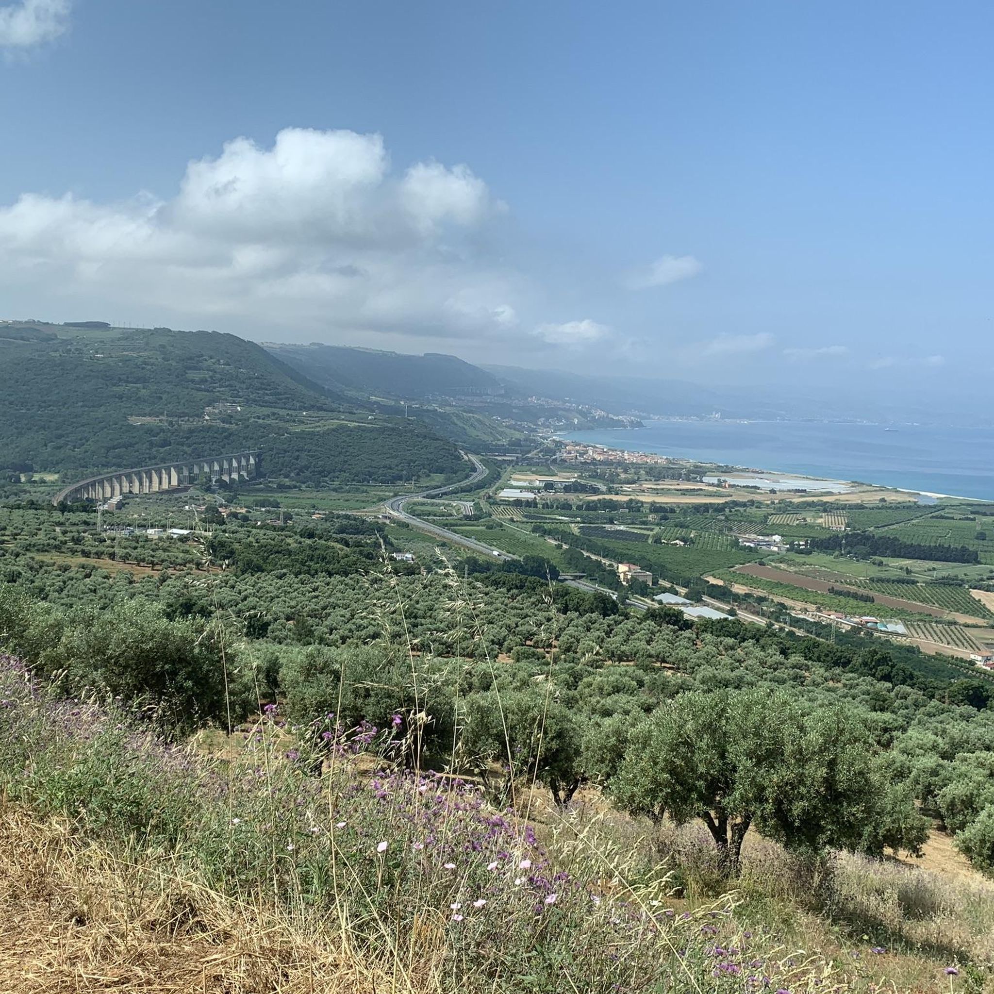
Touring cycling routes around Francavilla Angitola are set within a diverse landscape in the province of Vibo Valentia, Italy. The region features hilly inland terrain, with Francavilla Angitola itself situated at 290 meters above sea level, providing varied topography. Cyclists can explore areas within the Parco Naturale Regionale delle Serre and alongside the Lake Angitola WWF Oasis, characterized by green woods, ancient olive groves, and various tree species. This environment offers scenic backdrops for rides.
Best touring cycling routes around…
Last updated: July 2, 2026
5.0
(6)
70
riders
27.6km
01:46
220m
220m
Moderate bike ride. Good fitness required. Mostly paved surfaces. Suitable for all skill levels.
5.0
(1)
55
riders
43.2km
03:10
730m
730m
Hard bike ride. Very good fitness required. Mostly paved surfaces. Suitable for all skill levels.

Sign up for free
5.0
(3)
69
riders
47.9km
03:28
620m
620m
Hard bike ride. Very good fitness required. Mostly paved surfaces. Suitable for all skill levels.
25
riders
Hard bike ride. Very good fitness required. Mostly paved surfaces. Suitable for all skill levels.
24
riders
47.1km
03:19
820m
820m
Hard bike ride. Very good fitness required. Mostly paved surfaces. Suitable for all skill levels.
Get access to more routes and recommendations from other explorers.
Sign up for free
Already have an account?
Our route recommendations are based on thousands of hikes, rides, and runs completed by other people on komoot.
Start today with a free account
Your next adventure awaits.
Login or Signup
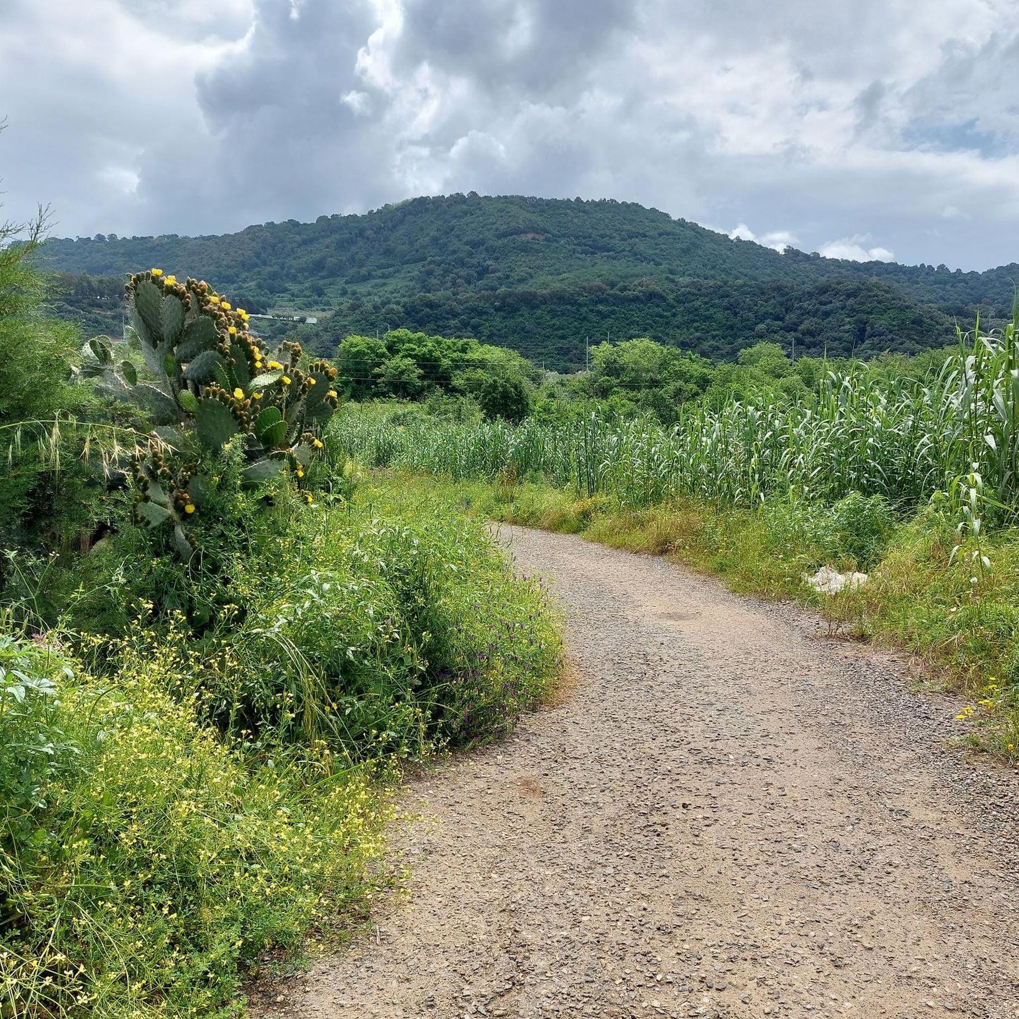
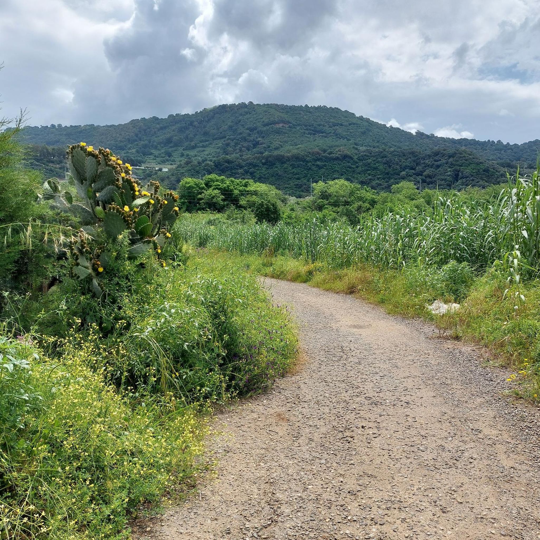

Tips from the Community

An excellent starting point for a visit to the historic center of Pizzo Calabro
1
0

A very beautiful church.
1
0

Beautiful fortress with a great history of Napoleon's brother-in-law
2
0

I checked and the indicated point is exact and precise. Area that I often visit. The road is the ancient Popilia on the Scrisi plain and also leads to the Popilia resort.
0
0
Artificial lake in the territory of the municipalities of Maierato and Monterosso Calabro
0
0
Fontana Brisedha (Brisella) has some basins that were once used as wash houses for washing clothes by the citizens of Philadelphia
0
0
Saracen tower, takes its name from the place where it is located. Reachable by crossing a private field cultivated with onions or strawberries.
0
0

The fountain is on the Maierato plain to go towards the Popilia Resort, it is not in the point indicated on the map.
0
1
Frequently Asked Questions
How many touring cycling routes are available around Francavilla Angitola?
There are over 20 touring cycling routes around Francavilla Angitola, offering a diverse range of experiences for cyclists. These routes are highly rated by the komoot community, with an average score of 4.7 stars.
What kind of terrain can I expect when cycling around Francavilla Angitola?
The region is characterized by hilly inland terrain, with Francavilla Angitola itself situated at 290 meters above sea level. You'll encounter varied topography, including green woods, ancient olive groves, and areas within the Parco Naturale Regionale delle Serre and alongside the Lake Angitola WWF Oasis.
Are there any easy touring cycling routes suitable for beginners?
While many routes in the area are moderate to difficult, there is at least one easy touring cycling route available. The majority of the 22 routes are categorized as moderate or difficult, suggesting a good level of fitness is generally beneficial.
What are some of the natural highlights or landmarks I can see along the cycling routes?
Cyclists can explore the vital Lake Angitola WWF Oasis, known for its biodiversity and migratory birds. Other natural features include the lush environments of the Parco Naturale Regionale delle Serre and the scenic slopes of Monte Covello. You might also encounter the Scrisi Fountain or the Monte Coppari Beech Forest.
Are there any circular touring cycling routes in the area?
Yes, many of the touring cycling routes around Francavilla Angitola are designed as loops. For example, the View of the sea in Pizzo – Bridge over the Angitola loop from Eccellente and the Bridge over the Angitola – Lago Angitola loop from Eccellente are popular circular options.
What do other touring cyclists enjoy most about cycling in Francavilla Angitola?
The komoot community highly rates the touring cycling experience in Francavilla Angitola, with an average score of 4.7 stars from over 20 reviews. Cyclists often praise the diverse landscapes, the tranquility of the 'silent' roads with minimal traffic, and the natural beauty of the Lake Angitola WWF Oasis and the Parco Naturale Regionale delle Serre.
What is the best time of year for touring cycling in Francavilla Angitola?
Given the Mediterranean climate, spring and autumn generally offer the most pleasant conditions for touring cycling, with milder temperatures and lush scenery. Summers can be warm, but the varied terrain and proximity to natural areas like the Lake Angitola WWF Oasis provide opportunities for enjoyable rides.
Are there any long-distance touring routes for experienced cyclists?
Yes, for experienced cyclists seeking longer distances and significant elevation gain, routes like the Piazza and Fountain of Donnafiori – Fosso del Lupo Pass loop from Francavilla Angitola-Filadelfia cover over 70 km with more than 1100 meters of ascent, offering a challenging experience.
Can I find routes that offer coastal views?
Absolutely. The View of the sea in Pizzo – Bridge over the Angitola loop from Eccellente is a popular route that provides coastal views while traversing varied terrain, combining the beauty of the sea with the inland landscape.
Are there any routes that pass through the Lake Angitola WWF Oasis?
Yes, the Bridge over the Angitola – Lago Angitola loop from Eccellente is a specific route that leads directly through the Lake Angitola WWF Oasis, allowing cyclists to experience this important natural haven.
What are some other historical or cultural points of interest near the cycling routes?
Beyond natural beauty, the region has historical significance. While specific routes are not detailed, the area is known for sites like the ruins of the Augustinian monastery of Santa Maria della Croce near Lake Angitola, or the medieval quarter of Pendino with its ancient rock-hewn olive mill. You might also find the Rocca Angitola interesting.
Is public transport available to reach the starting points of these cycling routes?
While specific public transport links directly to every route start are not detailed, Francavilla Angitola is a village in the province of Vibo Valentia. For general travel information to the region, you can consult resources like Italia.it for broader transport options to the area.
Most popular routes around Francavilla Angitola
Most popular attractions around Francavilla Angitola

Get inspired with the komoot mobile app


Explore more
Browse the best Cycling routes in other regions.
