The best walks and hikes around Francavilla Angitola
3.9
(31)
211
hikers
18
hikes
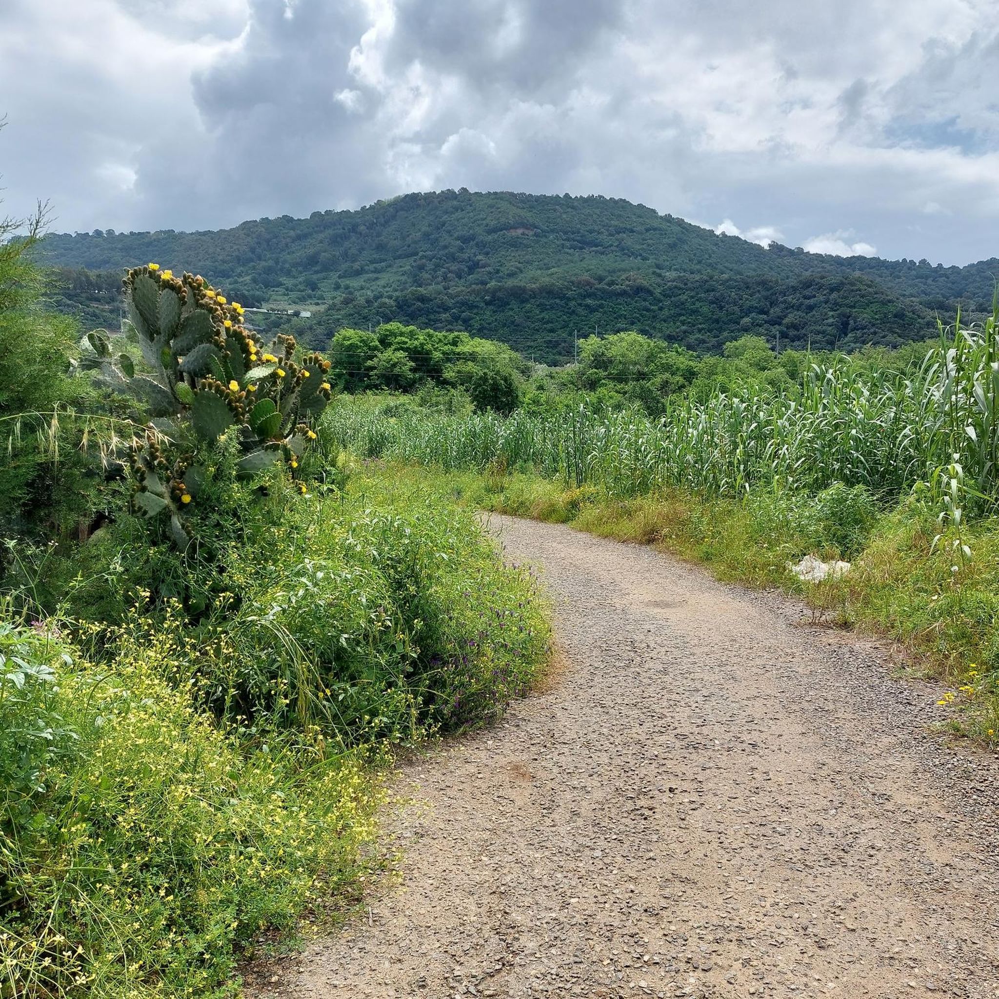
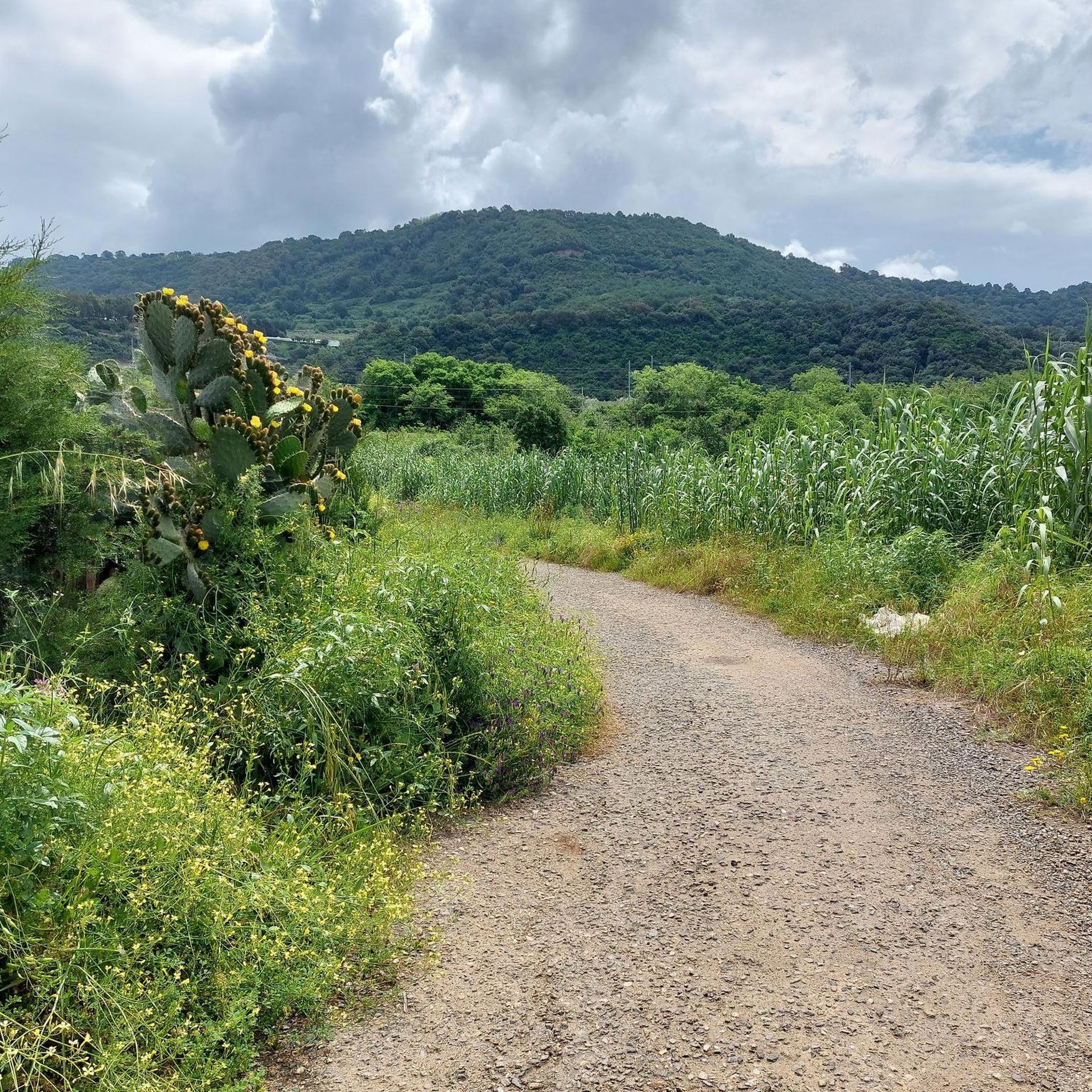
Hiking around Francavilla Angitola offers diverse landscapes within the province of Vibo Valentia, Italy. The region is characterized by the WWF Oasis Lago Angitola, an artificial lake serving as a nature reserve, and is part of the broader Parco Naturale Regionale delle Serre, featuring lush forests and varied terrain. Hikers can explore areas around Monte Covello, known for its greenery, and discover valleys formed by streams and torrents. This combination provides a range of hiking experiences from lakeside paths to…
Last updated: October 11, 2026
3.3
(3)
5
hikers
13.3km
04:22
620m
620m
Moderate hike. Good fitness required. Mostly accessible paths. Sure-footedness required.
2.0
(2)
8
hikers
16.6km
04:33
260m
260m
Moderate hike. Good fitness required. Easily-accessible paths. Suitable for all skill levels.

4.5
(6)
19
hikers
10.2km
03:11
370m
370m
Moderate hike. Good fitness required. Easily-accessible paths. Suitable for all skill levels.
4.4
(5)
18
hikers
2.49km
00:46
90m
90m
Easy hike. Great for any fitness level. Easily-accessible paths. Suitable for all skill levels.
5.0
(1)
7
hikers
Moderate hike. Good fitness required. Easily-accessible paths. Suitable for all skill levels.
Get access to more routes and recommendations from other explorers.
Already have an account?
Our route recommendations are based on thousands of hikes, rides, and runs completed by other people on komoot.
Start today with a free account
Your next adventure awaits.

Tips from the Community

Pizzo - known as the home of the Tartufo ice cream truffle.
0
0
Toll modeled wire frame. A person looking at the coast.
0
0

View from the SP47 road that leads from Angitola to the town of Monterosso
0
0

Traditionally produced Tartufo since 1965!!
0
0

A unique transparent sculpture by artist Edoardo Tresoldi. Perhaps it needs some TLC. Still, it's evocative.
1
0

A very beautiful church.
1
0

a restorative and refreshing stop
0
0
Alleyways adorned by the historic Callipo tuna industry
2
0
Frequently Asked Questions
What kind of terrain can I expect on hikes around Francavilla Angitola?
The terrain around Francavilla Angitola is quite varied. You'll find paths circling the WWF Oasis Lago Angitola, offering tranquil lakeside walks. Further inland, the Parco Naturale Regionale delle Serre features lush forests, particularly mixed forests of beech and silver fir in higher altitudes, with abundant springs. The area also includes ridges and valleys formed by streams, providing diverse landscapes from moderate loops to more challenging forest paths. For example, the Monterosso Calabro – ring tour leads through the natural beauty of the Serre region.
Are there any easy hiking trails suitable for beginners in Francavilla Angitola?
Yes, Francavilla Angitola offers several easy trails perfect for beginners. Out of 17 total routes, 10 are classified as easy. These often include more level paths, such as those found around Lake Angitola. For a shorter, accessible option, consider the Chiesetta di Piedigrotta loop from Pizzo, which is an easy 2.8 km hike.
What historical sites or landmarks can I explore while hiking in the area?
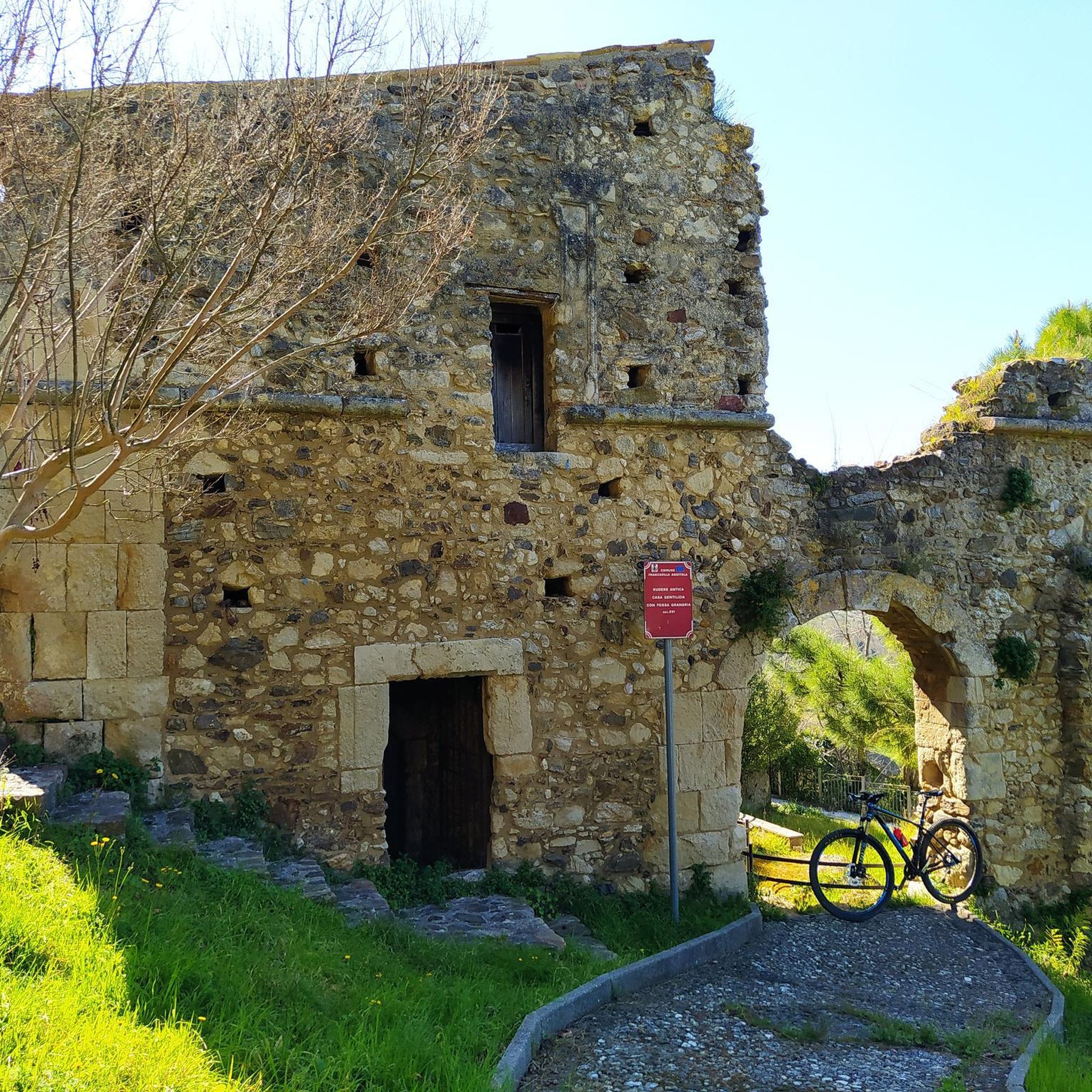
Hikers can discover several historical sites and landmarks. A notable one is Rocca Angitola, the ruins of a town destroyed in an earthquake in 1783, which includes remains of city walls, a castle, and churches. The Rocca Angitola – View of the Gulf of Squillace loop from Pizzo offers a chance to explore these ruins and enjoy panoramic views. You can also visit the Rocca Angitola highlight page for more details. Another point of interest is the Chiesetta di Piedigrotta of Pizzo, a unique church built into a cave.
Are there any circular hiking routes available?
Yes, Francavilla Angitola features several circular hiking routes. These are great for experiencing diverse scenery without retracing your steps. An example is the Lago Angitola – WWF Oasis – Picnic Area at Lake Angitola loop from Lago dell'Angitola, which offers beautiful views of the lake and its surrounding biodiversity.
What is the best time of year to go hiking in Francavilla Angitola?
The region generally offers pleasant hiking conditions for much of the year. Spring and autumn are often ideal, with milder temperatures and lush landscapes. Summer can be warm, especially at lower elevations, but higher areas within the Parco Naturale Regionale delle Serre might offer cooler forest trails. Winter hiking is possible, but it's advisable to check local weather conditions, especially for higher altitudes.
Are there any trails suitable for families with children?
Yes, many of the easier trails around Francavilla Angitola are suitable for families. The paths around WWF Oasis Lago Angitola are generally less strenuous and offer opportunities for birdwatching, making them enjoyable for children. Look for routes classified as 'easy' in the komoot guide, as these typically have gentler gradients and shorter distances.
What natural attractions can I see along the hiking trails?
The area is rich in natural beauty. The most prominent feature is the WWF Oasis Lago Angitola, an artificial lake that has become a vital stop for migratory birds and a haven of Mediterranean biodiversity. You can find more information on the Lake Angitola highlight page. The Parco Naturale Regionale delle Serre encompasses lush forests, including the Monte Coppari Beech Forest, known for its dense greenery and abundant springs.
Is there parking available at the trailheads?
While specific parking details for every trailhead are not always listed, many popular hiking areas in Italy, especially those near natural parks or attractions like Lake Angitola, typically have designated parking facilities. It's recommended to check the starting points of individual routes on komoot for more precise parking information, or look for areas near towns like Francavilla Angitola or Pizzo.
What do other hikers enjoy most about hiking in Francavilla Angitola?
The hiking routes in Francavilla Angitola are highly rated by the komoot community, with an average score of 4.0 stars from over 60 reviews. Hikers often praise the diverse landscapes, from the tranquil lakeside paths of Lago Angitola to the historical ruins of Rocca Angitola and the lush forests of the Parco Naturale Regionale delle Serre. The variety of difficulty levels also makes the area appealing to a wide range of outdoor enthusiasts.
Are there any trails that offer scenic viewpoints?
Yes, several trails provide excellent scenic viewpoints. The Rocca Angitola – View of the Gulf of Squillace loop from Pizzo, for instance, offers panoramic vistas of the Gulf of Squillace alongside historical ruins. Routes that traverse higher ground within the Parco Naturale Regionale delle Serre or around Monte Covello can also provide beautiful outlooks over the surrounding valleys and coastline.
How many hiking trails are there in Francavilla Angitola?
There are 17 hiking routes available in Francavilla Angitola. These routes vary in difficulty, with 10 easy, 6 moderate, and 1 difficult trail, offering options for all experience levels.
Can I find places to picnic or rest along the trails?
Yes, the area offers spots for picnicking and resting. Notably, there is a Picnic Area at Lake Angitola, which is often incorporated into routes around the WWF Oasis. These designated areas provide convenient places to take a break and enjoy the natural surroundings.
Most popular routes around Francavilla Angitola
Most popular attractions around Francavilla Angitola

Get inspired with the komoot mobile app


Explore more
Browse the best Hikes in other regions.
