The best road cycling routes in the Sawatch Range
4.5
(41)
3,086
riders
75
rides
Road cycling routes in the Sawatch Range traverse a formidable mountain landscape in central Colorado, characterized by numerous high-altitude peaks and significant elevation gains. The region features iconic mountain passes, including several over 10,000 feet, offering challenging ascents and descents. This terrain is shaped by ancient volcanic activity and glacial erosion, resulting in a diverse environment of alpine forests, river valleys, and open mountain vistas. The Sawatch Range is home to the headwaters of major rivers and is largely protected…
Last updated: July 7, 2026
4.5
(4)
416
riders
129km
07:35
2,000m
2,000m
Hard road ride. Very good fitness required. Mostly well-paved surfaces and easy to ride.
5.0
(10)
206
riders
30.9km
01:35
530m
530m
Moderate road ride. Good fitness required. Mostly well-paved surfaces and easy to ride.

Sign up for free
5.0
(1)
154
riders
70.0km
03:46
1,070m
1,070m
Hard road ride. Very good fitness required. Mostly well-paved surfaces and easy to ride.
5.0
(2)
151
riders
52.5km
02:45
810m
810m
Moderate road ride. Good fitness required. Mostly well-paved surfaces and easy to ride.
133
riders
92.2km
05:05
1,380m
1,380m
Hard road ride. Very good fitness required. Mostly well-paved surfaces and easy to ride.
5.0
(1)
129
riders
37.6km
01:49
530m
530m
Moderate road ride. Good fitness required. Mostly well-paved surfaces and easy to ride.
5.0
(2)
119
riders
64.3km
03:29
1,300m
1,300m
Hard road ride. Very good fitness required. Mostly well-paved surfaces and easy to ride.
5.0
(1)
55
riders
55.7km
02:50
910m
910m
Hard road ride. Very good fitness required. Mostly well-paved surfaces and easy to ride.
52
riders
47.0km
02:26
650m
650m
Moderate road ride. Good fitness required. Mostly well-paved surfaces and easy to ride.
5.0
(2)
43
riders
46.3km
02:00
400m
400m
Moderate road ride. Good fitness required. Mostly well-paved surfaces and easy to ride.
Get access to more routes and recommendations from other explorers.
Sign up for free
Already have an account?
Our route recommendations are based on thousands of hikes, rides, and runs completed by other people on komoot.
Start today with a free account
Your next adventure awaits.
Login or Signup
Popular around Sawatch Range

The Colorado Trail — Ten incredible days in the Rocky Mountains

Colorado Trail — The pinnacle of wild Colorado

Mountain bike paradise around Salida in Colorado

Unforgettable MTB Adventures – IMBA Epic Trails in USA and Canada
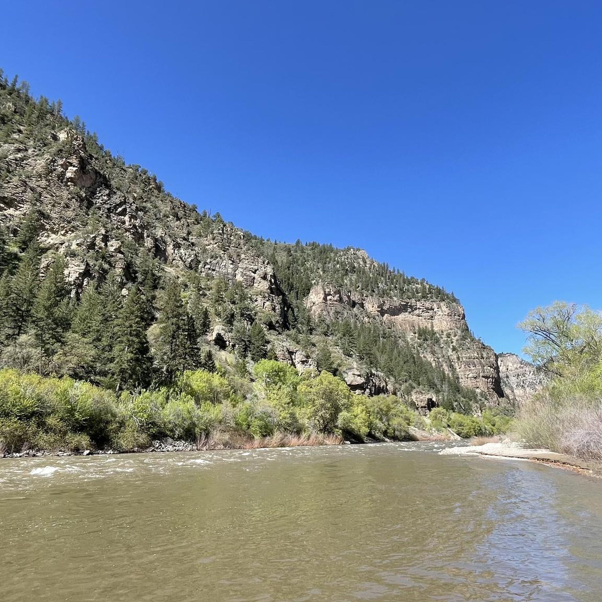
Hiking in the Sawatch Range
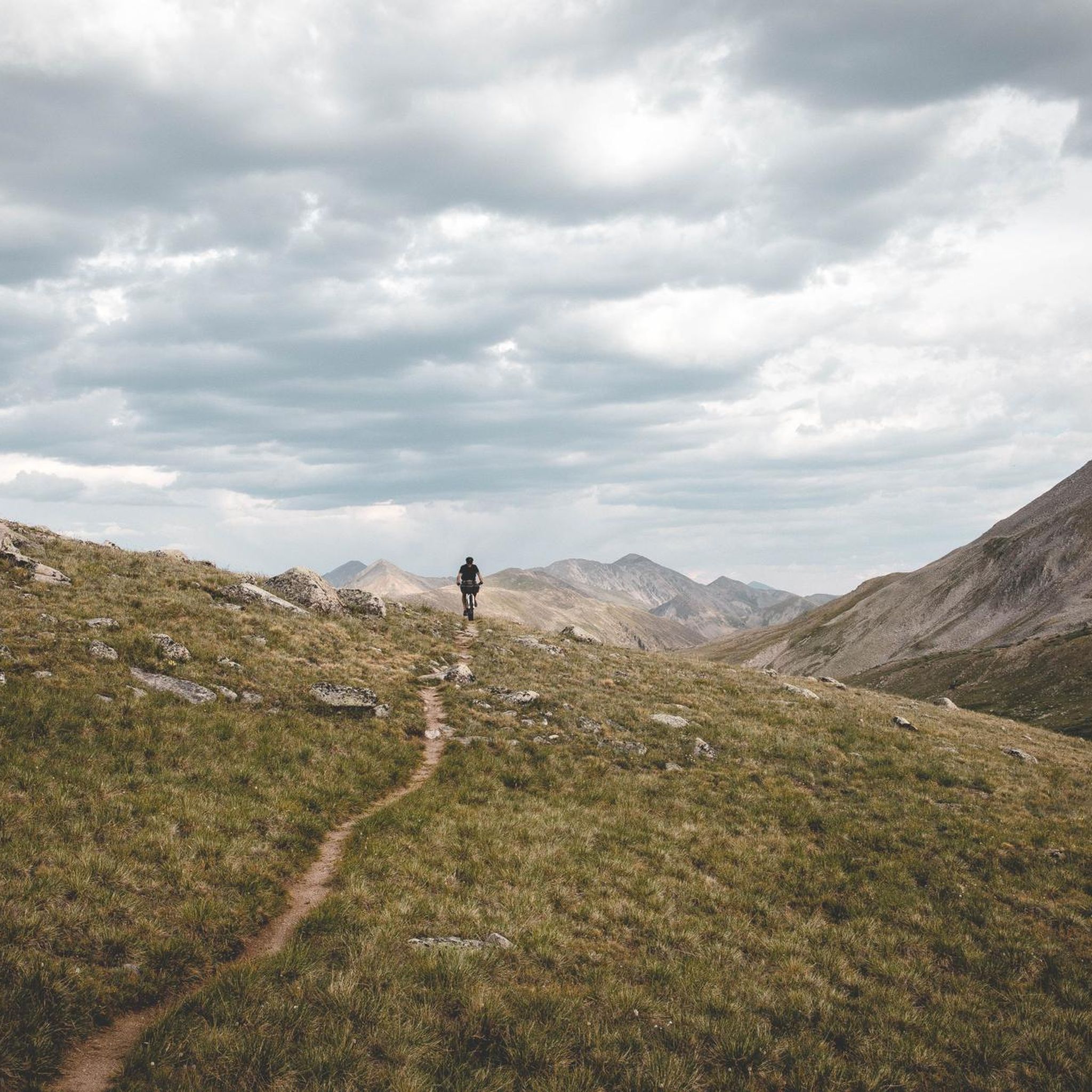
MTB Trails in the Sawatch Range
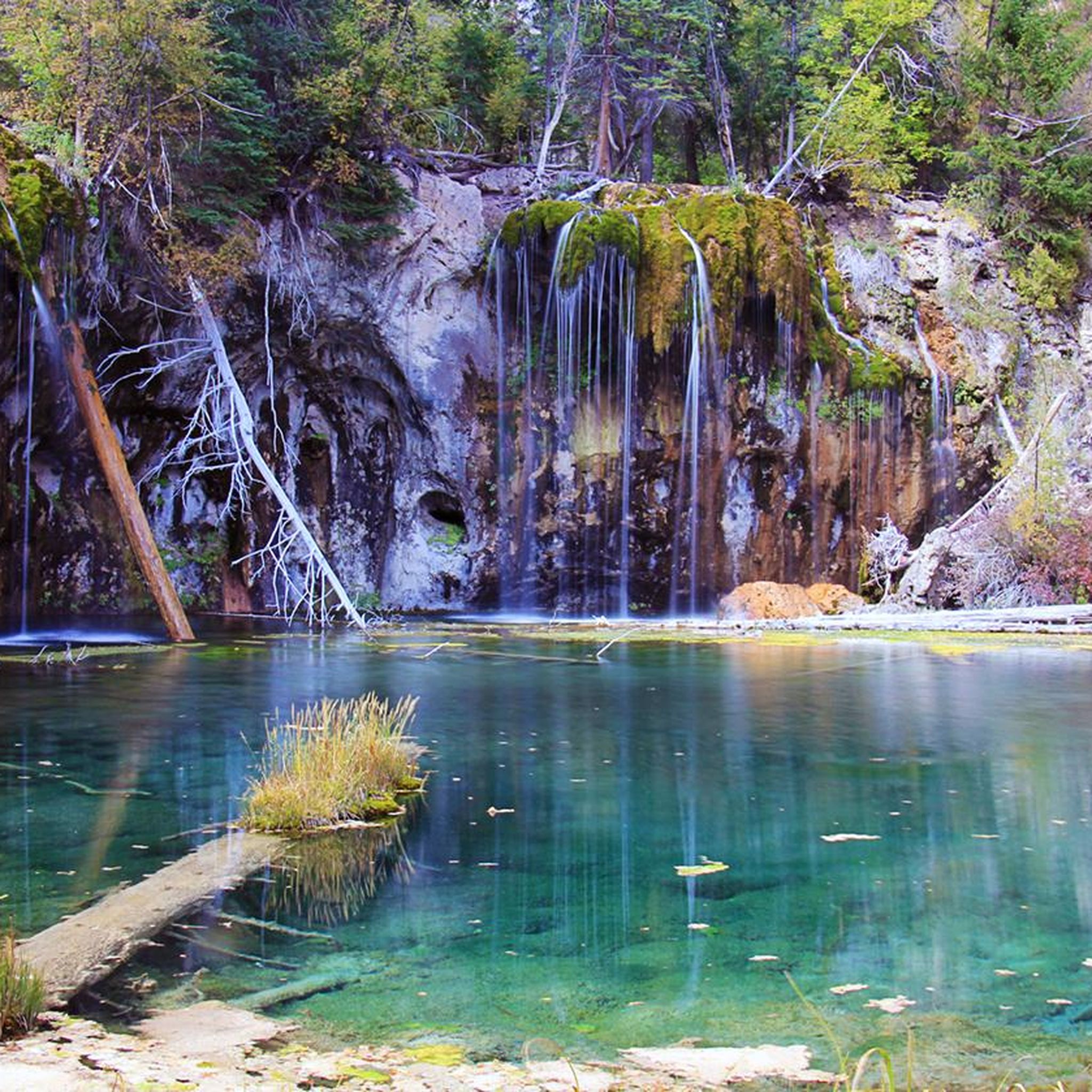
Running Trails in the Sawatch Range
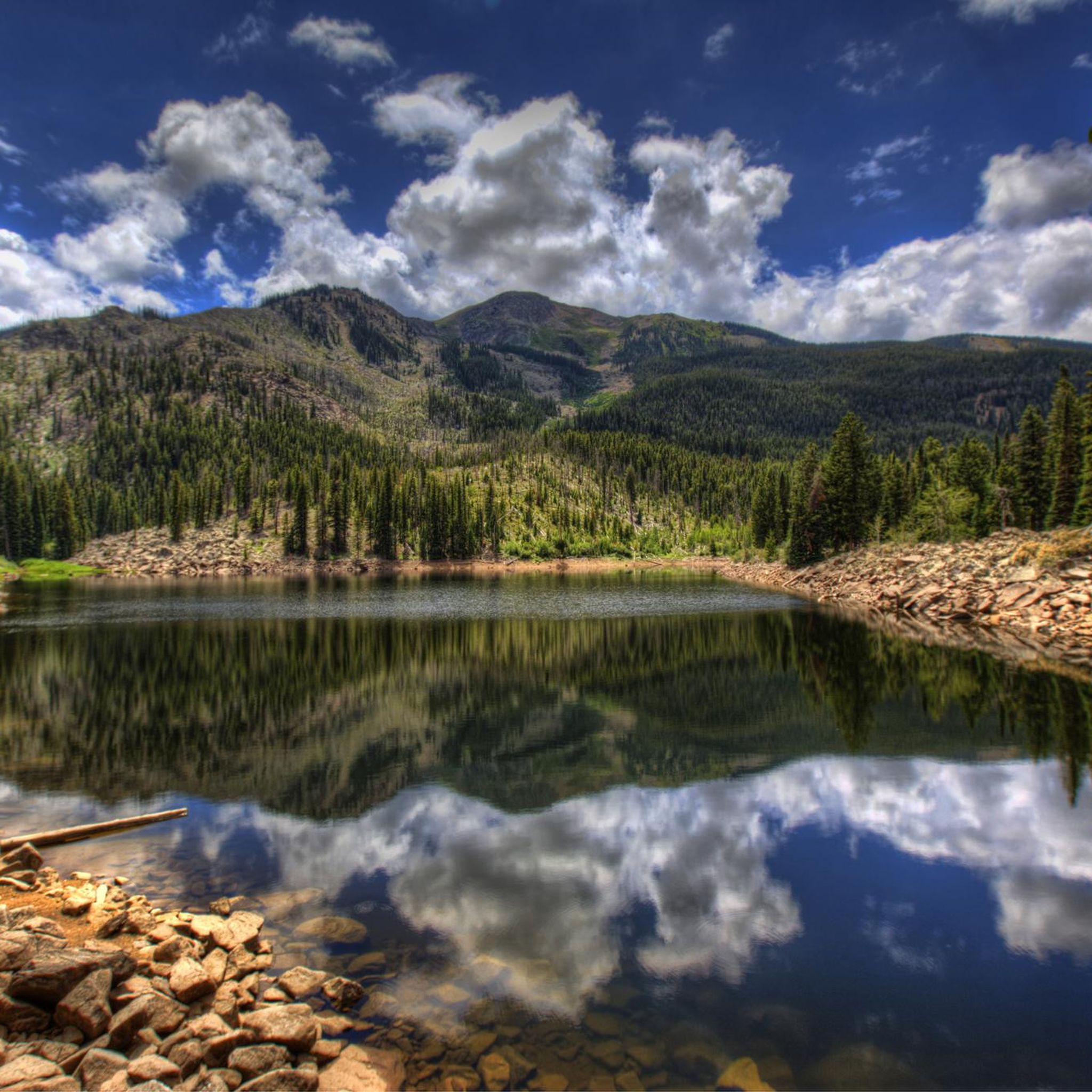
Cycling in the Sawatch Range
Gravel biking in the Sawatch Range
Other adventures in the Sawatch Range


Tips from the Community

As unique as it is beautiful the Red Cliff Bridge is Colorado's only cantilevered steel arch bridge. Originally constructed in 1940, the bridge was heavily restored in 2004. It has been listed on the National Register of Historic Places since 1985
0
0

Climbing Independence Pass eastwards from Aspen is a bucket-list journey to the Continental Divide, reaching an extreme altitude of 12,095ft, making it one of North America's highest paved passes. Prepare for a very long 18-20 mile and challenging climb gaining over 4000ft; while the average grade is moderate at 4-5%, expect long, sustained climbing sections particularly above the tree line, likely averaging 6-8% in parts, amplified significantly by the thin air. Along the route you'll see the stunning transition through beautiful aspen groves to breathtaking alpine tundra vistas. Be aware that services are non-existent between Aspen and Twin Lakes so be self-sufficient and check the road status before attempting the climb.
0
0

The Vail Pass Bike Path, or Vail Pass RecPath is 8.7 miles (one way) up from the town of Vail to the summit of Vail Pass. The bike trail begins on old Highway 6 for the first 3.5 miles. After that, turn right to follow the path to up Vail Pass (if you miss the turn and continue straight, the old highway ends after about .25 miles). As you ride, enjoy the stunning scenery safely away from cars. Once you hit the summit of Vail Pass, there are bathrooms, water, and parking. You can either then turn back and enjoy a super fun descent back down to Vail, or ride down the other side to Copper Mountain and back.
0
0
From this spot on Bighorn Road, you get fantastic, sweeping views of Vail Valley, the ski resort, and surrounding mountains. This is a great place to pause and sip some water on the steep ascent, or admire as you fly down on the fast descent.
0
0

There are actually a couple Black Lakes here just off the side of the paved bike path. A bit down the south side of the pass is the main parking area and facilities for Vail Pass.
0
0

This lake provides stunning views of mountains, pine trees, red rocks, and water, truly encapsulating the Colorado experience. Regularly stocked with trout, it's a good place to stop, and if you choose to fish, make sure you have a fishing license.
0
0
This iconic bridge is located in Red Cliff, Colorado and is also known as the Red Cliff Bridge or Eagle River Bridge. Spanning the Eagle River, the Red Cliff Bridge is a distinctive historic landmark in the town.
0
0
Although the town of Vail is best known for its world-famous ski resort, there is a lot more to this town than that. The town is surrounded by hiking and biking trails, like the popular Booth Falls Trail, and other activities such as fly-fishing and gondola rides. In the summer, golfers can also tee off at Vail Golf Club. The town itself offers a mix of upscale boutiques, art galleries, and unique shops in Vail Village and Lionshead. There are restaurants, cafes, and breweries too for you to grab a great bite to eat at after a day of adventuring.
0
0
Frequently Asked Questions
What kind of terrain can I expect on road cycling routes in the Sawatch Range?
The Sawatch Range offers a diverse road cycling experience, characterized by formidable mountain passes and significant elevation gains. You'll encounter high-altitude peaks, river valleys, and extensive national forests. Routes often feature challenging ascents over major passes like Independence Pass and Monarch Pass, reaching elevations over 10,000 feet, alongside more moderate rides through scenic valleys.
Are there any easy road cycling routes suitable for beginners in the Sawatch Range?
Yes, while many routes are challenging, there are options for beginners. The region offers 15 easy routes, often found in less intense sections of scenic byways or along lake shores. For example, sections of the Collegiate Peaks Scenic Byway provide picturesque rides with less intense climbs. Always check the route details for elevation profiles to match your comfort level.
What are some of the most challenging road cycling routes in the Sawatch Range?
The Sawatch Range is renowned for its challenging climbs. Iconic routes include the Vail, Fremont, and Tennessee Pass loop, which features three climbs over 10,000 feet. Another demanding option is Independence Pass via Hwy 82, known for its high alpine terrain and significant elevation gain to 12,095 feet.
What is the best time of year for road cycling in the Sawatch Range?
The best time for road cycling in the Sawatch Range is typically from late spring through early fall. Many high mountain passes, such as Independence Pass, are only open seasonally, usually from late May or early June until October, depending on snow conditions. Summer offers the most consistent weather, though afternoon thunderstorms are common. Always check local road conditions and weather forecasts before heading out.
Are there any family-friendly road cycling options in the Sawatch Range?
While many routes involve significant climbs, some areas offer more family-friendly options. Routes around lakes like Twin Lakes or Turquoise Lake often have flatter sections or paved paths suitable for families. Additionally, less intense sections of the Collegiate Peaks Scenic Byway can be enjoyable for a family outing. Always review the route's difficulty and elevation before starting.
What kind of natural attractions or landmarks can I see along road cycling routes?
The Sawatch Range is rich in natural beauty. Along your rides, you might encounter majestic peaks like Mount Elbert (Colorado's highest peak) or the Collegiate Peaks. Other notable features include the iconic Maroon Bells near the Maroon Lake via Maroon Creek Road route, and the scenic views from mountain passes like Monarch Pass. You can also find beautiful lakes and rivers throughout the region.
Are there any loop road cycling routes in the Sawatch Range?
Yes, the Sawatch Range offers several excellent loop routes. A prominent example is the Vail, Fremont, and Tennessee Pass loop, which is a popular 79-mile circuit often host to an annual race. These loops provide a comprehensive experience of the region's diverse landscapes and challenging climbs.
What do other road cyclists say about the routes in the Sawatch Range?
The road cycling routes in the Sawatch Range are highly regarded by the komoot community, with an average score of 4.7 stars from over 40 reviews. Cyclists frequently praise the breathtaking scenery, the challenge of the high mountain passes, and the well-maintained roads. Many appreciate the extensive views of the surrounding peaks and the sense of accomplishment after conquering significant elevation gains.
Are there options for parking near road cycling trails in towns like Leadville, Twin Lakes, Buena Vista, or Salida?
Yes, towns like Leadville, Twin Lakes, Buena Vista, and Salida, which serve as popular starting points for many routes, typically offer various parking options. These can include public parking lots, designated trailheads, or street parking. It's advisable to check specific town regulations or trailhead information for the route you plan to ride to ensure convenient parking.
Can I find amenities like cafes or accommodation near the road cycling routes?
Absolutely. The towns surrounding the Sawatch Range, such as Leadville, Twin Lakes, Buena Vista, Salida, and Vail, are well-equipped with amenities for visitors. You'll find a range of cafes, restaurants, and accommodation options from hotels to campgrounds. These towns serve as excellent bases for exploring the region's road cycling routes.
Are there any regulations regarding permits for road biking in the Sawatch Range?
Generally, specific permits are not required for road cycling on public roads and designated paved paths within the Sawatch Range. However, if your route takes you into certain wilderness areas or private lands, or if you plan to participate in organized events, there might be specific regulations or fees. It's always best to check with local land management agencies (e.g., National Forests) for the most current information regarding your specific route.
What is the typical length of road cycling routes in the Sawatch Range?
The length of road cycling routes in the Sawatch Range varies significantly to accommodate different skill levels and preferences. You can find shorter, moderate paths like Maroon Lake via Maroon Creek Road at around 19 miles (30 km), to much longer and more demanding routes such as the Vail, Fremont, and Tennessee Pass loop, which spans over 80 miles (128 km).
Most popular routes in the Sawatch Range
Most popular attractions in the Sawatch Range

Get inspired with the komoot mobile app


Explore more
Browse the best Road cycling routes in other regions.
