The best walks and hikes in the Sardinia Mountains
4.4
(16606)
79,681
hikers
1,673
hikes
Hiking in the Sardinia Mountains offers diverse landscapes, from rugged limestone massifs to deep canyons and coastal paths. The region is characterized by imposing formations like the Supramonte and Gennargentu massifs, which include Sardinia's highest peak, Punta La Marmora. Trails traverse mixed foliage forests, dramatic gorges such as Gola di Gorropu, and areas with unique karst and volcanic features. This varied terrain provides a wide range of hiking experiences for different fitness levels.
Best hiking trails in the Sardinia Mountains
…Last updated: October 10, 2026
4.6
(637)
3,700
hikers
5.34km
01:53
130m
150m
Moderate hike. Great for any fitness level. Mostly accessible paths. Sure-footedness required.
4.8
(537)
3,506
hikers
7.46km
03:25
490m
490m
Moderate hike. Good fitness required. Mostly accessible paths. Sure-footedness required.

4.7
(136)
1,075
hikers
5.28km
02:12
190m
690m
Hard hike. Good fitness required. Sure-footedness, sturdy shoes and alpine experience required.
4.8
(267)
928
hikers
Embark on a moderate hike through the rugged karstic landscape of Monte San Giovanni — Supramonte of Oliena, Orgosolo and Urzulei - Su Sercone. This trail spans 4.8 miles (7.7…
4.8
(127)
415
hikers
8.82km
03:30
490m
500m
Moderate hike. Good fitness required. Mostly accessible paths. Sure-footedness required.
4.6
(56)
219
hikers
8.32km
03:01
380m
380m
The Cala Luna – Round trip is a difficult hike covering 5.2 miles (8.3 km) with a significant elevation gain of 1244 feet (379 metres), typically taking 3 hours and…
4.7
(145)
713
hikers
15.7km
06:26
730m
730m
The Cala Mariolu Trail offers a demanding hiking experience, covering 9.7 miles (15.7 km) with a substantial 2394 feet (730 metres) of elevation gain. You will navigate through dense Mediterranean…
3.3
(3)
13
hikers
12.5km
05:17
890m
890m
Embark on a challenging hike through the Gorropu Canyon, often called Europe's deepest canyon, where towering limestone walls reach up to 500 meters high and narrow to just 5 meters…
4.5
(149)
428
hikers
6.00km
01:53
240m
240m
Embark on the "Along the Ivy River - Loop Tour," a moderate hiking trail spanning 3.7 miles (6.0 km) through the Sette Fratelli forest in southeastern Sardinia, Italy. This route,…
4.4
(78)
401
hikers
9.95km
03:40
400m
400m
Hike the difficult 6.2-mile Cala Fuili to Cala Luna Trail in Sardinia, gaining 1316 feet to reach the stunning Cala Luna beach.
Get access to more routes and recommendations from other explorers.
Already have an account?
Our route recommendations are based on thousands of hikes, rides, and runs completed by other people on komoot.
Start today with a free account
Your next adventure awaits.
Popular around Sardinia Mountains
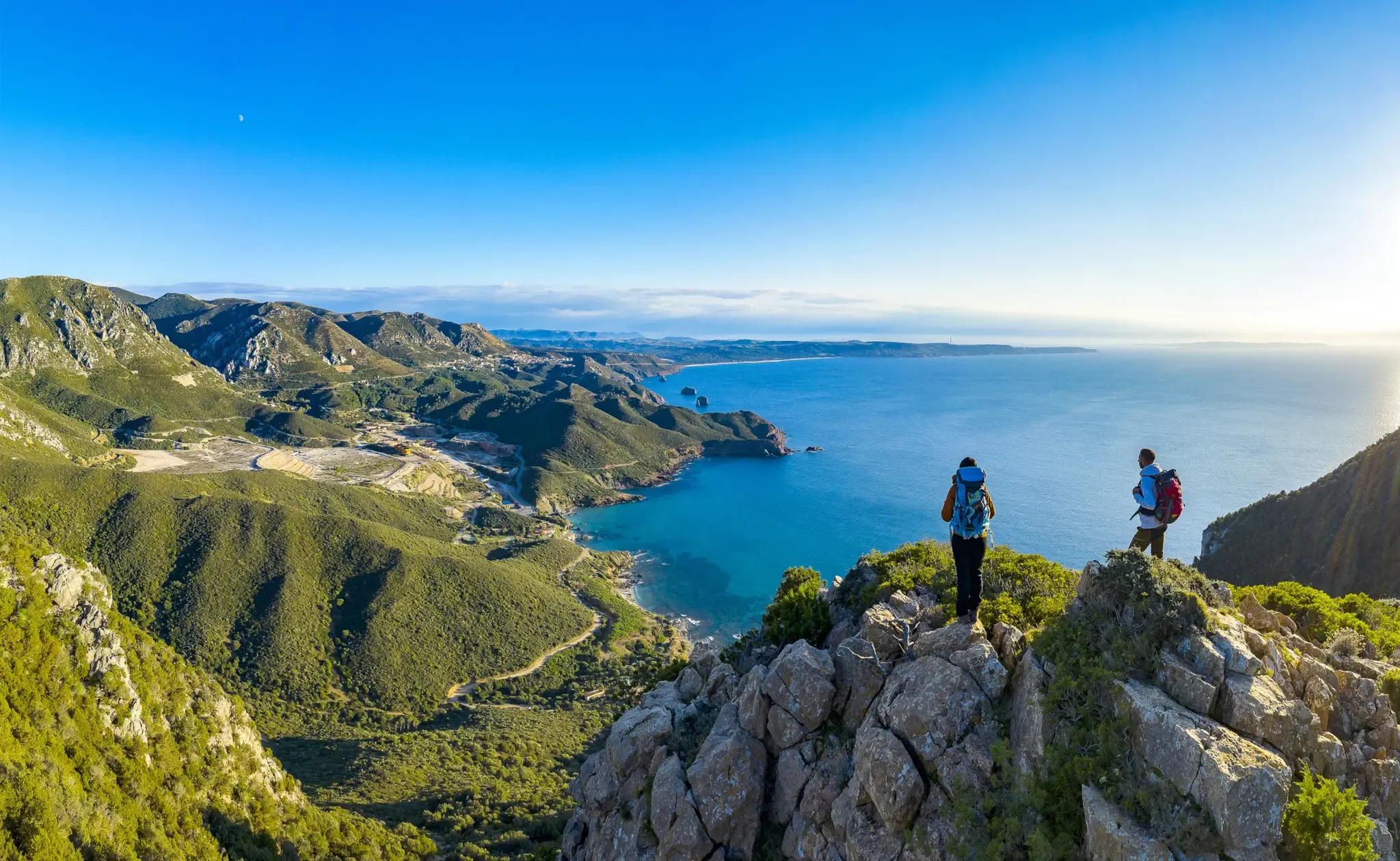
Cammino Minerario di Santa Barbara – memories of ancient Sardinia
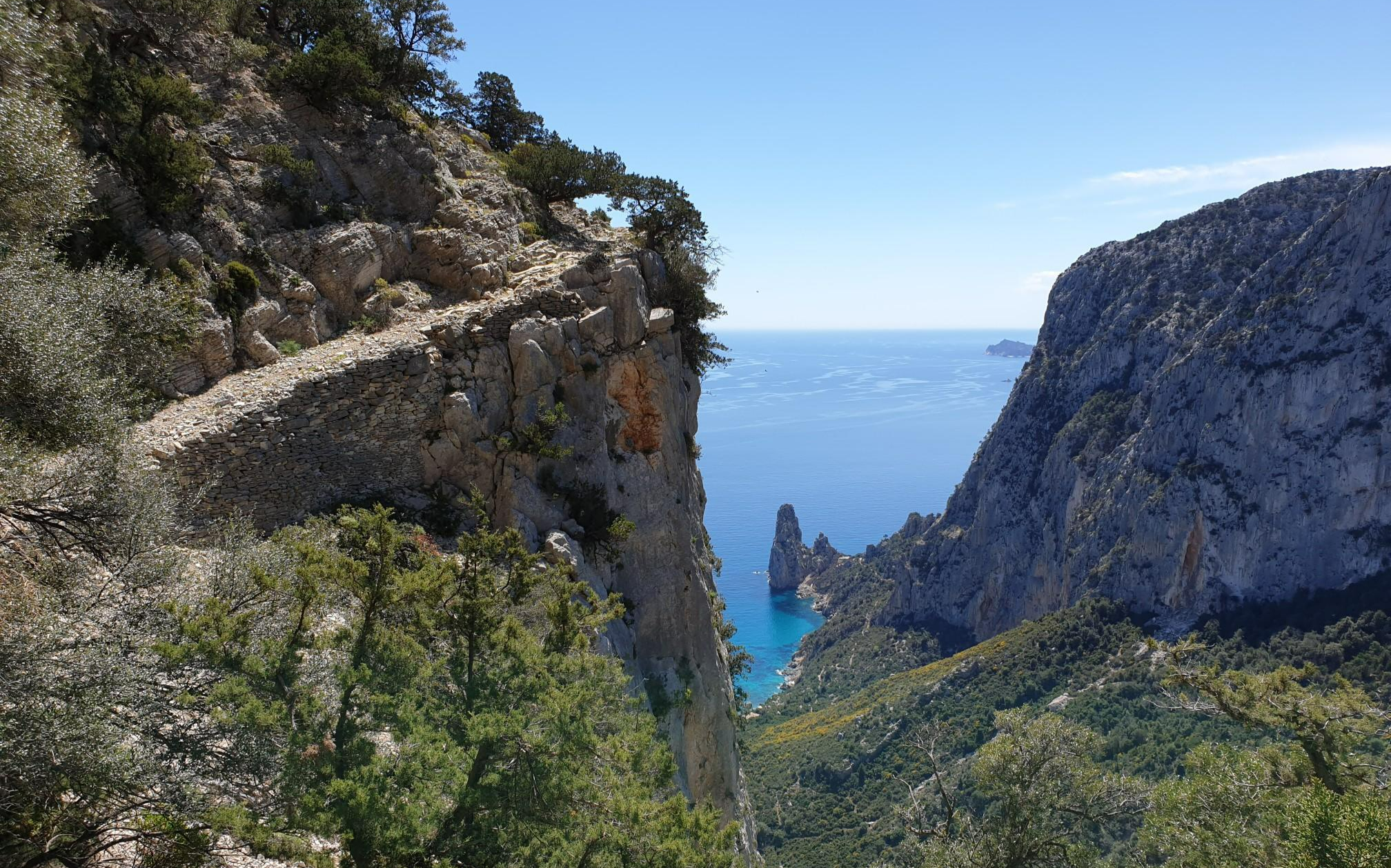
Wild Blue - an adventure overlooking the sea
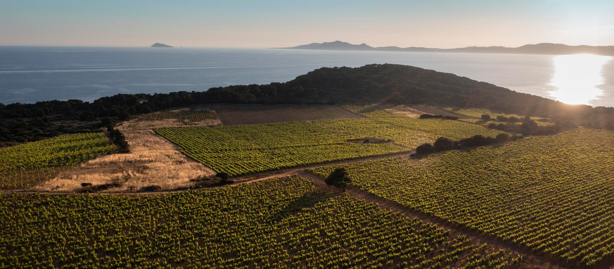
Trails among Carignano's vineyards – Cammino Minerario di Santa Barbara
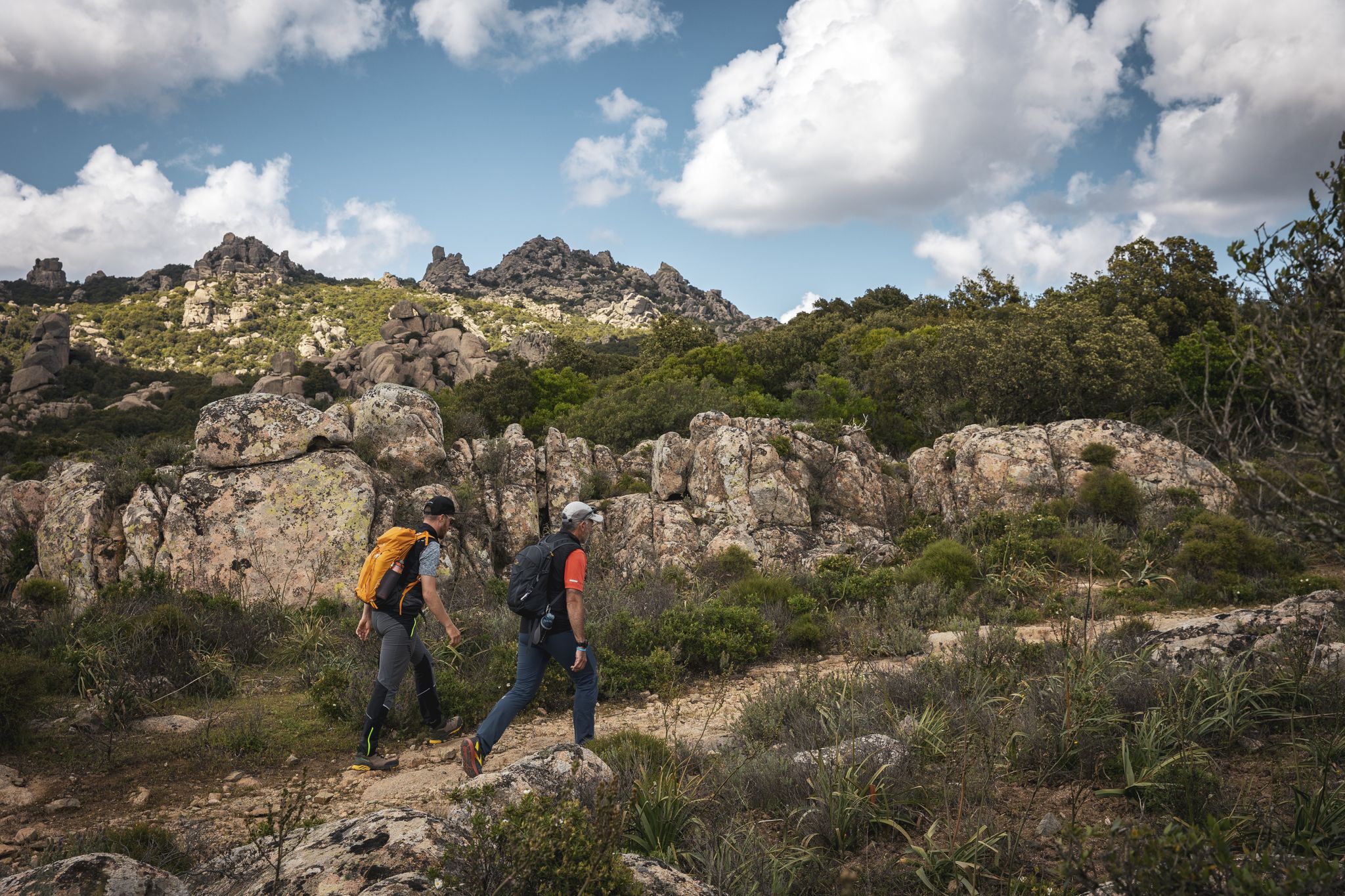
Eternal Sardinia – walks among the wonders of the hinterland
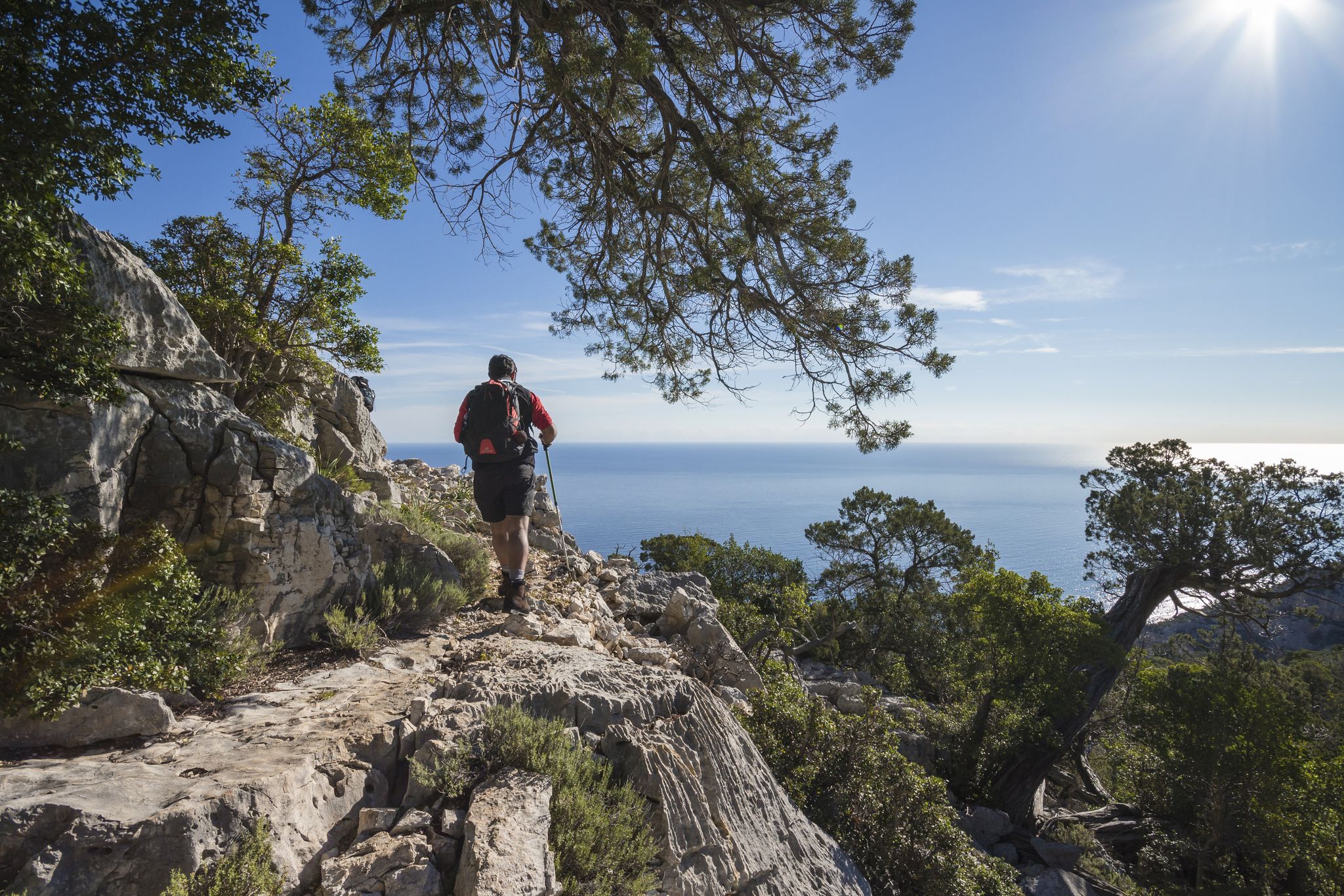
Magnificent Sardinia – day hikes overlooking the sea
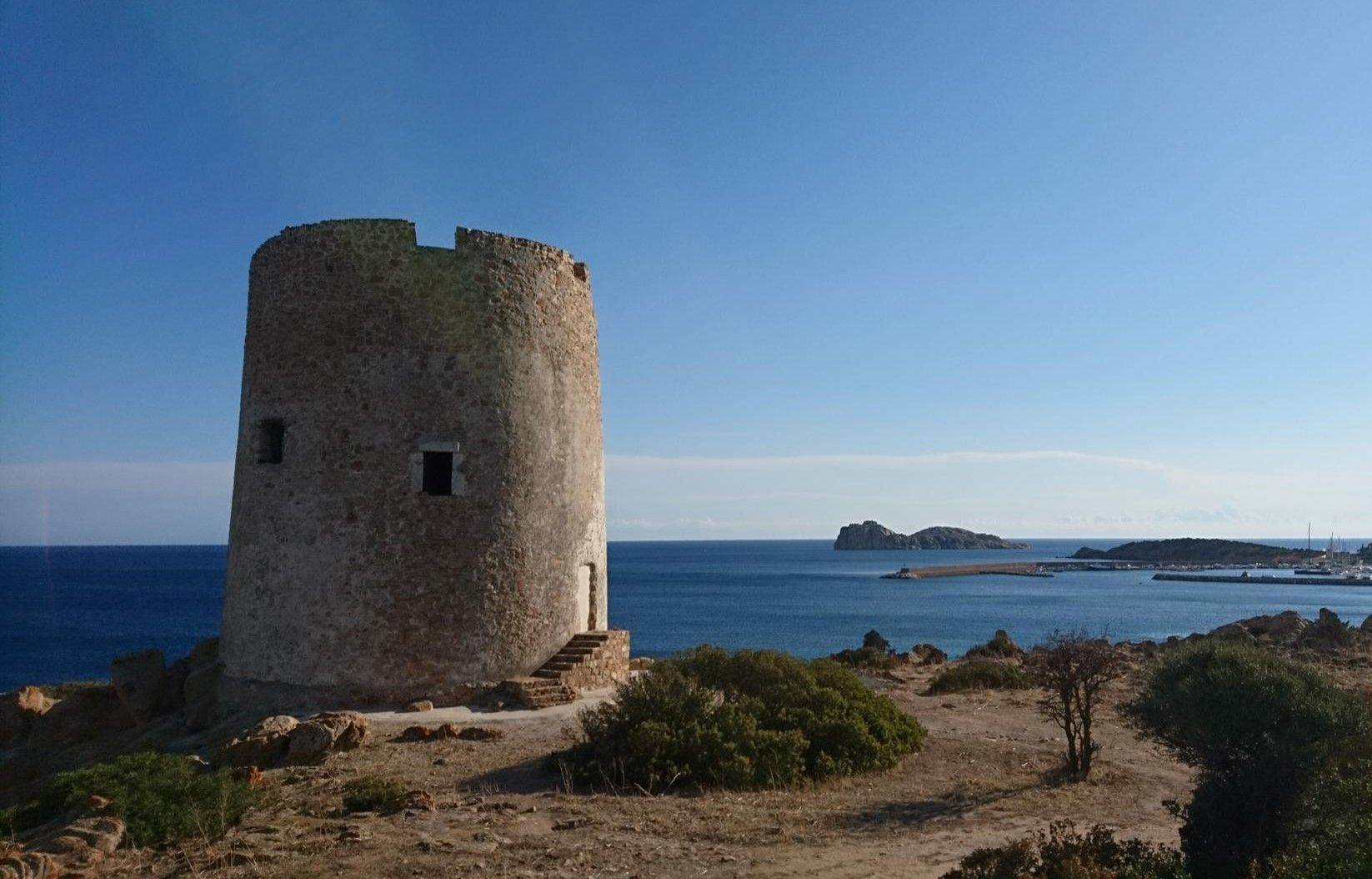
Portoscuso to Cagliari on the Via del Martirio – Cammino 100 Torri
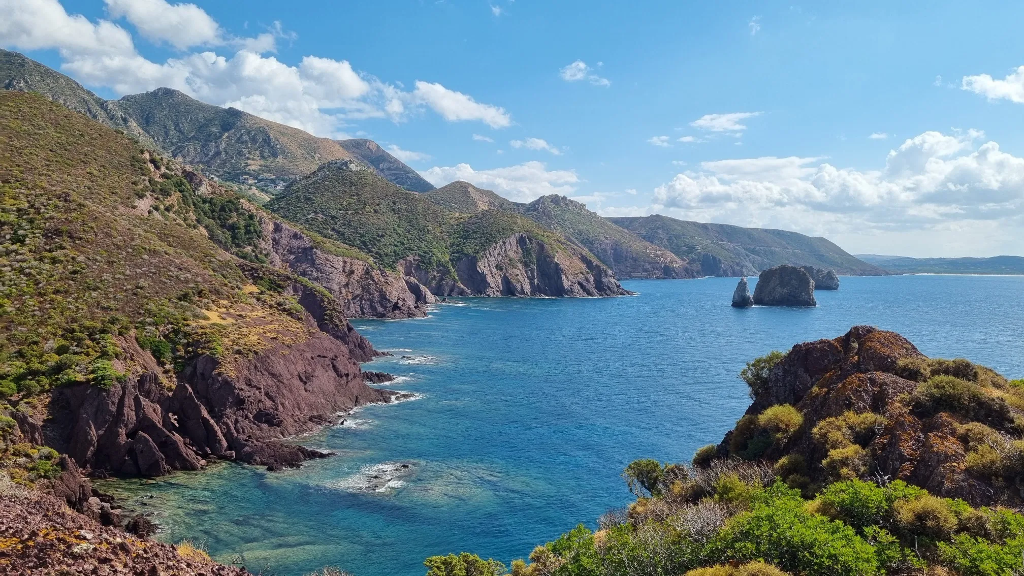
Along the Costa Verde on the Via delle Miniere – Cammino 100 Torri
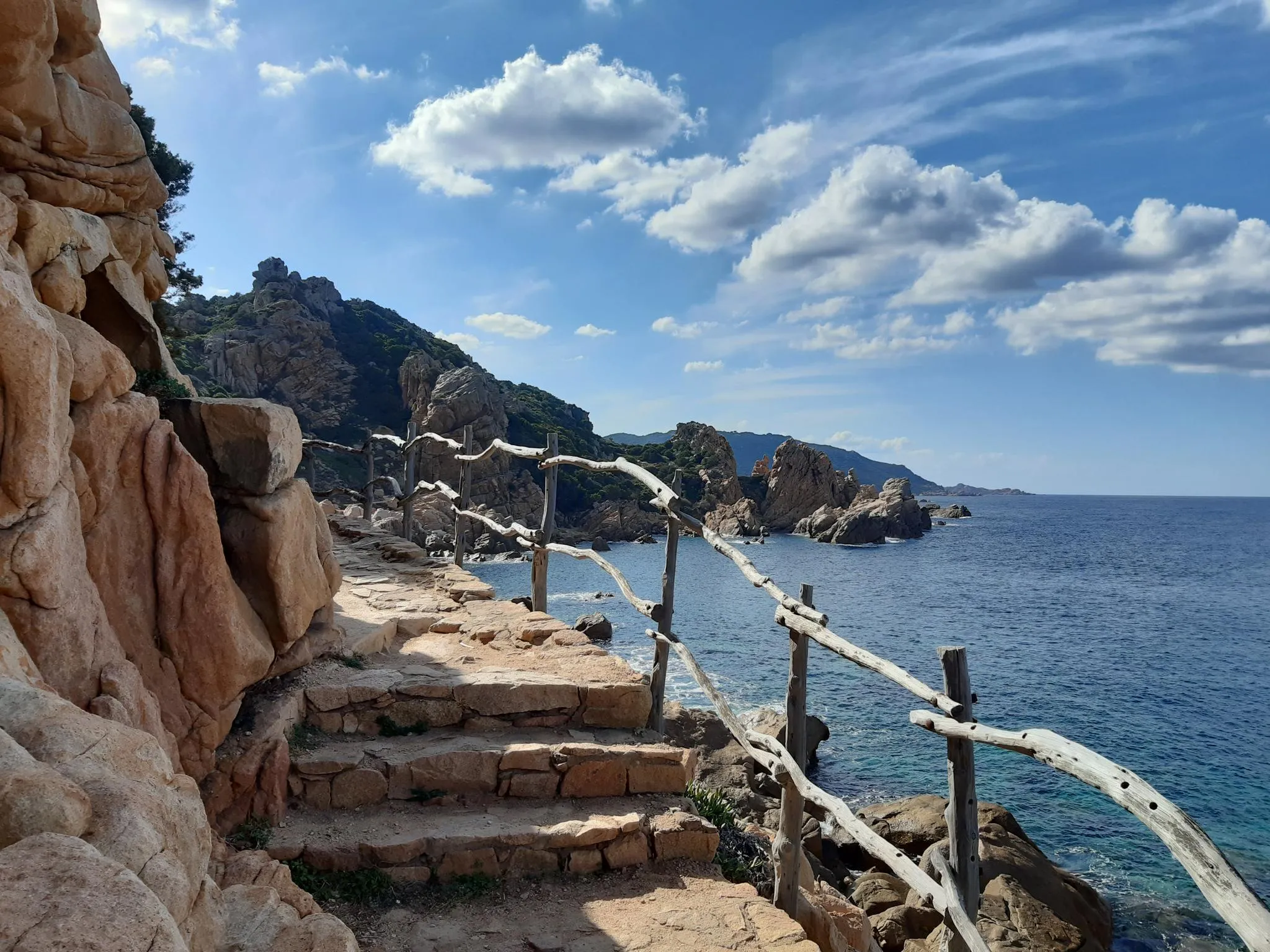
Budoni to Castelsardo on Italy's Via Gallura – Cammino 100 Torri
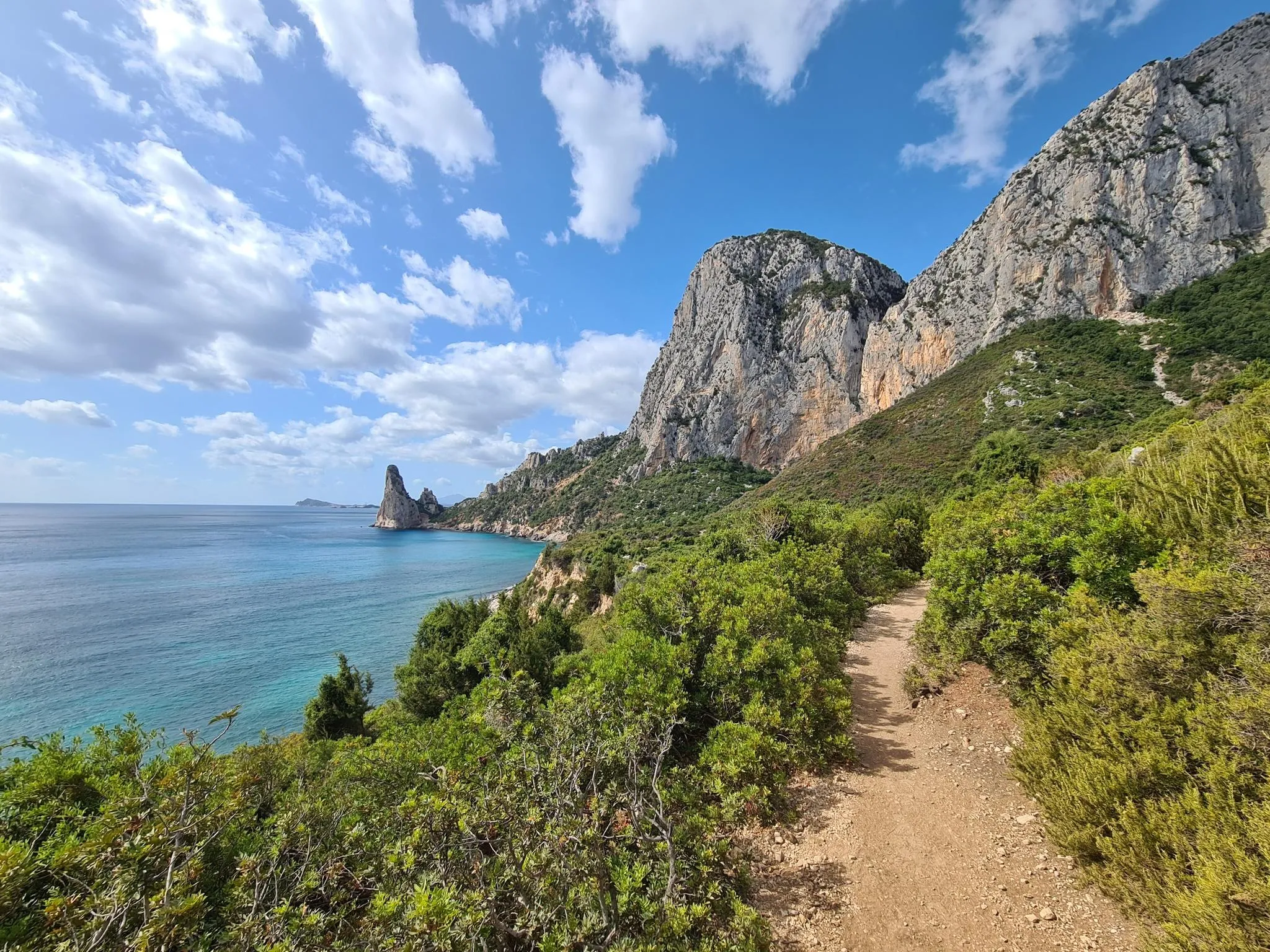
Discover Sardinia on the Via Ogliastra – Cammino 100 Torri
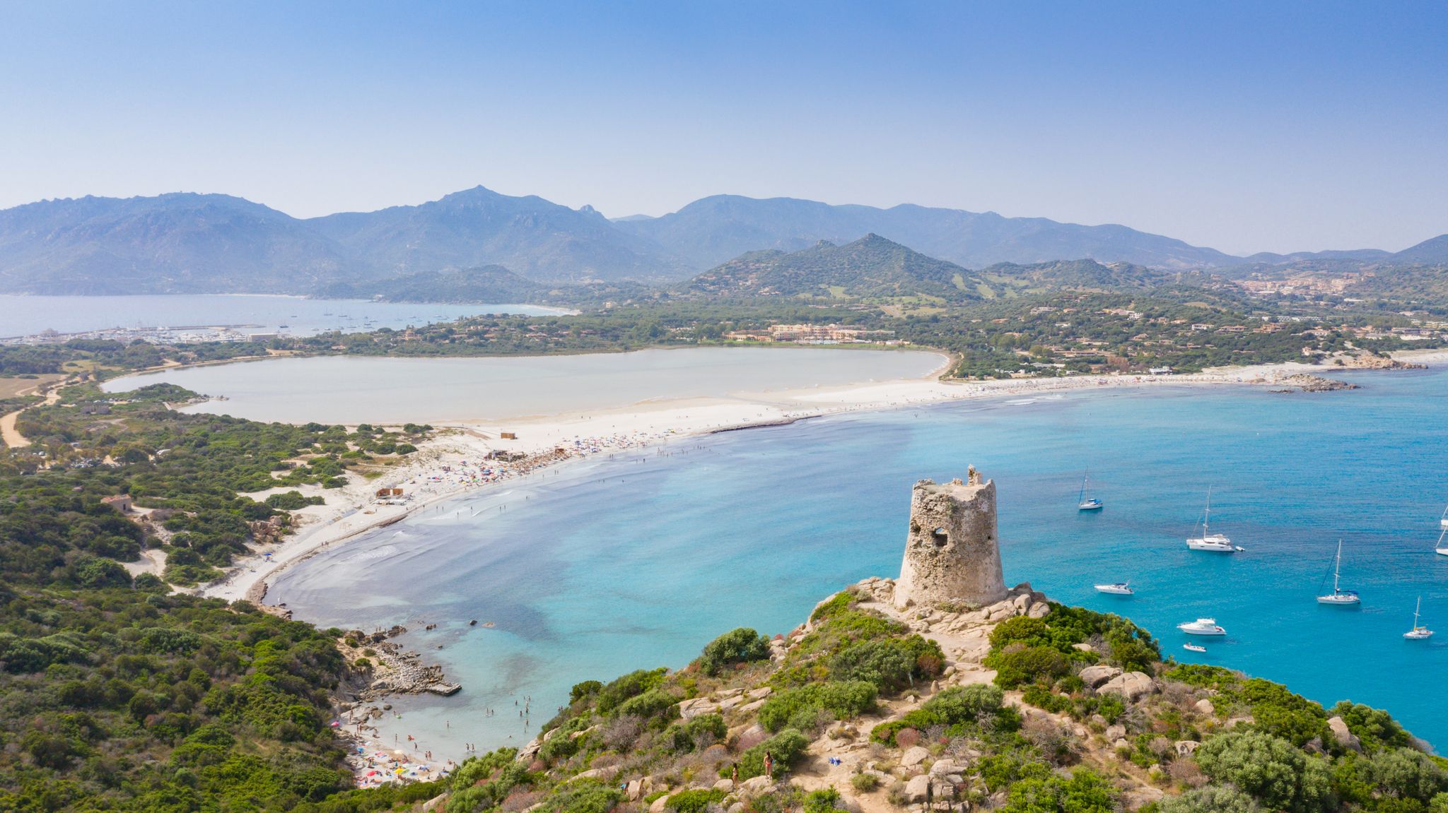
Villasimius to Arbatax along the Via Sarcapos - Cammino 100 Torri
Other adventures in the Sardinia Mountains


Tips from the Community

Grotta Oddoana K1250 L26 is a cave in Sardinia, Italy. Grotta Oddoana K1250 L26 is located near Tziu Santoru beach and the cave Grotta di Fruncu Nieddu K1225 L36 T-11.
0
0

It is truly impressive to hike through this riverbed.
0
0

After the moderately challenging climb, the landscape opens up to the plateau. Simply beautiful. We had a picnic here and watched the sheep grazing, their bells ringing.
0
0

In September, there was significantly less beach than in the pictures. Still, a very nice experience. :)
0
0

This route definitely isn’t for everyone, because like the comment before said, the canyon does not look passable or maybe with some climbing equipment, there are also no wedges or anything to climb. There are also signs for end of the route and arrows for exit in the same direction, so i don’t think it’s even allowed to go forward. It should definitely be mentioned somewhere.
1
0
The path through the gorge is definitely no longer passable! Or only with sufficient alpine equipment.
3
2

After a great tour you will be rewarded with a fantastic view.
0
0
Frequently Asked Questions
How many hiking trails are available in the Sardinia Mountains?
The Sardinia Mountains offer a vast network of trails, with over 1500 hiking routes available on komoot. These range from easy strolls to challenging alpine treks, catering to all experience levels.
What are the different difficulty levels for hiking in the Sardinia Mountains?
The region provides a wide spectrum of hiking experiences. You'll find over 500 easy routes, more than 670 moderate trails, and around 310 difficult treks. This diversity ensures options for casual walkers, those seeking a good workout, and experienced mountaineers alike.
Are there challenging treks for experienced hikers in the Sardinia Mountains?
Absolutely. The Sardinia Mountains are known for their rugged terrain, offering numerous challenging treks. For instance, Discovering Gola Su Gorropu is a difficult 3.3-mile (5.3 km) trail leading through one of Europe's deepest canyons. Another demanding option is Main trail to Cala Mariolu, a 9.7-mile (15.7 km) route with significant elevation gain. The Supramonte and Gennargentu massifs, in particular, feature some of the island's most strenuous and rewarding paths.
What natural features can I expect to see while hiking in the Sardinia Mountains?
Hikers in the Sardinia Mountains will encounter a stunning array of natural features. These include dramatic limestone massifs like the Supramonte, deep canyons such as the Gorropu Gorge, and the island's highest peak, Punta La Marmora in the Gennargentu. You'll also find unique karst landscapes, mixed foliage forests, and areas with volcanic characteristics, especially around Monte Arci Regional Park.
Are there any notable landmarks or attractions along the hiking trails?
Yes, many trails lead to or pass by significant landmarks. The famous natural monument of Cala Goloritzé is a highlight, accessible via the Hike to Cala Goloritzé. Other attractions include the stunning Cala Luna beach, the imposing Gorropu Gorge, and various mountain peaks like Monte Corrasi Summit. Some routes also reveal ancient Nuragic settlements hidden in sinkholes.
Can I find trails that offer coastal views in the Sardinia Mountains?
Absolutely. The central-eastern coast of Sardinia offers unique trails that blend mountain scenery with breathtaking sea views. Routes like Cala Fuili to Cala Luna provide stunning coastal scenery between picturesque coves. The Gulf of Orosei is particularly renowned for its magnificent views over the Mediterranean.
Are there any circular hiking routes in the Sardinia Mountains?
Yes, there are several excellent circular routes. For example, Cala Luna – Round trip offers a scenic loop, and The Gorropu canyon - Ring tour provides a comprehensive experience of the famous gorge. Another option is Along the Ivy River - Loop Tour, which explores a different natural setting.
What is the best time of year to go hiking in the Sardinia Mountains?
The best time for hiking in the Sardinia Mountains is typically spring (April to June) and autumn (September to October). During these seasons, the weather is milder, the landscapes are lush, and the temperatures are ideal for outdoor activities. Summer can be very hot, especially at lower elevations, while winter can bring snow to the highest peaks, making some trails more challenging.
Are the hiking trails in the Sardinia Mountains suitable for families?
Many trails in the Sardinia Mountains are suitable for families, especially those seeking easier walks. The Monte dei Sette Fratelli Nature Park, for instance, offers well-marked routes and abundant picnic spots. Look for routes categorized as 'easy' on komoot, which often feature gentler gradients and shorter distances, making them enjoyable for all ages.
What kind of wildlife might I encounter while hiking in the Sardinia Mountains?
The untouched wilderness of Sardinia's mountains provides opportunities to spot diverse wildlife. In areas like Gennargentu National Park and Monte dei Sette Fratelli Nature Park, you might encounter the Sardinian deer, wildcats, wild sheep, and various bird species, including golden eagles. The Monte Arcosu WWF Oasis is particularly known as a haven for Sardinian deer.
What do other hikers enjoy most about hiking in the Sardinia Mountains?
The Sardinia Mountains are highly rated by the komoot community, with an average score of 4.4 stars from over 13,000 reviews. Hikers often praise the region's diverse and wild landscapes, the unique combination of mountain and coastal scenery, and the opportunity to explore dramatic natural features like deep canyons and impressive limestone formations. The variety of trails, catering to all fitness levels, is also frequently highlighted.
Are there opportunities for wild swimming on hikes in the Sardinia Mountains?
While not explicitly marked on all hiking routes, Sardinia's diverse landscape, particularly its coastal areas and some river systems, offers opportunities for wild swimming. Trails leading to pristine coves like Cala Goloritzé or Cala Luna provide access to the clear waters of the Mediterranean. Additionally, some rivers and gorges, such as the Rio San Girolamo, may offer spots for a refreshing dip, especially during warmer months.
Most popular routes in the Sardinia Mountains
Most popular attractions in the Sardinia Mountains

Get inspired with the komoot mobile app


Explore more
Browse the best Hikes in other regions.
